
Port of Aden, Yemen
MVRsimulation has built virtual terrain of Aden, Yemen, a port city located in southwest Yemen and on the Gulf of Aden.
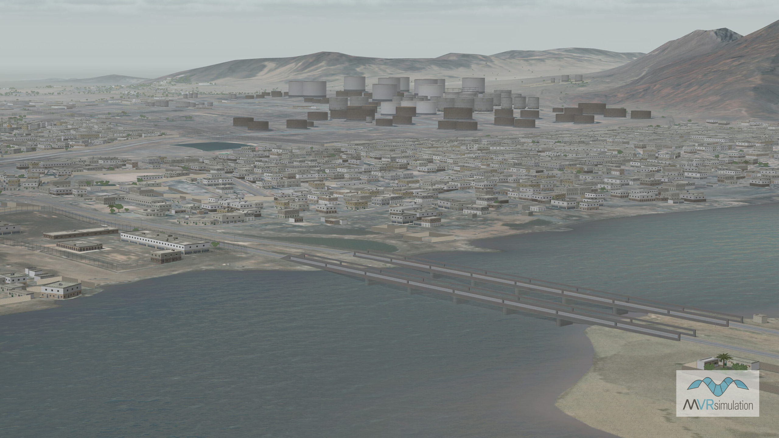
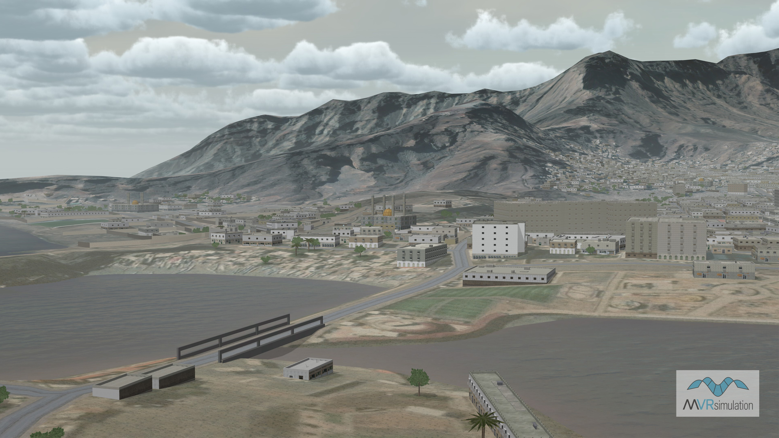
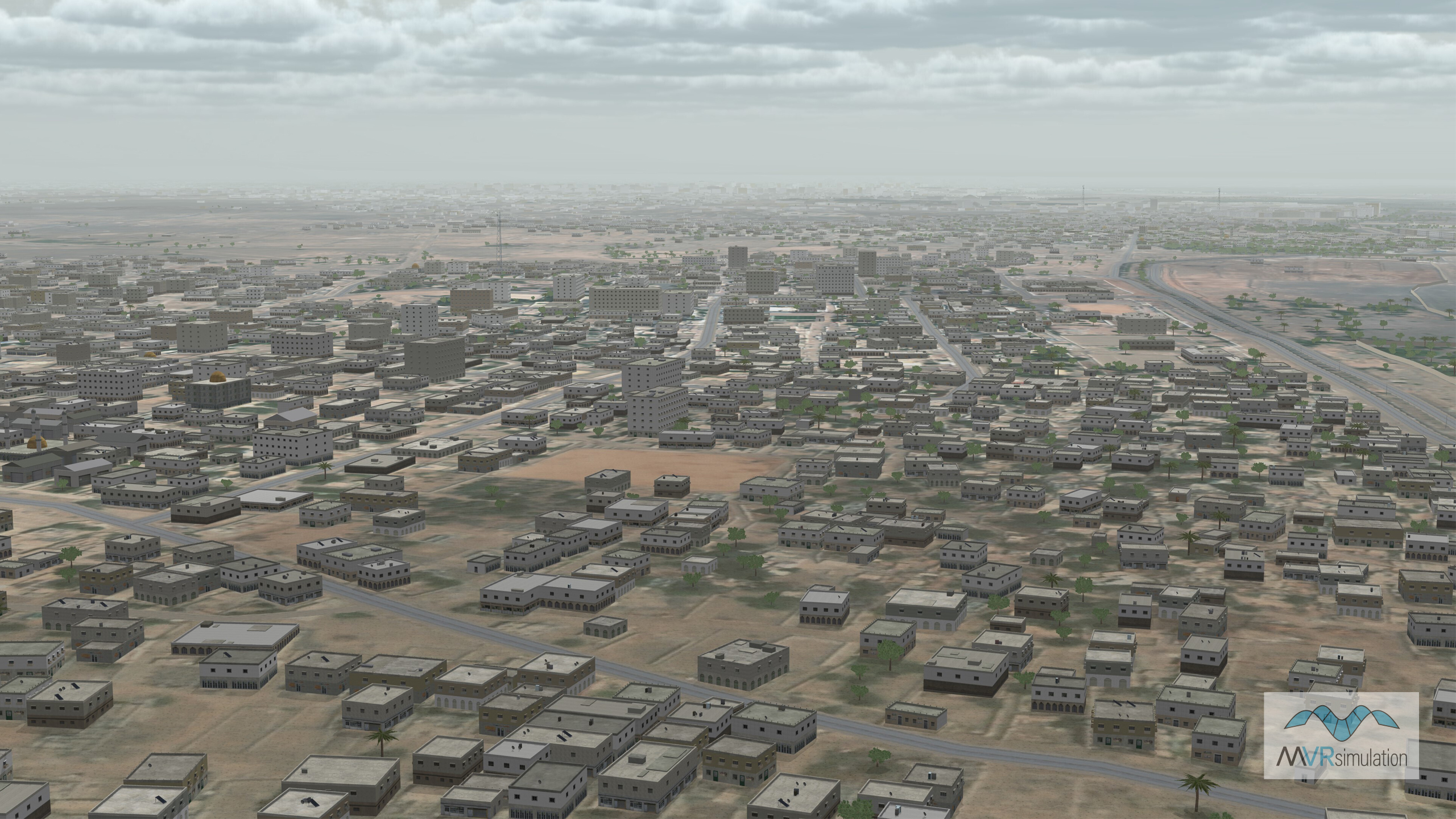
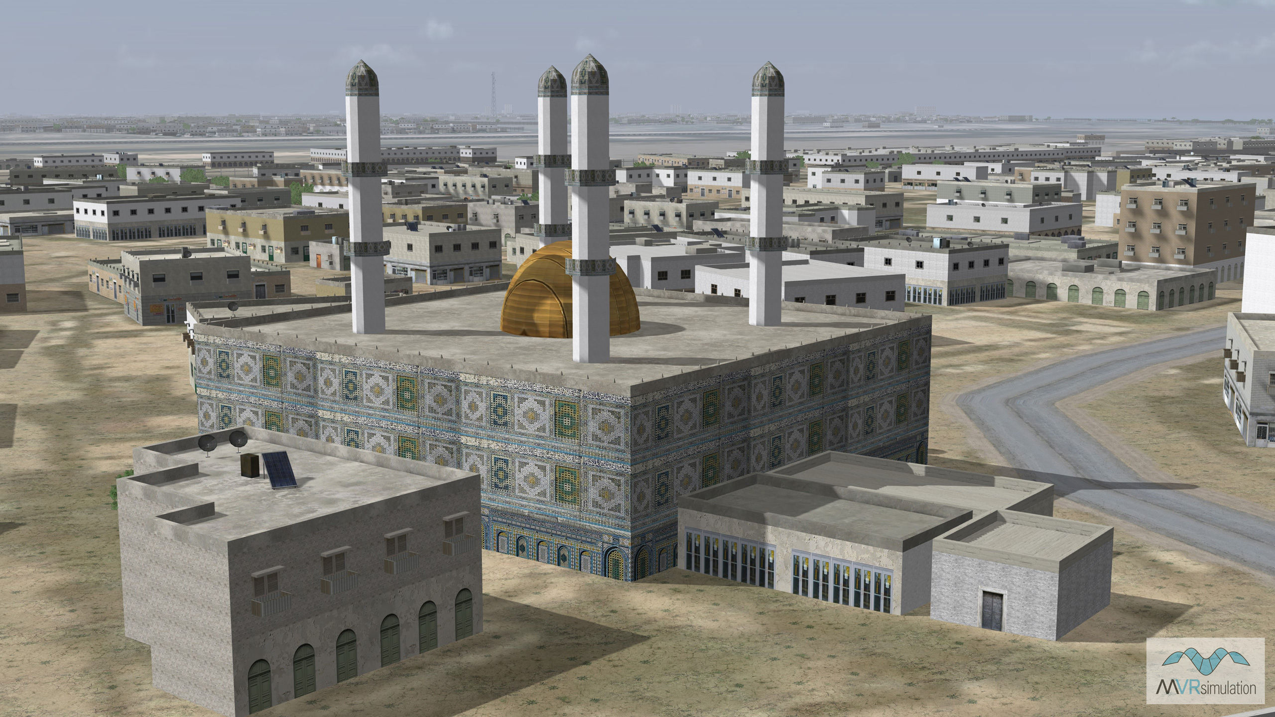
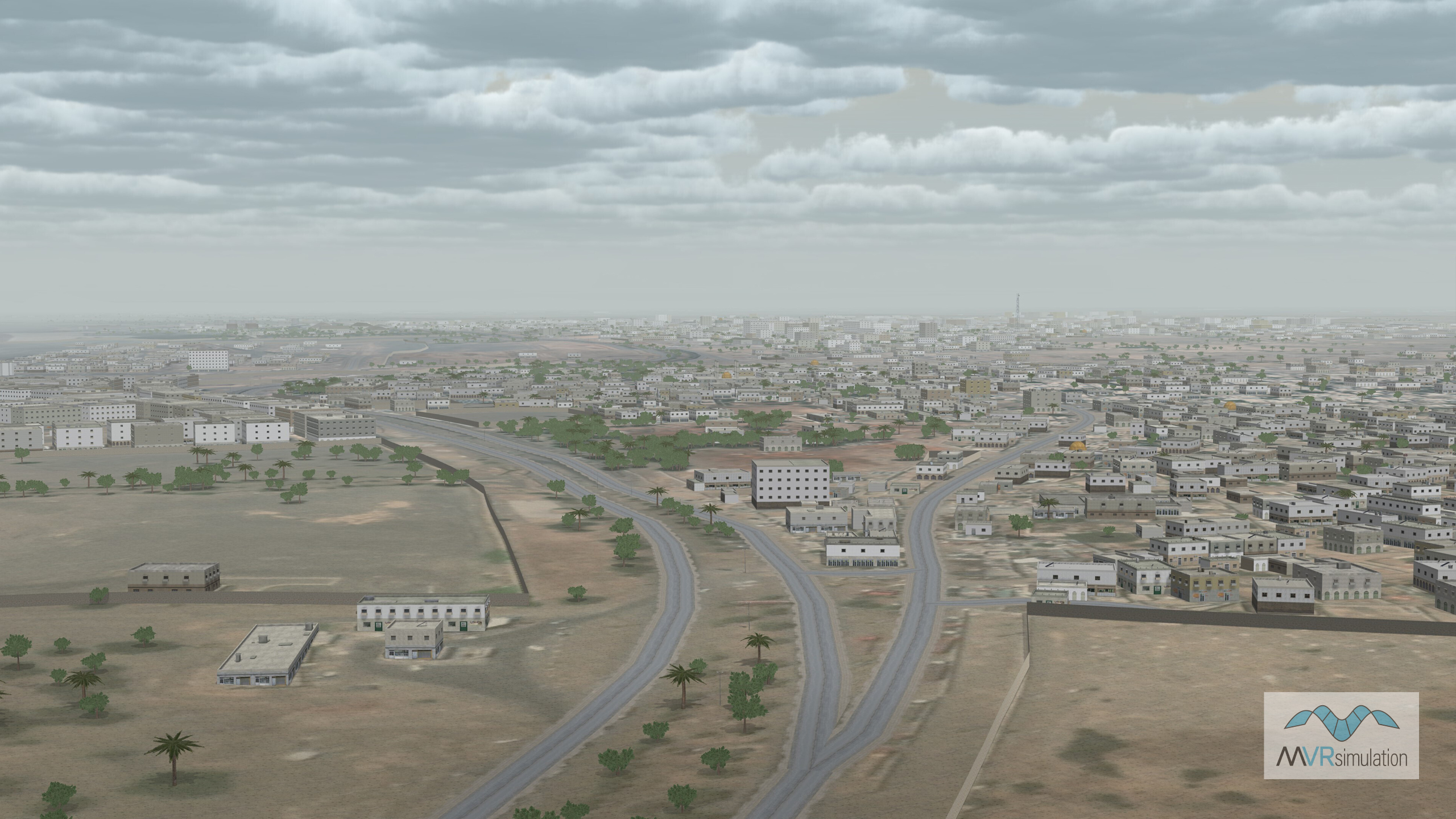
Aden, Yemen has been added to our Asia & Middle East Continent database. The terrain includes an inset of the Port City of Aden, Yemen, which was built using a 50cm othoimagery mosaic combined with a digital terrain model compiled at 30m elevation post spacings using SRTM data. The terrain model was compiled in MVRsimulation’s Terrain Tools for Esri® ArcGIS®, and built with a true-color Landsat-8 mosaic at a resolution of 15m.
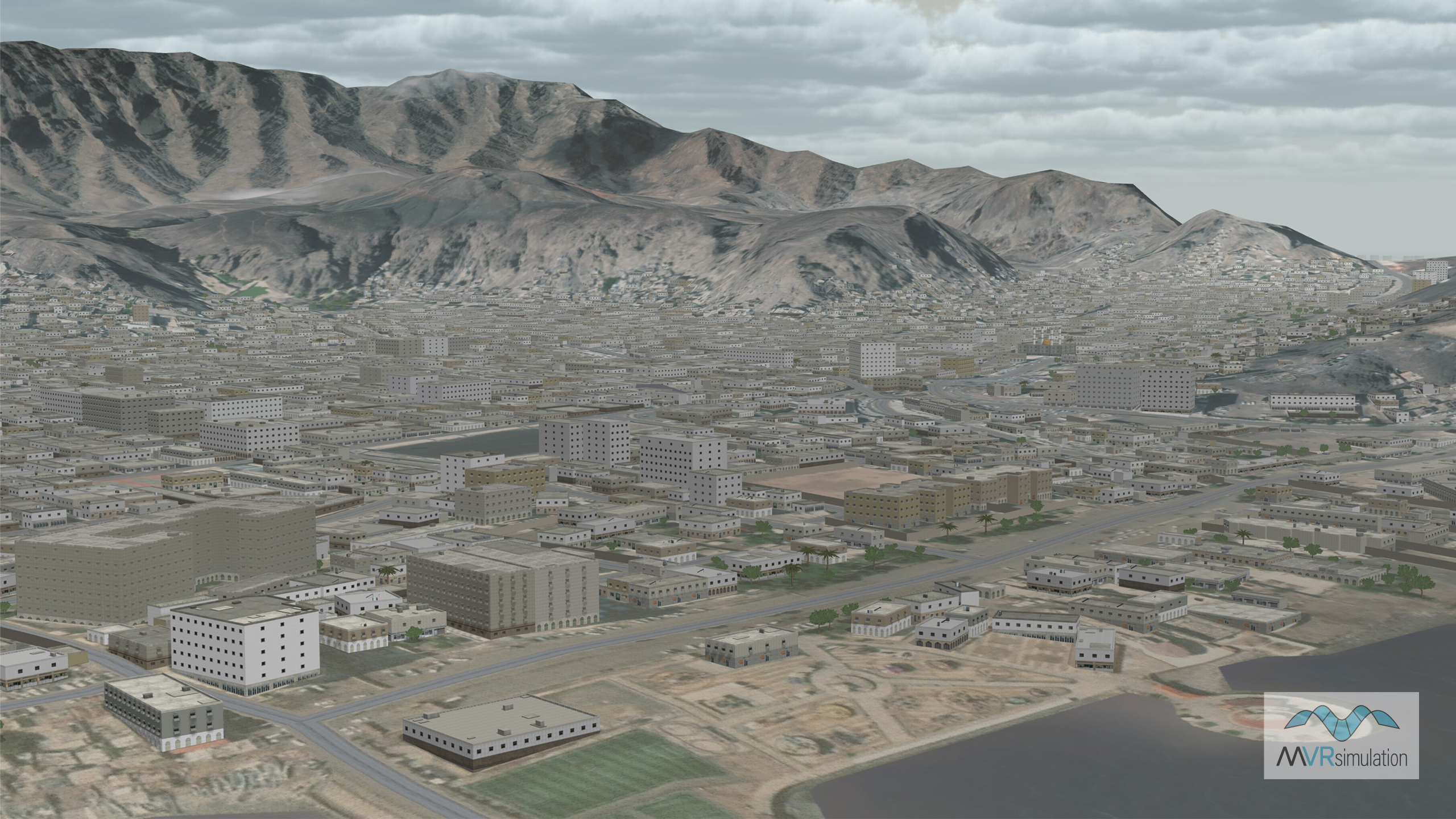
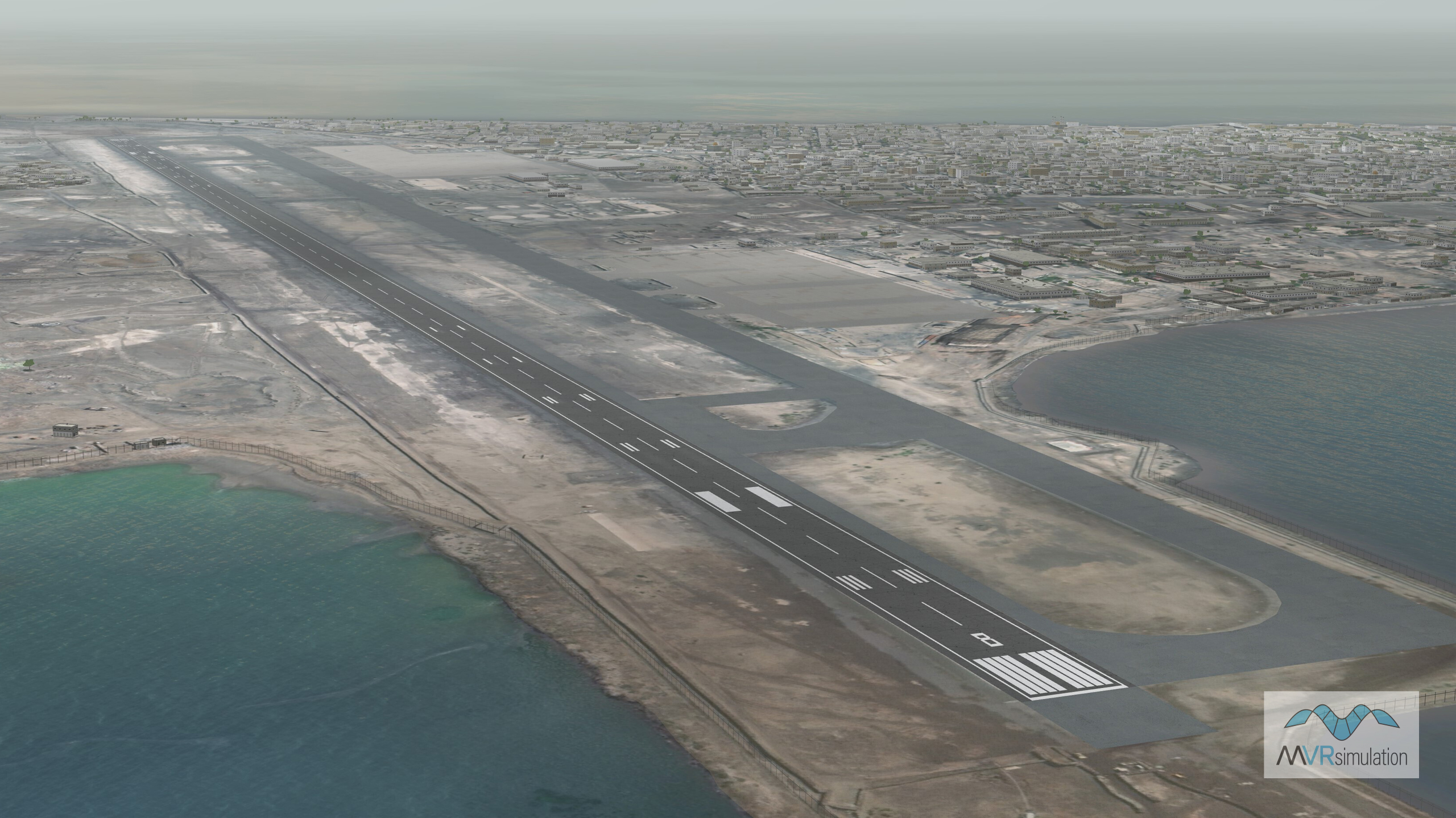
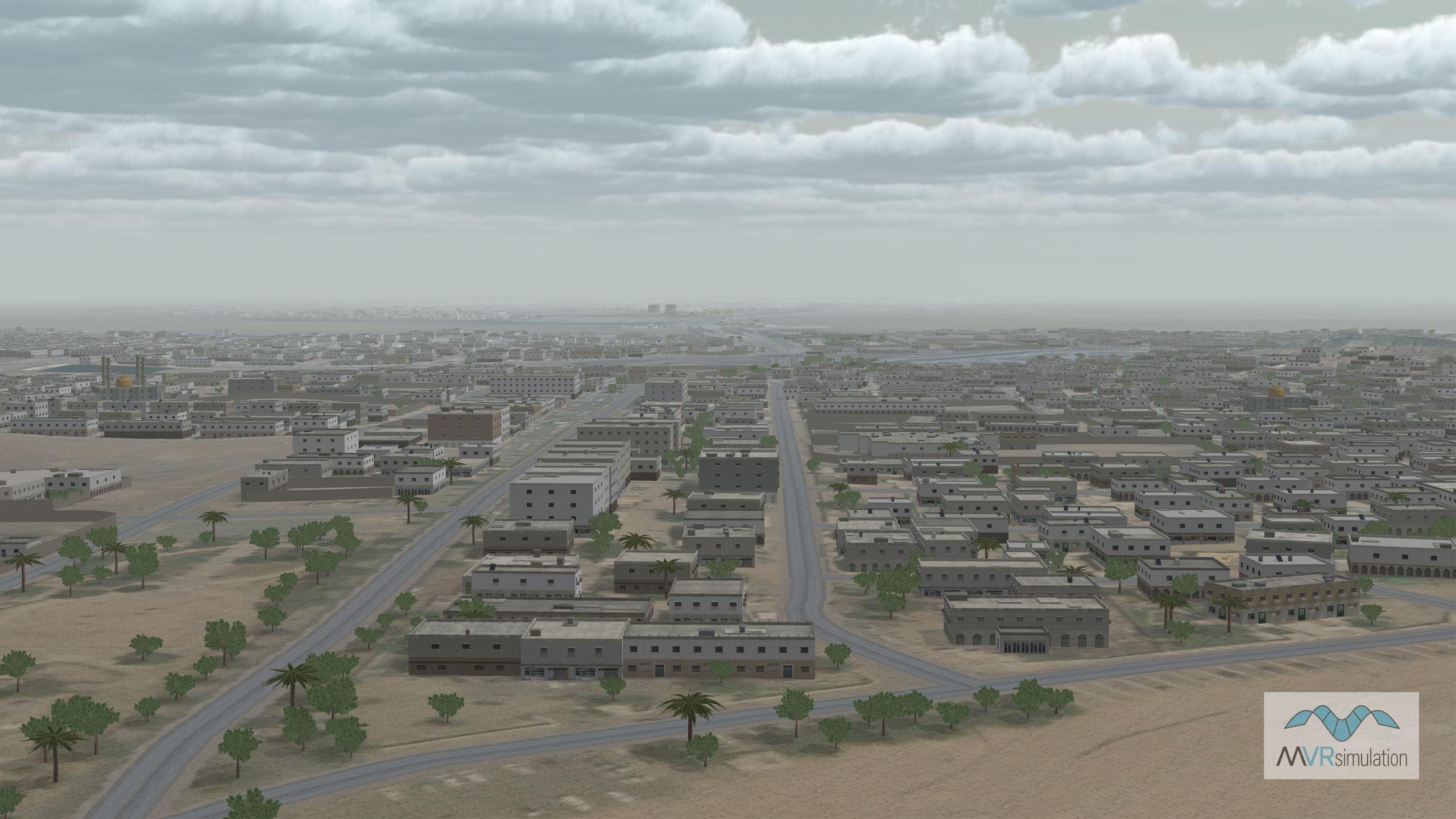
The city's 3D culture includes several thousand geotypical CityEngine building models populated throughout Aden and Little Aden, and several roads were compiled into the terrain throughout the Aden area. The terrain also includes a 2D model of the runway at Aden International Airport, bridges connecting mainland Aden to Little Aden, and geotypical oil tank models are placed throughout the area. Geotypical 2D fences and tree models were also populated throughout the terrain.
The Aden, Yemen, terrain dataset is provided in round-earth VRSG terrain format and is available for purchase to customers who are on active VRSG software maintenance and are US Government or NATO agencies or contractors (for official use only).
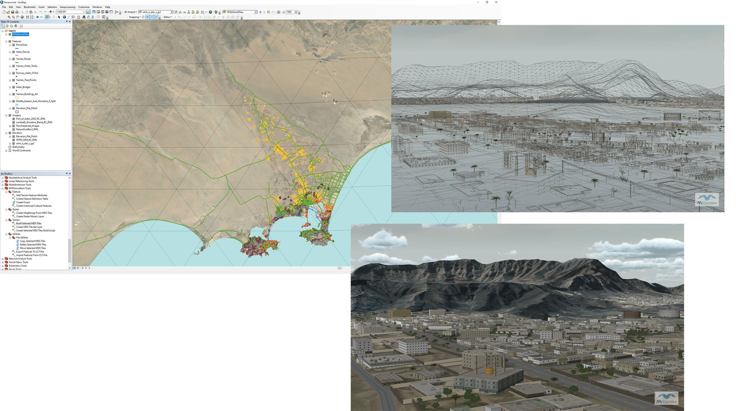
MVRsimulation’s Terrain Tools extension to Esri ArcGIS above on the left with wireframe views and real-time aerial views of the resulting 3D terrain in MVRsimulation's VRSG on the right. All scenes show the Port City of Aden in MVRsimulation’s geospecific virtual terrain of Southwest Yemen.
Virtual Port City of Aden, Yemen, is available on MVRsimulation's Asia region terrain drive, or as a separate dataset that customers can obtain from MVRsimulation's Download Server. VRSG 7.0.99 or newer and active software maintenance through 7/28/2022 required.