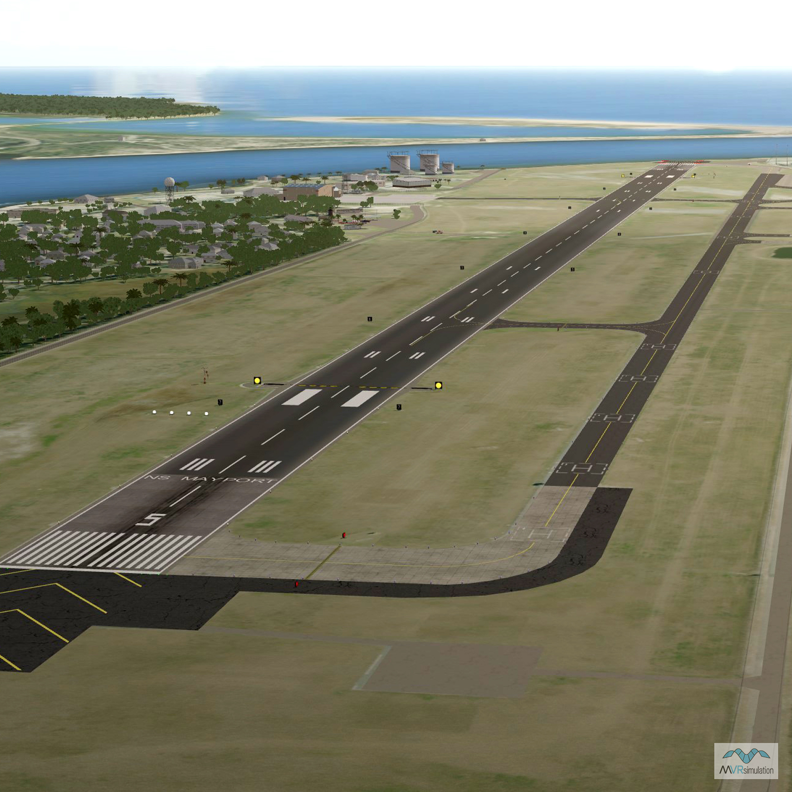
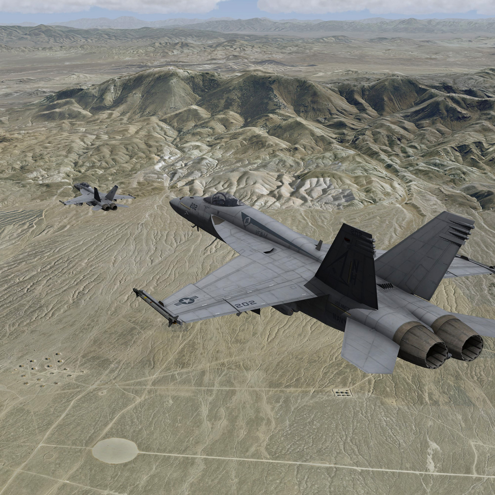
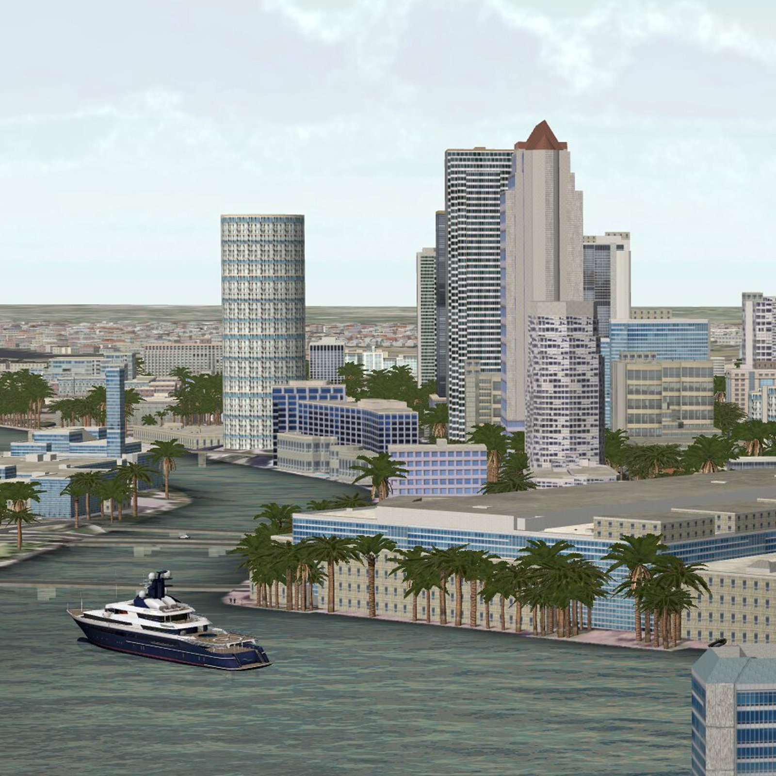
3D Terrain Overview

3D Terrain Overview

3D Terrain Overview

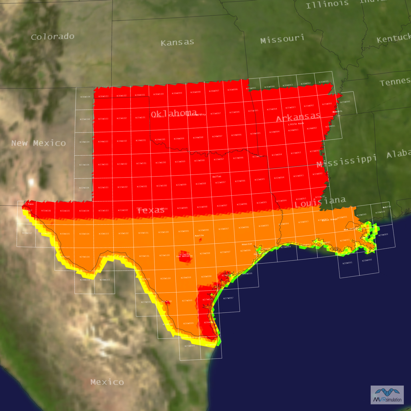
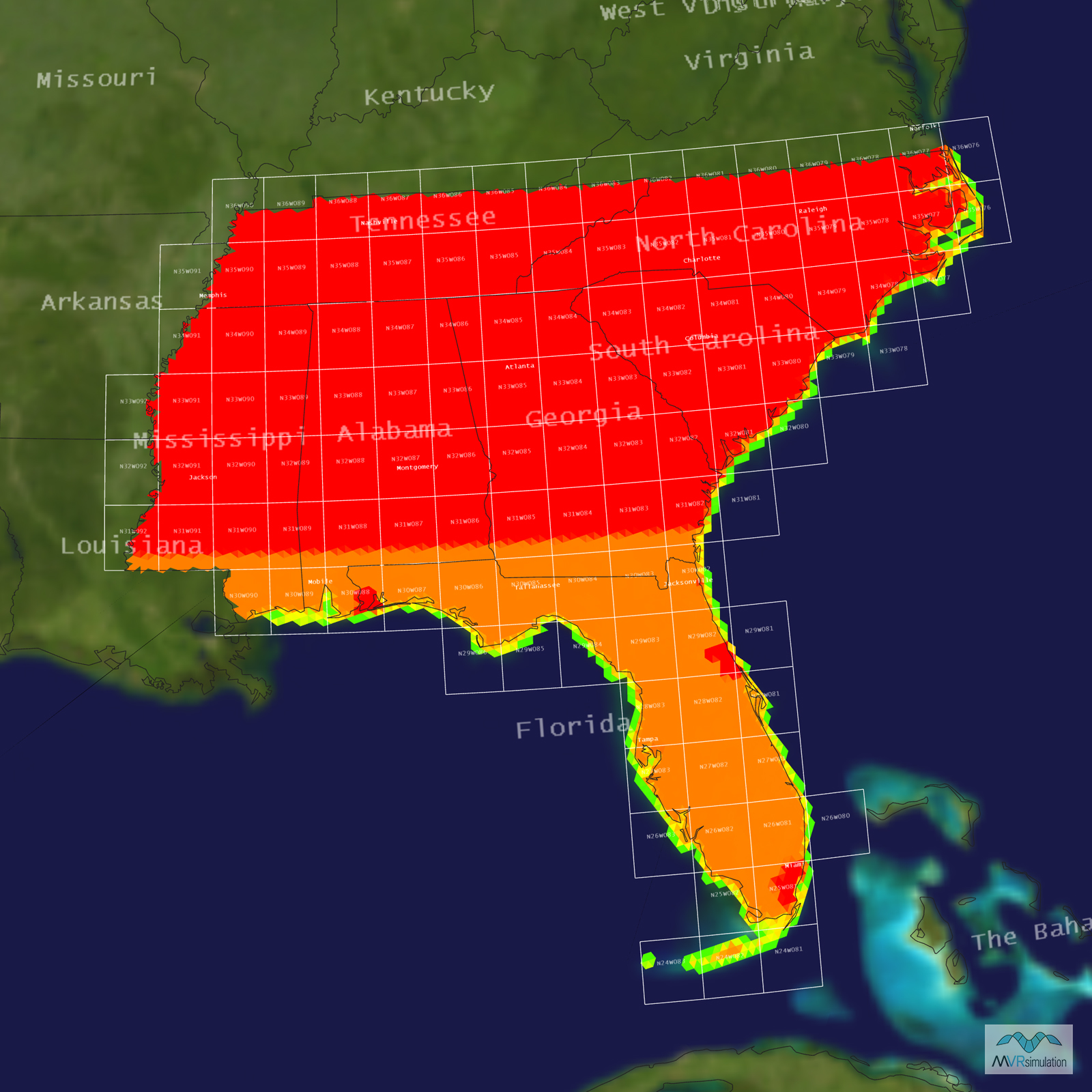
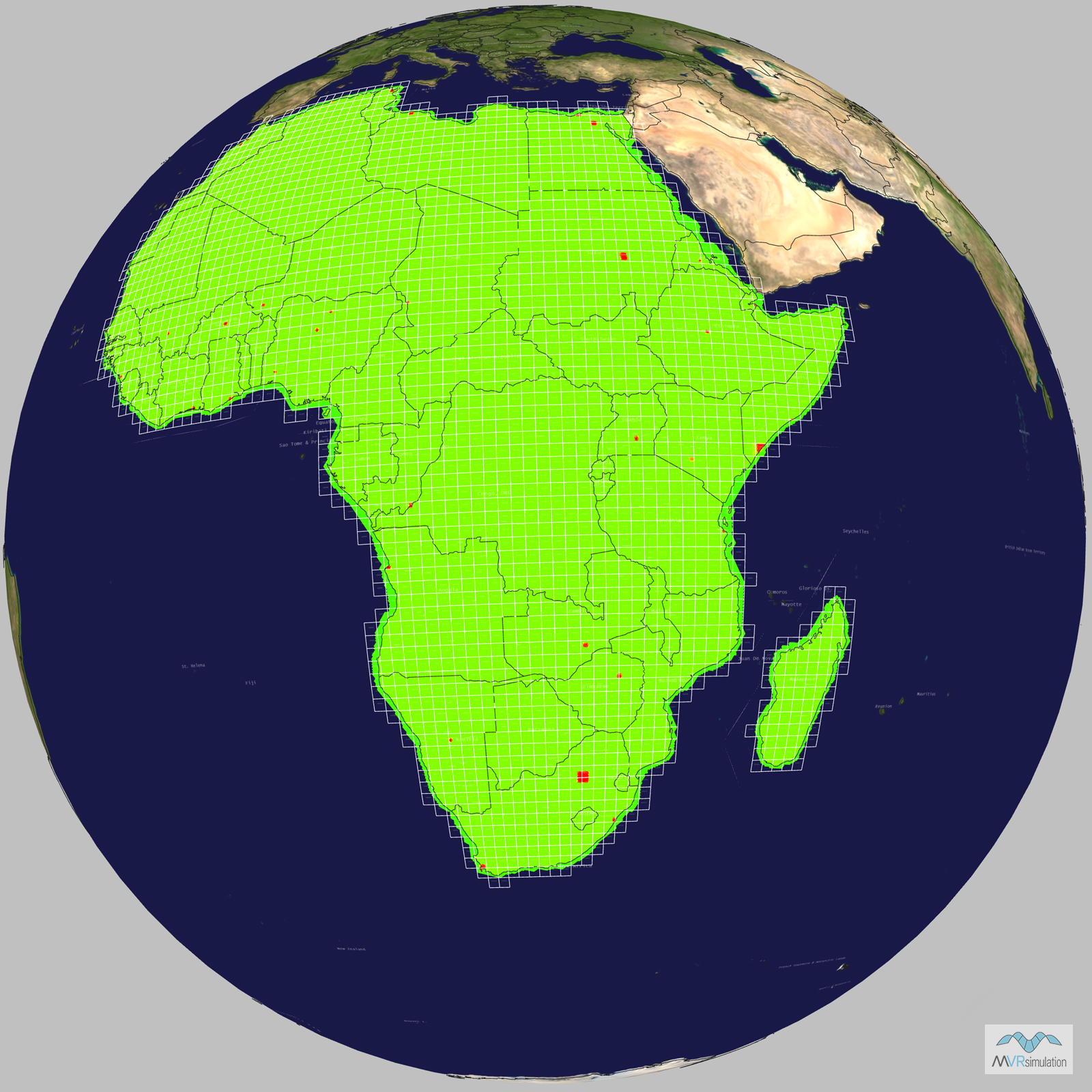
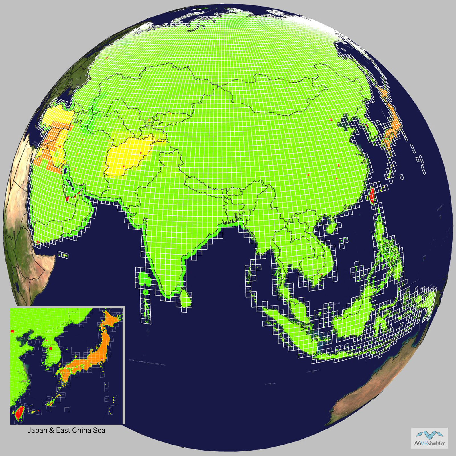
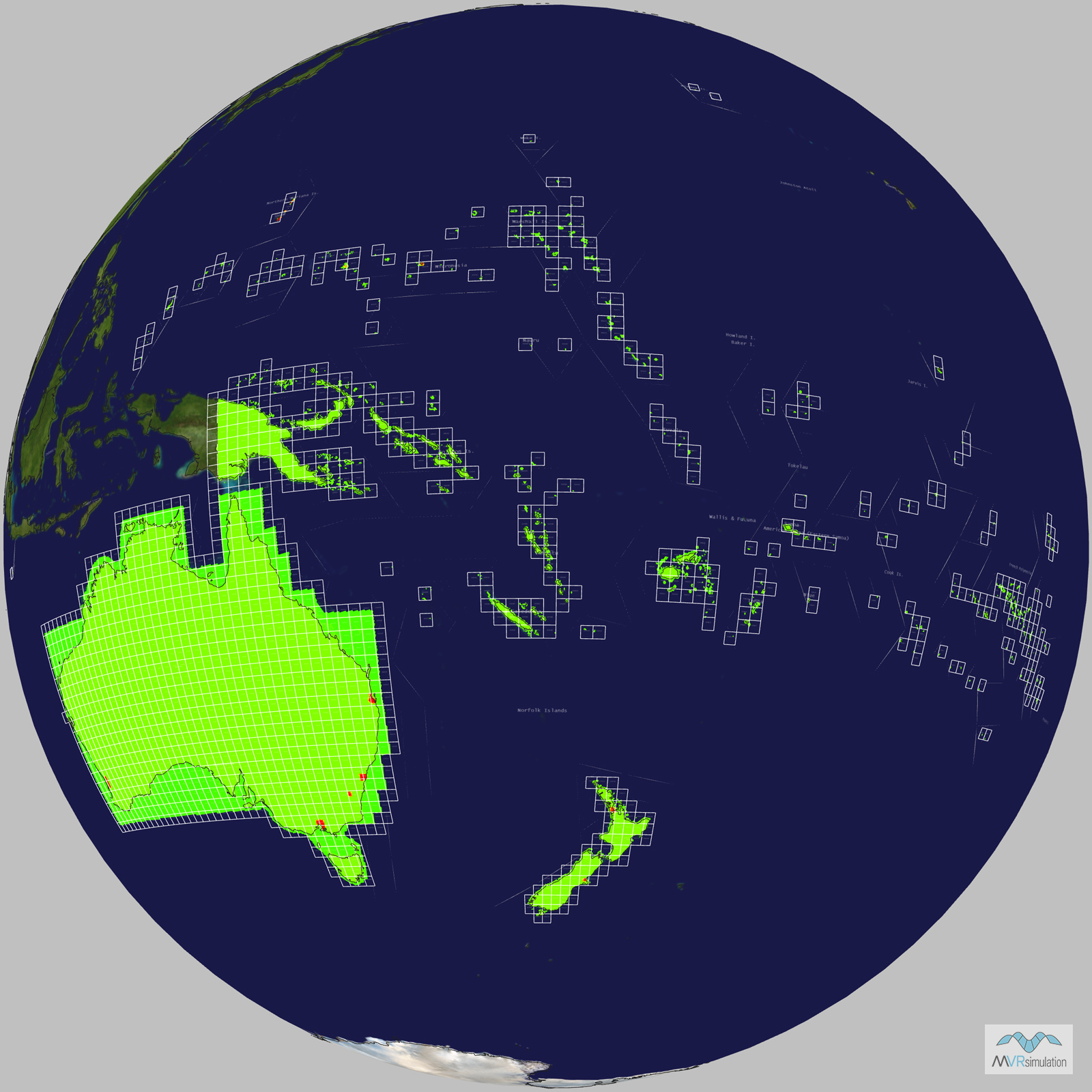
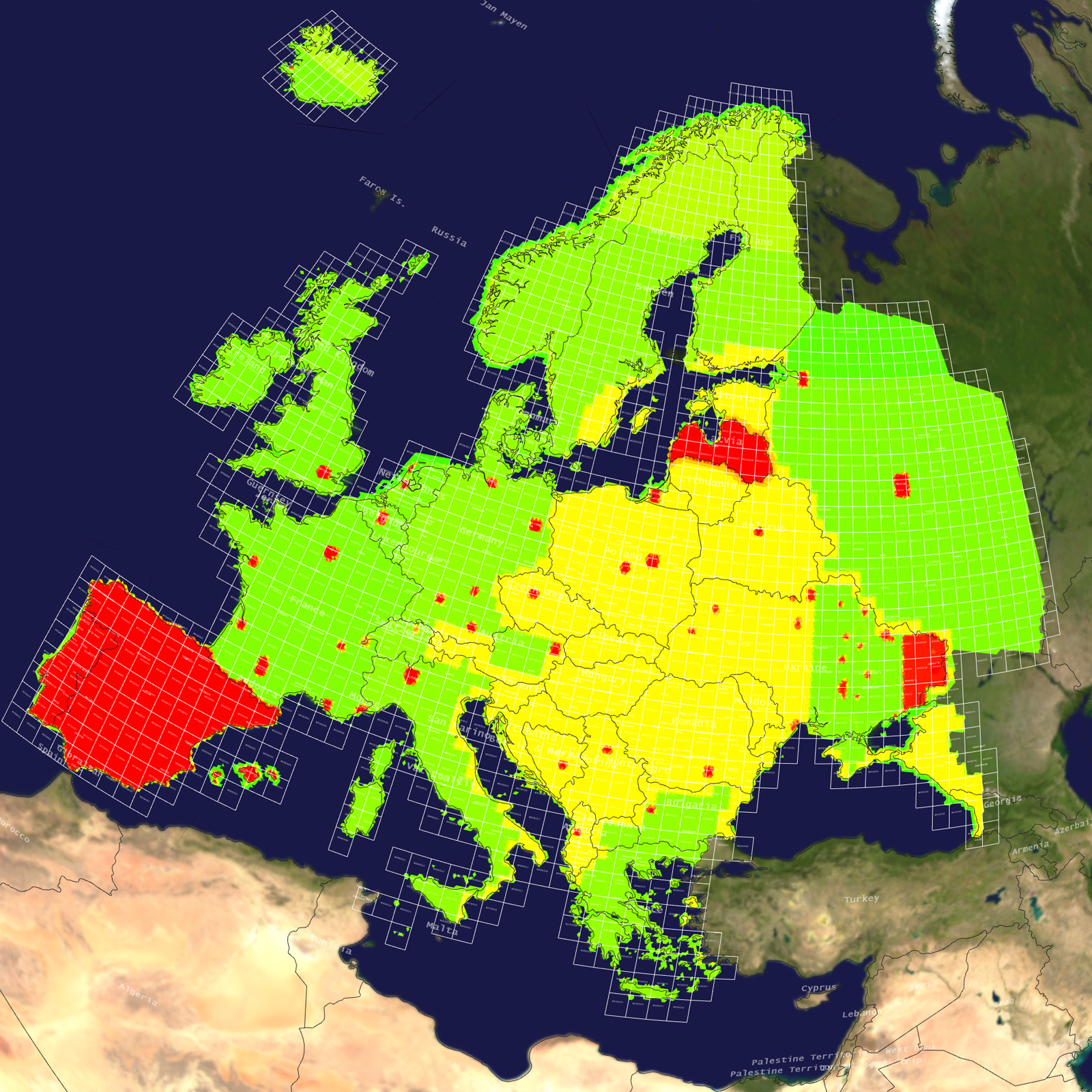
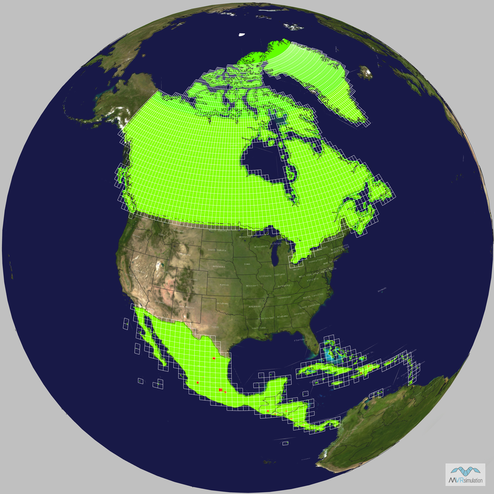
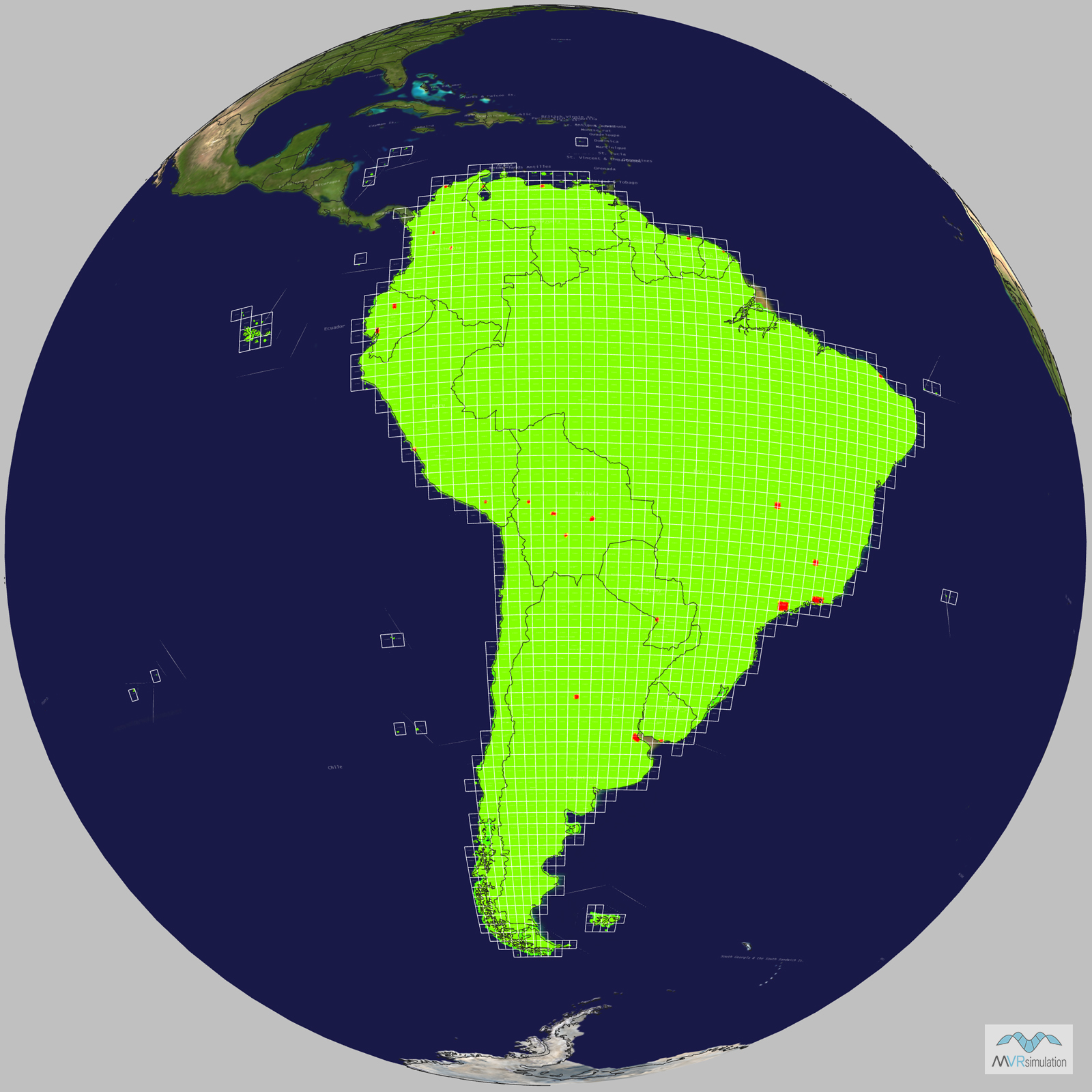
MVRsimulation has built 3D terrain of most of the world, covering Continental USA plus AK and HI (CONUS ++), and the continents of Africa, Asia, Australia and Oceania, Europe, North America, and South America, in its round-earth geocentric VRSG terrain format. These 3D terrain datasets were built with MVRsimulation’s Terrain Tools for Esri® ArcGIS® for real-time visualization in MVRsimulation’s Virtual Reality Scene Generator (VRSG).

These 3D terrain datasets are suitable for rendering in applications such as glass-cockpit displays, intelligence, surveillance, and reconnaissance (ISR) applications, joint fires close-air-support (CAS) exercises, and fixed-wing cockpit simulation. The terrain can also serve as a baseline to which you can add higher-fidelity information to refine the database in a given area of interest (AOI). For example, you can add high-resolution aerial imagery or LIDAR elevation data, GPS point surveys, or 3D point features such as buildings, trees, targets, and runway models. 

You can add to an AOI culture assets from MVRsimulation’s extensive 3D model libraries, your own models, or models extruded and textured with Esri CityEngine®. Place 3D models on the terrain and construct pattern-of-life scenarios using MVRsimulation’s Scenario Editor. If information is provided directly from sensors in the field, such information can be added to the terrain in real time. Using Terrain Tools, you can update terrain areas of interest as you obtain additional imagery source data.

MVRsimulation updates its 3D terrain on an ongoing basis as new higher-resolution source data becomes available.

Installed with each new or upgrade VRSG software license are two geospecific terrain databases in MVRsimulation's round-earth geocentric VRSG terrain format: the port city of Kismayo, Somalia, and a village based on Khairabad in Afghanistan's Kabul province. These datasets, which are subsets of larger 3D terrain sets, are delivered with scenarios you can run in VRSG to get a sense of some of VRSG's capabilities. The scenarios were created in Scenario Editor, which is delivered with VRSG.

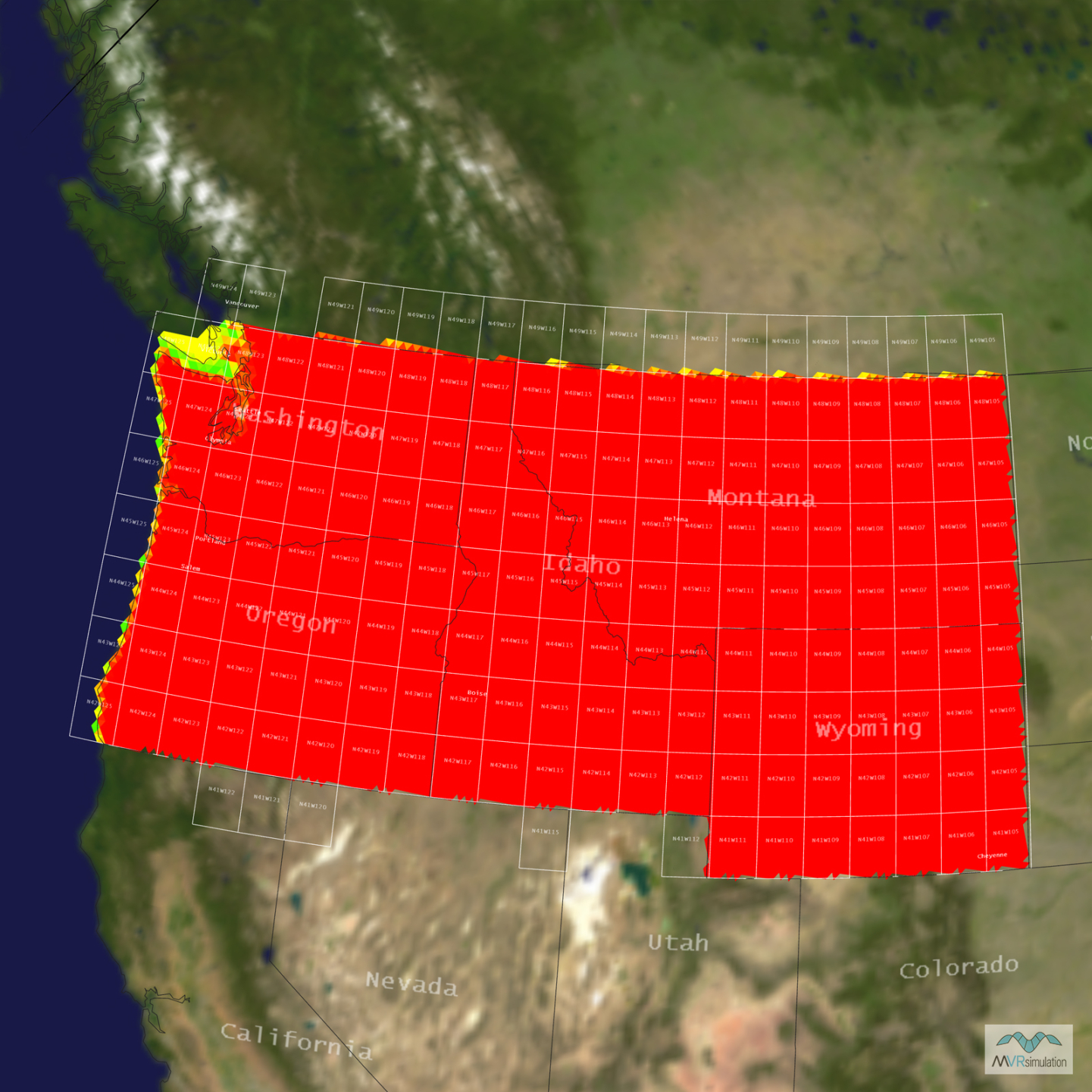
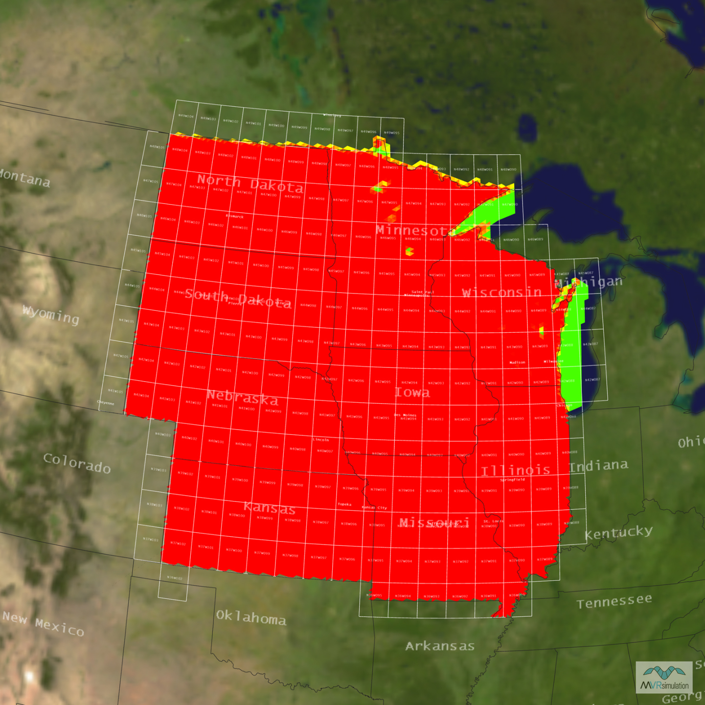
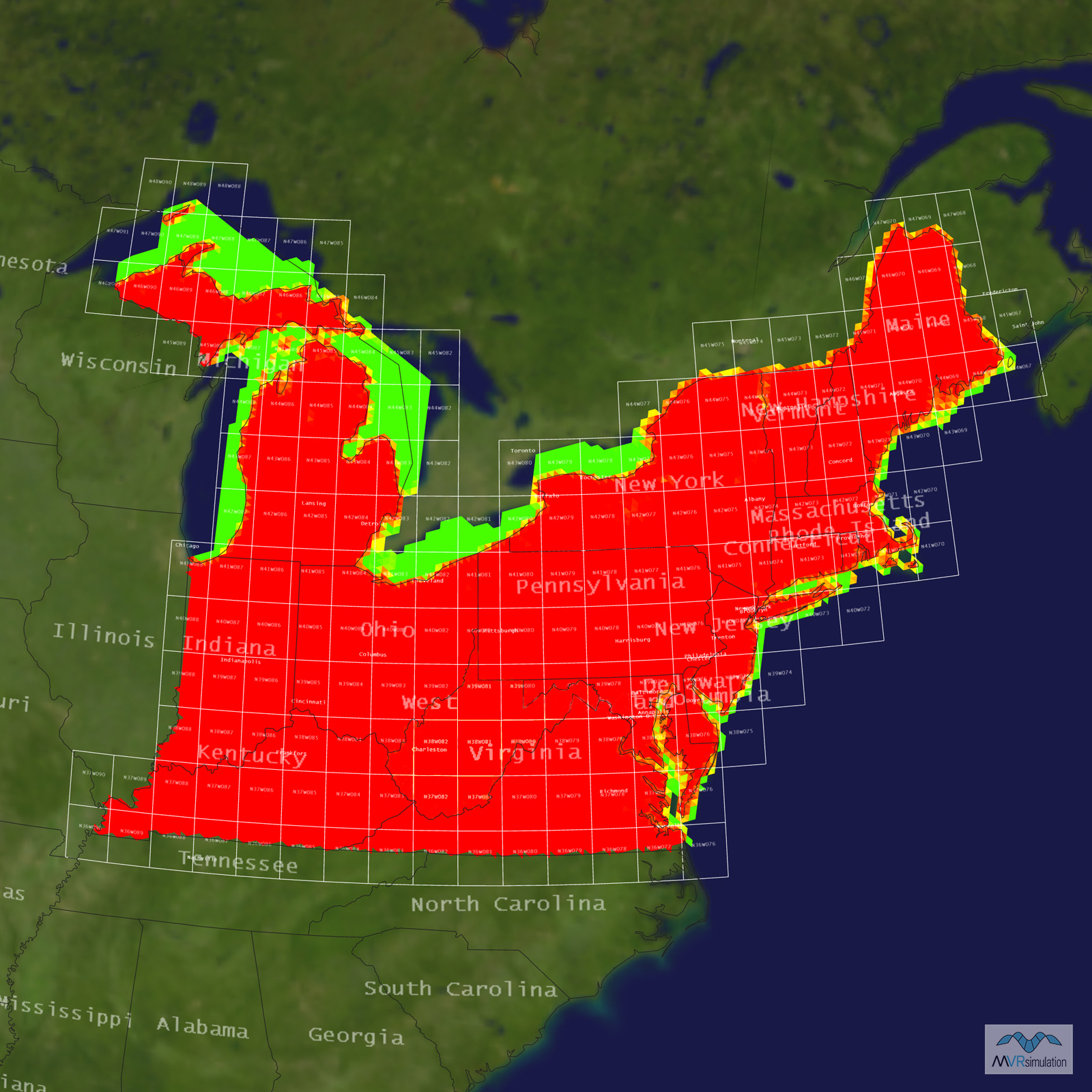
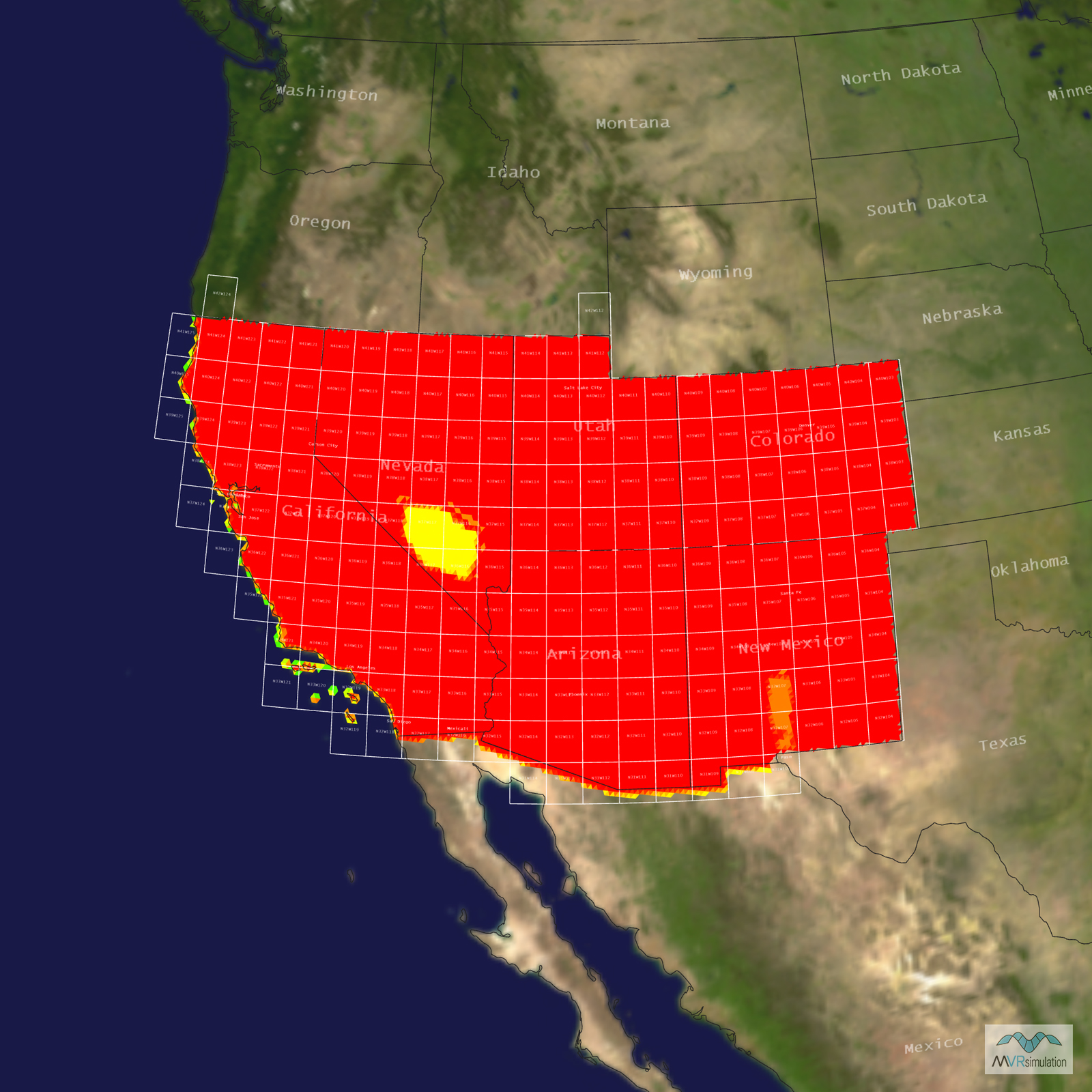
MVRsimulation offers the following 3D terrain datasets in round-earth VRSG terrain format on their own hard drives:

Terrain of the entire world can be obtained by purchasing:

  • All world region terrain drives plus all regions of CONUS++ terrain. 
  • All world terrain (including CONUS++) delivered on a direct-attached, large-volume (DALV) storage device compatible with laptop/notebook and desktop computer configurations requiring USB 3.1.

All terrain datasets contain high-resolution insets of many areas of interest (AOI). You can add culture assets from MVRsimulation’s extensive 3D model libraries, your own models, or models extruded and textured with Esri CityEngine using MVRsimulation’s Scenario Editor.

Terrain datasets are delivered upon request (to qualified customers as described below), at no cost beyond a fee for the hard drive distribution media and a nominal fee for processing large quantities of data.

If you are already a MVRsimulation customer with a VRSG license under active maintenance, you can order one or more 3D terrain datasets with a point release update of VRSG directly from MVRsimulation.

A 3D terrain dataset can also be purchased in OpenFlight format with various license schemes, should you require the terrain for an alternative visual system or simply need the ability to edit the terrain for your use with MVRsimulation software.

All MVRsimulation 3D terrain described on this page is available, upon request, to customers who are on active VRSG software maintenance and are US Government or NATO agencies or contractors (for official use only). 

All 3D terrain requires the latest release of VRSG. The terrain is provided in MVRsimulation's round-earth VRSG terrain format and will only run with a valid VRSG software license. All the 3D terrain sets were developed with MVRsimulation internal funding and are not part of any government program that grants general access to the terrain databases in any other format.

  • Terrain products from the Simulator Database Facility (SDBF) at Kirtland Air Force Base. SDBF is a central repository and distribution point of terrain databases (including MVRsimulation's terrain) that are available for DOD programs.
  • Terrain products from the Air National Guard Visual Database Development Team. This team produces high fidelity and fully immersive visual databases to support multiple Air National Guard training devices. These databases are in MVRsimulation's round-earth terrain format to provide out-the-window VRSG views in both ground based and flight training devices.

MVRsimulation's 3D terrain is "Additional Materials" and is provided "as is" as described in our software license agreement.  Although MVRsimulation might modify or enhance the original source imagery, some visual artifacts from the source imagery might remain in the terrain tiles.