
Creating Amarillo Airport with Sub-Inch Imagery
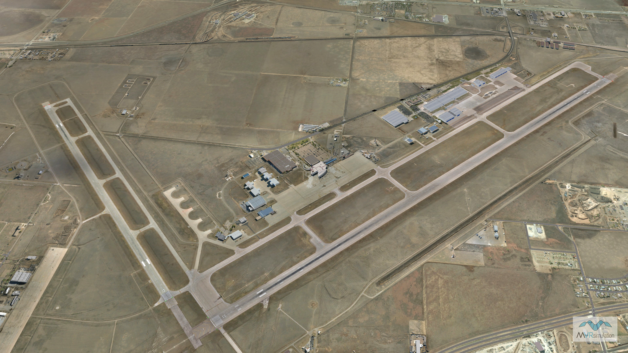
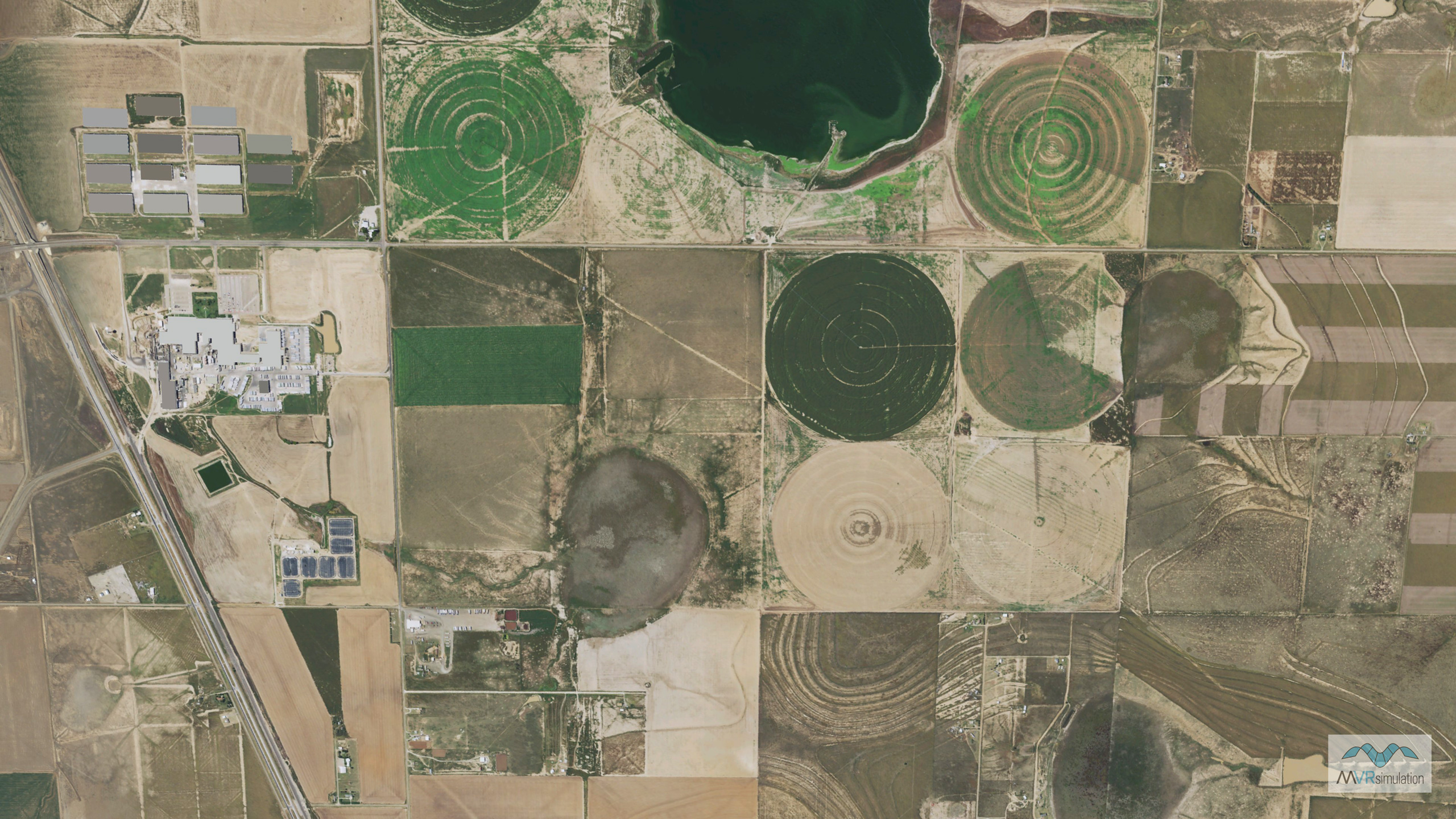
MVRsimulation has built high-resolution geospecific 3D terrain of Rick Husband Amarillo International Airport (KAMA), and the city of Amarillo, TX. The terrain is comprised of 5 mm per-pixel and 2 cm drone imagery of the airport (14 sq km), 30 cm Maxar imagery of the airport, and 30 cm Texas Open Data (TRNIS) imagery of the Amarillo metropolitan area blended to 1m NAIP base imagery of CONUS++ terrain. The elevation source includes 70 meter elevation data of the airport blended to 10 meter NED data of Amarillo and underlying DTED-1 base elevation.
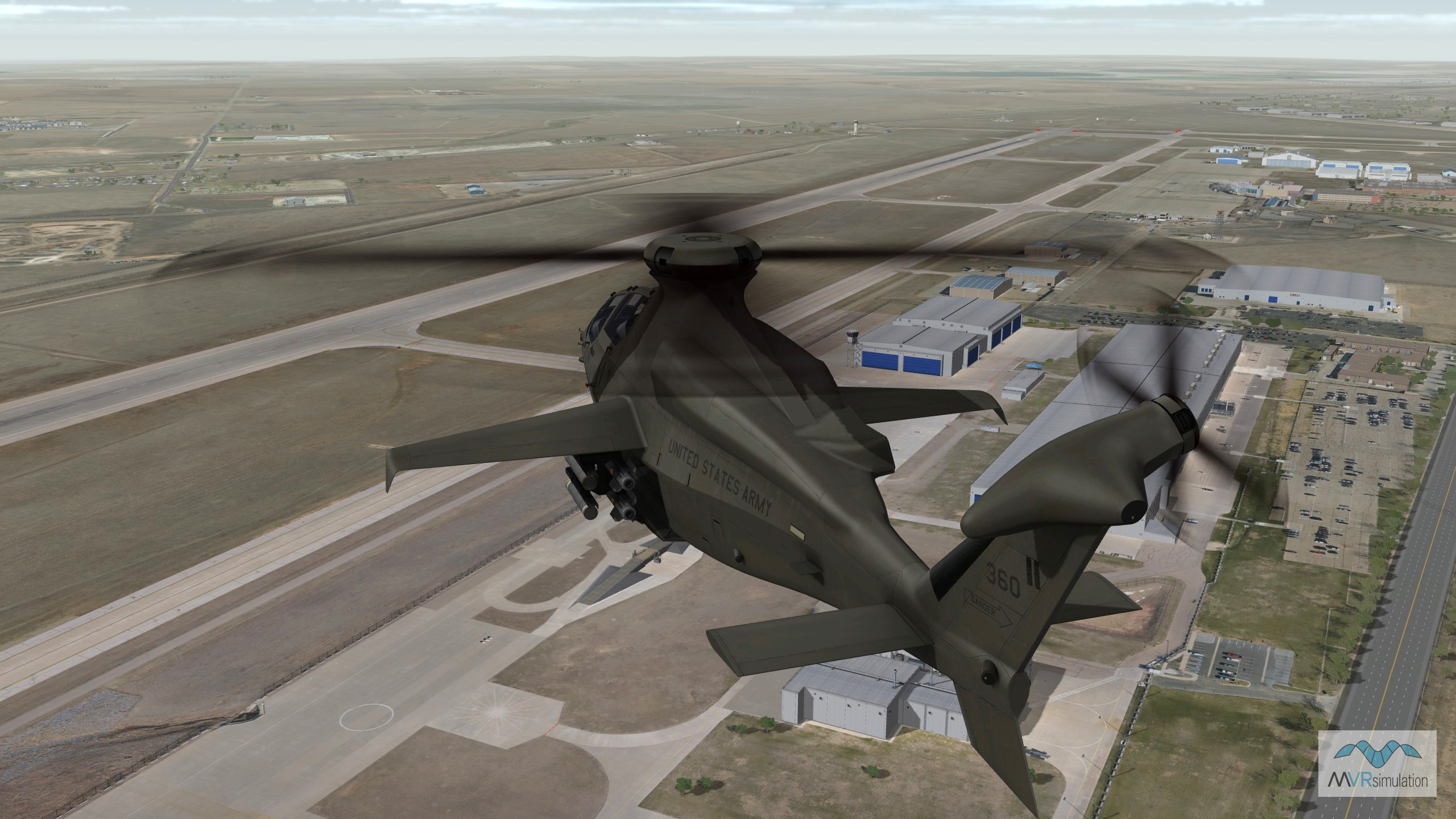
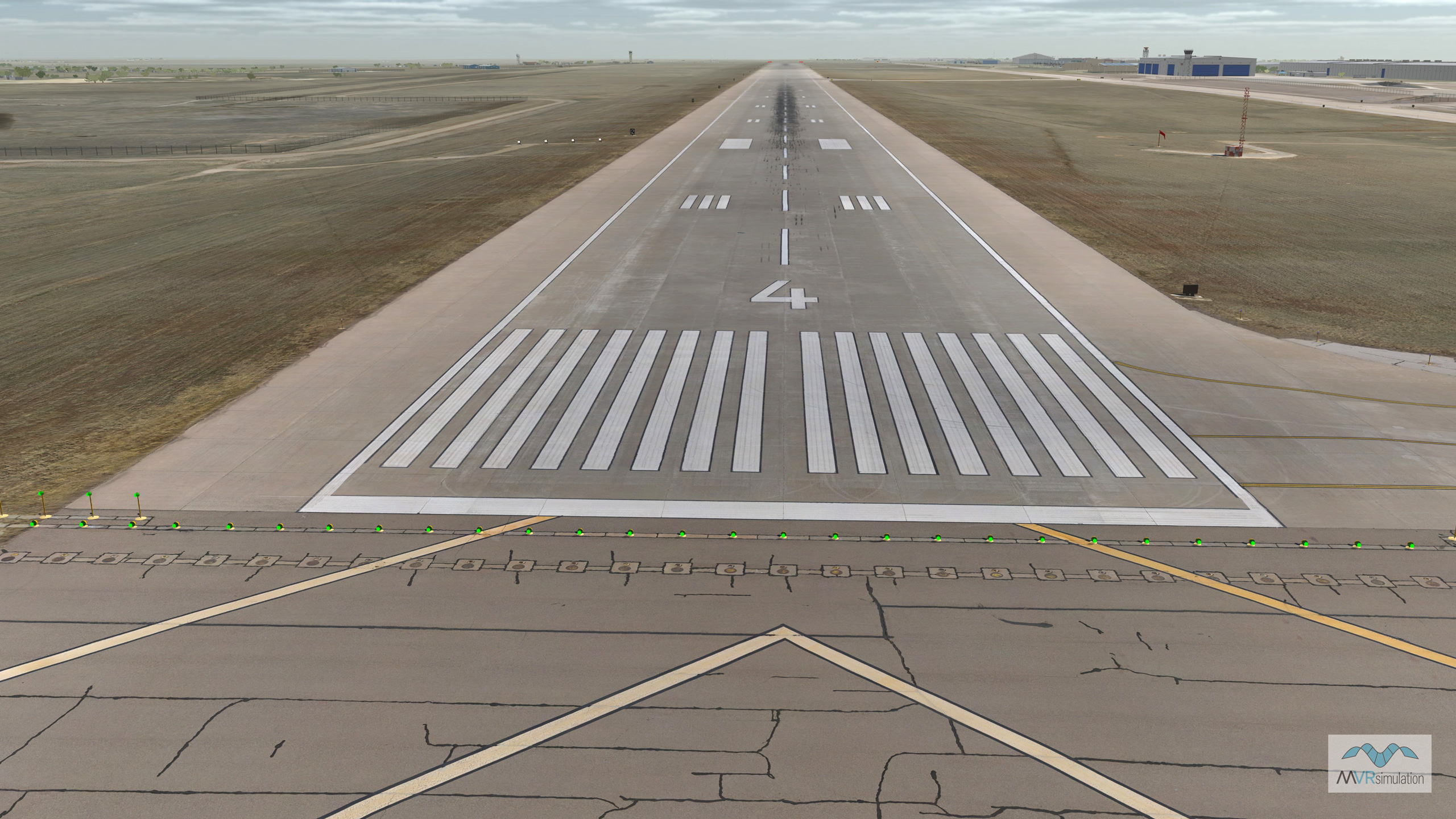
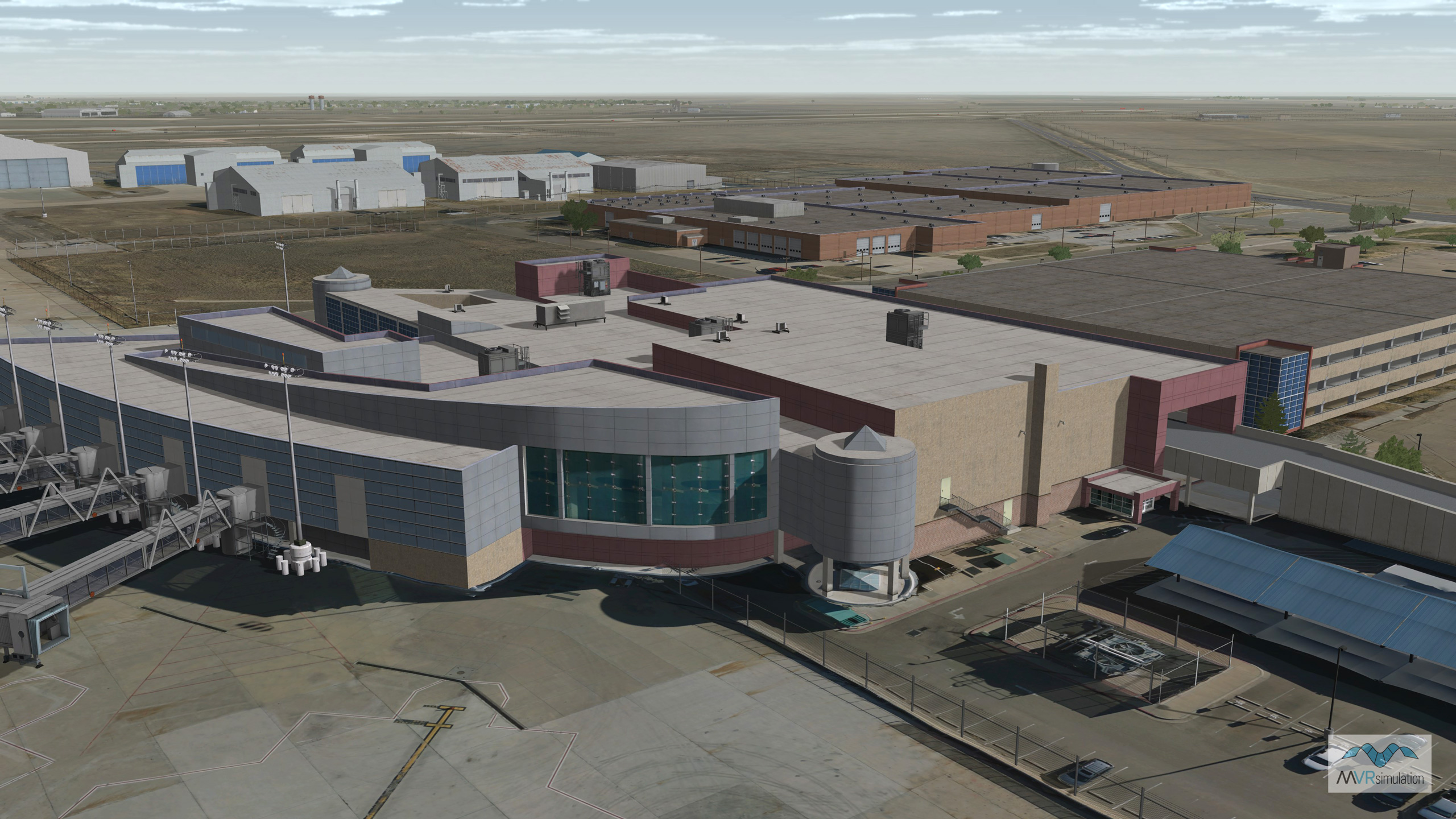
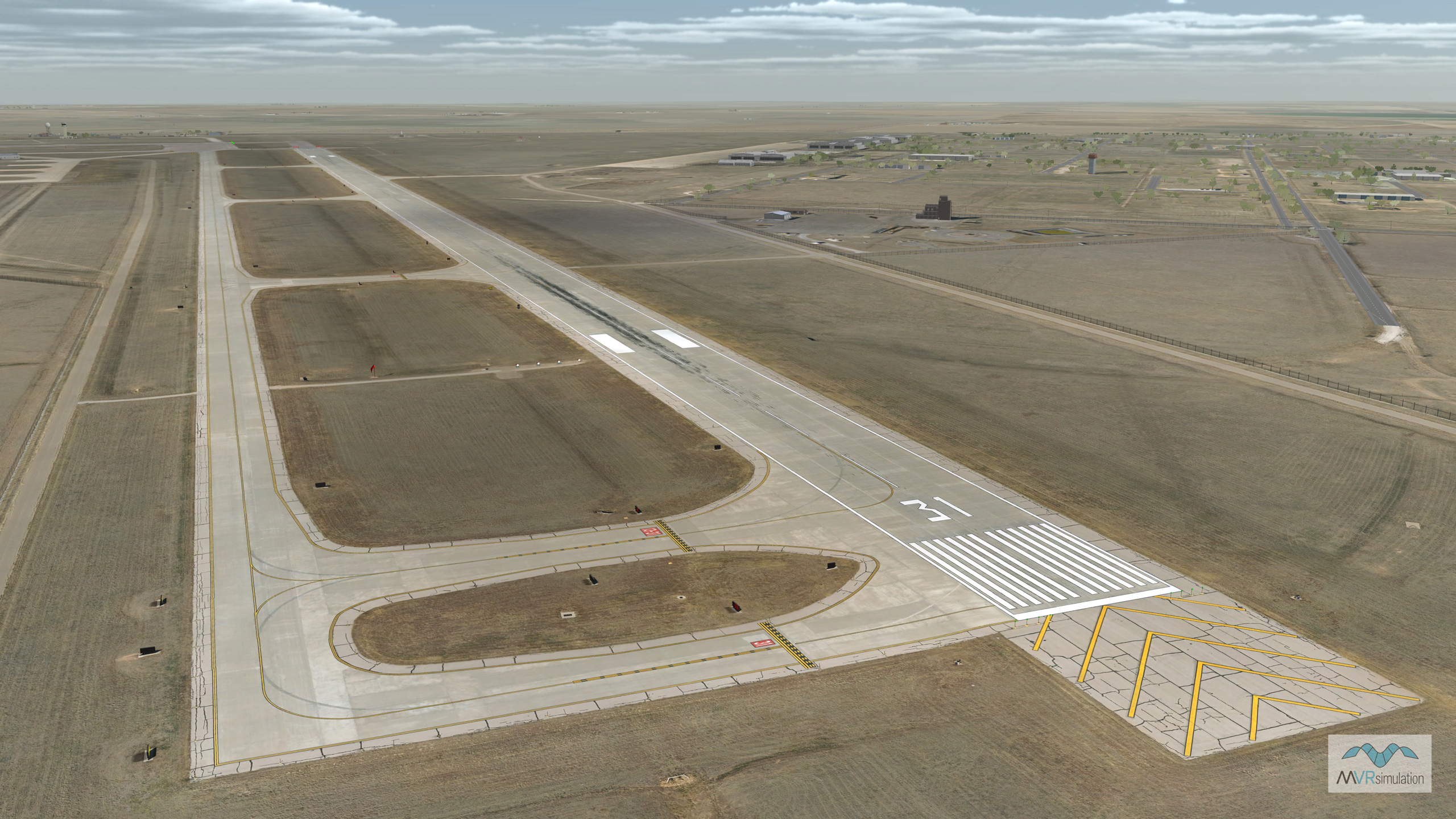
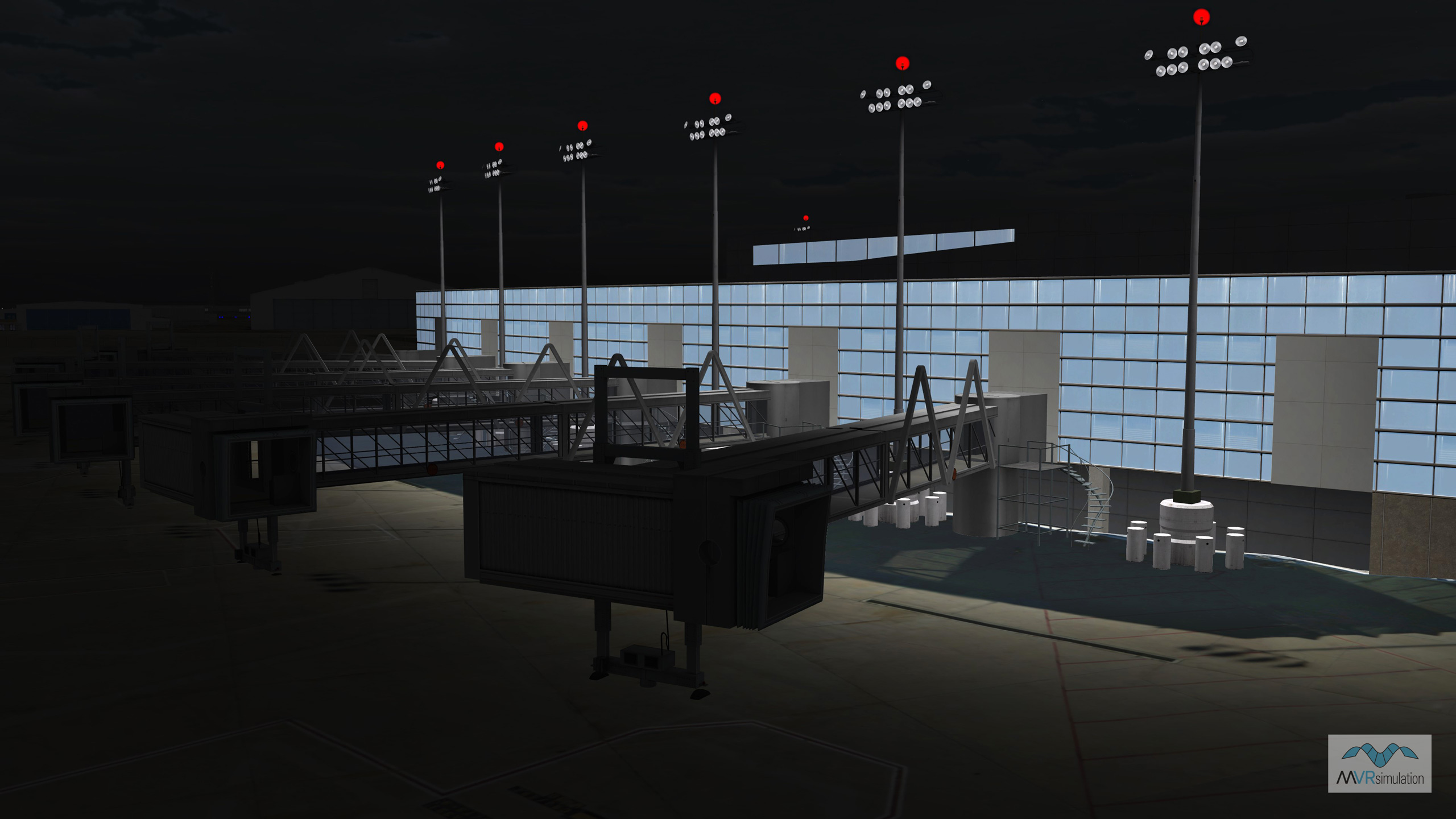
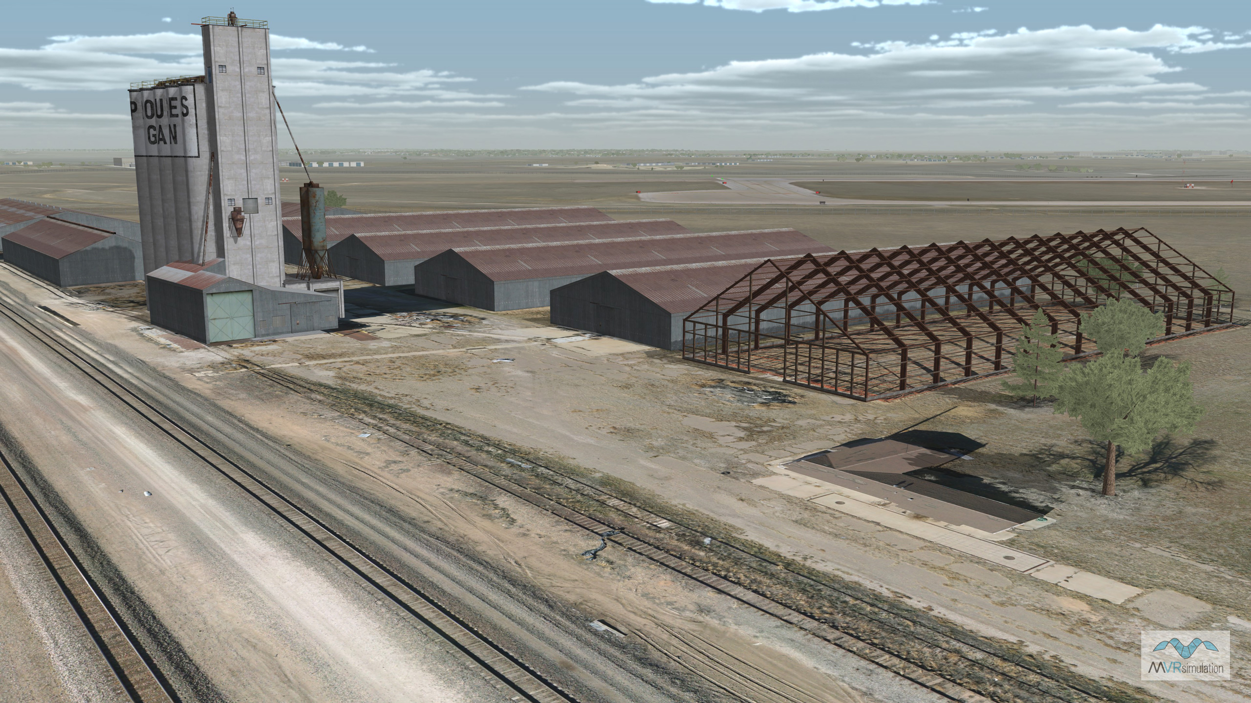
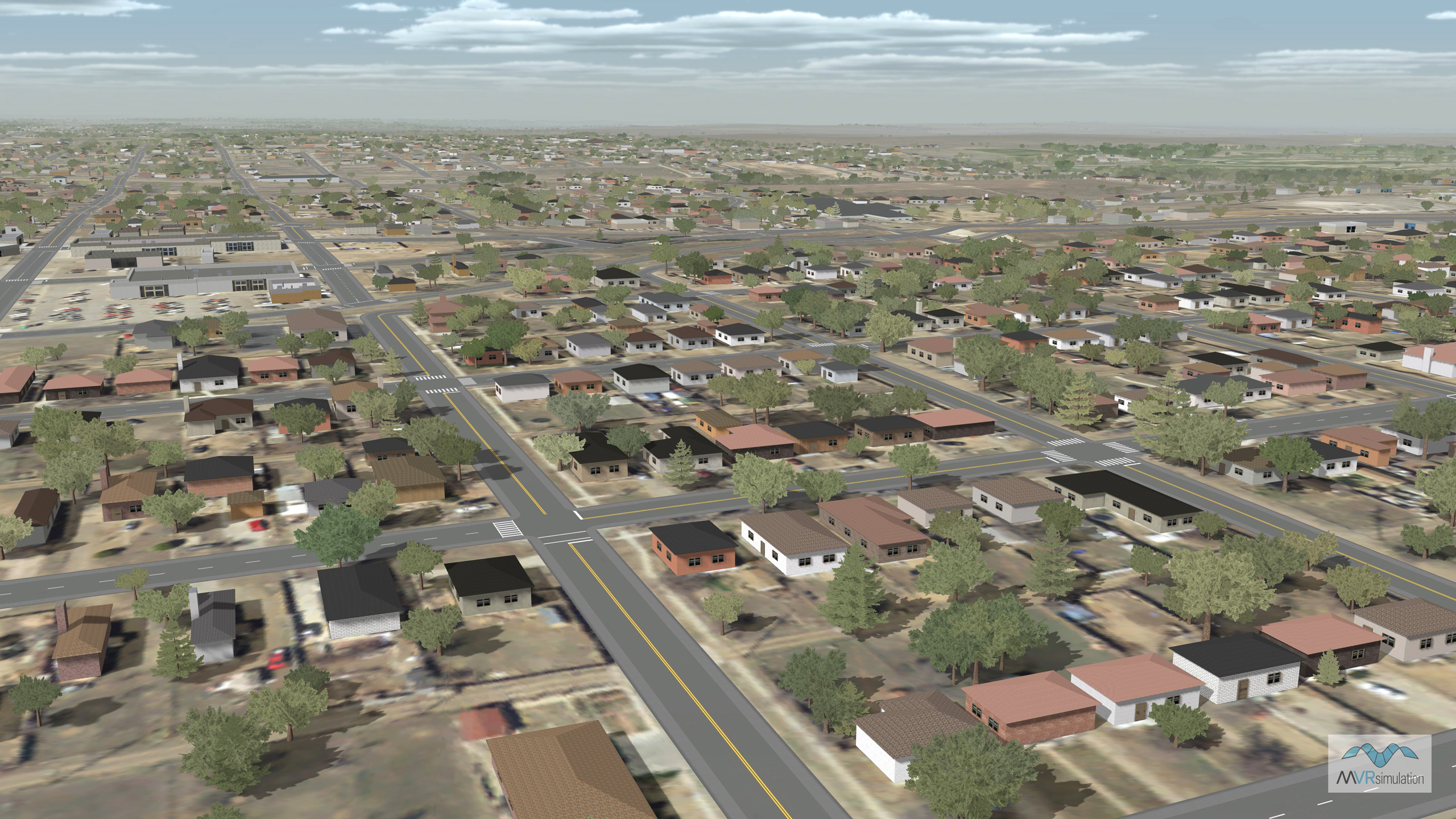
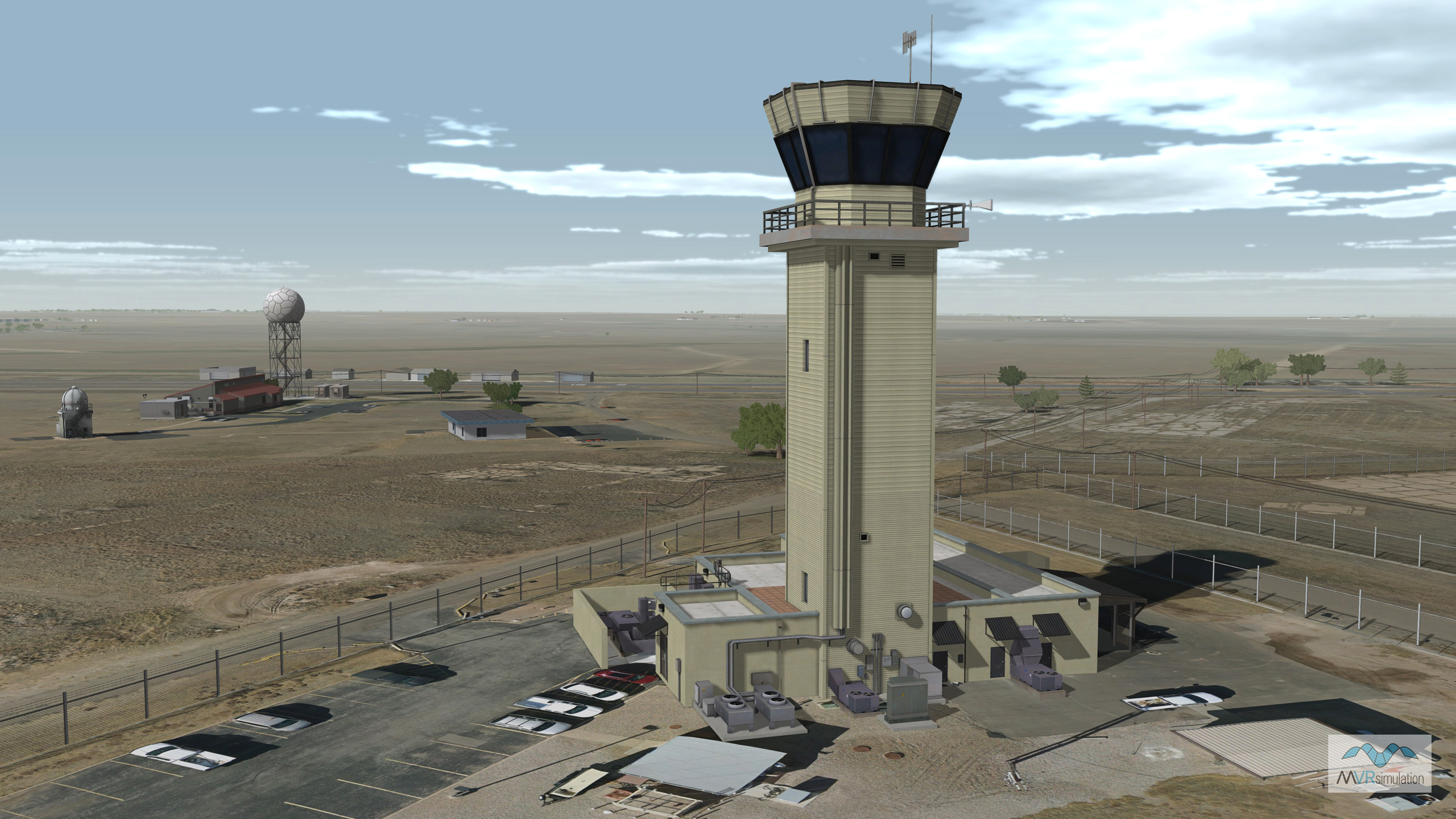
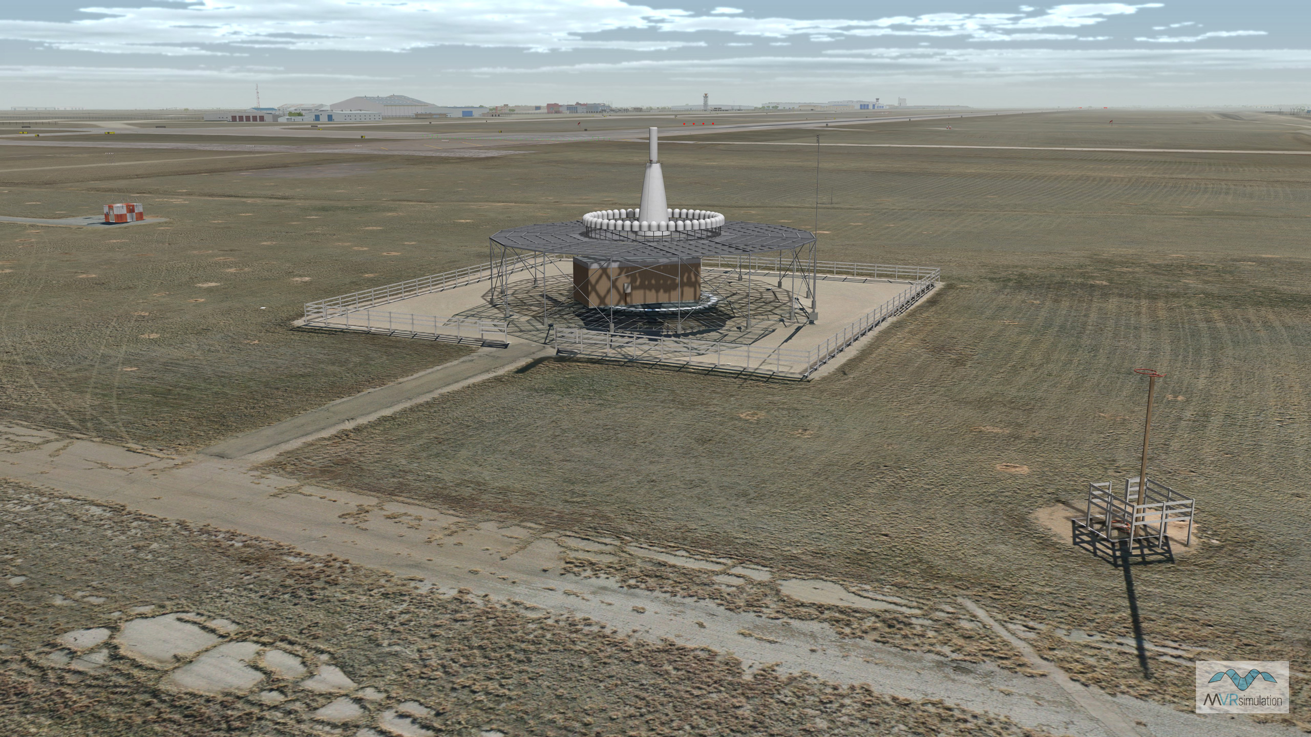
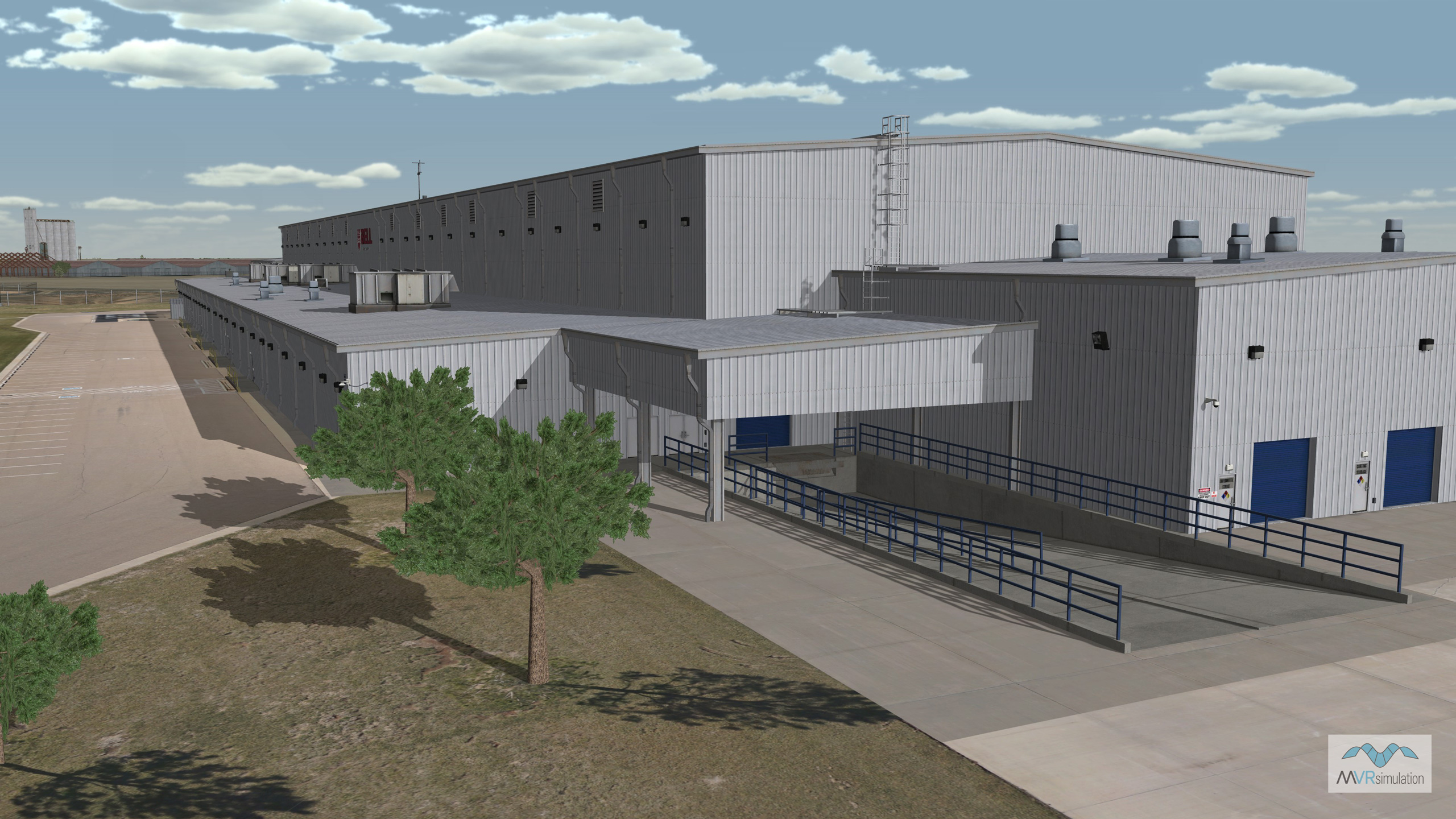
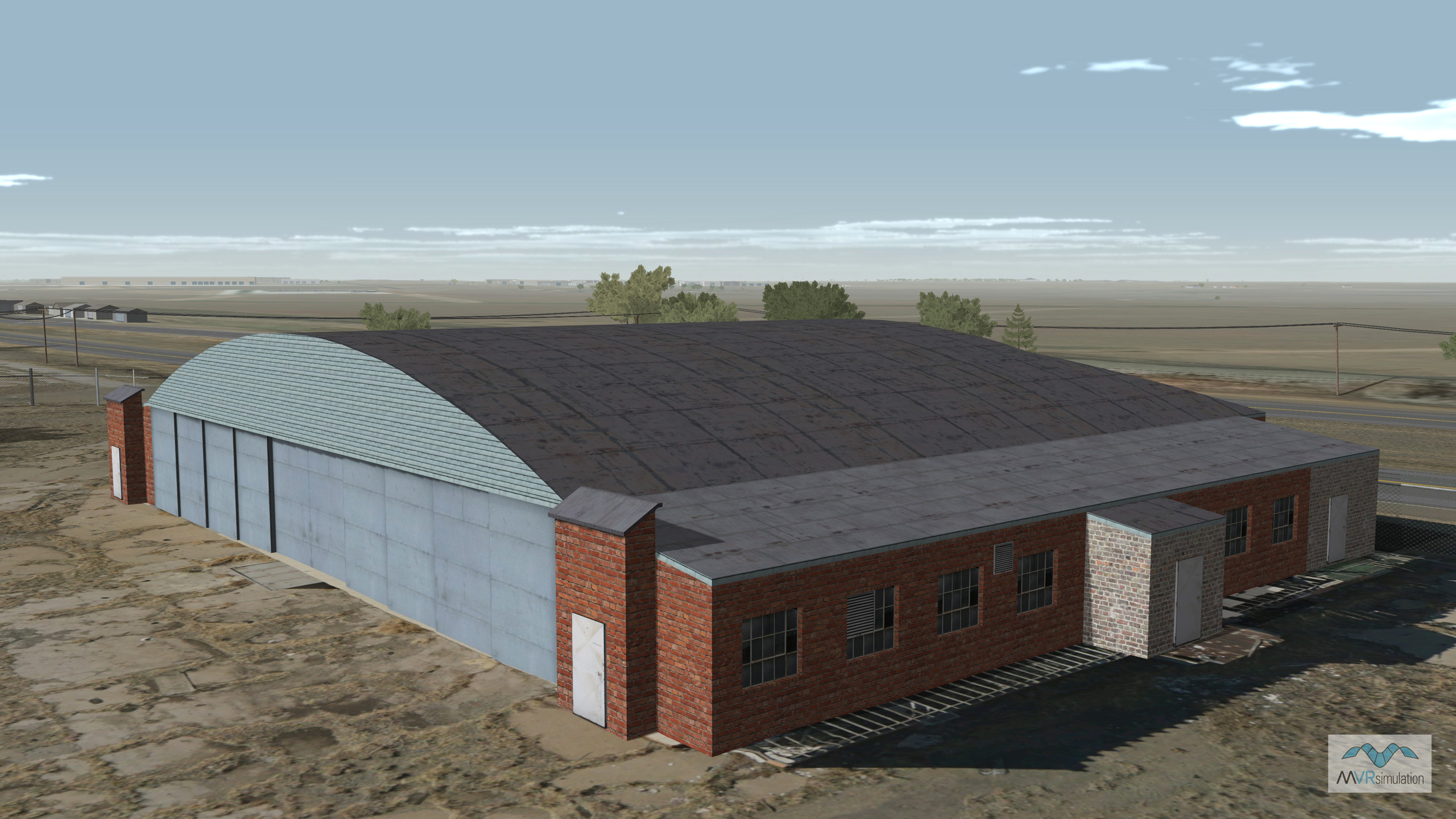
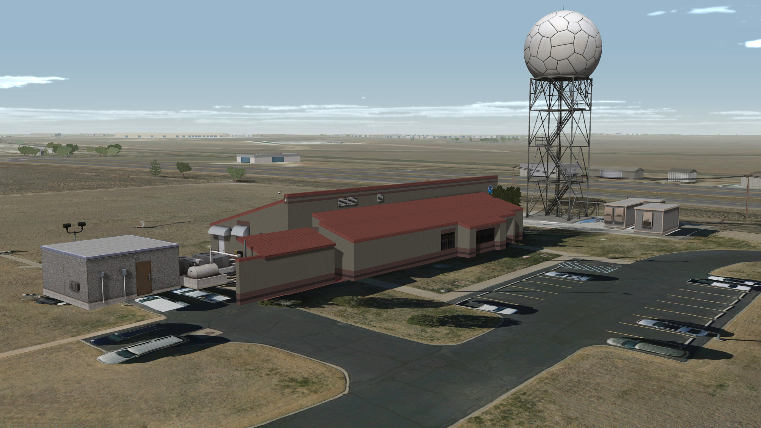
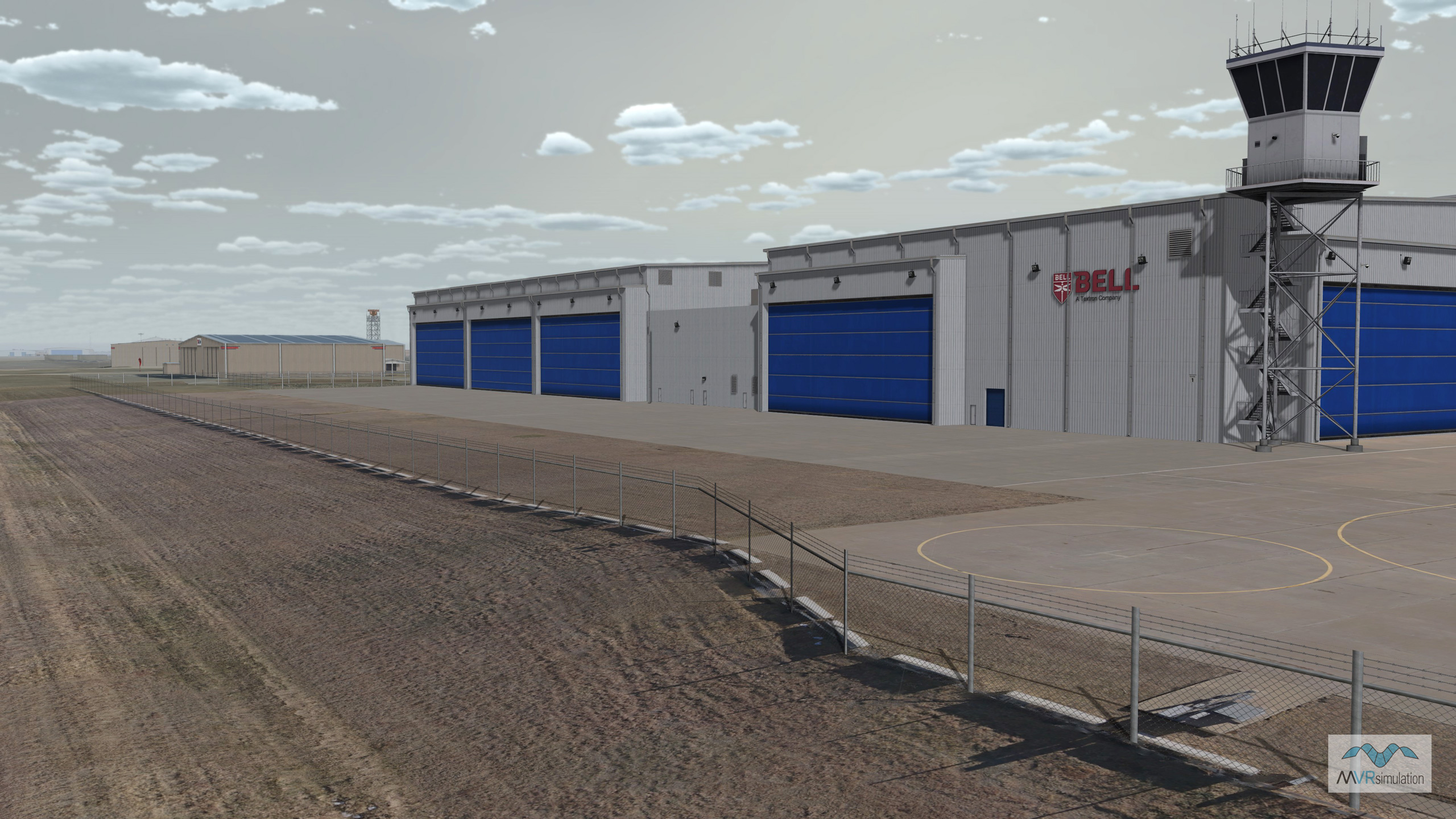
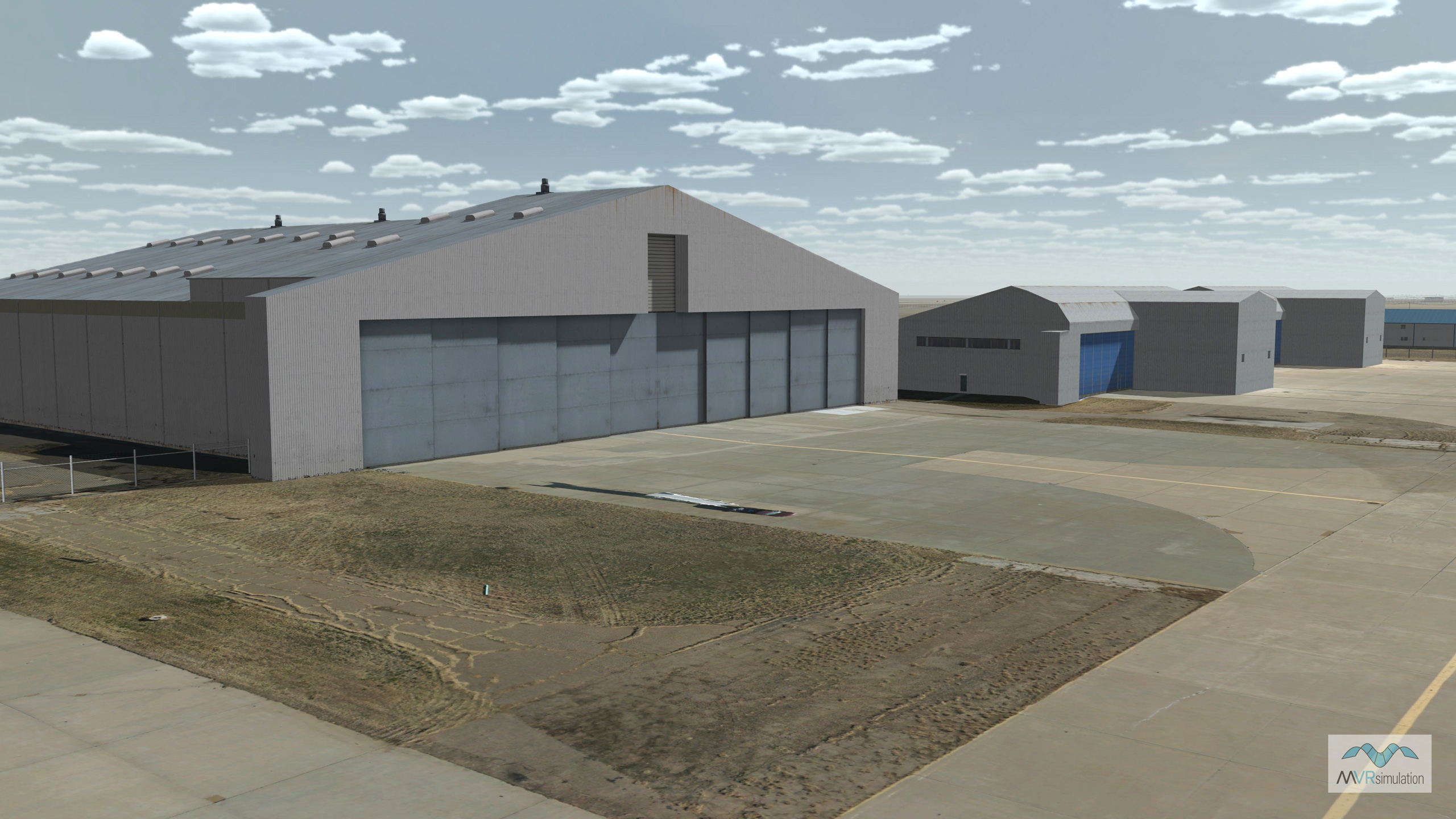
This terrain, built with the latest version of Terrain Tools for Esri® ArcGIS®, contains a substantial number of 3D culture models of the airport, such as two geospecific runways, helipads, runway lights, runway signs, a control tower and multiple hangars, and CityEngine-generated 3D culture of Amarillo. The terrain was compiled in our round-earth terrain format for rendering in VRSG®.
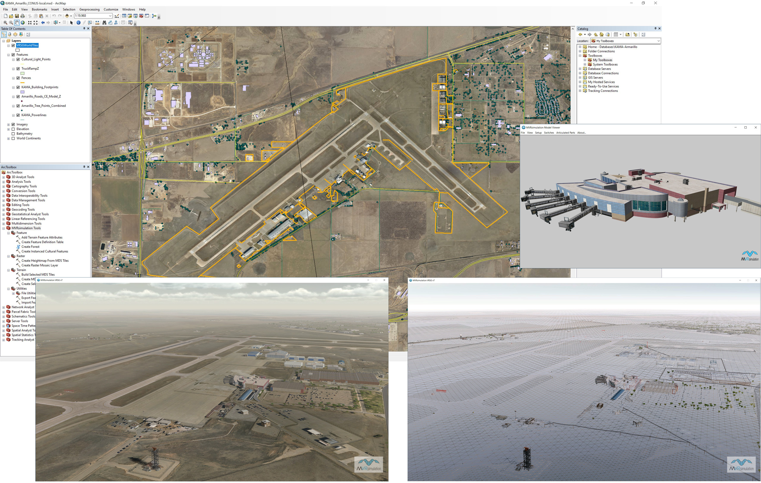
Composite of MVRsimulation's virtual Amarillo International Airport: 5 mm, 2 cm, and 30 cm imagery of the airport in Terrain Tools for ArcGIS, the resulting compiled 3D terrain of the airport rendered in VRSG (both textured and wireframe views), and one of the geospecific airport models displayed in Model Viewer.
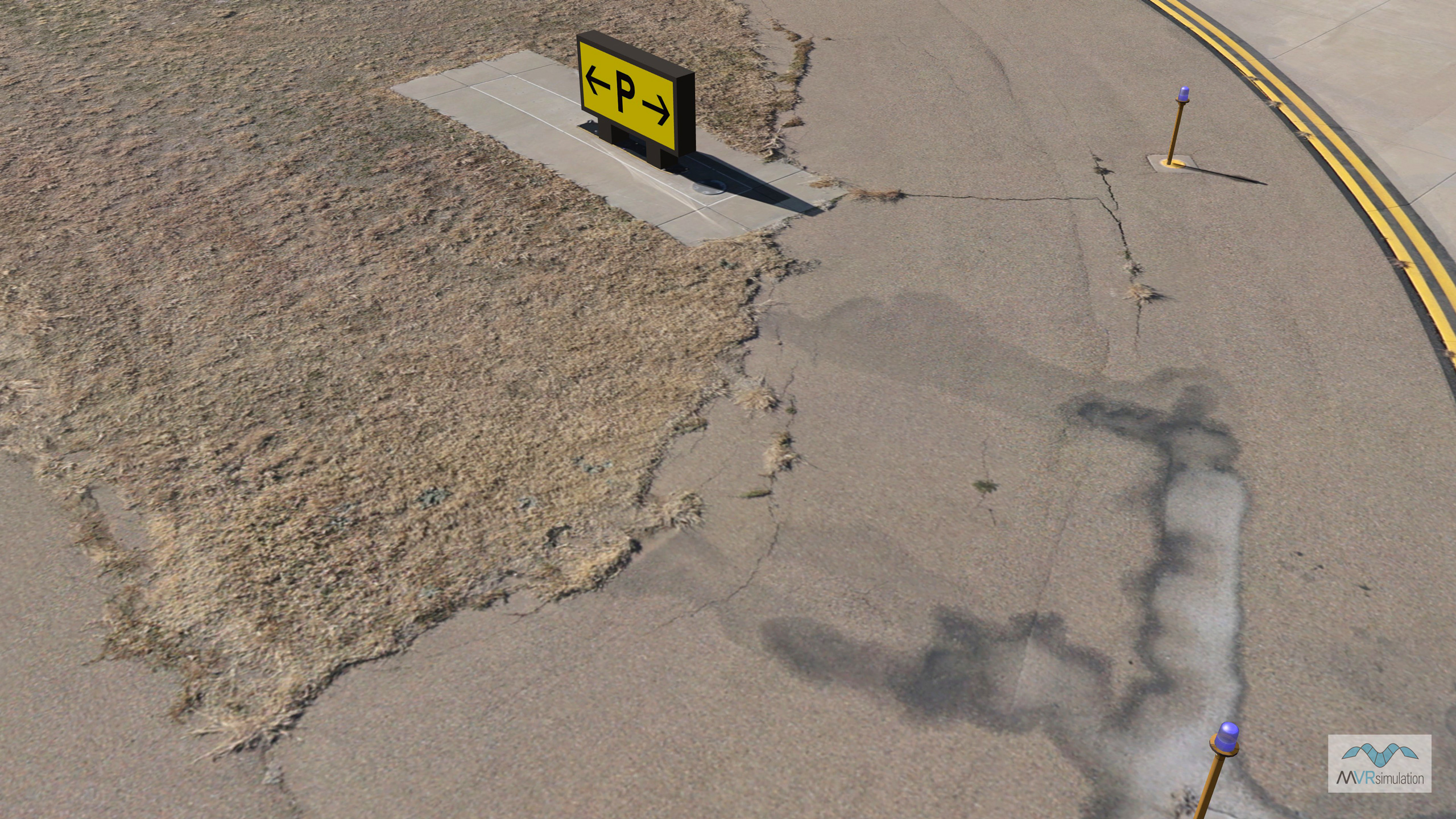
To collect the ultra-high-resolution imagery of the airport, SRP Aero, developer of small UAVs, flew MVRsimulation's small hybrid VTOL UAV and hand-launched Quadcopter. Over the course of eight days in December 2020, they captured 2 cm and 5 mm imagery respectively of the two runways, taxiway, tarmacs, control tower, terminal, fire station, hangars, and navigation elements. The still-frame images were subsequently orthorectified and used for building the 3D terrain. The terrain was compiled at full resolution; at this ultra-high resolution, details such as tire tracks and prairie dog holes are visible on the terrain. Content at this level of detail can be relevant for and specific to ground-level simulation.
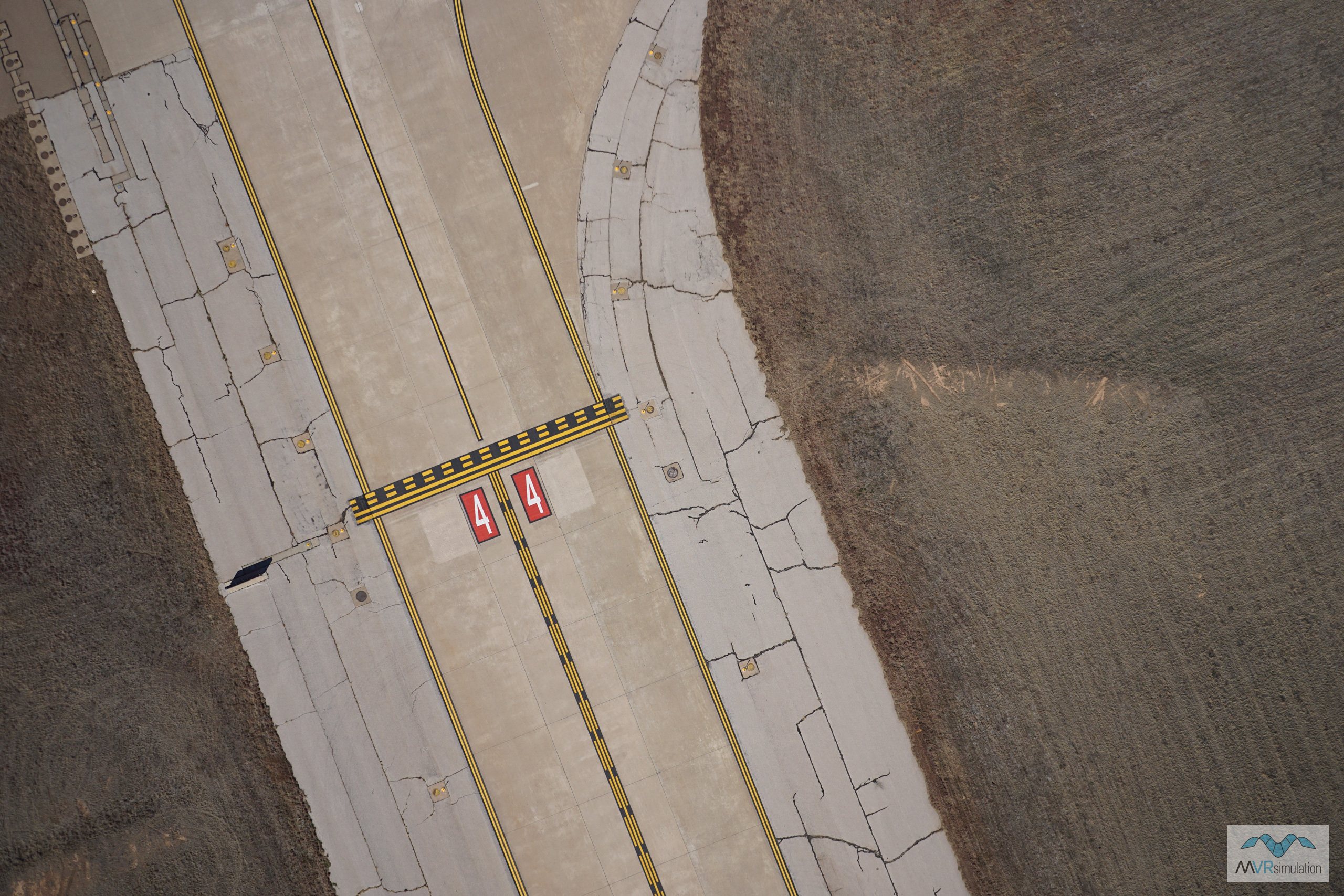
2 cm imagery of a taxiway. Click here to see the original 6000 x 4000 imagery.
5 mm imagery of the same taxiway. Click here to see the original 6000 x 4000 imagery.
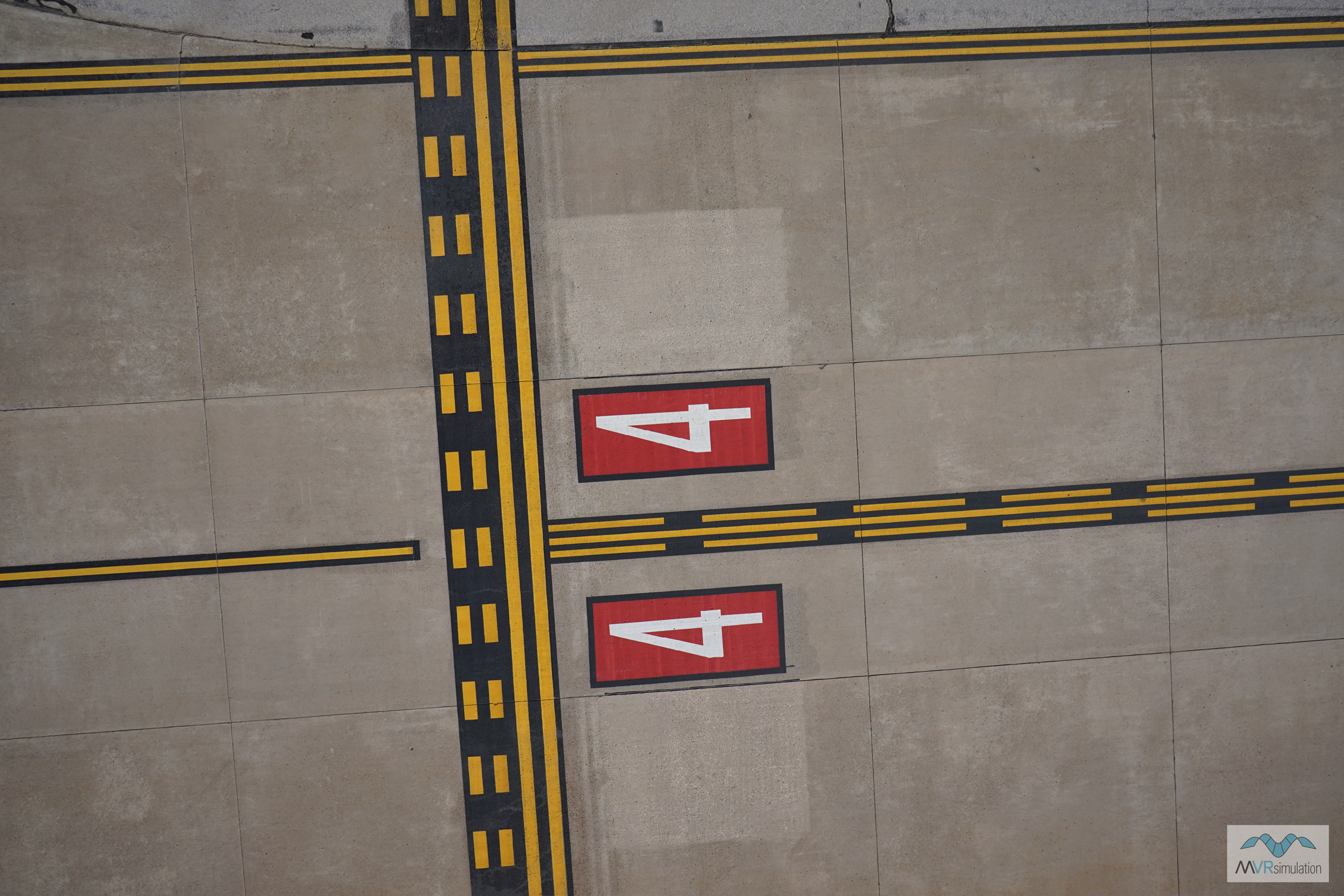
Geospecific 3D culture models, many of which were built with textures derived from the 5 mm and 2 cm imagery, include 85 airport buildings and other structures, 113 airport signs, and 18 runway lights. Other 3D cultural elements include:
- 69,708 Esri® CityEngine building models, populating Amarillo with residential, industrial, and commercial building types. Windows include emissive light textures for nighttime viewing. Building heights were derived from Lidar data.
- CityEngine roads of Amarillo, built as a model and compiled into the terrain tiles. Road coverage of major roads and residential streets includes lane lines, sidewalks, and crosswalks.
- 229,906 tree points (including height data) within Amarillo, derived from Lidar data. (Tree points were extracted from an LAS dataset with this tool.)
- 2D extruded fences with a wire fence texture surrounding the airport, and geolocated pole placement of powerlines models near the airport.
The Amarillo terrain dataset is available on MVRsimulation’s CONUS++ South Central region 3D terrain. The Amarillo terrain, in round-earth VRSG terrain format, is available for purchase by customers who are on active VRSG software maintenance and are US Government agencies or contractors (for official use only). The terrain can be viewed with a valid VRSG version 7.0 or greater software license with valid software maintenance.