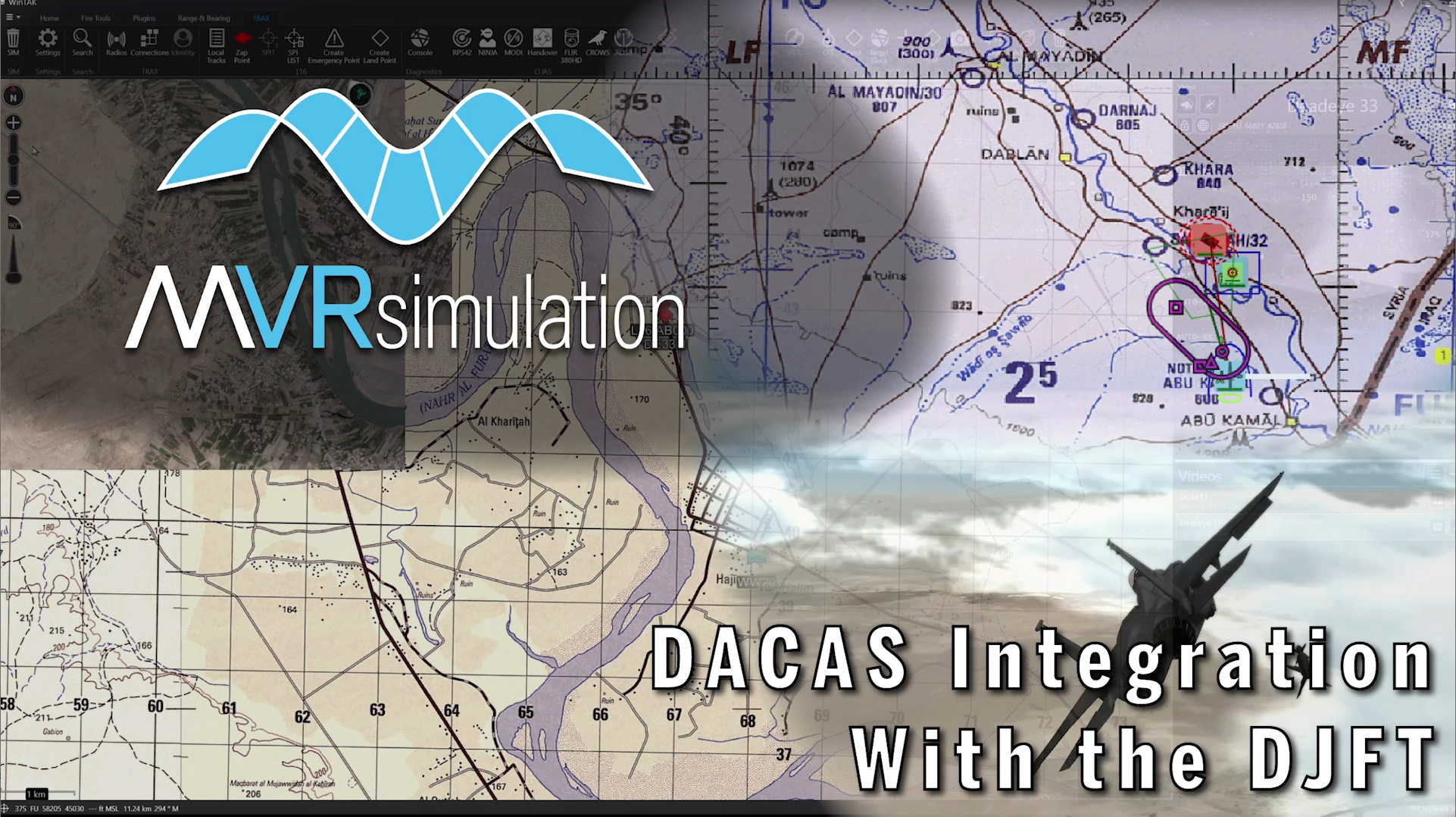
Digitally Aided Close Air Support
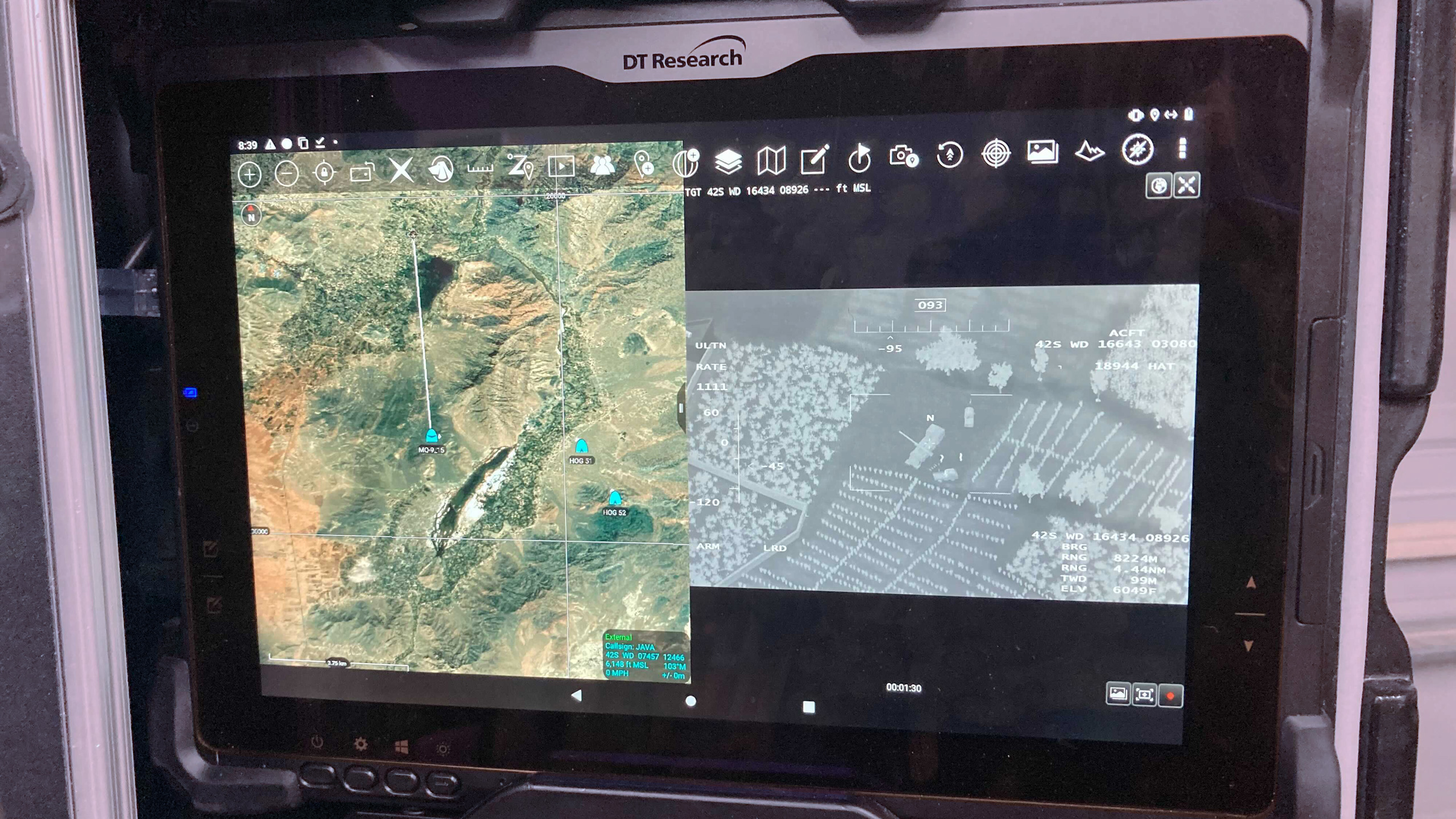
Android Tactical Assault Kit (ATAK) mapping/situational awareness app. On the left is the ATAK view, populated with a map and information from BSI MACE. On the right is MVRsimulation VRSG's simulated sensor feed.
MVRsimulation VRSG, coupled with Battlespace Simulations (BSI) MACE, can simulate Digitally Aided Close Air Support (DACAS) on a device running the government-off-the-shelf Android Team Awareness Kit (aka Android Tactical Assault Kit, or ATAK) mapping/situational awareness app.
For the ATAK map view (shown above on the left, with 2D map imagery) MACE provides cursor-on-target situational awareness data of aircraft positions, sensor points of interest (SPI), target locations, blue friendly locations, aircraft standard combat loads, as well as the cursor-on-target GPS feed of the JTAC's position.
ATAK has the ability to display a video datalink (VDL) from supporting aircraft. In the simulation environment, VRSG creates the 3D sensor view (depicted at right, simulating in this case an MQ-9 Reaper’s video feed). The sensor point of interest, MQ-9 track symbol, and sensor bearing line are drawn directly from the KLV metadata embedded in VRSG's video feed. Using MACE, VRSG, and ATAK, a JTAC can correlate a target position and task MACE-controlled aircraft with a 9-line target attack brief, expeditiously completing the kill chain.
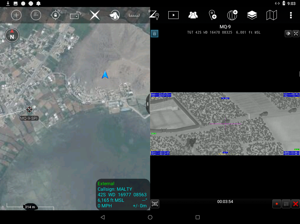
Left: ATAK 2D map view populated with BSI MACE's cursor-on-target situational awareness data. Right: MVRsimulation VRSG's sensor view simulating an MQ-9 Reaper’s video feed. (Image courtesy of BSI.)