Mischief Reef Terrain Database Information
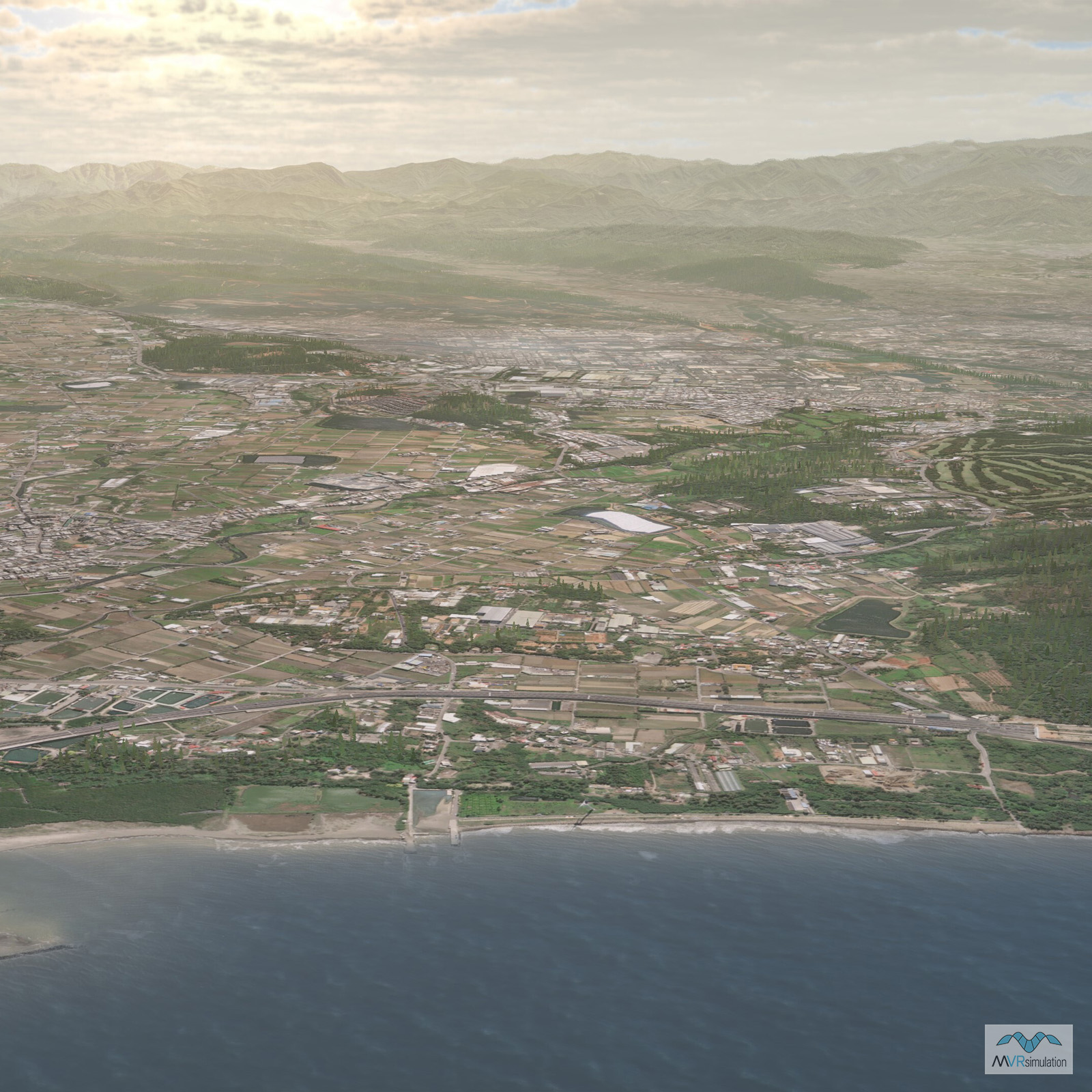
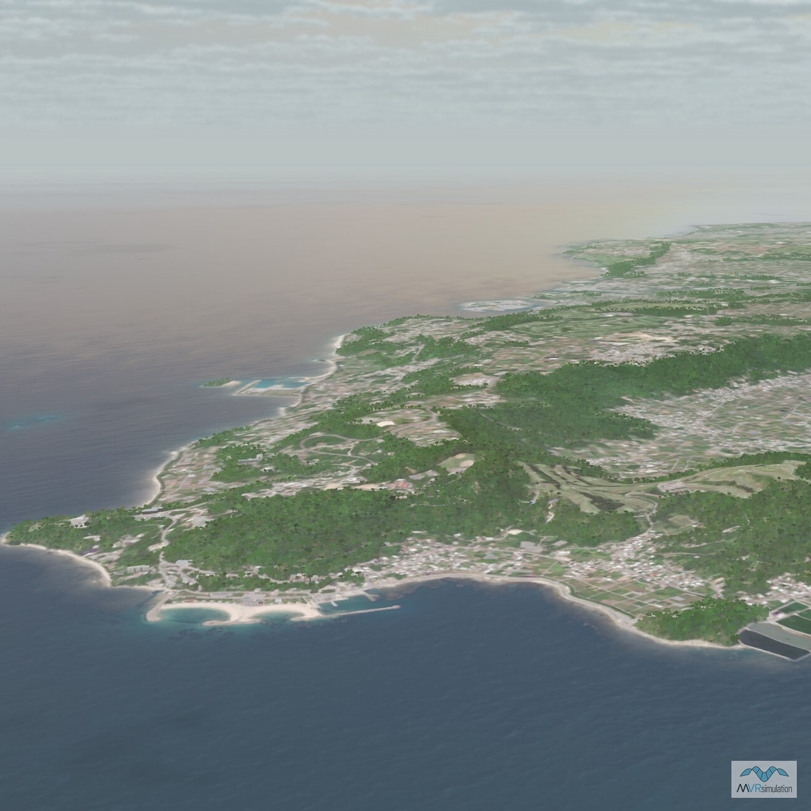
- Imagery: Due to the sensitivity of the occupied reefs in the South China Sea, this terrain was built without geographically specific imagery.
- Elevation: Custom Generated
- Terrain Drive: Asia & Middle East
- HQ-9 missile defense system
- Cultural Features: Apron or Ramp Areas, Control Tower, Custom Models (Geospecific Buildings), Hangars, Landscape Features (Shrubs, Grass, Paved Medians, etc.), Military Specific Elements (Shelters, Bunkers, Watchtowers, etc.), Port/Bathymetric Data, Roads, Runway, Runway Lights, Static Aircraft or Helicopters, Taxiways and Associated Markings, Trees, Vehicles (Trucks, Cars, Military Equipment, etc.), Water Features (Lakes, Rivers, etc), Water Tanks/Towers
- US Government or NATO agencies or contractors (for official use only)
Tile Coverage Map
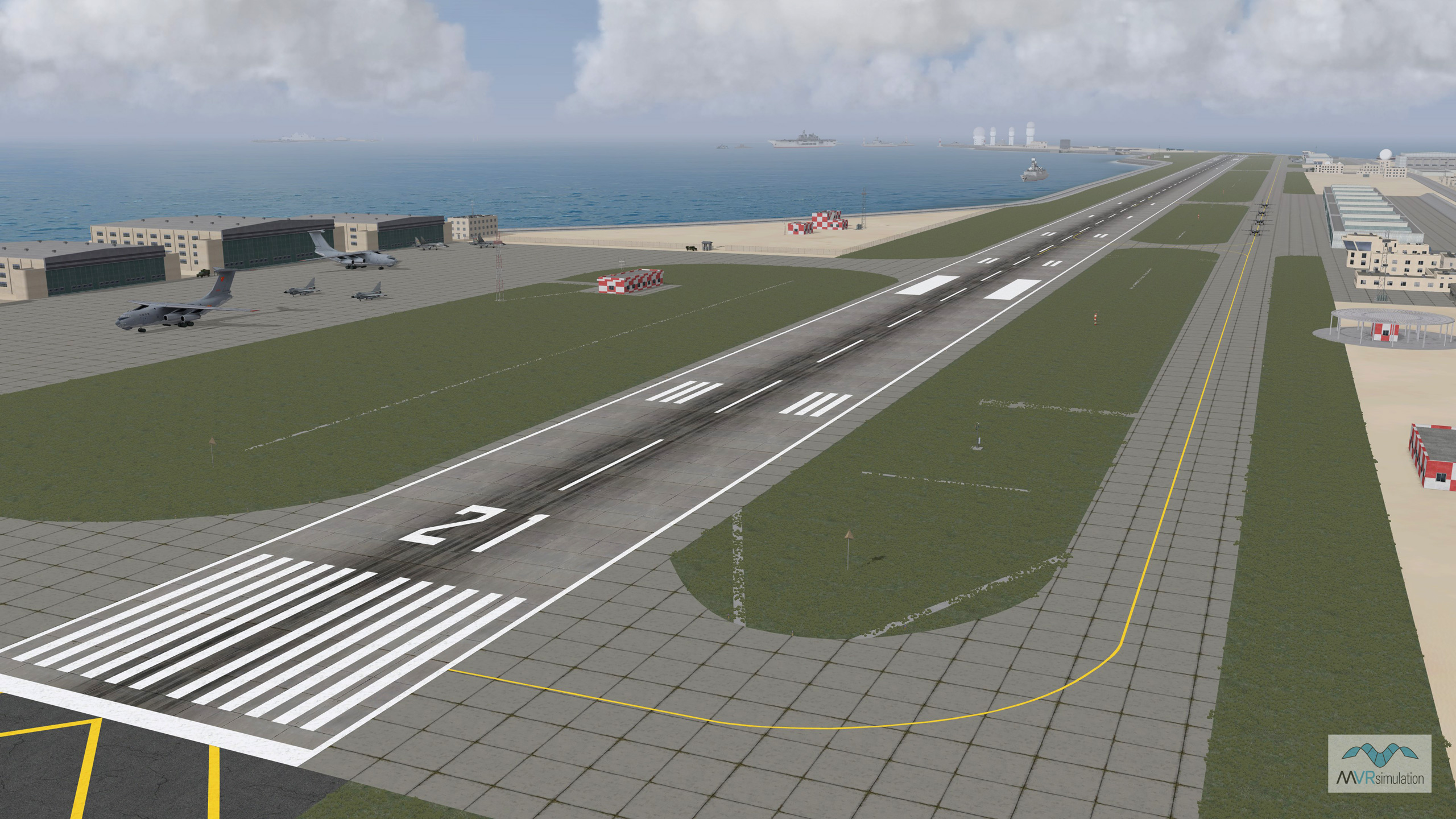
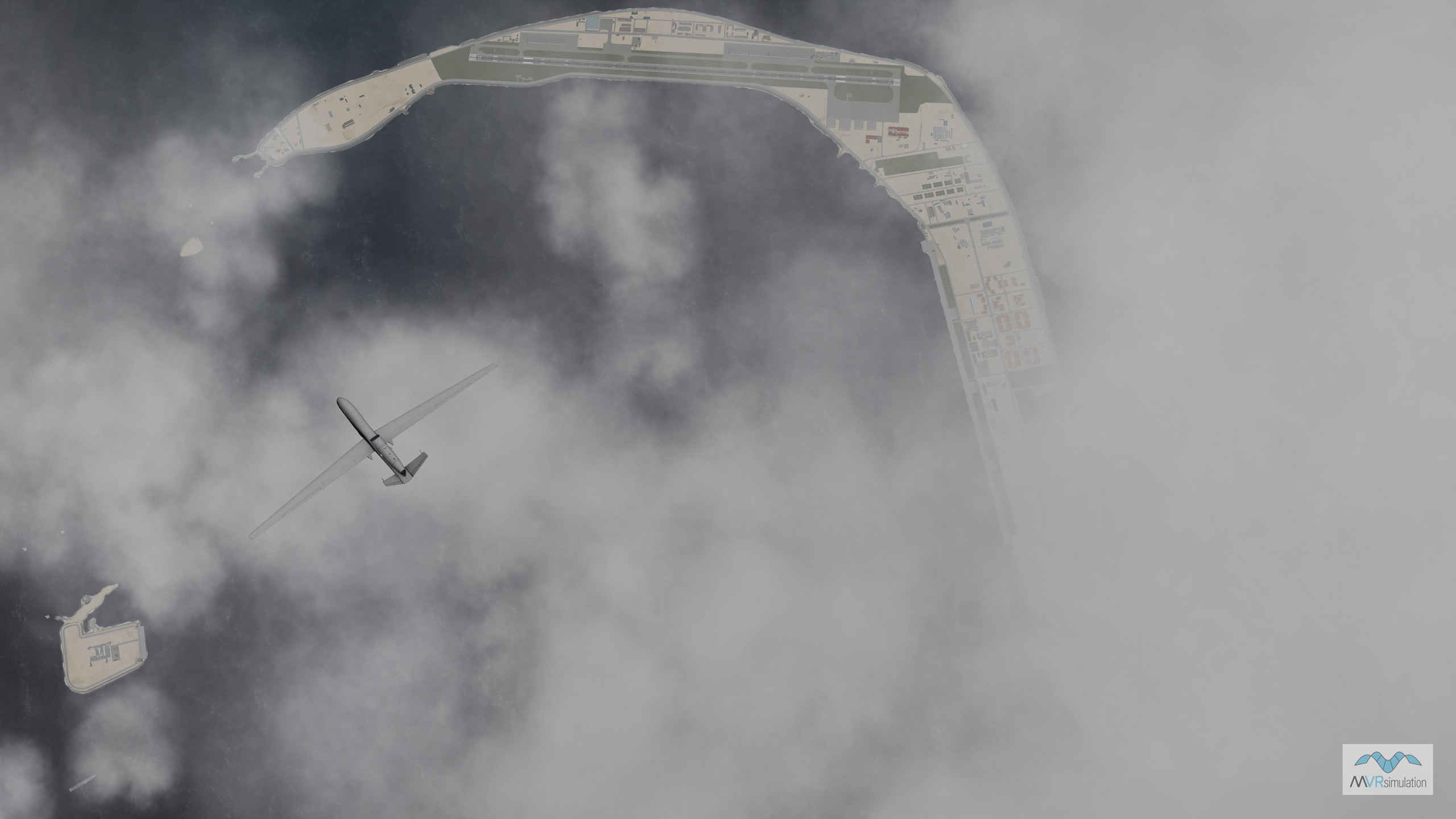
Mischief Reef airfield with typical static cultural models.
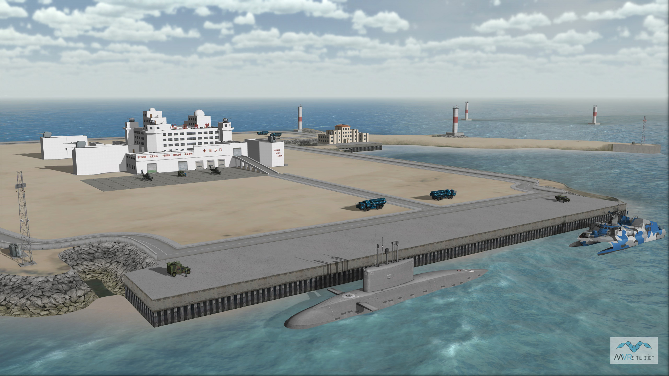
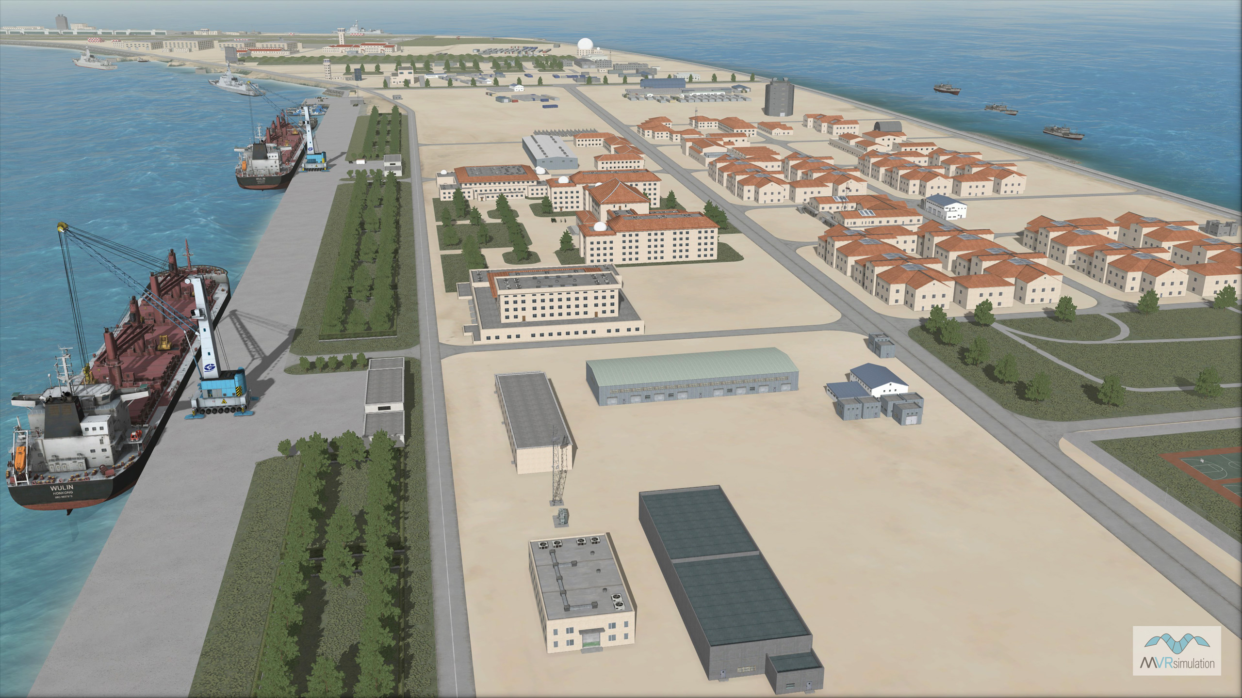
Port scene on Mischief Reef with custom building models and docked vessels.
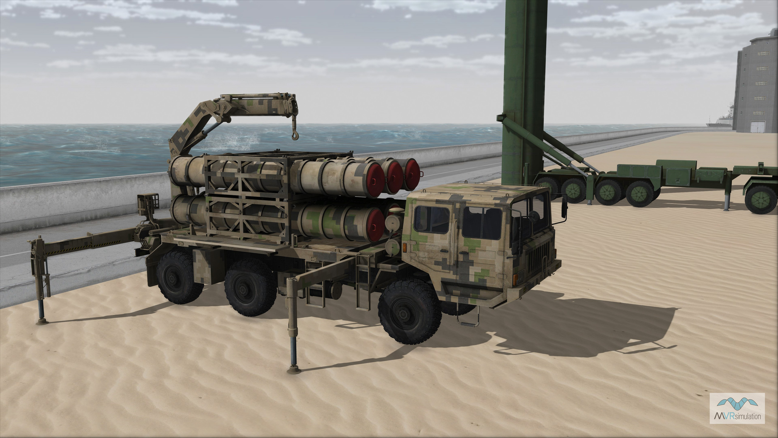
HQ-16 loader on Mischief Reef with launch vehicle.
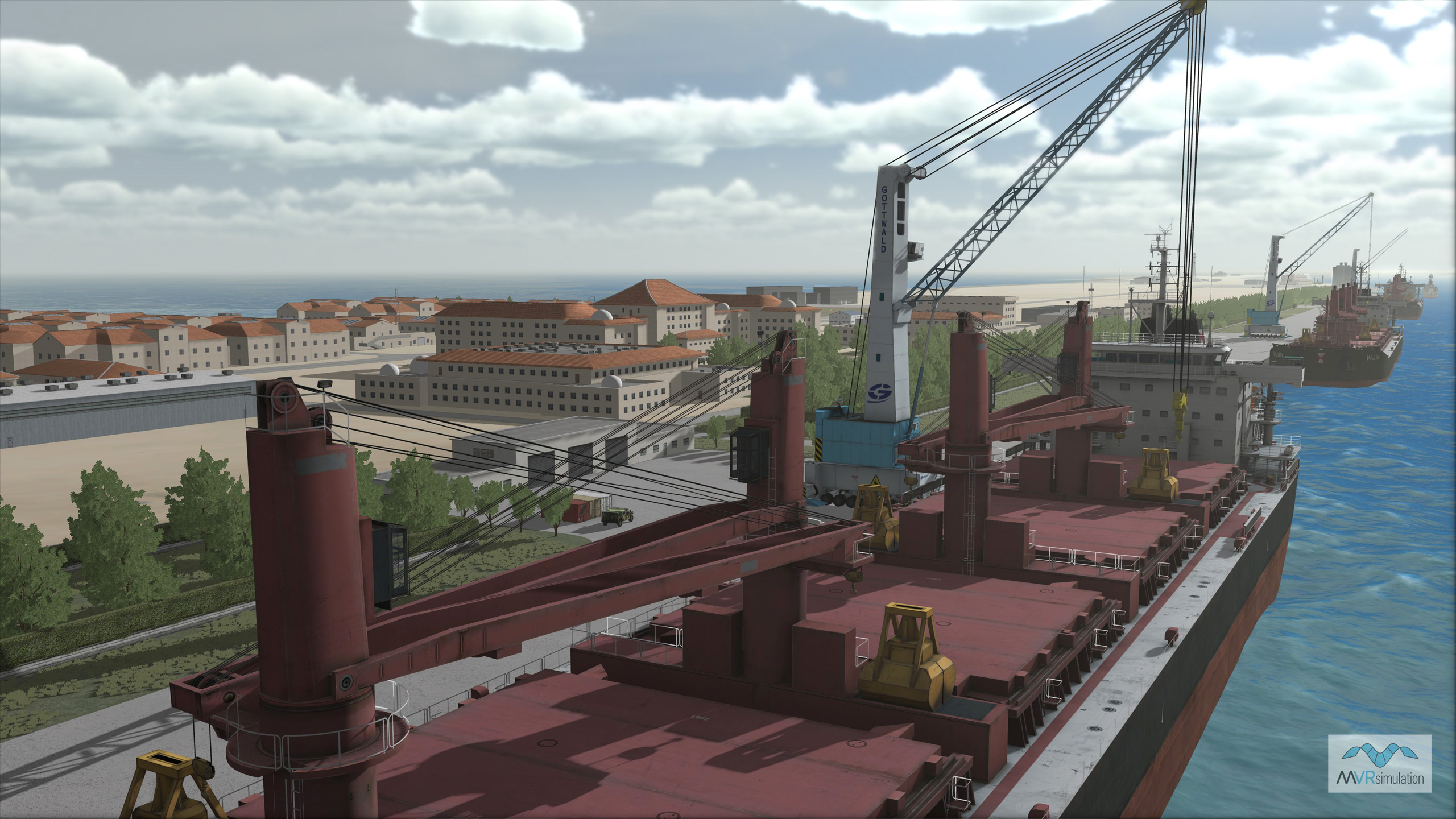
WULIN bulk carrier vessel docked in the foreground of the Mischief Reef Terrain database.
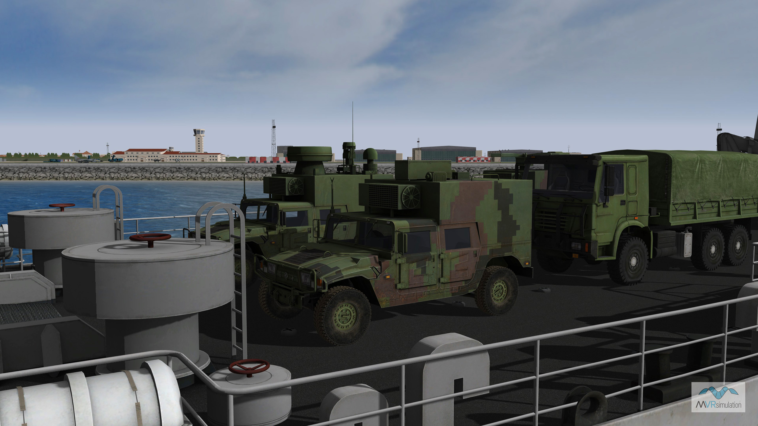
LST carrying vehicles in transport to Mischief Reef.
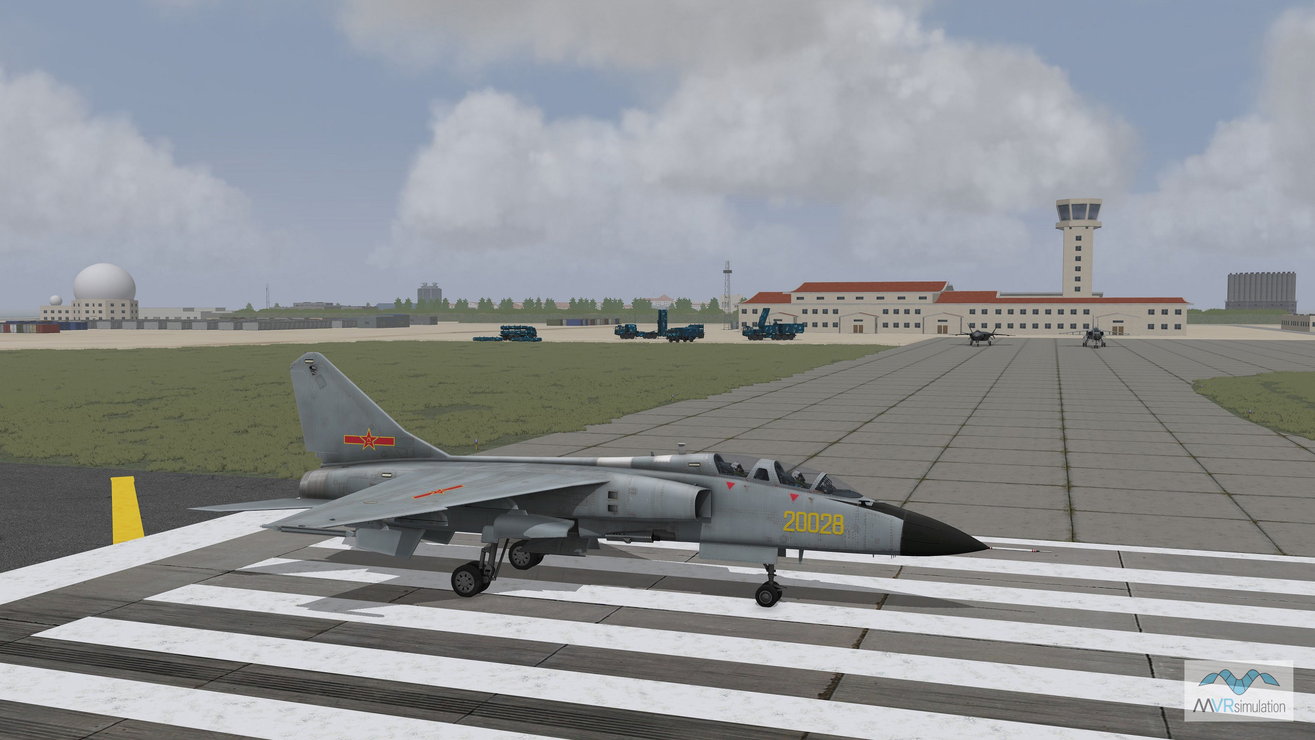
A JH-7 Chinese plane on the runway of the Mischief Reef airfield preparing for take off.