Airfields
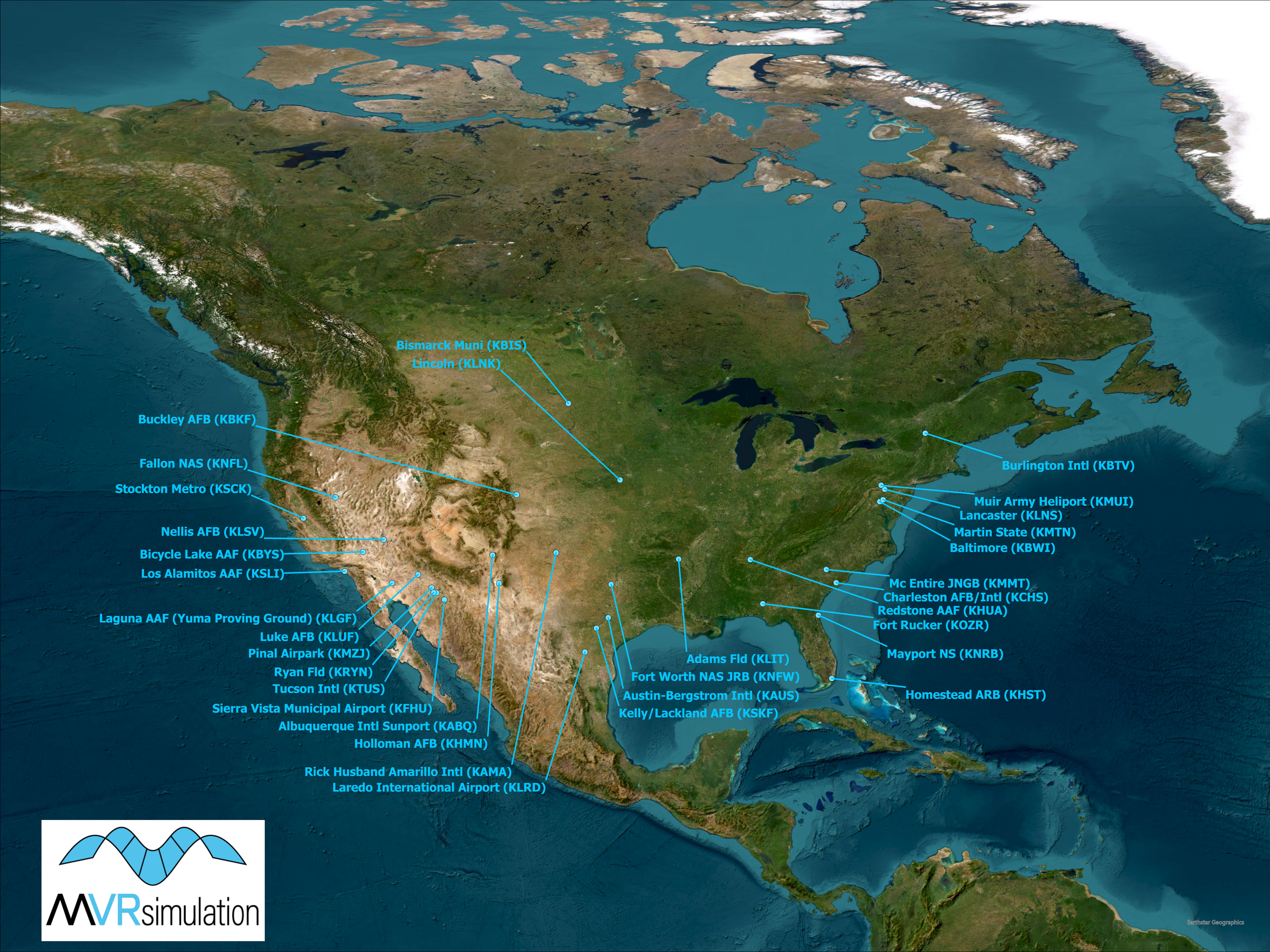
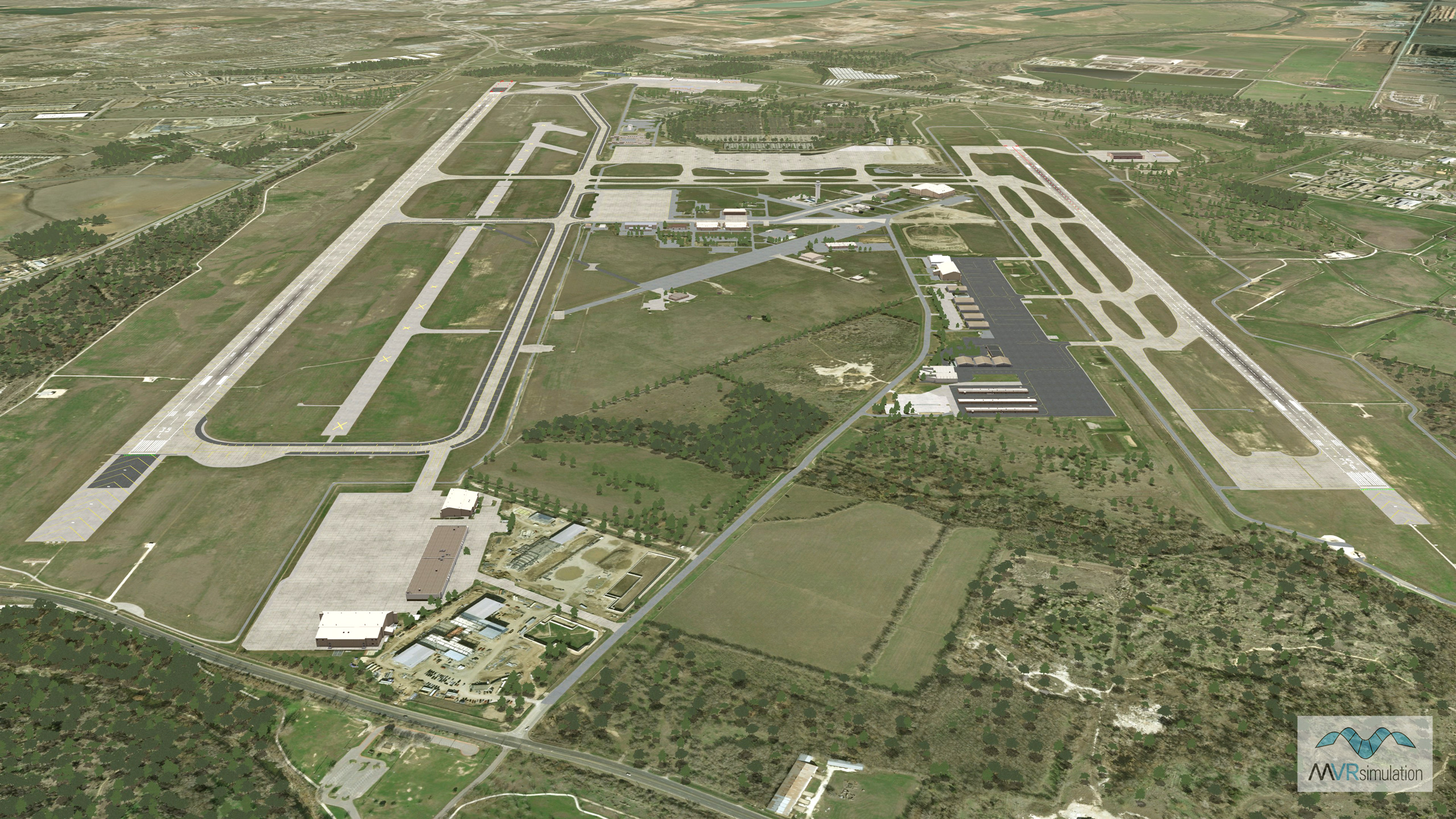
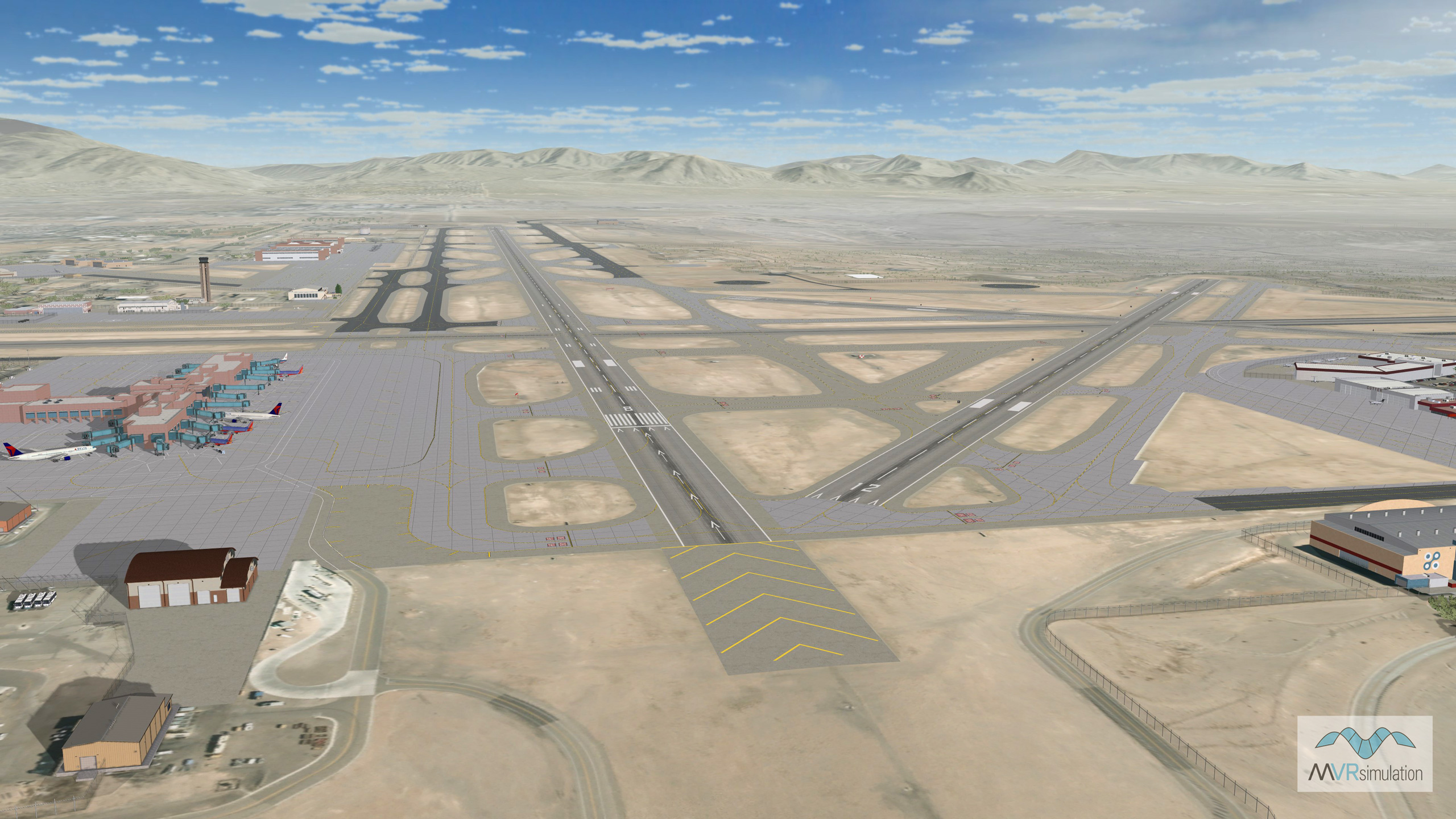
CONUS
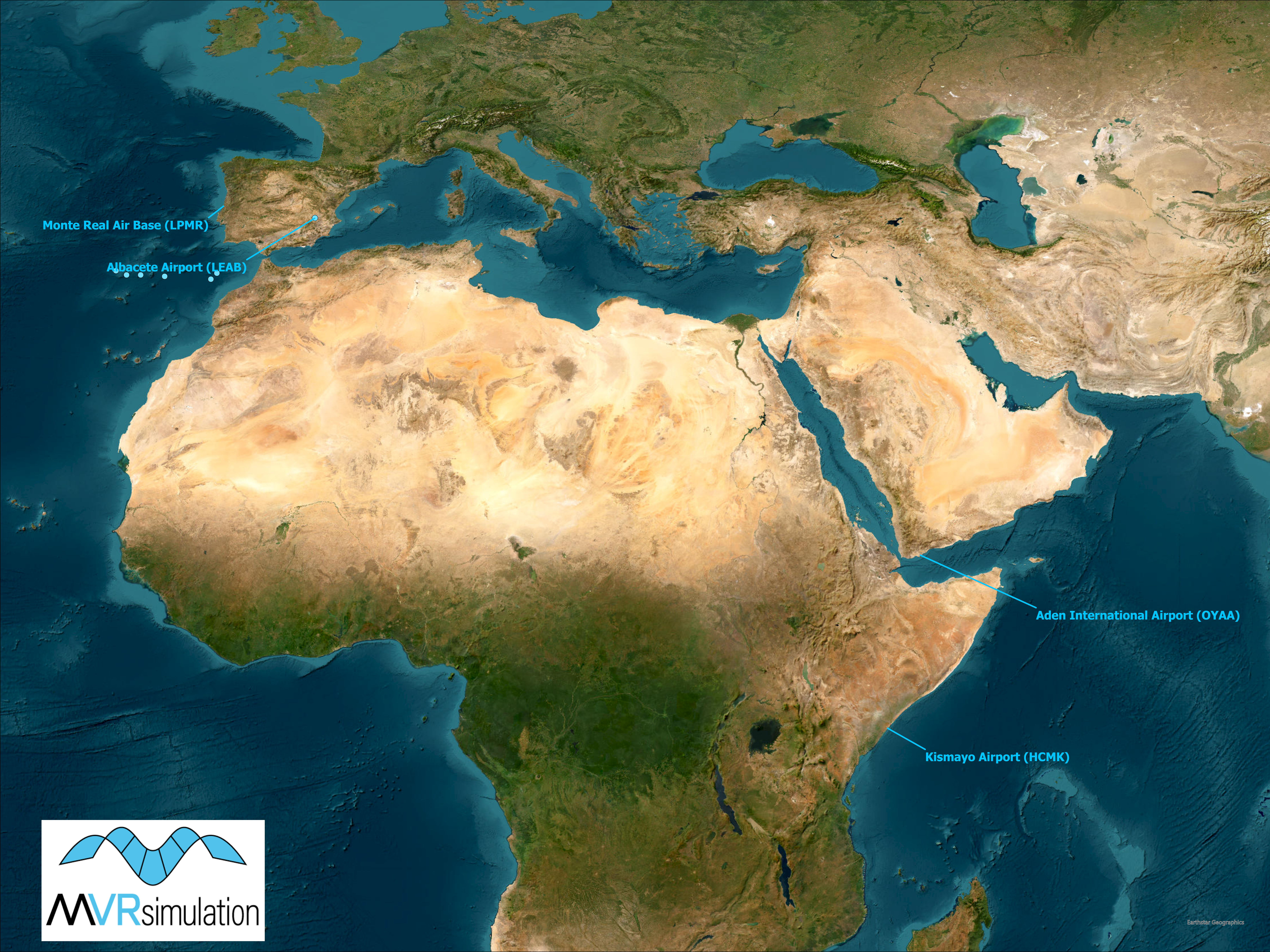
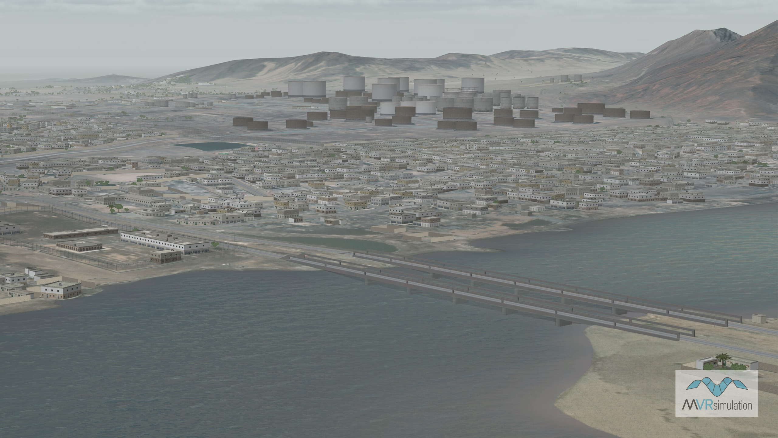
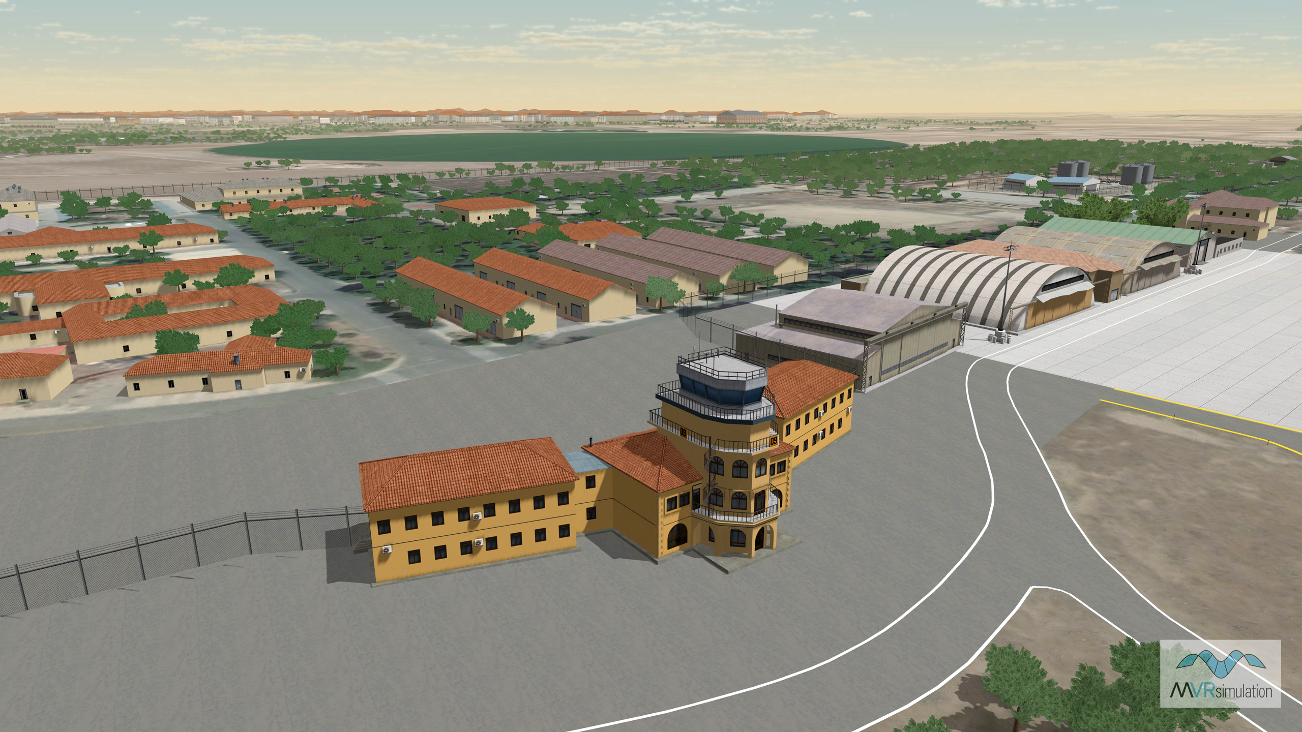
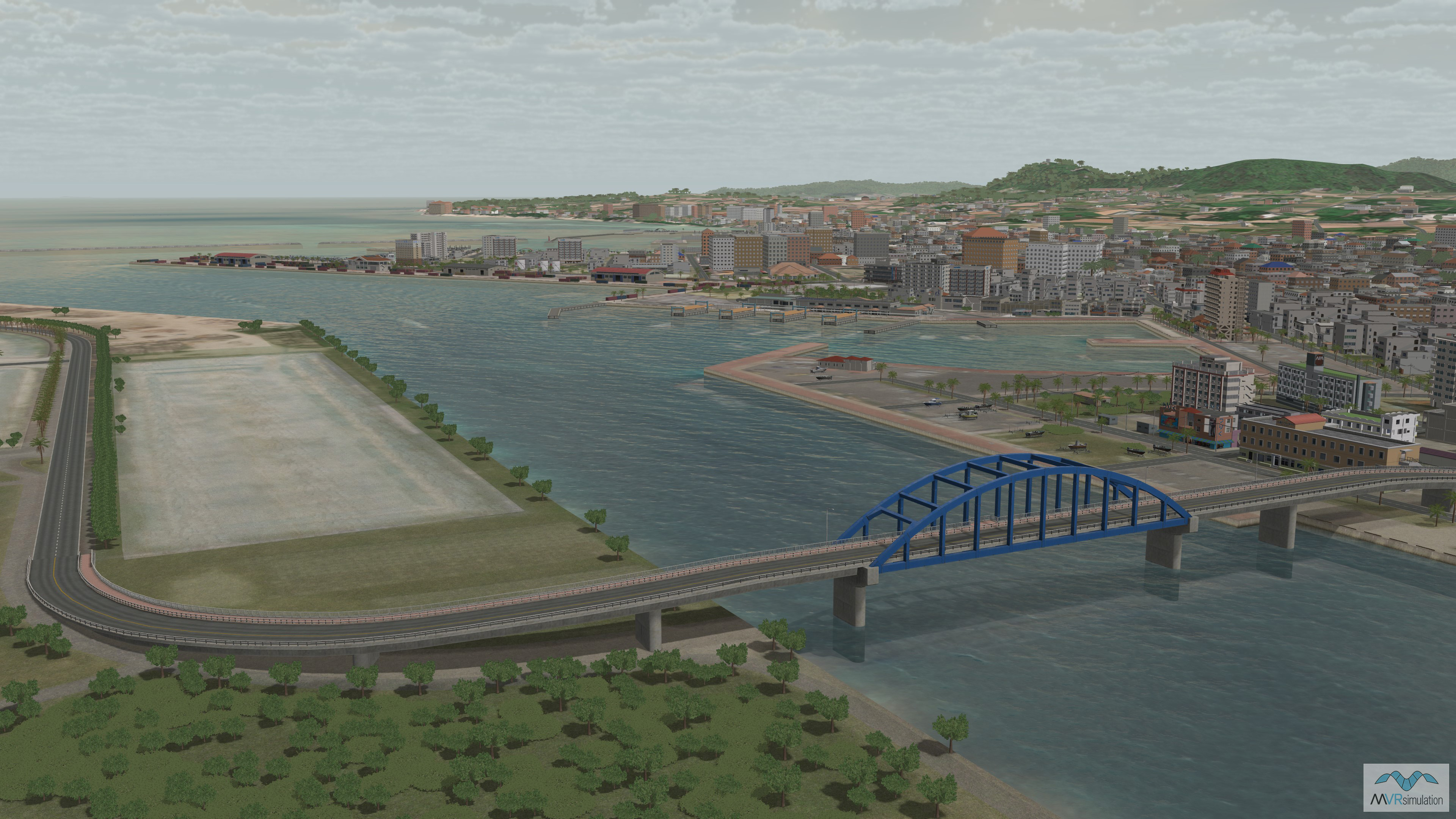
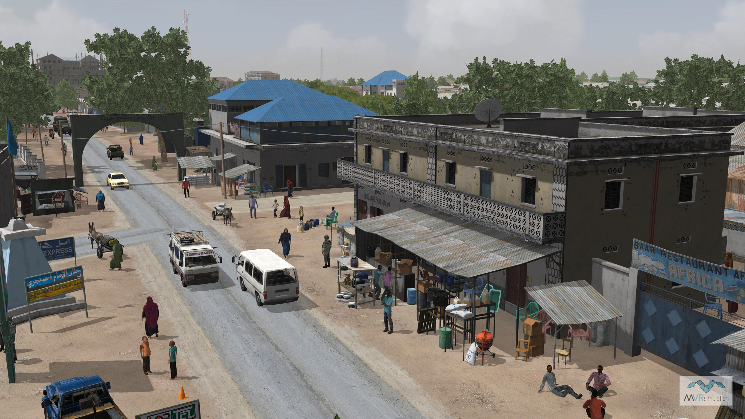
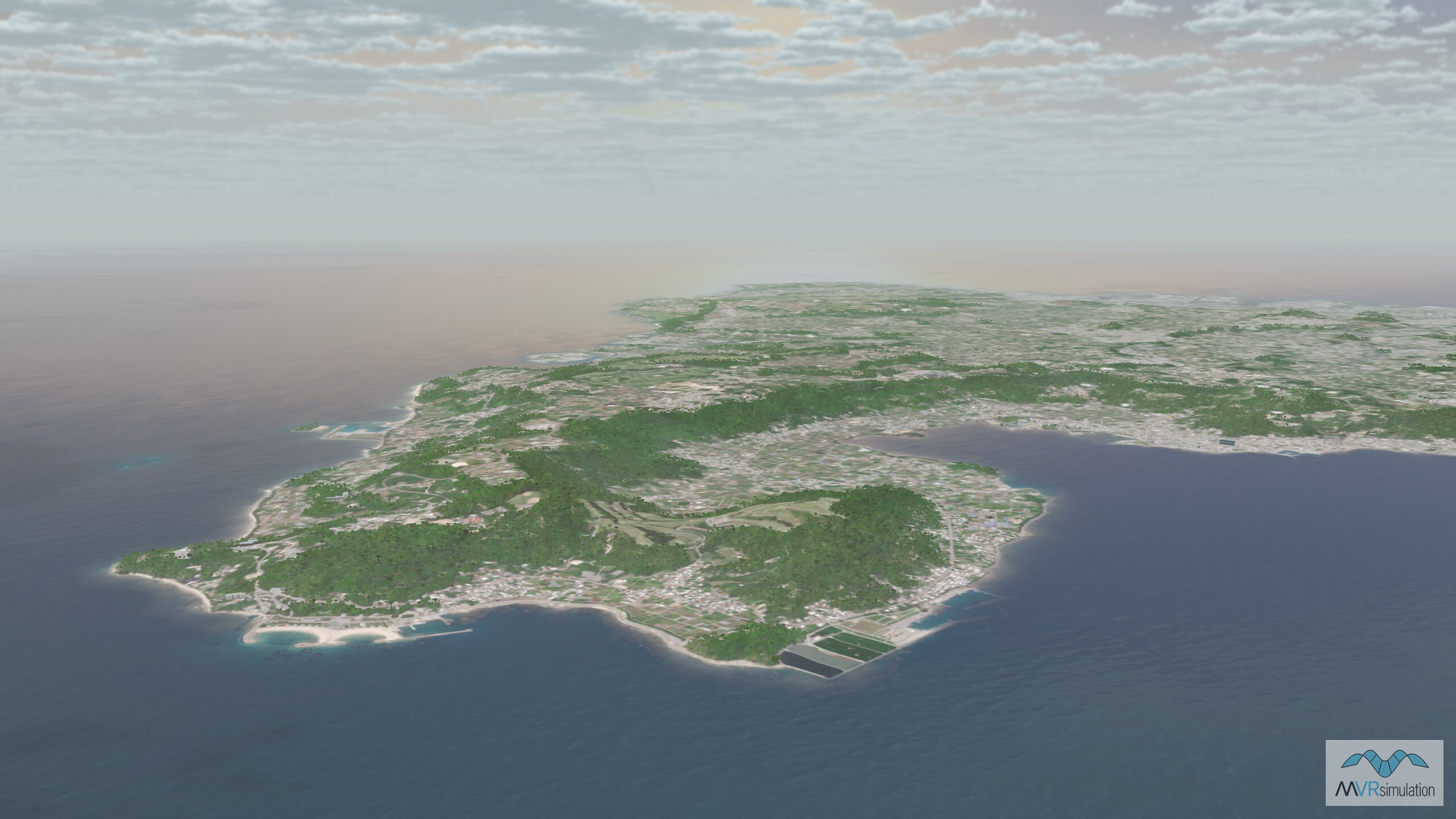
Europe - Africa - Middle East
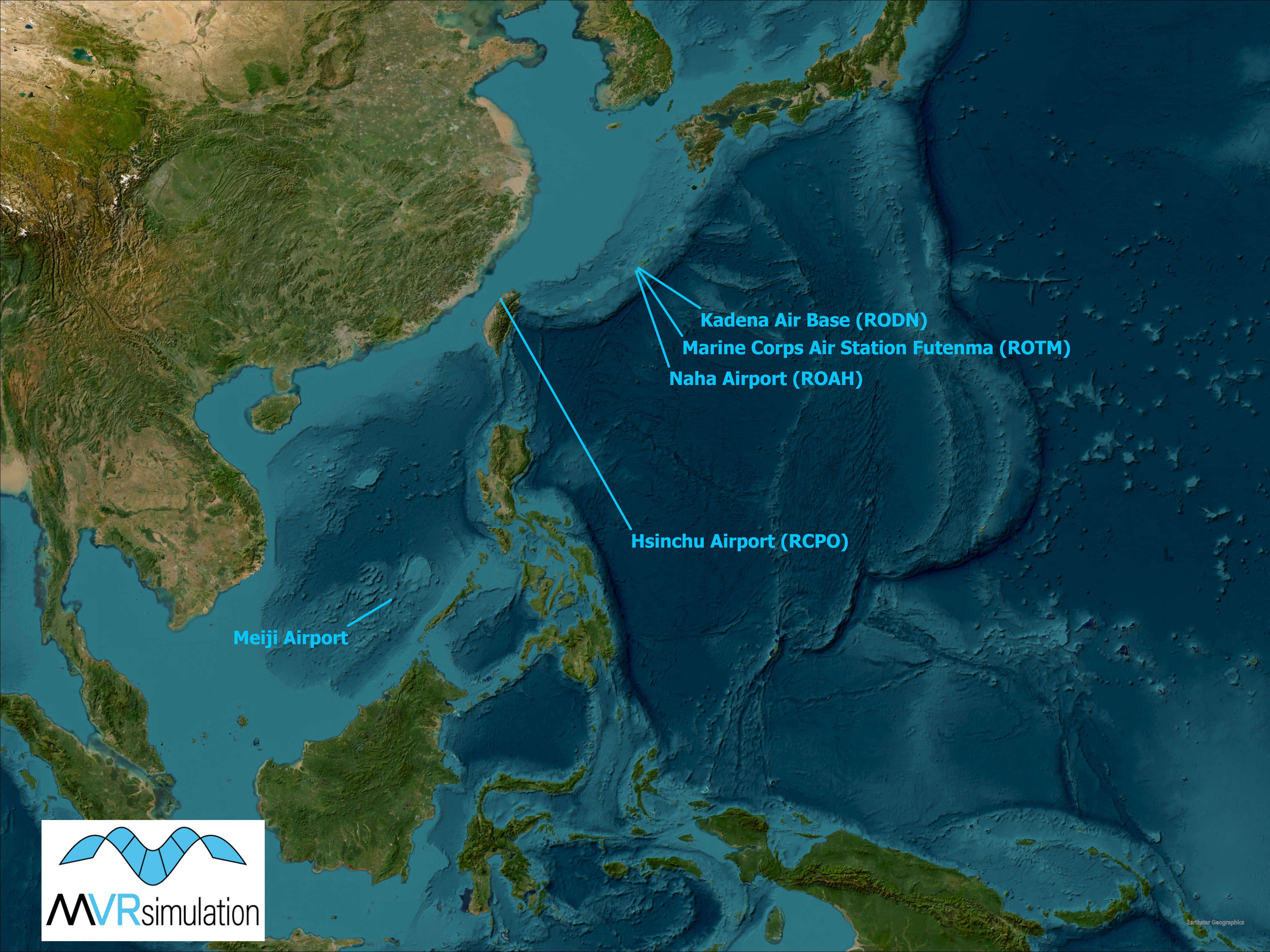
Asia
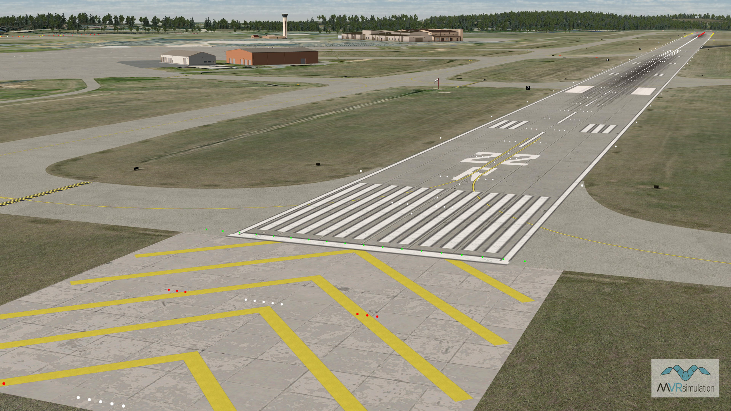
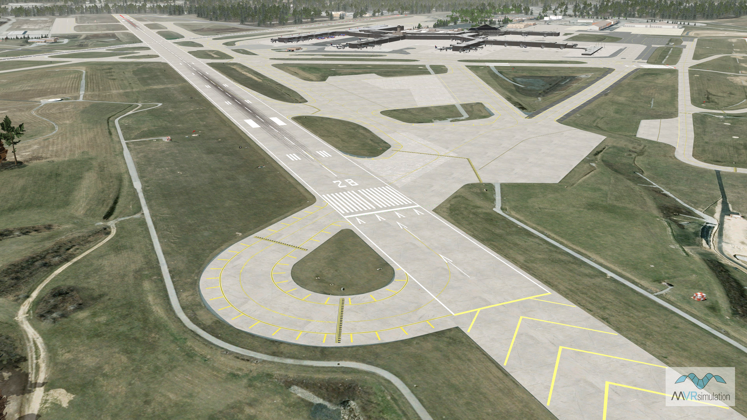
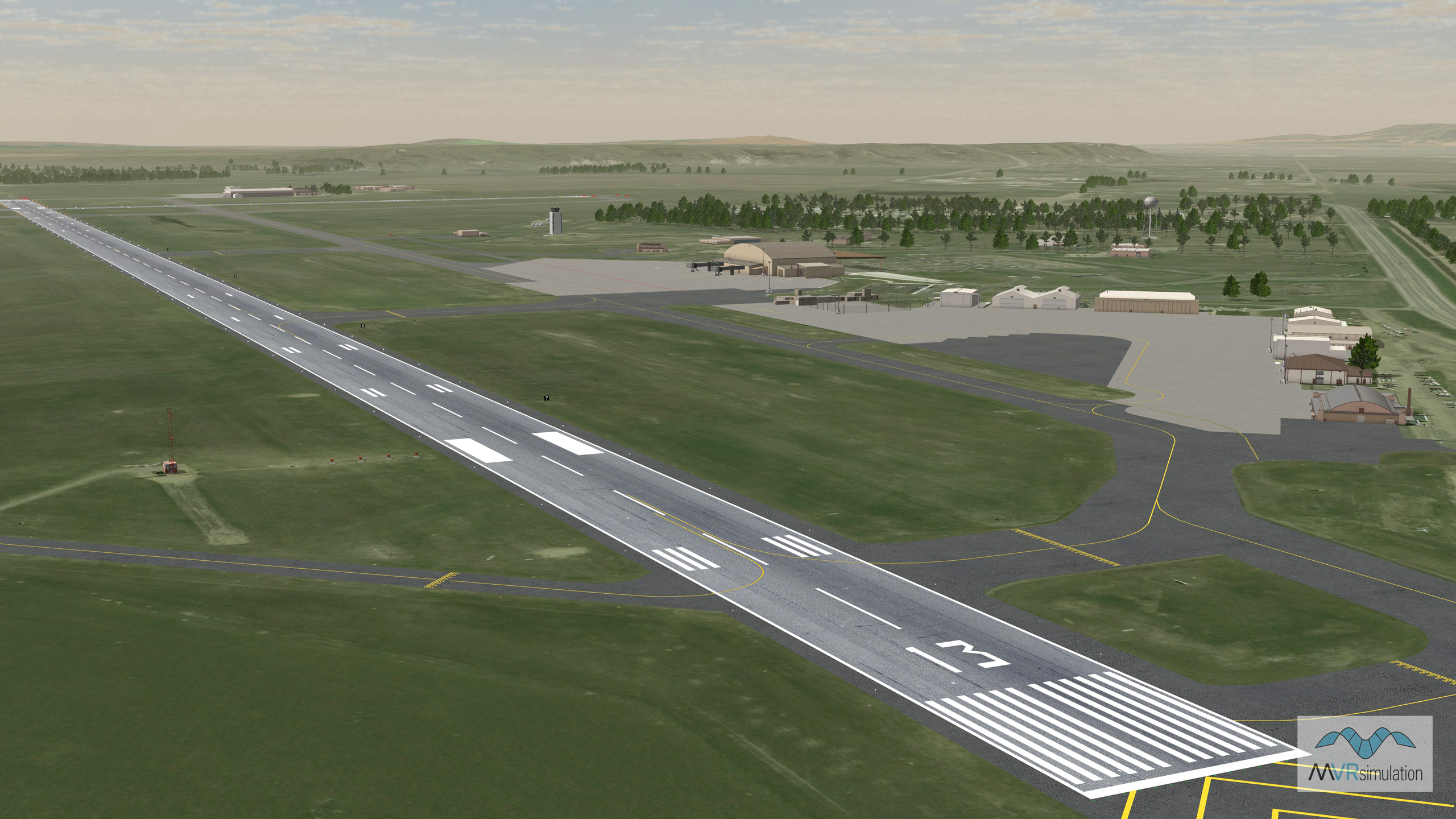
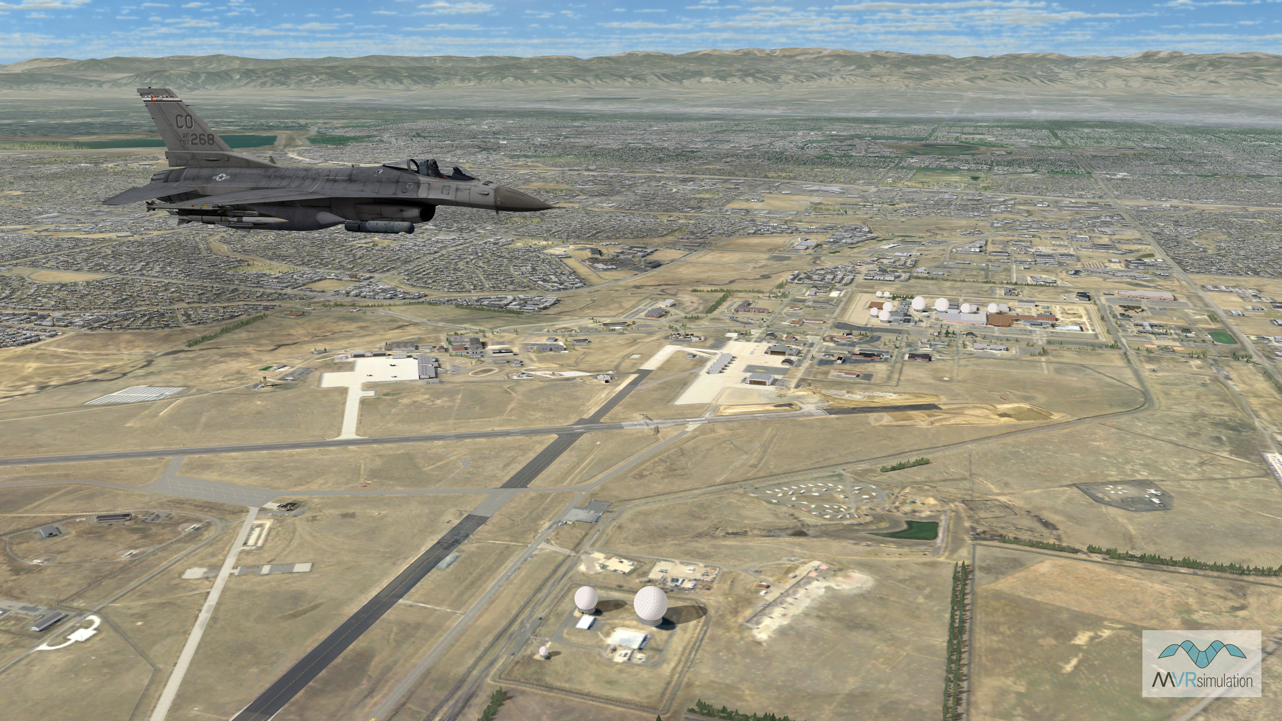
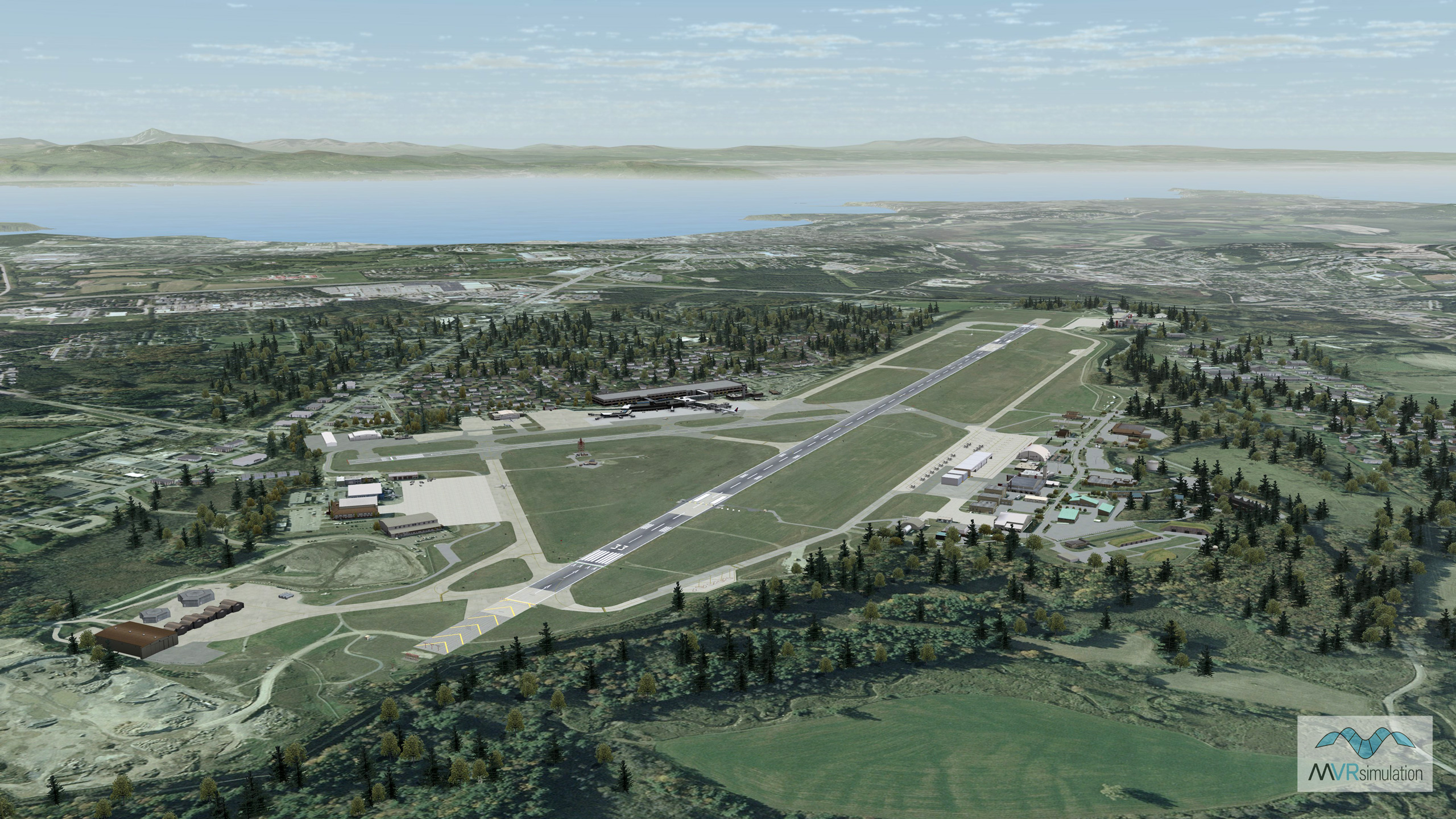
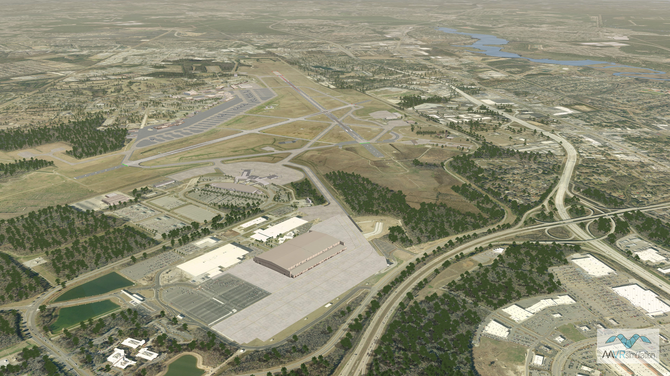
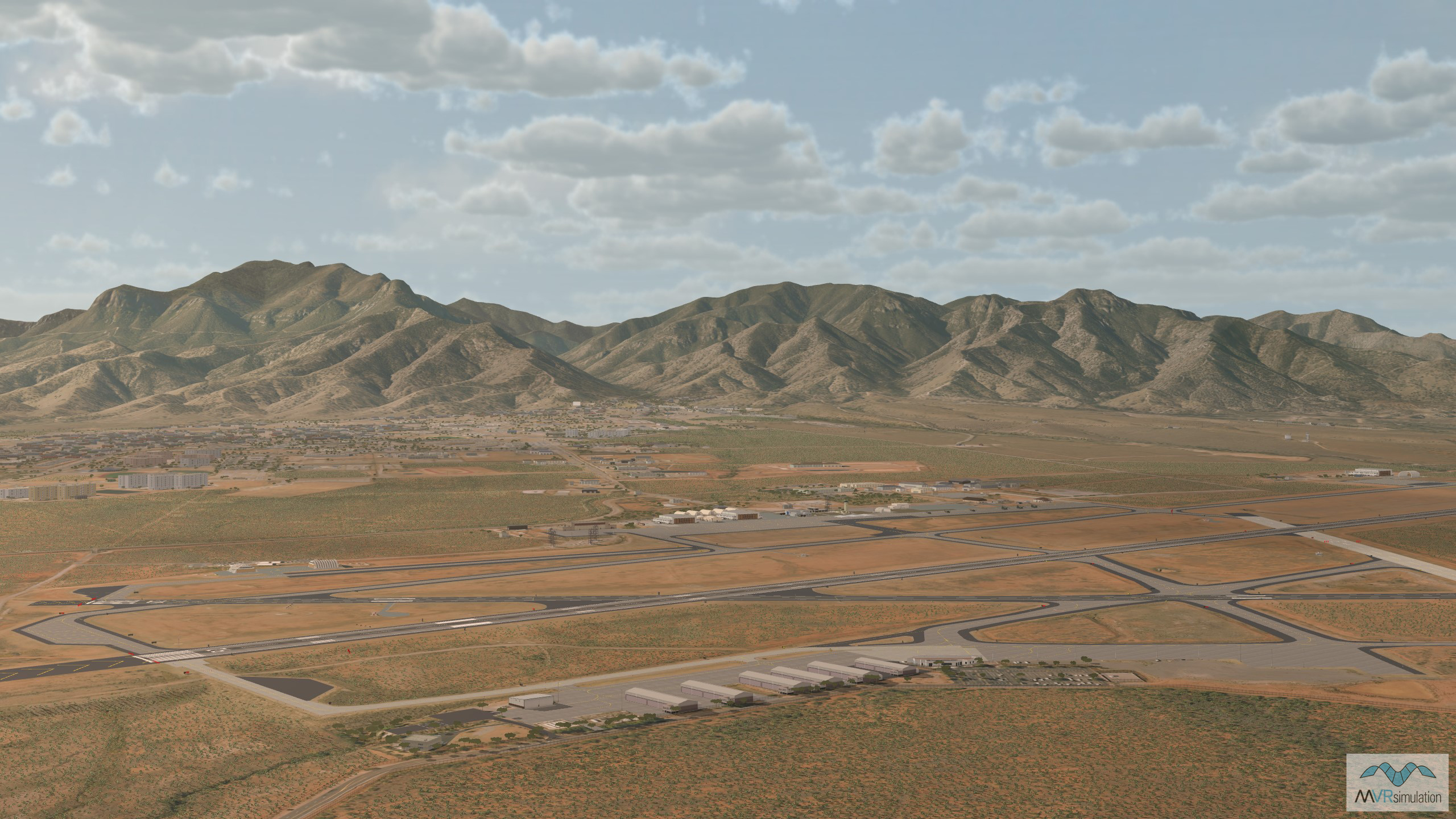
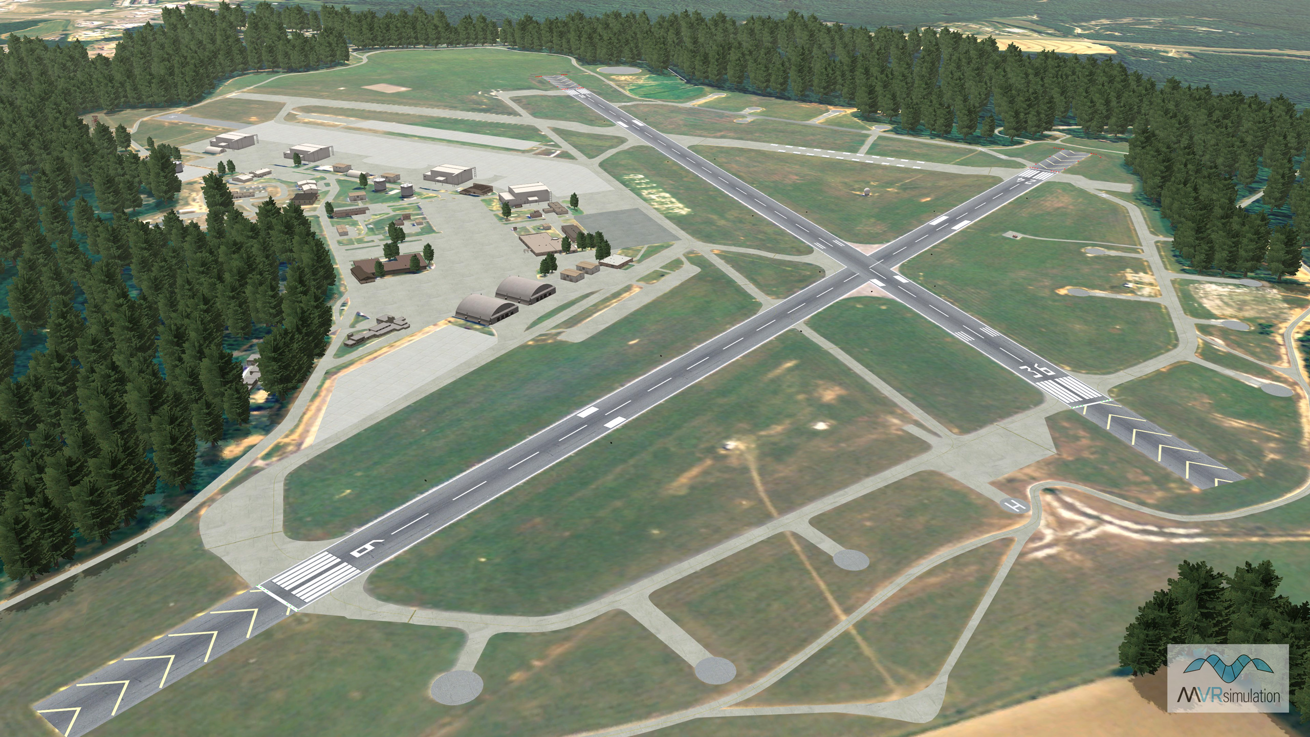
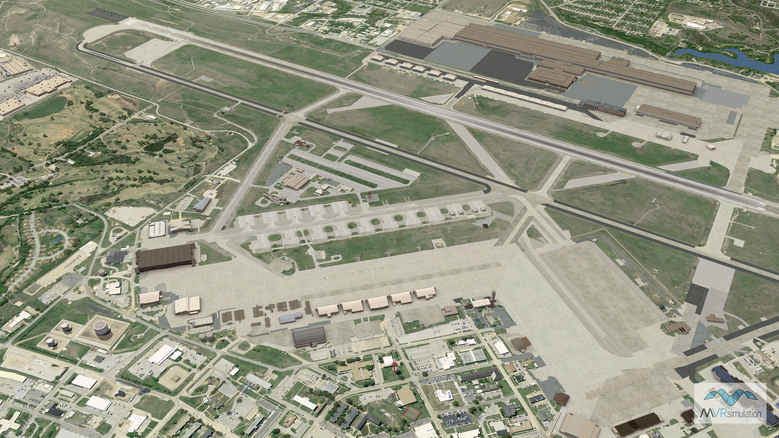
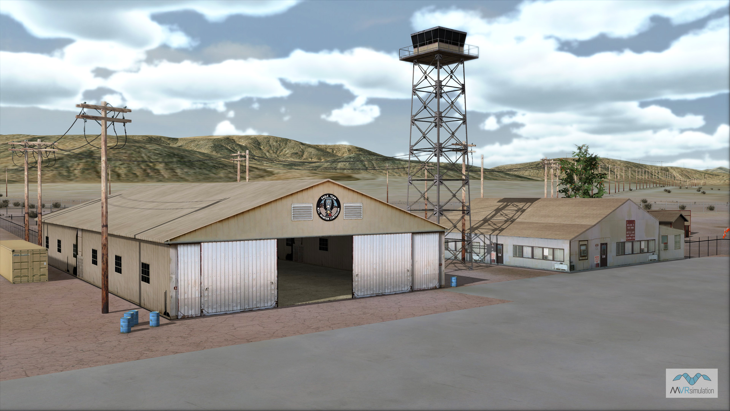
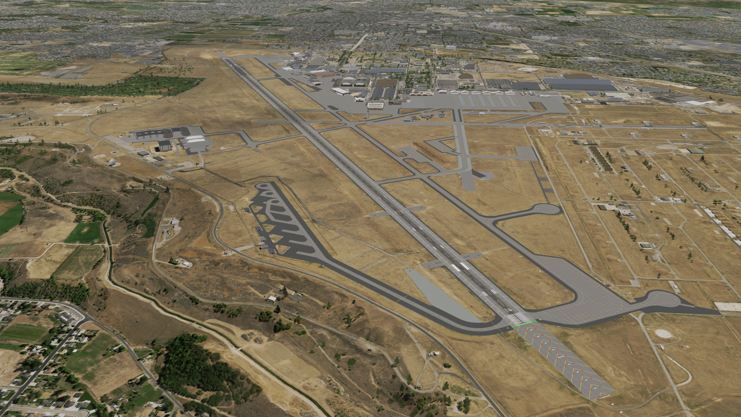
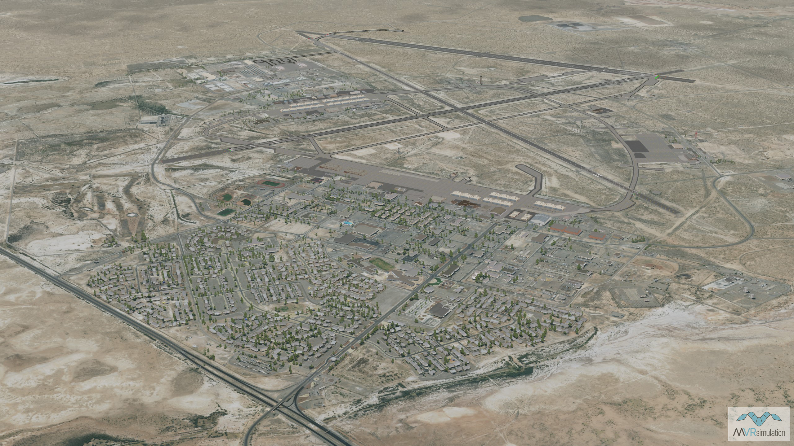
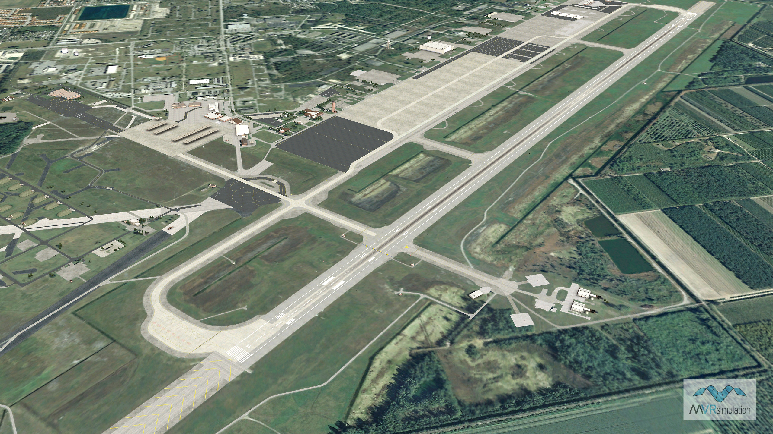
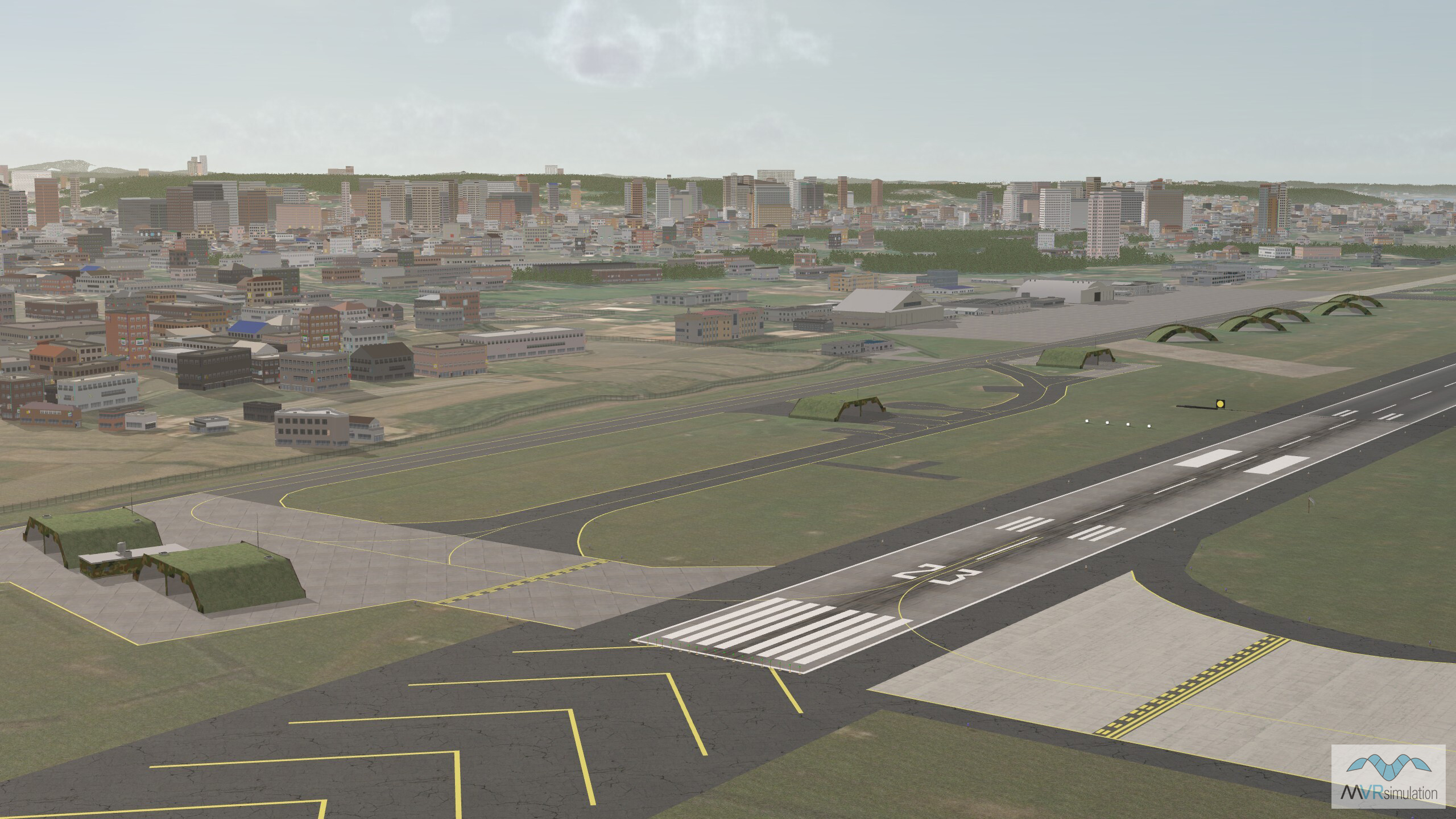
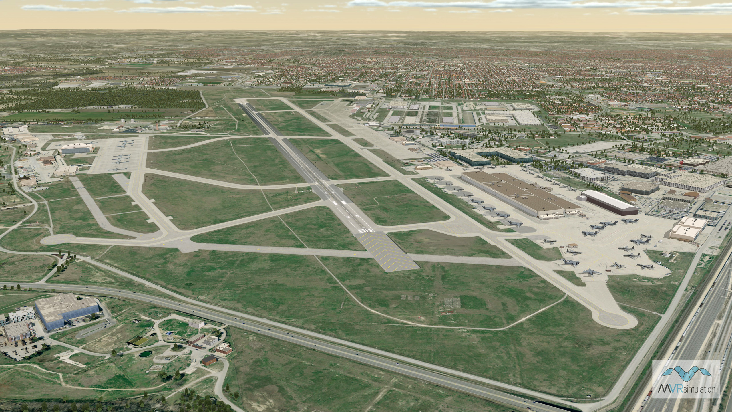
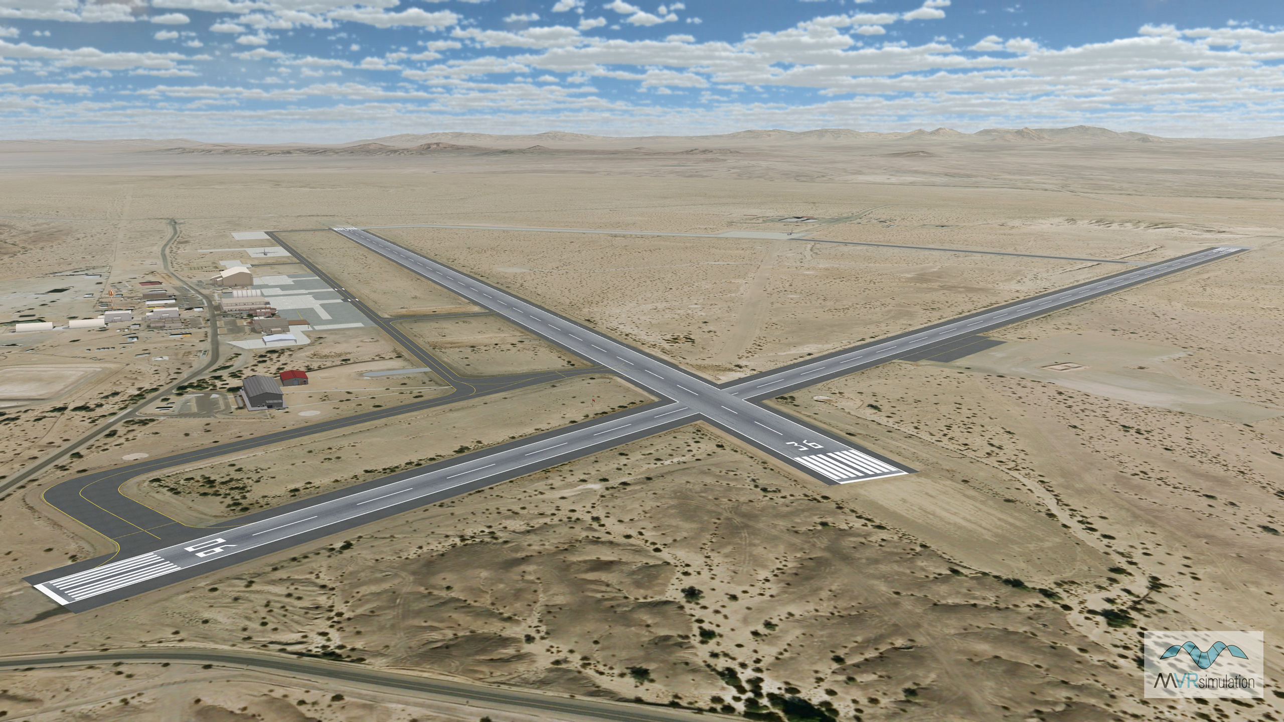
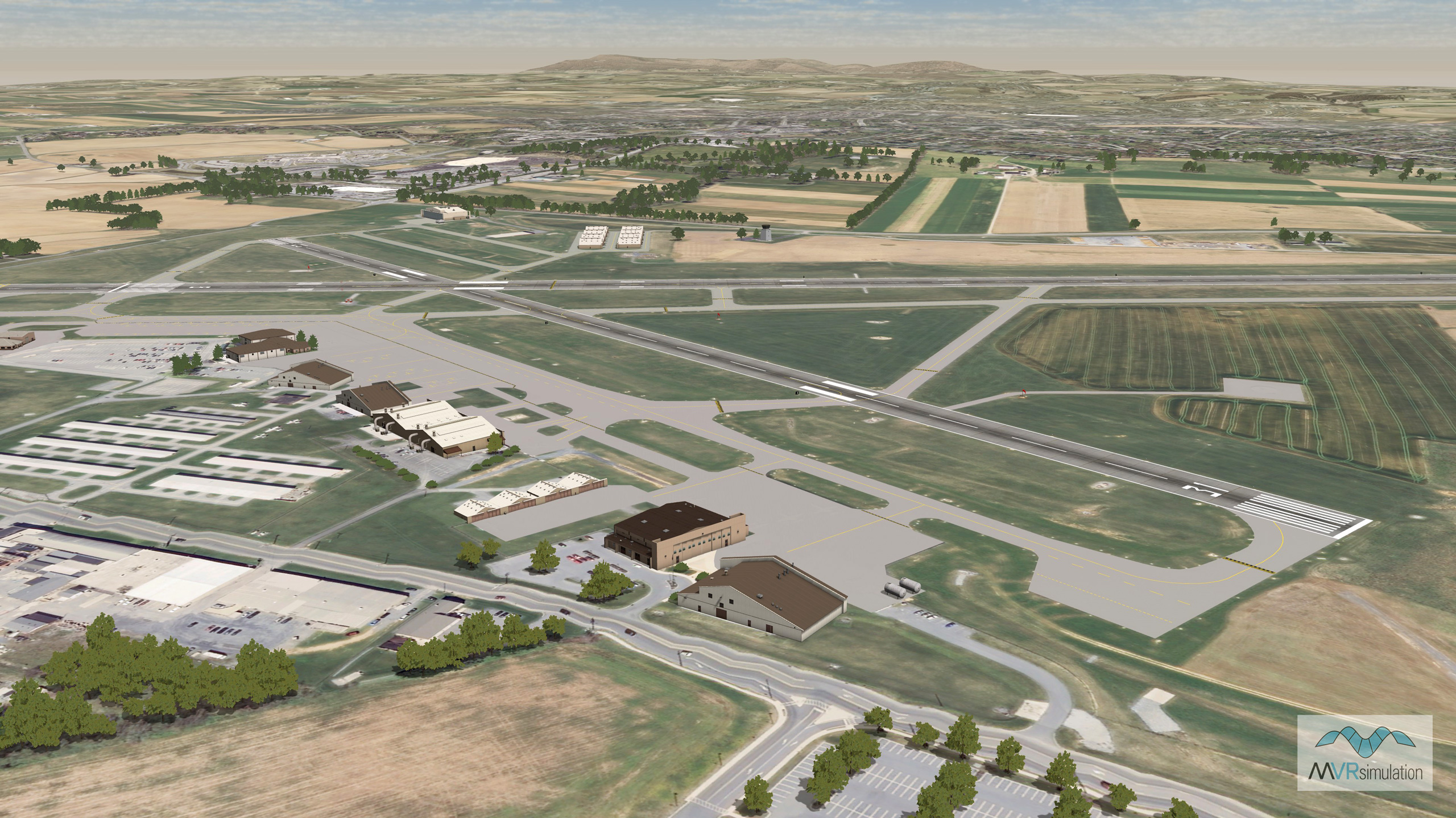
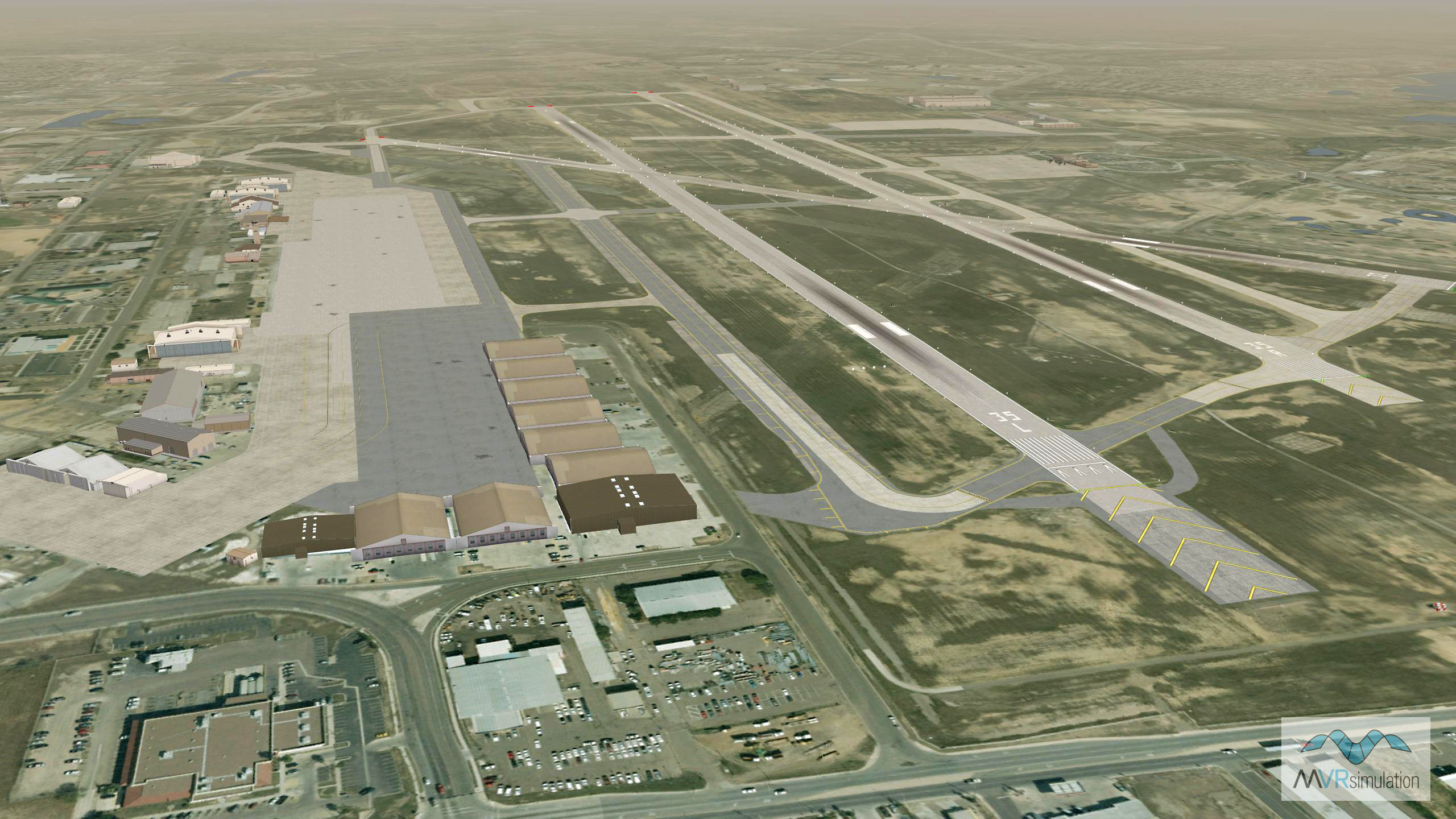
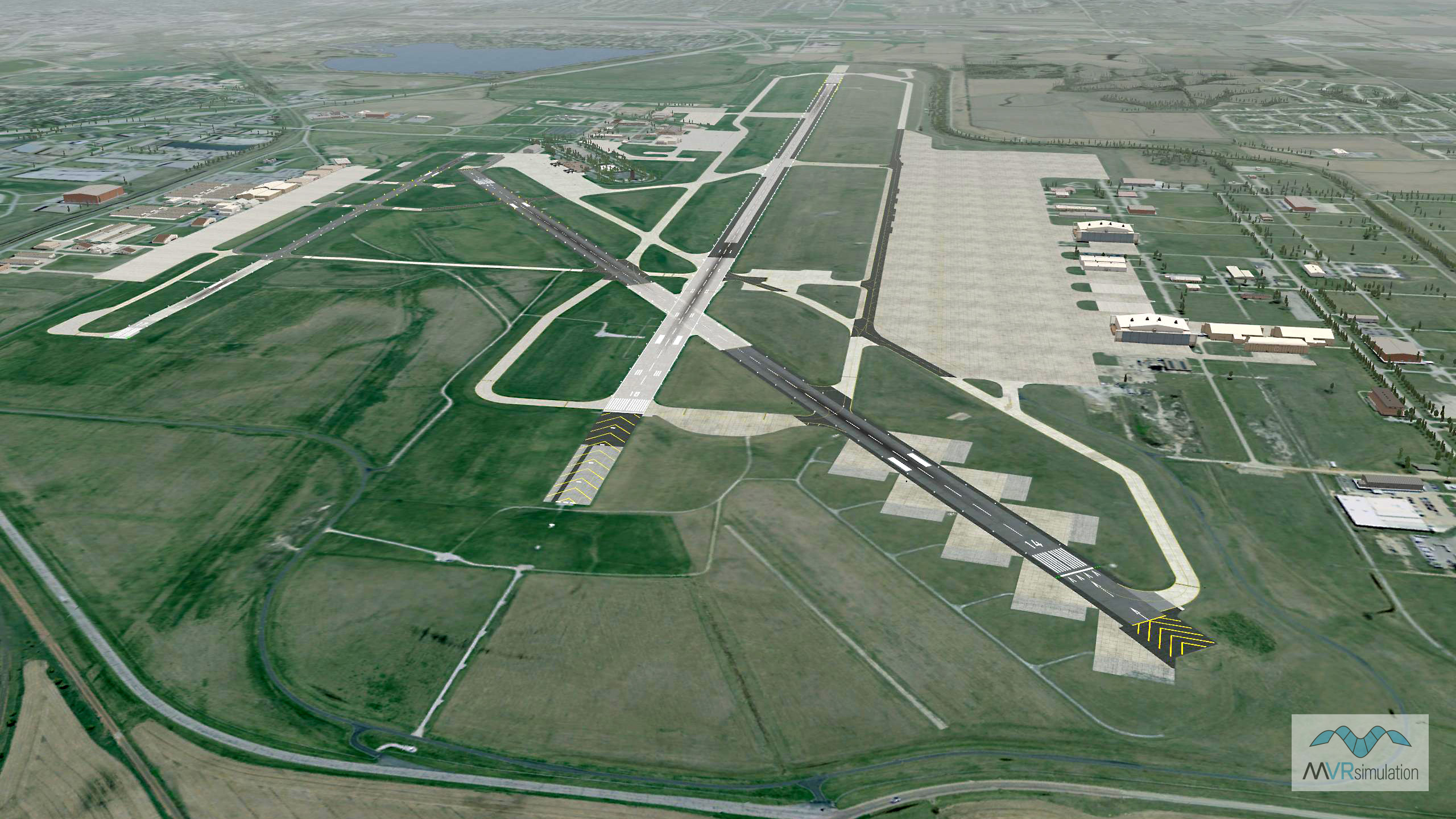
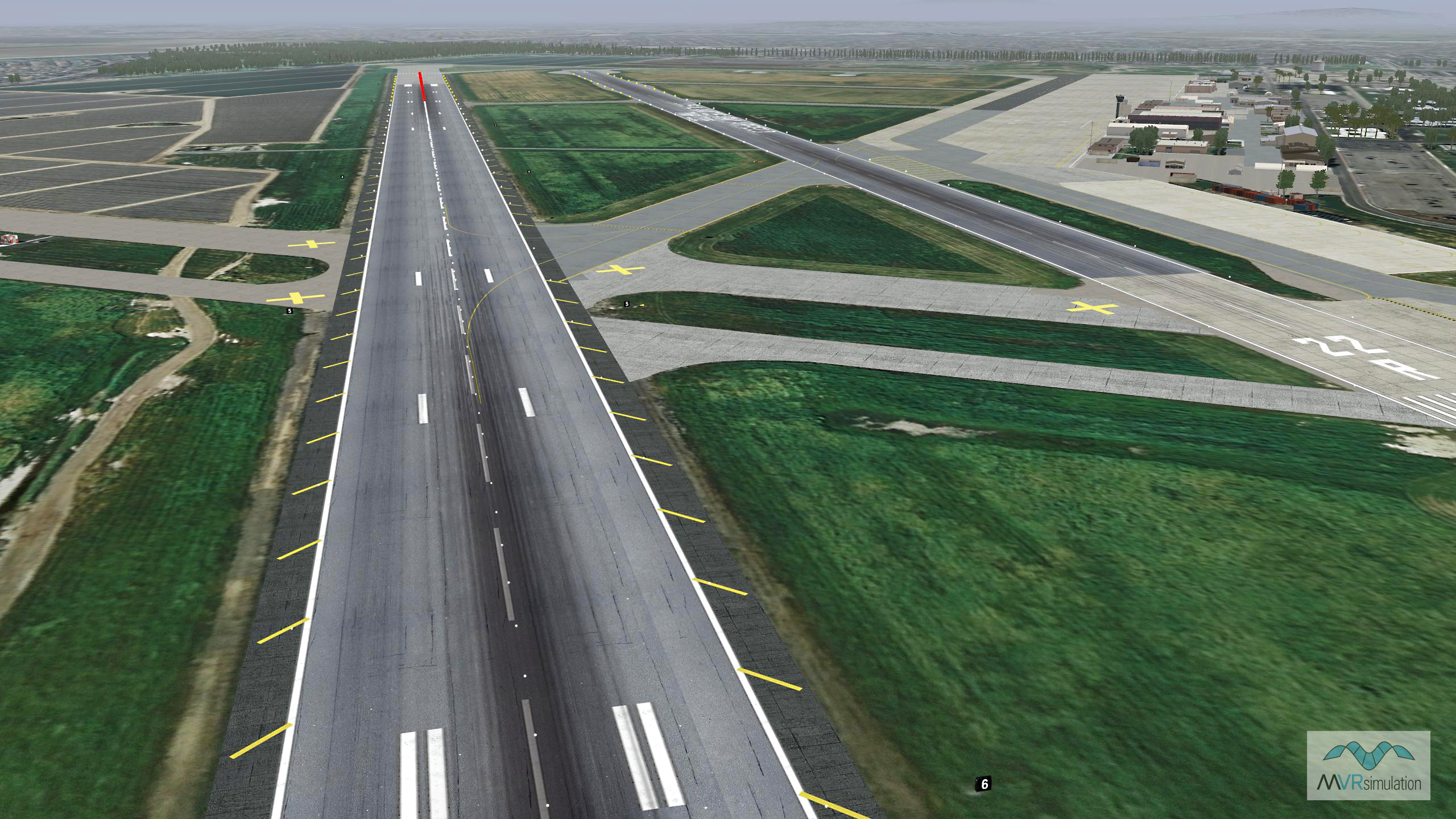
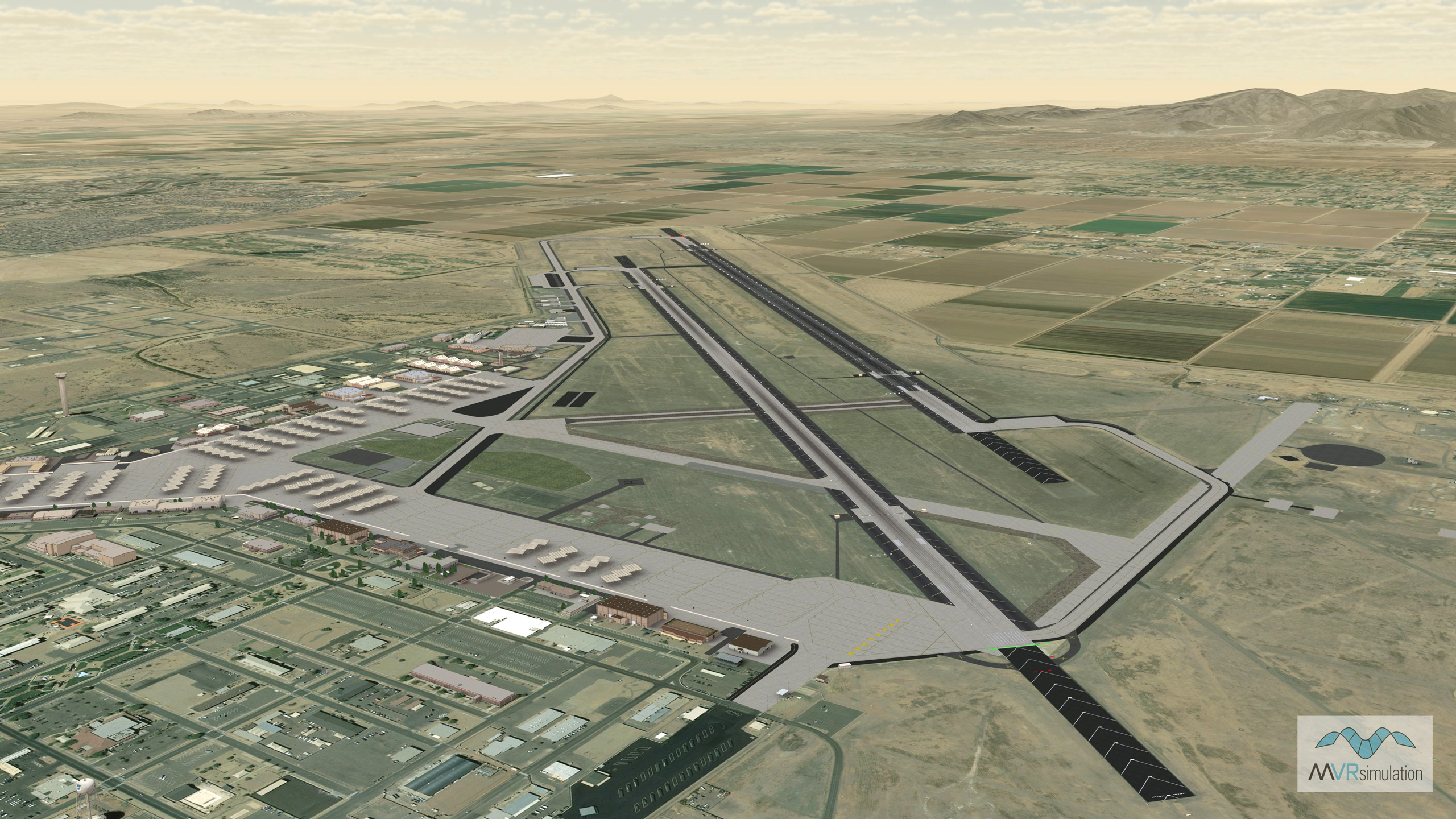
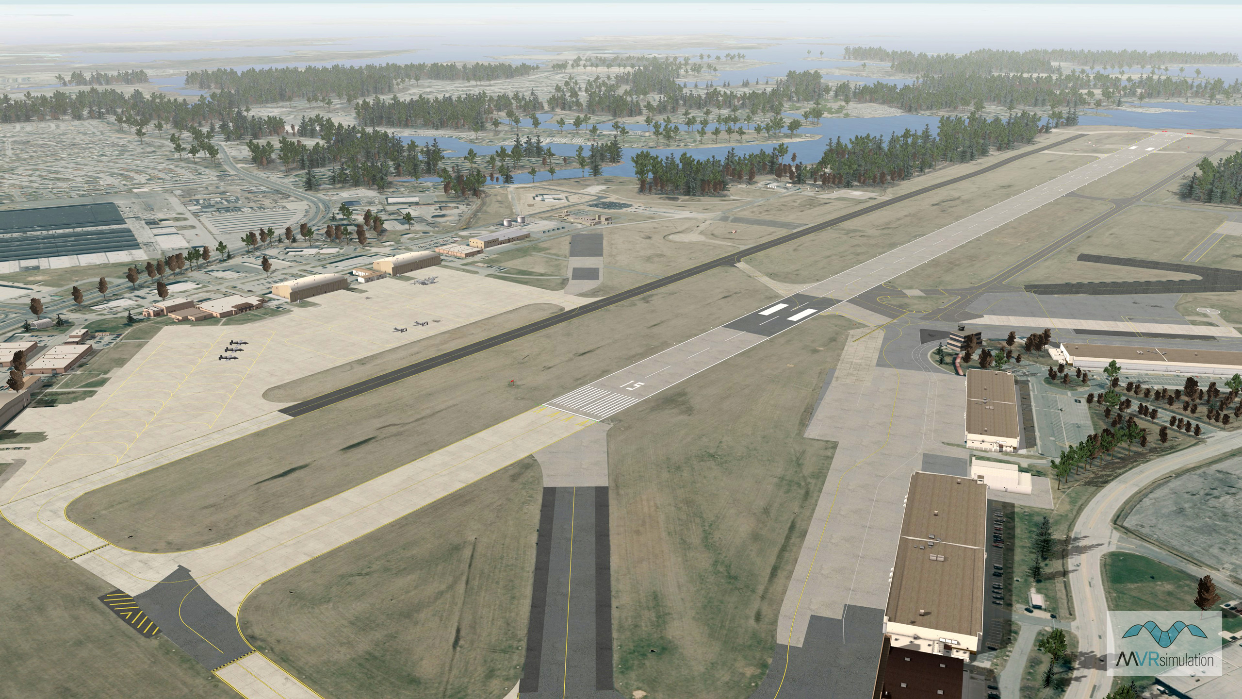
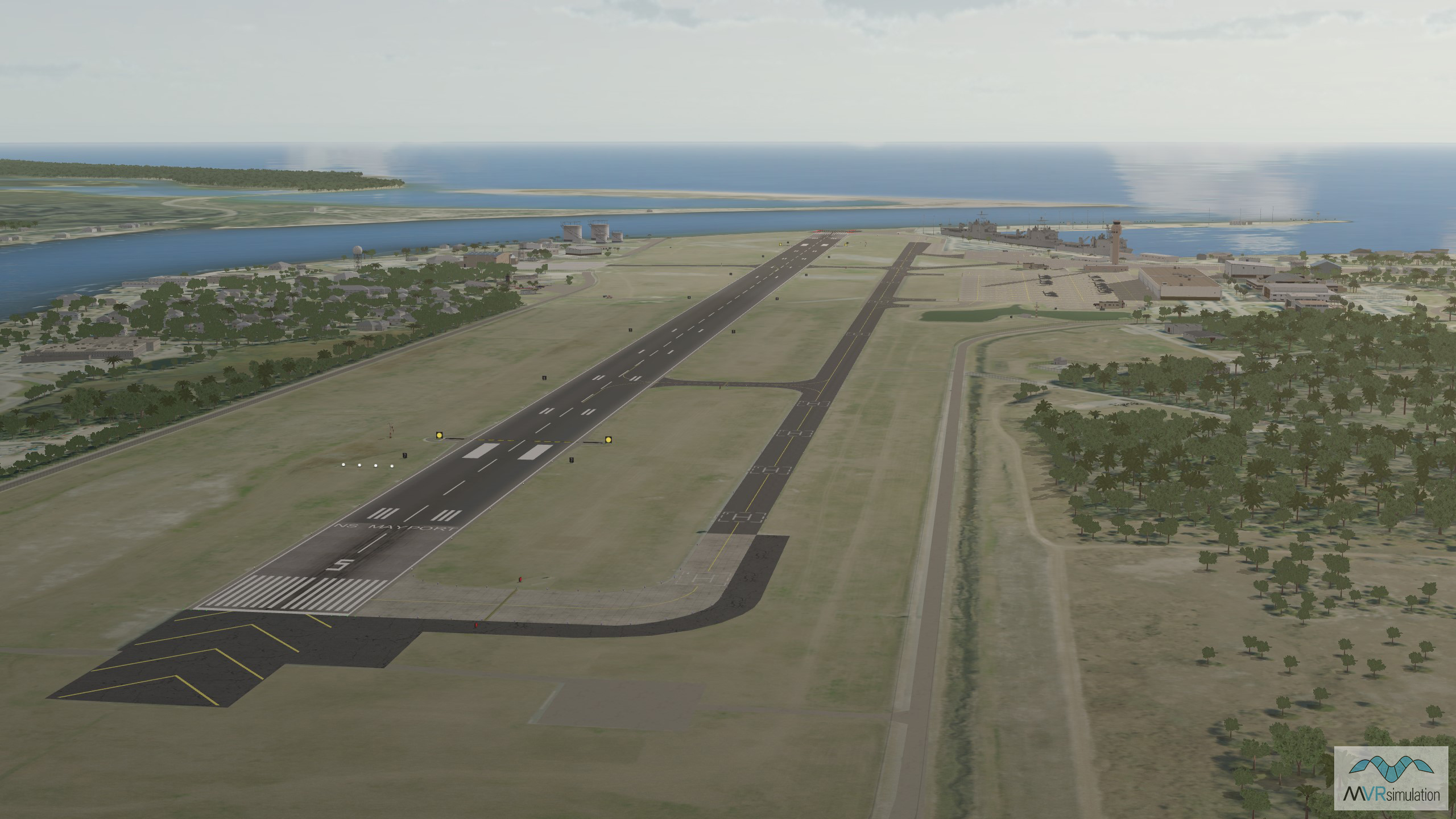
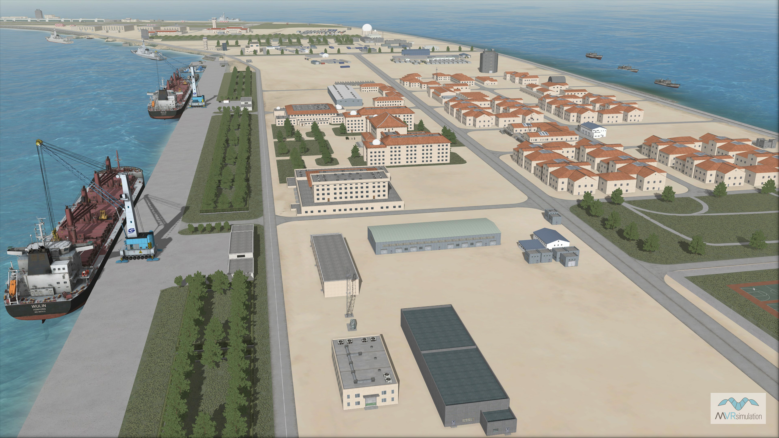
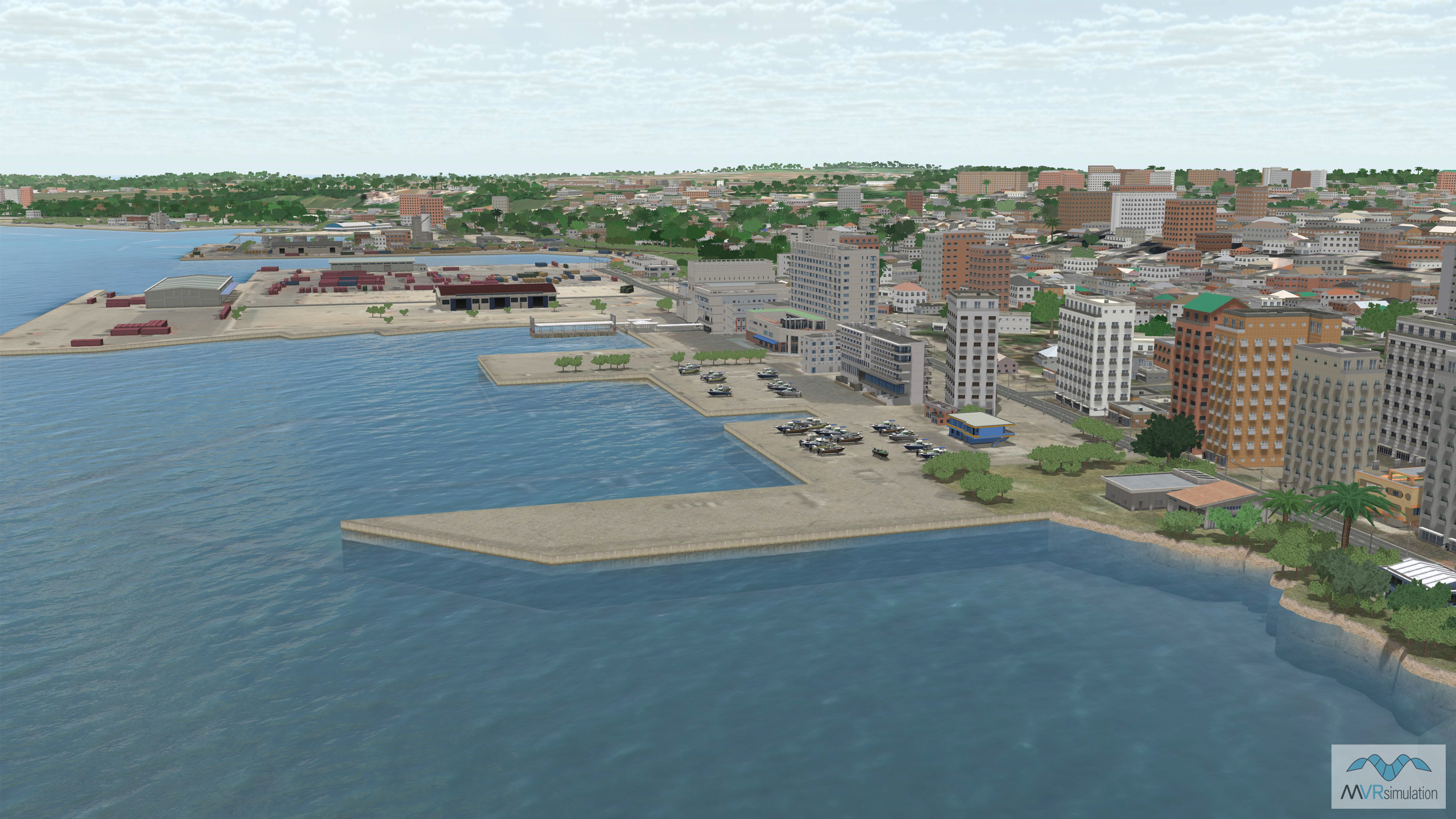
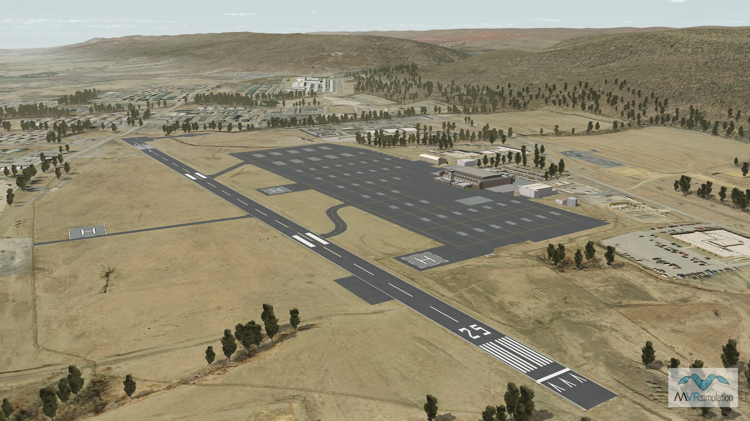
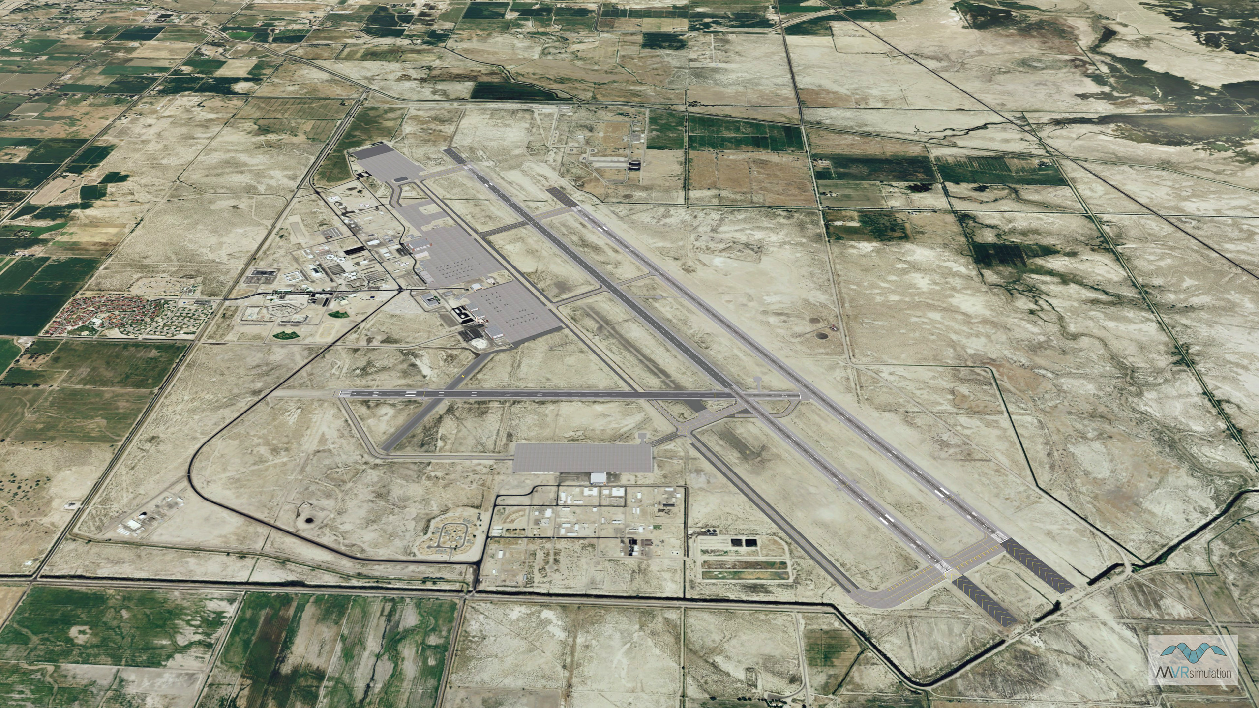
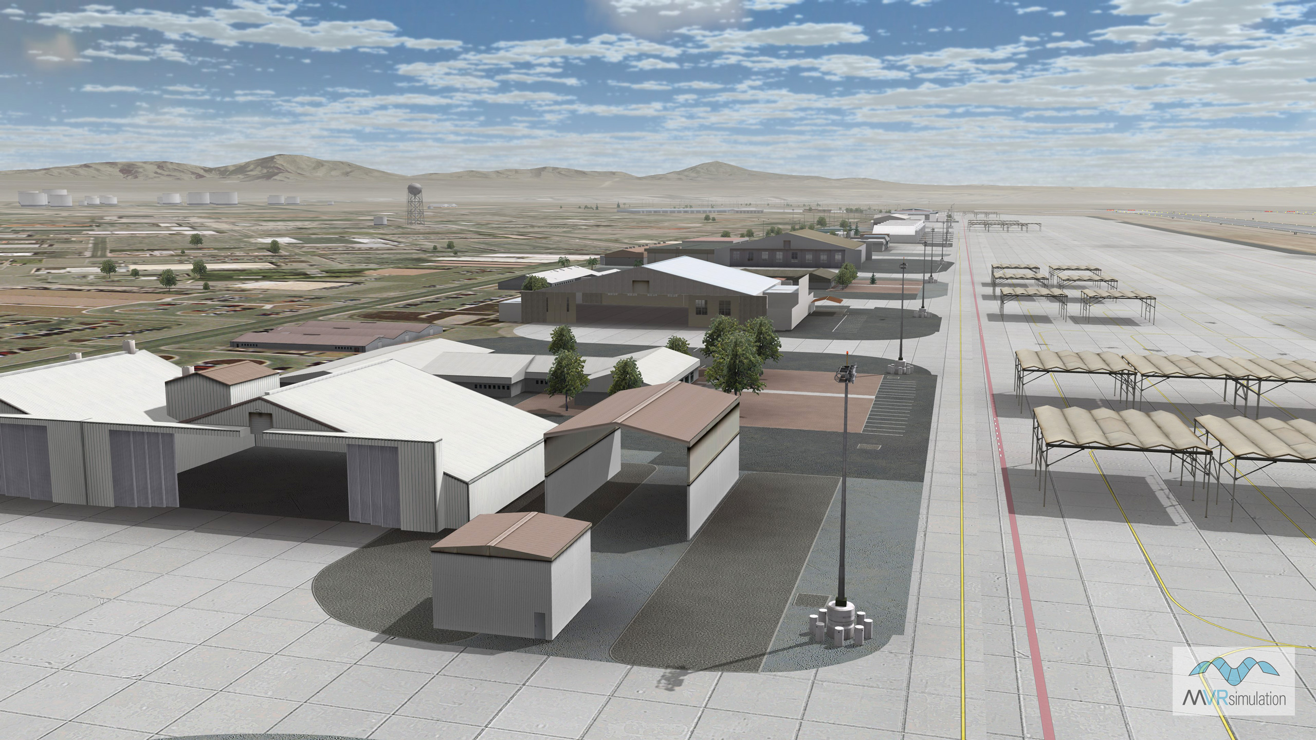
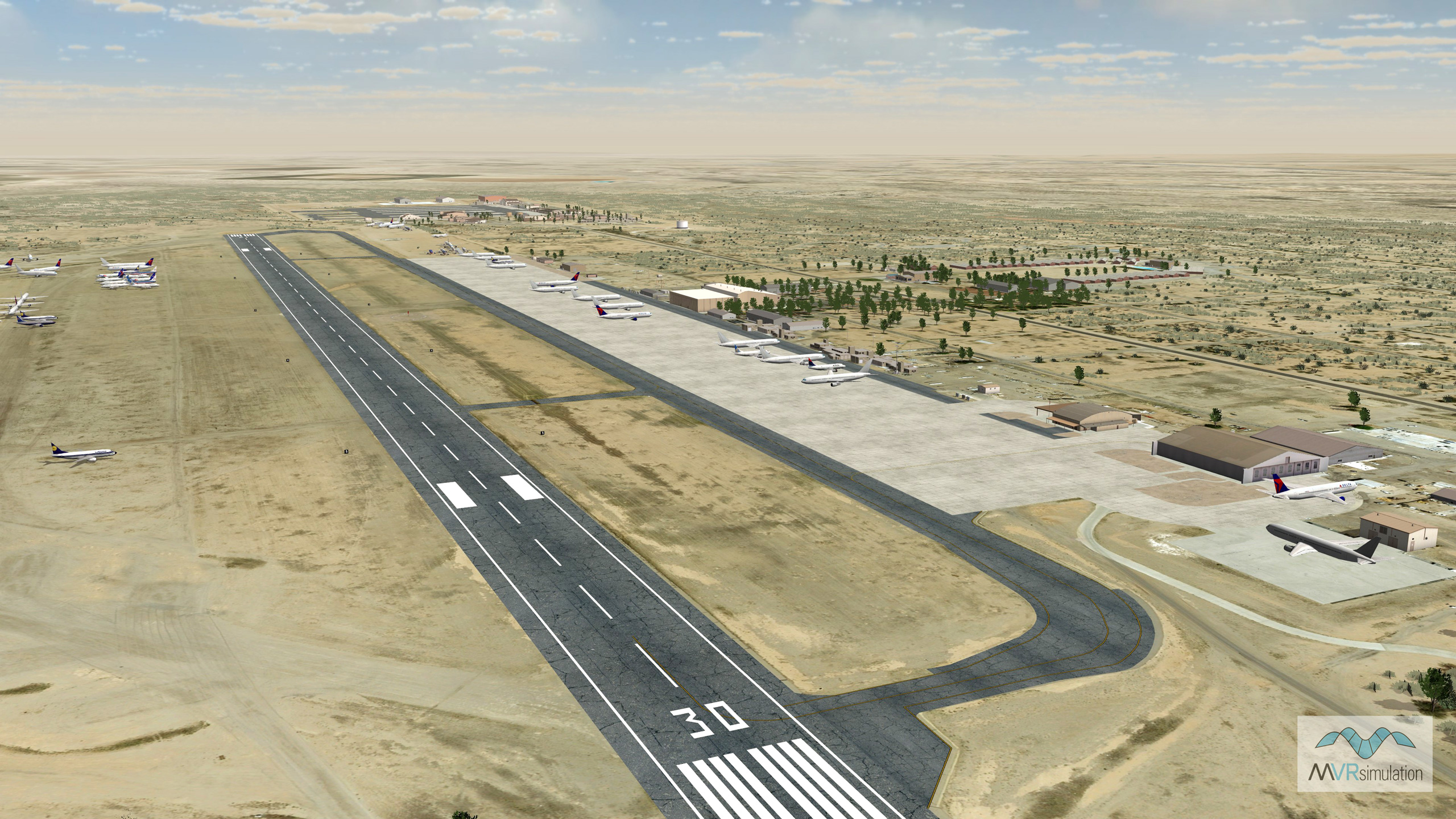
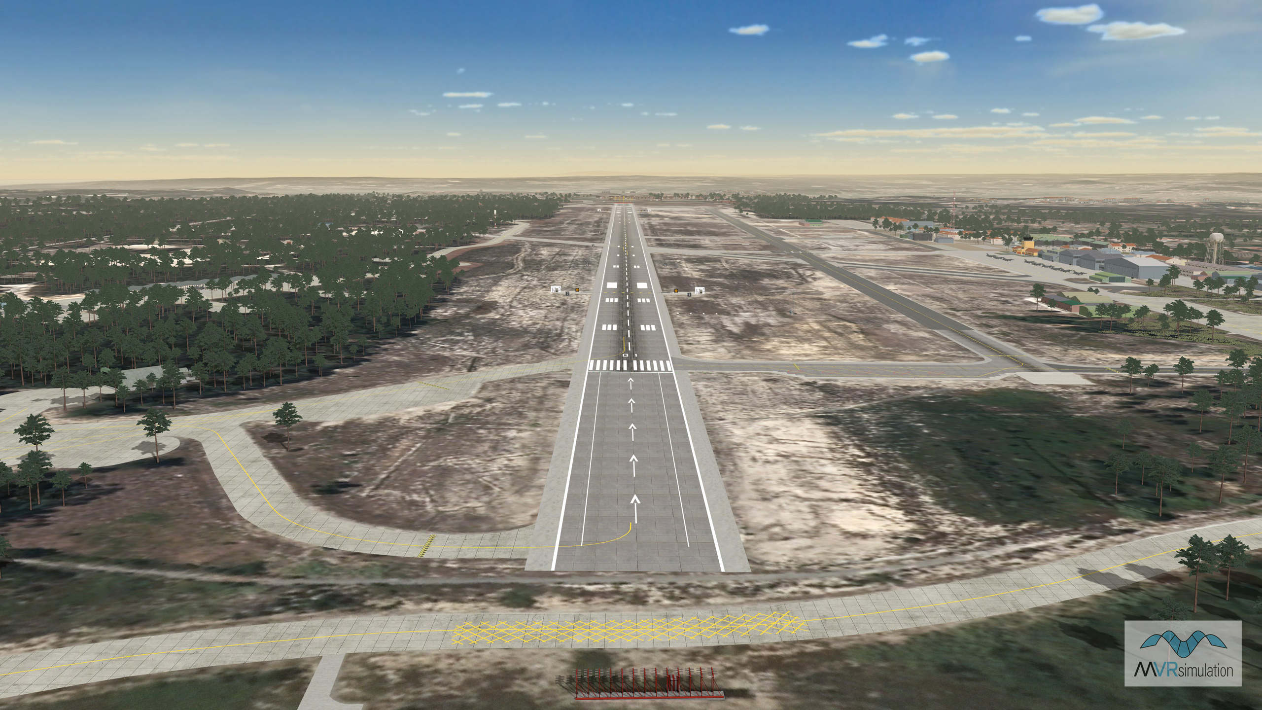
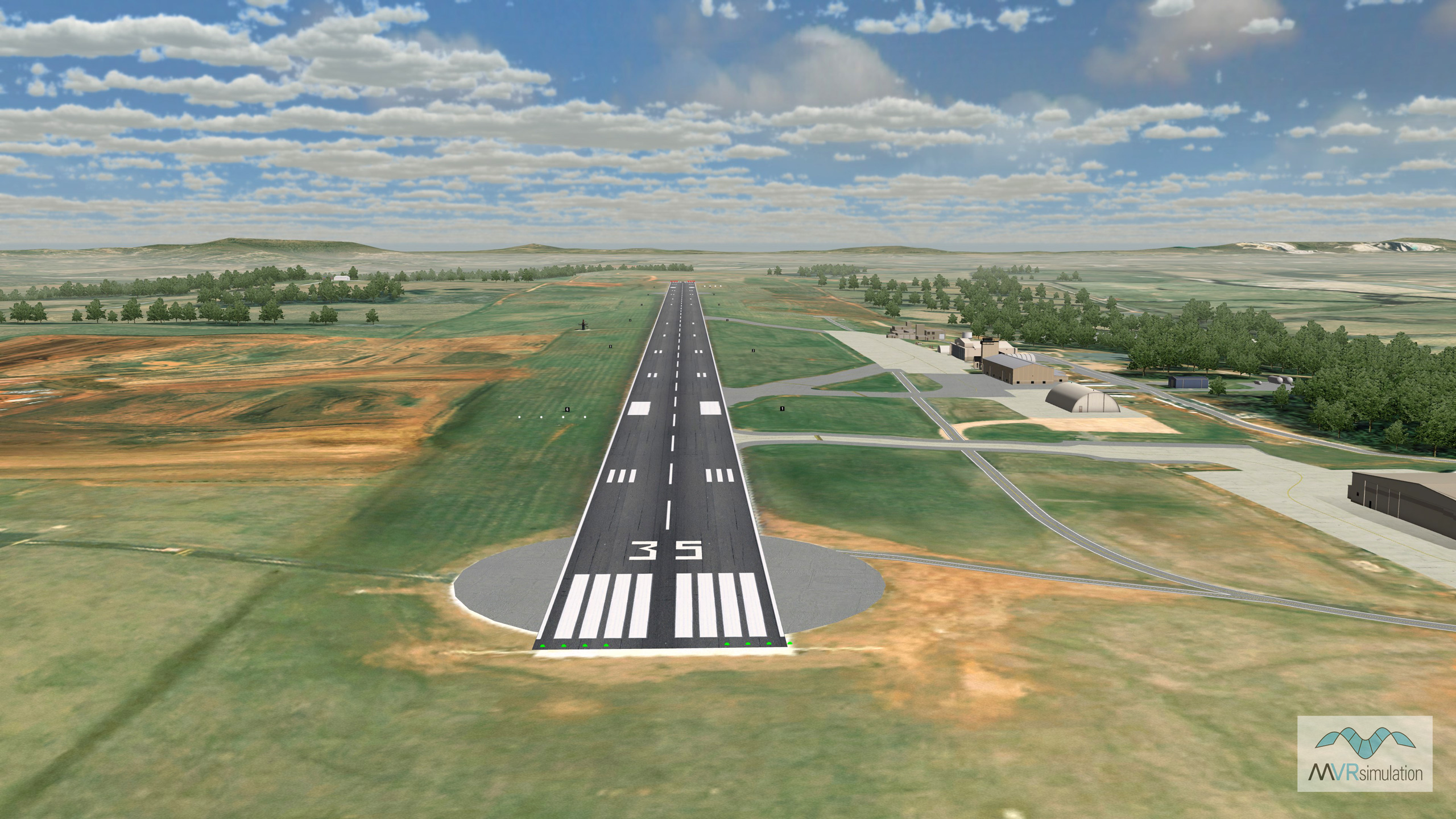
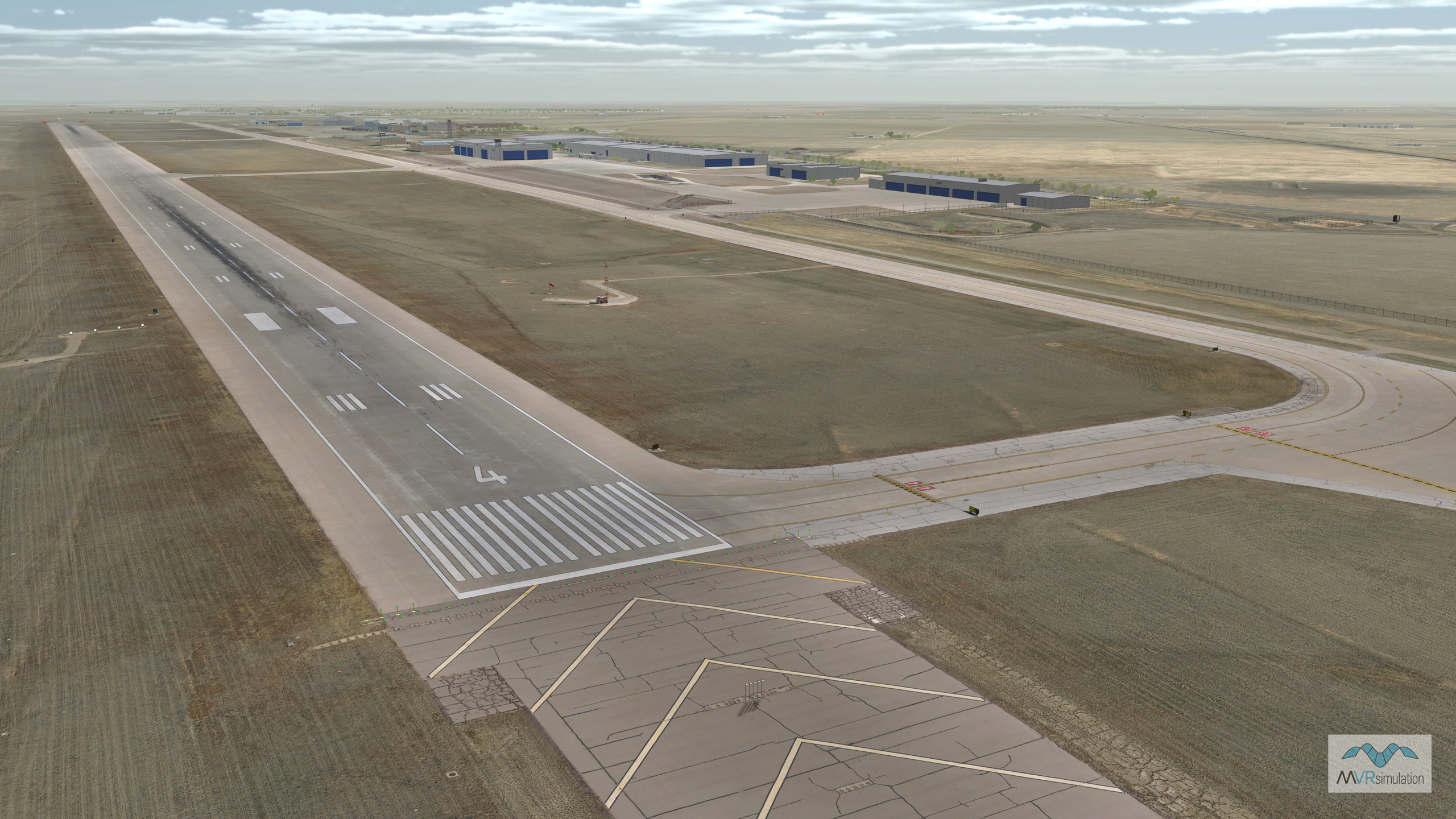
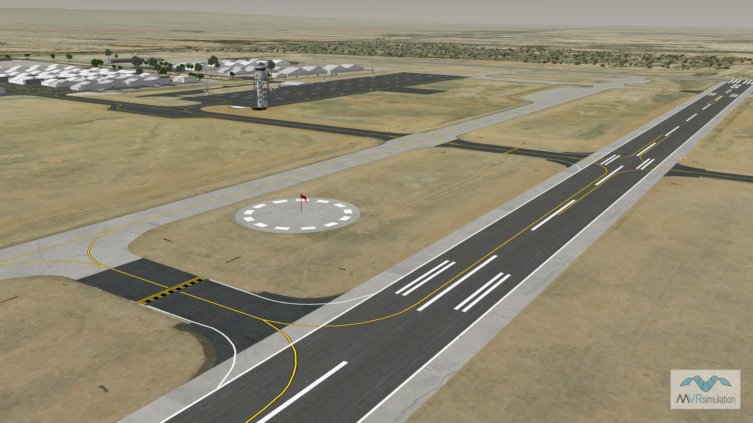
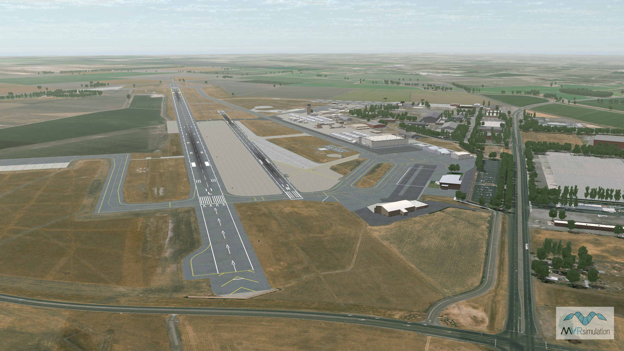
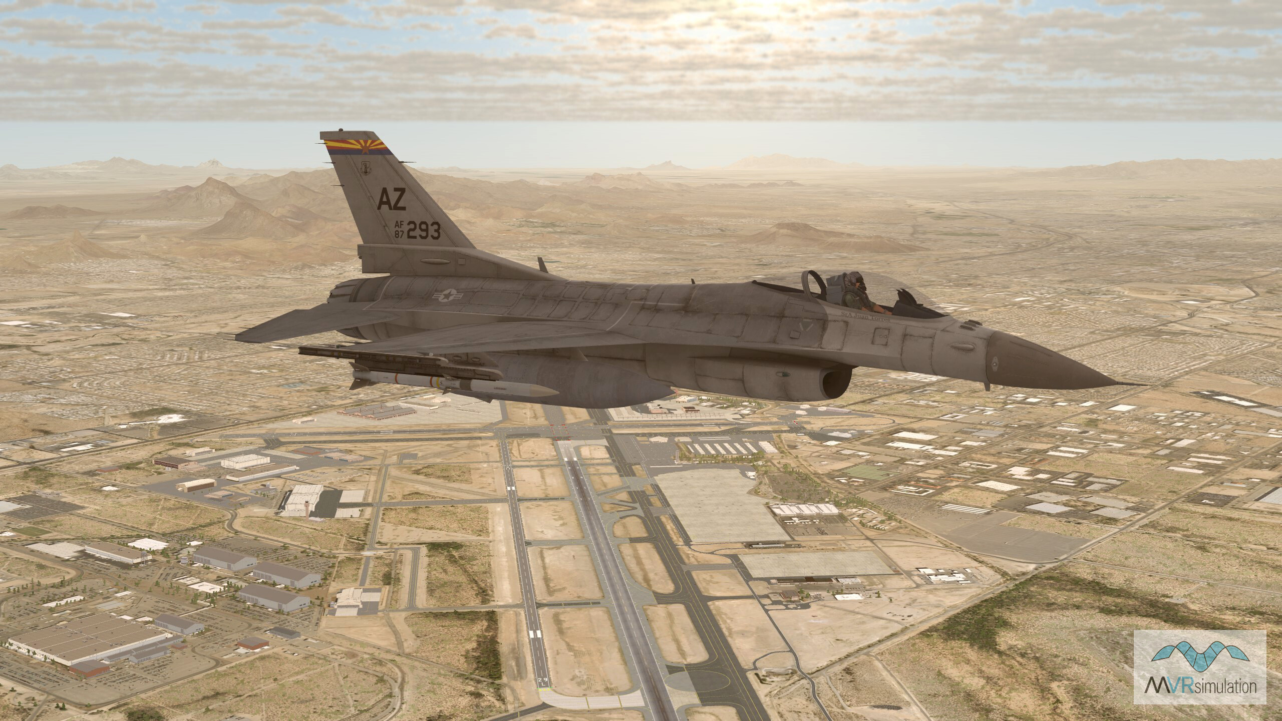
MVRsimulation has developed a collection of high-resolution virtual airports and airfields for use with VRSG. These airfields are integrated into MVRsimulation’s round-earth 3D terrain databases and feature high-resolution imagery seamlessly blended with the surrounding imagery. Each site is built with precision using MVRsimulation Terrain Tools for ArcGIS® Pro, ensuring accurate elevation data and alignment with real-world specifications. Cultural features, including runways, lights, markings, signs, control towers, terminals, and hangars, are geolocated and placed using MVRsimulation’s Scenario Editor. These models are included in MVRsimulation’s comprehensive VRSG 3D Model Library and can be either geotypical or geospecific, depending on the availability of reference imagery.
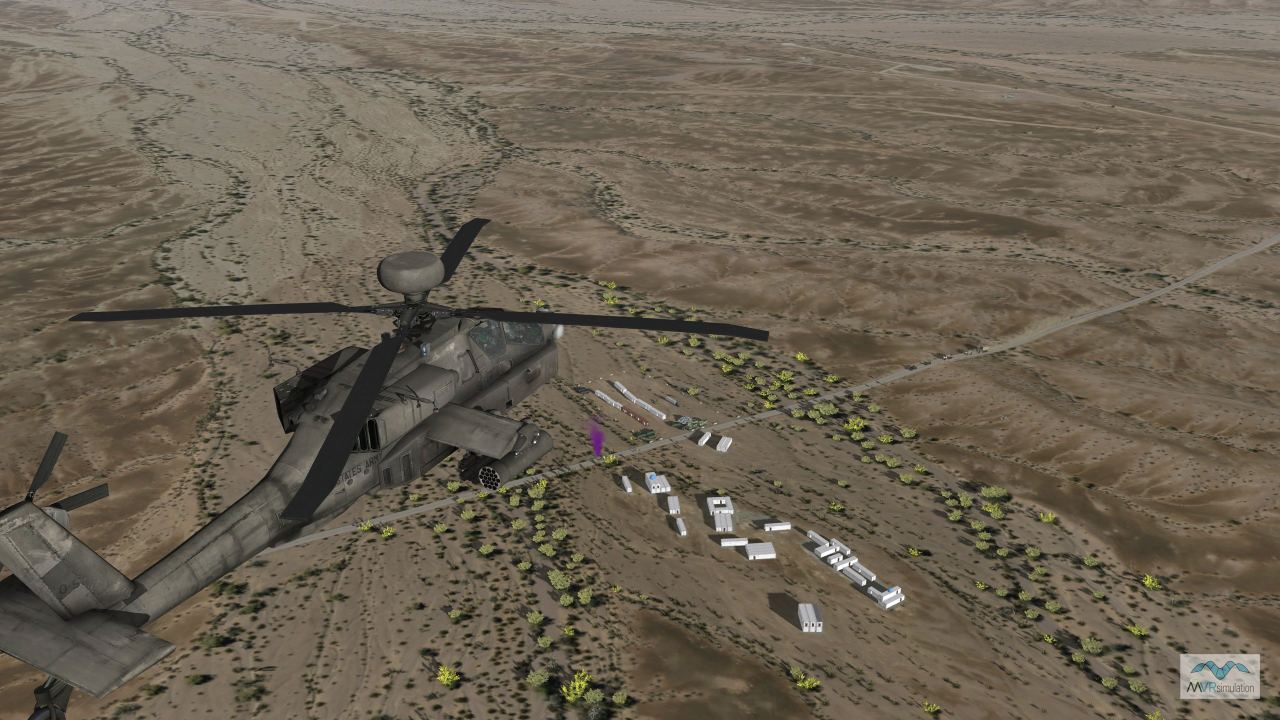
Many airfields have been developed in response to customer requests and include custom structures modeled from publicly available photographs. MVRsimulation continuously updates its 3D terrain as new data becomes available or upon customer request. Customers with active VRSG software maintenance can download available airfields from the MVRsimulation Downloads Server or request a downloads account.