
Taiwan Terrain Database Information
- Imagery: 50cm
- Elevation: SRTM 30m
- Terrain Drive: Asia & Middle East
- Includes Penghu Islands and Green Island
- Cultural Features: Trees
Tile Coverage Map
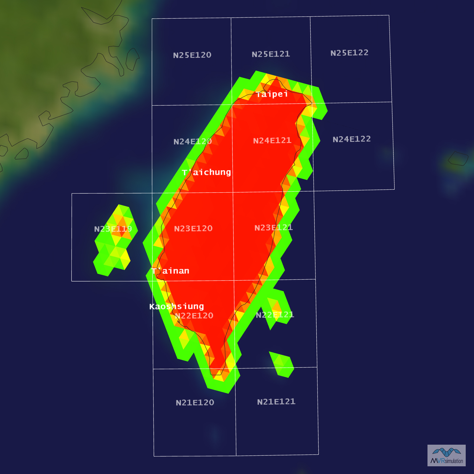
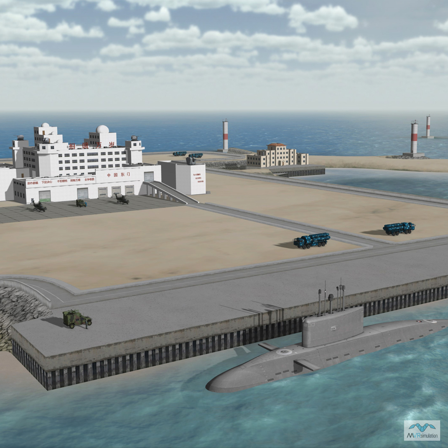
3D Modeled & High-resolution Areas of Interest
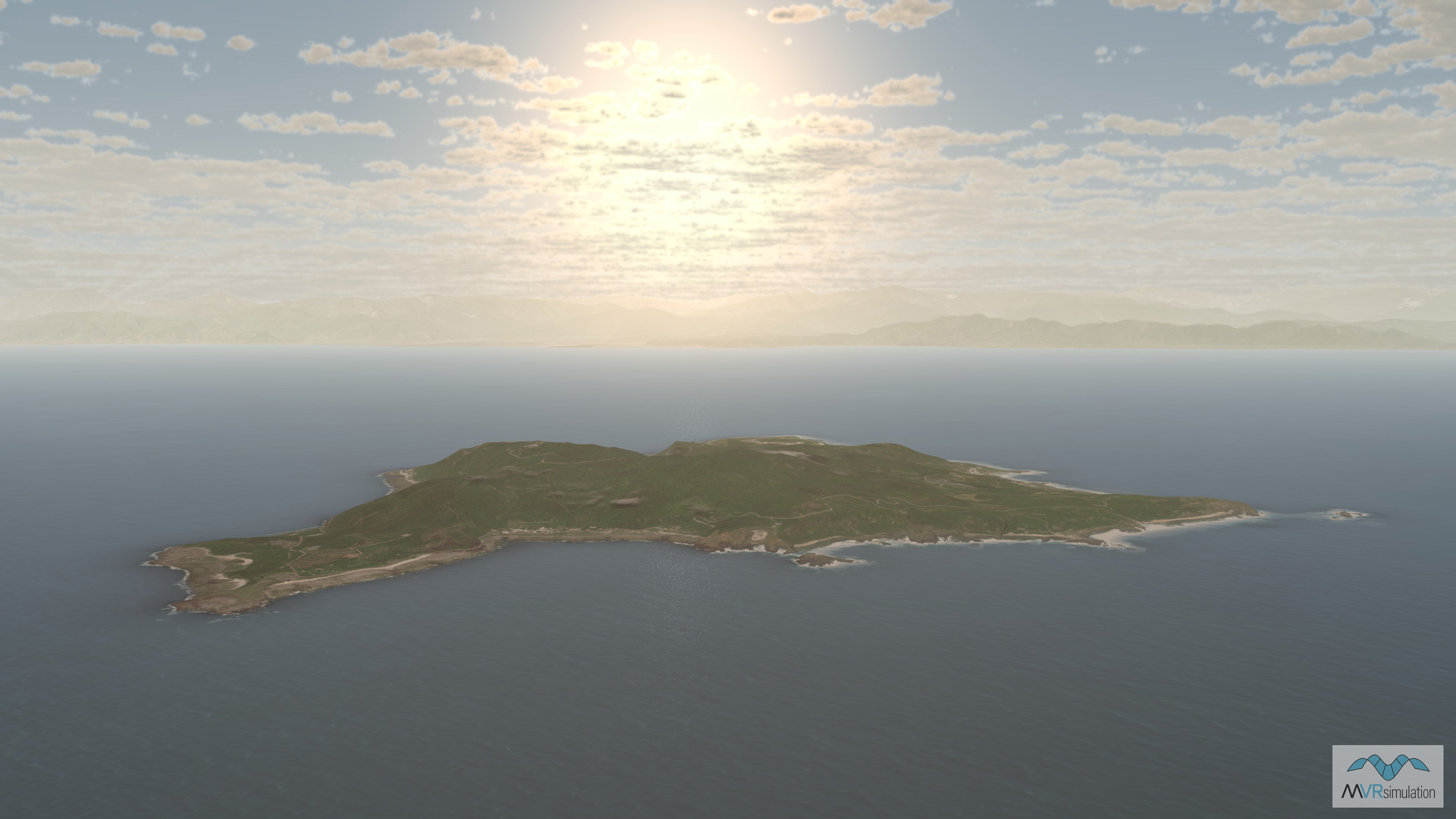
Green Island which is located southeast of Taiwan is part of the Taiwan terrain database.

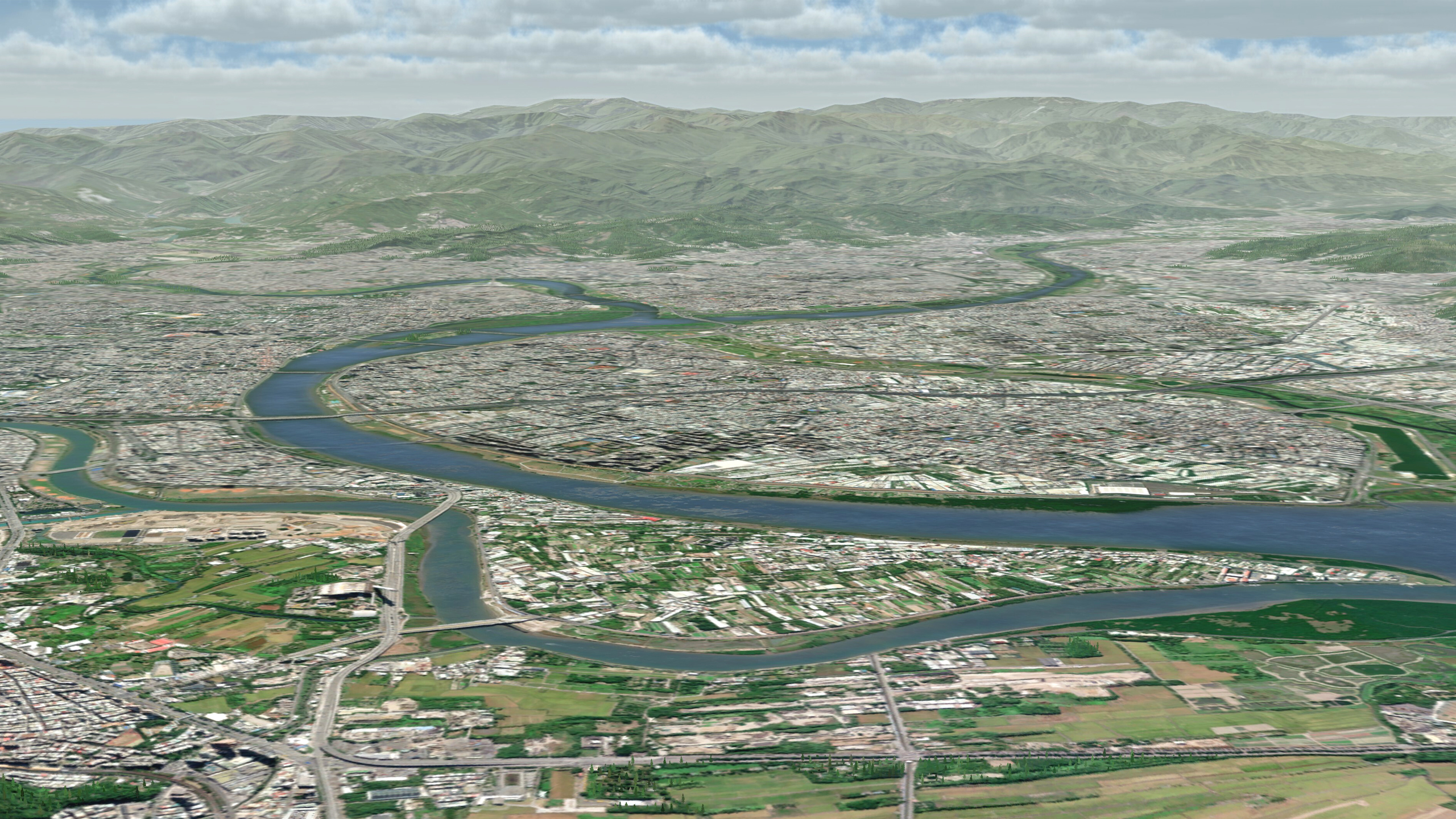
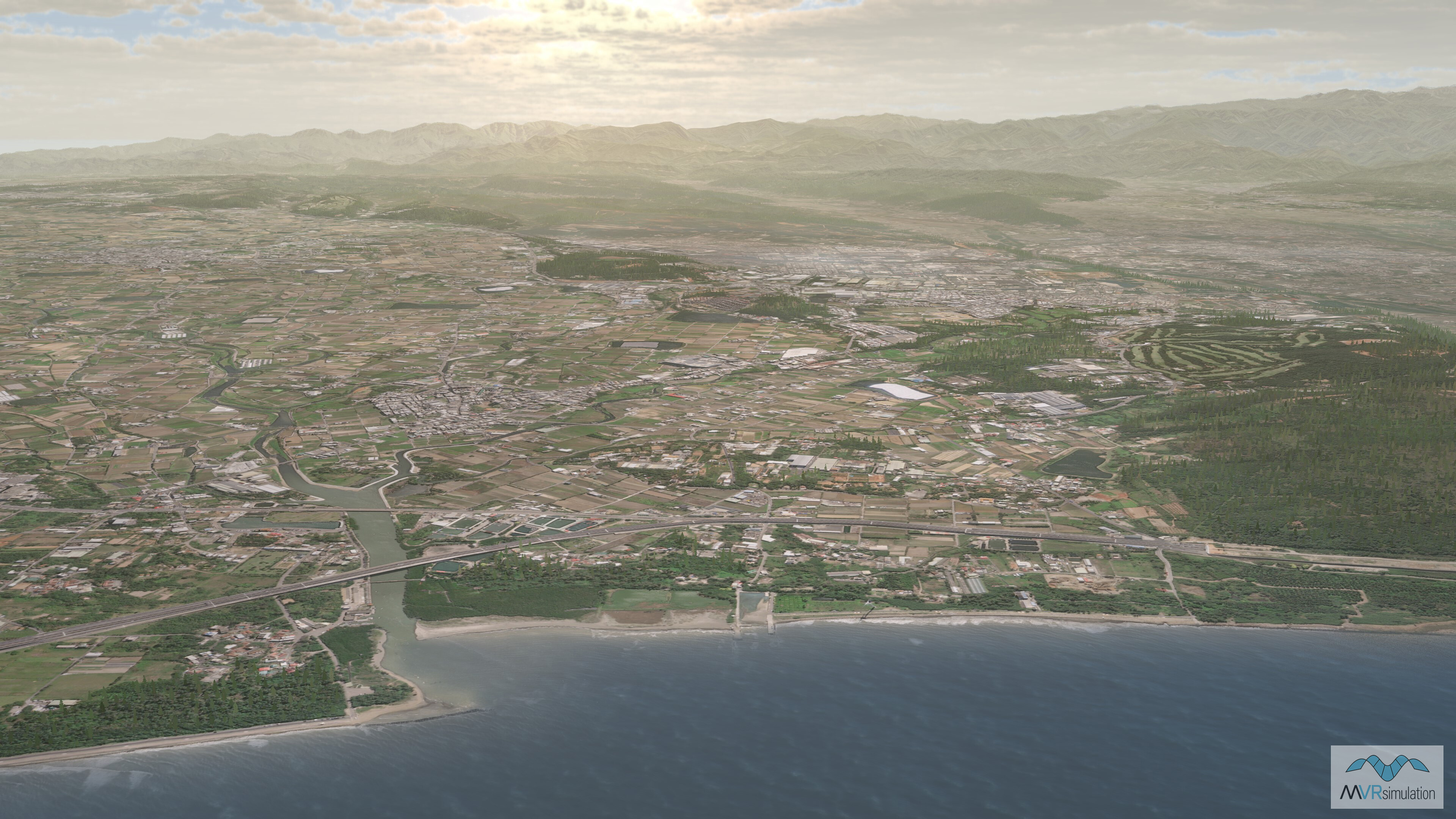
High-resolution Taiwan terrain with coastal bathymetry.
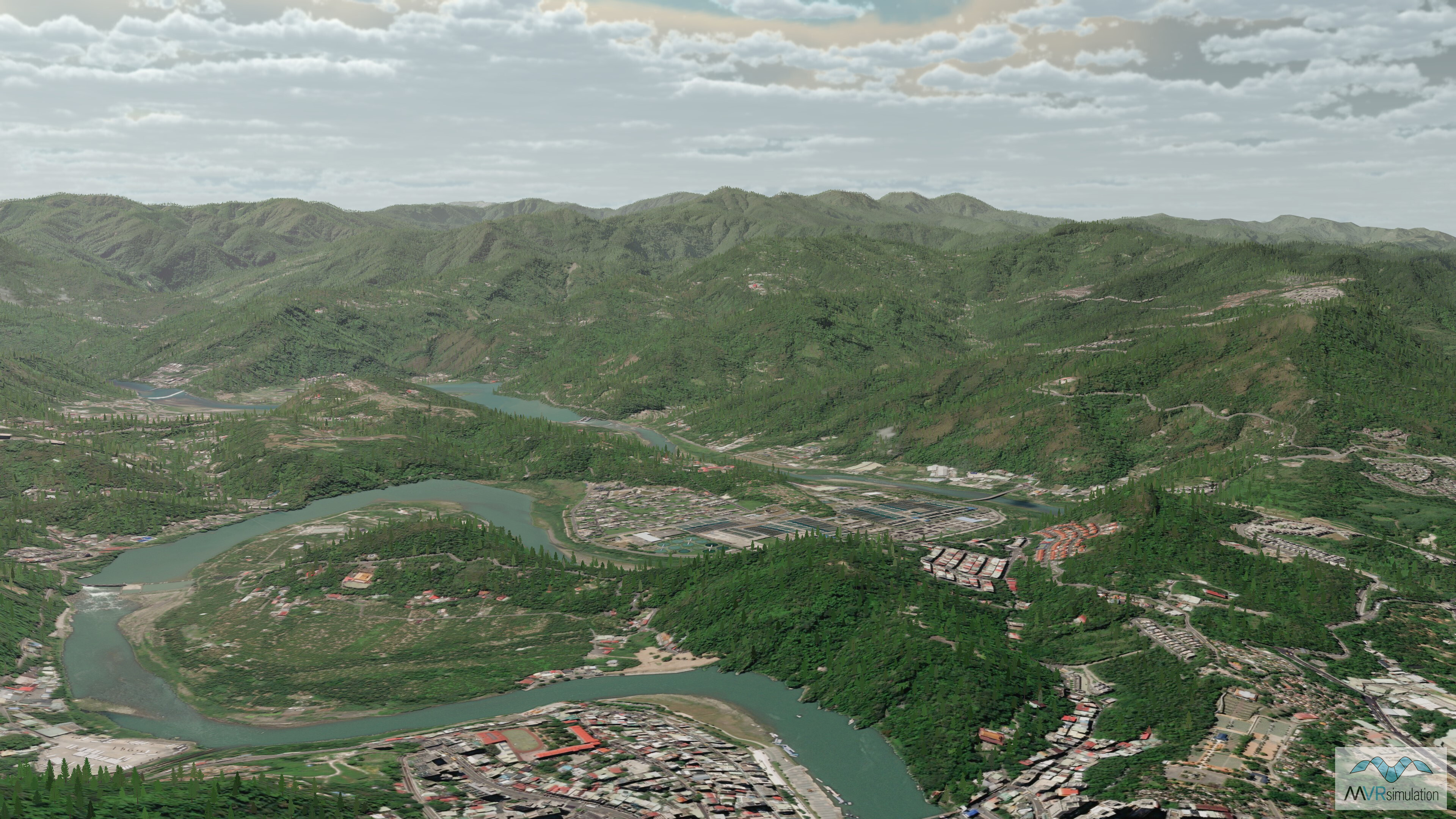
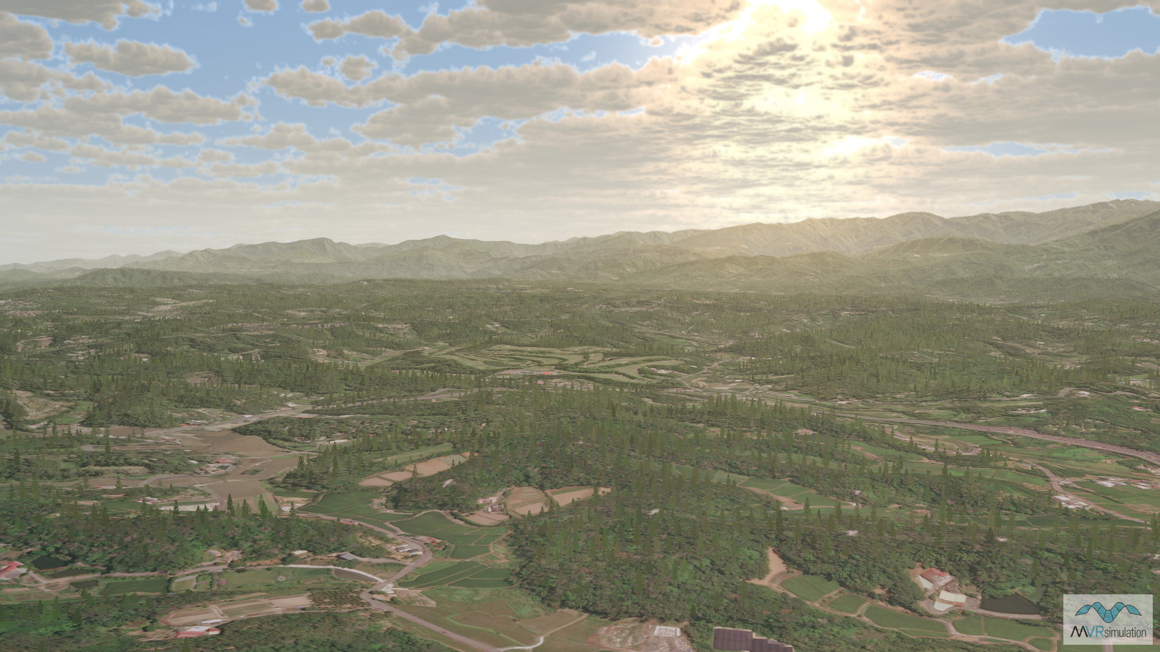
Mountainous terrain in the Taiwan terrain database.
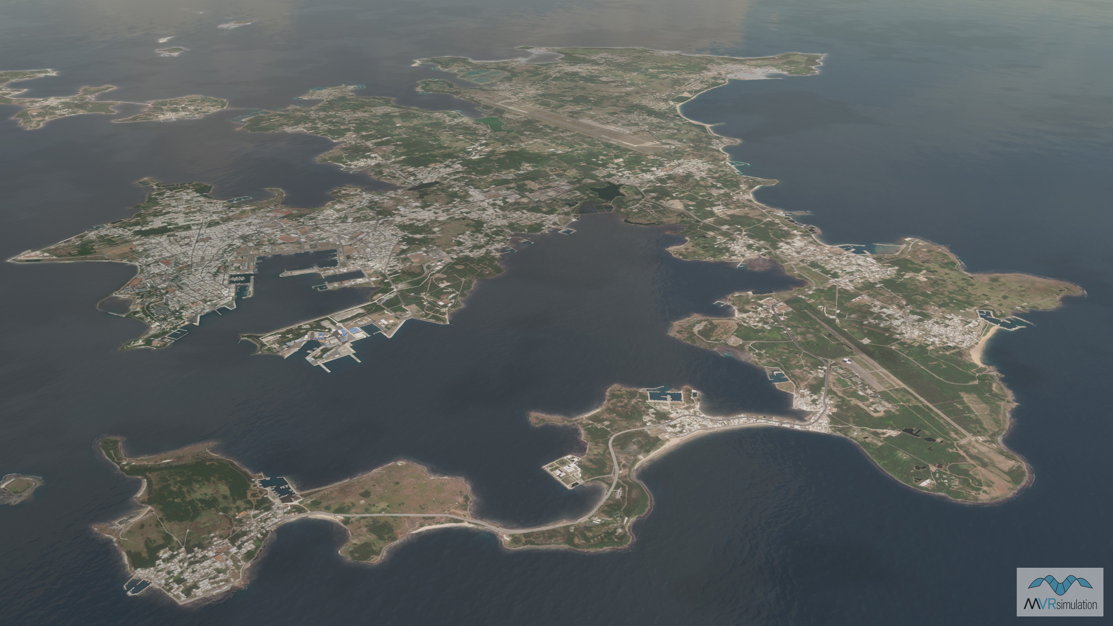
The Penghu Islands, located 50km off the coast of Taiwan, are part of the Taiwan terrain database.
The Taiwan terrain database includes 3D tree models populated from MVRsimulation's 3D Model Library.
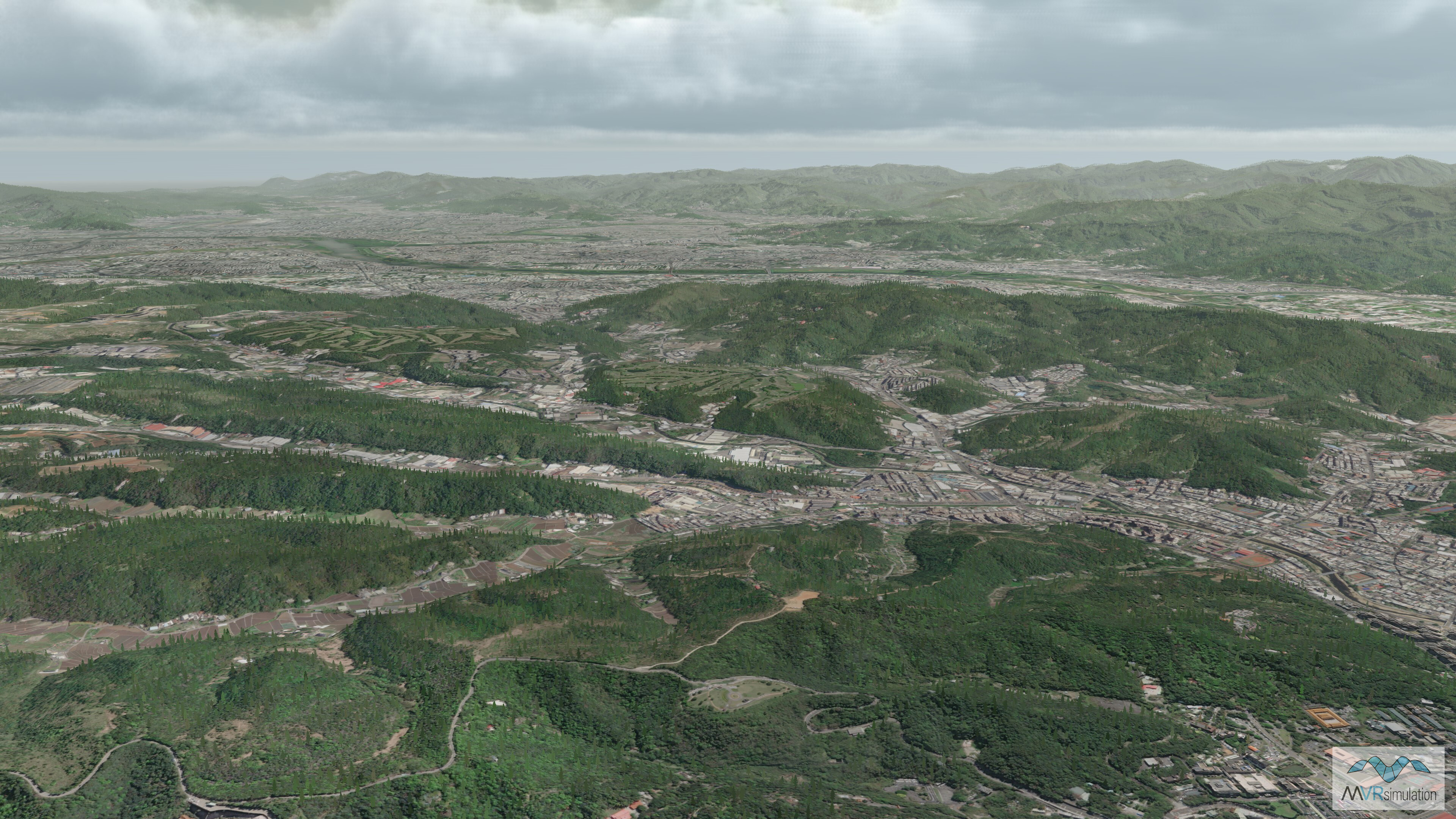
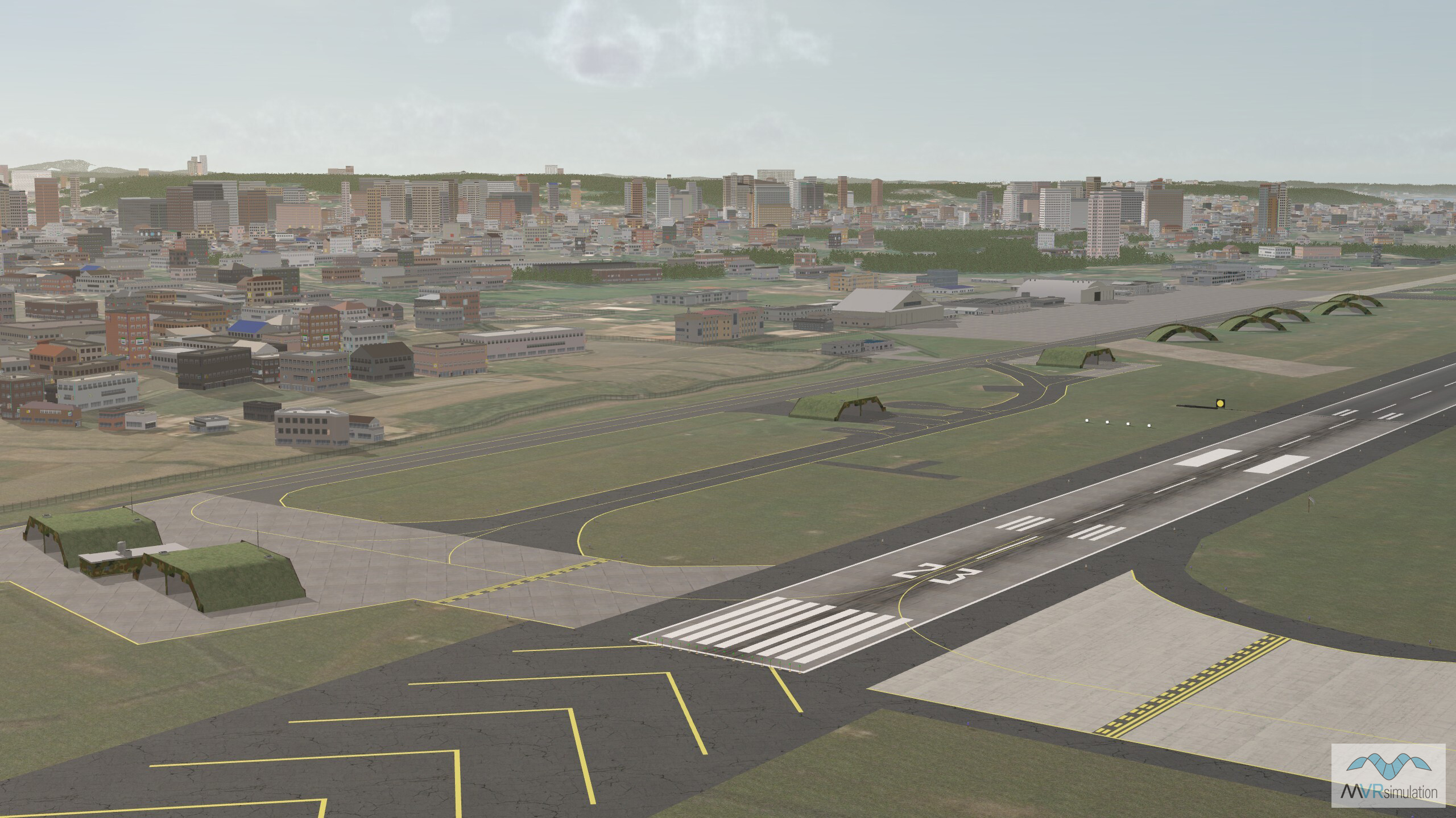
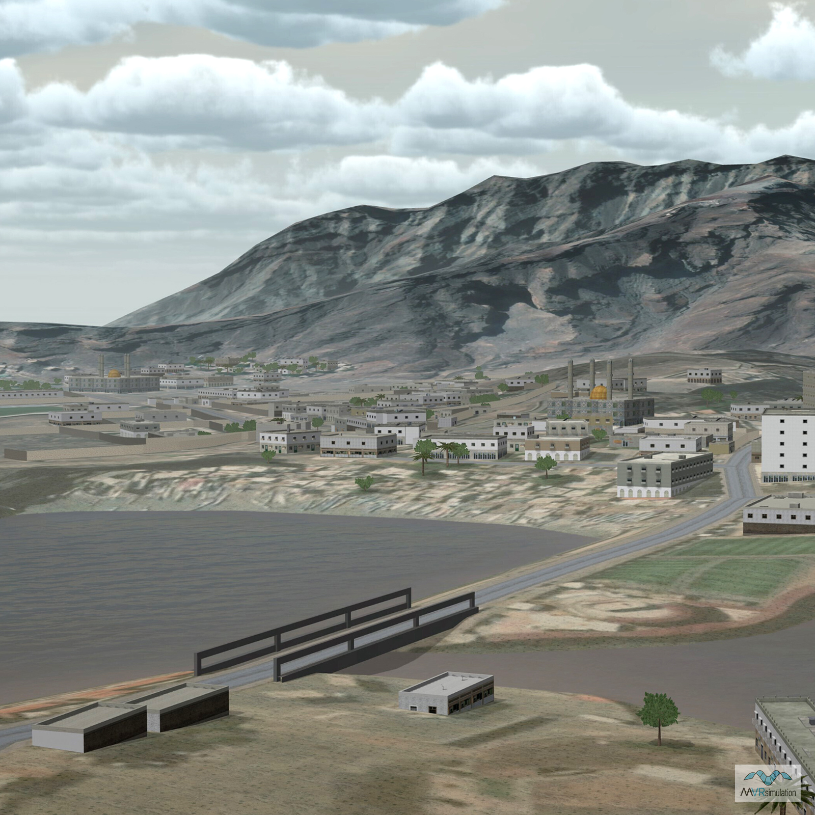
Imagery of urban areas of the Taiwan terrain database.


EXTEND YOUR TERRAIN DATABASE
MVRsimulation Downloads Server
- Explore and implement terrain updates
- Download and use new 3D models
- Stay up-to-date with VRSG features
- Discover utilies for expanding VRSG

MVRsimulation Regional Terrain Drives
- External hard drive - regional terrian
- Network attached storage device - whole-world terrain
- Ready for plug and play
- Available to customers on active maintenance
MVRsimulation Produced Custom Terrain
- Custom terrain created by MVRsimulation's terrain team
- Specify your desired area of interest
- Indentify needed terrain features.
- Use your own or commercially available imagery
Create Terrain with Terrain Tools
- Build real-time 3D terrain for VRSG using GIS technology with ArcGIS Pro
- Designed to be user-friendly for users with basic ArcGIS knowledge
- Use imagery, elevation, and optional vector data to create terrain
- Compile buildings from 2D polygon footprint features using a CityEngine rule package