Luke Air Force Base Terrain Database Information
- Imagery: 24cm -50cm imagery of Luke airfield, Luke AFB facilities, Barry M. Goldwater Range, and Phoenix Metro area
- Elevation: 1 arcsecond (30 mpp) National Elevation Data (NED), blended into DTED for seamless transition to CONUS 1m. Custom elevation model of Luke airfield that matches FAA airfield elevations with at least 95% accuracy
- Terrain Drive: CONUS Southwest
- Cultural Features: Custom Models (Geospecific Buildings), Hangars, Lighting for Non-Runway Areas (Streetlights), Runway, Runway Lights, Signs, Trees, Vehicles (Trucks, Cars, Military Equipment, etc.)
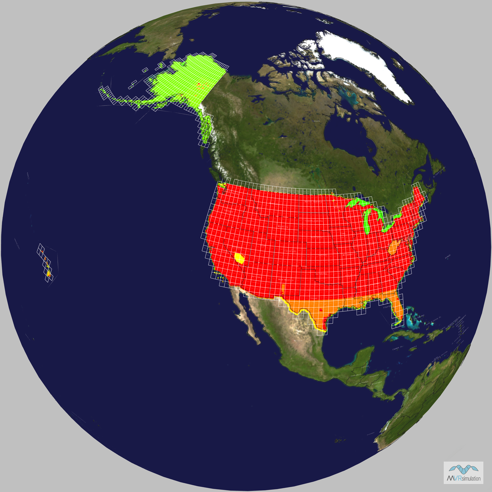
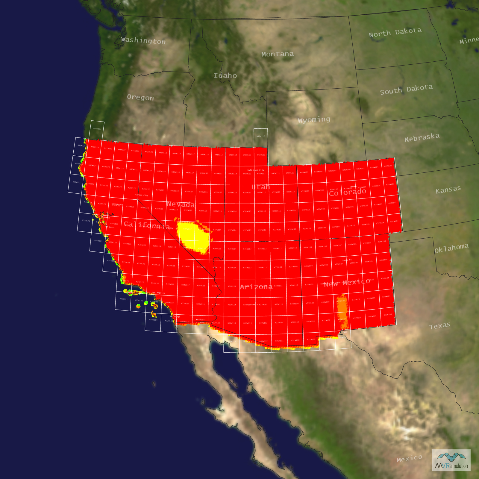
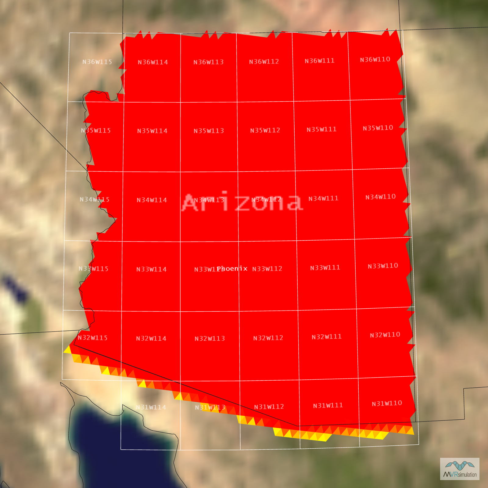
Tile Coverage Map
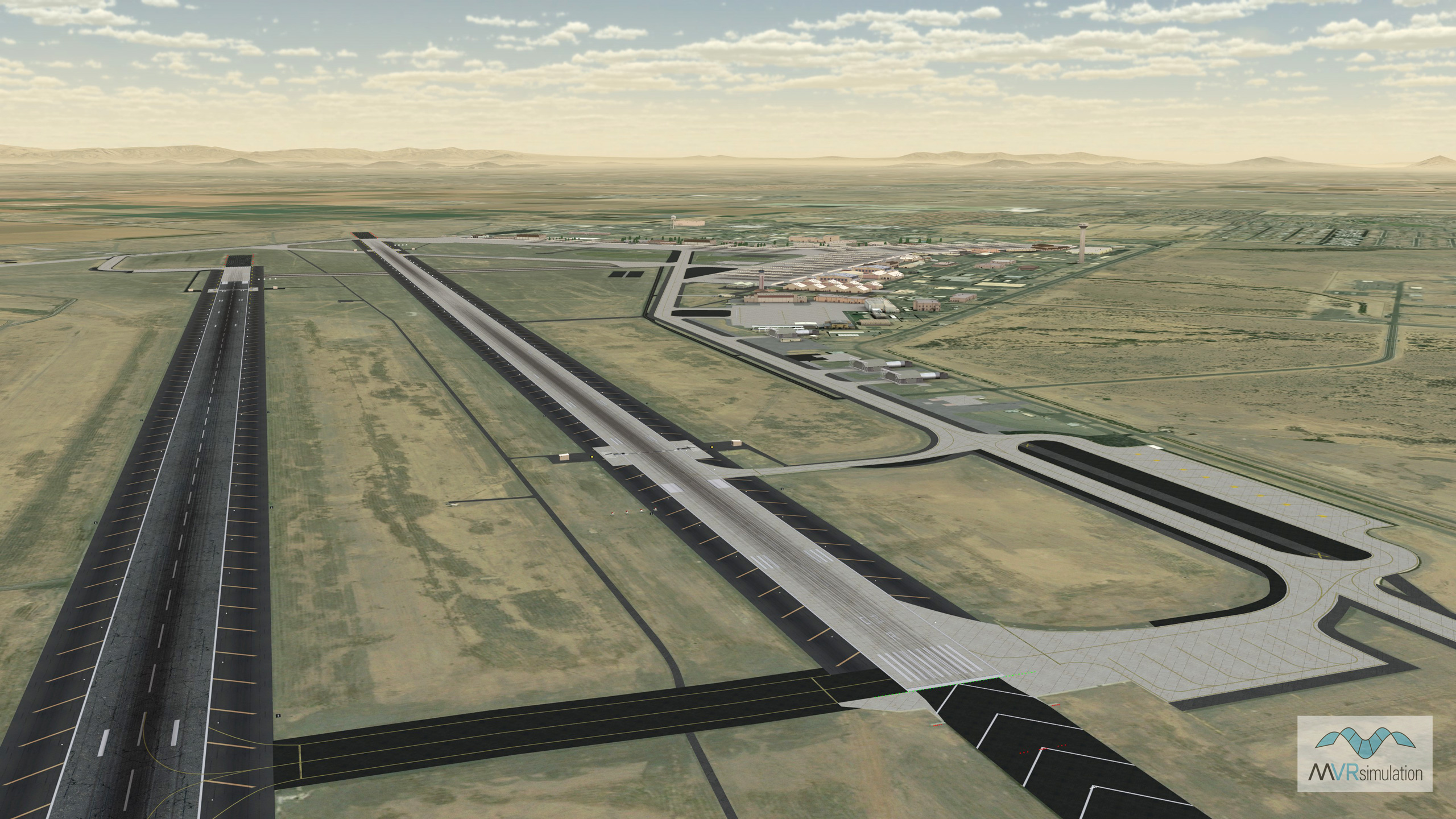
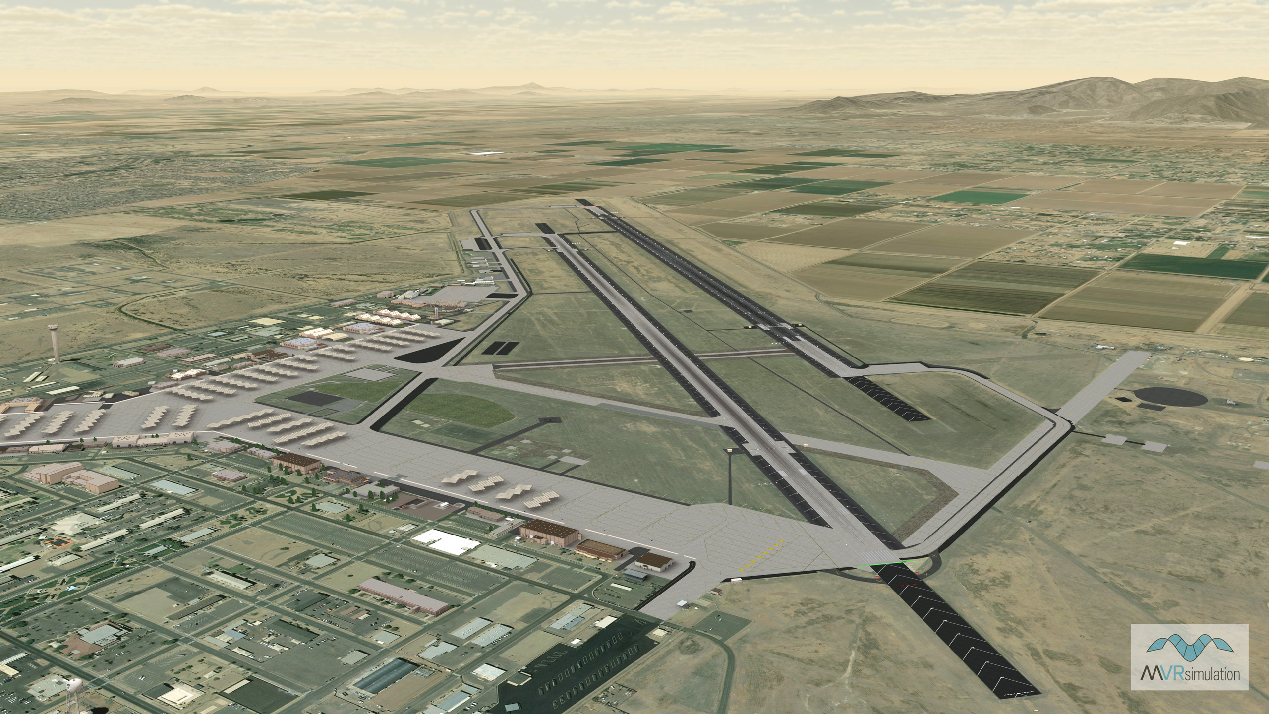
Virtual Luke Air Force Base (KLUF) runway area with 104 high-resolution, geolocated models of hangars, offices, storage facilities, and other structures.
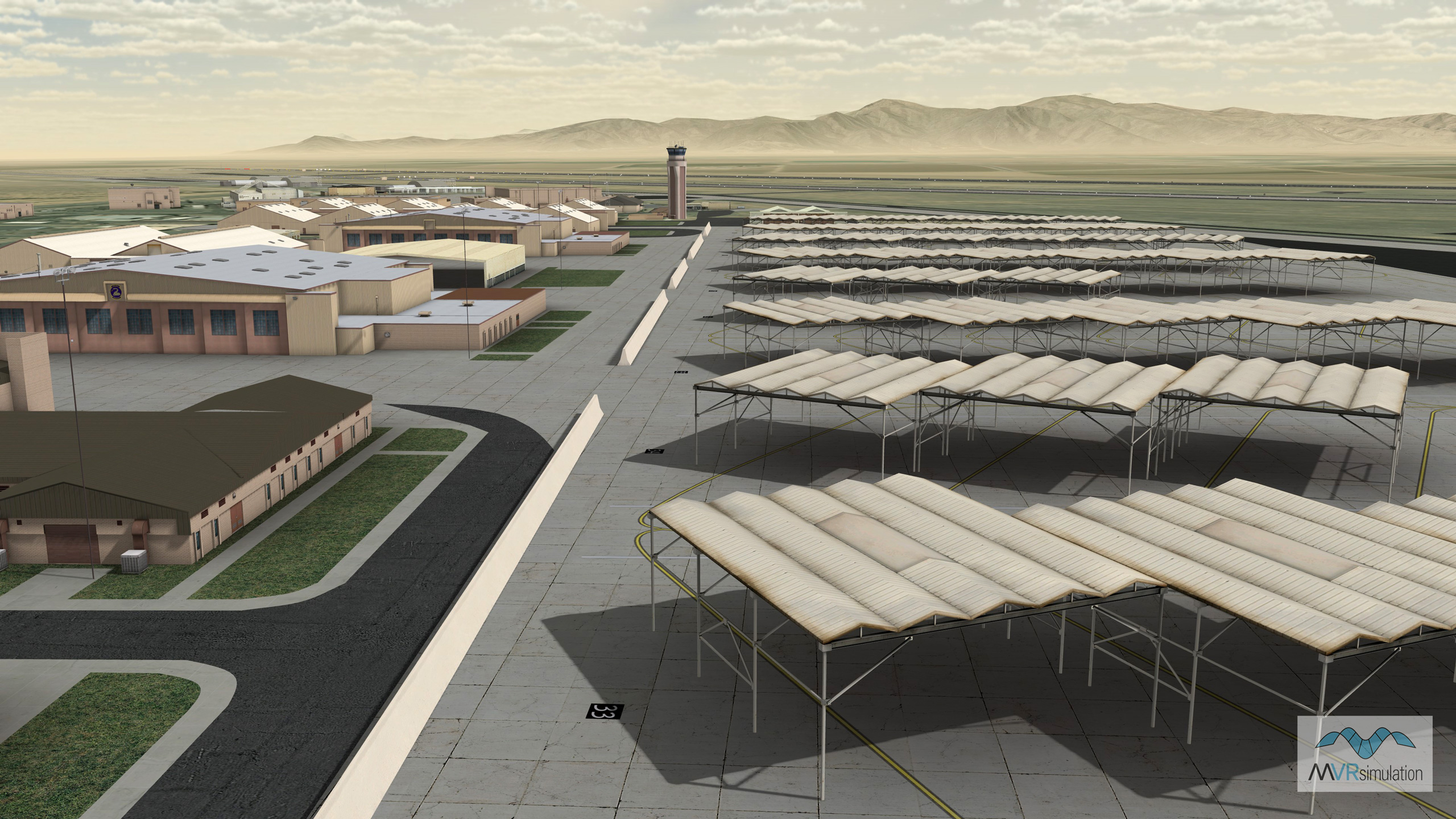
MVRsimulation VRSG flight-line scene at the airfield on the virtual Luke Air Force Base with 104 high-resolution, geolocated models of hangars, offices, storage facilities, and other structures.
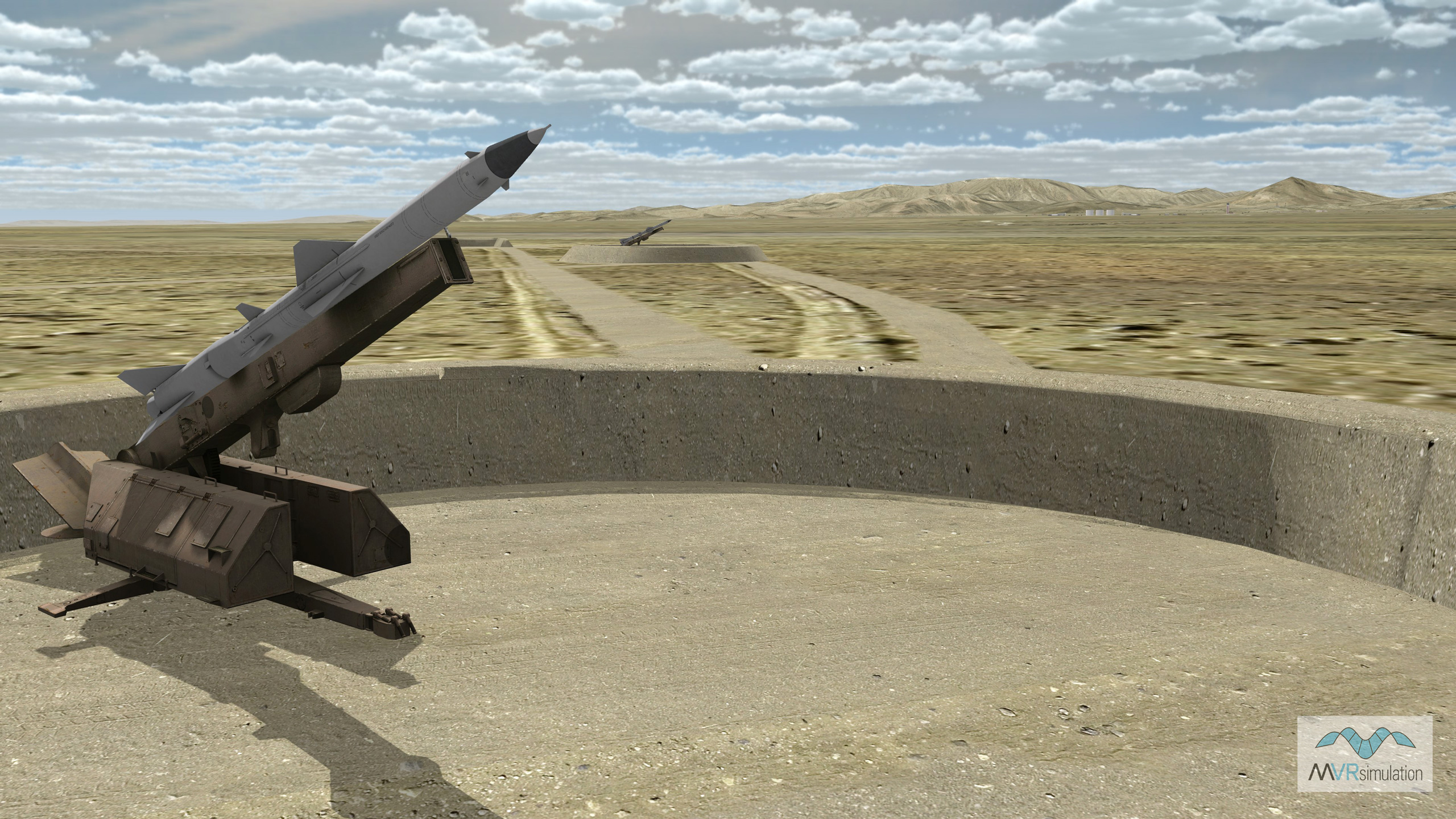
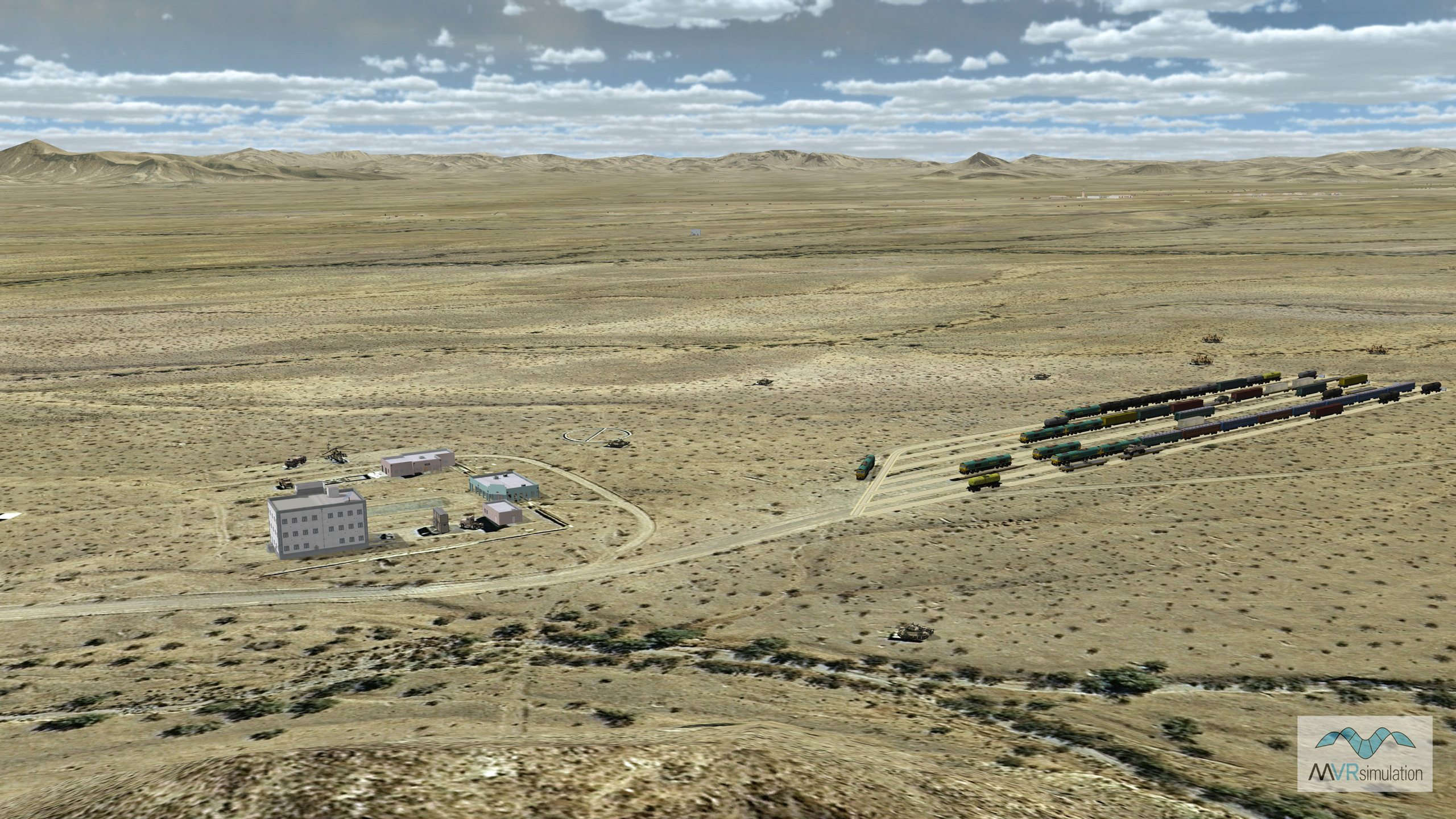
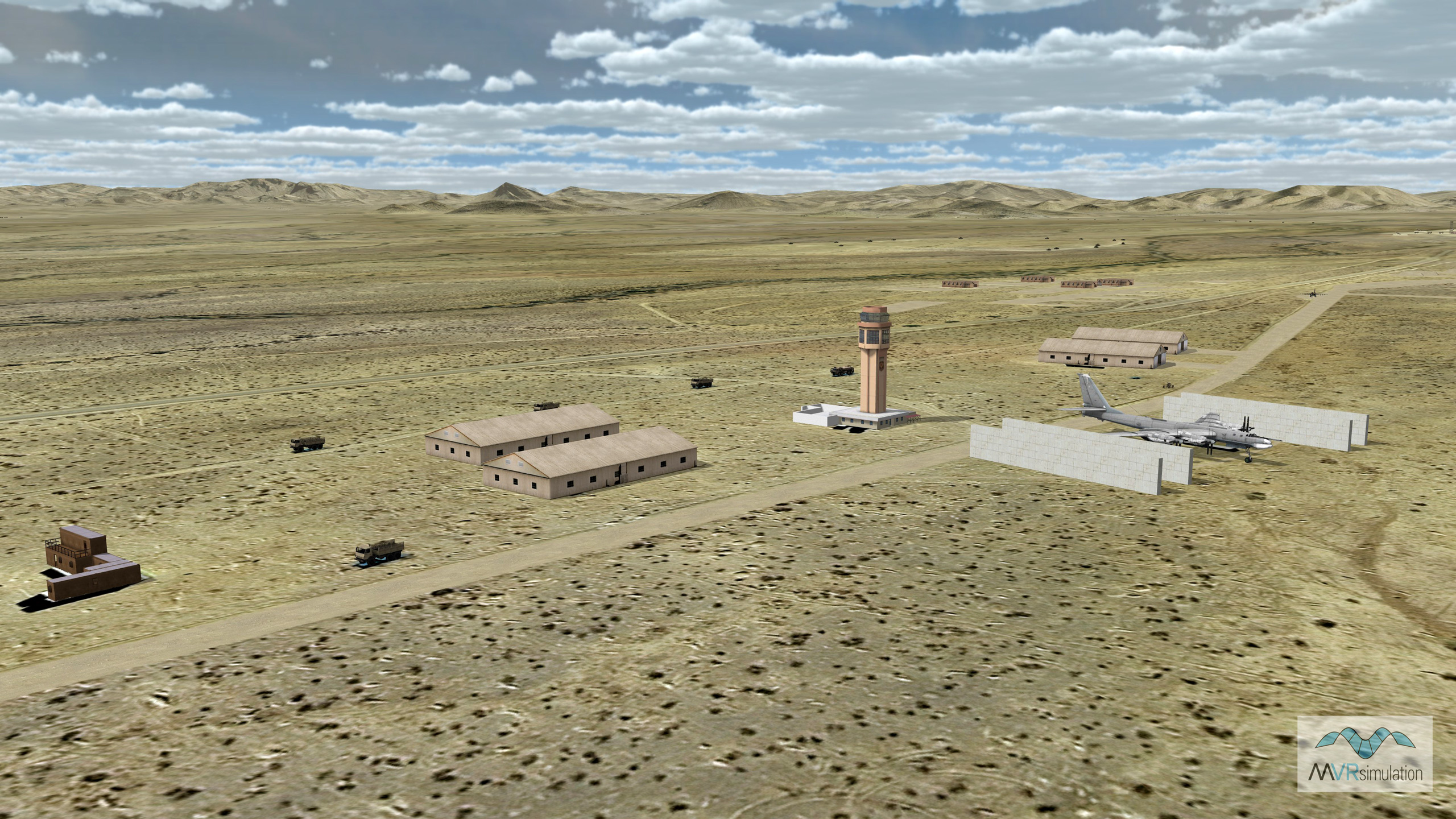
MVRsimulation VRSG real-time scene of the virtual Barry M. Goldwater Range terrain with models of modern mobile surface-to-air and radar systems. Terrain culture includes 573 models of structures and targets located on the East Tactical Range (ETAC). These models were geolocated on footprints where target mockups are located on the actual range.
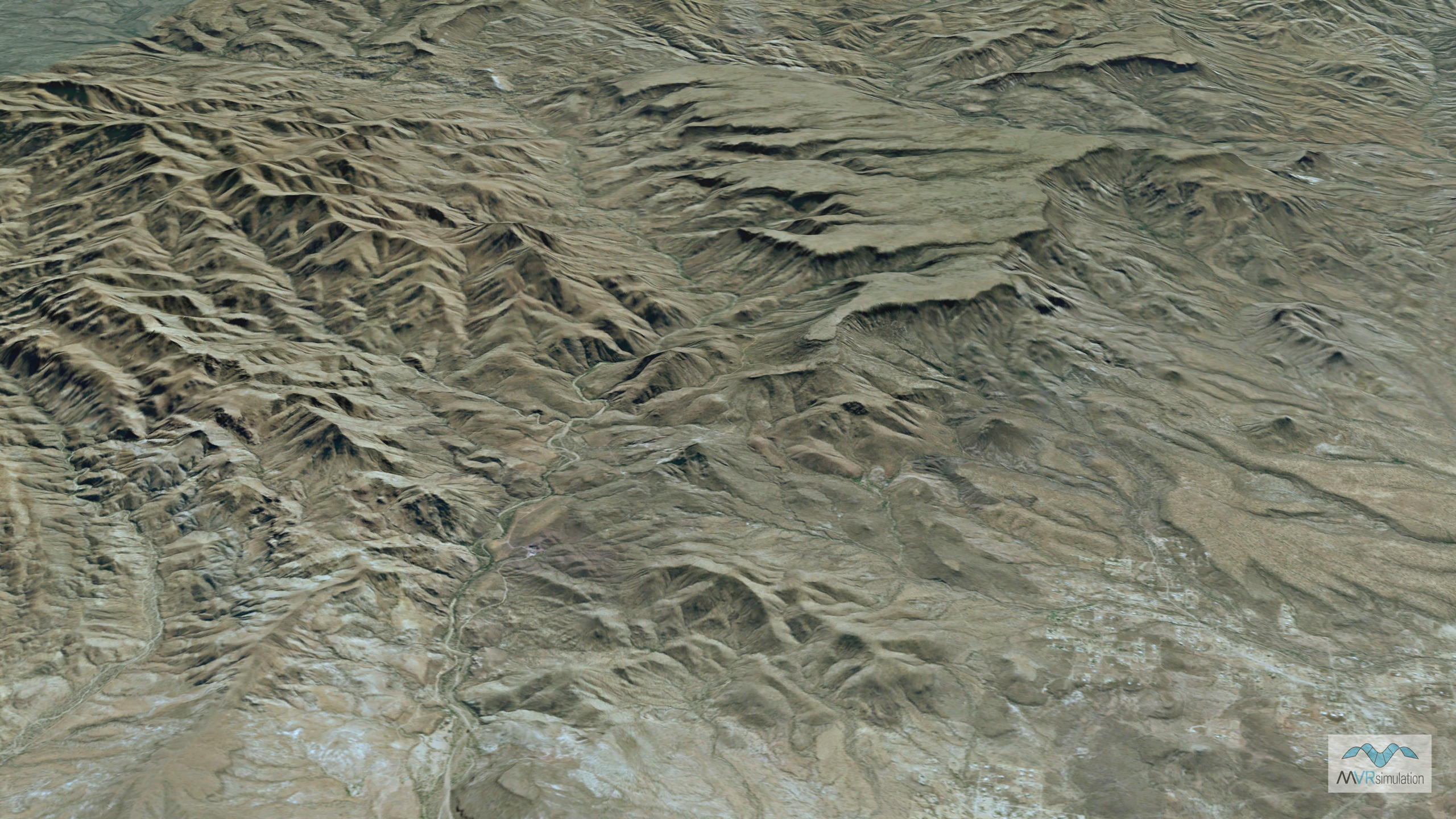
MVRsimulation VRSG real-time scene of the rugged virtual terrain of the Barry M. Goldwater Range.
MVRsimulation VRSG real-time scene of virtual Barry M. Goldwater Range terrain with models of modern mobile surface-to-air and radar systems. Terrain culture includes 573 models of structures and targets located on the East Tactical Range (ETAC). These models were geolocated on footprints where target mockups are located on the actual range.
Barry M. Goldwater Range
MVRsimulation developed geospecific 3D terrain of the Barry M. Goldwater Range (BMGR), located near the US-Mexico border. The terrain was built using MVRsimulation’s round-earth VRSG terrain format and Terrain Tools for Esri® ArcGIS®. It was delivered to Luke Air Force Base to support upgrades for its F-16 full-mission training simulators. At the F-16 Networked Training Center, pilots use MVRsimulation's Virtual Reality Scene Generator (VRSG) and 3D content across multiple dome-based simulators to virtually take off from airfields and conduct missions over the BMGR.
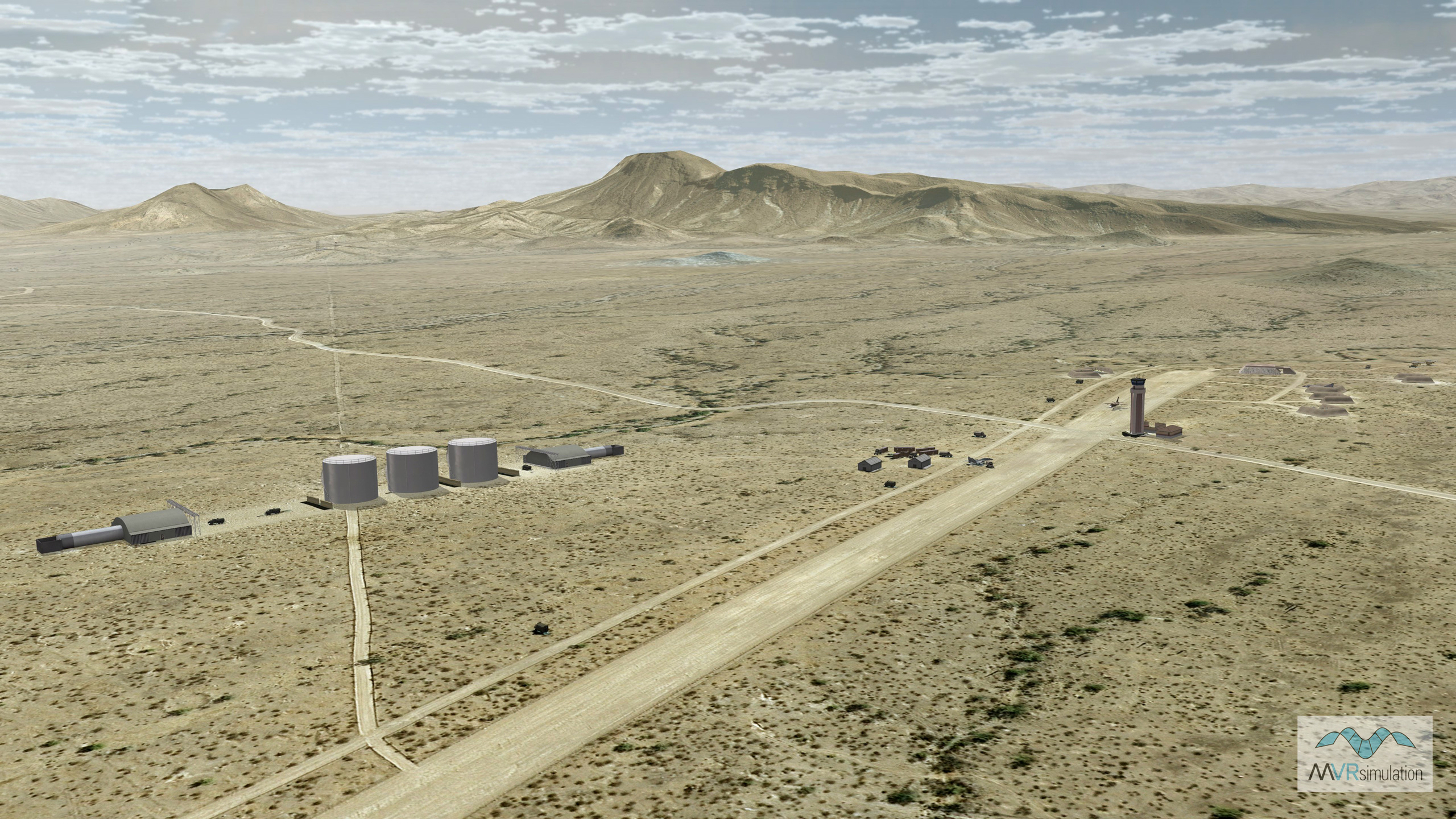
The BMGR terrain includes detailed cultural features such as structures and targets located on the East Tactical Range (ETAC), airfield structures at Gila Bend Auxiliary Airfield, and an array of realistic ground targets. These targets include obsolete military vehicles, aircraft, and full-scale replicas of threat systems like SAMs, tanks, anti-aircraft artillery, and tactical ballistic missiles. Using MVRsimulation’s 3D military model libraries and VRSG cultural feature files, instructors can customize scenarios by swapping entities to represent various real-world threats, enhancing the realism and adaptability of air-to-ground ordnance training exercises.