
MVRsimulation VRSG real-time scene of virtual Lancaster Airport (KLNS), PA.
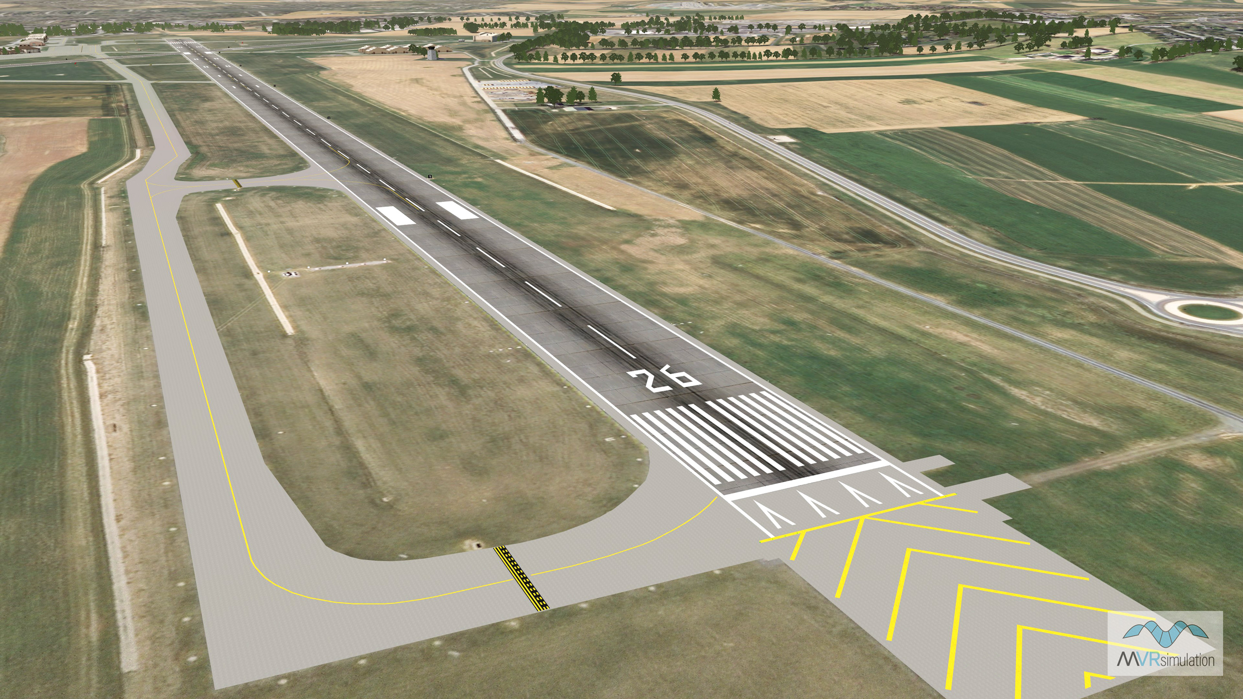
MVRsimulation VRSG real-time scene of virtual Lancaster Airport (KLNS) runway area with a geospecific control tower and other cultural content.
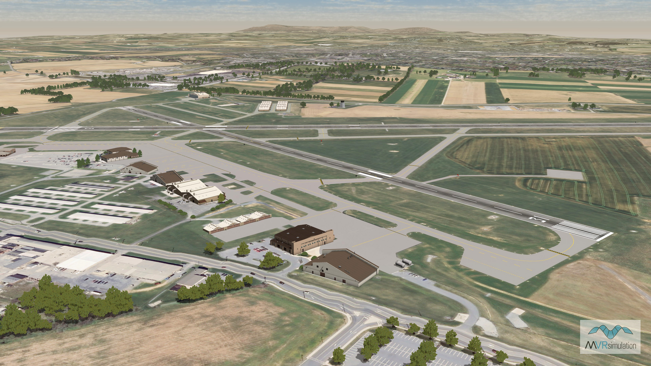
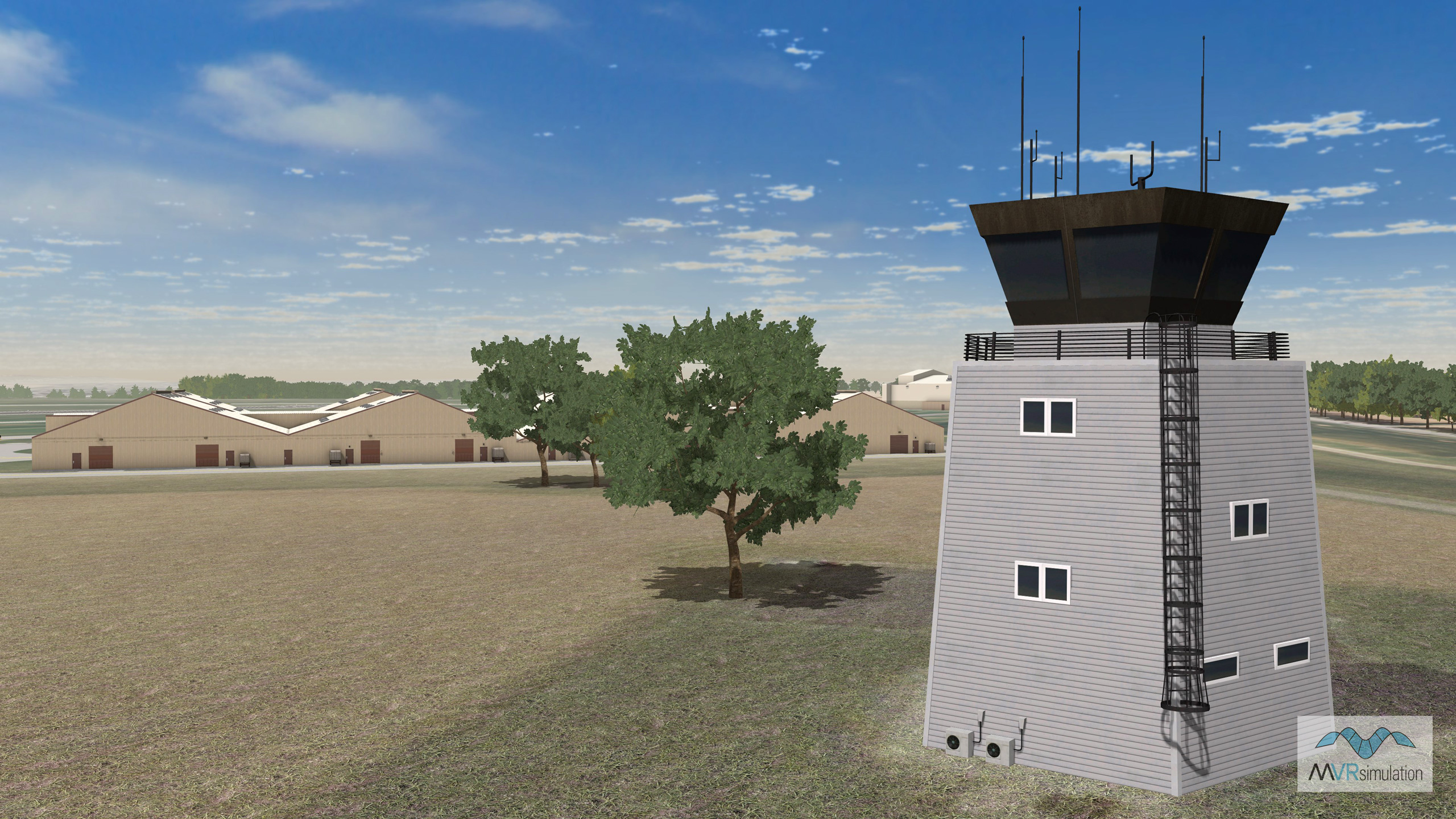
MVRsimulation VRSG real-time scene of virtual Lancaster Airport (KLNS) with a geospecific control tower and other cultural content.
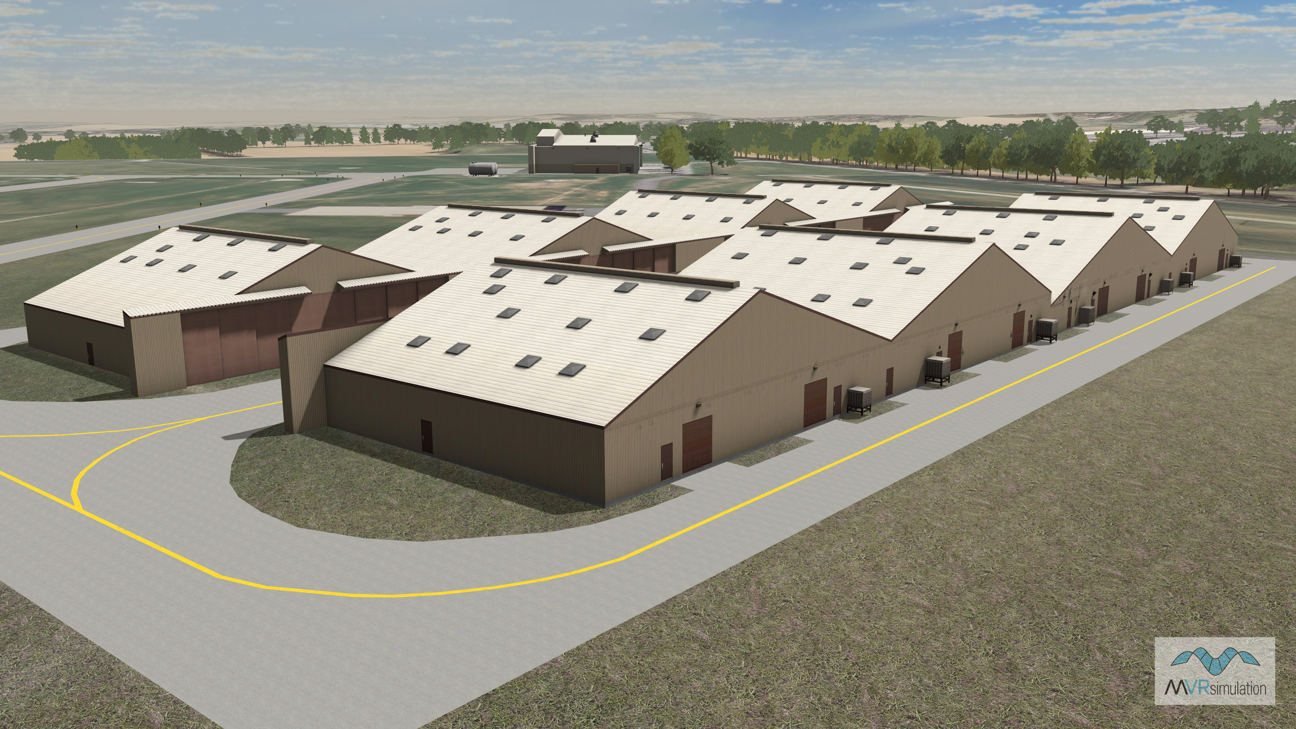
MVRsimulation VRSG real-time scene of virtual Lancaster Airport (KLNS) with a geospecific control tower and other cultural content.
- Imagery - 30 cm per pixel blended into 1 mpp imagery surrounding the area
- Elevation - Interpolated NED 1/9 (3m), DTED1, and custom elevation to match FAA airfield elevations with at least 95% accuracy
- Cultural features - Runway, runway lights, geospecific control tower, light points, hangars, fuel tanks, windsocks, antennas, taxiway models, DTG signs, airport lighting, and geotypical volumetric trees