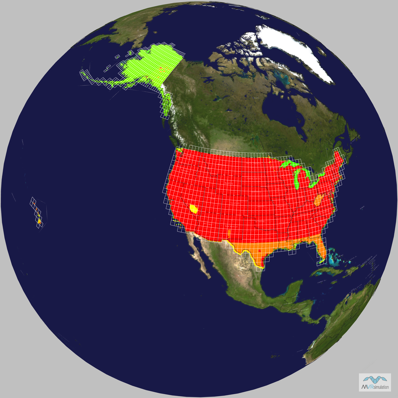
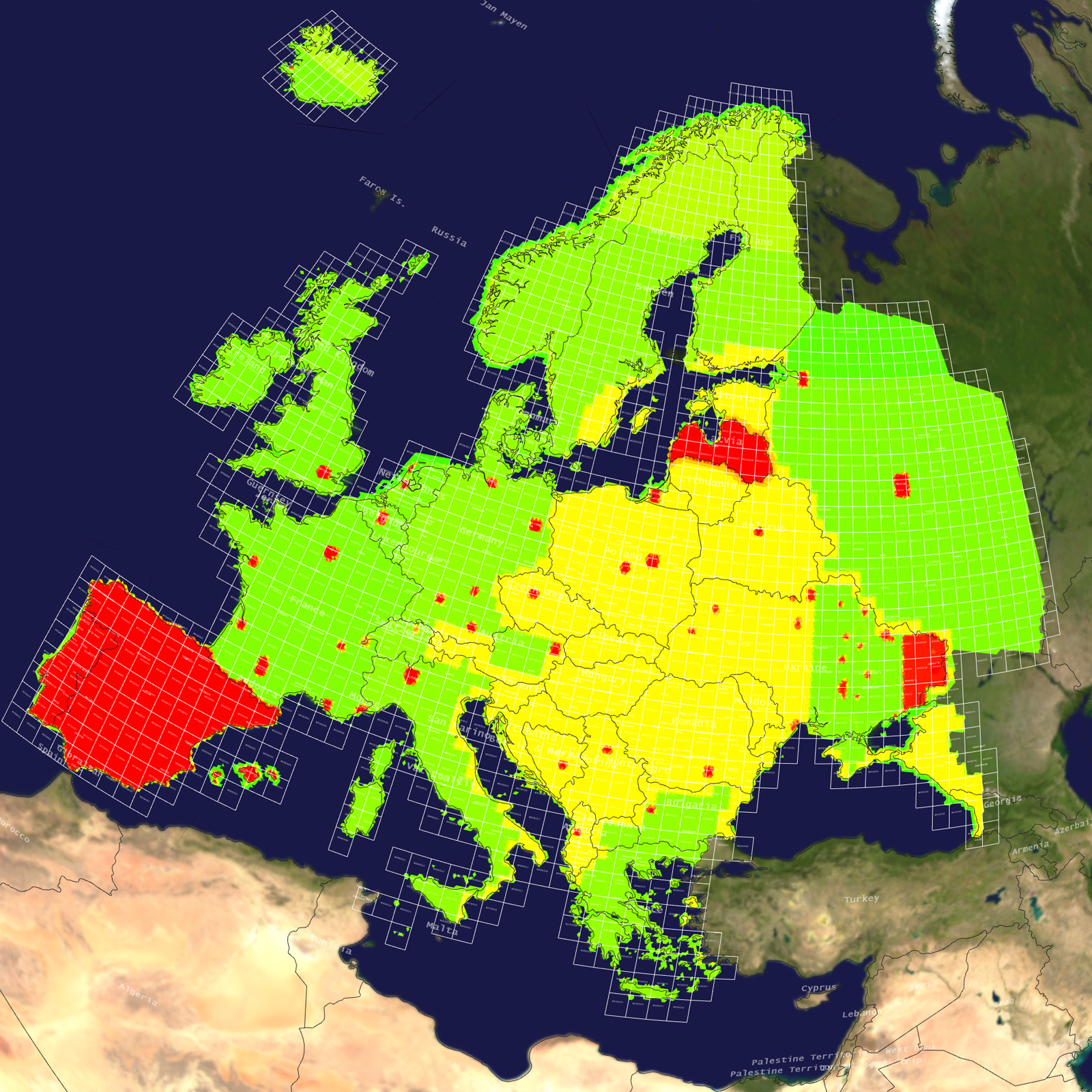
Tile Coverage Map
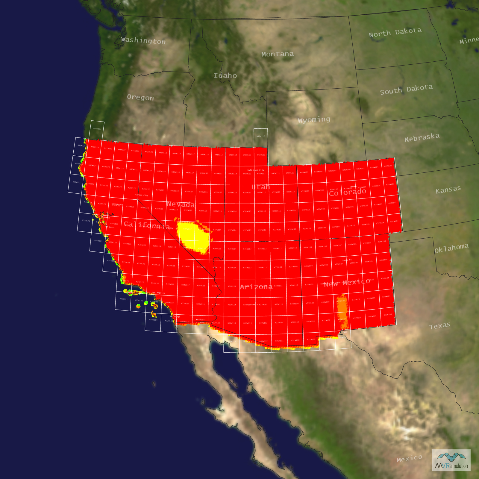
Terrain Database Information
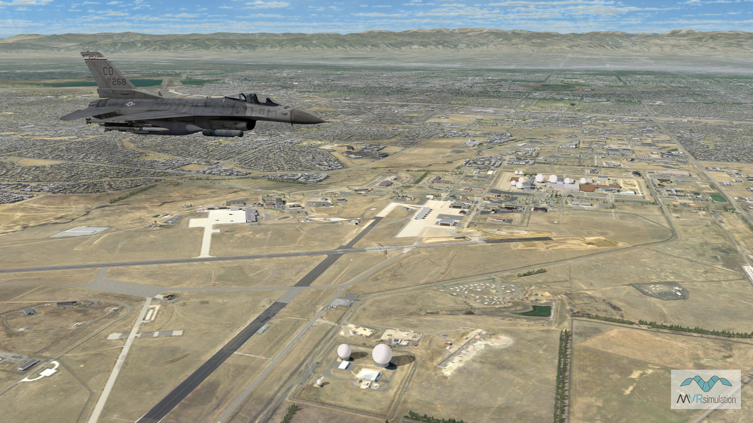
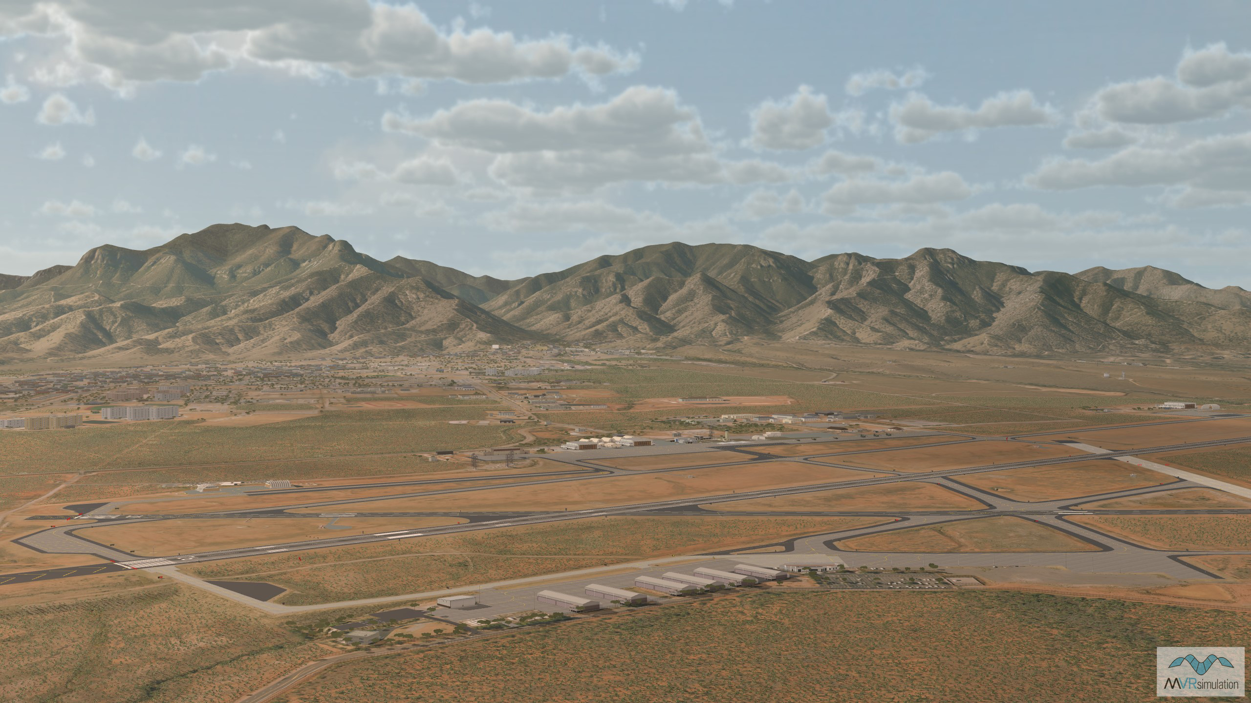
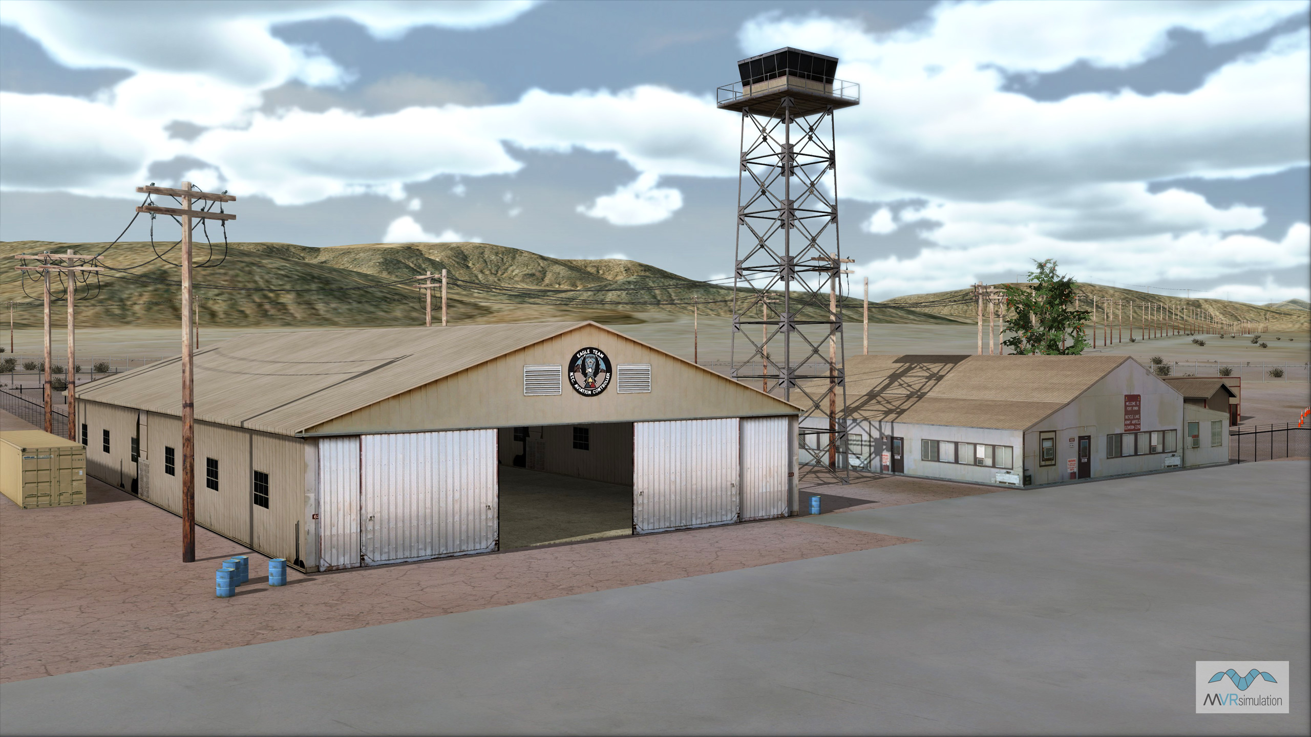
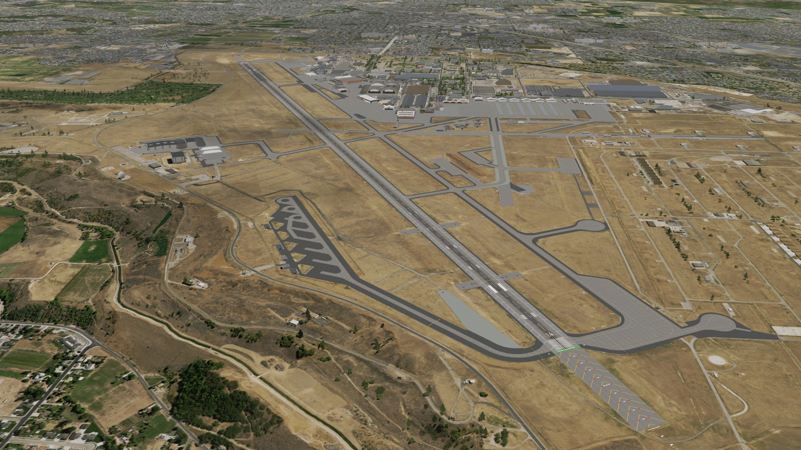
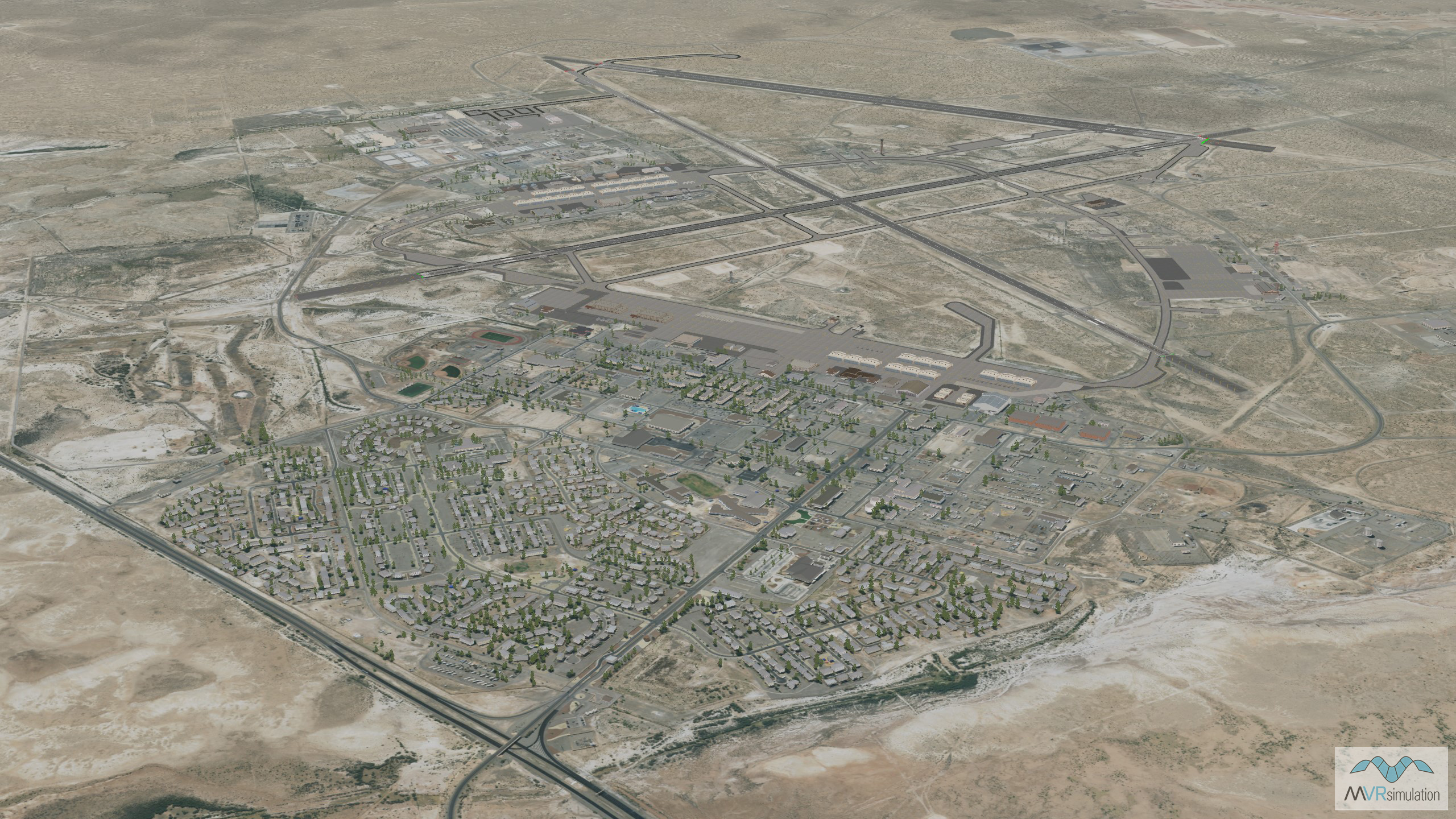
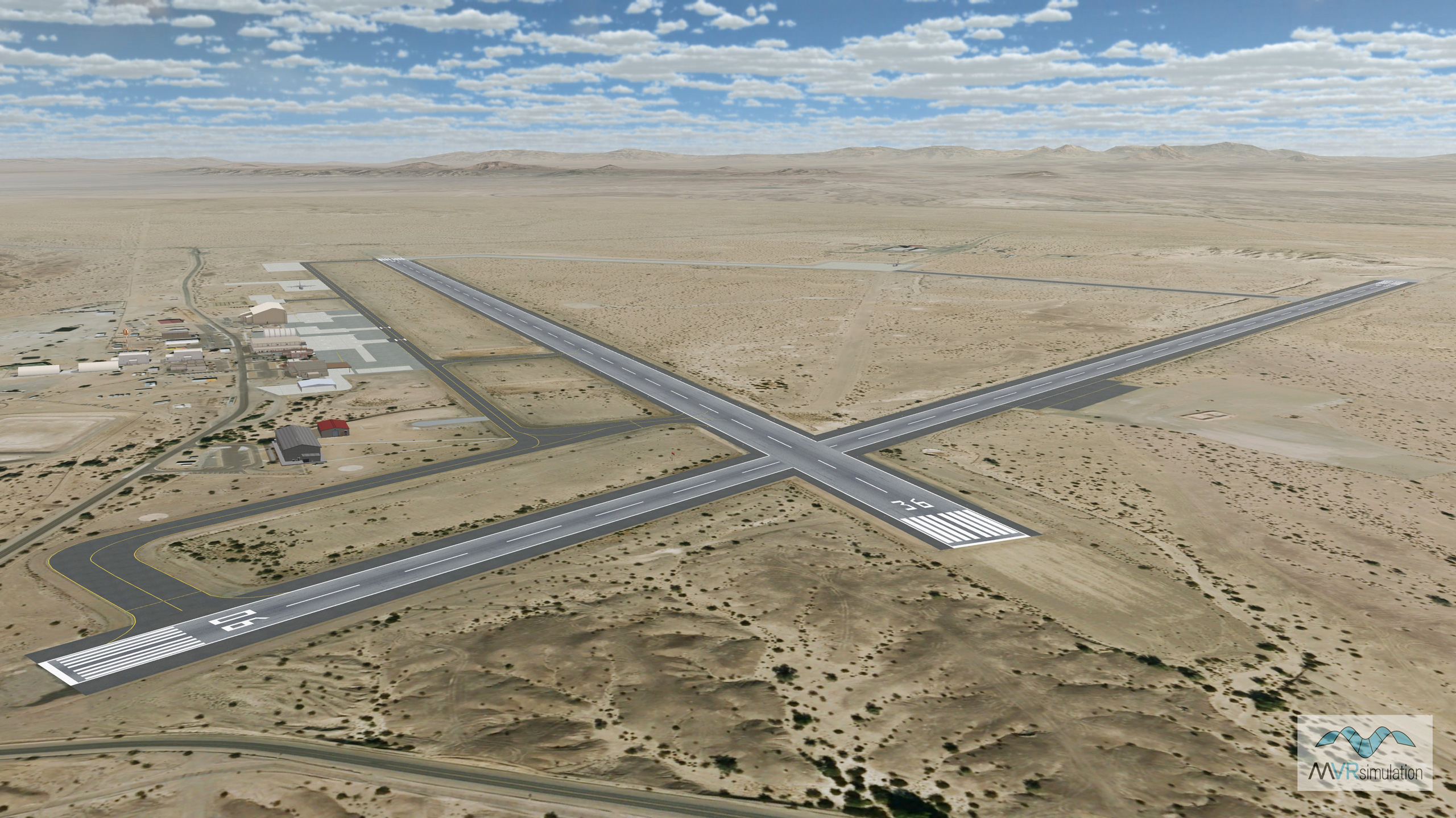
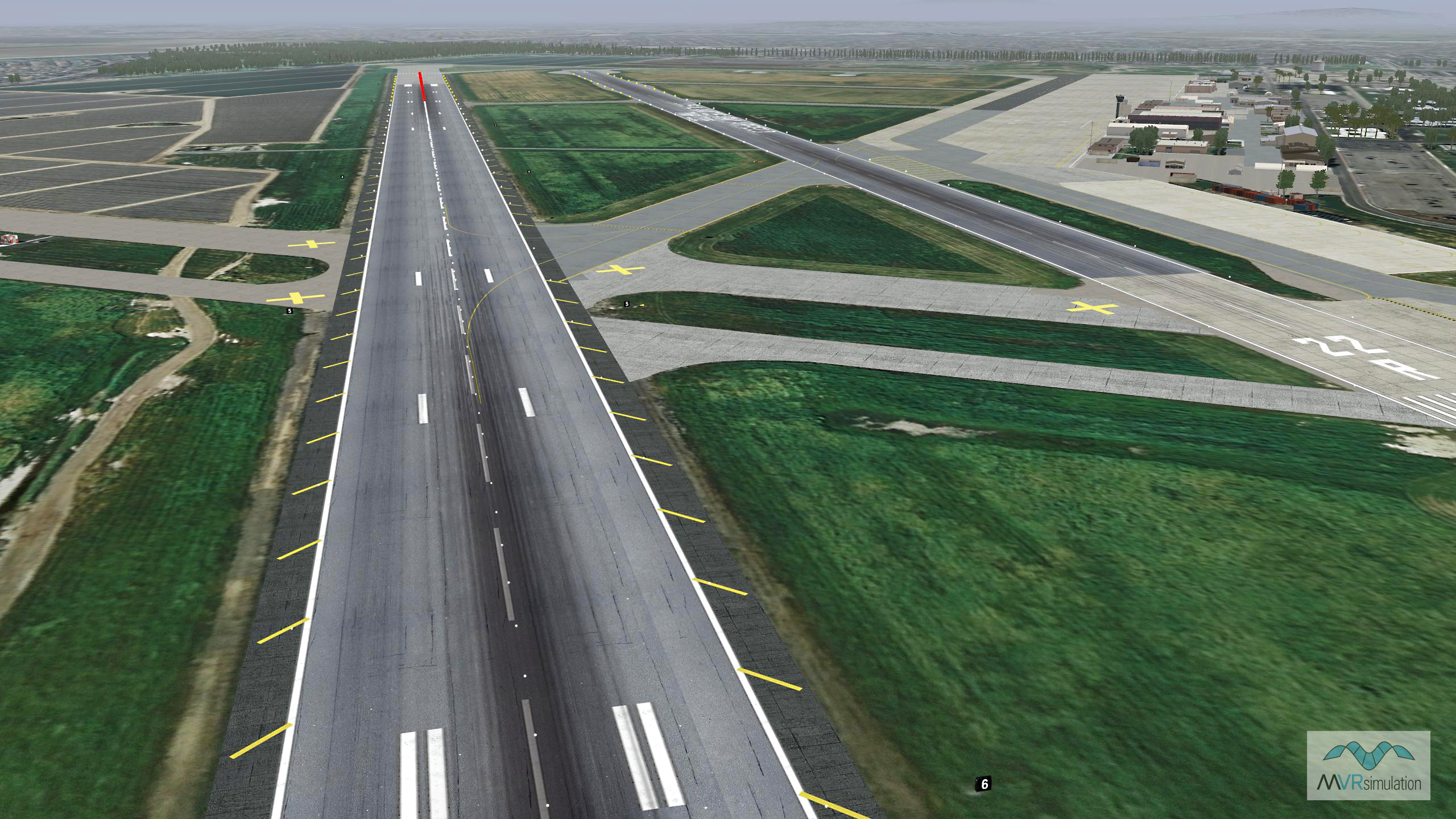
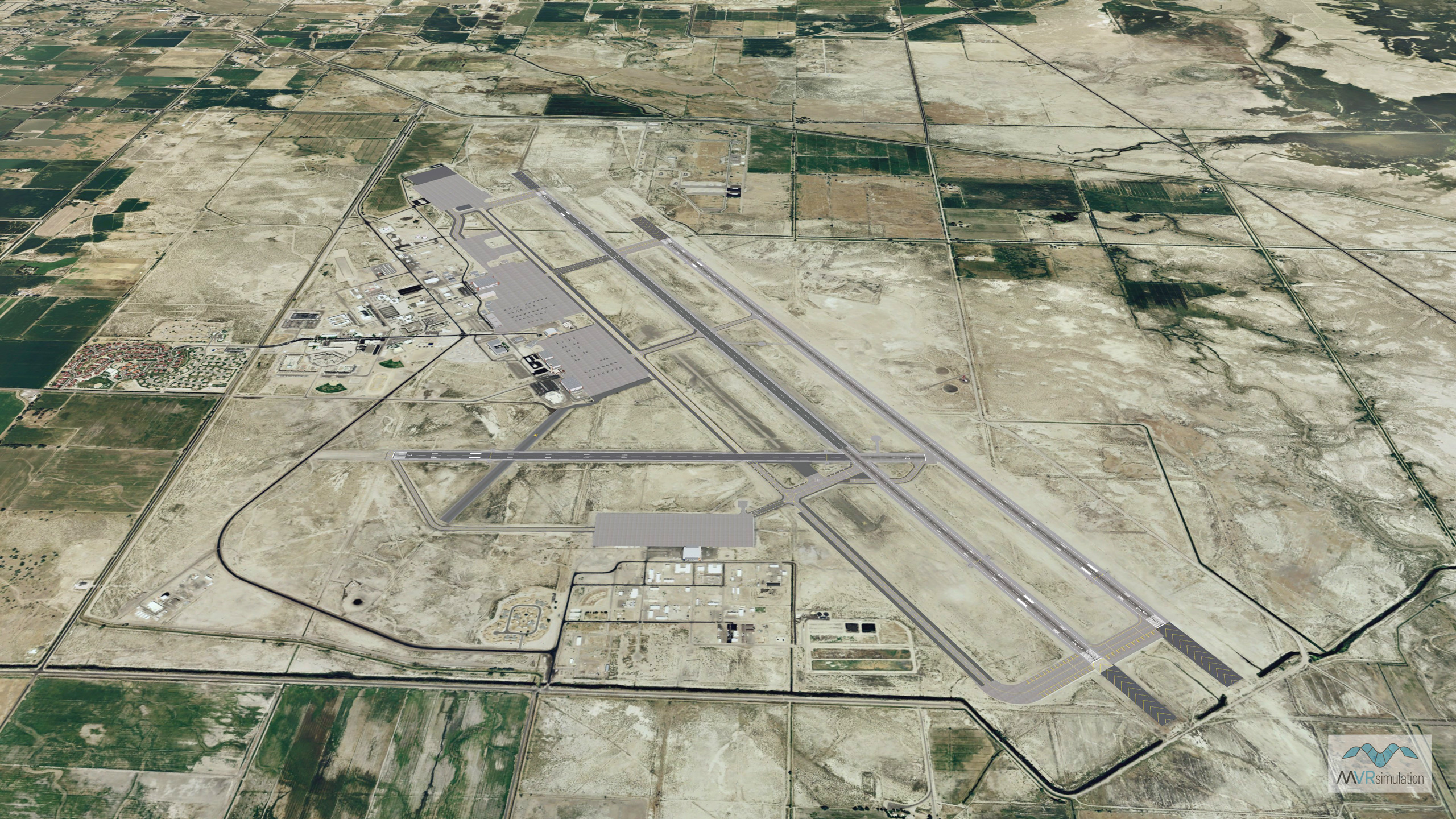
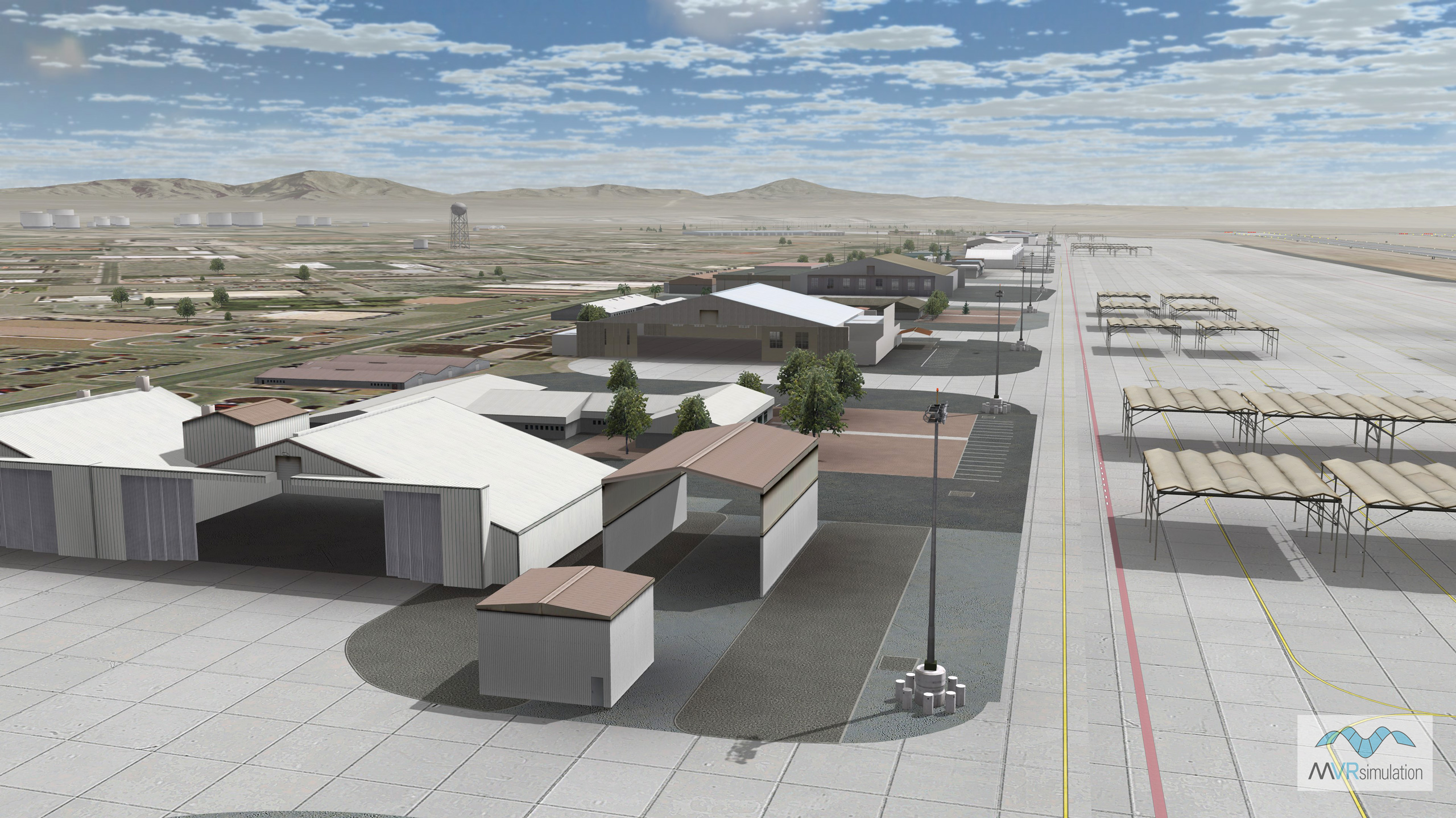
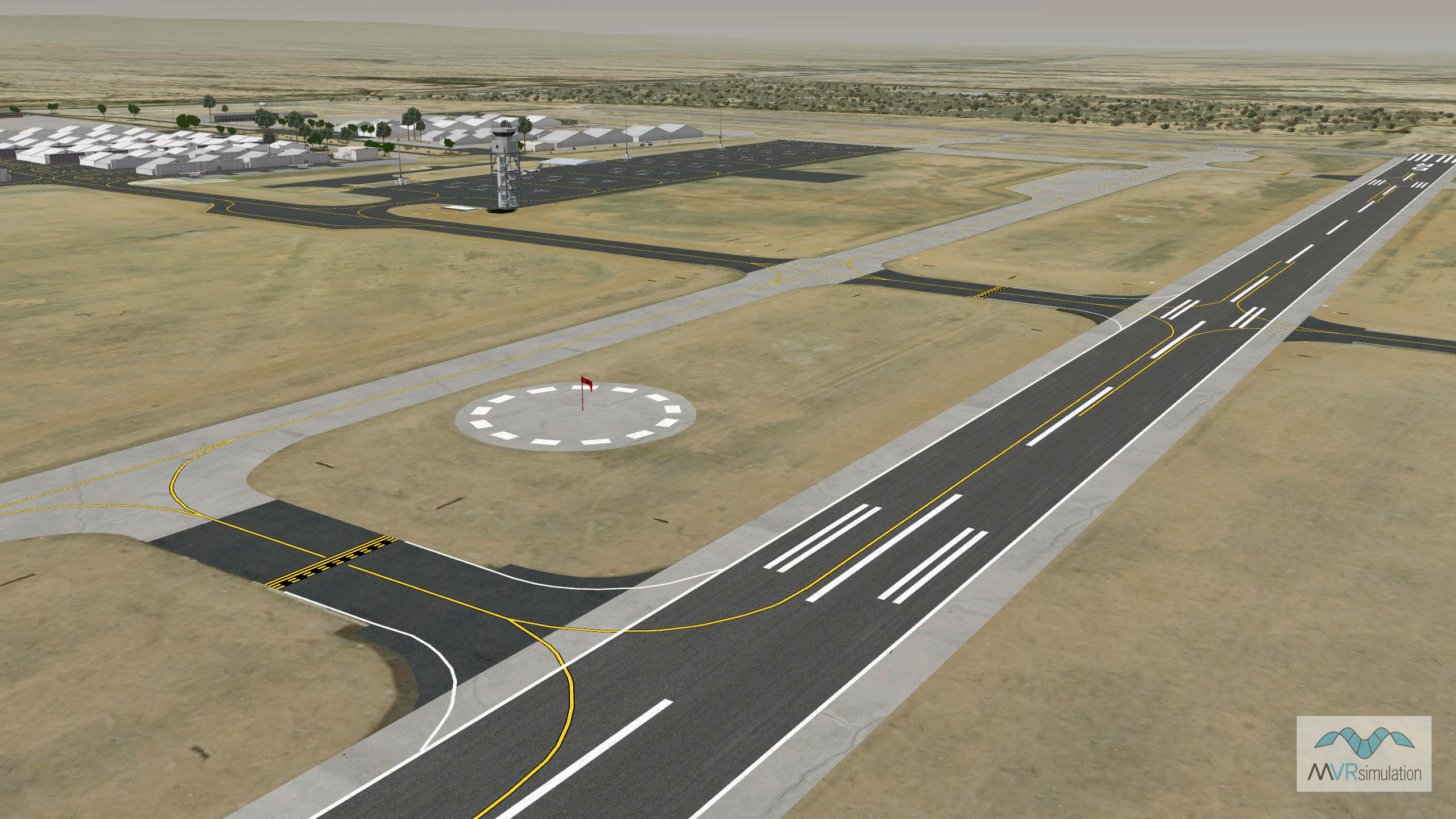
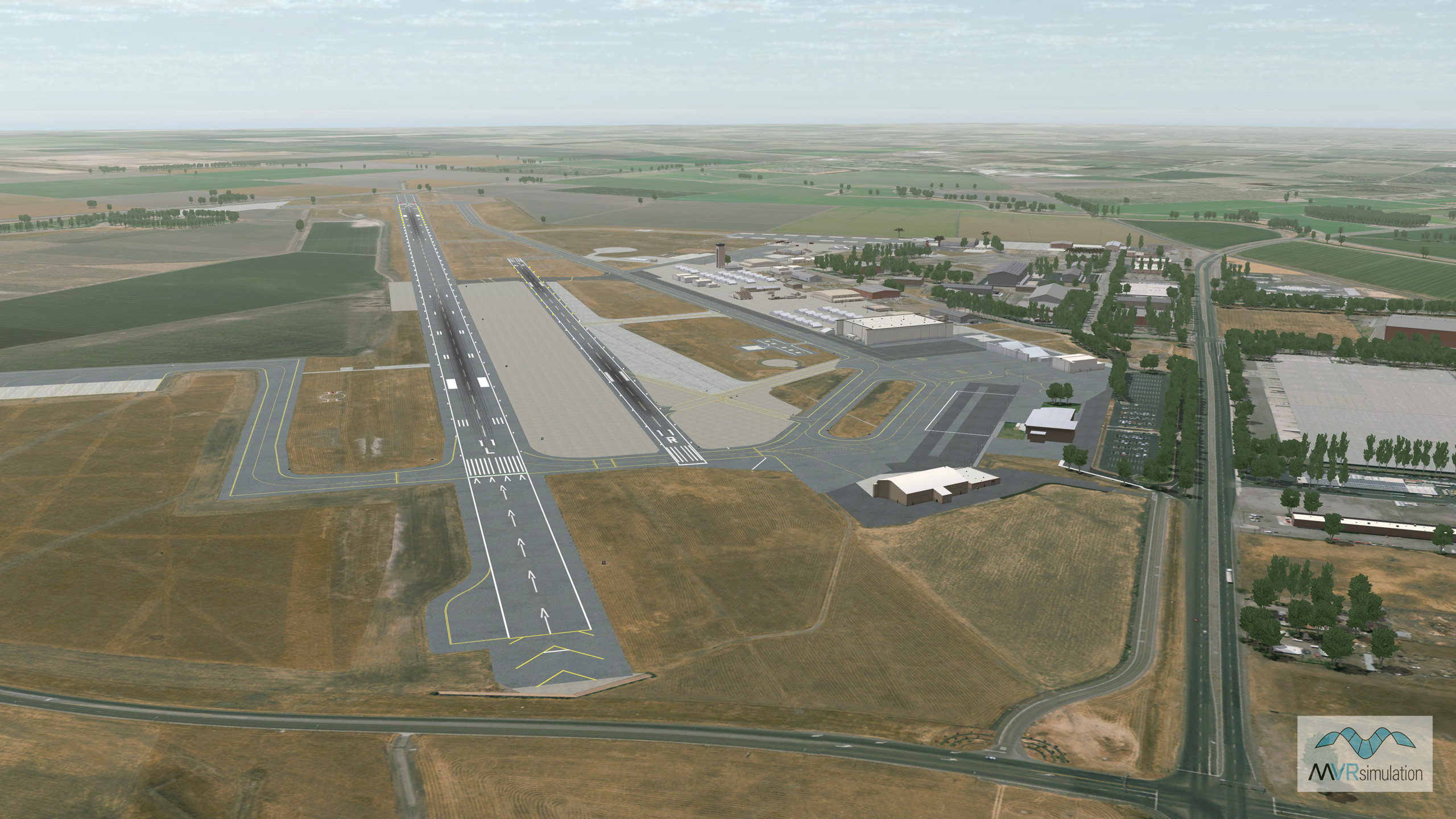
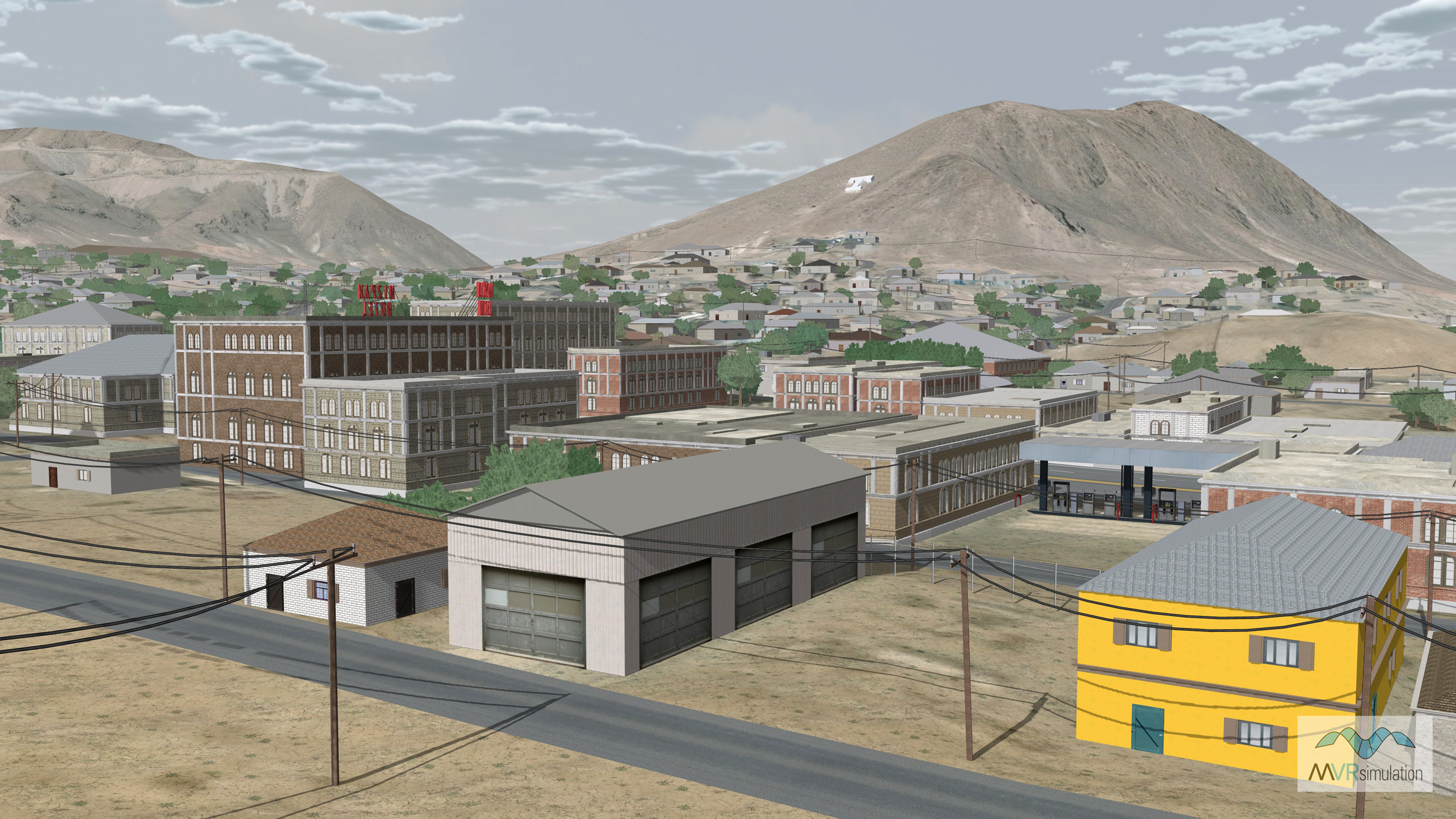
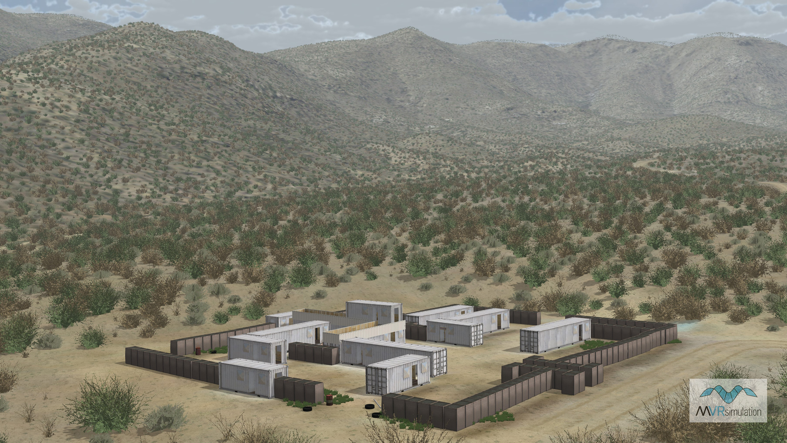
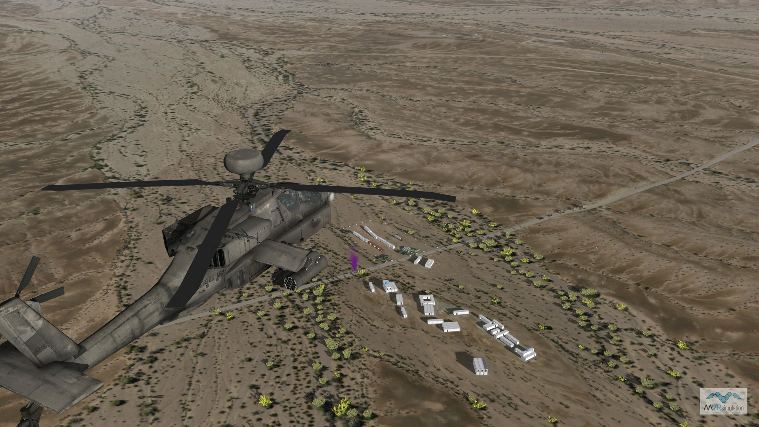
- Imagery: 1mpp base imagery with higher resolution insets and many 3D modeled areas of interest.
60cm high-resolution imagery of Kern County/Edwards Air Force Base and Riverside County - Elevation: NED 10m elevation data with higher resolution insets
- Terrain Drive: CONUS Southwest
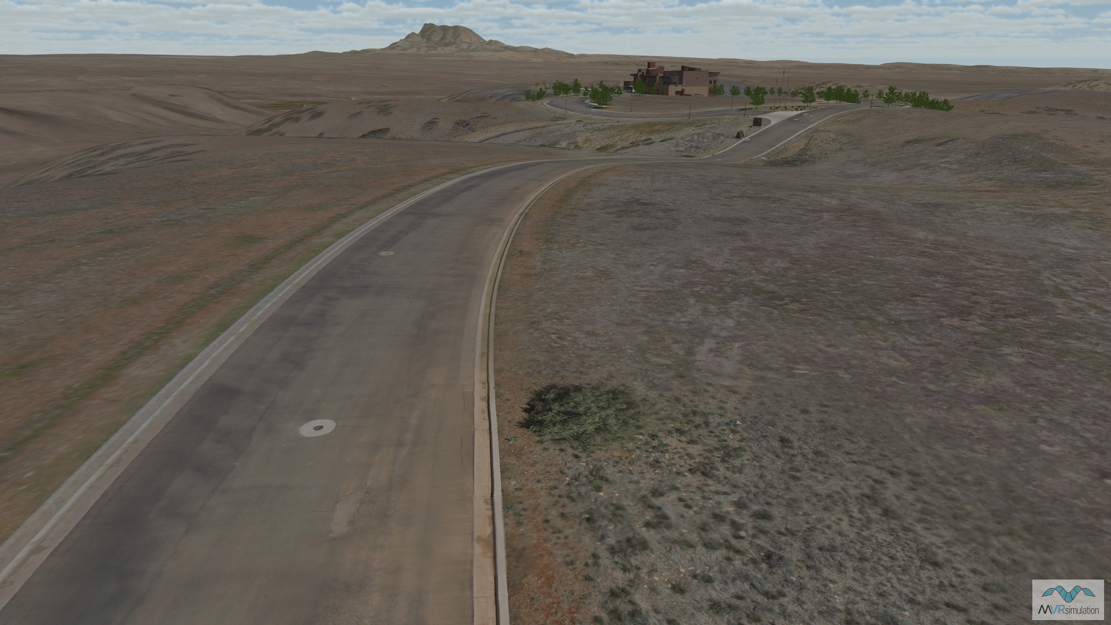
- MVRsimulation's seamless 3D terrain of Continental U.S. (CONUS) plus Alaska and Hawaii is constructed with high-resolution geospecific orthoimagery and varying levels of digital elevation models. The baseline terrain consists of 1-meter per-pixel (mpp) National Agriculture Imagery Program (NAIP) imagery (except for Alaska and Hawaii) combined with 10-meter per-post NED elevation data.