
Holloman Air Force Base (KHMN) Terrain Database Information
- Imagery: 30cm
- Elevation: NED 10
- Terrain Drive: CONUS Southwest
- Cultural Features: CityEngine/Geotypical Buildings, Control Tower, Hangars, Landscape Features (Shrubs, Grass, Paved Medians, etc.), Lighting for Non-Runway Areas (Streetlights), Military Specific Elements (Shelters, Bunkers, Watchtowers, etc.), Navigation Aids, Roads, Runway, Runway Lights, Signs, Taxiways and Associated Markings, Trees, Windsocks
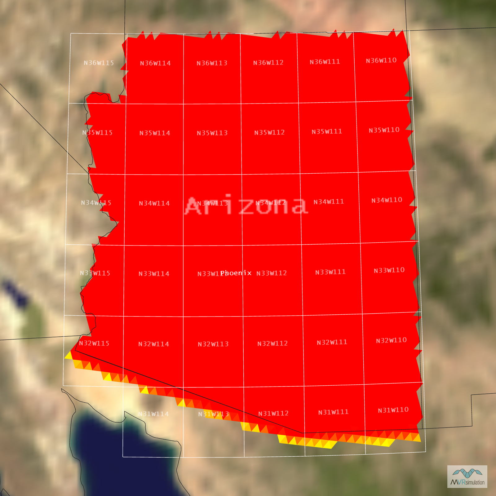
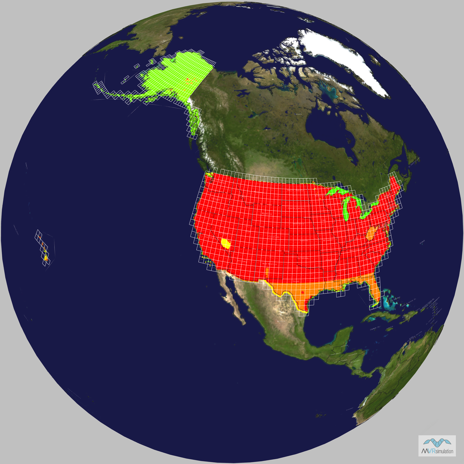
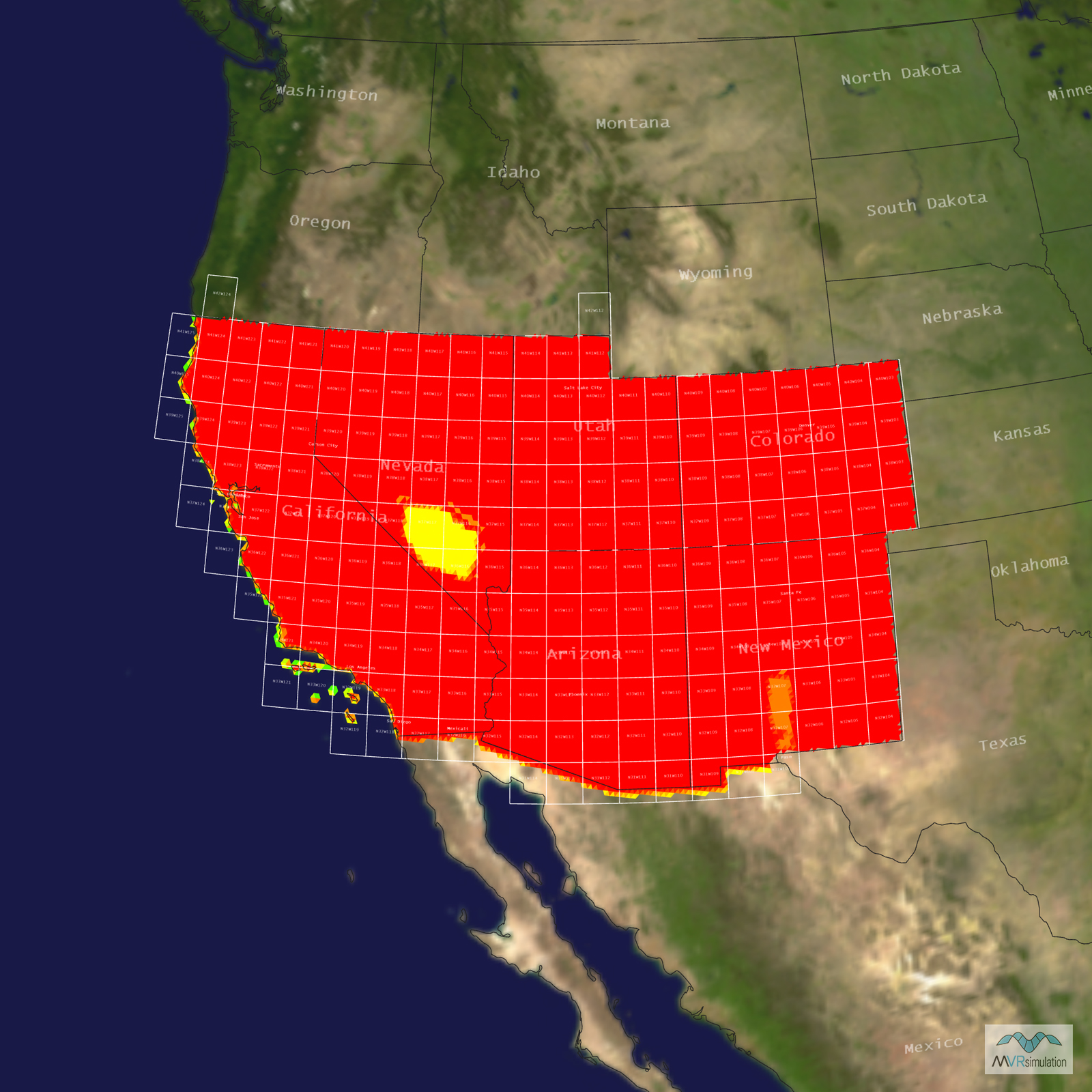
Tile Coverage Map
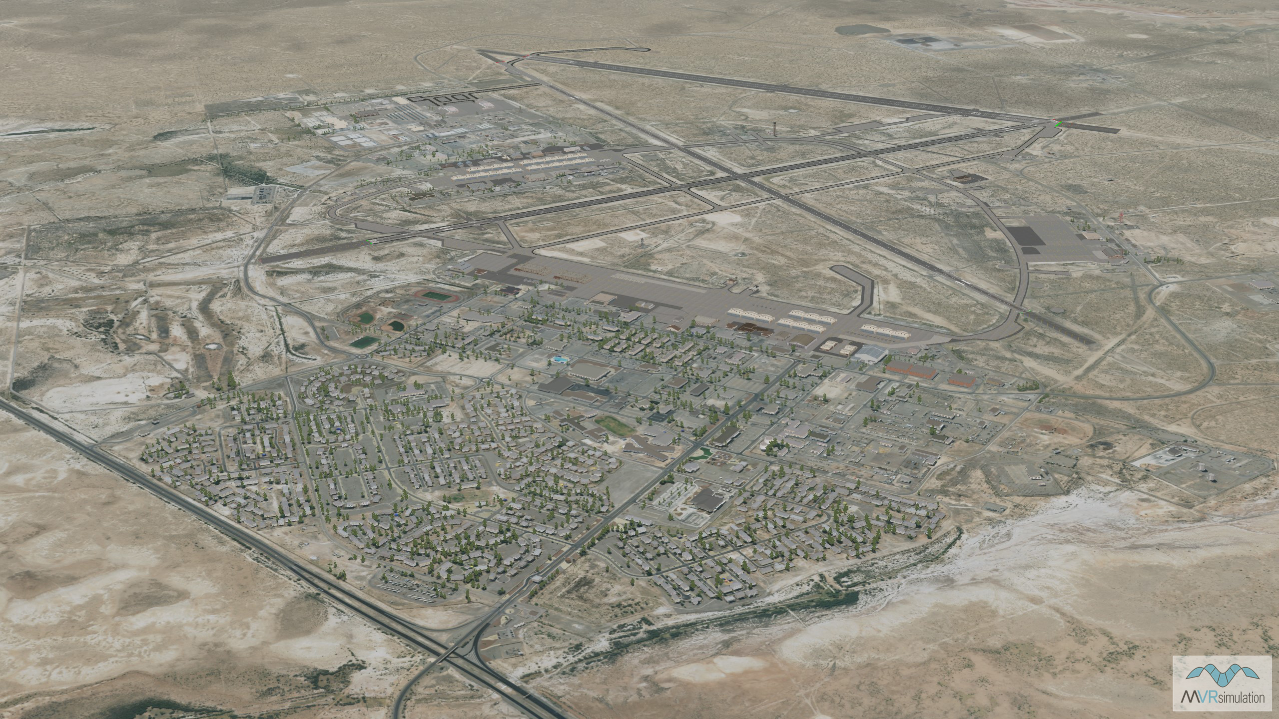
VRSG's 3D terrain database of Holloman Air Force Base, New Mexico, includes a model of the airport's control tower.
The MVRsimulation 3D terrain database of Holloman Air Force Base, New Mexico, was compiled using high-resolution 30 cm imagery of the base.
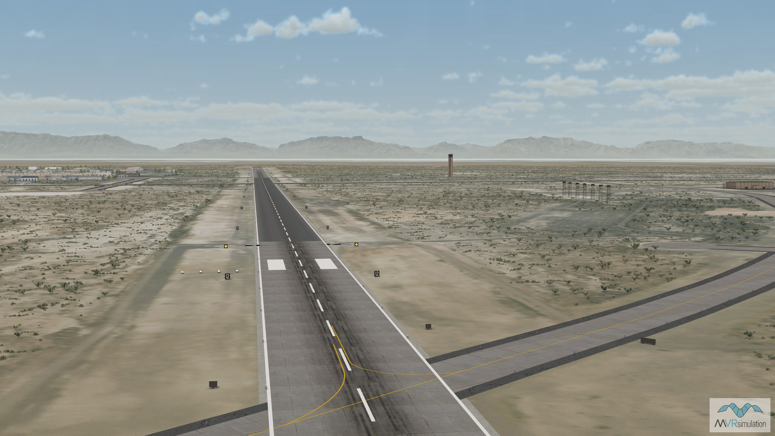
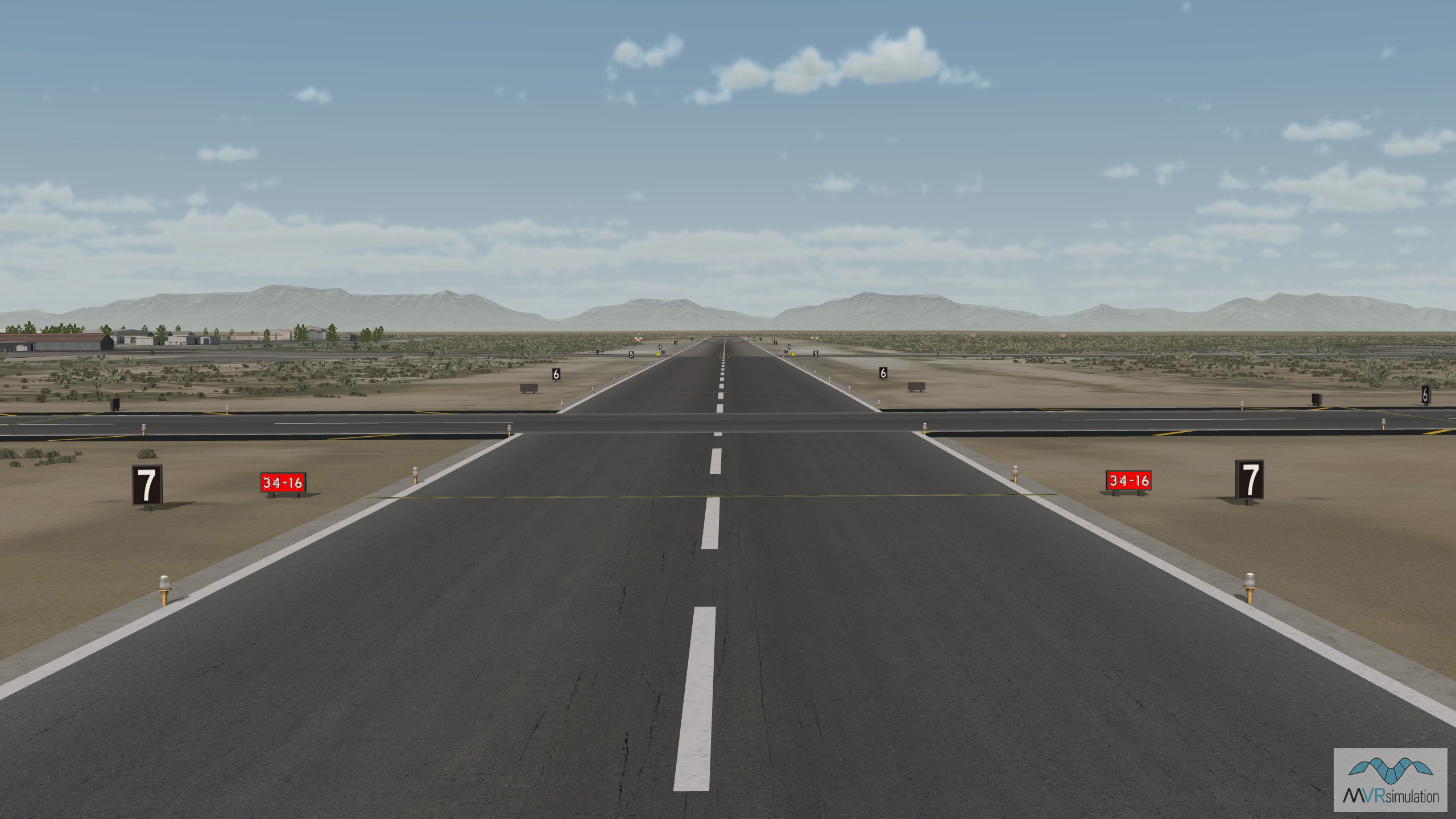
VRSG's 3D terrain database of Holloman Air Force Base in New Mexico includes three modeled runways.
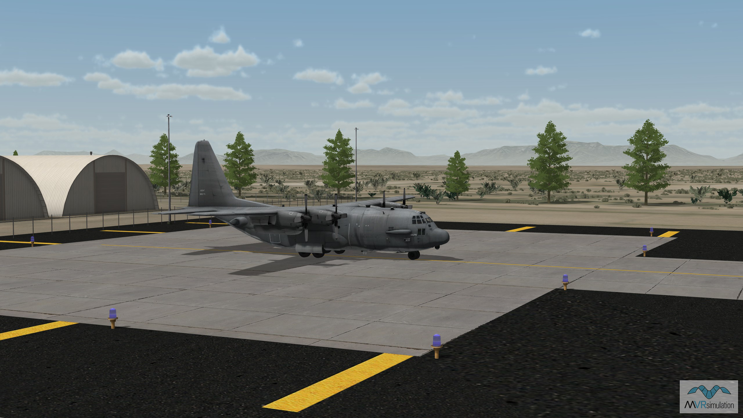
Geotypical hangars in VRSG's Holloman Air Force Base terrain.
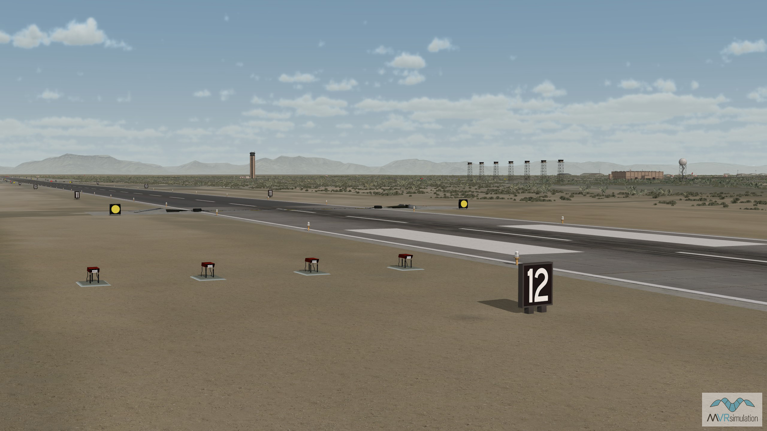
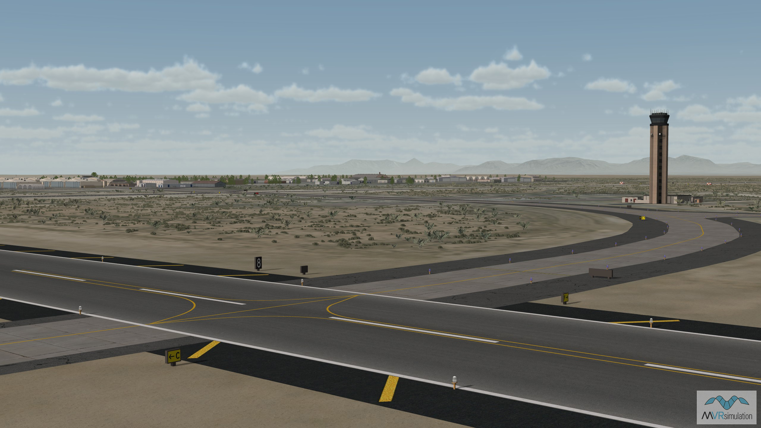
Navigational signs along the runway in VRSG's Holloman Air Force Base database.
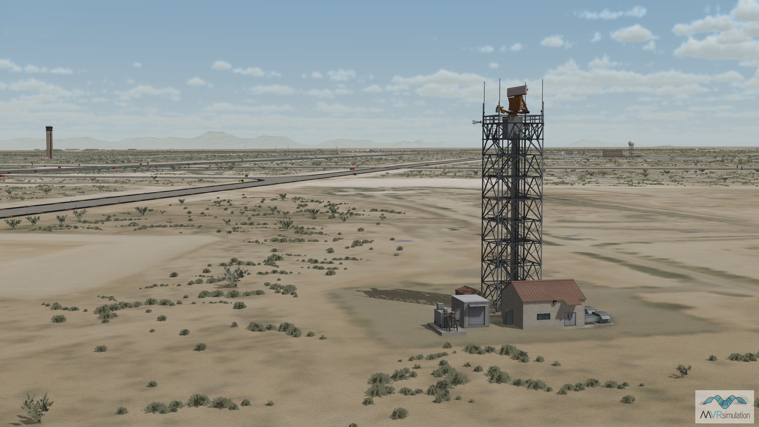
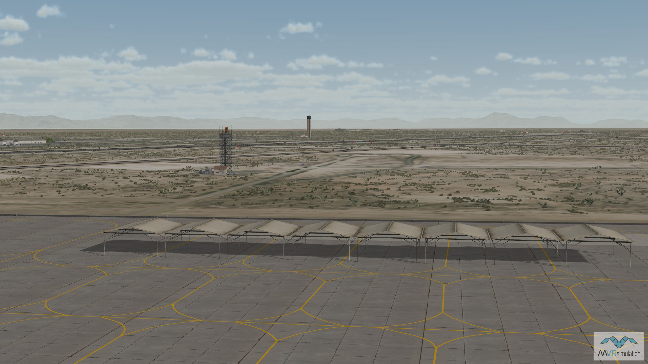
Detail of a radar tower in VRSG's virtual Holloman AFB database.
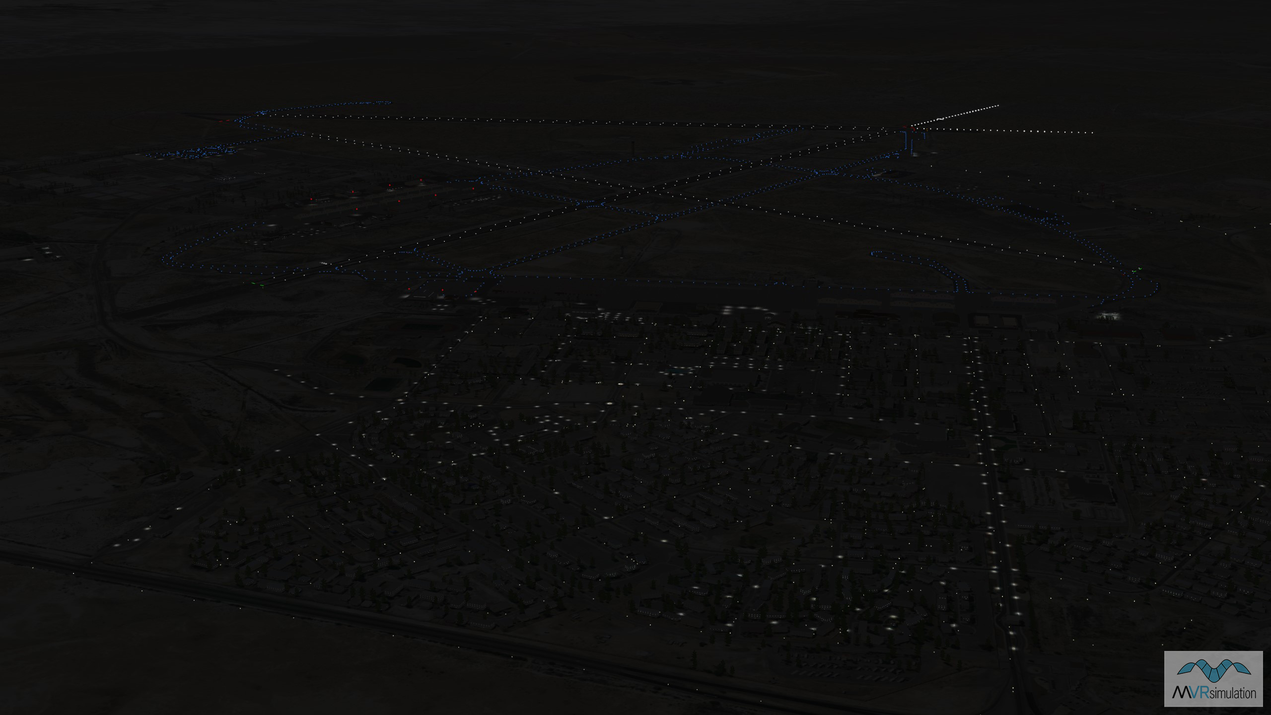
A night scene showing VRSG's 3D terrain database of Holloman Air Force Base, New Mexico.


EXTEND YOUR TERRAIN DATABASE
MVRsimulation Downloads Server
- Explore and implement terrain updates
- Download and use new 3D models
- Stay up-to-date with VRSG features
- Discover utilies for expanding VRSG

MVRsimulation Regional Terrain Drives
- External hard drive - regional terrian
- Network attached storage device - whole-world terrain
- Ready for plug and play
- Available to customers on active maintenance
MVRsimulation Produced Custom Terrain
- Custom terrain created by MVRsimulation's terrain team
- Specify your desired area of interest
- Indentify needed terrain features.
- Use your own or commercially available imagery
Create Terrain with Terrain Tools
- Build real-time 3D terrain for VRSG using GIS technology with ArcGIS Pro
- Designed to be user-friendly for users with basic ArcGIS knowledge
- Use imagery, elevation, and optional vector data to create terrain
- Compile buildings from 2D polygon footprint features using a CityEngine rule package