Yuma Proving Ground Terrain Database Information
- Imagery:
Prospect Square: 2cm sUAS collected imagery
SOTACC Villiage MOUT Site: 30cm
Laguna Army Airfield: 30cm - Elevation: 2 to 10 meter elevation
- Terrain Drive: CONUS Southwest
- Cultural Features: Building Interiors, Geotypical Buildings, Custom Models (Geospecific Buildings), Hangars, Landscape Features (Shrubs, Grass, Paved Medians, etc.), Military Specific Elements (Shelters, Bunkers, Watchtowers, etc.), Roads, Runway, Runway Lights, Signs, Trees, Vehicles (Trucks, Cars, Military Equipment, etc.)
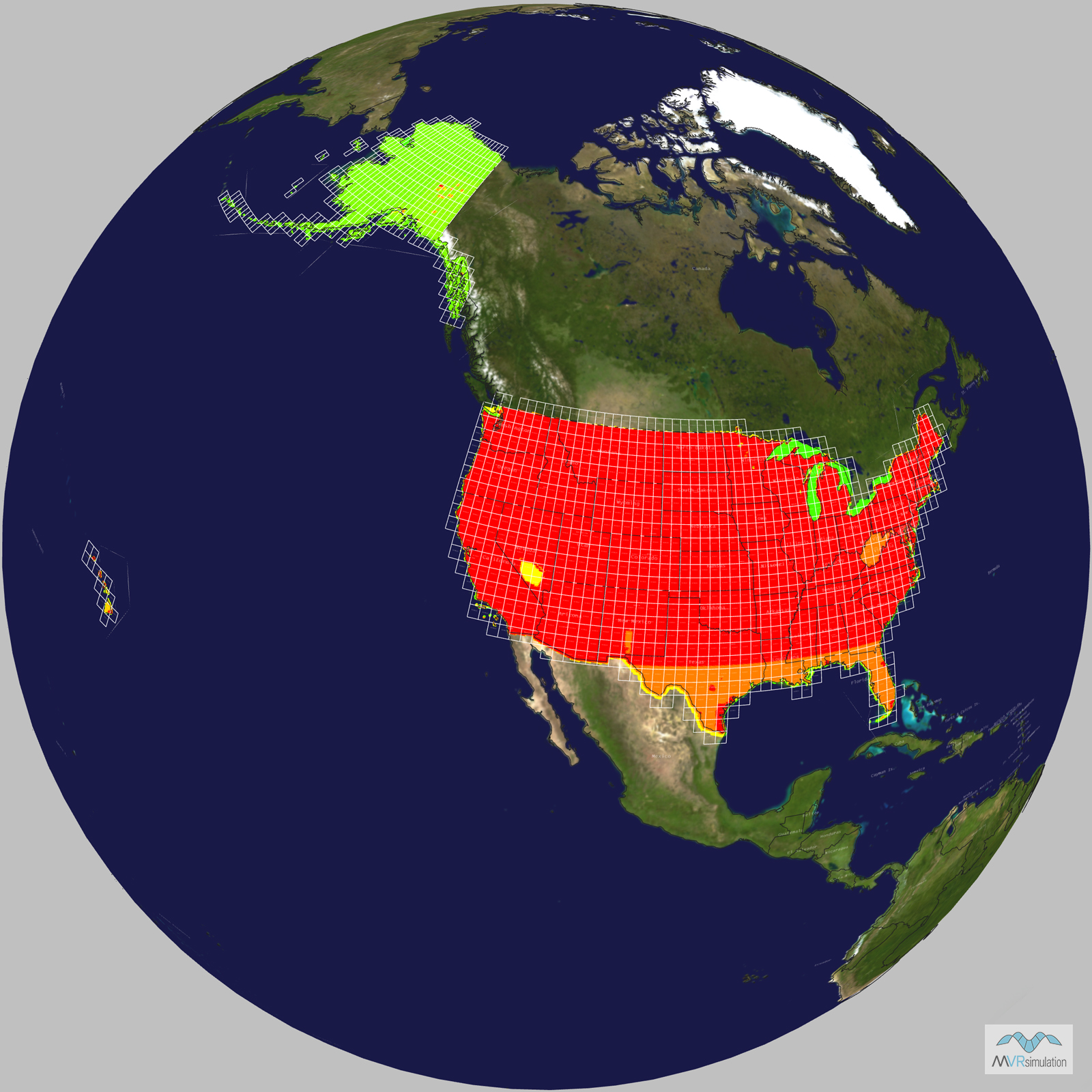
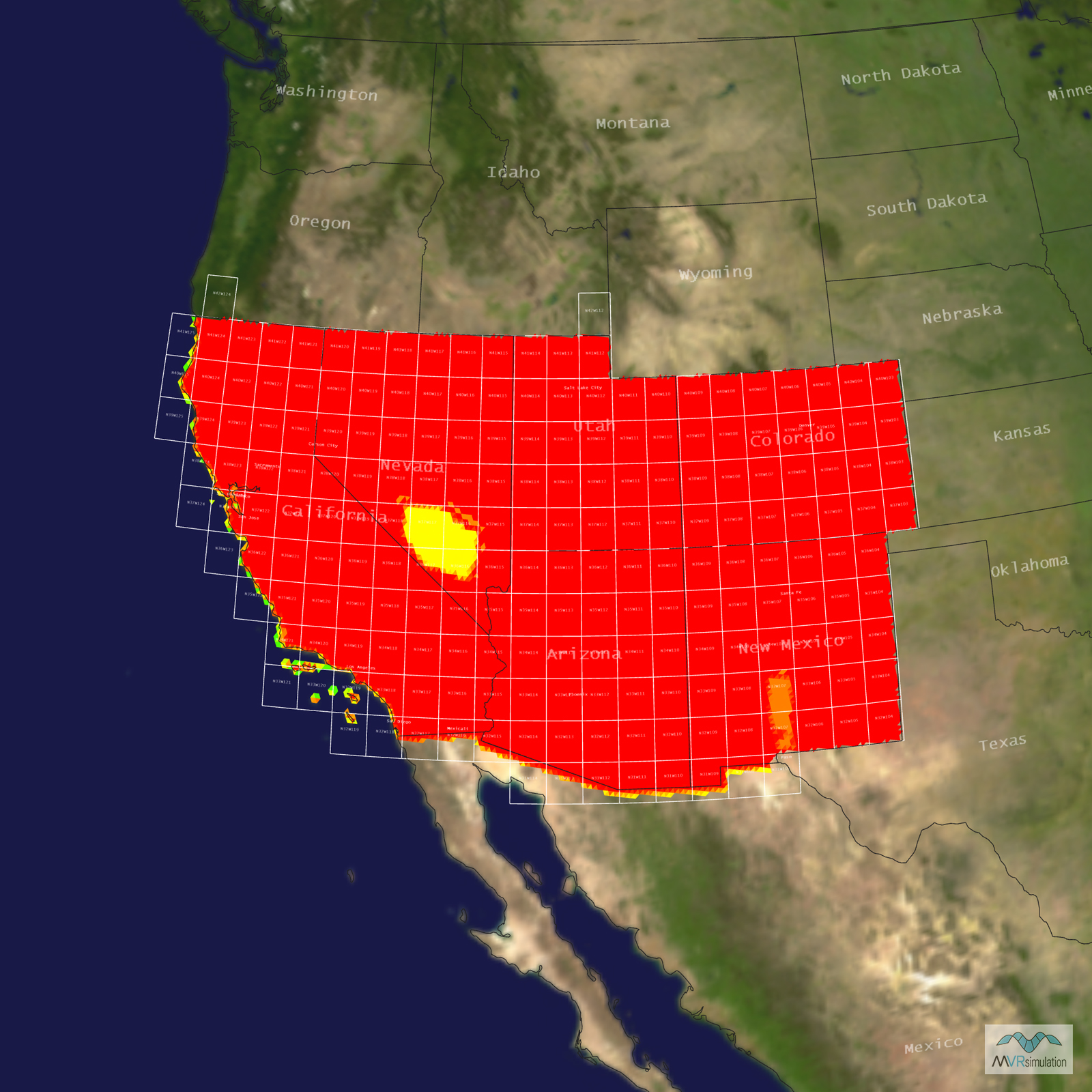
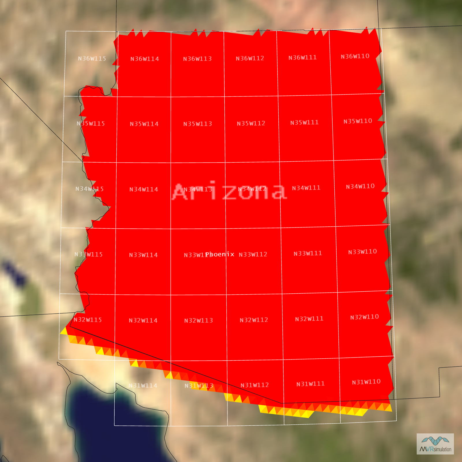
Tile Coverage Map
Ultra-high Resolution Terrain
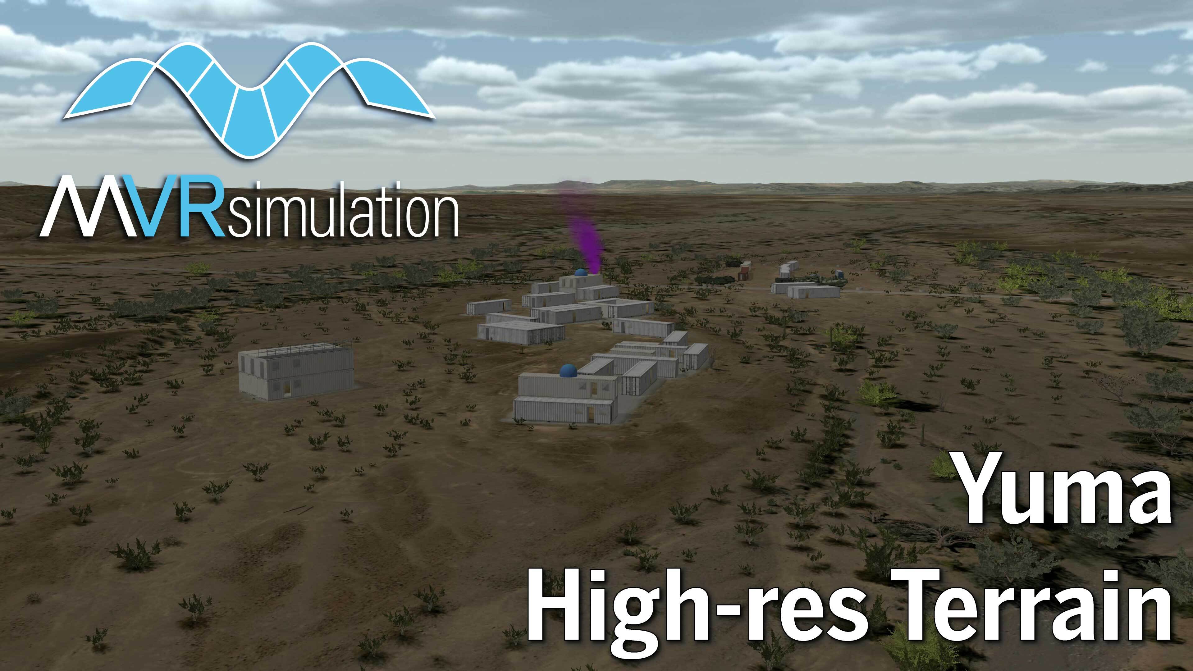
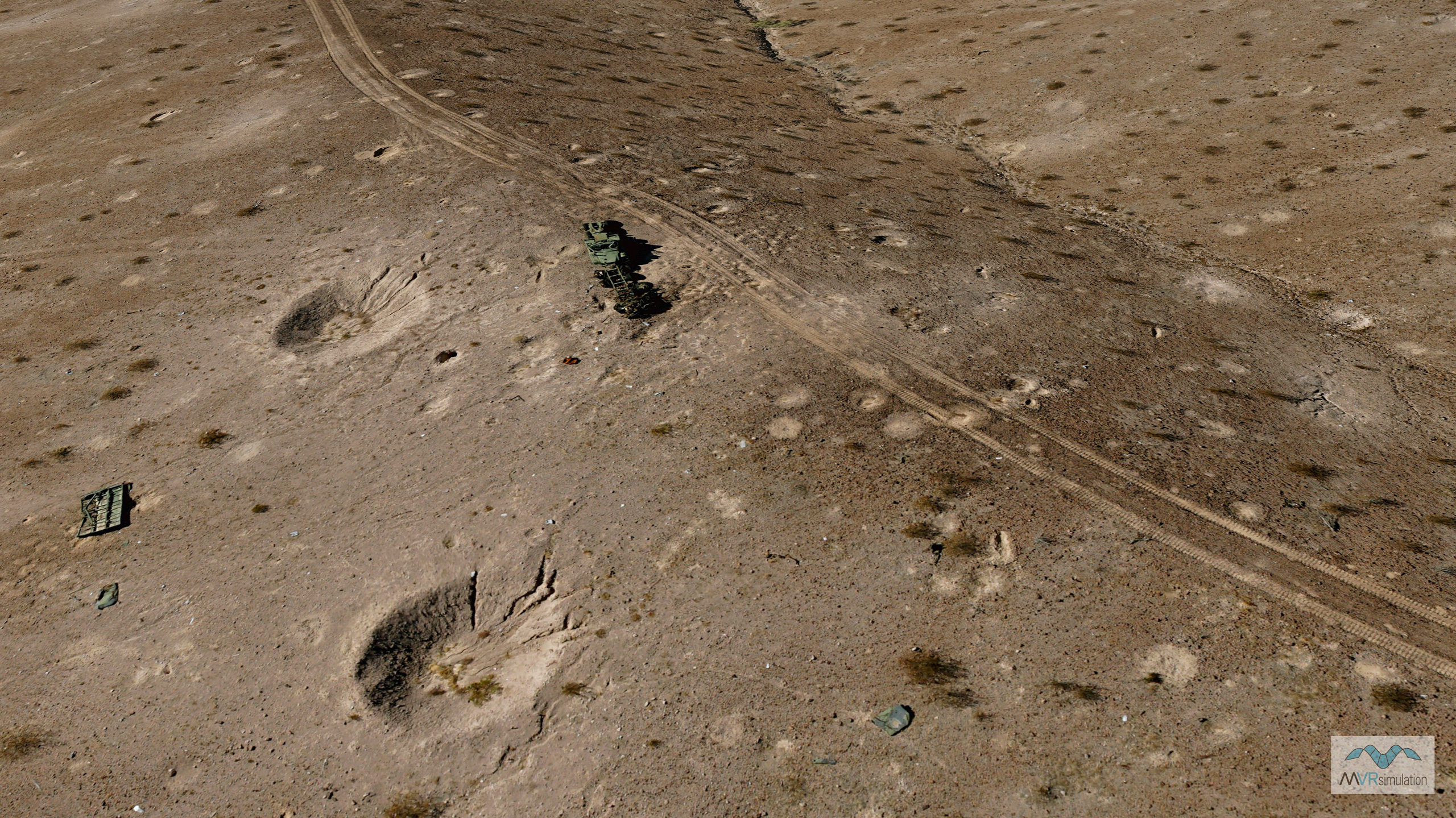
MVRsimulation has created a highly detailed 2 cm per-pixel resolution 3D terrain of the Prospect Square area within the U.S. Army Yuma Proving Ground, Arizona. The imagery was collected using MVRsimulation’s small UAS, then orthorectified and processed for rendering in Virtual Reality Scene Generator (VRSG). The 2cm imagery is blended with 30cm imagery of the rest of the Yuma Proving Ground. This high-resolution terrain is combined with NED 10-meter elevation data and blended with surrounding 1-meter per-pixel National Agriculture Imagery Program (NAIP) imagery, all built within MVRsimulation’s round-earth VRSG terrain architecture. The result is a geospecific and immersive virtual environment tailored for real-time simulation.
Yuma Proving Ground, located in the Sonoran Desert near the Arizona-California border, is one of the largest military installations in the world and part of the U.S. Army Test and Evaluation Command. The virtual MVRsimulation Yuma Proving Ground terrain database includes key features such as the Special Operations Terminal Attack Controller Course (SOTACC) Village MOUT site, Laguna Army Airfield, helicopter pads, 3D craters from munition blasts, and other static models to support a wide range of virtual training needs. These virtual representations are designed to closely match their real-world counterparts, enabling realistic and repeatable training scenarios in VRSG.
Videos of the Yuma Proving Ground Terrain
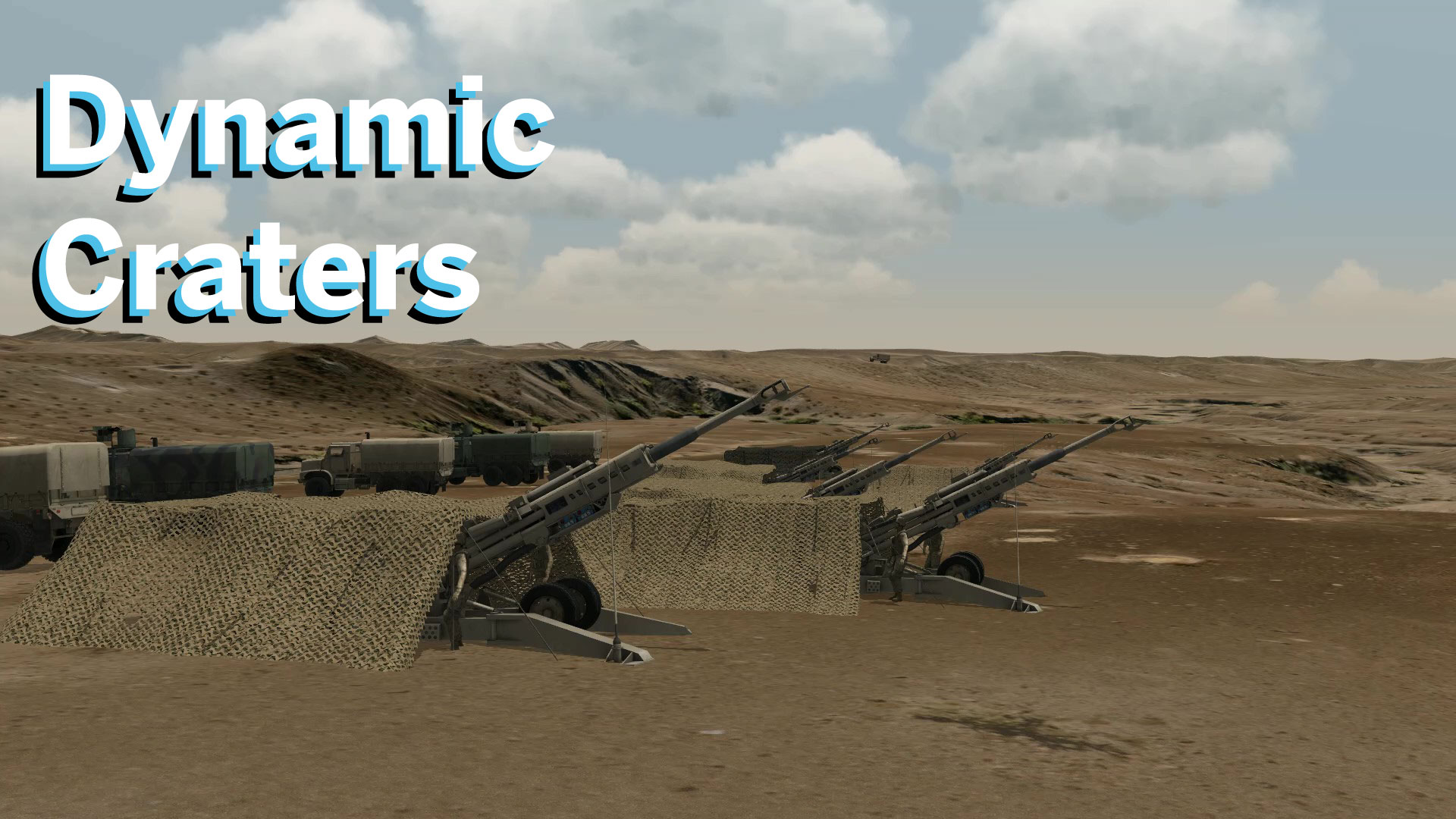
VRSG 3D terrain with 2 cm per pixel resolution imagery of the Prospect Square area of the Yuma Proving Ground with 3D craters.
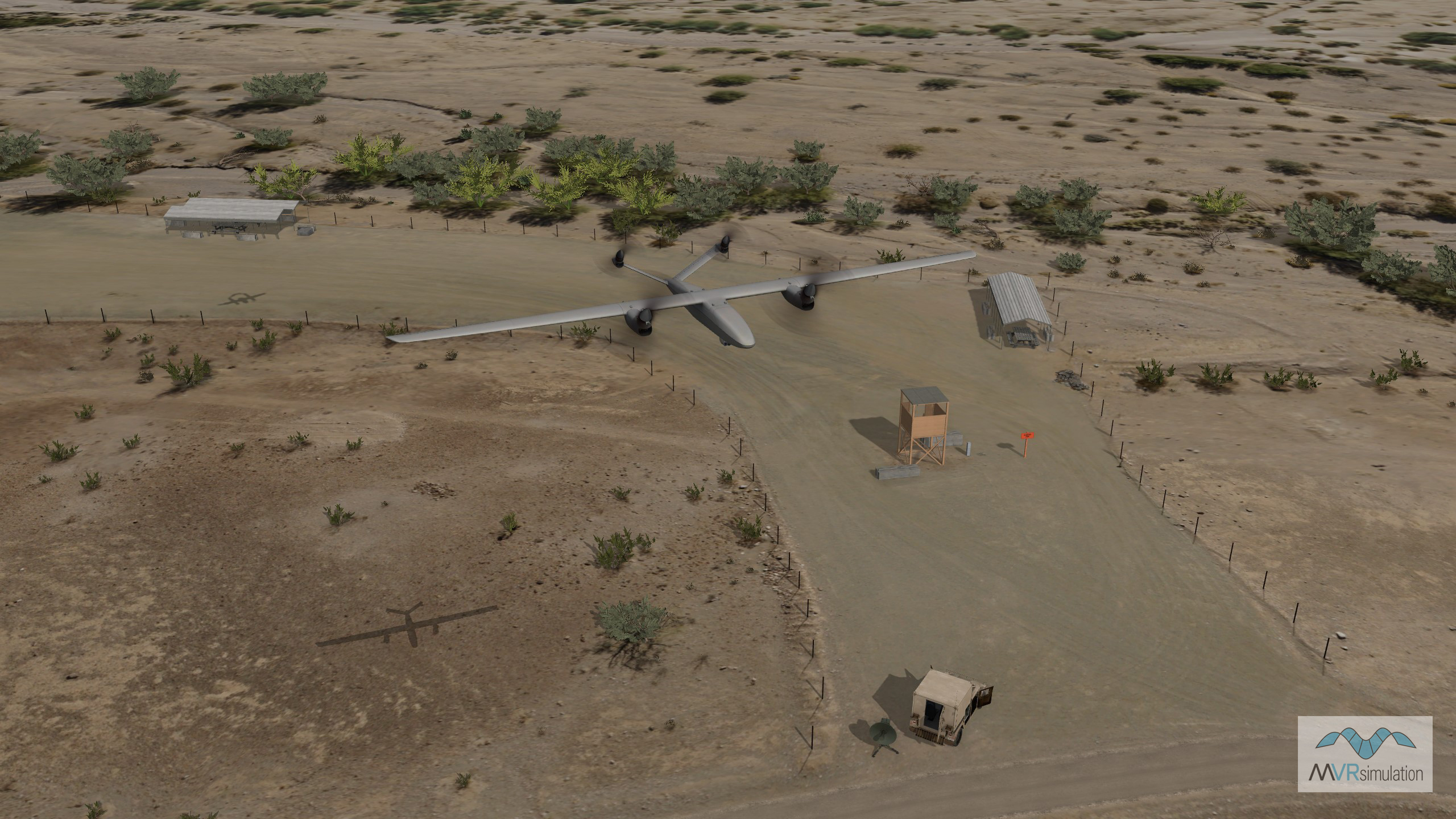
High-resolution helipad as part of the Yuma Proving Ground terrain databasae. VRSG supports particle effects making desert-based rotary-wing training possible with realistic dust plooms during take off and landing.
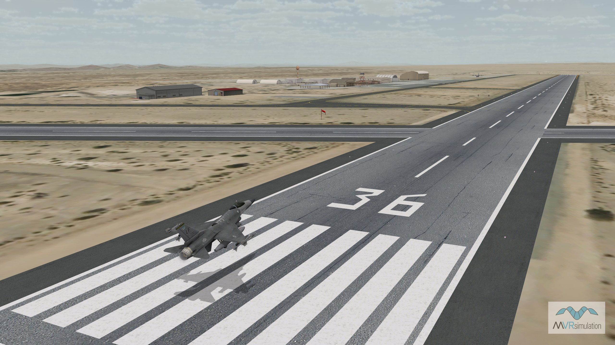
Virtual Laguna Army Airfield runway with F-16 at the Yuma Proving Ground, AZ.
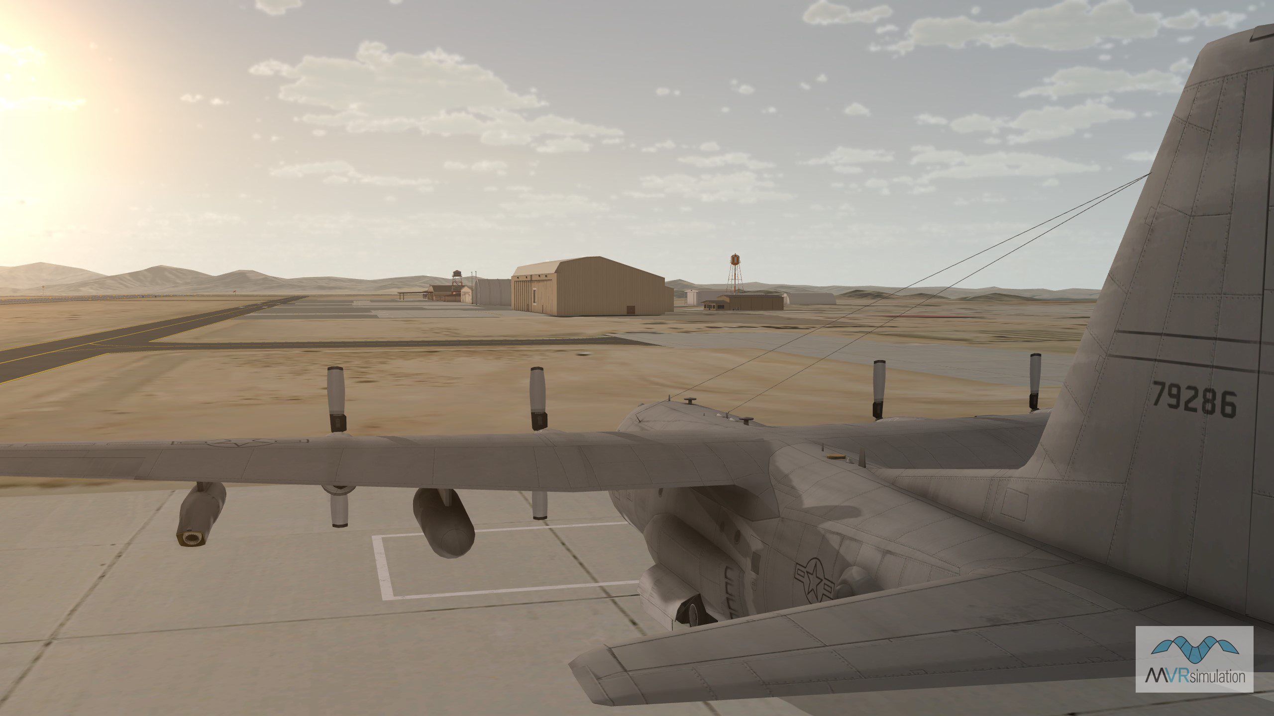
Cultural features on the virtual Laguna Army Airfield (KLGF) at the Yuma Proving Ground, AZ.
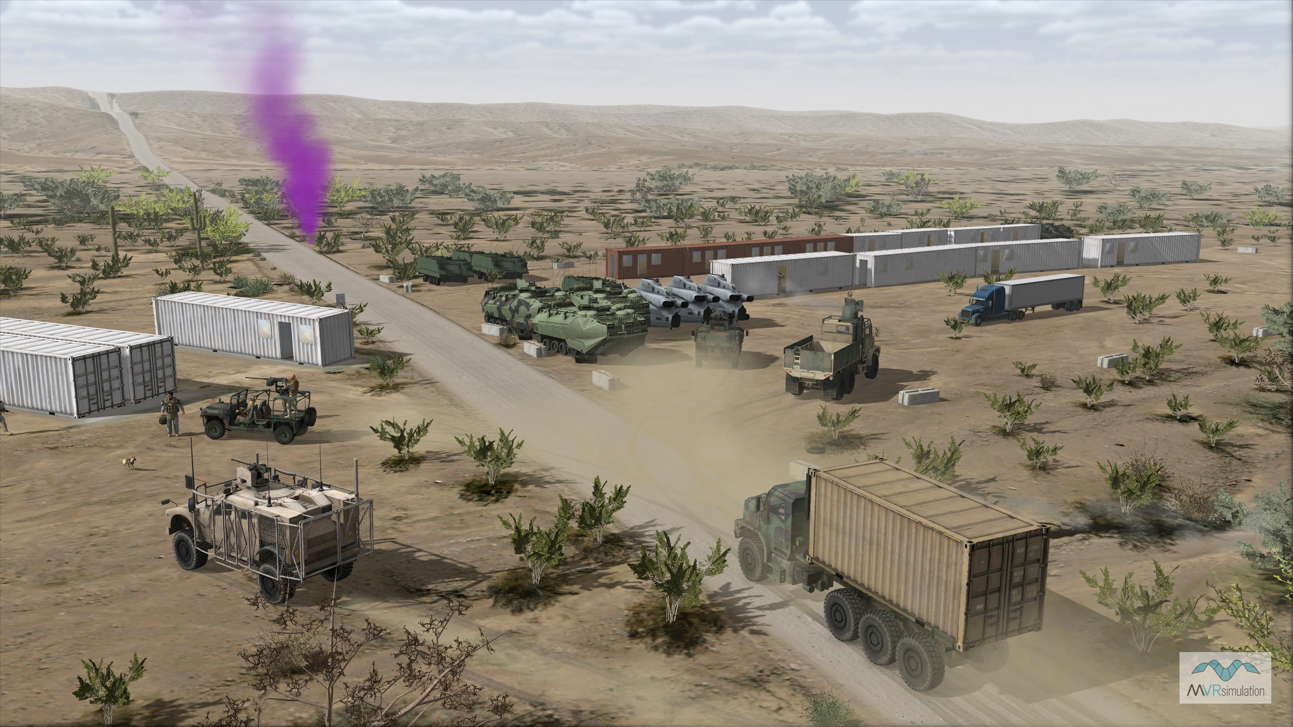
Real-time image of a VRSG scenario at the SOTACC Village MOUT site including wheel tracks of the platforms visible in the terrain.
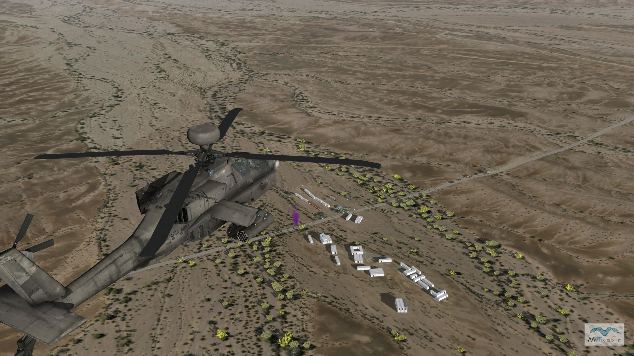
MVRsimulation VRSG real-time scenario with an AH-64E entity in flight over the virtual SOTACC Village MOUT site on Yuma Proving Ground terrain.
SOTACC Village virtual MOUT SITE
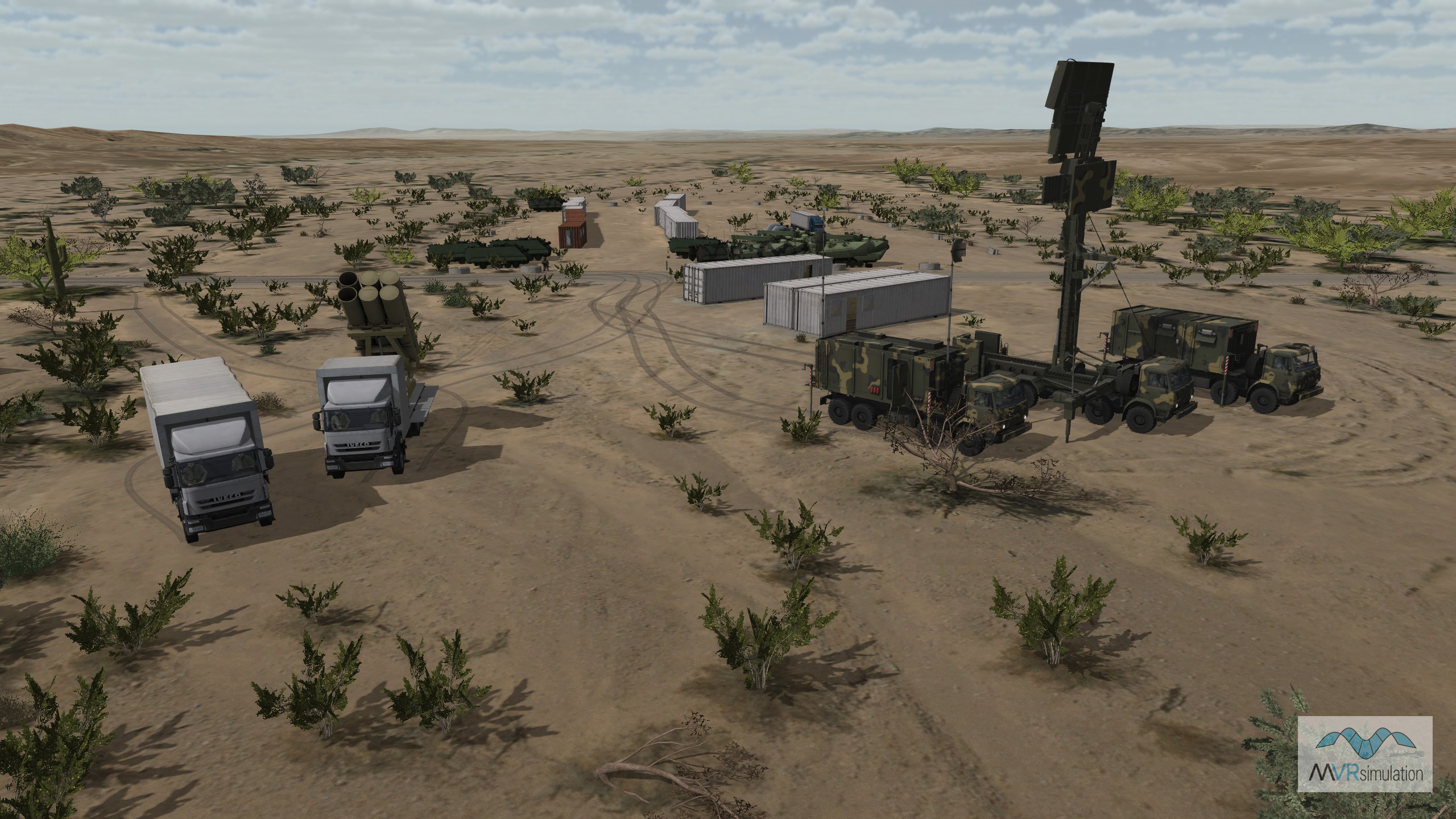
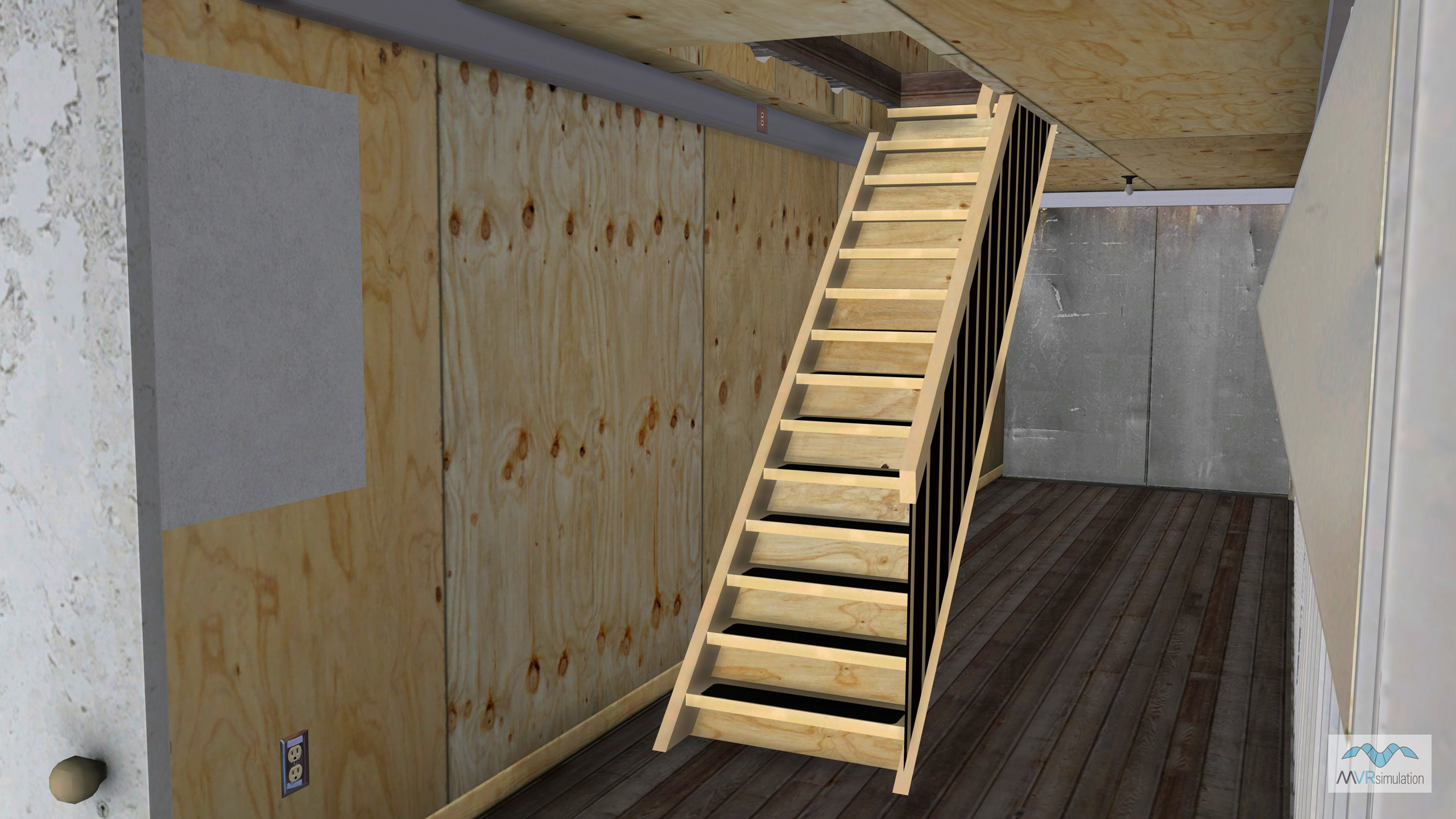
The Special Operations Terminal Attack Controller Course (SOTACC) training facility at U.S. Army Yuma Proving Ground (YPG), Arizona, is represented in the MVRsimulation Yuma Proving Ground terrain database by a detailed virtual replica of the Military Operations on Urban Terrain (MOUT) site. Built using 30 cm per-pixel imagery and 2 meter per-post elevation data, the site features geolocated mobile storage containers (many with fully modeled interiors), fortifications, retired equipment, and other elements accurately placed using aerial imagery references. The detailed interiors of the structures are particularly valuable for ground forces training scenarios, including room clearing, search and seizure operations, and weapons control drills, helping prepare troops for complex urban engagements.
The MOUT site plays a critical role in training by providing a realistic and adaptable environment where warfighters can rehearse missions in settings that mimic real-world operational challenges. The virtual terrain closely mirrors the physical SOTACC site, allowing units to conduct multiple iterations and mission rehearsals in simulation before stepping into the live training environment. This geospecific fidelity enhances spatial awareness, reinforces tactics, and improves coordination between air and ground forces all while saving time and resources. The ability to train repeatedly in a true-to-life virtual replica allows for better preparation and confidence before executing live exercises.
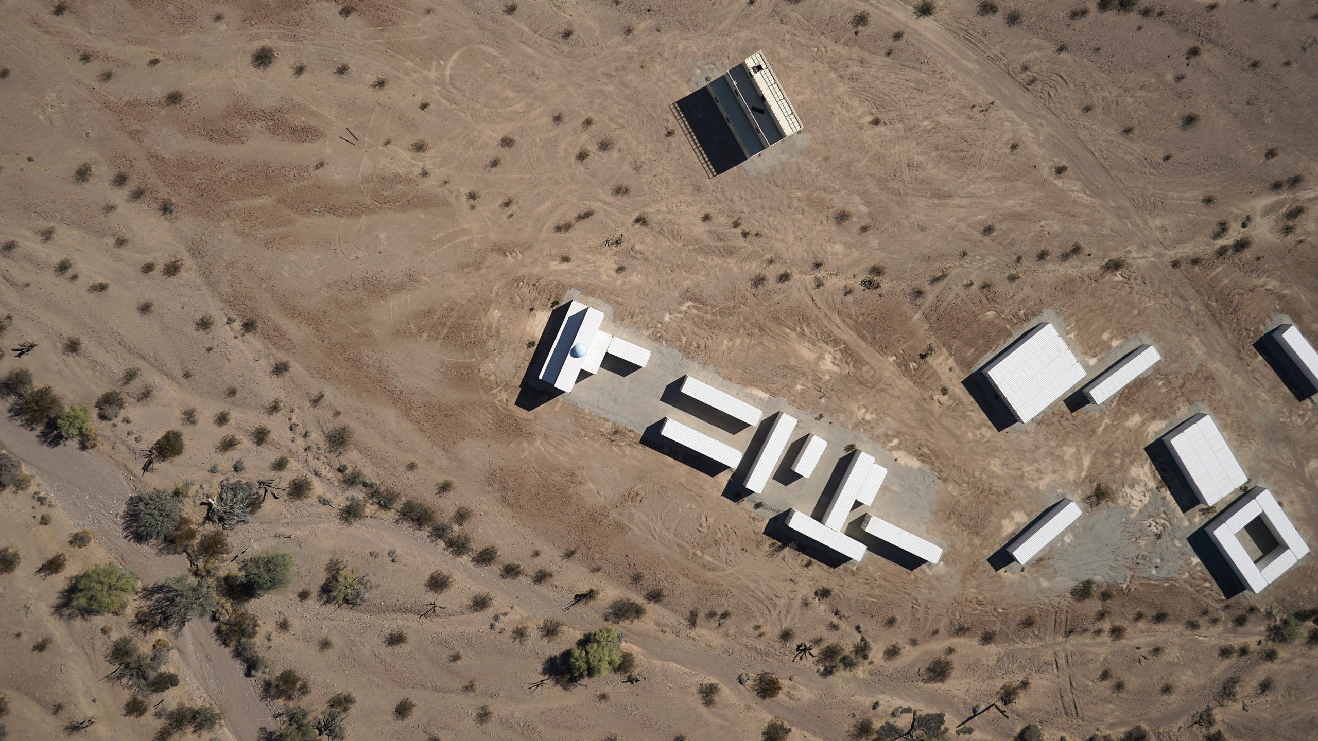
Real imagery of the SOTACC Village MOUT site.
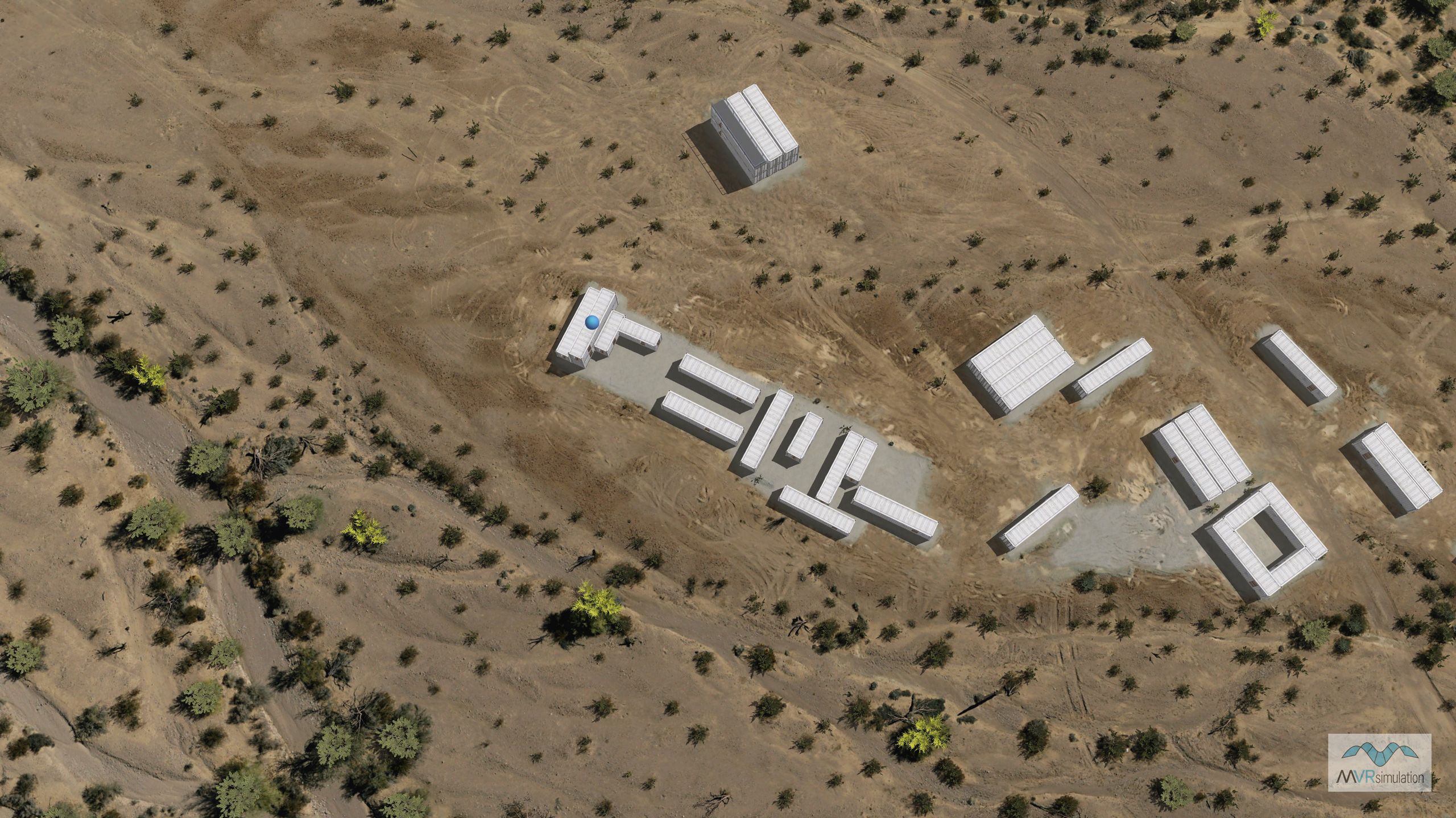
VRSG scene of the SOTACC Village MOUT site.