
Virtual Baghdad
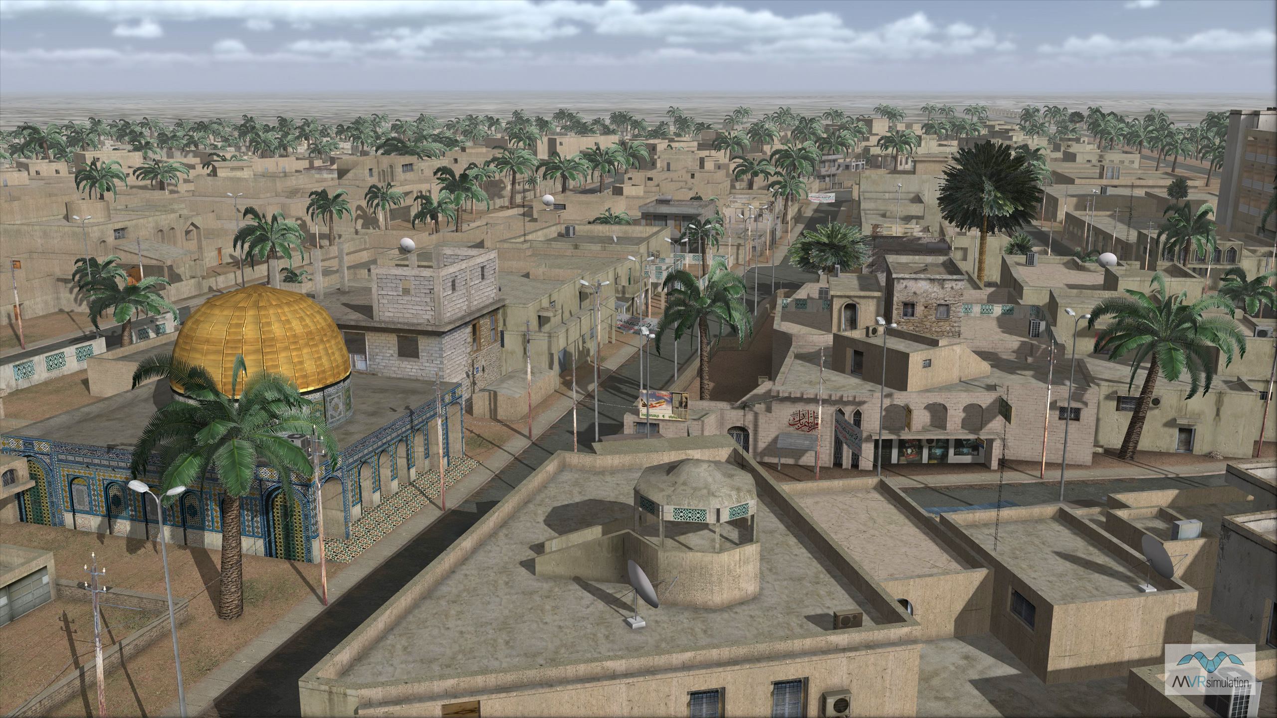
MVRsimulation had built a high-resolution geospecific replica of a portion of Baghdad, Iraq. This terrain had been used by customers with Virtual Reality Scene Generator (VRSG) to create enhanced warfighter training experiences and opportunities prior to deployment, The terrain was built with Terrain Tools for Esri ArcGIS from 60cm Digital Globe Citysphere imagery of Baghdad, surrounded by 1 meter black and white imagery, color-fused by MVRsimulation using 15mpp Landsat-based color imagery, and DTED 2 elevation data.
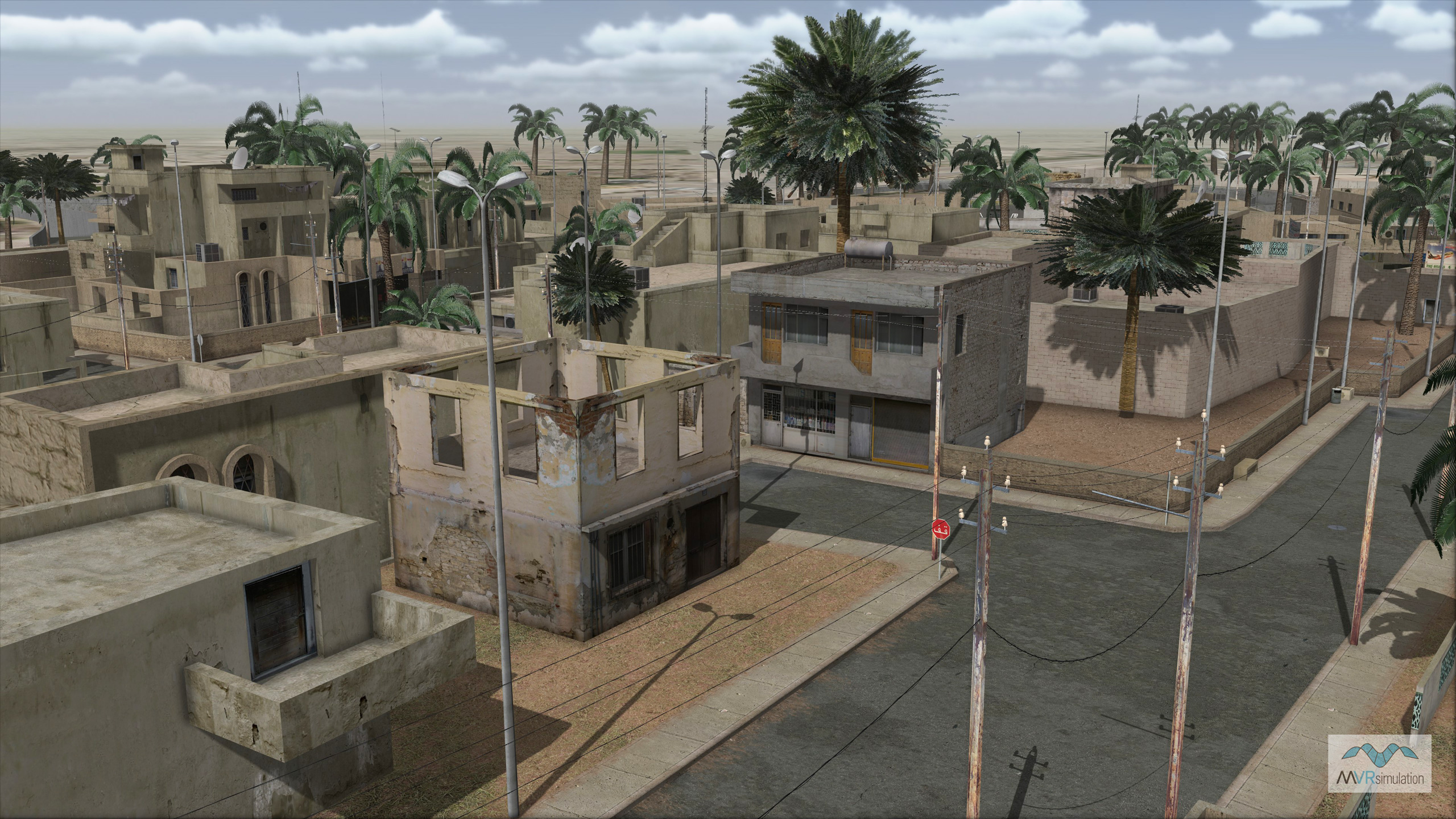
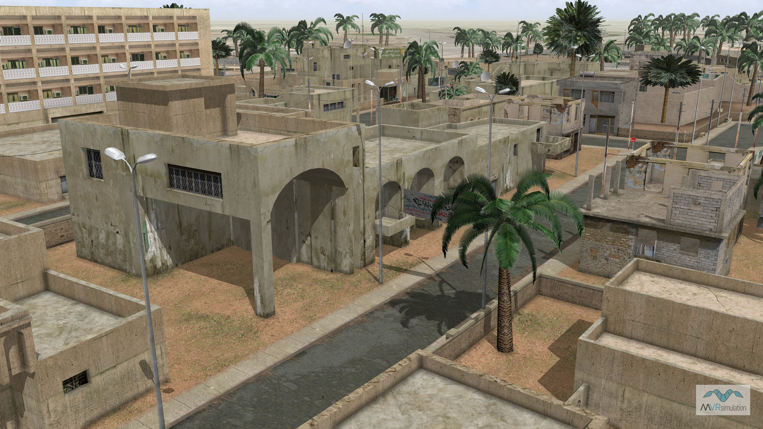
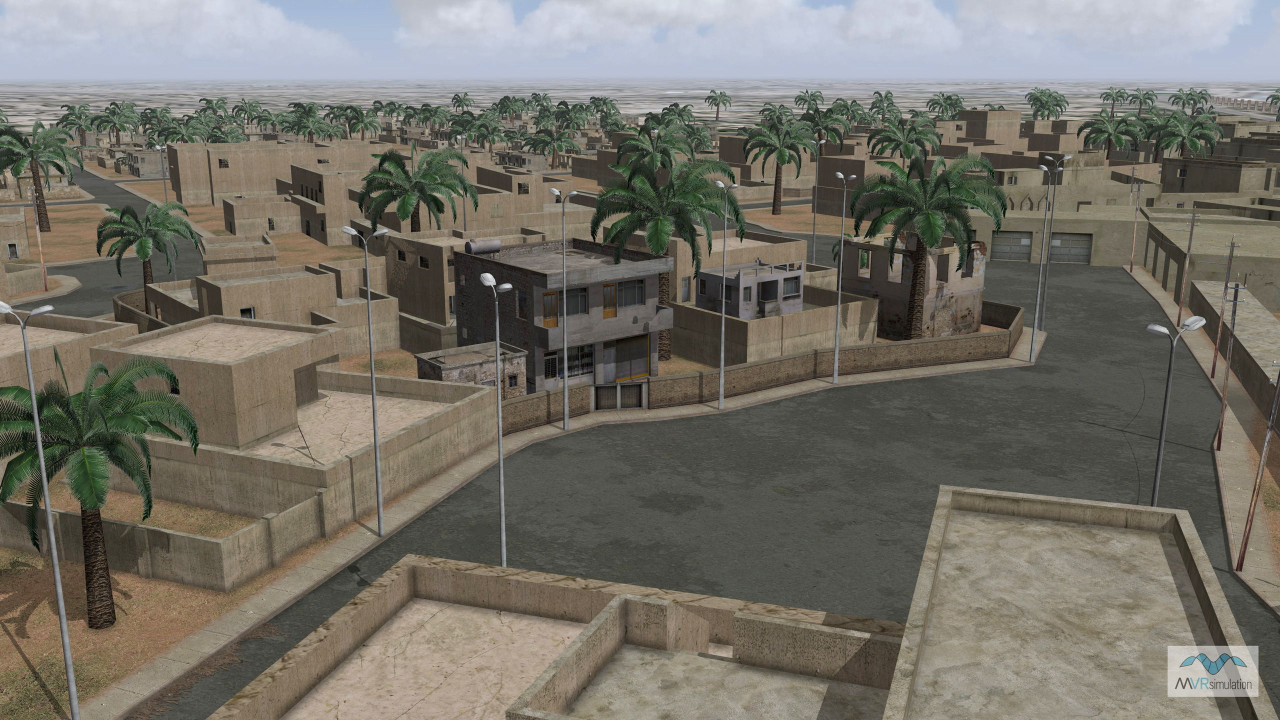
The area of built-up culture includes a modeled neighborhood next to the Green Zone with several city blocks of photo-realistic buildings and other cultural elements.
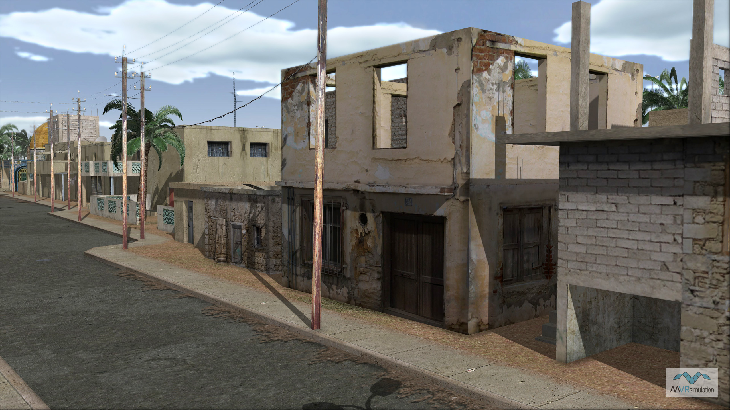
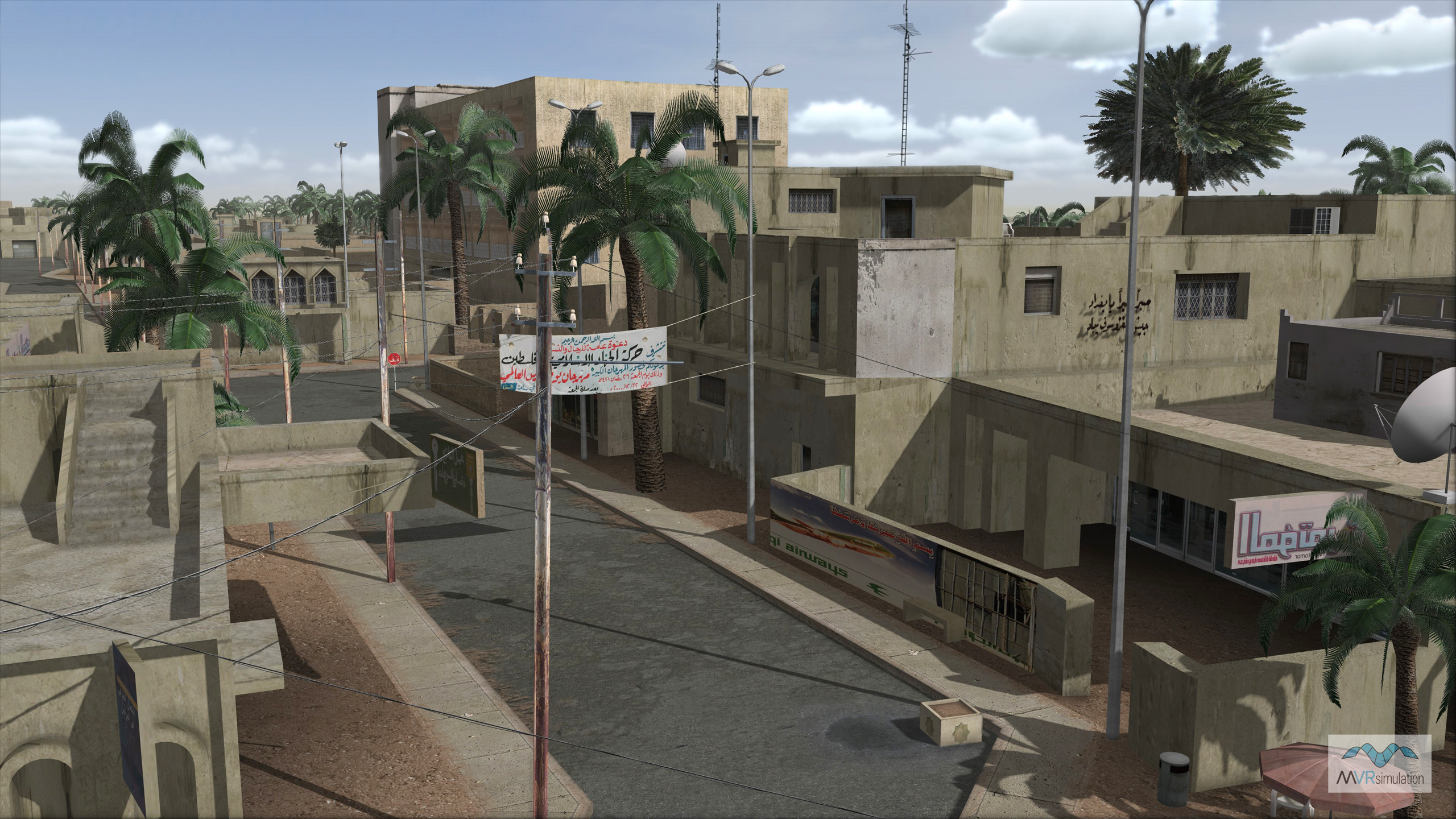
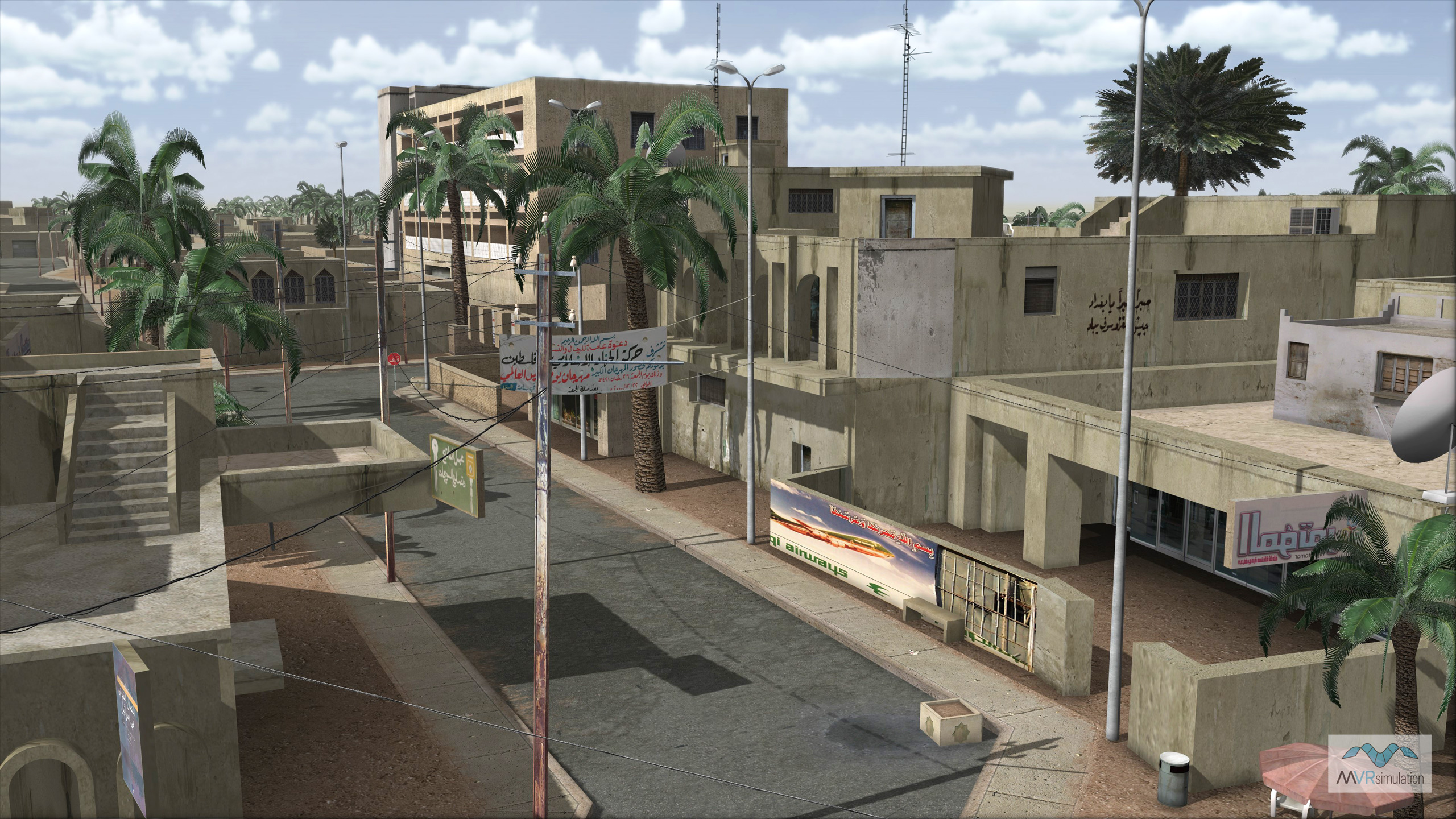
Cultural elements include photo-realistic buildings (residential, office, and commercial buildings, and mosques) signs, sewer pipes, power lines, street lights, curbs, concrete and wire fences, culverts, a control tower, water towers and trees of varying types. Many of these culture models were built with photo-realistic textures based on public domain photographs of the Baghdad area; the models are in MVRsimulation's 3D model libraries.
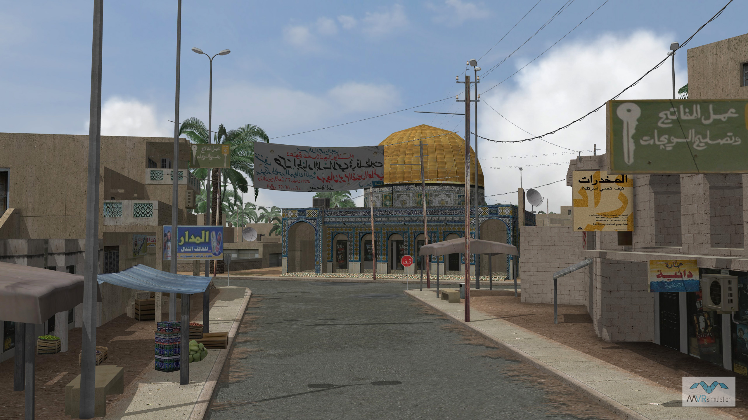
MVRsimulation VRSG street scene showing some features modeled specifically for the Baghdad 3D terrain.