Tripoli, Libya Terrain Database Information
- Imagery: 60cm
- Elevation: SRTM 90
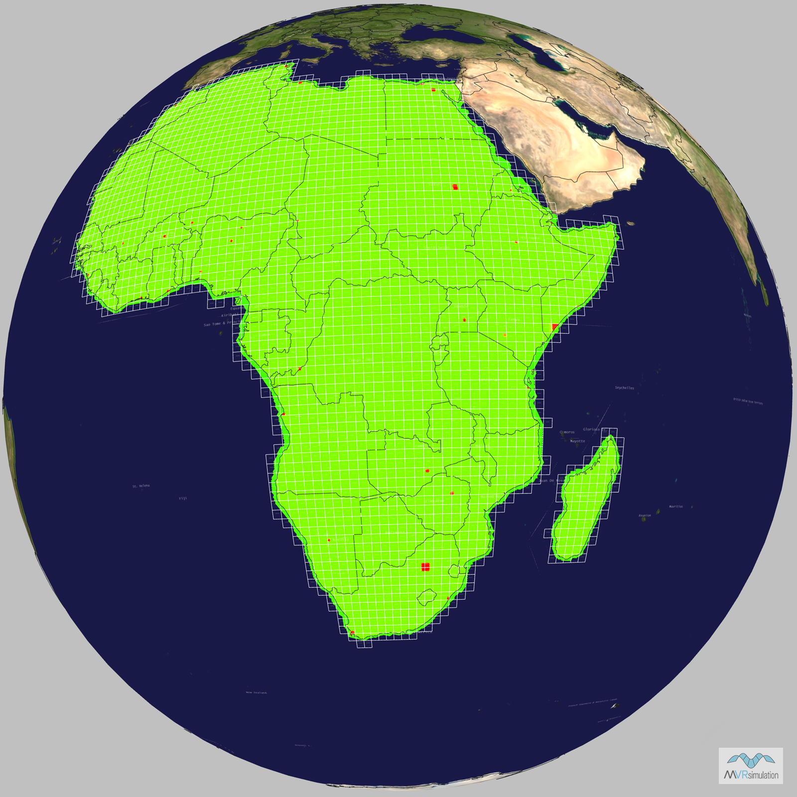
- Terrain Drive: Africa
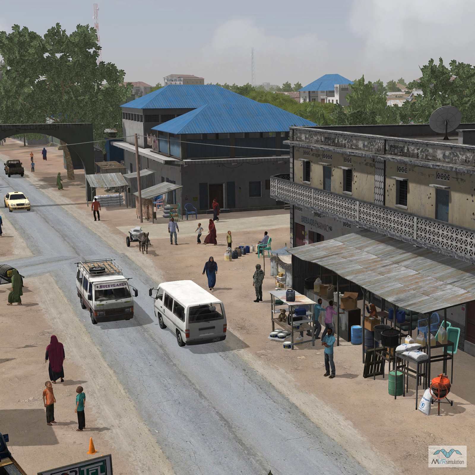
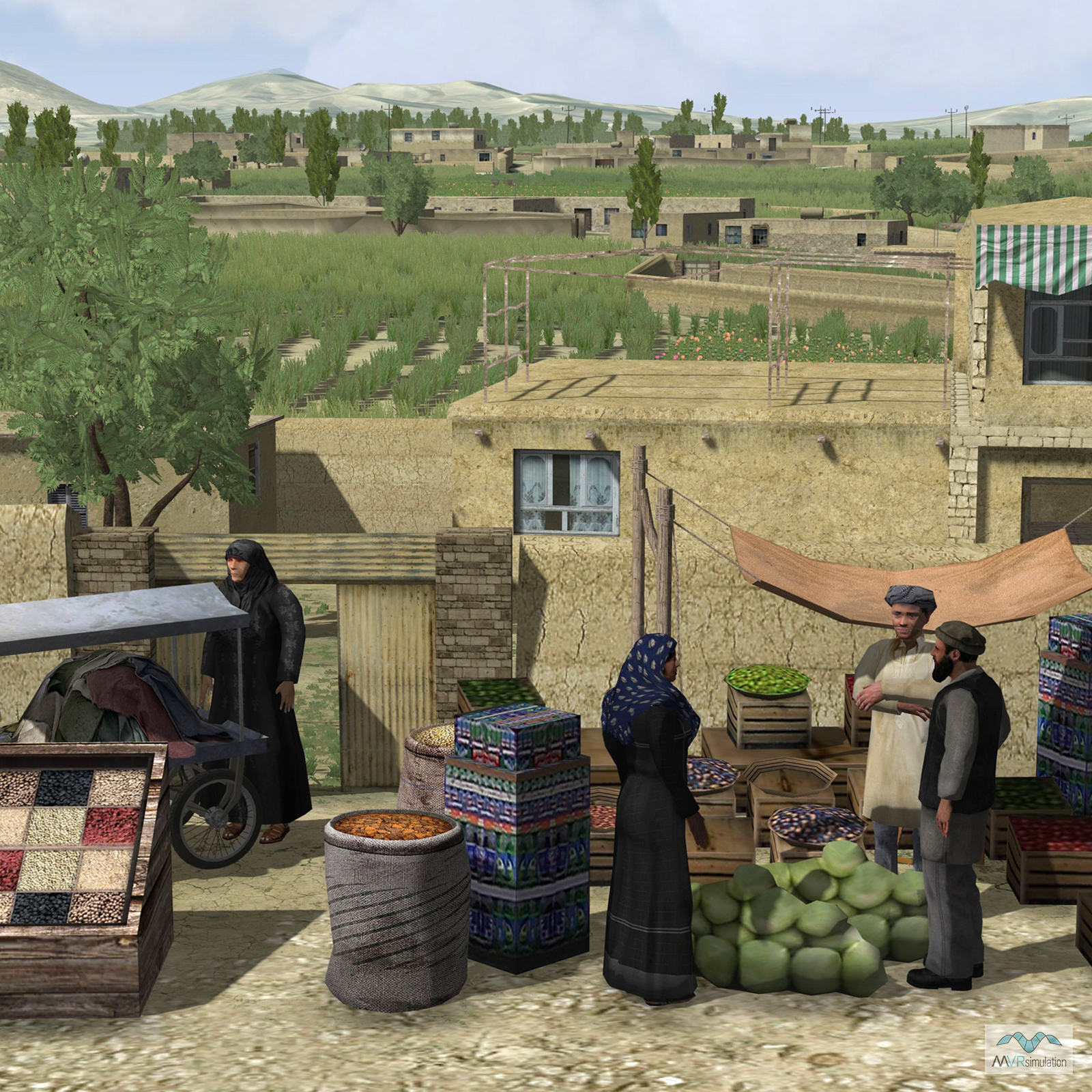
- Cultural Features: CityEngine (Geotypical) Buildings, Custom Models (Geospecific Buildings), Landscape Features (Shrubs, Grass, Paved Medians, etc.), Lighting for Non-Runway Areas (Streetlights), Roads, Trees, Vehicles (Trucks, Cars, Military Equipment, etc.), Water Tanks/Towers
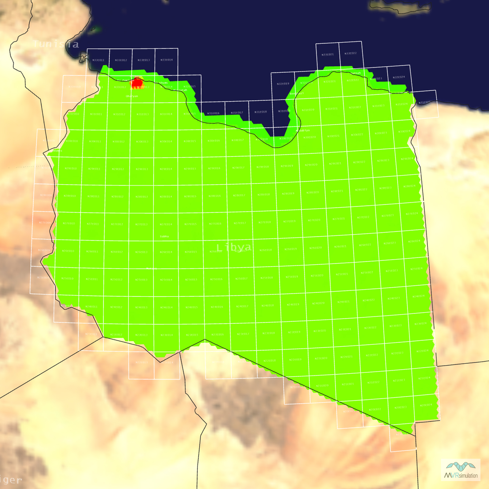
Tile Coverage Map
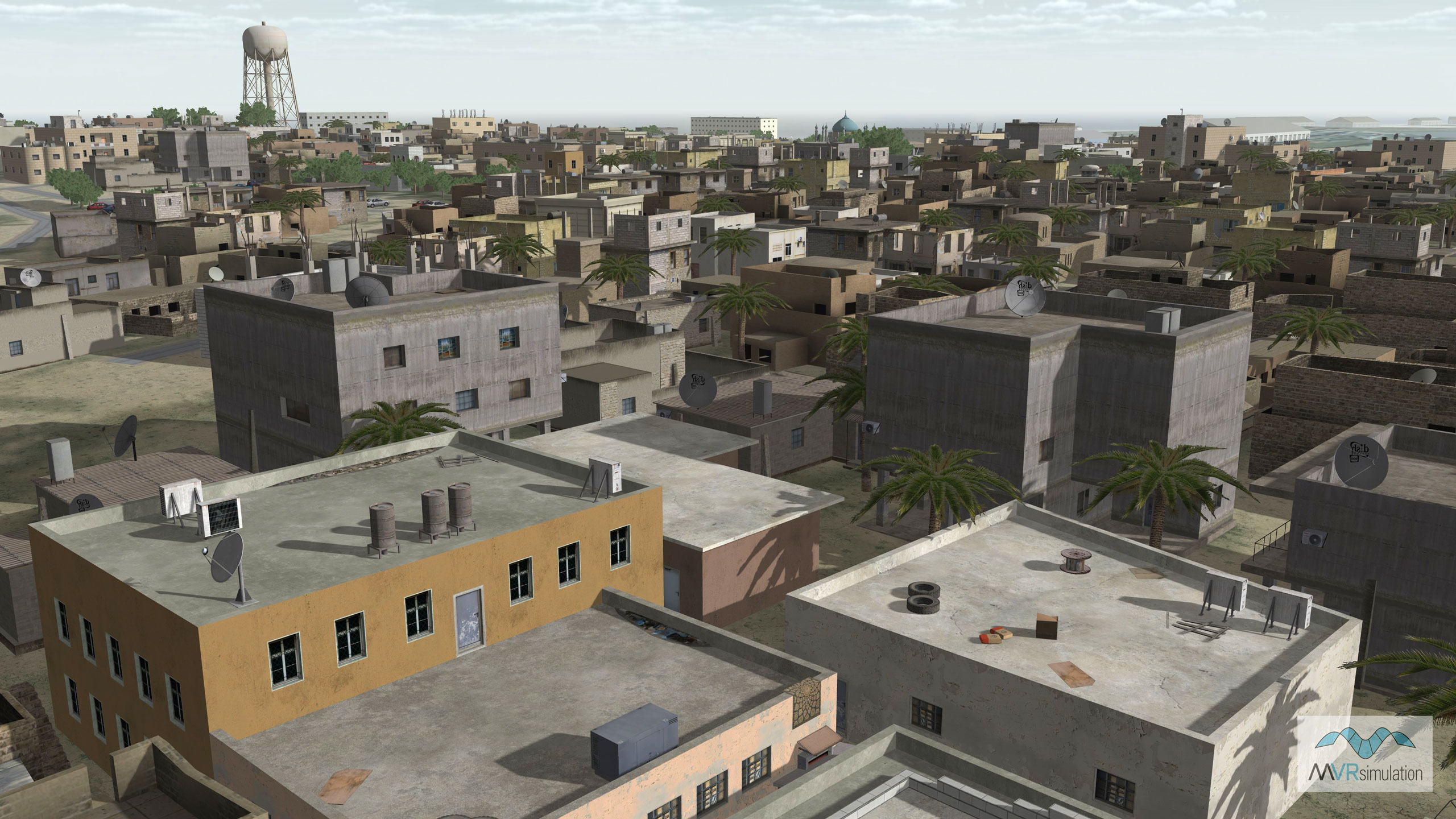
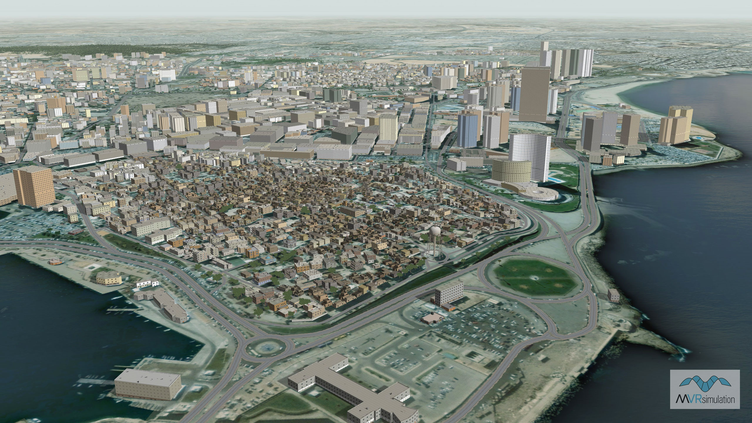
VRSG scene of Tripoli, Libya including geotypical procedural buildings, vegetation, uban culture, and a water tower.
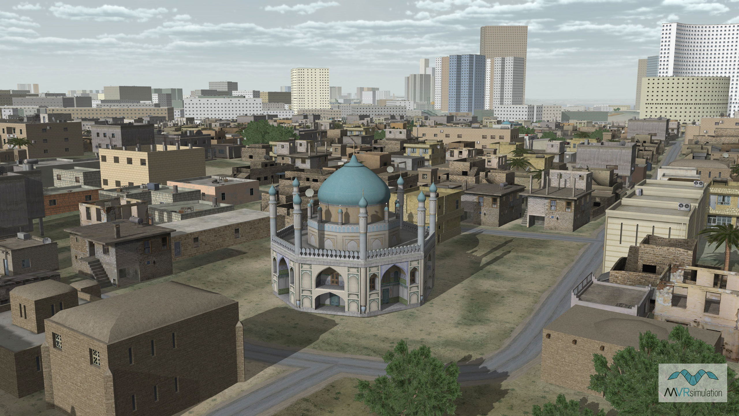
Geotypical procedural buildings of Tripoli's city center surrounded by geotypical custom 3D building models.
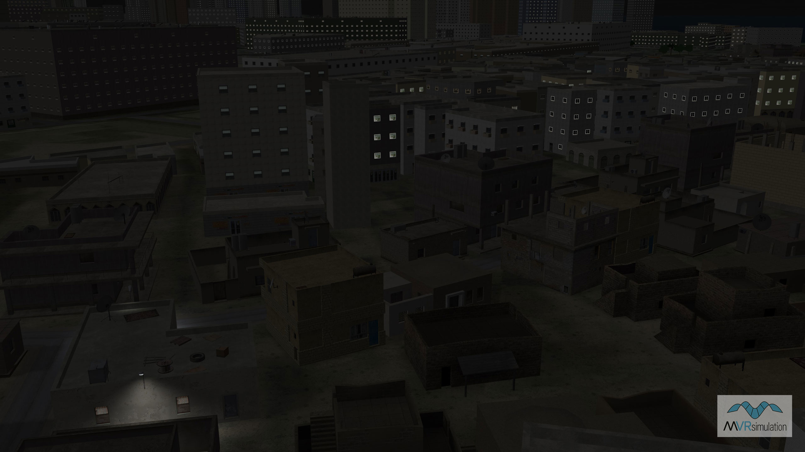
The VRSG Tripoli, Libya terrain database includes building with lights and light lobes.