Kharkiv, Ukraine Terrain Database Information
- Imagery: 60cm
- Elevation: 90m
- Terrain Drive: Europe
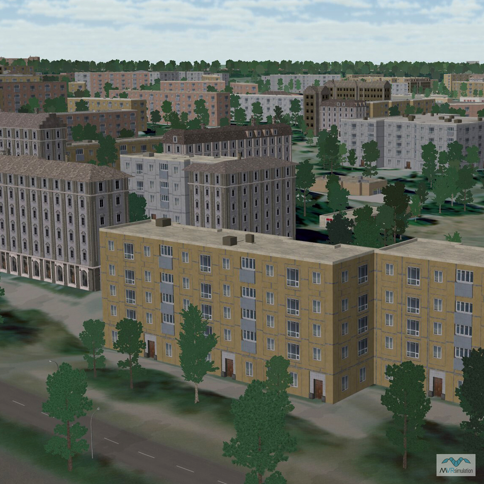
- MVRsimulation's high-resolution, geotypical urban Ukraine MOUT site situated in the city area of Kharkiv. This detailed geotypical model of five unique city blocks is comprised of over 40 buildings in different configurations conducive to urban combat training.
- Detailed multi-level interiors of residential and office buildings, such as walls, hallways, stairwells, windows, doorways, and attics, enable trainees to reproduce natural firing positions within training exercises.
- Cultural Features: Building Interiors, Geotypical Buildings, Fences or Walls, Landscape Features (Shrubs, Grass, Paved Medians, etc.), Light Poles, Roads, Trees, Urban Furniture (Benches, Trash Bins, etc), Utilities (Poles, Powerlines or Transmission Lines)
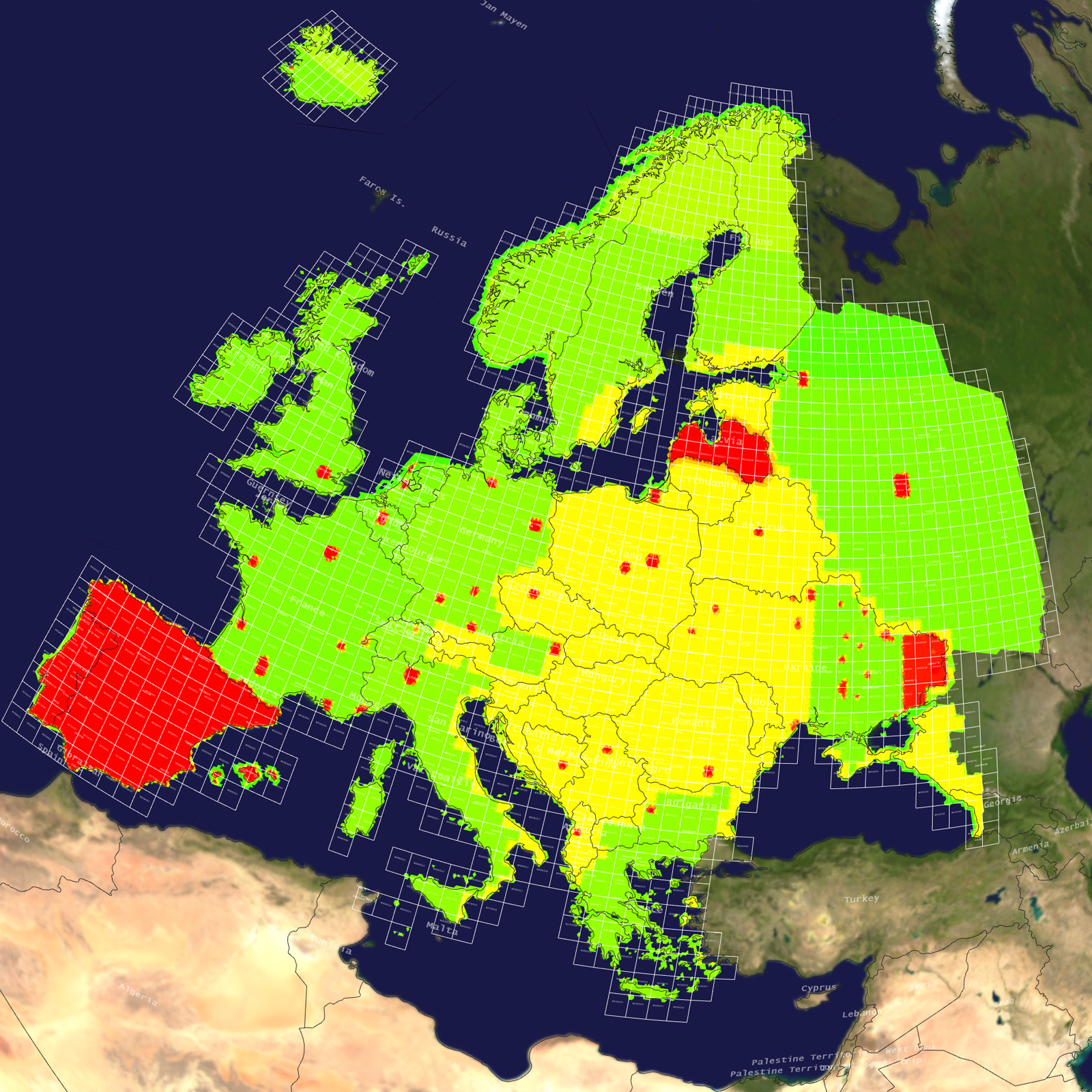
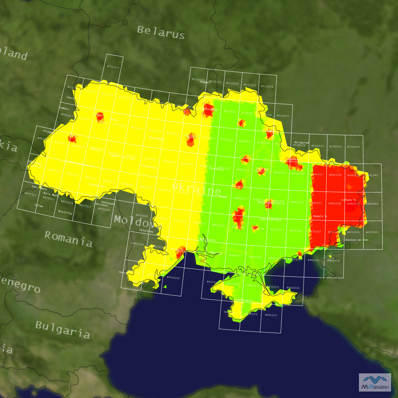
Tile Coverage Map
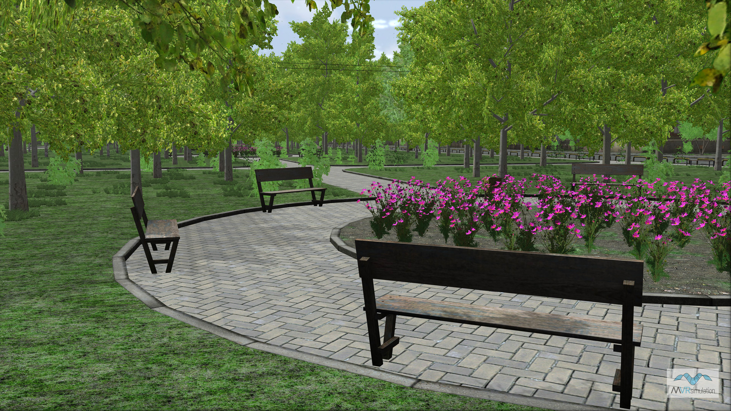
MVRsimulation VRSG real-time scene of a neighborhood park on the geotypical urban Kharkiv, Ukraine MOUT site.
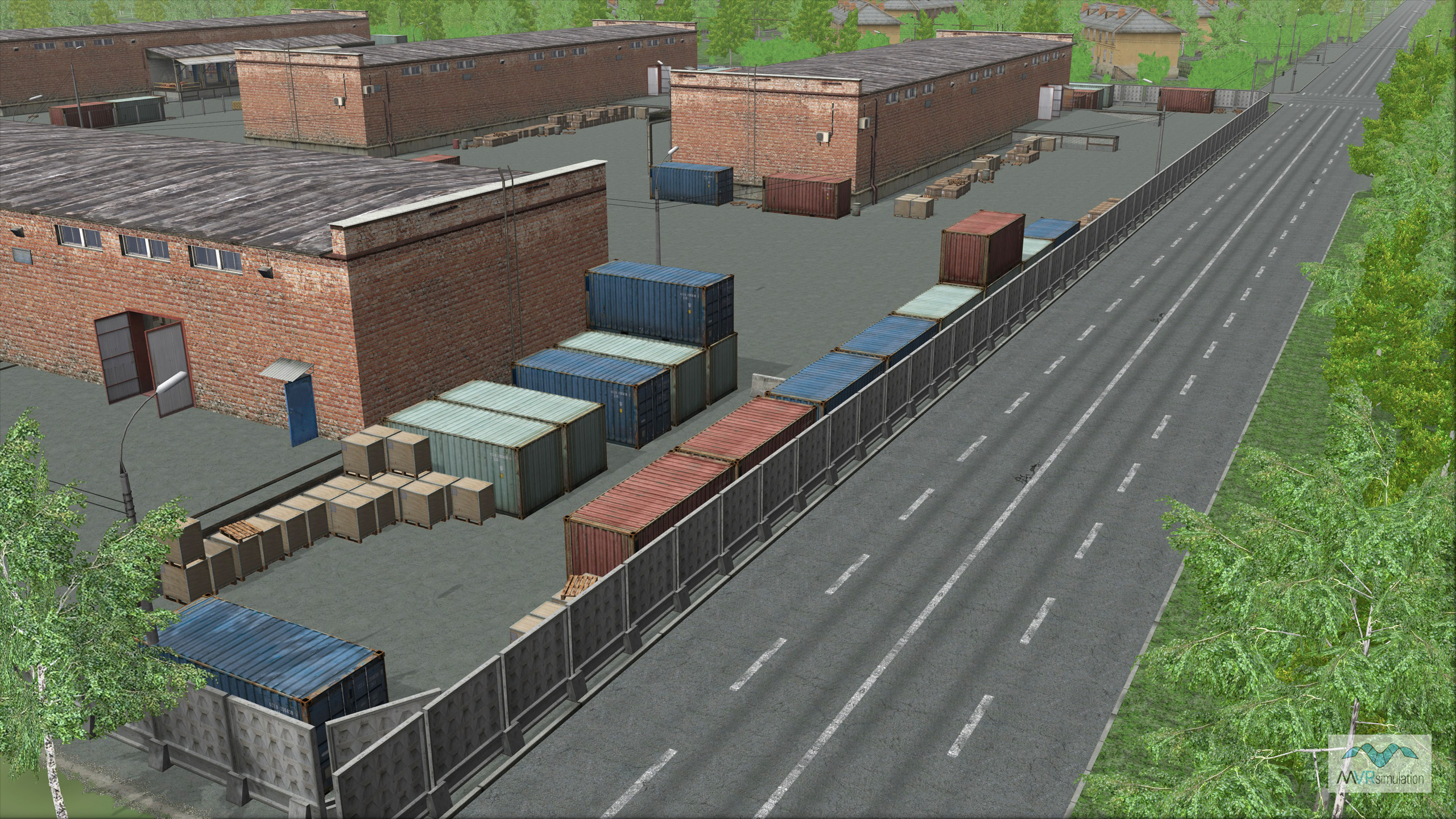
MVRsimulation VRSG real-time scene of a warehouse on the geotypical urban Kharkiv, Ukraine MOUT site.
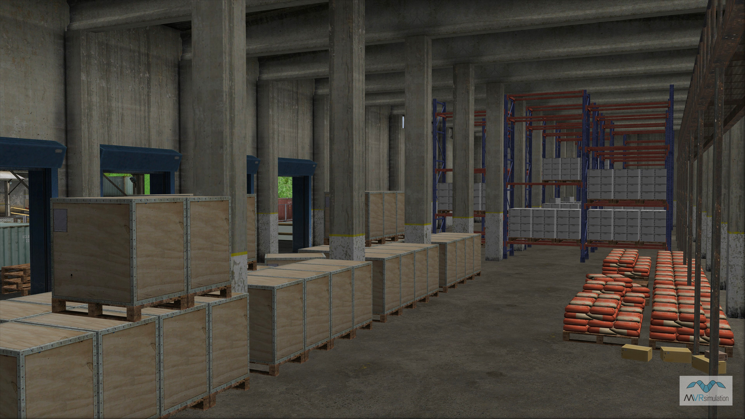
MVRsimulation VRSG real-time scene of the interior of a warehouse on the geotypical urban Kharkiv, Ukraine MOUT site.
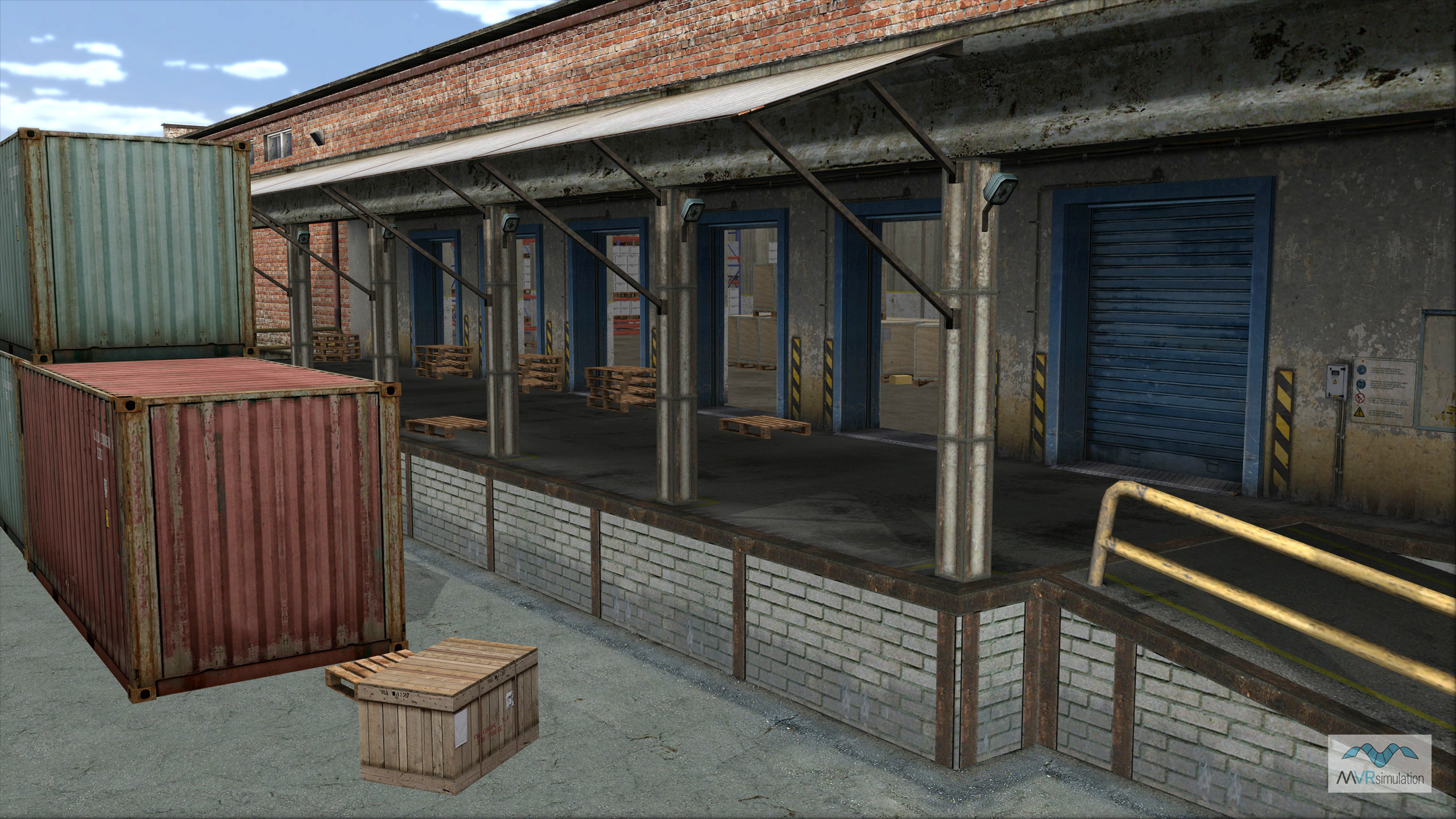
MVRsimulation VRSG real-time scene of a warehouse loading dock on the geotypical urban Kharkiv, Ukraine MOUT site.
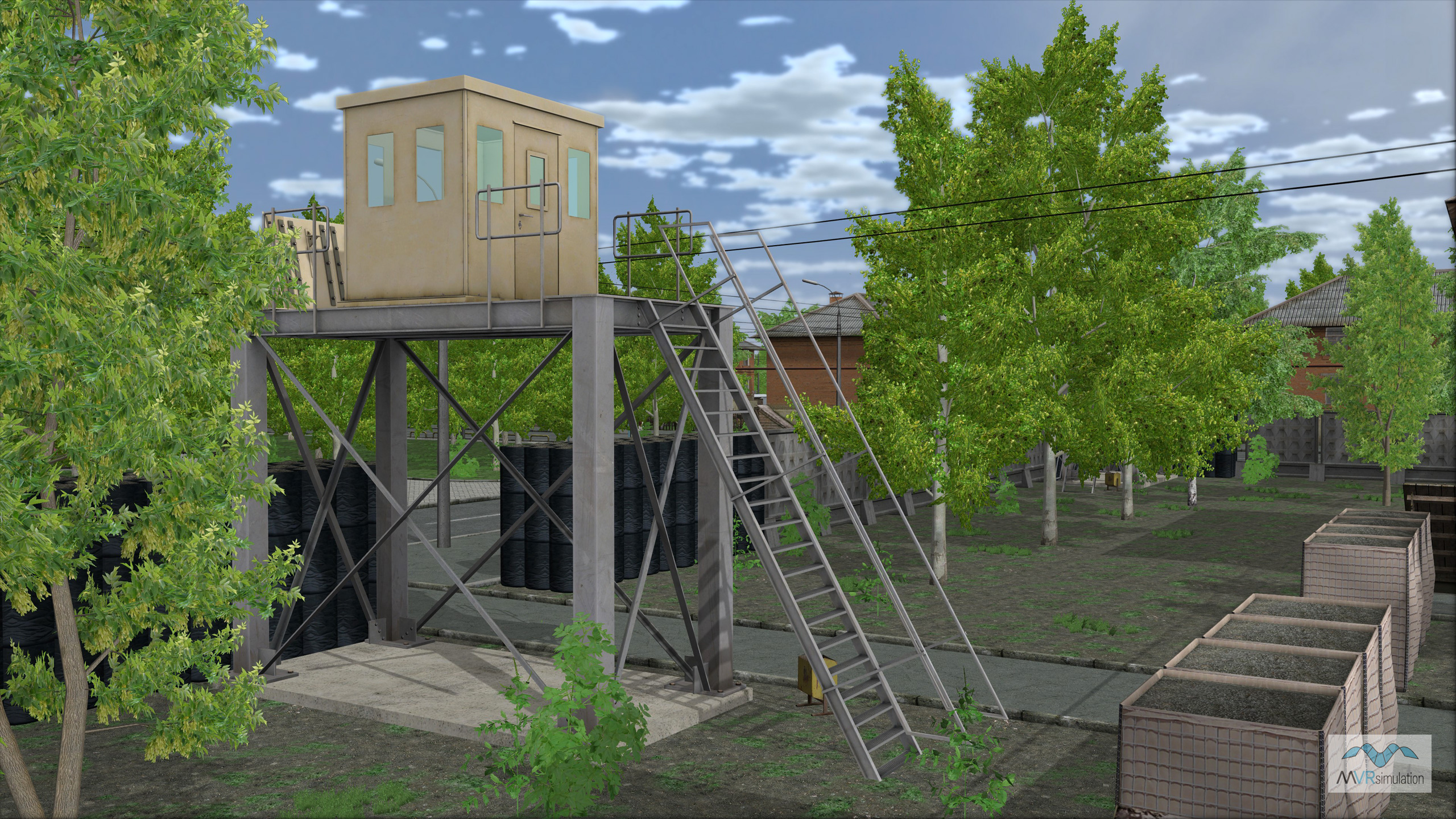
MVRsimulation VRSG real-time scene of a watchtower on the geotypical urban Kharkiv, Ukraine MOUT site.
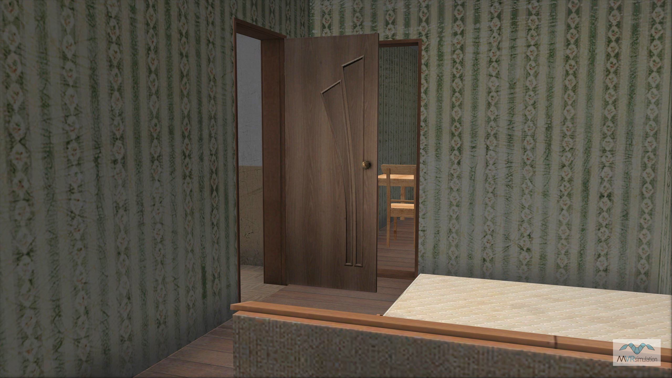
MVRsimulation VRSG real-time scene of the interior of a residential building on the geotypical urban Kharkiv, Ukraine MOUT site.
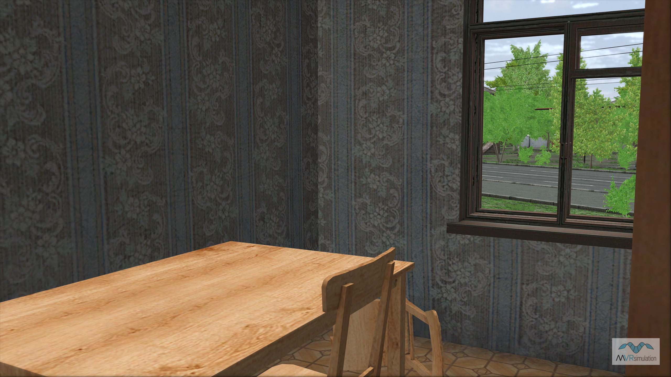
MVRsimulation VRSG real-time scene of the interior of a residential building on the geotypical urban Kharkiv, Ukraine MOUT site.