
White Sands Missile Range

White Sands Missile Range

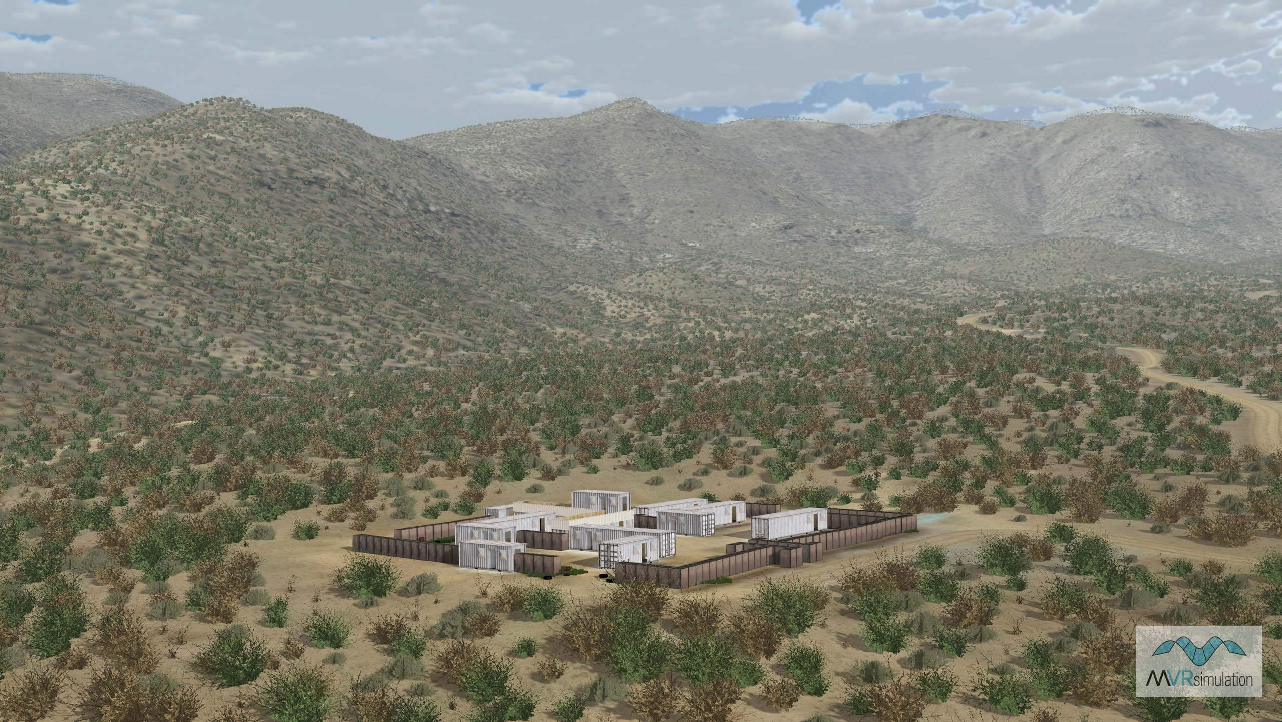
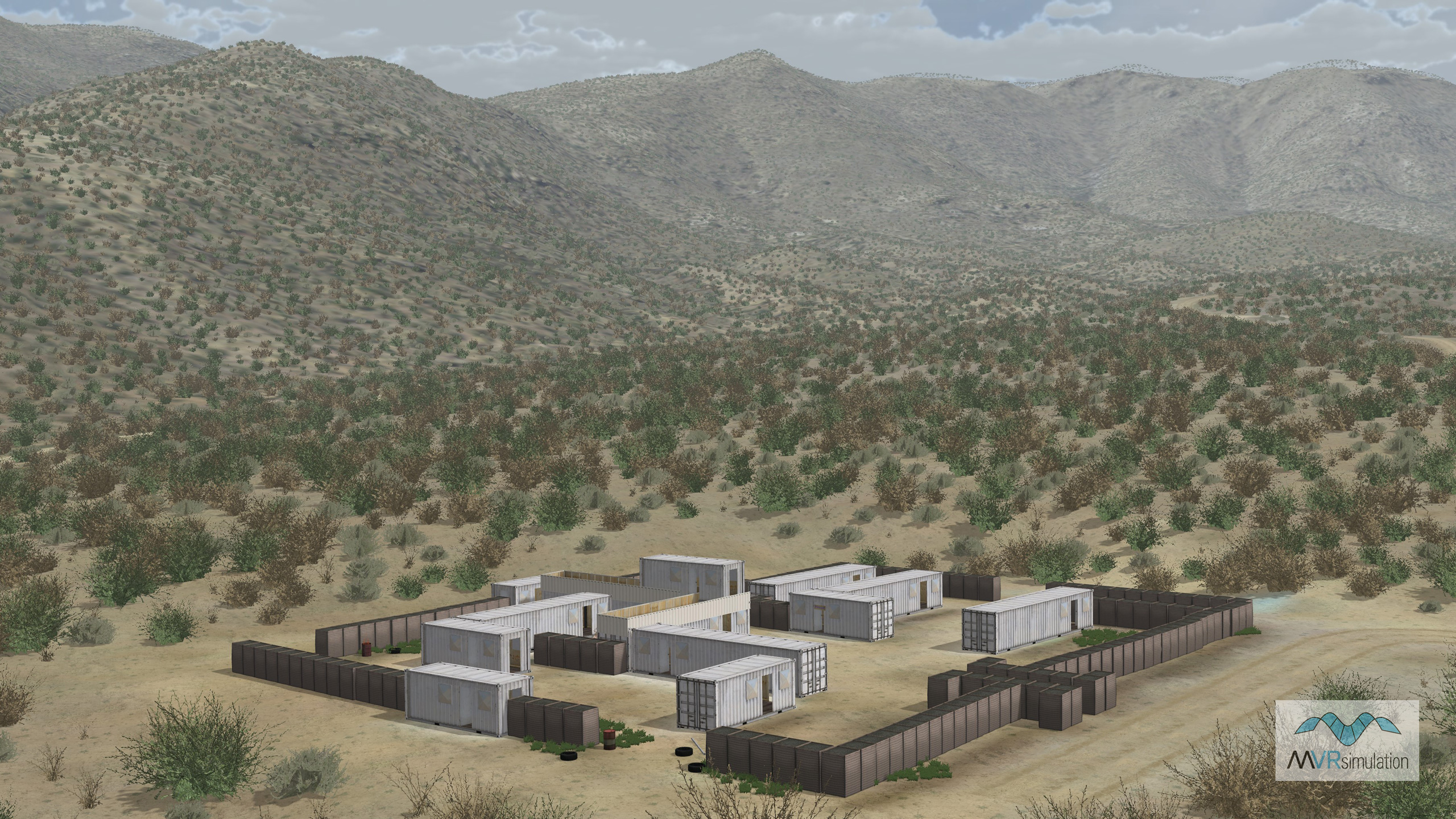
White Sands Missile Range Terrain Database Information

  • Imagery: 1m
  • Elevation: NED 10
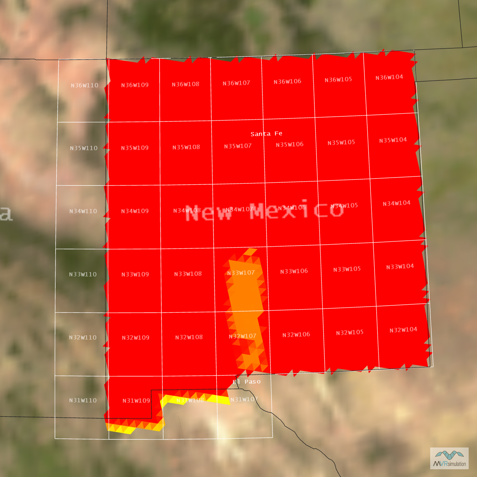
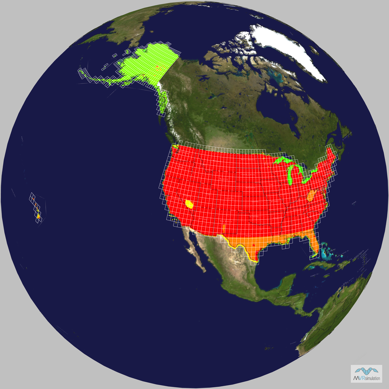
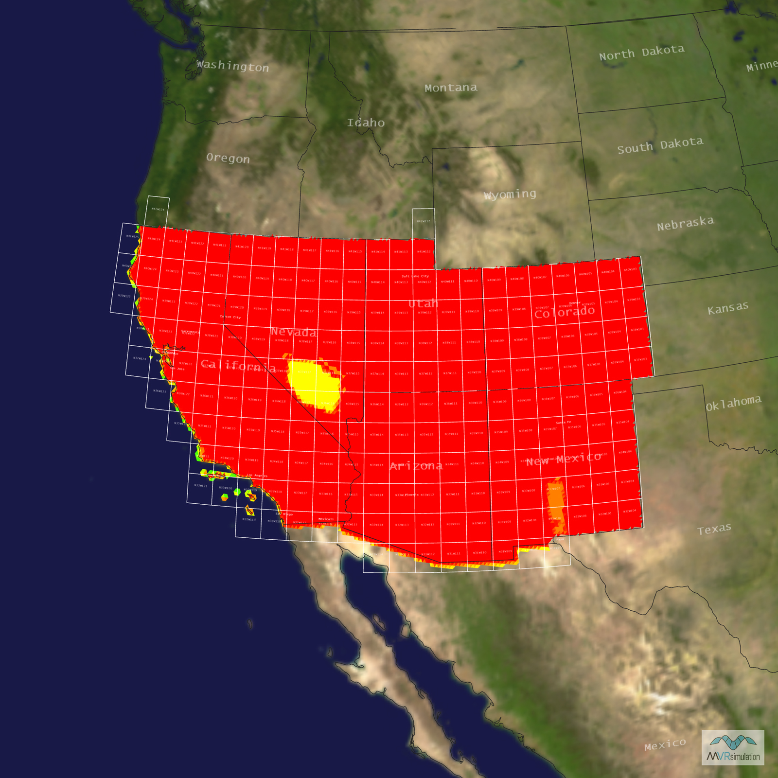
  • Terrain Drive: CONUS Southwest
  • Cultural Features: Landscape Features (Shrubs, Grass, Paved Medians, etc.), Military Specific Elements (Shelters, Bunkers, Watchtowers, etc.), Roads, Urban Furniture (Benches, Trash Bins, etc), Vehicles (Trucks, Cars, Military Equipment, etc.)

Tile Coverage Map

Related Terrain

EXTEND YOUR TERRAIN DATABASE

MVRsimulation Downloads Server

  • Explore and implement terrain updates
  • Download and use new 3D models
  • Stay up-to-date with VRSG features
  • Discover utilies for expanding VRSG
    Filler for Spacing

Request Account

MVRsimulation Regional Terrain Drives

  • External hard drive - regional terrian
  • Network attached storage device - whole-world terrain
  • Ready for plug and play
  • Available to customers on active maintenance
    Filler for Spacing

Request Drive

MVRsimulation Produced Custom Terrain

  • Custom terrain created by MVRsimulation's terrain team
  • Specify your desired area of interest
  • Indentify needed terrain features.
  • Use your own or commercially available imagery
    Filler for Spacing

Request Quote

Create Terrain with Terrain Tools

  • Build real-time 3D terrain for VRSG using GIS technology with ArcGIS Pro
  • Designed to be user-friendly for users with basic ArcGIS knowledge
  • Use imagery, elevation, and optional vector data to create terrain
  • Compile buildings from 2D polygon footprint features using a CityEngine rule package
    Filler for Spacing

Terrain Tools