Prescott, Arizona Terrain Database Information
- Imagery: sUAS collected imagery of the road at 5mm per pixel ultra-high resolution imagery blended into 2.5cm imagery of the shoulder; seemlessly blending into the surrounding 1m per pixel imagery.
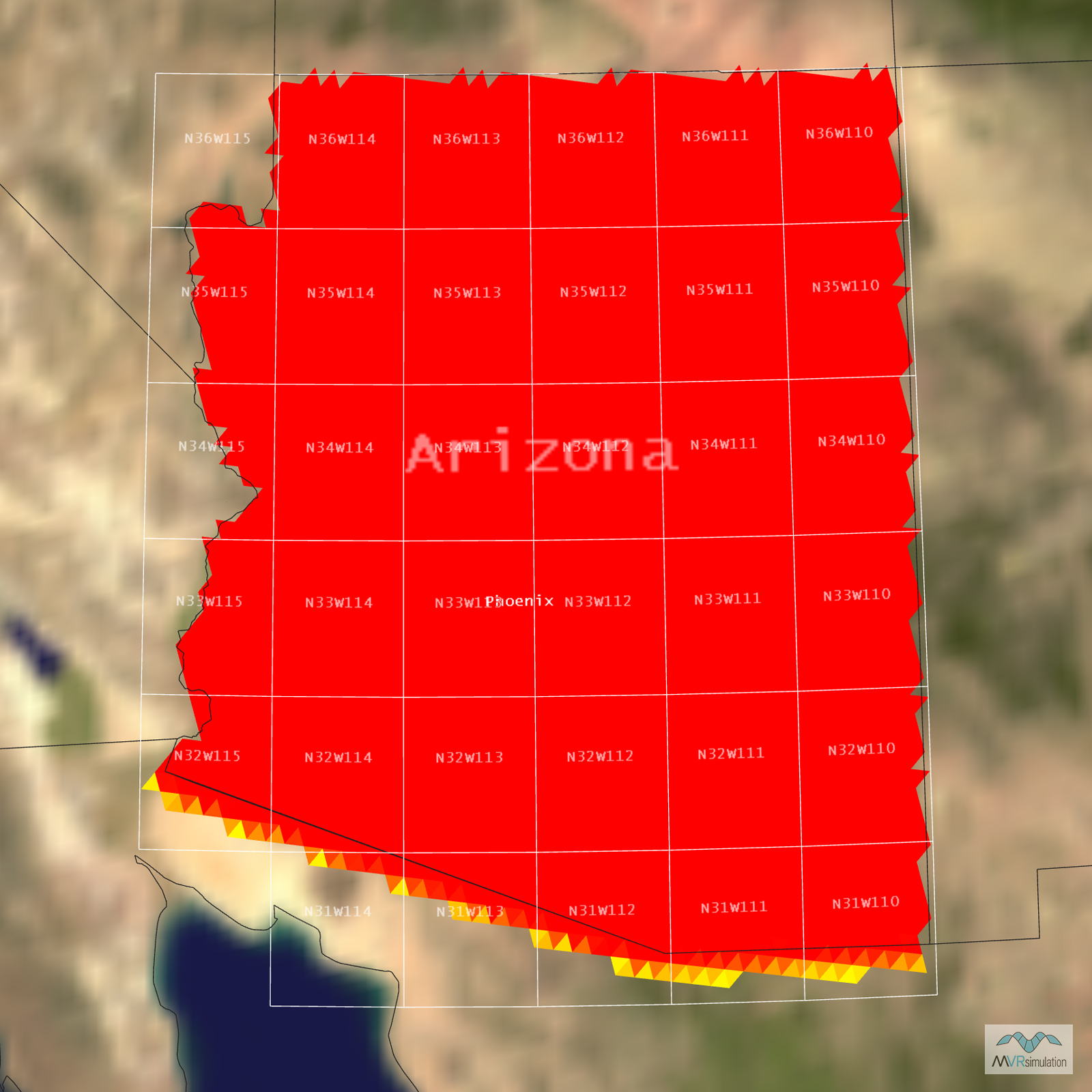
- Elevation: NED 10
- Terrain Drive: CONUS Southwest
- Cultural Features: Custom Models (Geospecific Buildings), Landscape Features (Shrubs, Grass, Paved Medians, etc.), Light Poles, Lighting for Non-Runway Areas (Streetlights), Roads, Trees
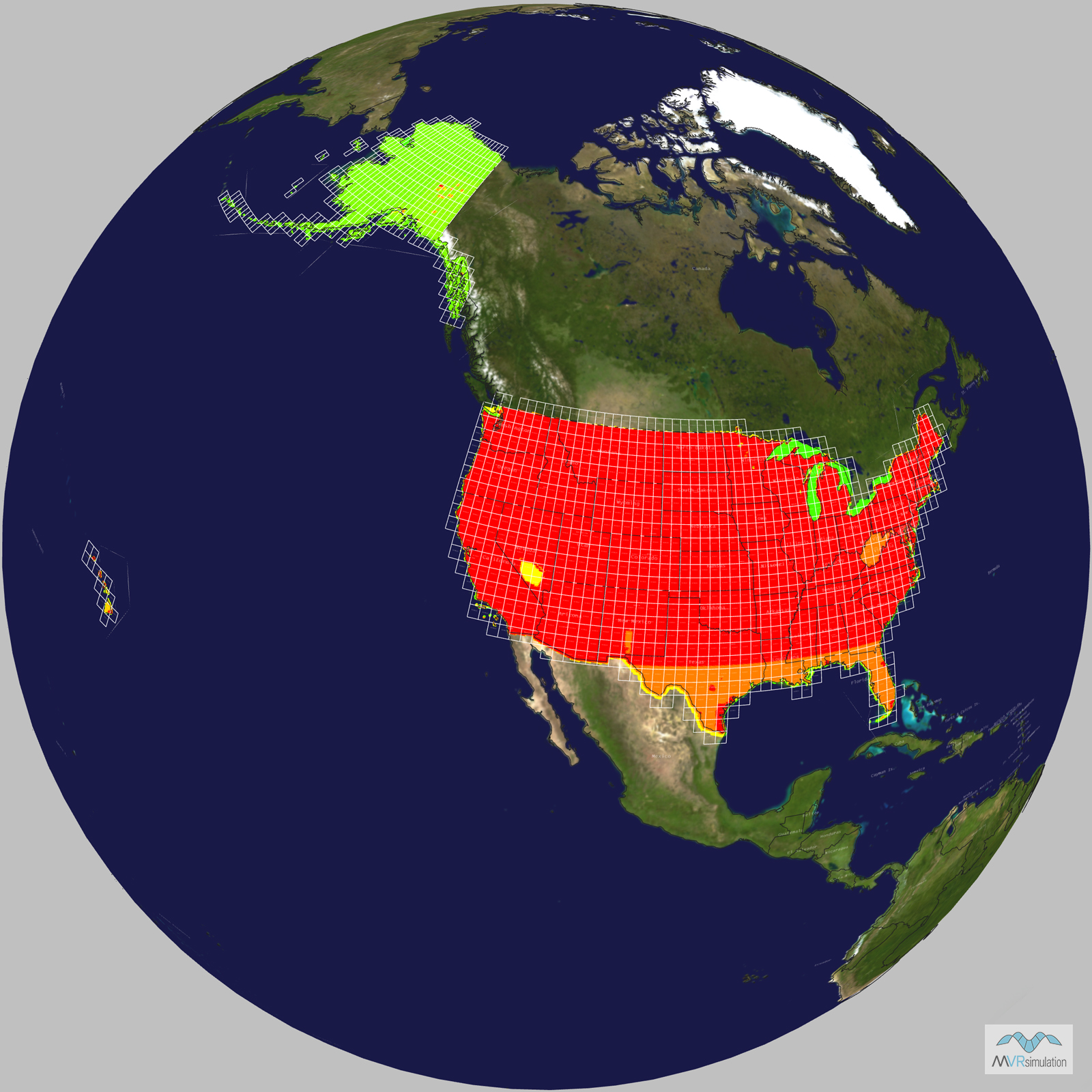
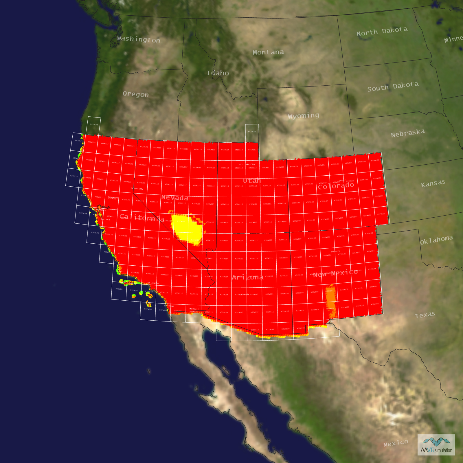
Tile Coverage Map
Ultra-high resolution UAS imagery
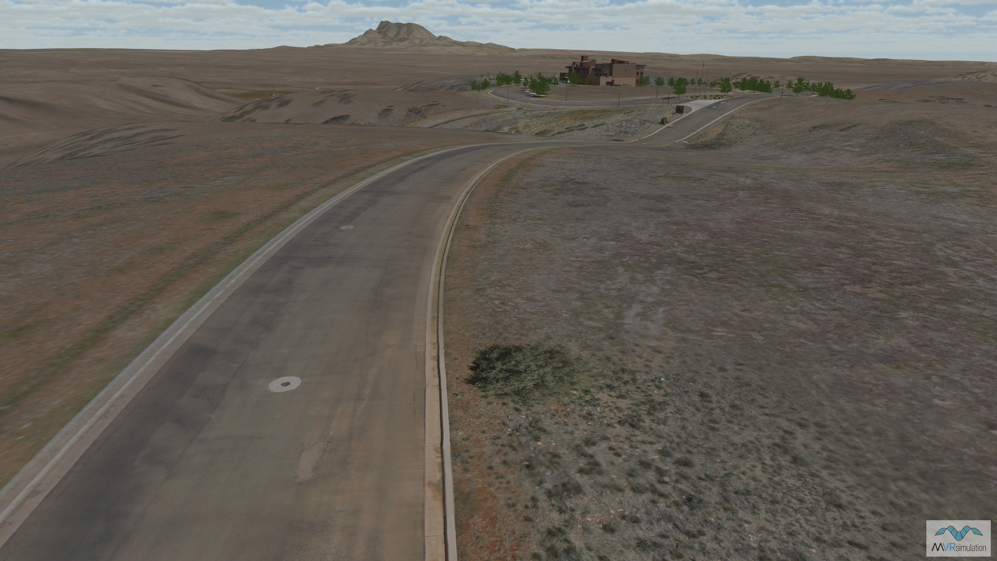
To showcase how we can quickly build small, ultra-high-resolution inset terrains, we chose an area in Prescott Valley, AZ. We collected the imagery for this project using a small unmanned aerial system (UAS). The UAS flew at low altitude, capturing imagery at a stunning 2.5 cm (1 inch) per pixel resolution. For even more detail on the main road in the area, we flew the UAS lower to collect imagery at a higher 5 mm per pixel resolution.
Terrain Tools for ArcGIS Pro was used to process the imagery into the round-earth VRSG terrain format and blend the ultra-high-resolution imagery with the existing CONUS Southwest terrain. The ultra-high resolution 5 mm imagery of the road was seamlessly blended with the 2.5 cm imagery at the road's shoulder, and the 2.5 cm imagery was then blended into the underlying 1-meter per pixel imagery. The final product is a geospecific terrain with stunningly detailed features that are critical for realistic military training scenarios.
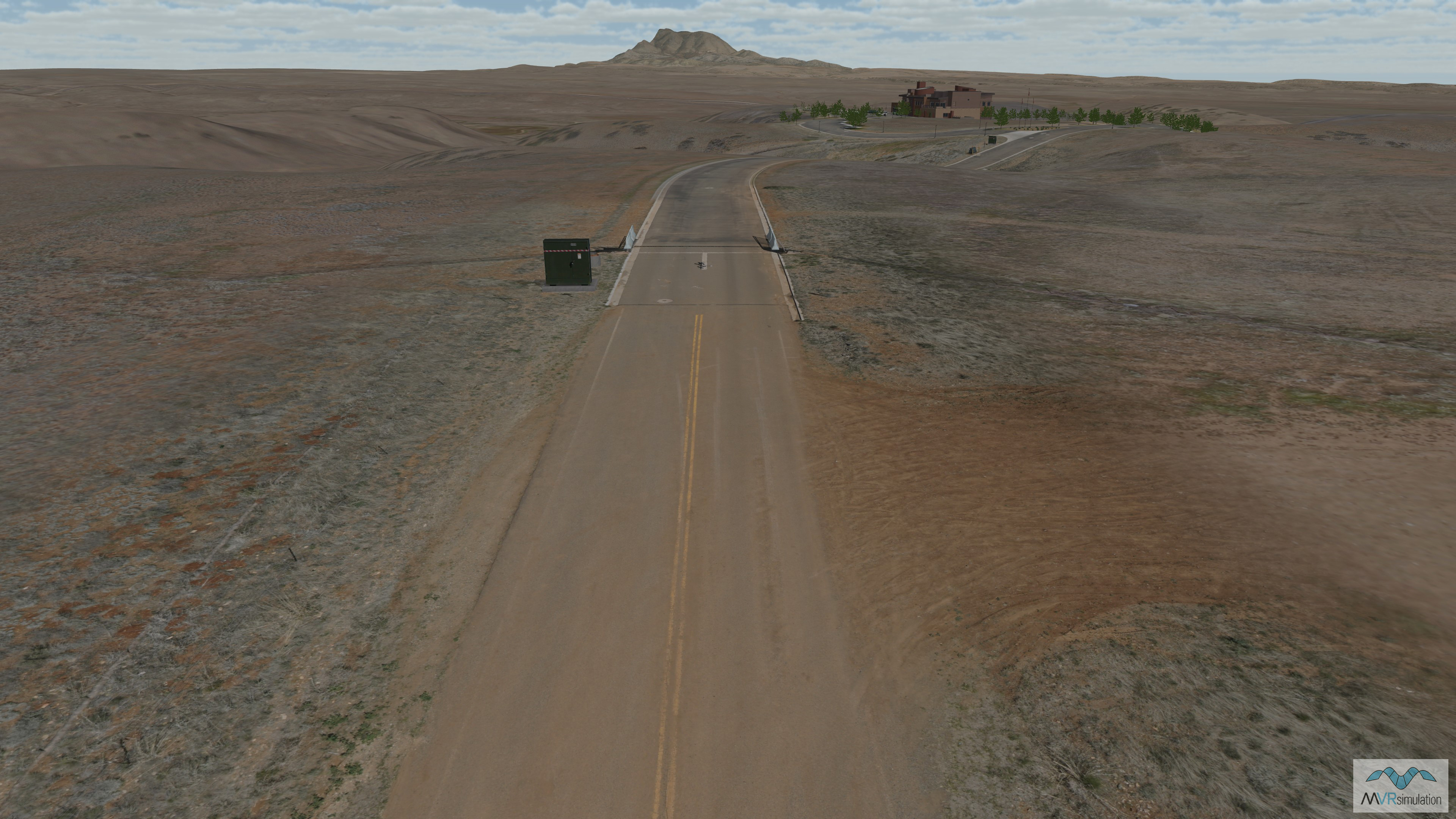
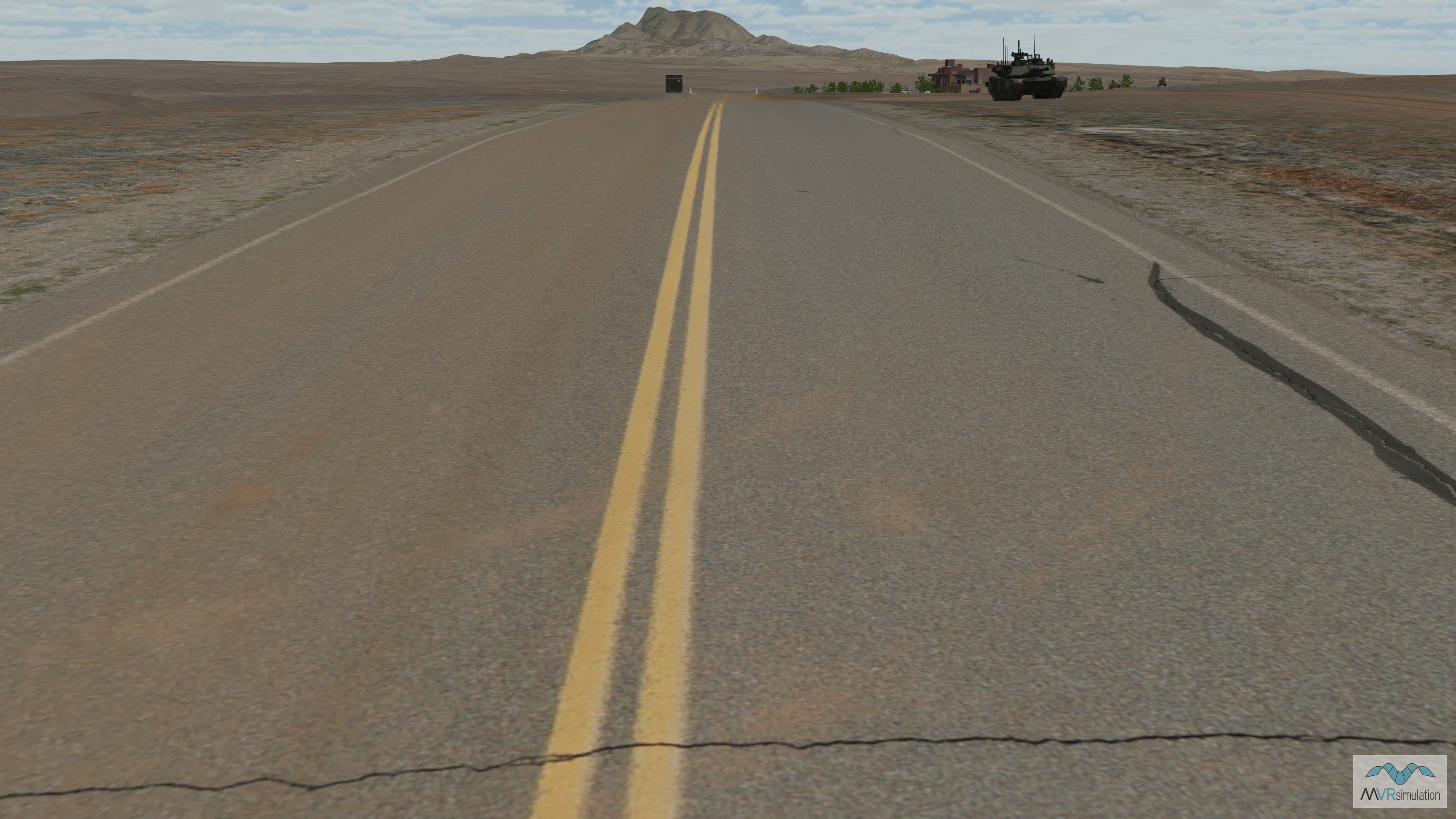
Terrain features on the high-resolution road in VRSG's Prescott, AZ, terrain.
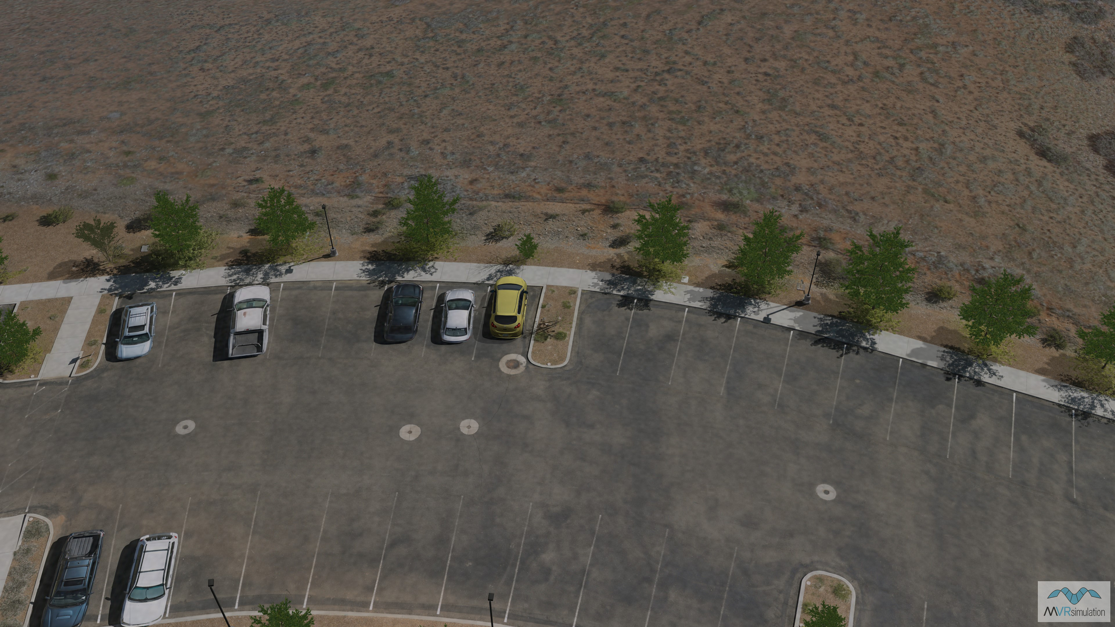
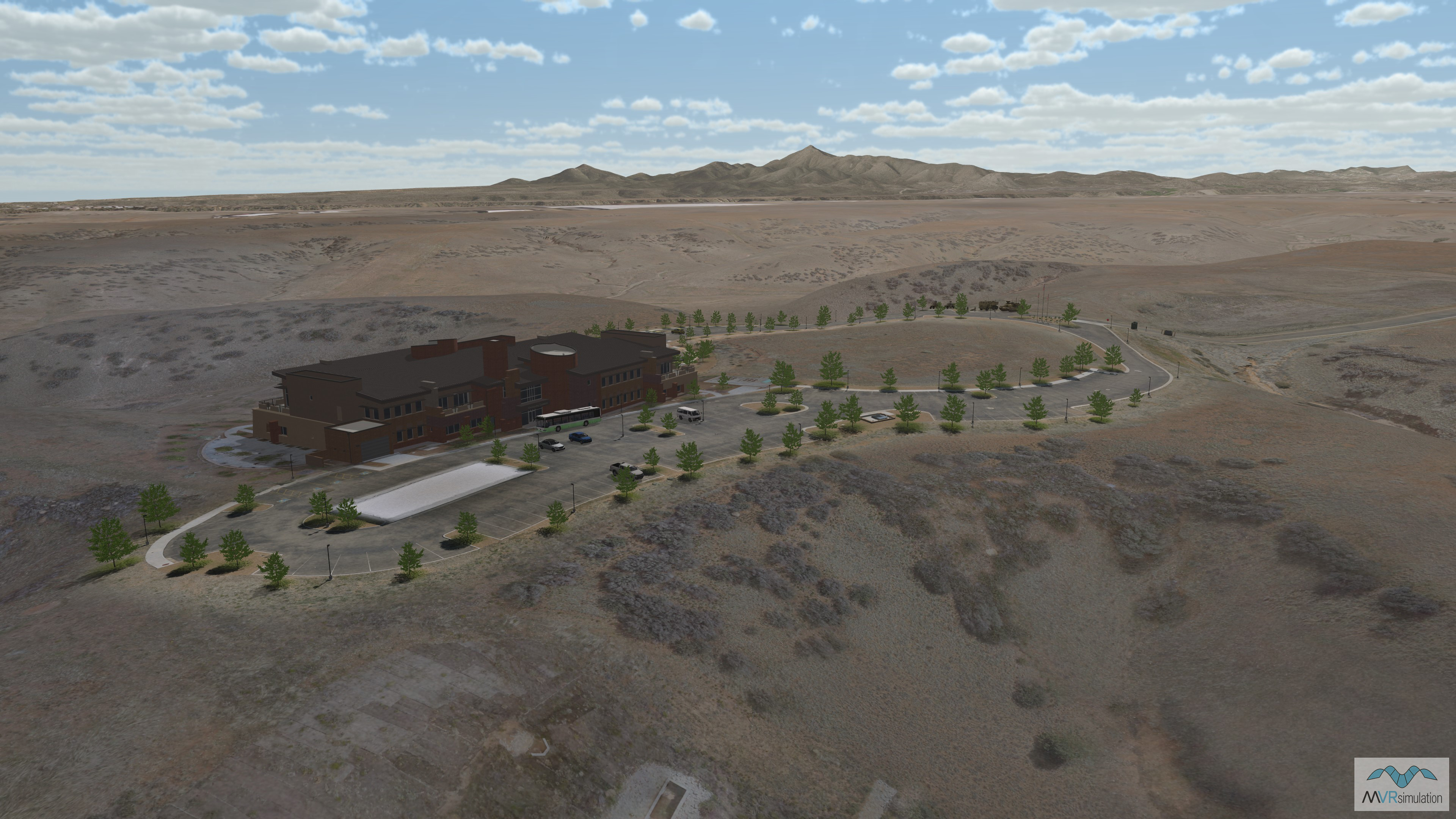
Detail of a car park in VRSG's Prescott, AZ, high resolution terrain.
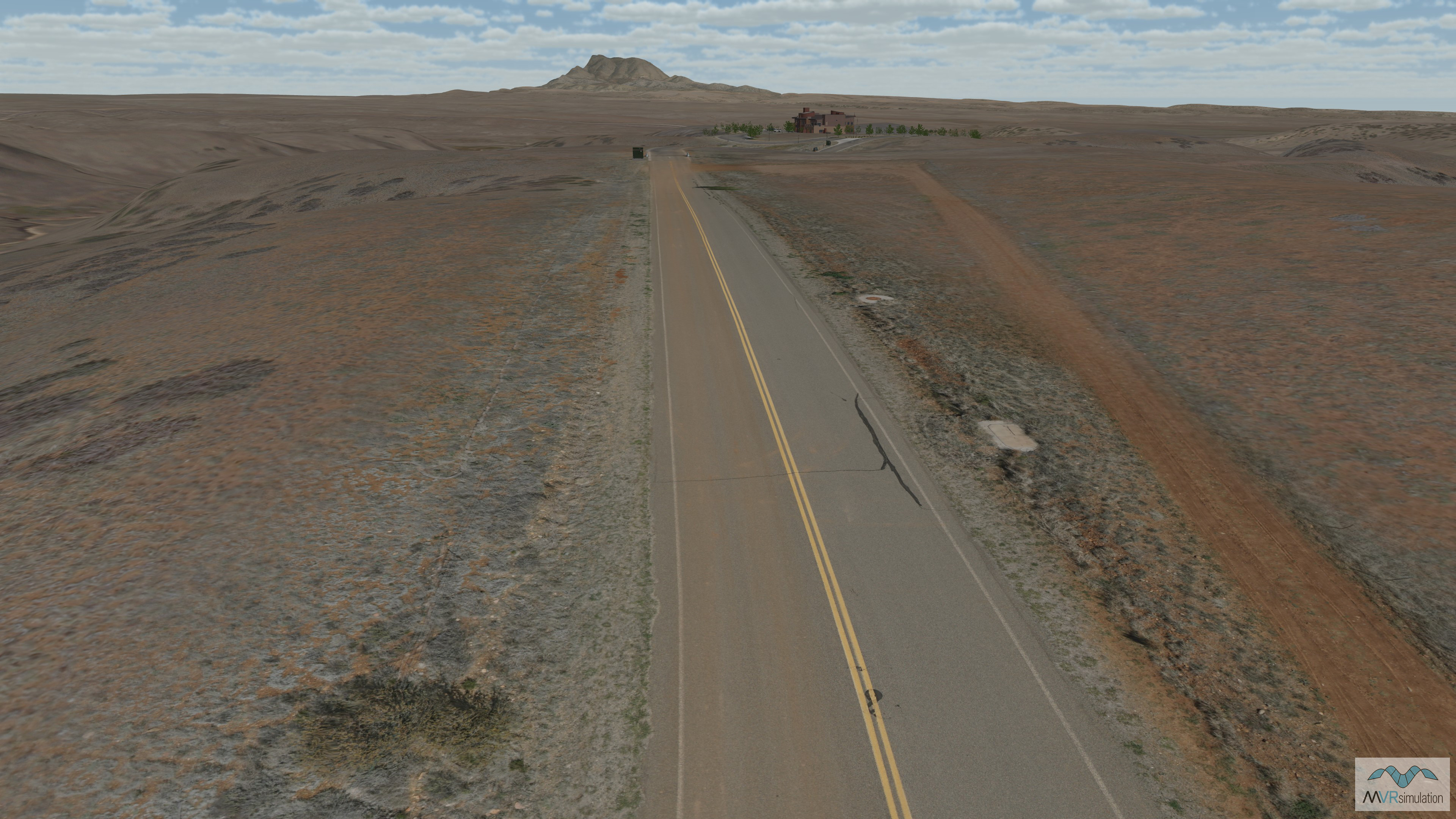
The 5 mm imagery of the road was blended into the 2.5 cm imagery at the shoulder of the road.
Building feature in VRSG's Prescott, AZ, terrain.
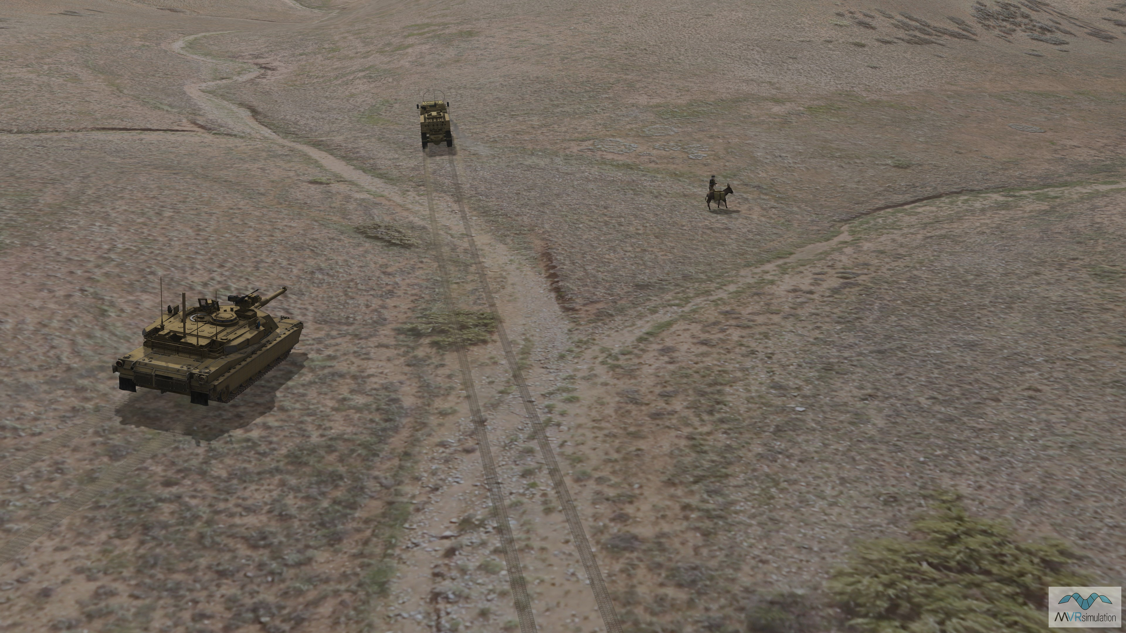
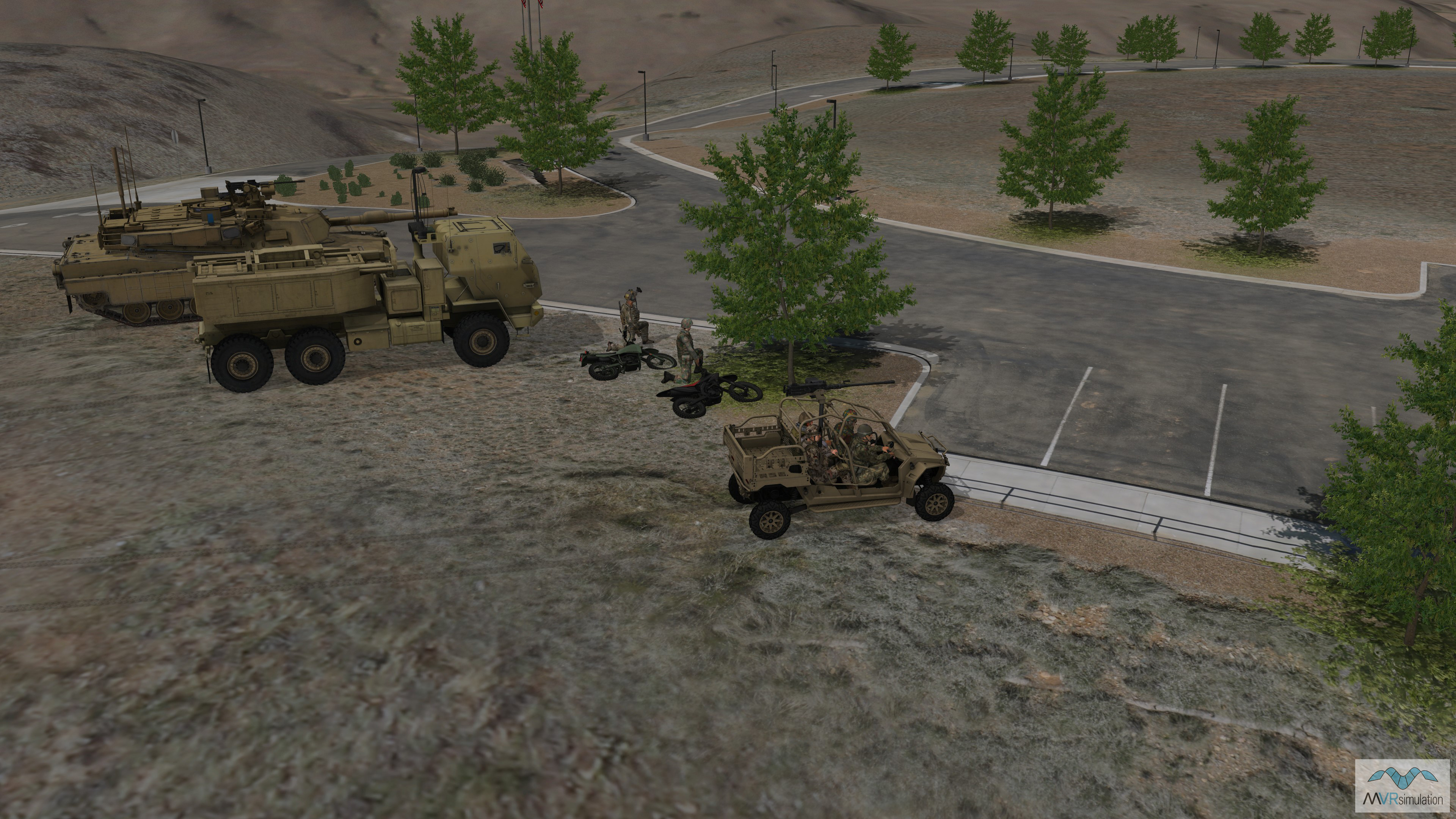
A real time training scenario in MVRsimulation's high-resolution Prescott, AZ, terrain showing tracks created from the moving vehicles.
Imagery of this road in Prescott, AZ, was captured with a small rotary-wing UAS.