
3D Replicas of Urban Environments
Virtual Replicas of Urban Locations for Simulation Training
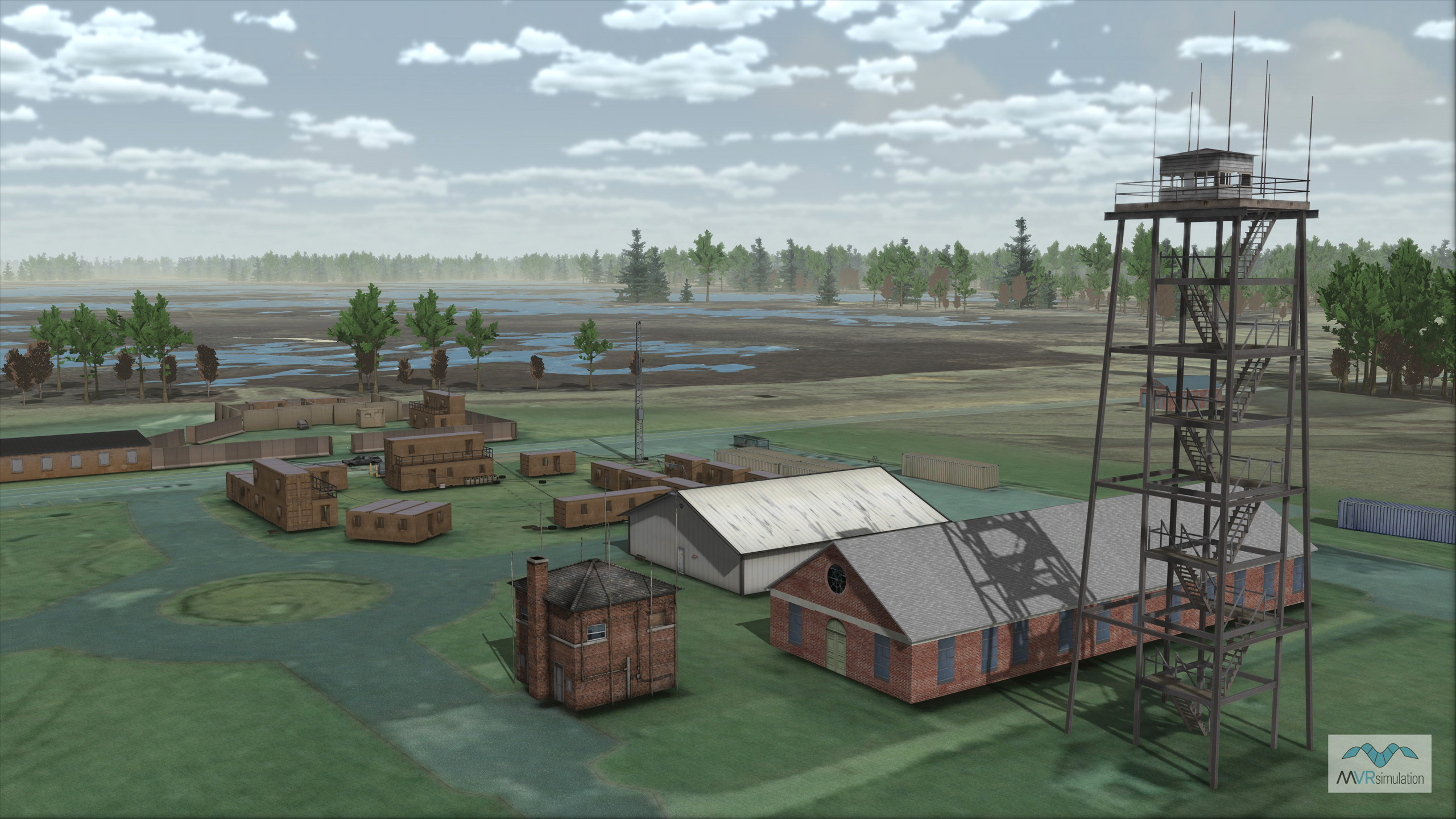
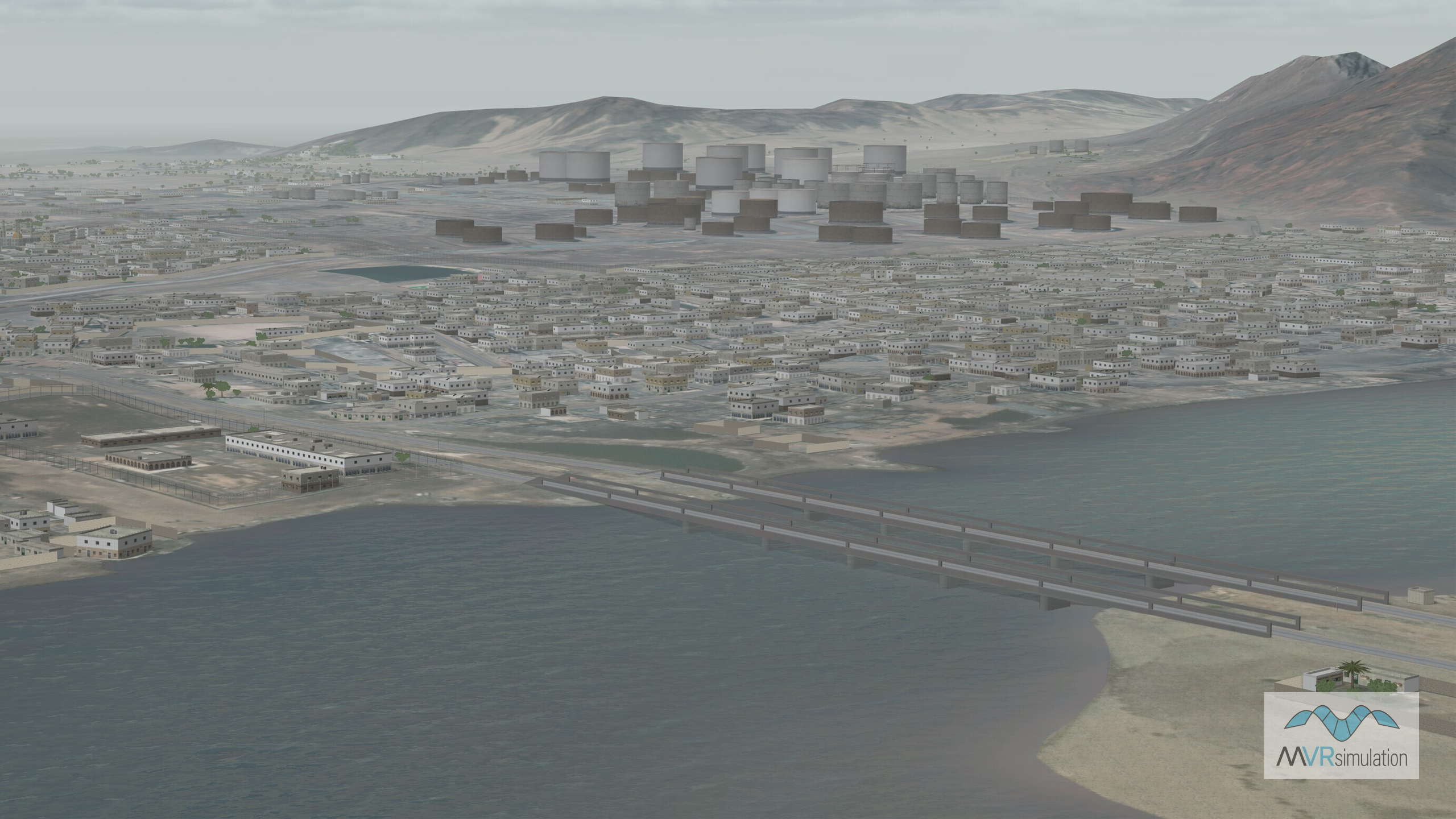
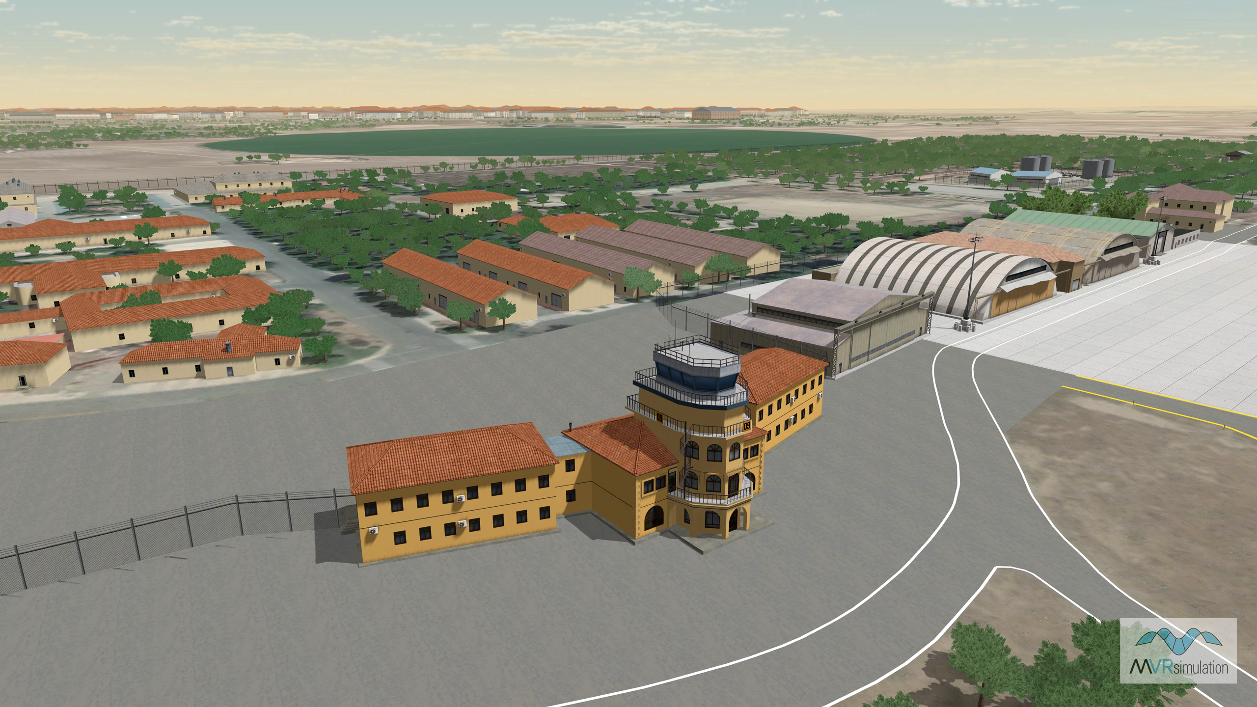
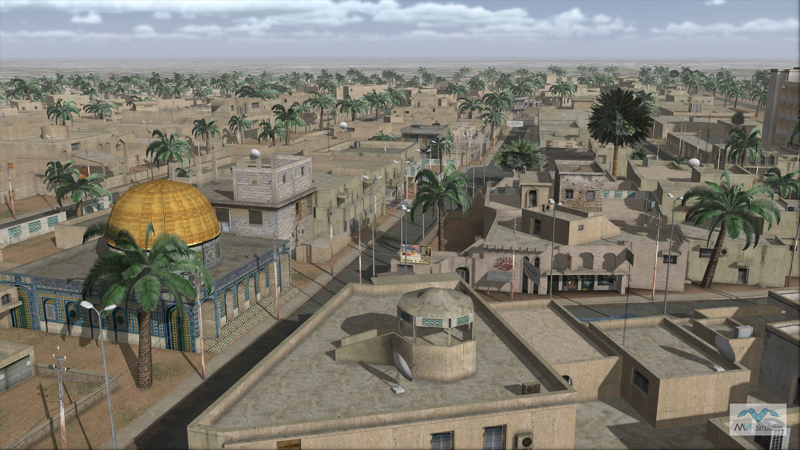
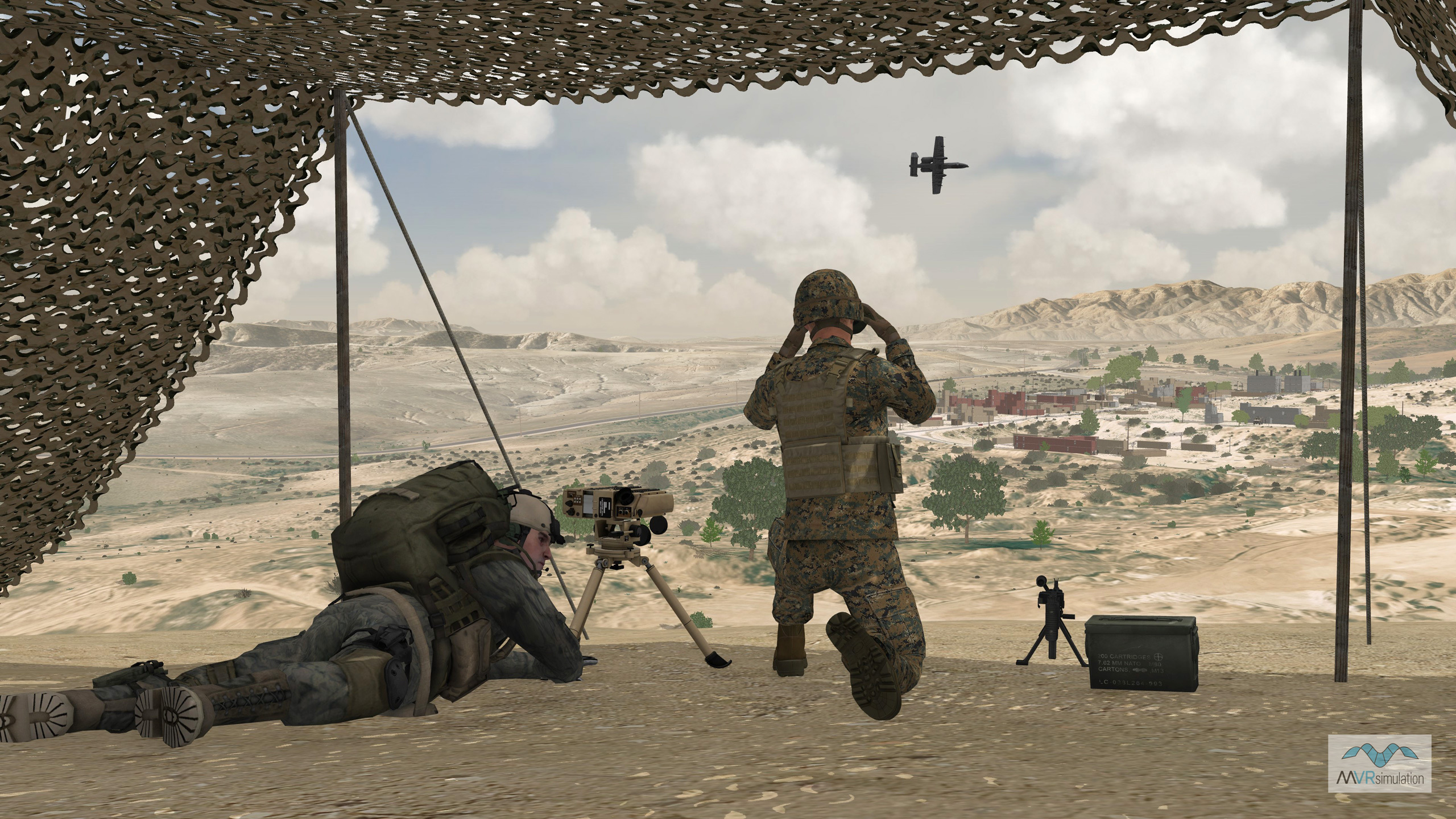
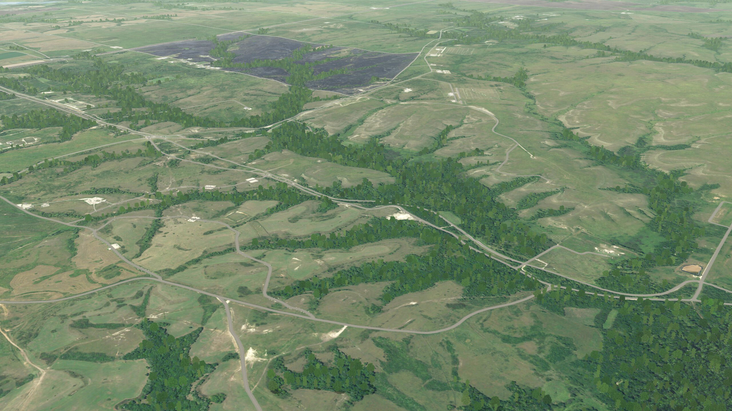
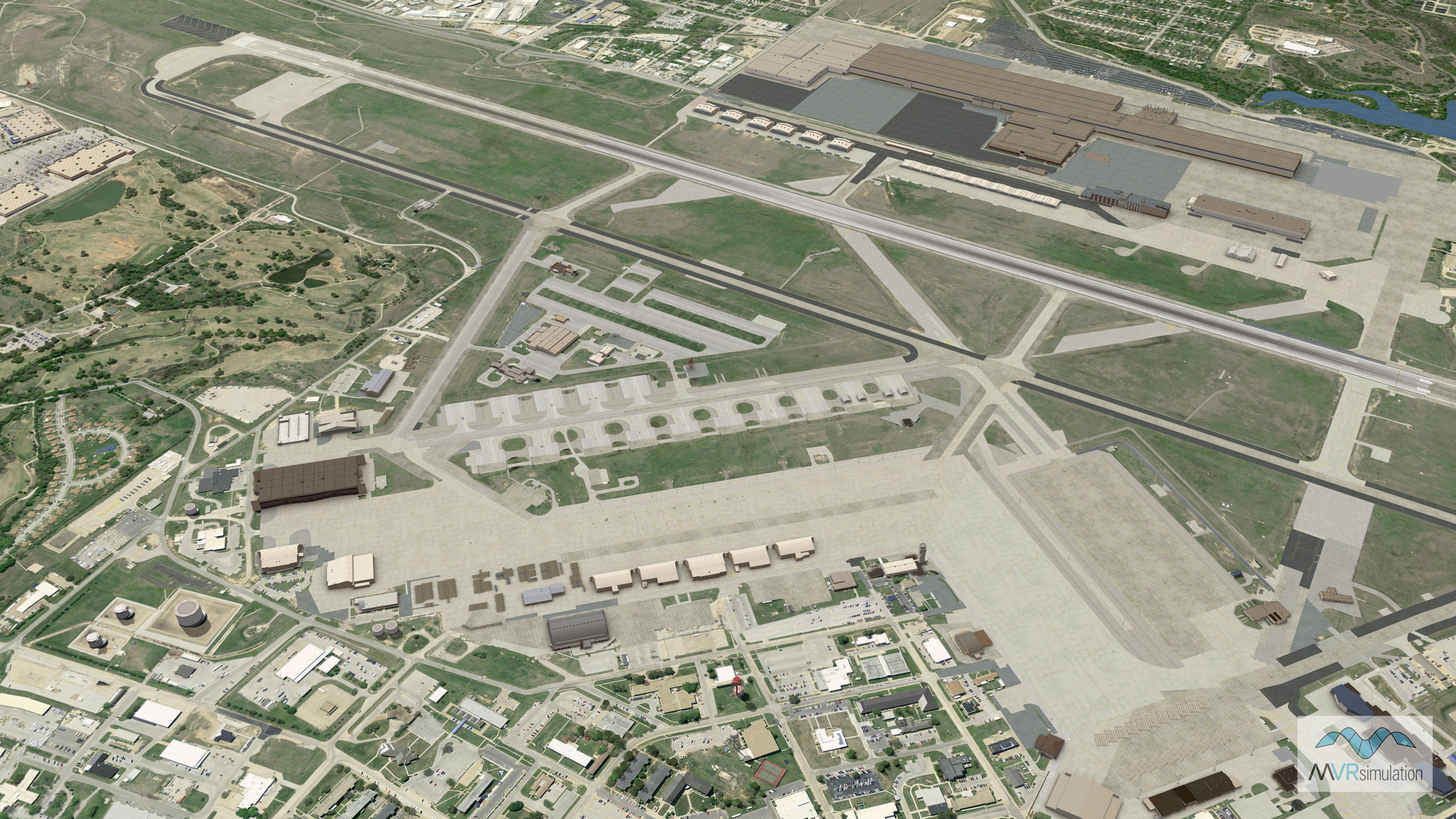
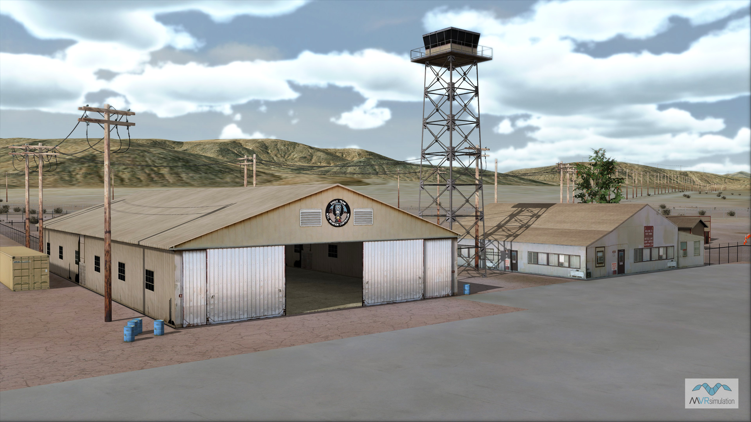
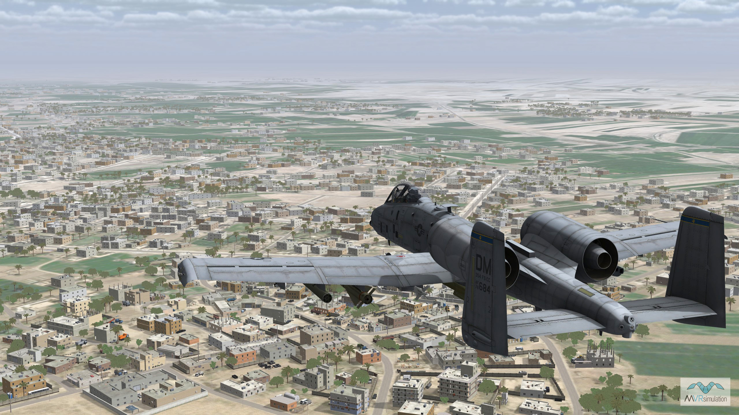
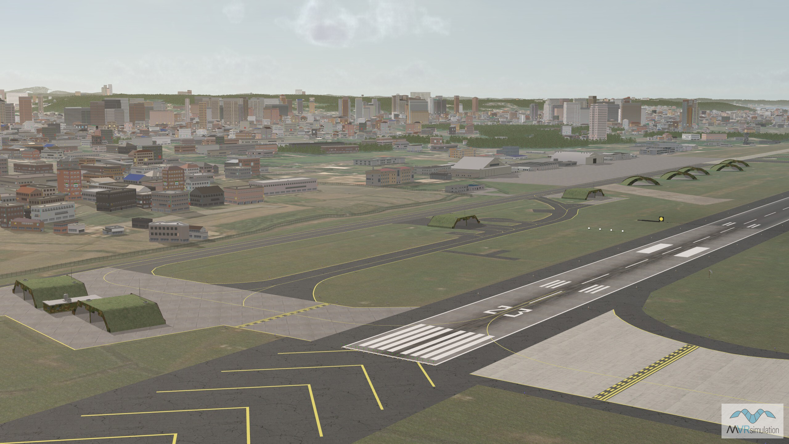
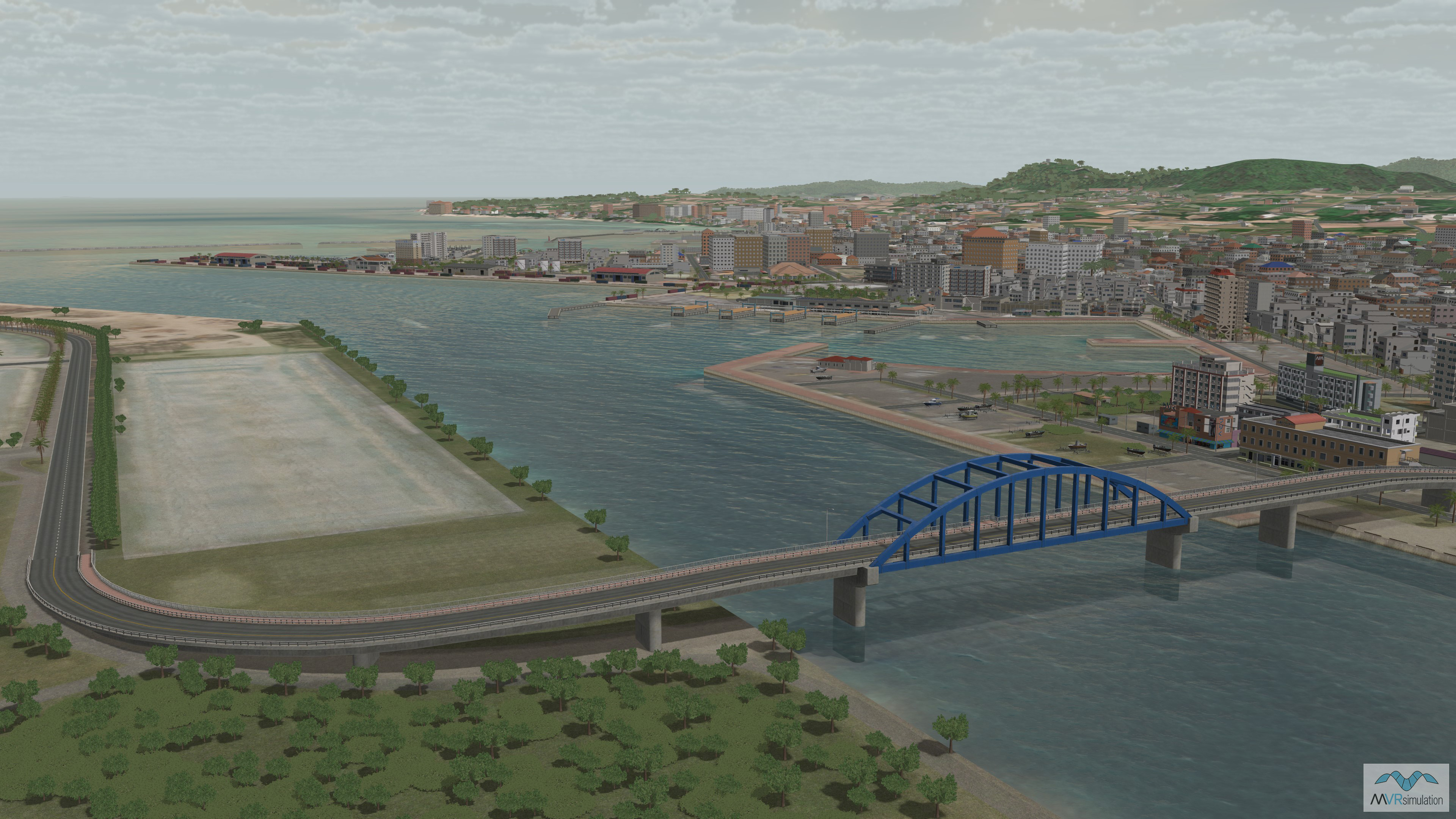
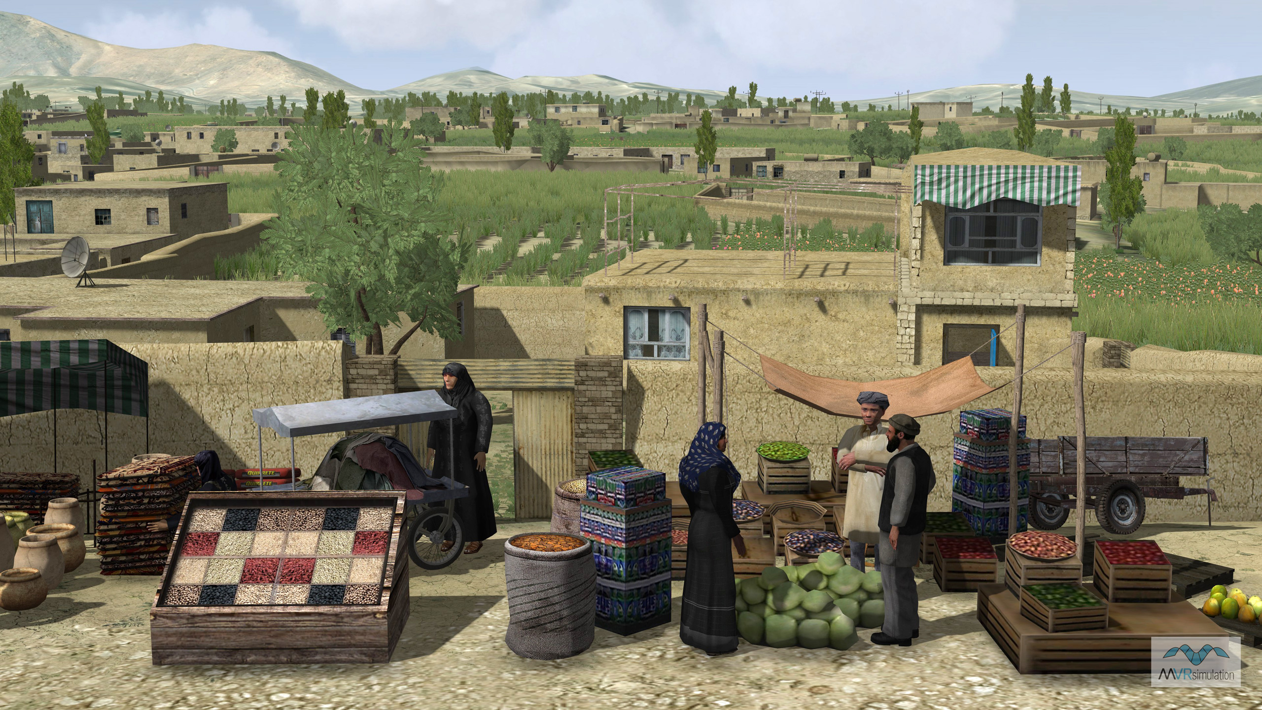
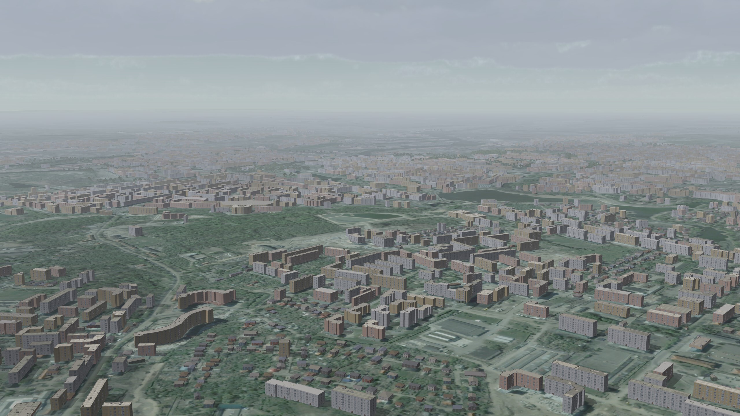
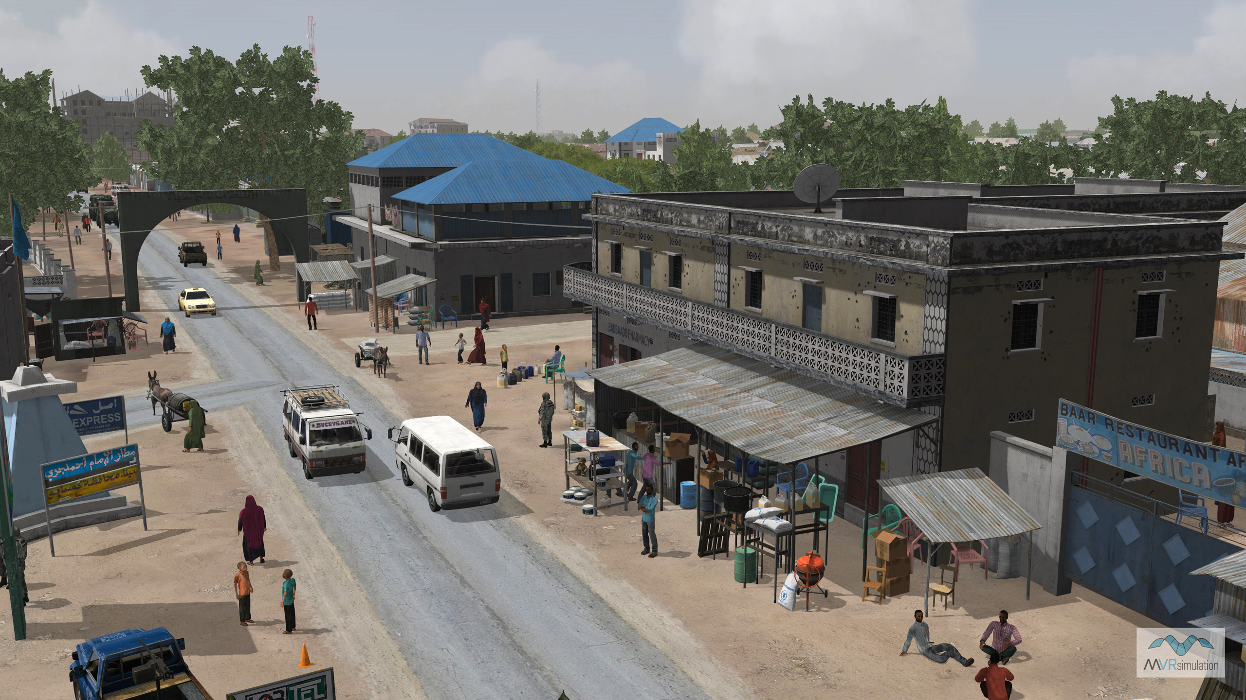
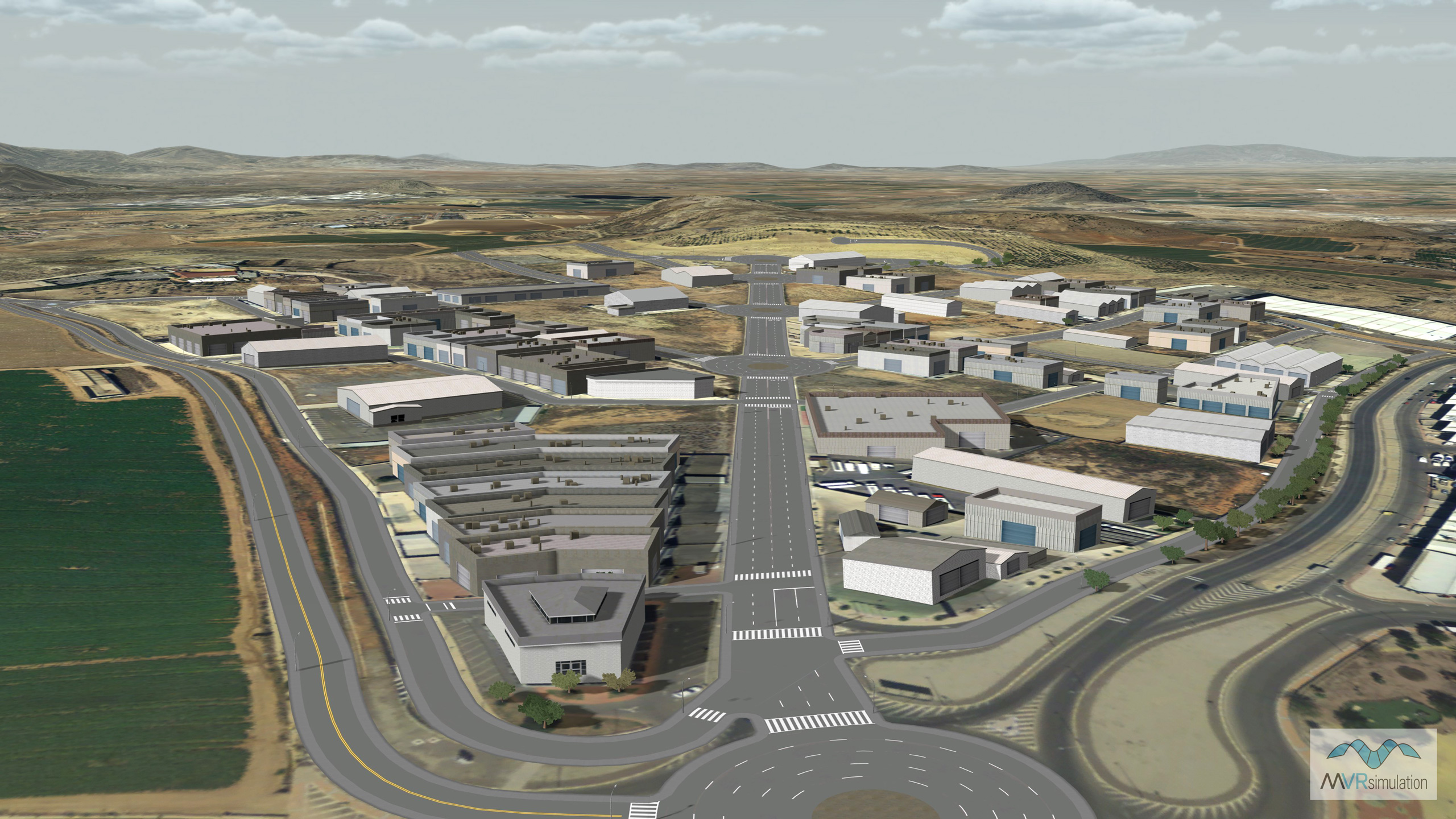
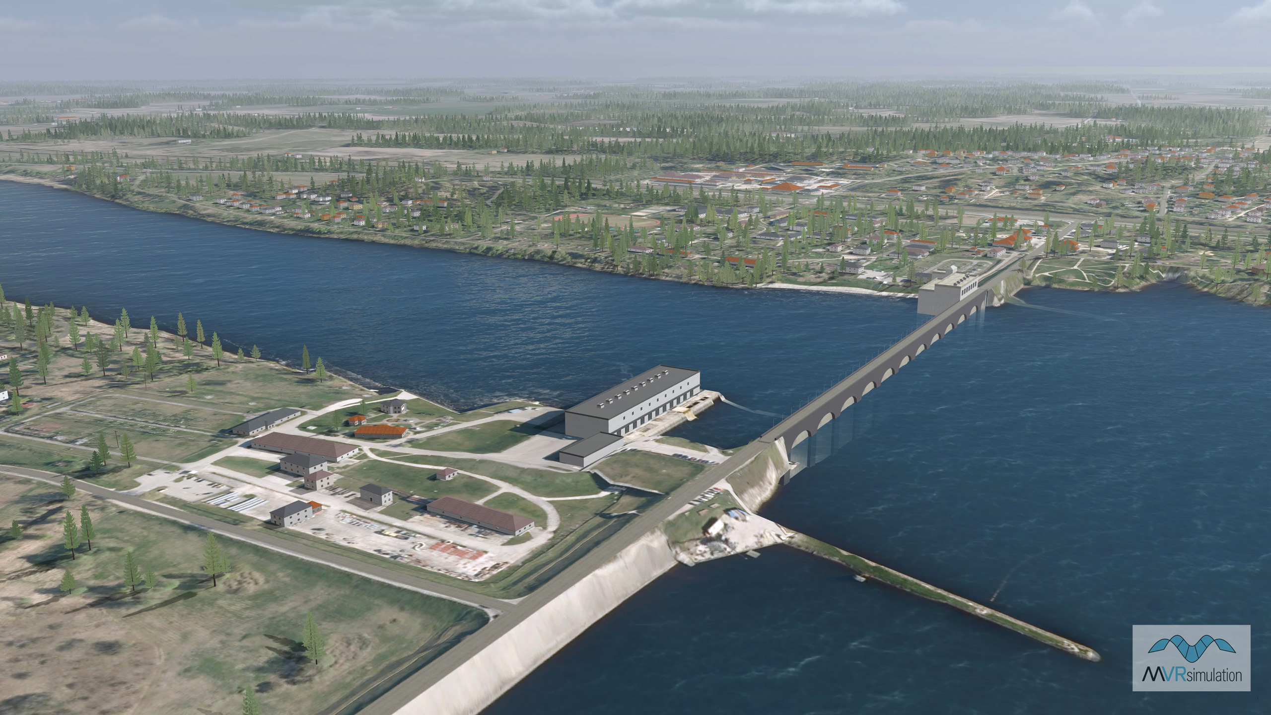
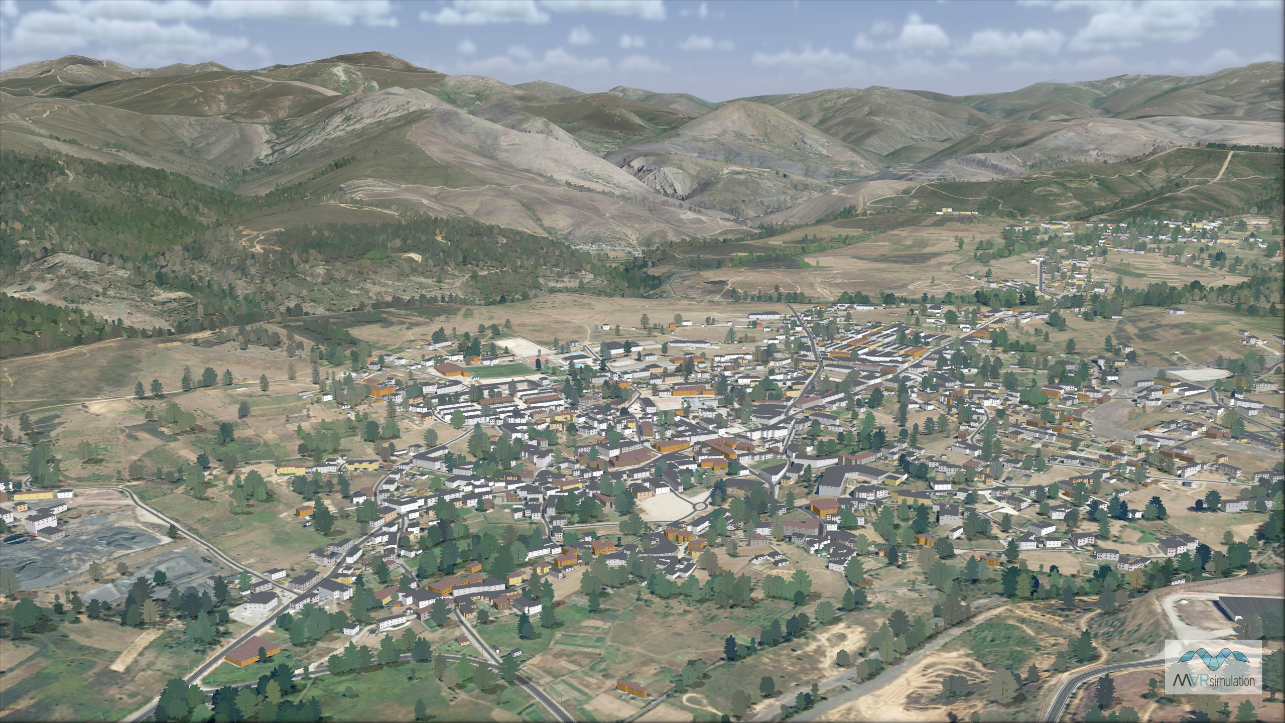
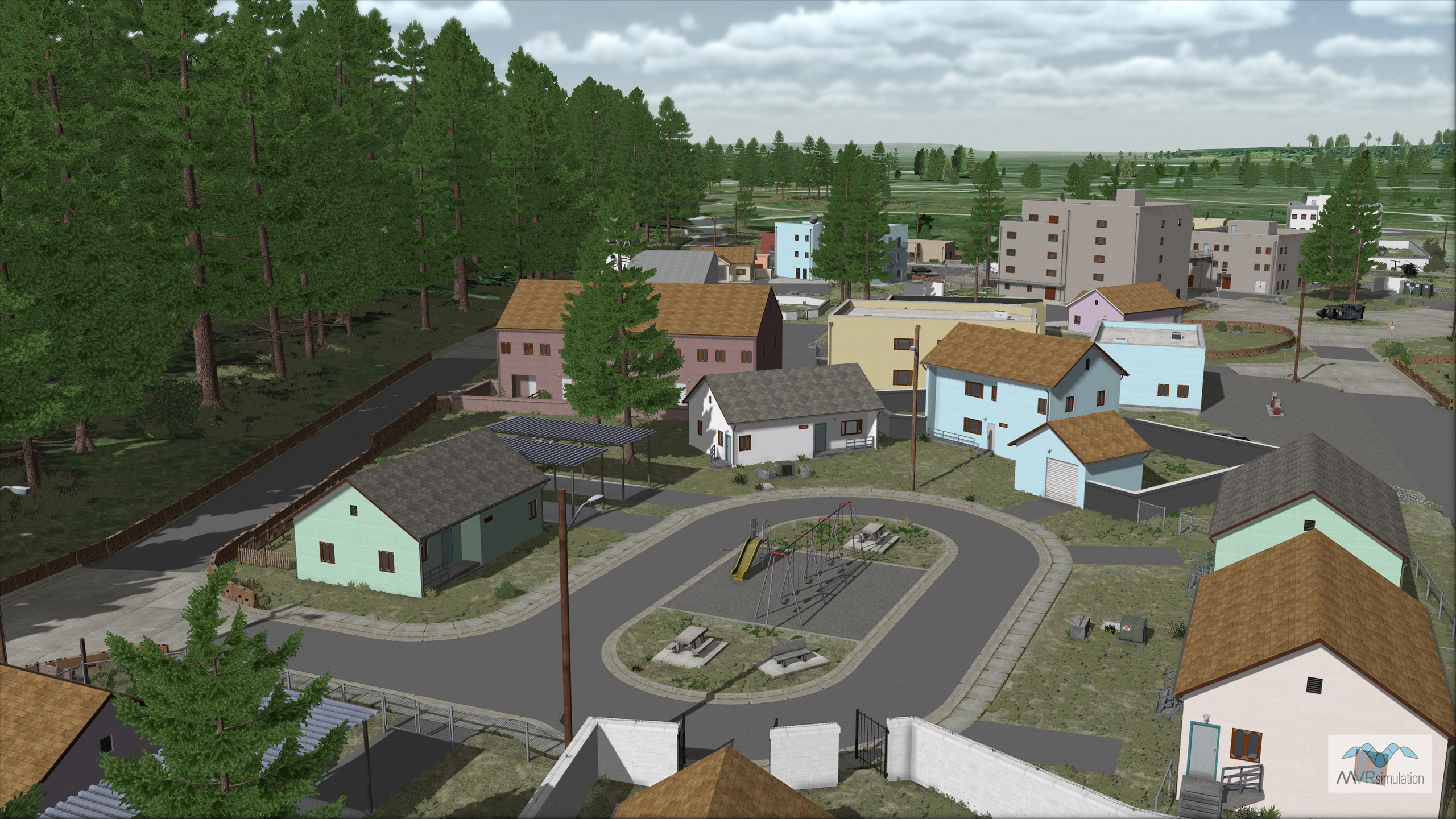
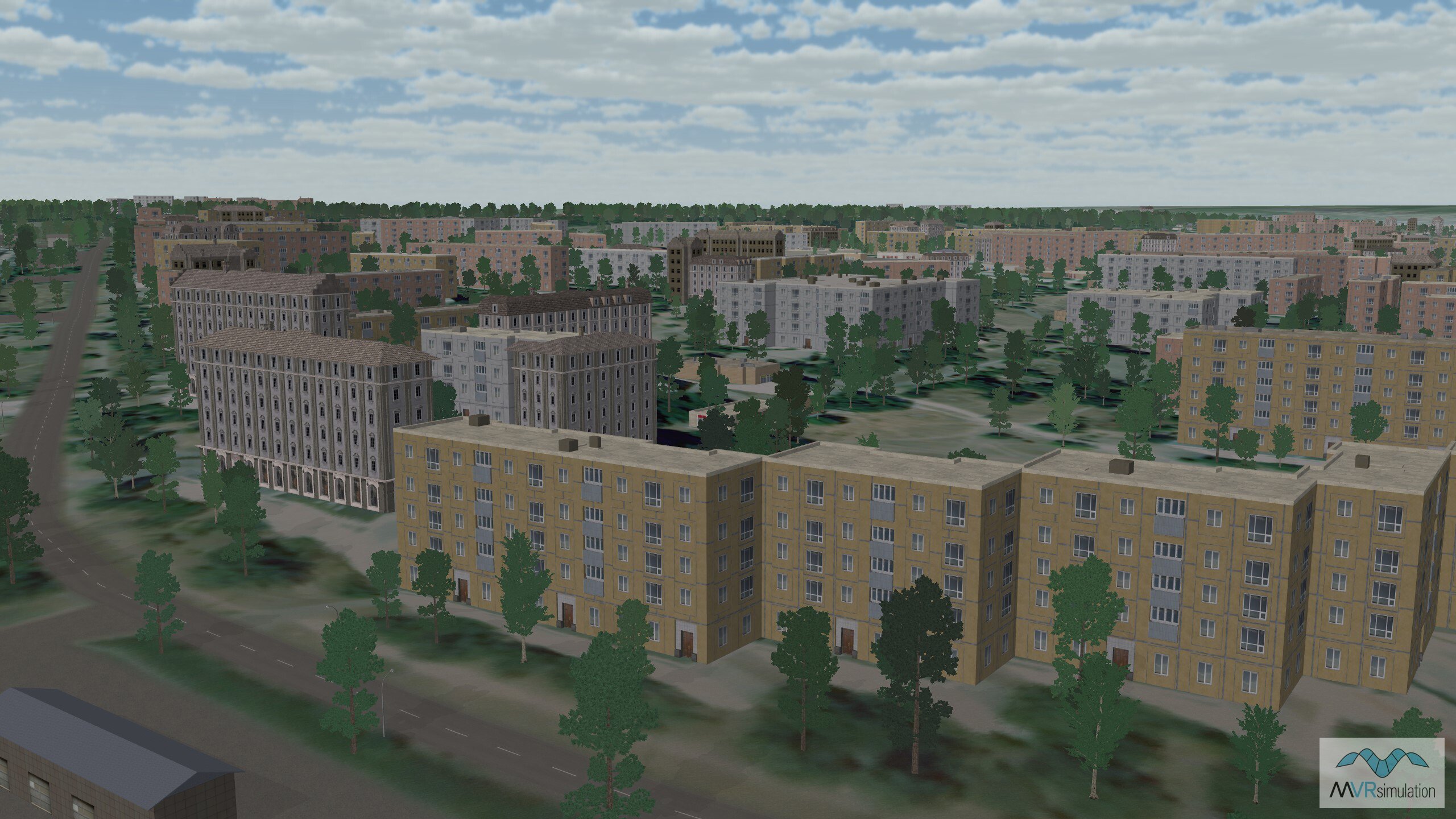
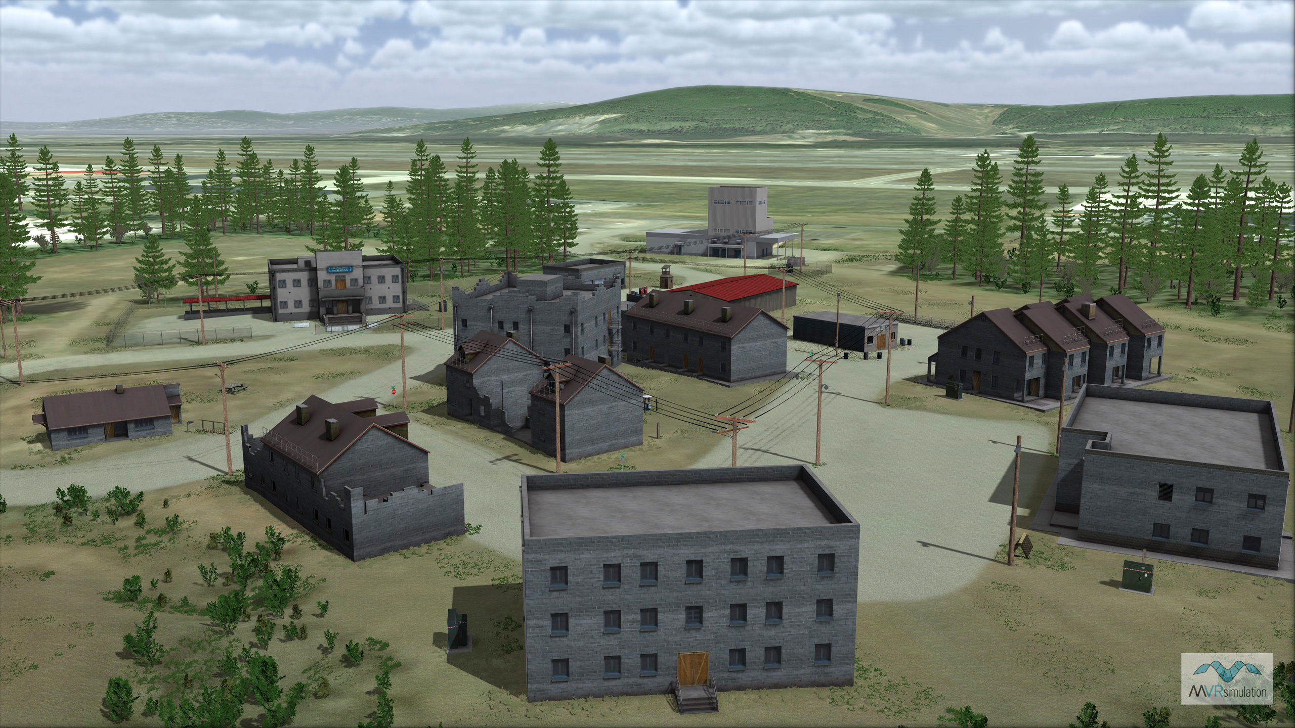
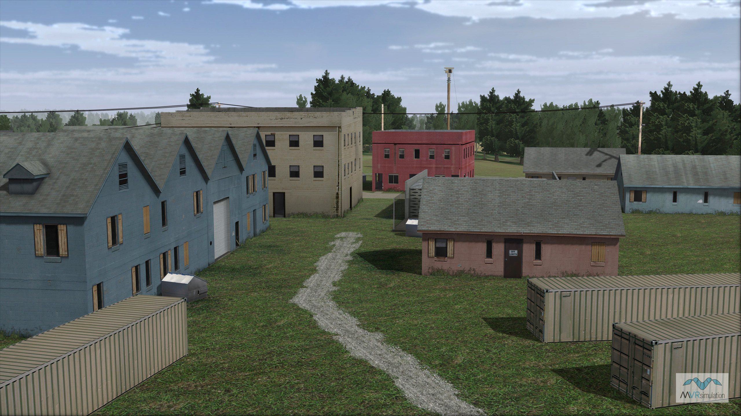
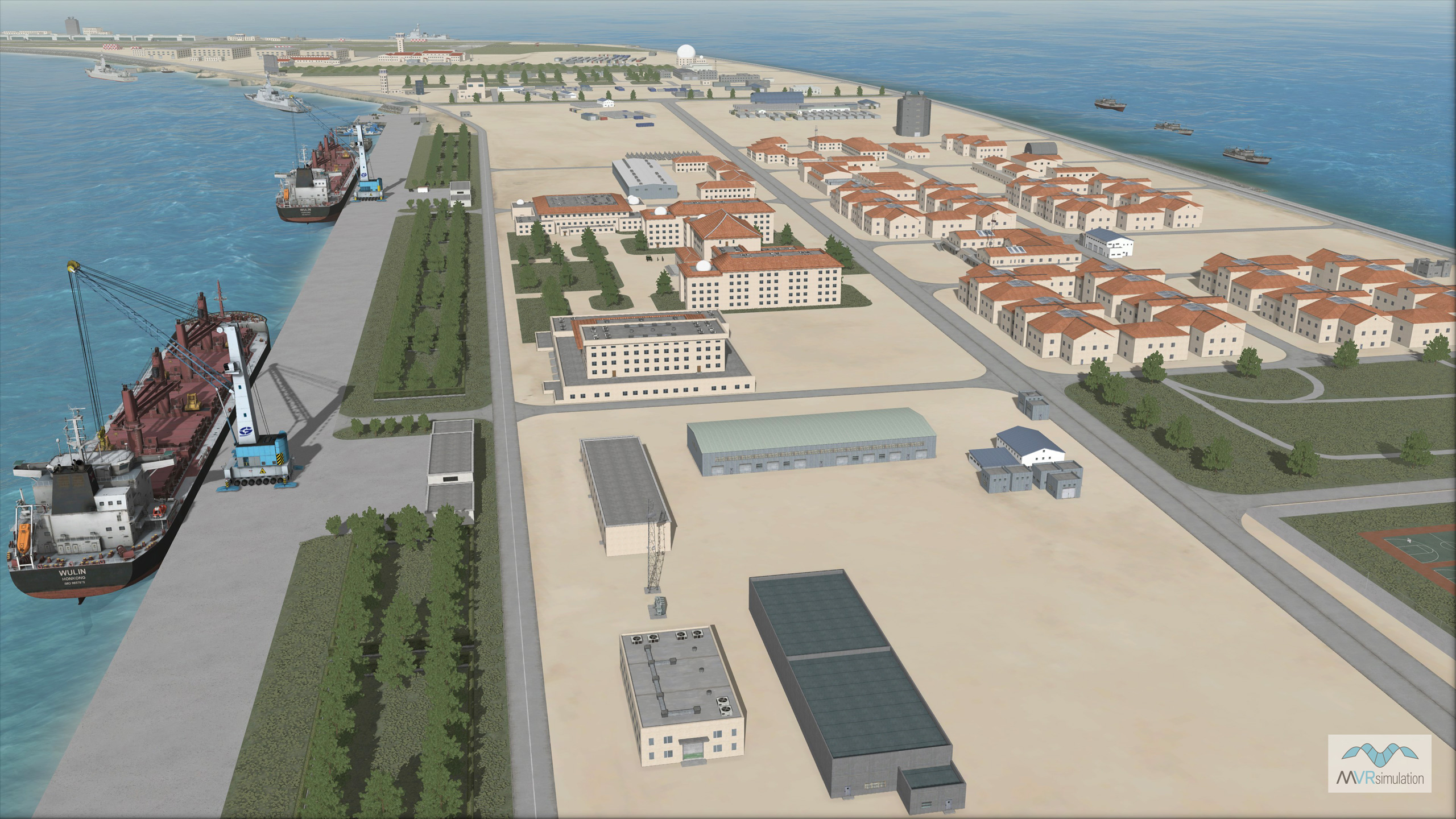
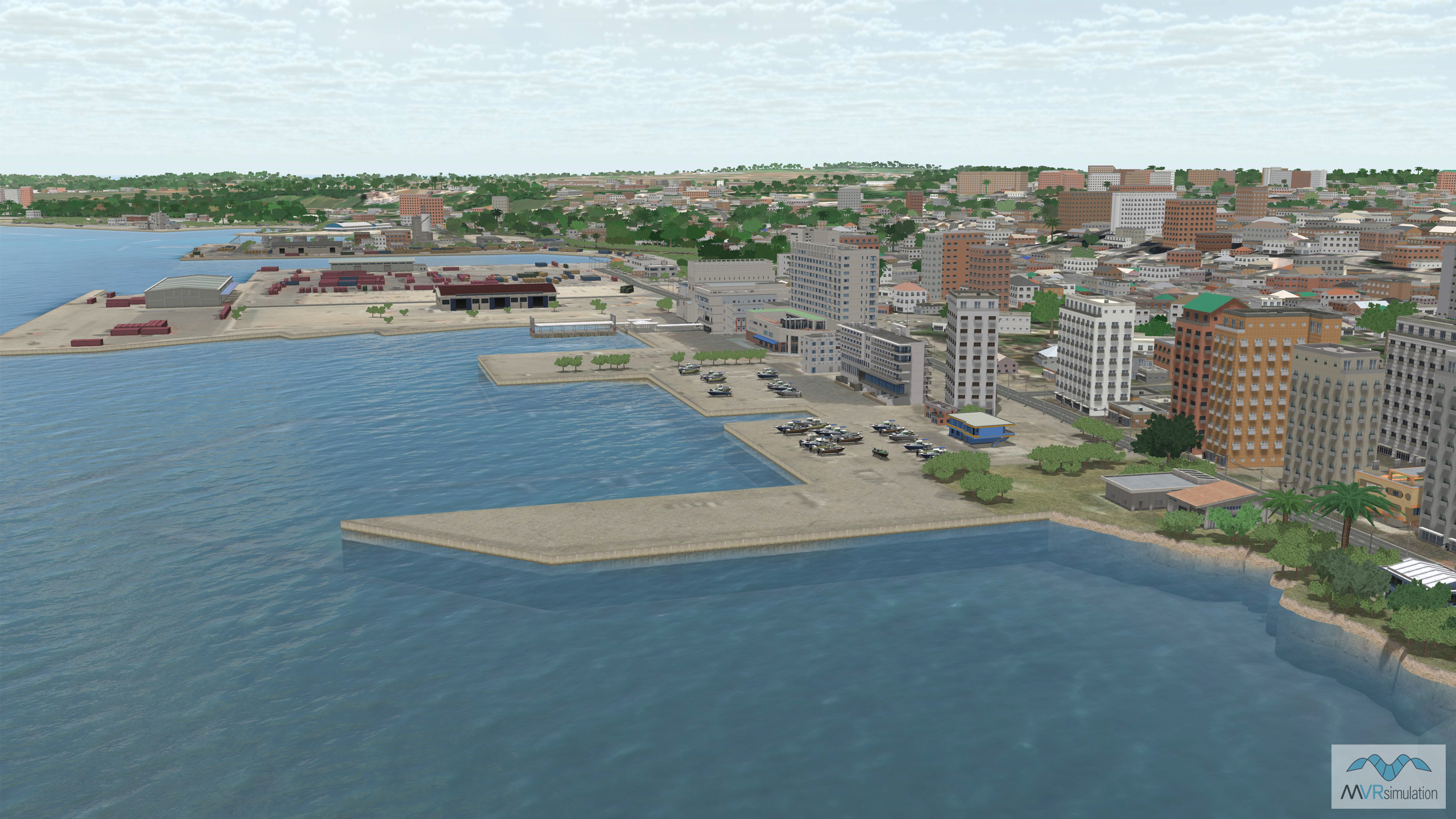
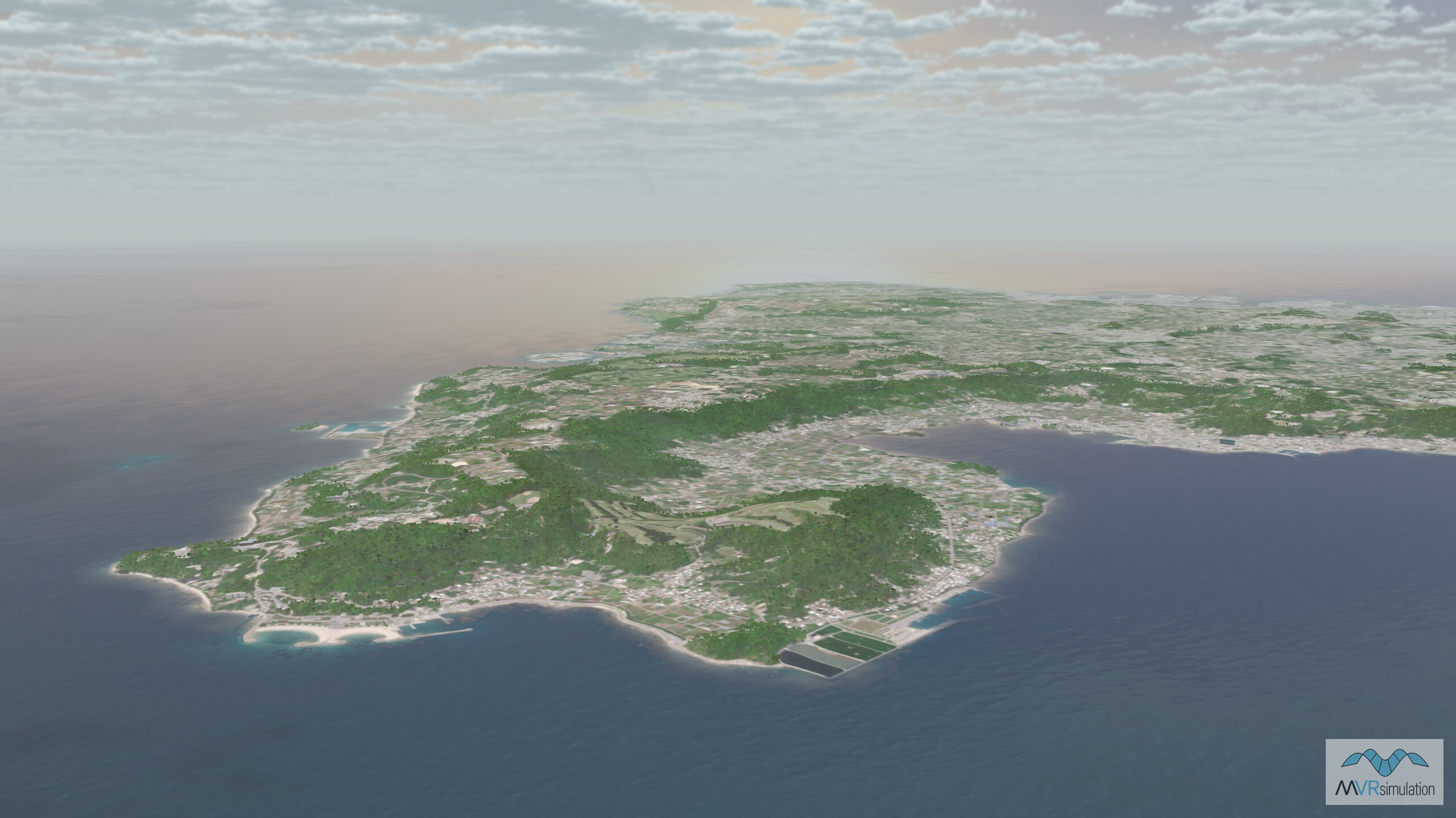
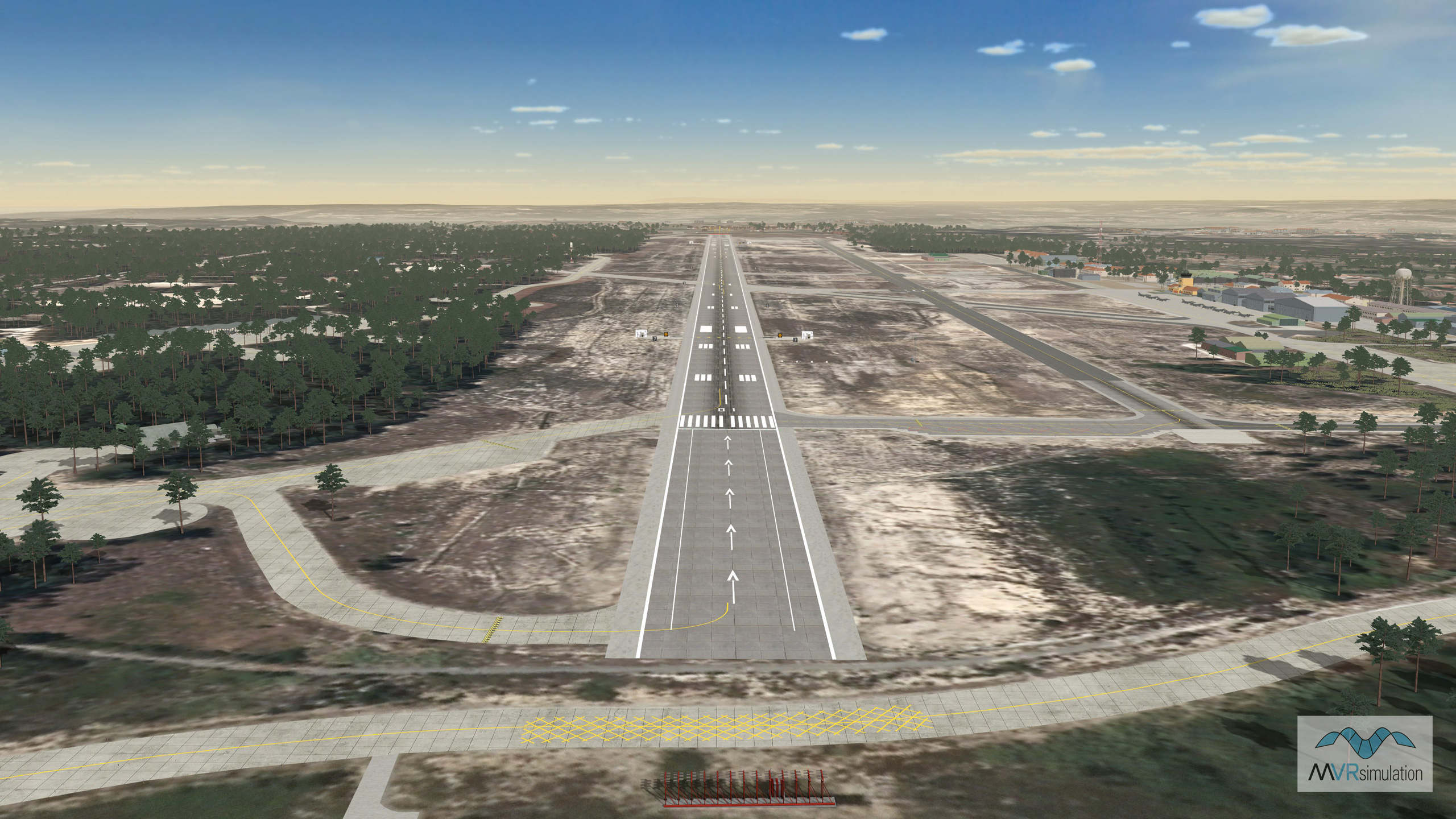
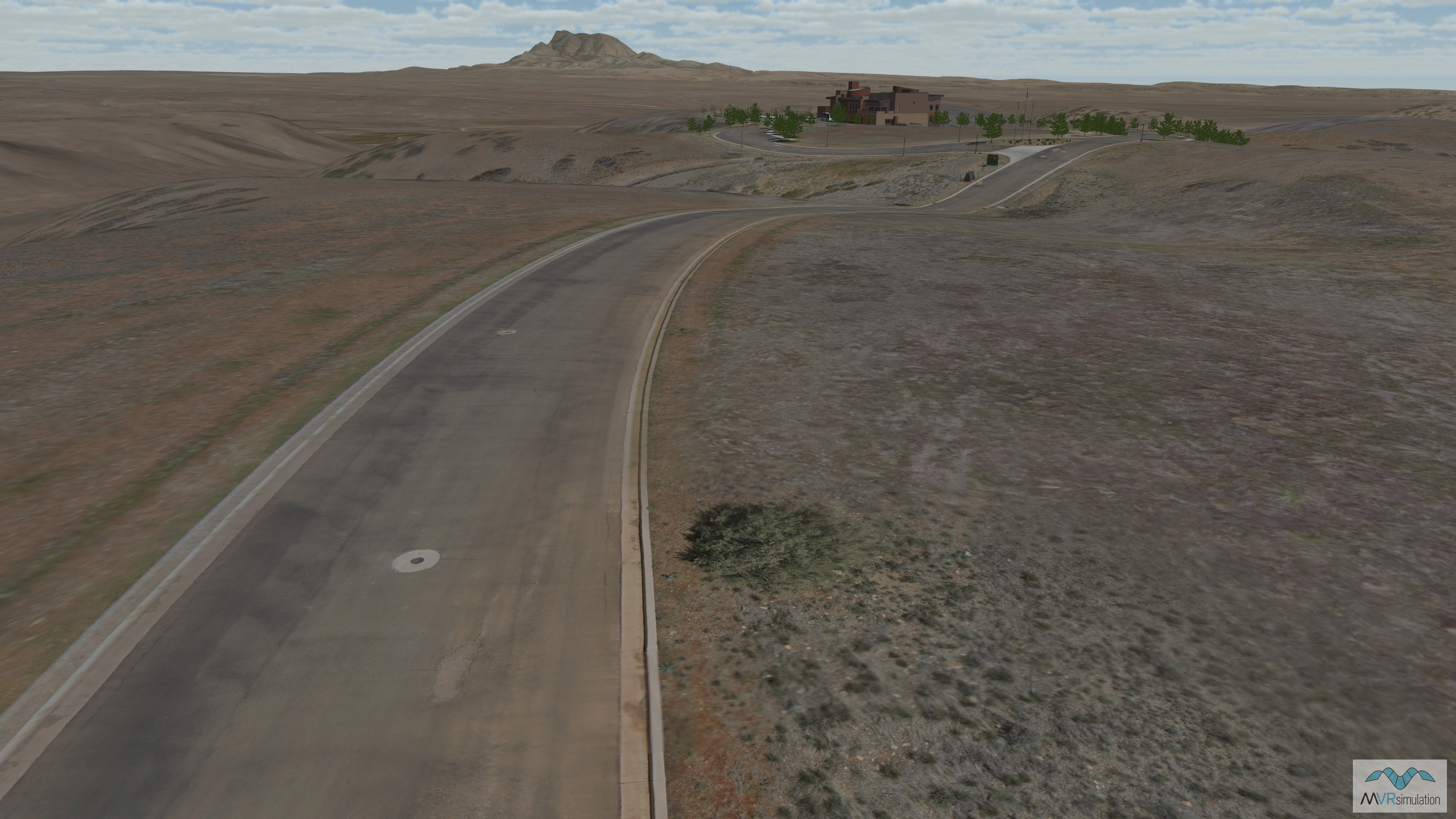
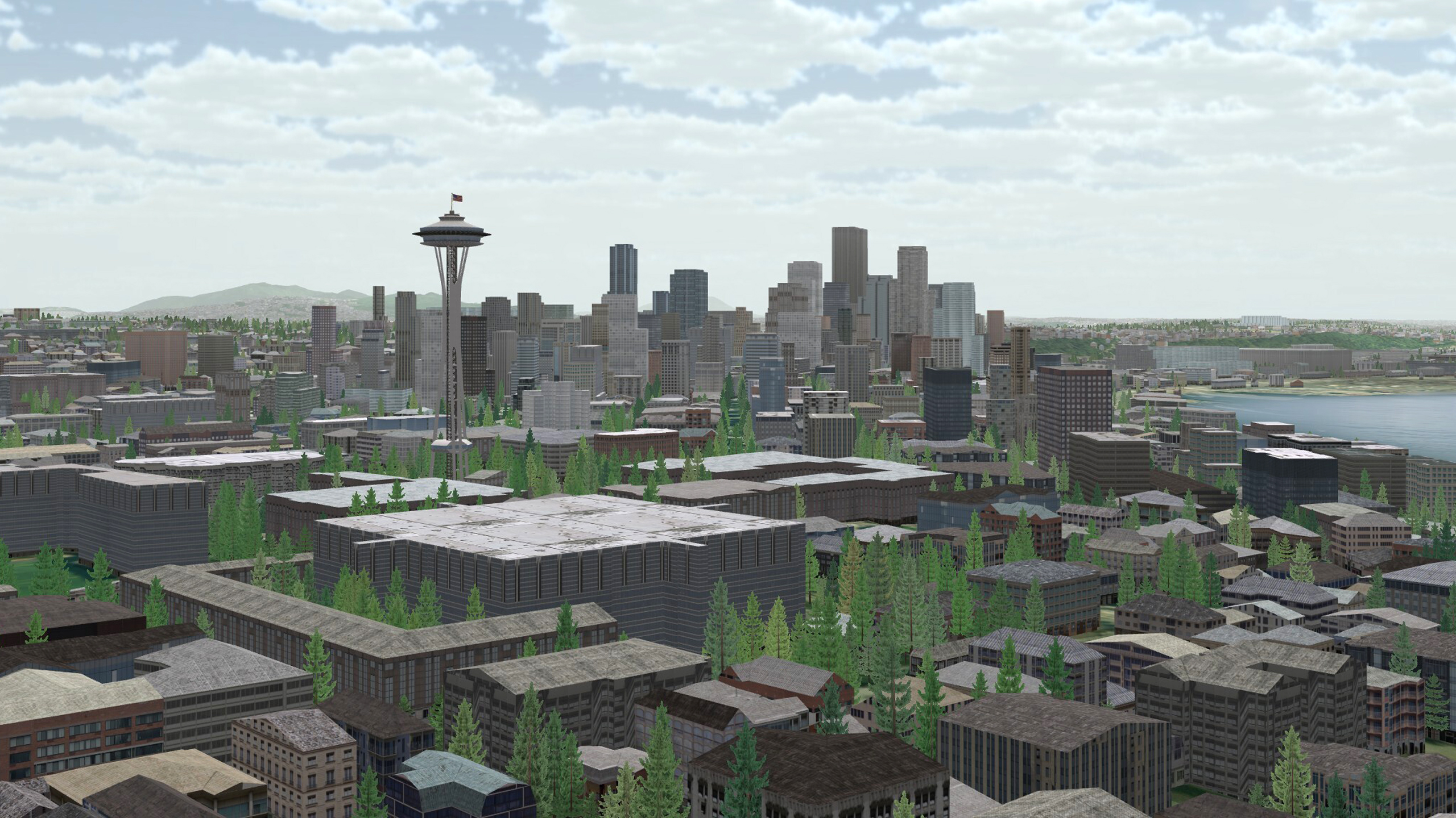
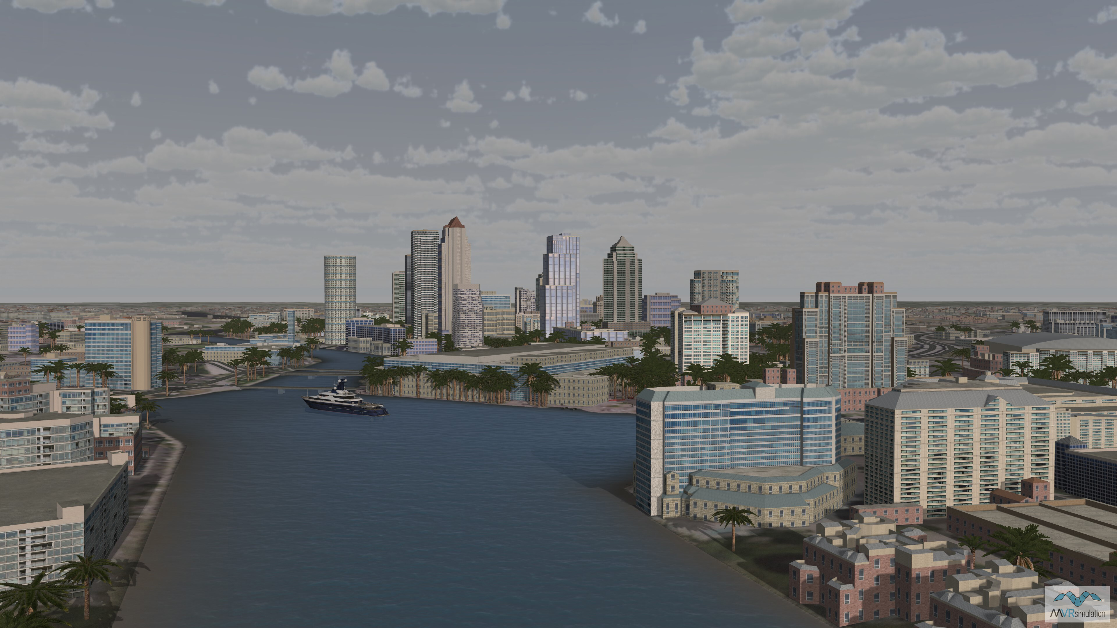
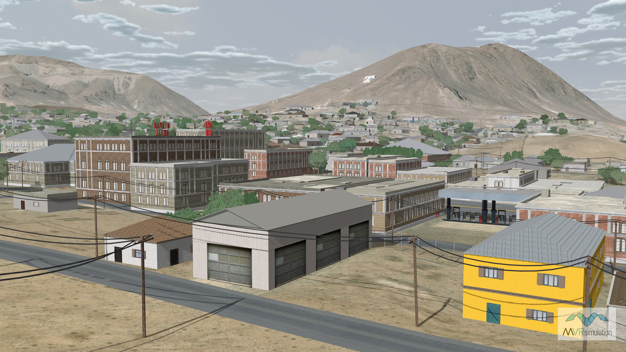
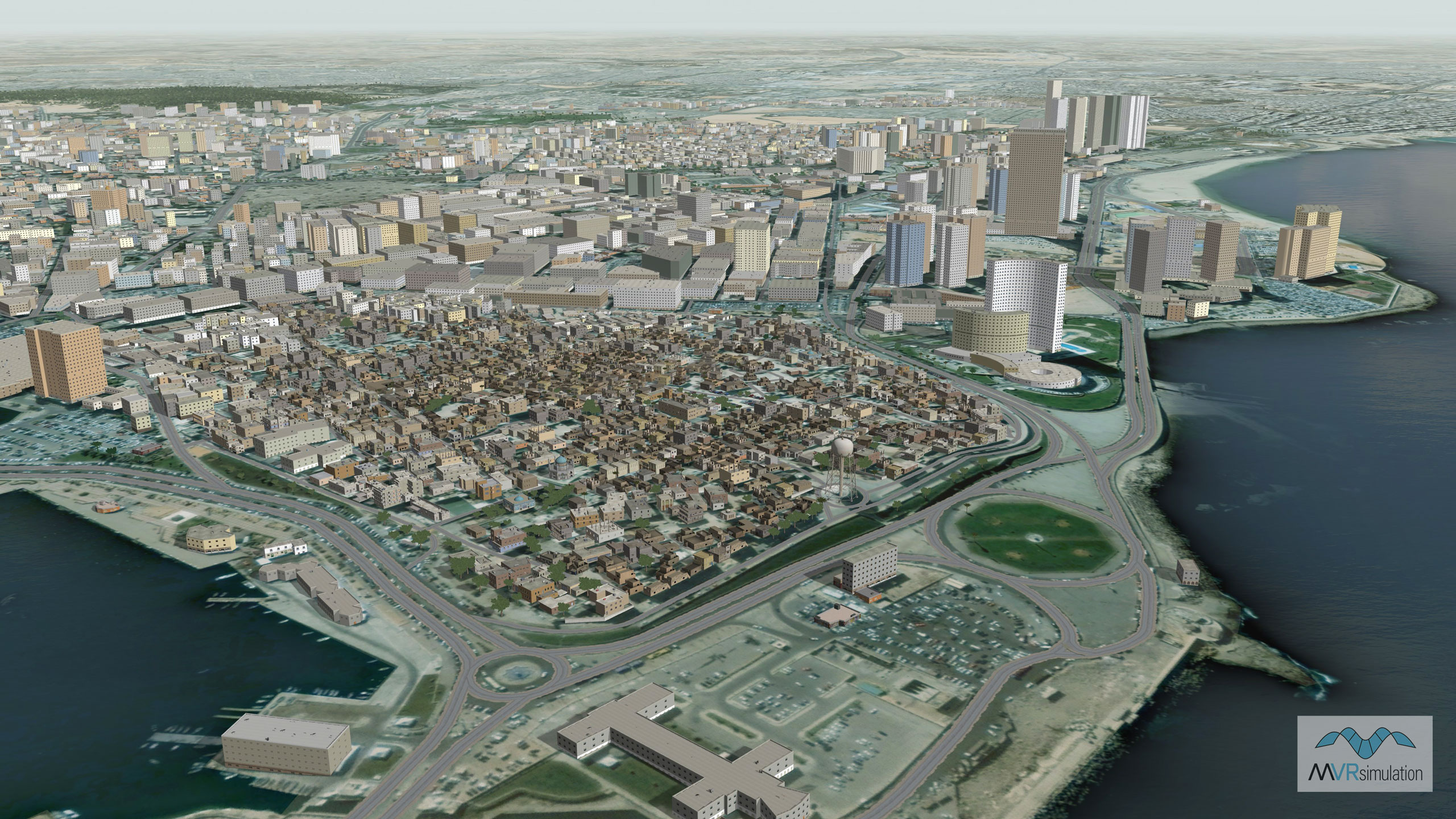
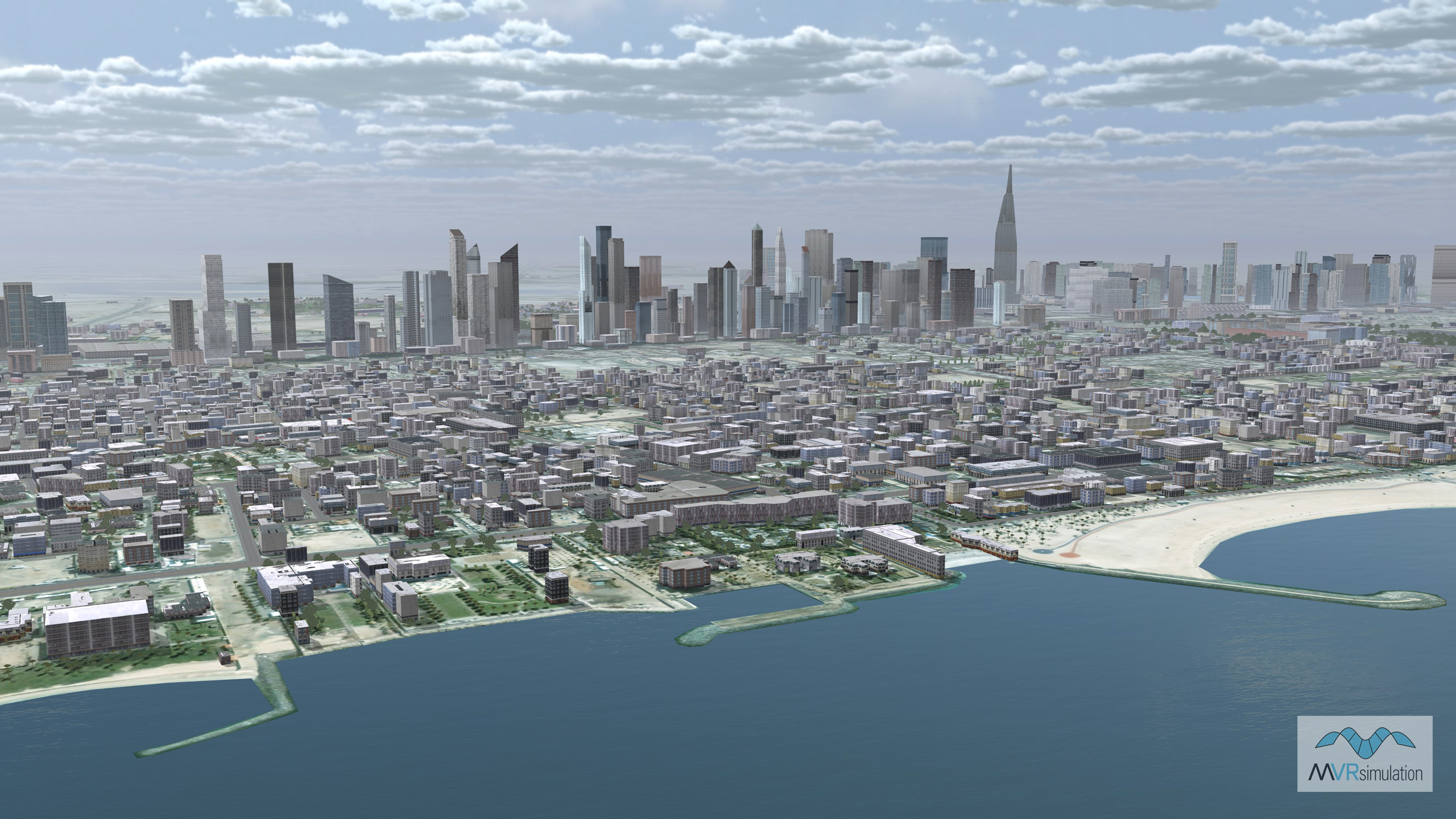
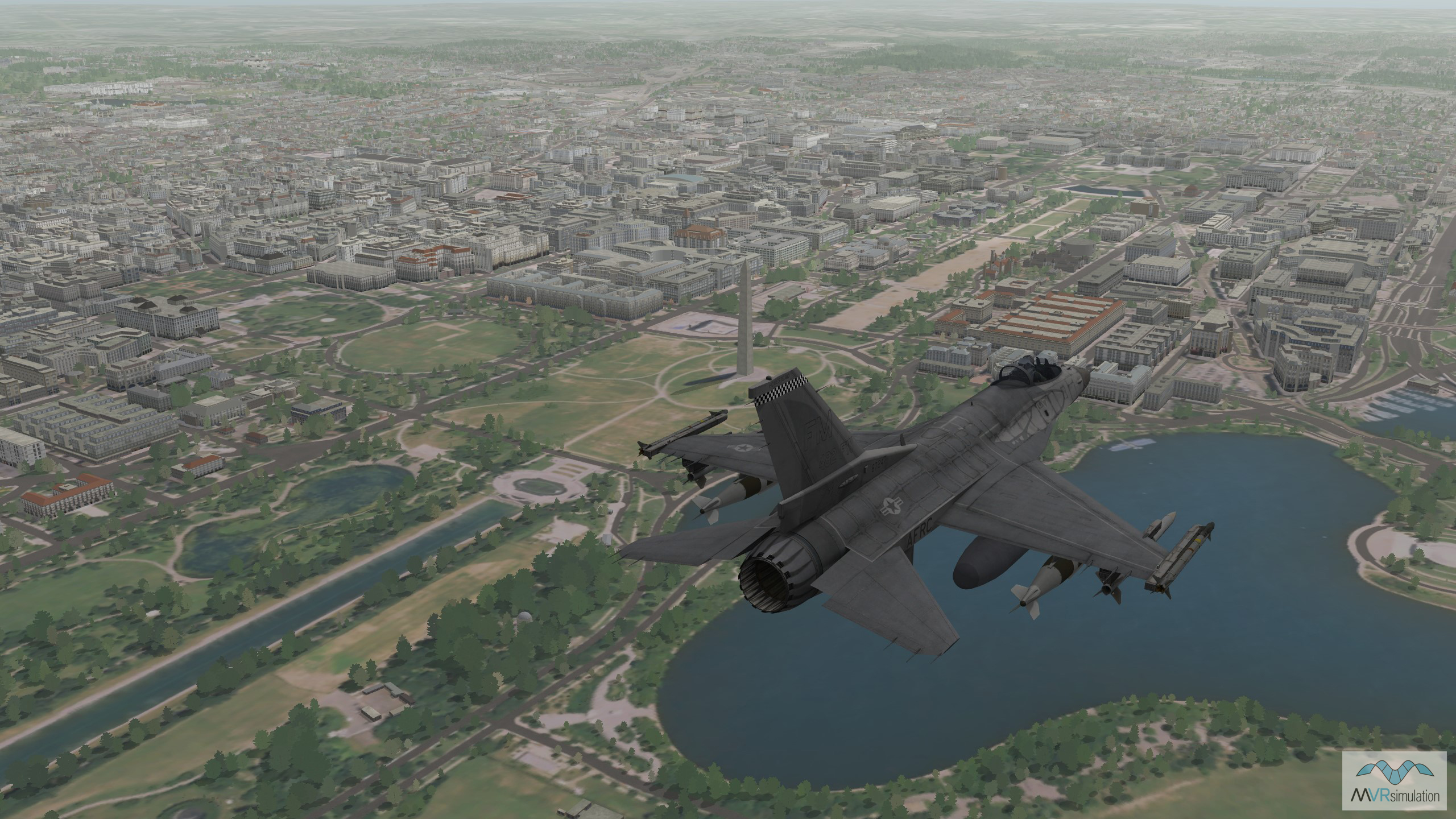
MVRsimulation's VRSG terrain Urban areas of interest (AOIs) are highly-detailed representations of densely populated urban or city environments, including three-dimensional models that replicate real-world urban settings with high fidelity. These AOIs are constructed using either geospecific 3D culture models, which are hand-modeled to reflect the exact structures and layouts of actual cities, or geotypical models generated using rule-based, geographically consistent procedural modeling via CityEngine rule packages. Built within MVRsimulation’s Terrain Tools for ArcGIS Pro, these AOIs integrate a variety of publicly available geospatial datasets, such as satellite imagery, elevation data, building footprints, and transportation networks, to ensure both realism and spatial accuracy.
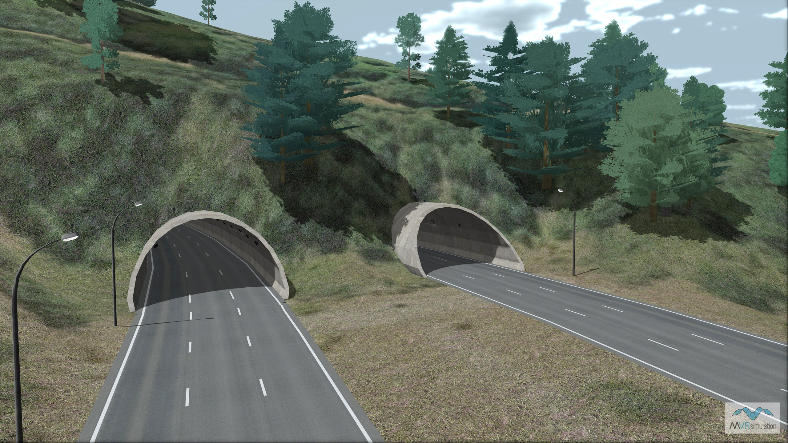
These virtual urban environments support a wide range of simulation and training applications, offering immersive settings that capture the complexity of real-world cities. Features such as multistory buildings, road systems, alleyways, overpasses, typical urban culture, and vegetation are included to create dense, interactive environments ideal for urban operations training, mission planning, and situational awareness exercises. The blend of high-resolution geospatial data with advanced 3D modeling techniques enables users to engage in realistic urban scenarios, replicating the challenges of navigating and operating in congested and multifaceted metropolitan terrains.
Browse VRSG Urban Training Environements


EXTEND YOUR TERRAIN DATABASE
MVRsimulation Downloads Server
- Explore and implement terrain updates
- Download and use new 3D models
- Stay up-to-date with VRSG features
- Discover utilies for expanding VRSG

MVRsimulation Regional Terrain Drives
- External hard drive - regional terrian
- Network attached storage device - whole-world terrain
- Ready for plug and play
- Available to customers on active maintenance
MVRsimulation Produced Custom Terrain
- Custom terrain created by MVRsimulation's terrain team
- Specify your desired area of interest
- Indentify needed terrain features.
- Use your own or commercially available imagery
Create Terrain with Terrain Tools
- Build real-time 3D terrain for VRSG using GIS technology with ArcGIS Pro
- Designed to be user-friendly for users with basic ArcGIS knowledge
- Use imagery, elevation, and optional vector data to create terrain
- Compile buildings from 2D polygon footprint features using a CityEngine rule package