Bismarck Municipal Airport (KBIS) Terrain Database Information
- Imagery: 15cm
- Elevation: Interpolated NED 1/3 (10m) and DTED1, to match FAA airfield elevations with at least 95% accuracy
- Terrain Drive: CONUS North Central
- Cultural Features: CityEngine/Geotypical Buildings, Control Tower, Custom Models (Geospecific Buildings), Hangars, Lighting for Non-Runway Areas (Streetlights), Runway, Runway Lights, Trees, Tanks
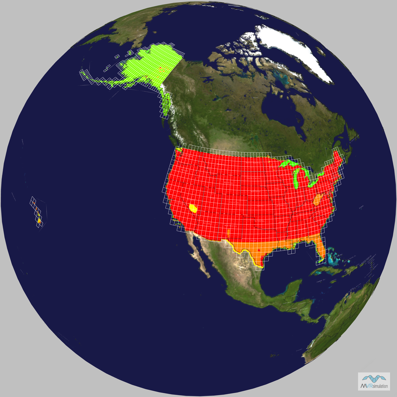
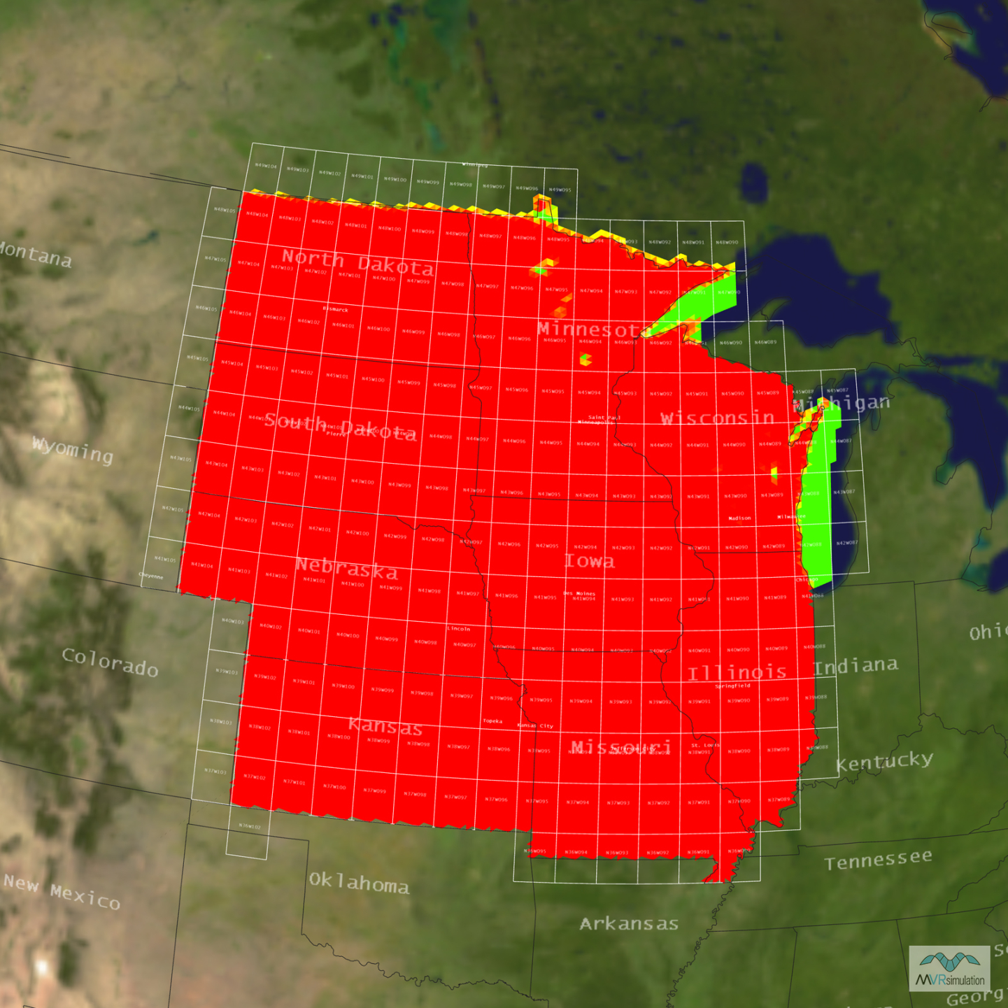
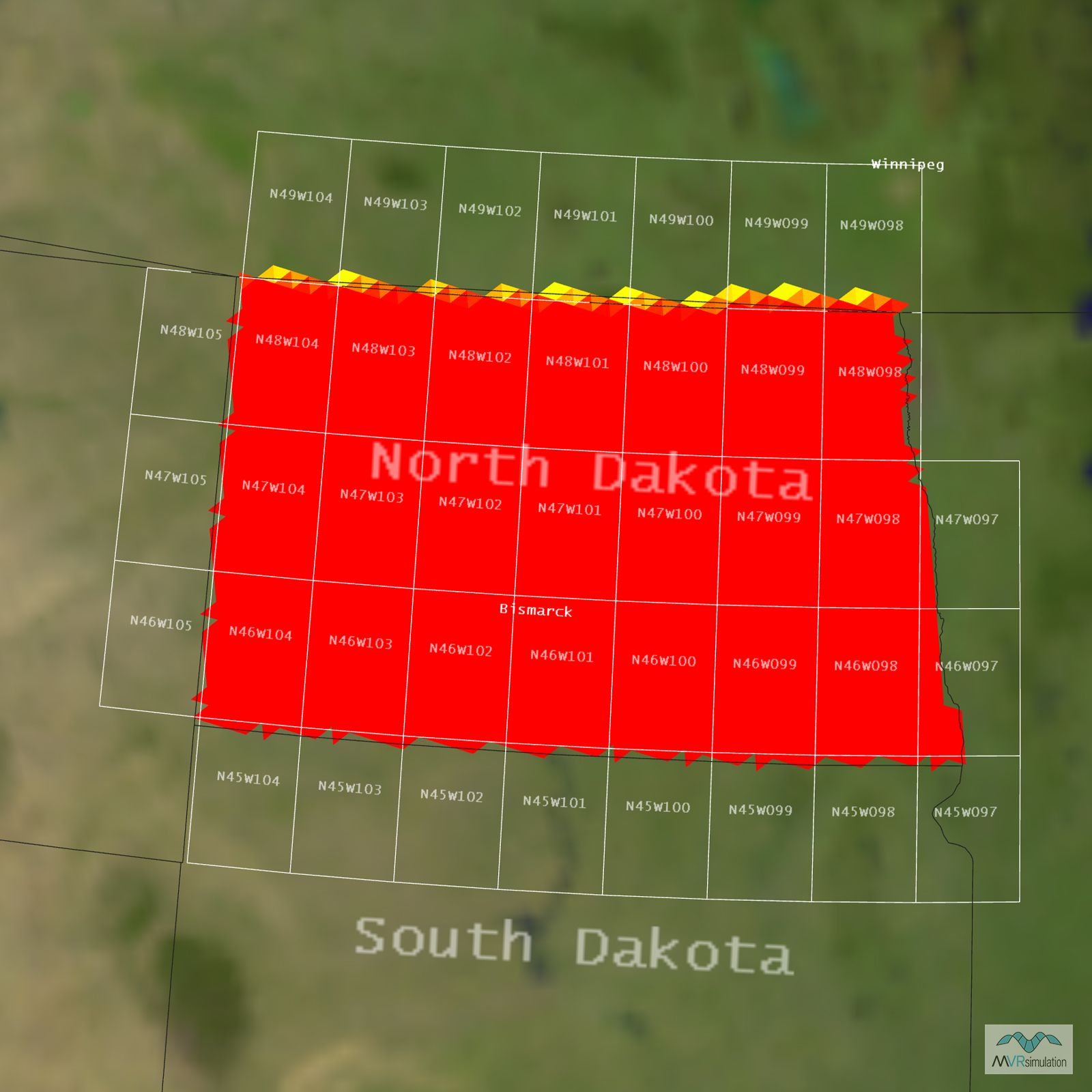
Tile Coverage Map
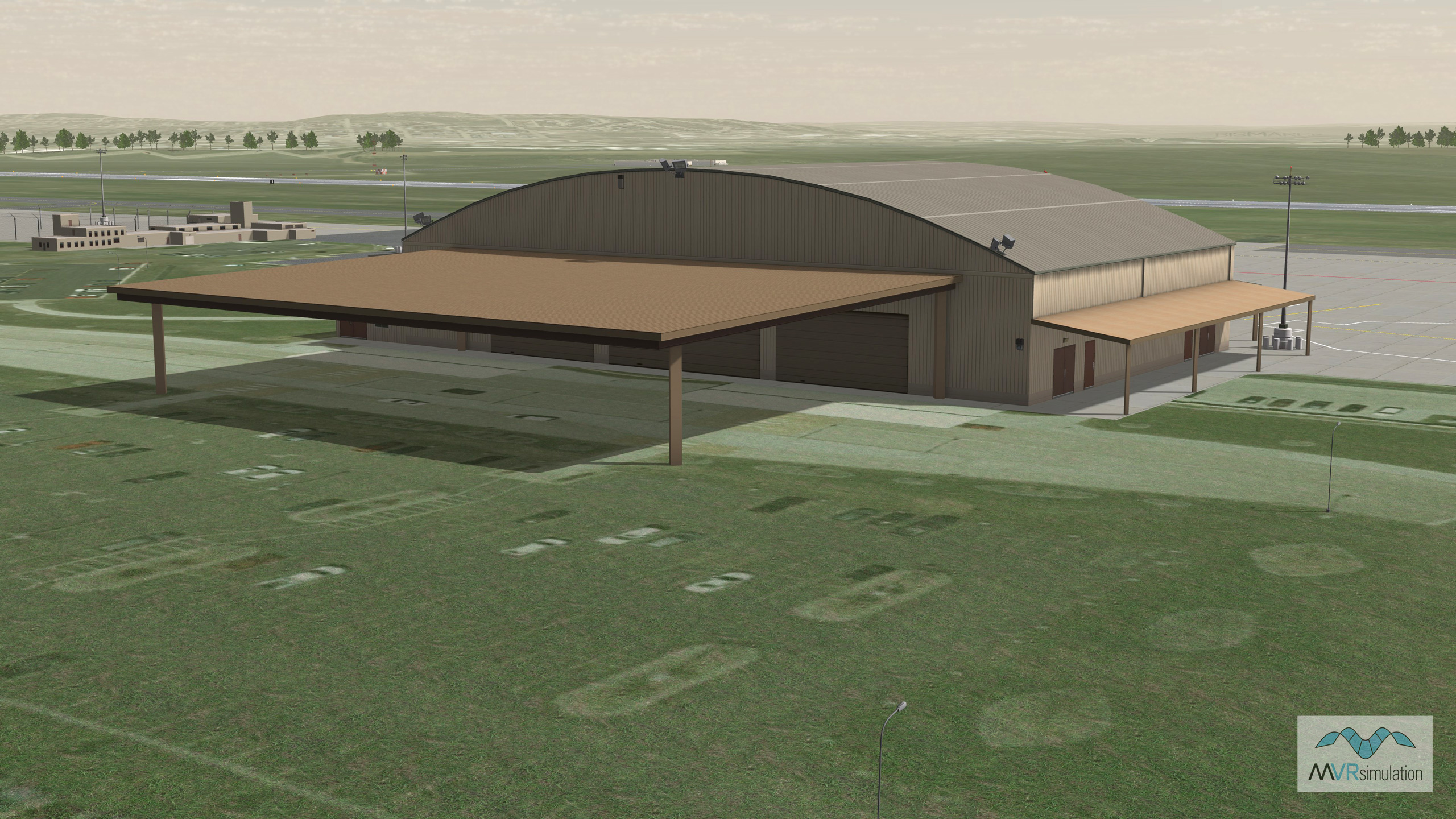
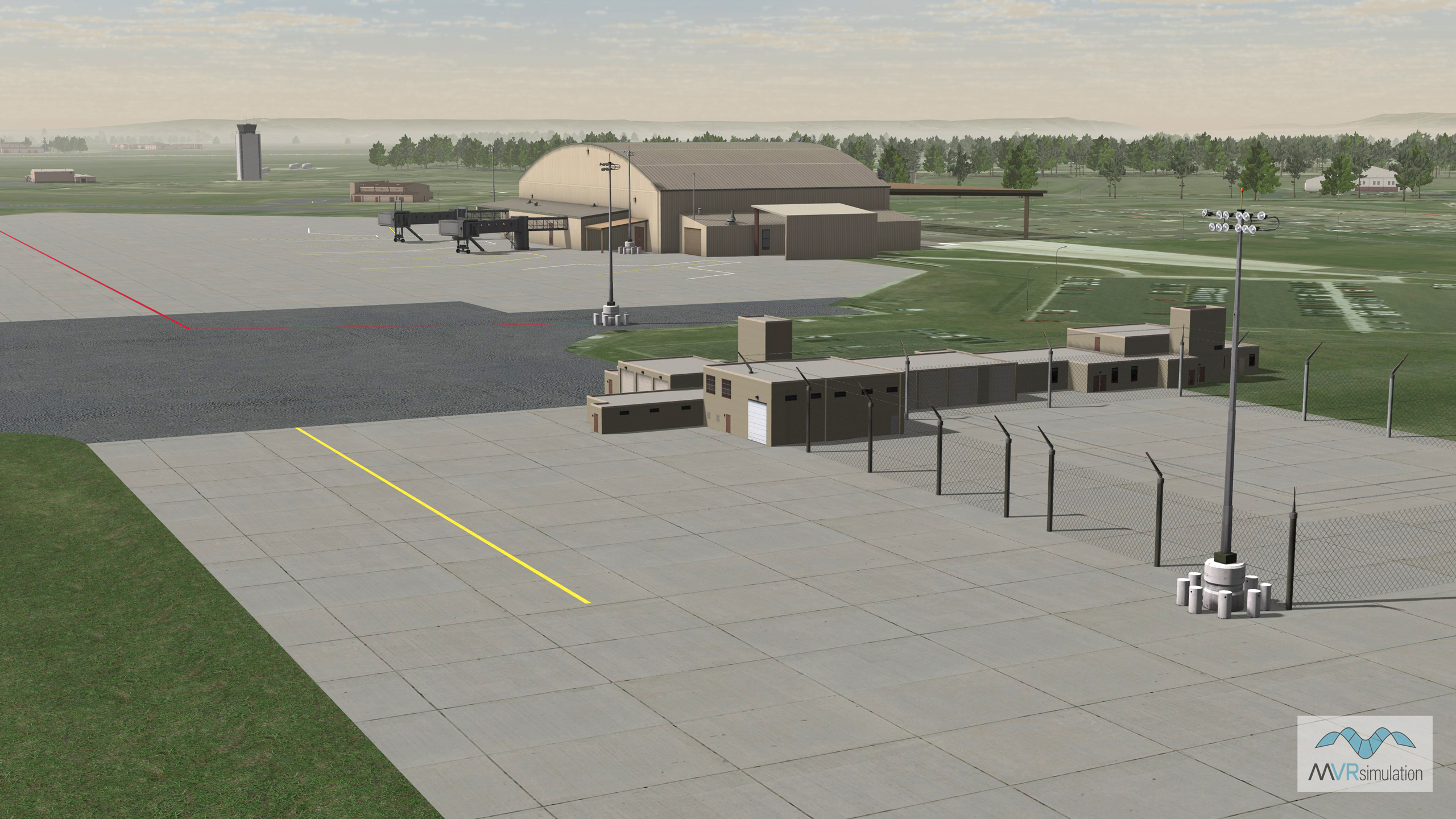
VRSG real-time scene of virtual Bismarck Municipal Airport (KBIS) with geospecific hangar model and other cultural content.
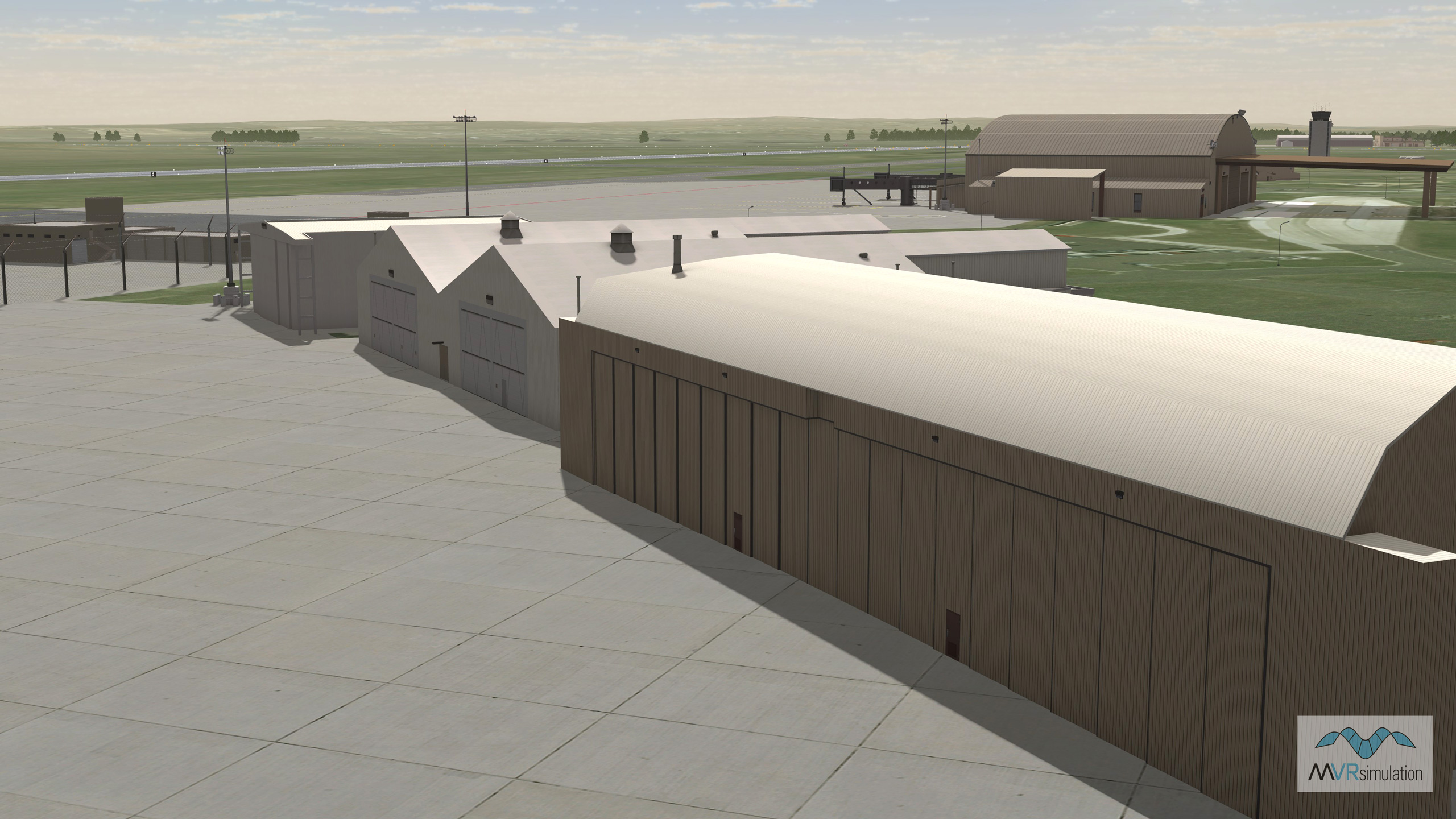
VRSG real-time scene of virtual Bismarck Municipal Airport (KBIS) with hangars and other airport buildings.
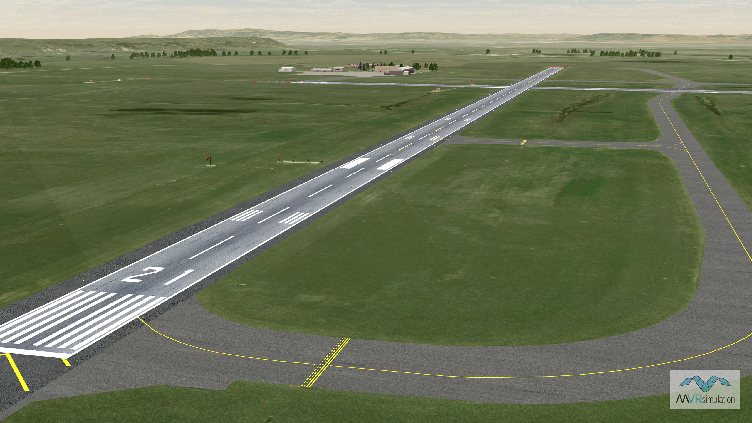
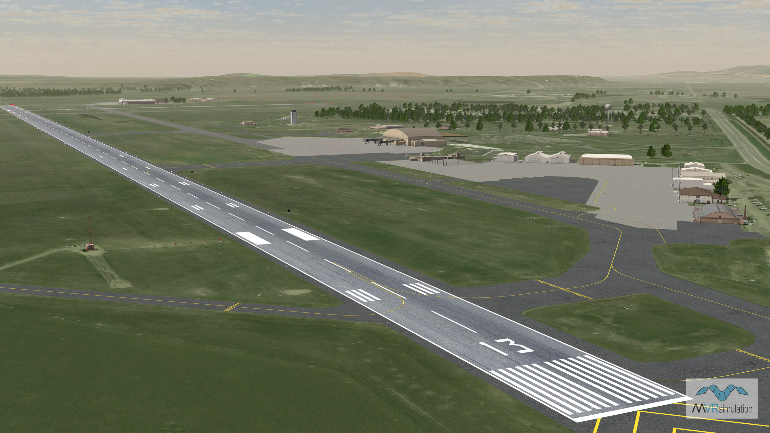
VRSG real-time scene of virtual Bismarck Municipal Airport (KBIS) runway area.