
Tokyo, Japan

Tokyo, Japan

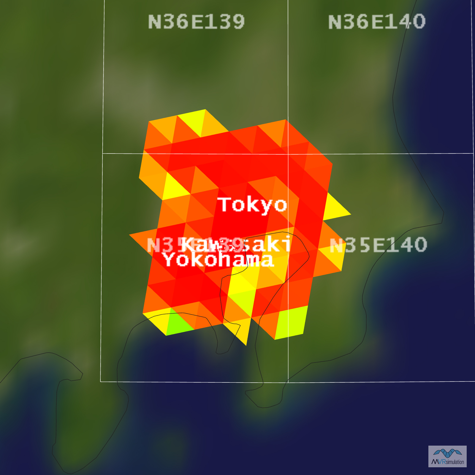
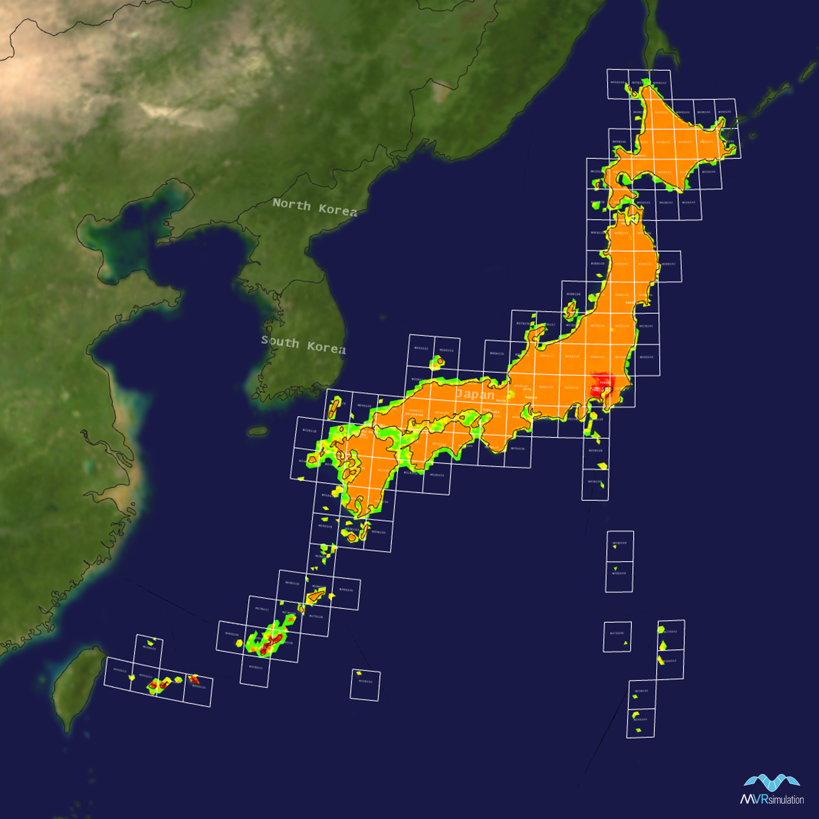
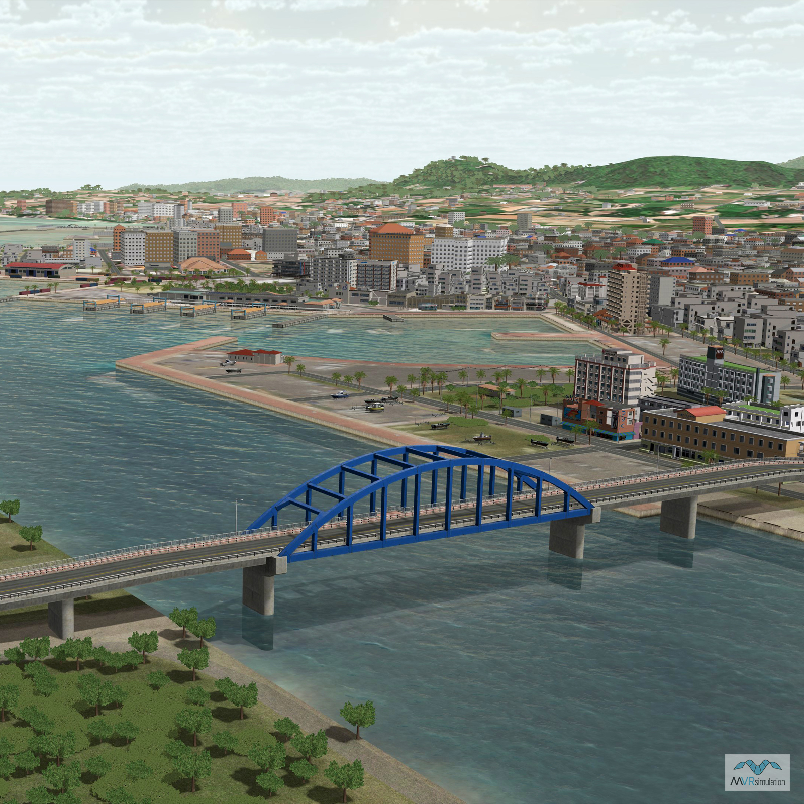
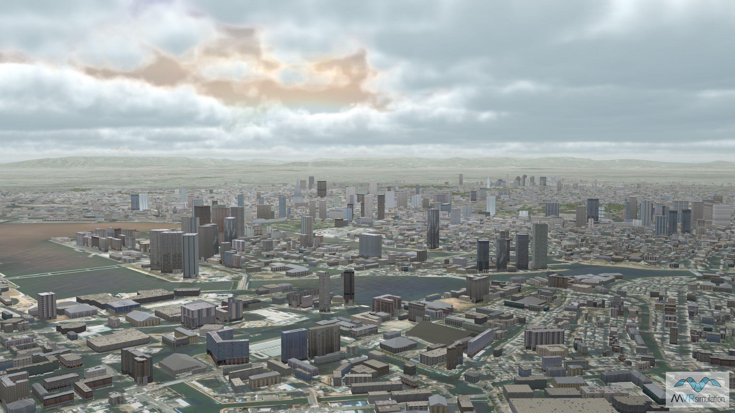
Tokyo, Japan Terrain Database Information

  • Imagery: 40cm
  • Elevation: GIAJ 10m
  • Terrain Drive: Asia & Middle East
  • Tokyo, Japan terrain based on "Elevation and Image Data" from the Geospatial Information Authority of Japan (GSI).
  • Cultural Features: CityEngine Buildings, Trees, Water Features (Lakes, Rivers, etc)

Tile Coverage Map

Related Terrain

EXTEND YOUR TERRAIN DATABASE

MVRsimulation Downloads Server

  • Explore and implement terrain updates
  • Download and use new 3D models
  • Stay up-to-date with VRSG features
  • Discover utilies for expanding VRSG
    Filler for Spacing

Request Account

MVRsimulation Regional Terrain Drives

  • External hard drive - regional terrian
  • Network attached storage device - whole-world terrain
  • Ready for plug and play
  • Available to customers on active maintenance
    Filler for Spacing

Request Drive

MVRsimulation Produced Custom Terrain

  • Custom terrain created by MVRsimulation's terrain team
  • Specify your desired area of interest
  • Indentify needed terrain features.
  • Use your own or commercially available imagery
    Filler for Spacing

Request Quote

Create Terrain with Terrain Tools

  • Build real-time 3D terrain for VRSG using GIS technology with ArcGIS Pro
  • Designed to be user-friendly for users with basic ArcGIS knowledge
  • Use imagery, elevation, and optional vector data to create terrain
  • Compile buildings from 2D polygon footprint features using a CityEngine rule package
    Filler for Spacing

Terrain Tools