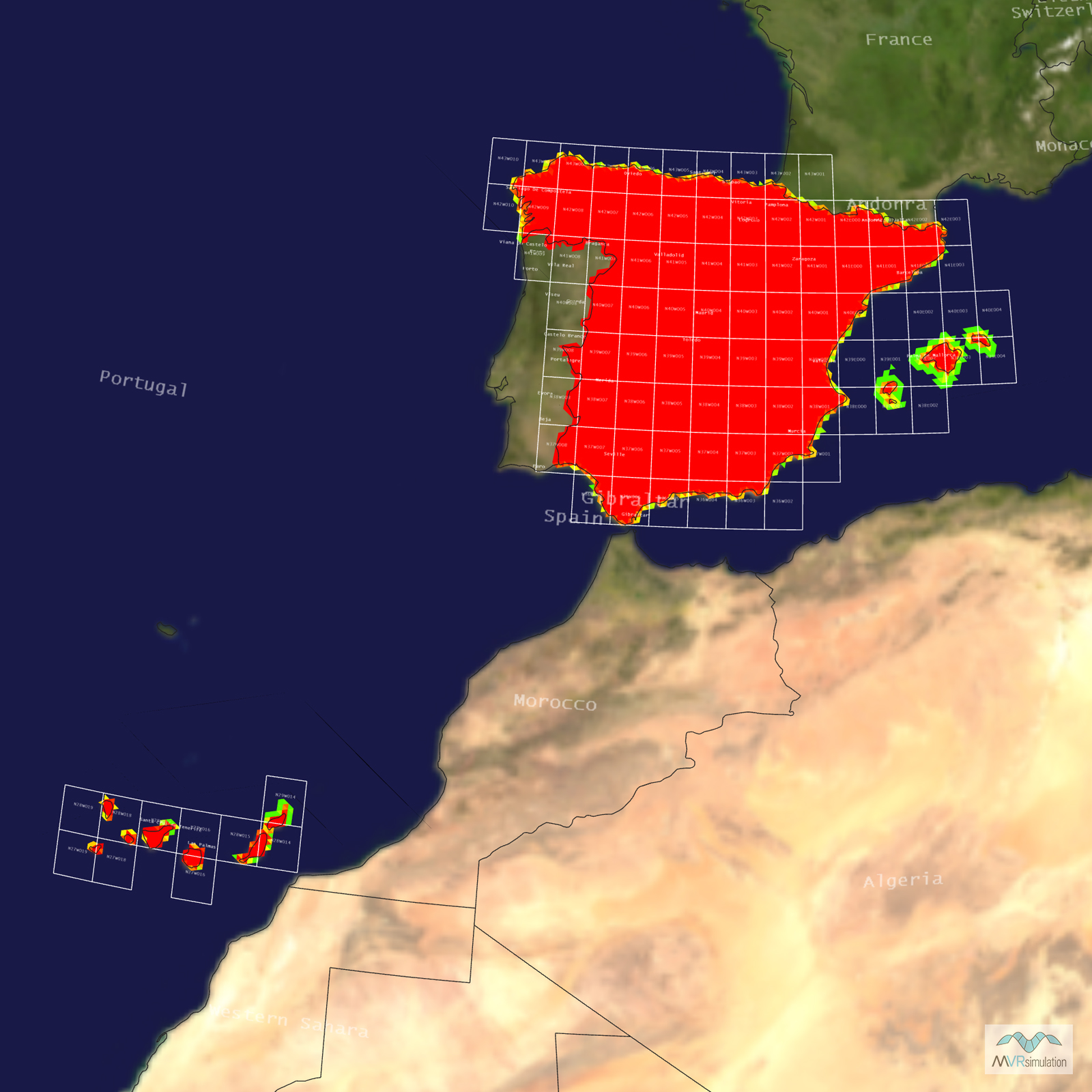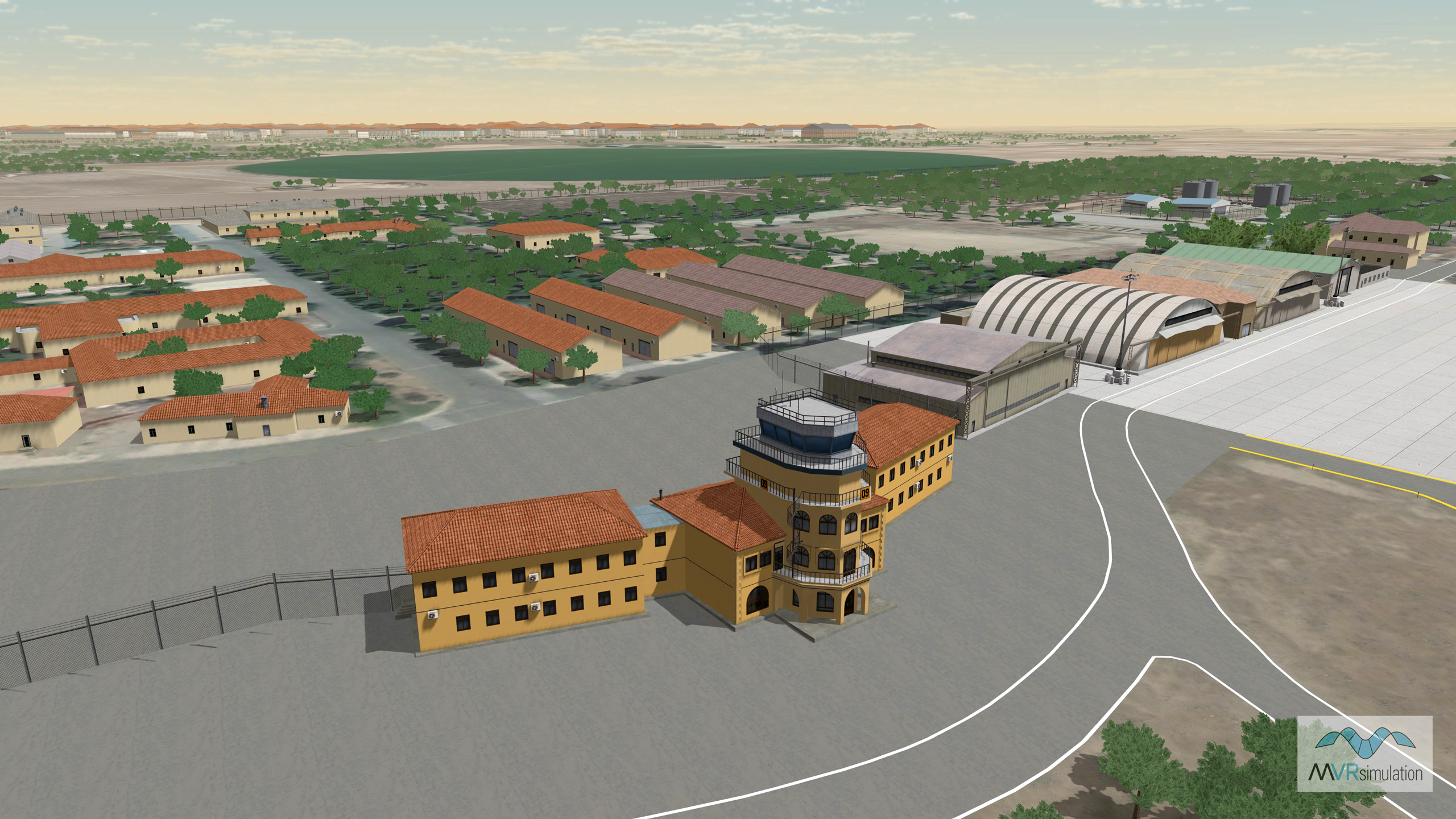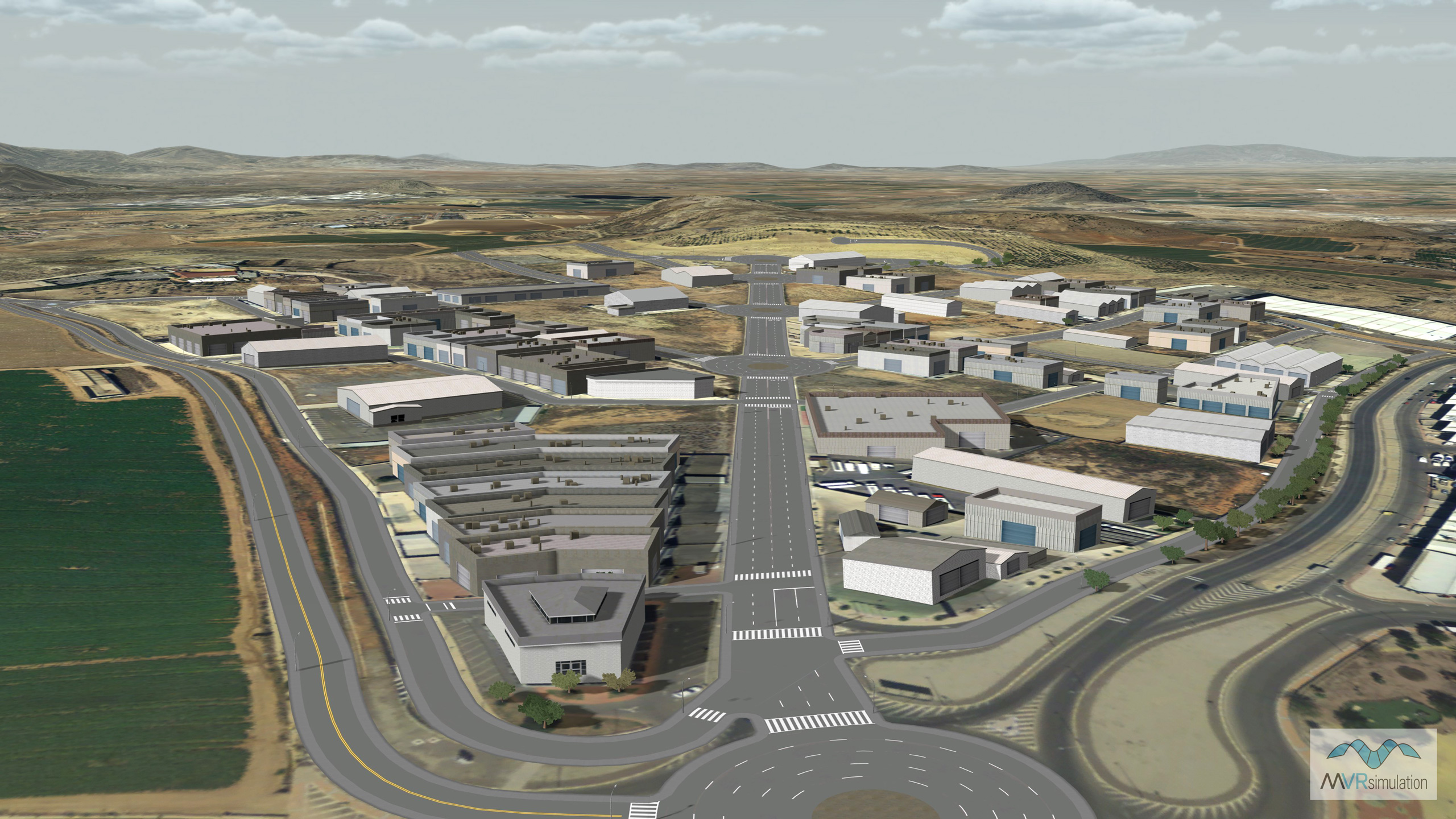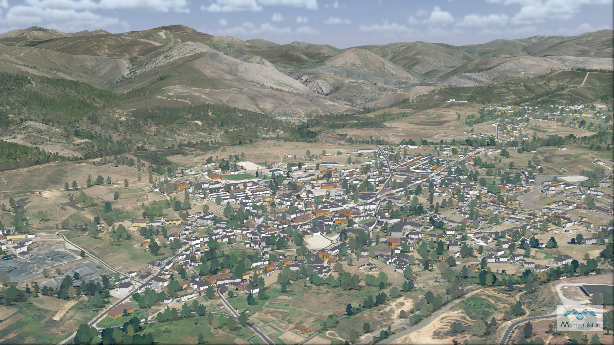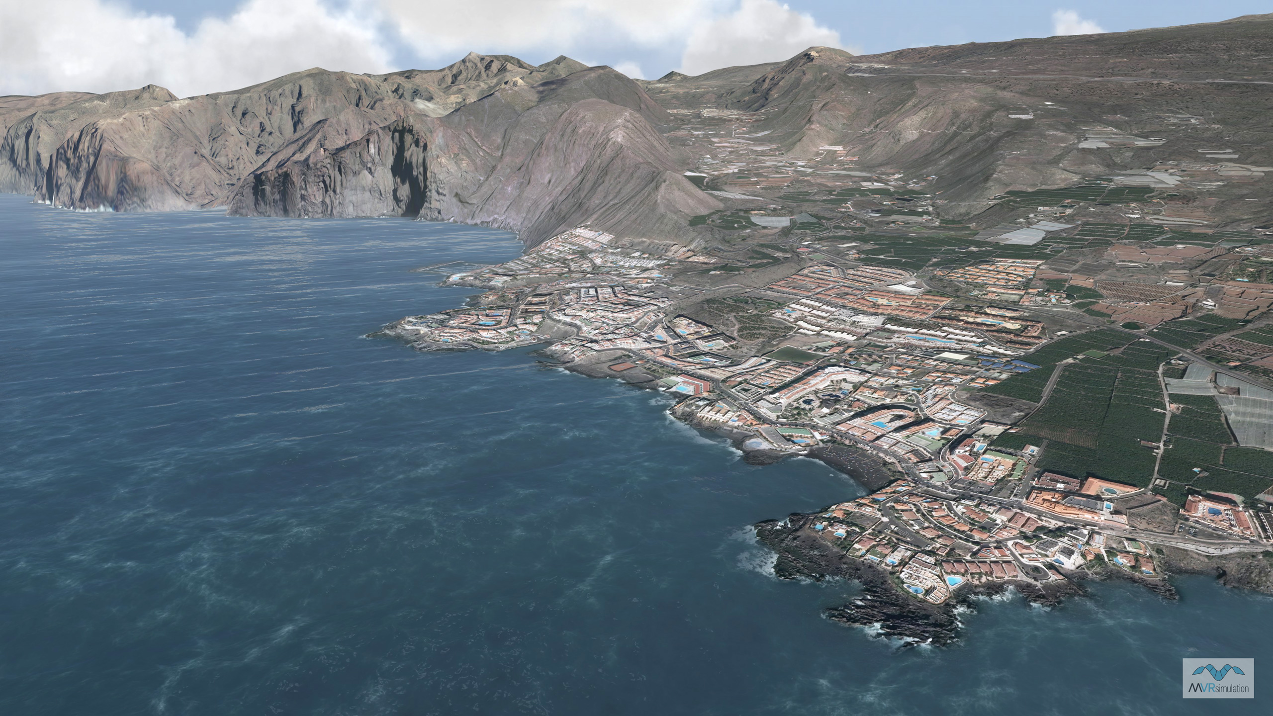
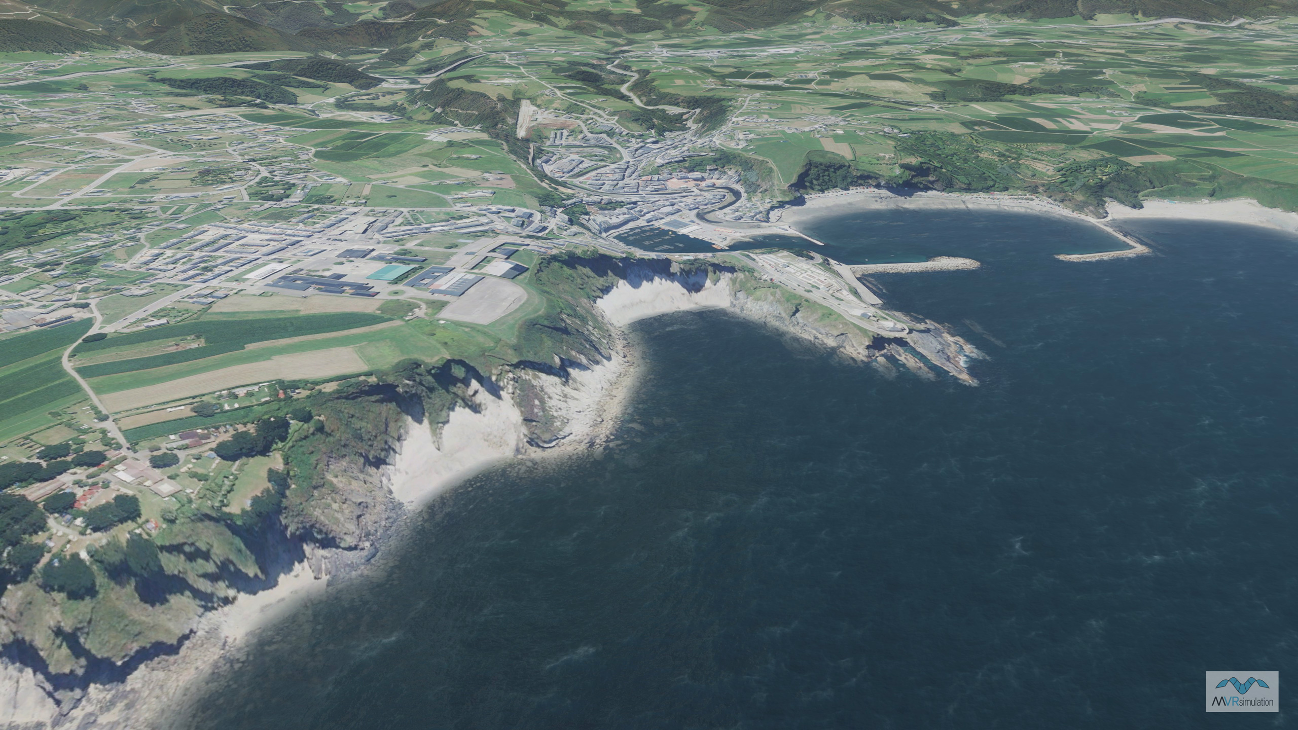
Spain Terrain Database Information
- Imagery: 50cm
- Elevation: SRTM 30m
- Terrain Drive: Europe
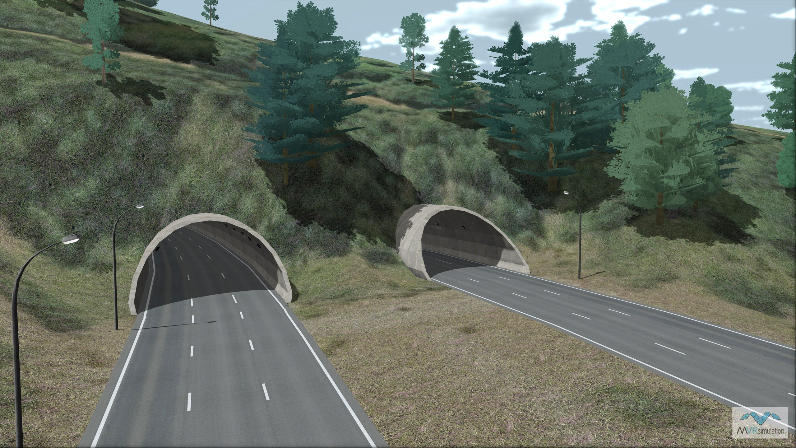
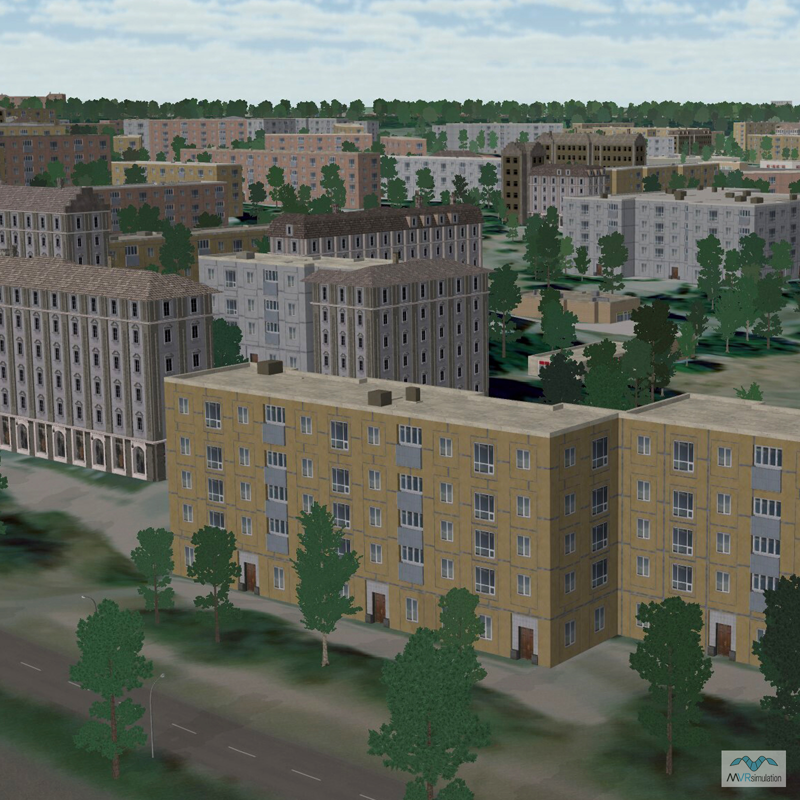
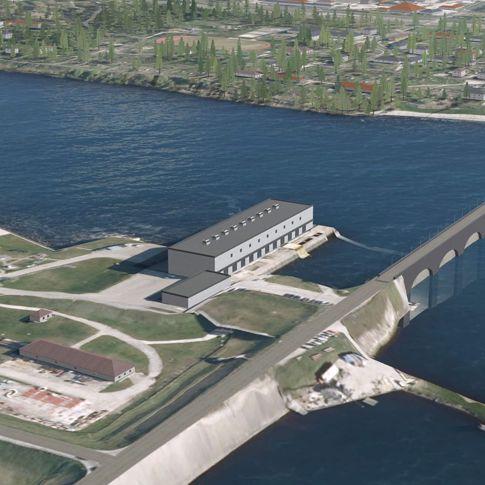
- Cultural Features: CityEngine (Geotypical) Buildings, Light Poles, Lighting for Non-Runway Areas (Streetlights), Port/Bathymetric Data, Trees


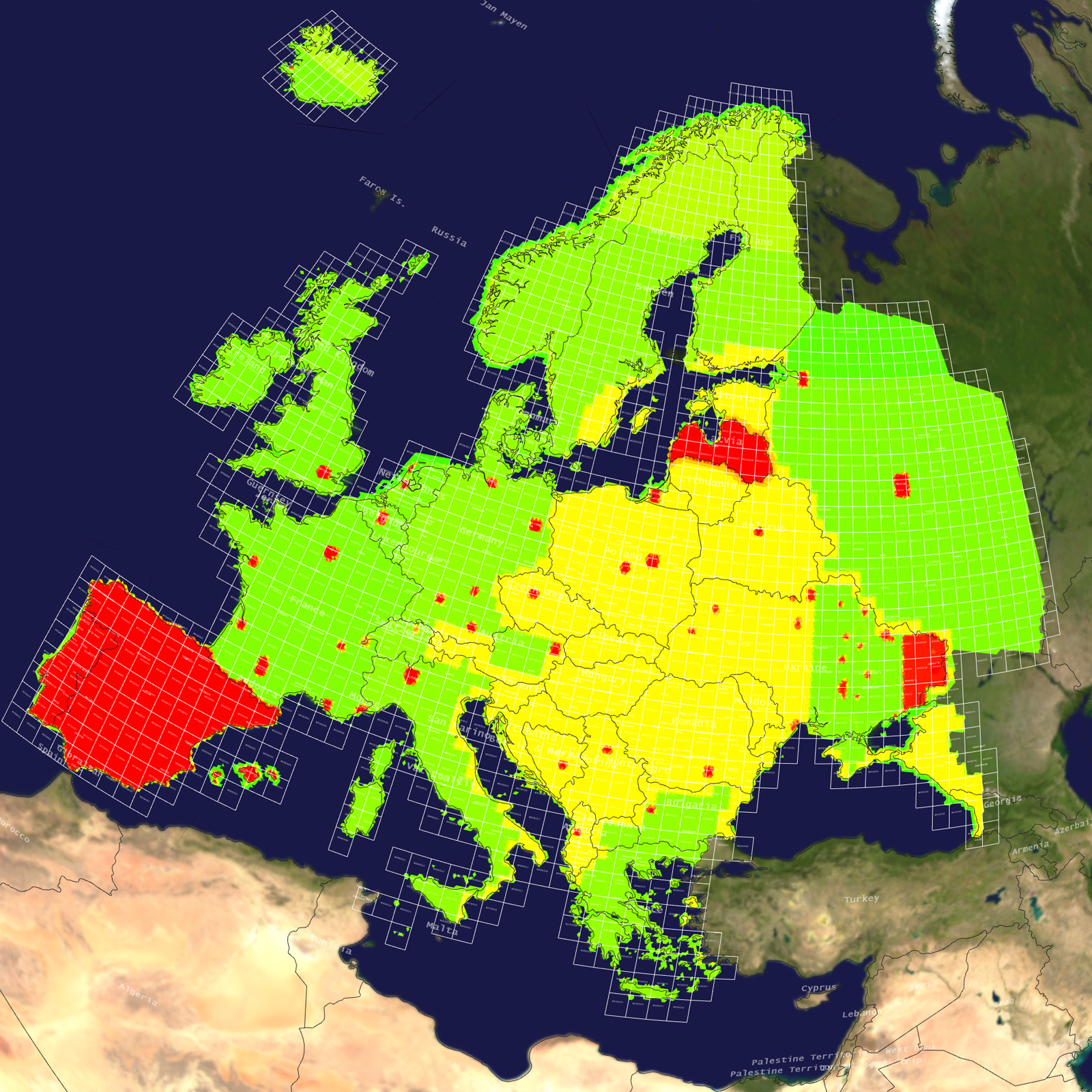
Access our complete list of VRSG-ready Areas of Interest (AOI) without an internet connection. The 3D Terrain Database Catalog is designed for reference within secure facilities. Download and print this document to keep MVRsimulation’s global terrain data at your fingertips. For more information about acquiring these AOIs for immediate use, see the Download or Obtain tabs in this section.