Buckley Air Force Base (KBKF) Terrain Database Information
- Imagery: 15cm blended into 1 mpp CONUS imagery surrounding the area
- Elevation: Interpolated NED 1/3 (10m) and DTED1, to match FAA airfield elevations with at least 95% accuracy
- Terrain Drive: CONUS Southwest
- Surrounding Buckley AFB is terrain of the Greater Denver area. For simulating night scenes, the terrain contains thousands of cultural light points of Buckley AFB, Aurora, and Denver.
- Cultural Features: CityEngine (Geotypical) Buildings, Control Tower, Custom Models (Geospecific Buildings), Hangars, Lighting for Non-Runway Areas (Streetlights), Runway, Runway Lights, Signs, Trees, Water Tanks/Towers
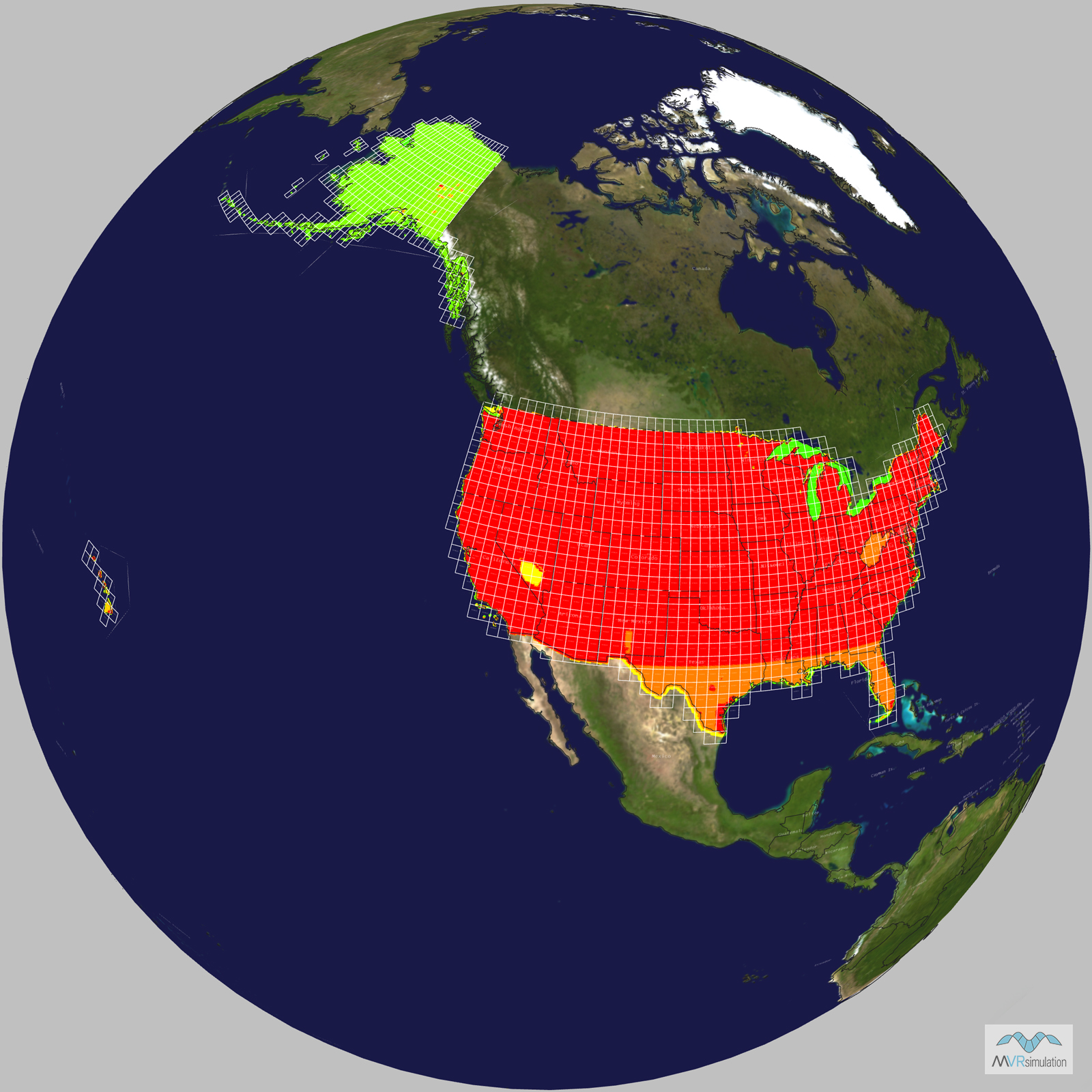
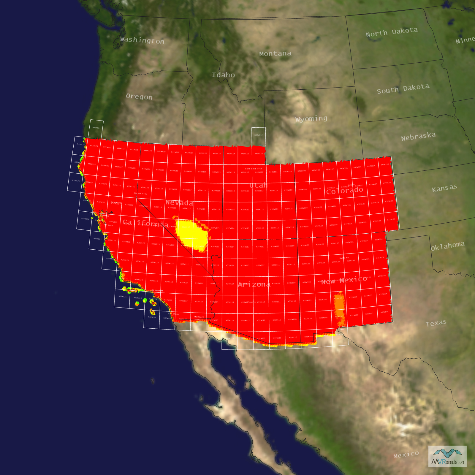
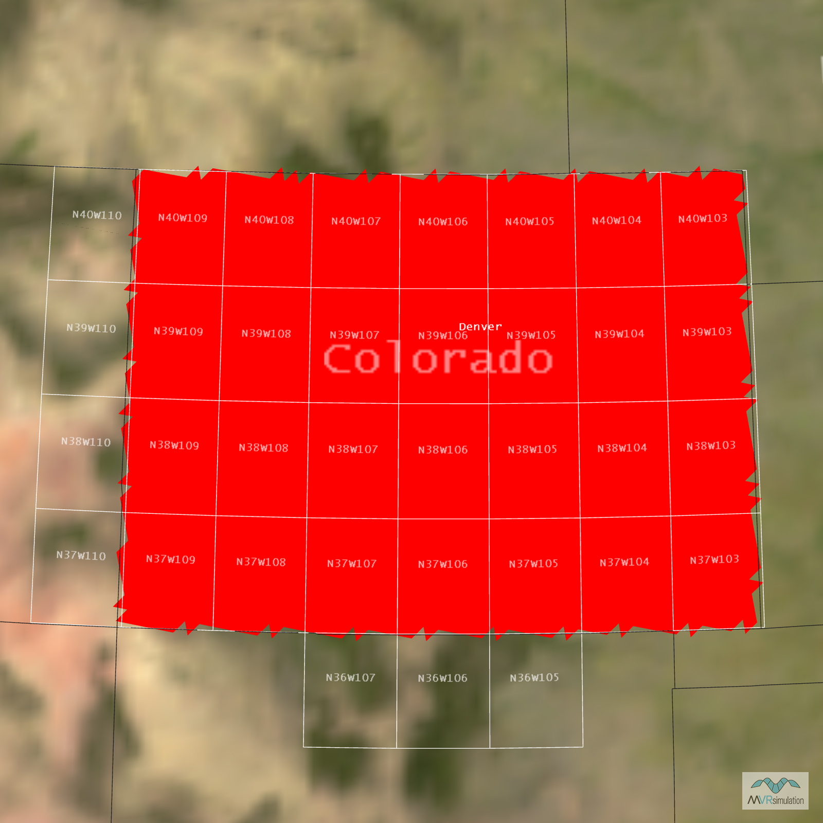
Tile Coverage Map
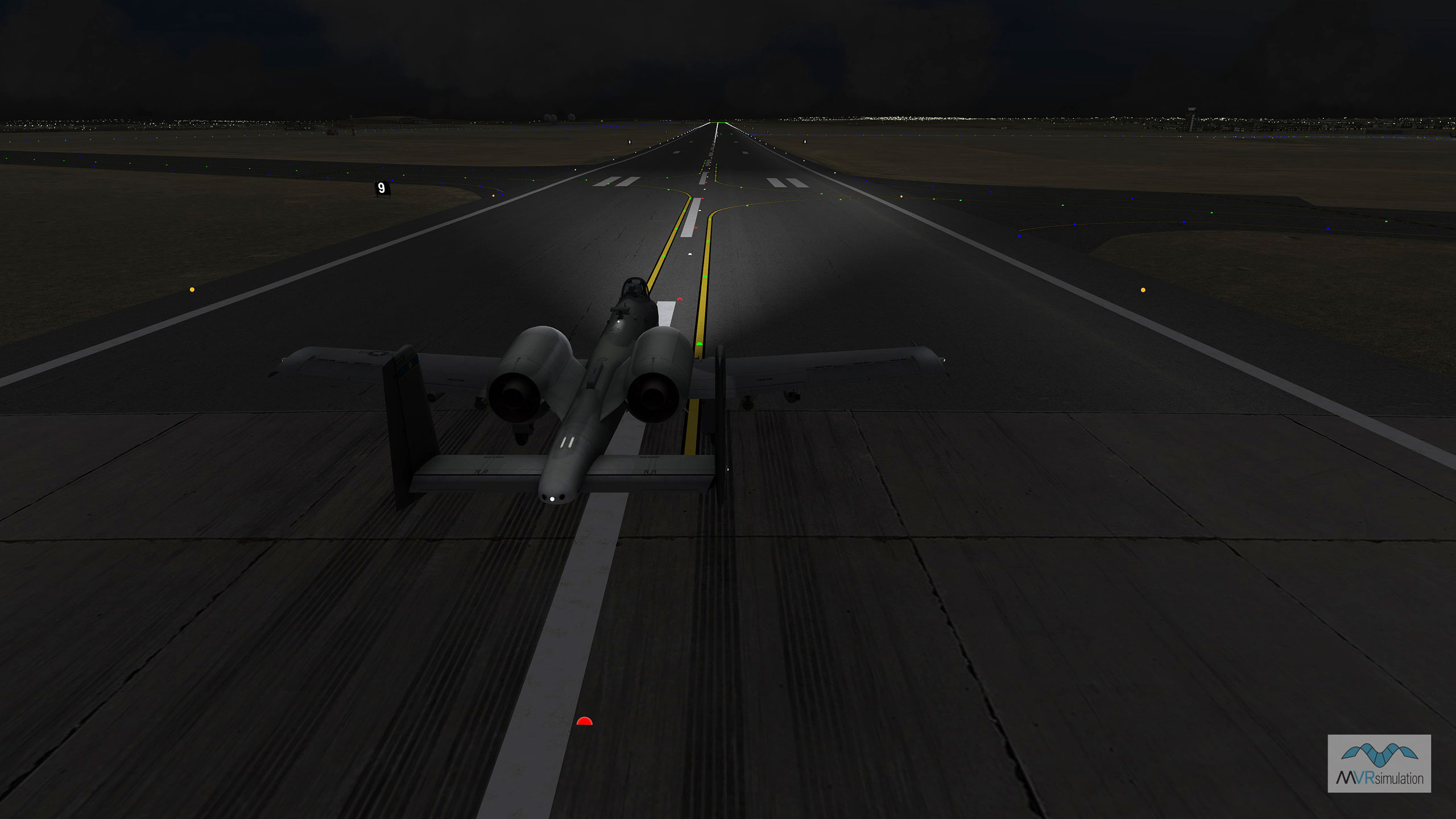
VRSG real-time night scene of an A-10 entity taxiing at virtual Buckley Air Force Base.
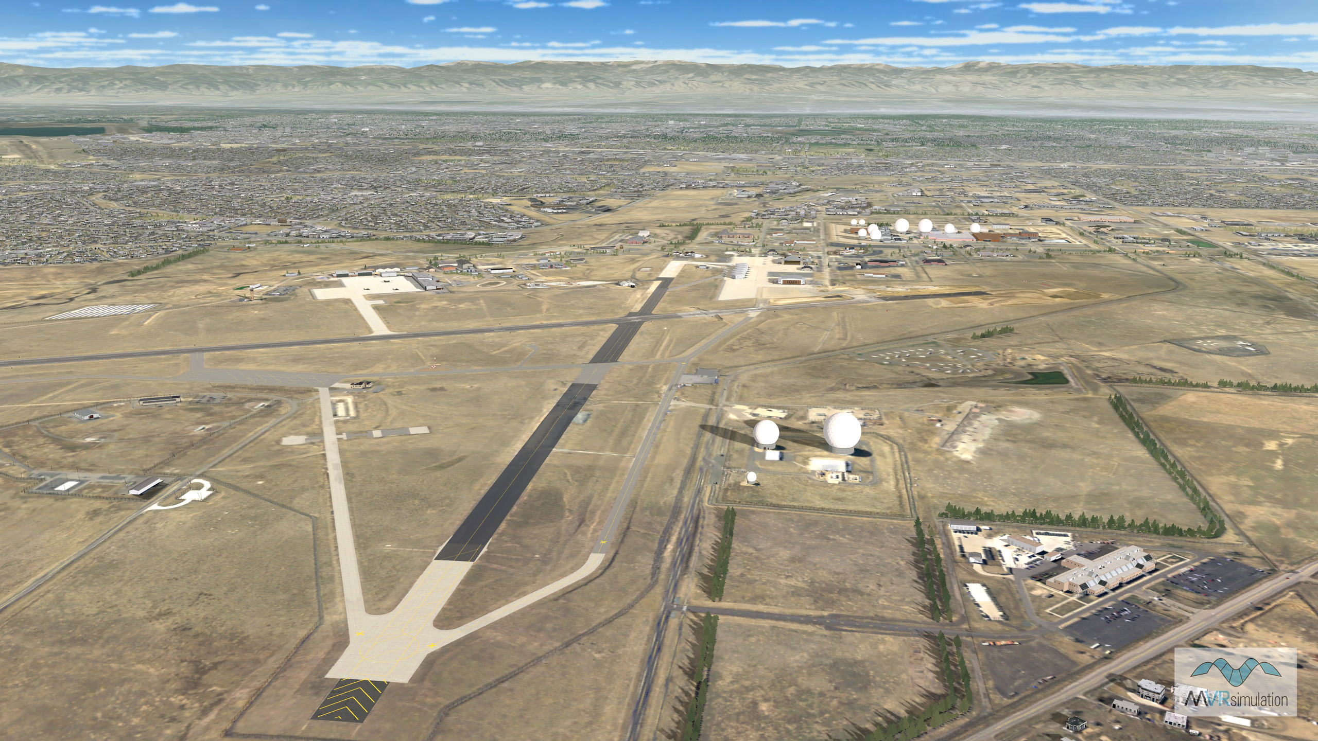
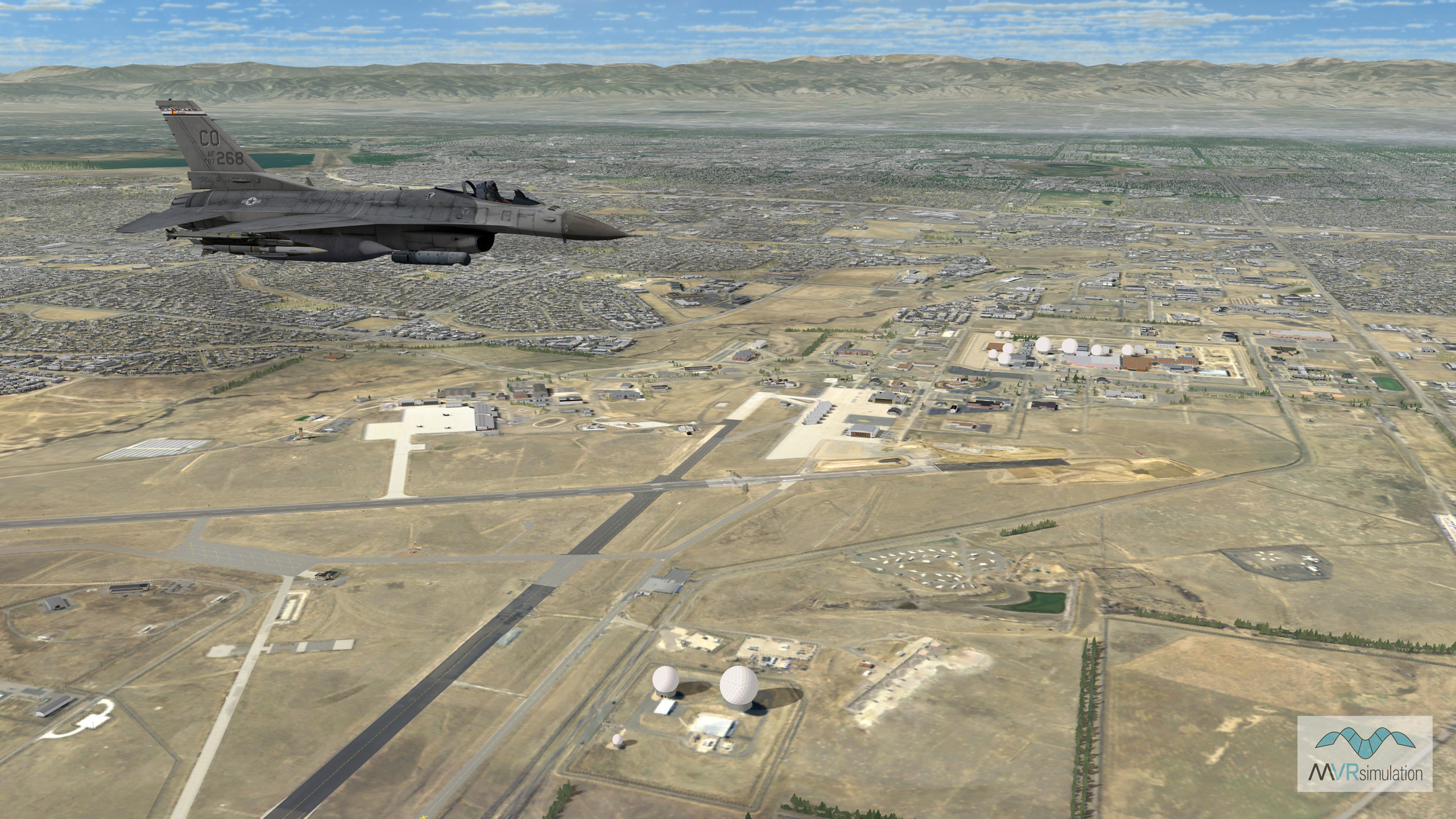
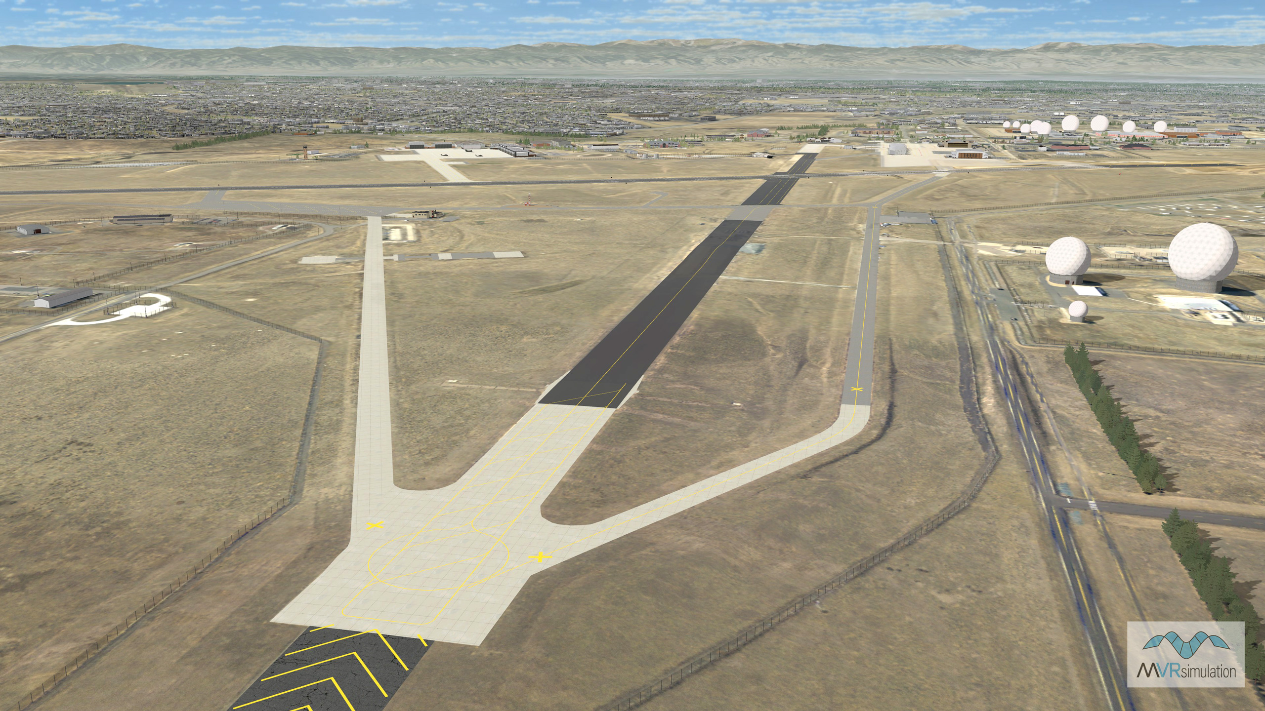
VRSG real-time scene of virtual Buckley Air Force Base (KBKF) runway area.
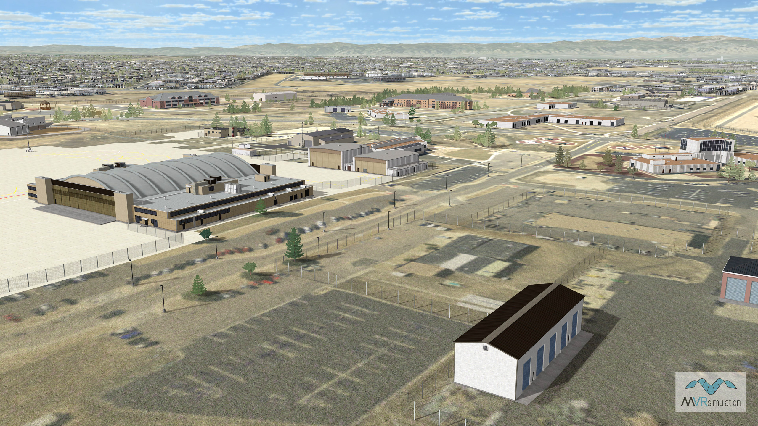
VRSG real-time scene of of cultural features on virtual Buckley Air Force Base (KBKF).
EXTEND YOUR TERRAIN DATABASE
MVRsimulation Downloads Server
- Explore and implement terrain updates
- Download and use new 3D models
- Stay up-to-date with VRSG features
- Discover utilies for expanding VRSG
MVRsimulation Regional Terrain Drives
- External hard drive - regional terrian
- Network attached storage device - whole-world terrain
- Ready for plug and play
- Available to customers on active maintenance
MVRsimulation Produced Custom Terrain
- Custom terrain created by MVRsimulation's terrain team
- Specify your desired area of interest
- Indentify needed terrain features.
- Use your own or commercially available imagery
Create Terrain with Terrain Tools
- Build real-time 3D terrain for VRSG using GIS technology with ArcGIS Pro
- Designed to be user-friendly for users with basic ArcGIS knowledge
- Use imagery, elevation, and optional vector data to create terrain
- Compile buildings from 2D polygon footprint features using a CityEngine rule package