Tonopah, Nevada Terrain Database Information
- Imagery: 30cm
- Elevation: NED 10
- Terrain Drive: CONUS Southwest
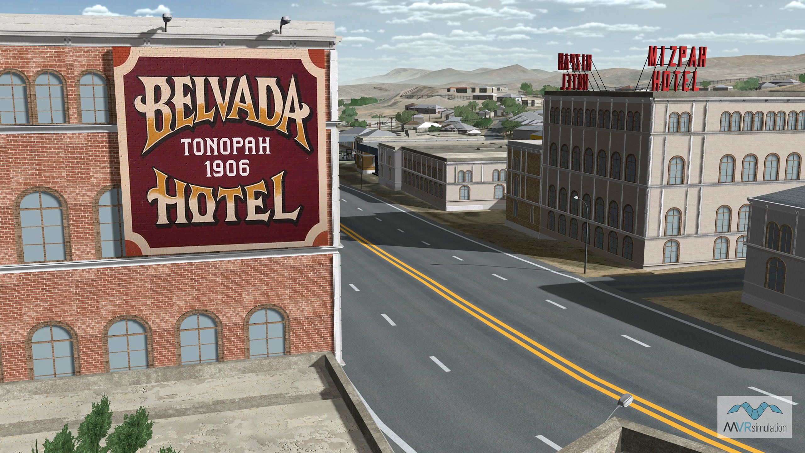
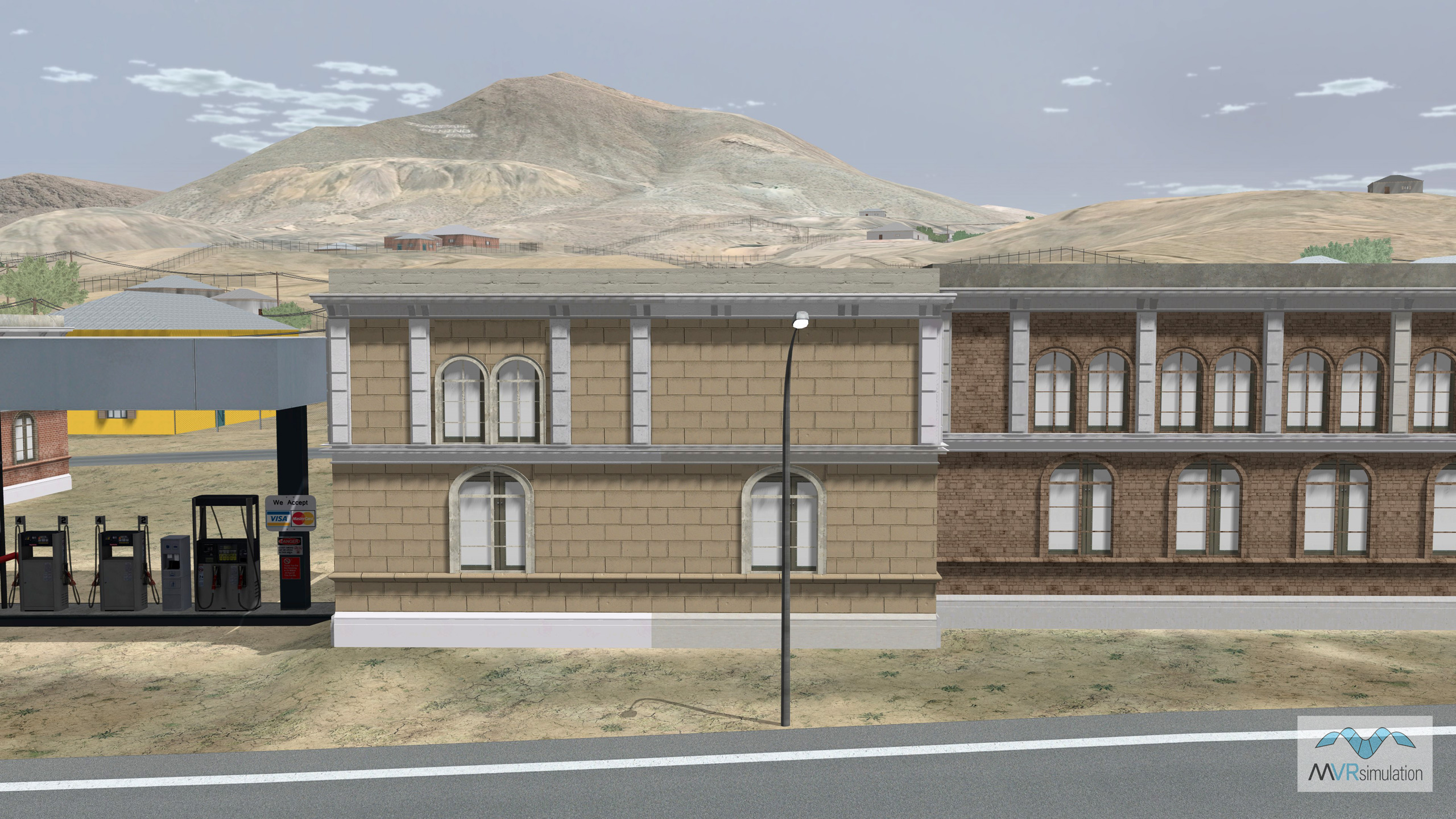
- Geospecific model of the historic Mizpah Hotel
- Cultural Features: CityEngine/Geotypical Buildings, Custom Models (Geospecific Buildings), Light Poles, Lighting for Non-Runway Areas (Streetlights), Roads, Trees, Utilities (Poles, Powerlines or Transmission Lines), Water Tanks/Towers
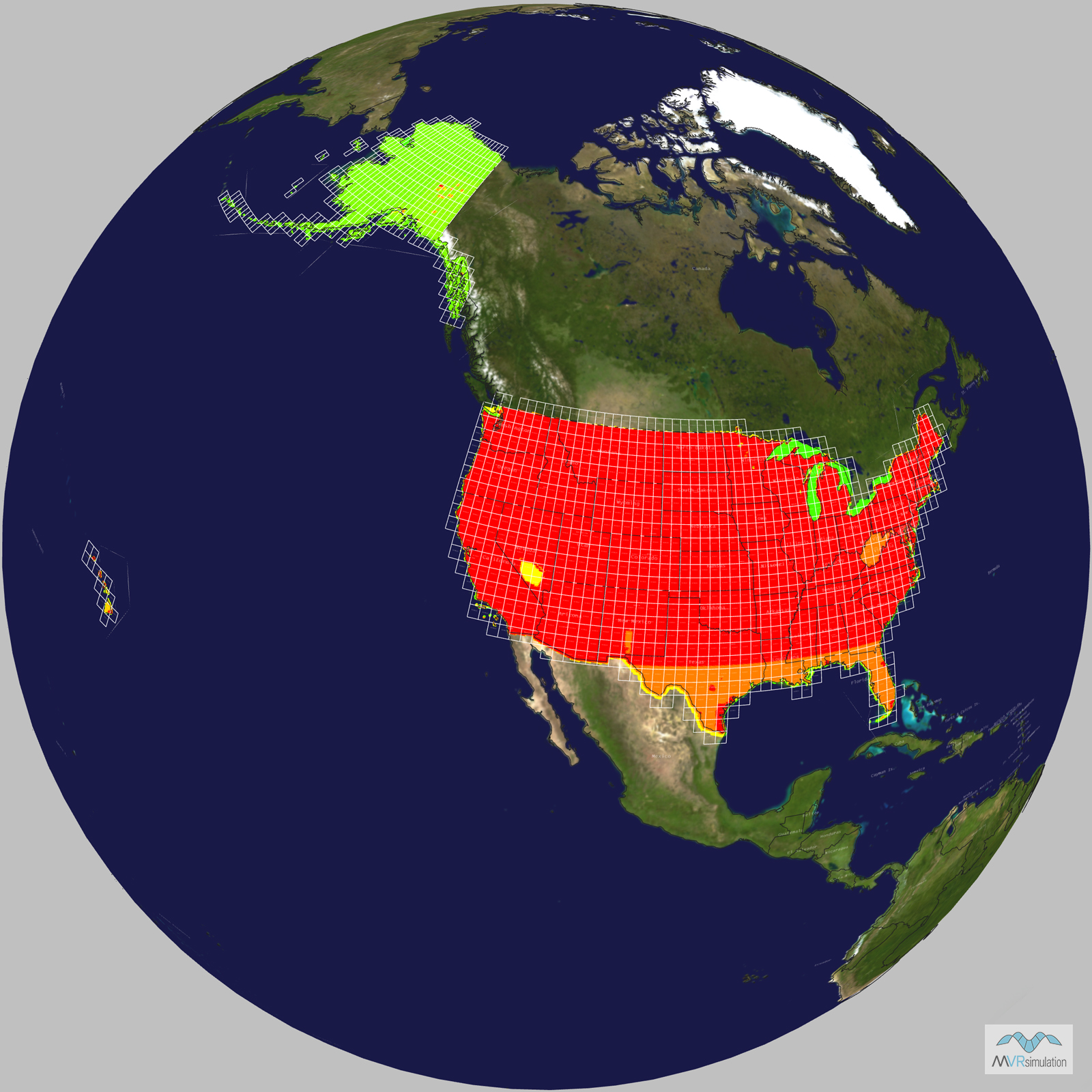
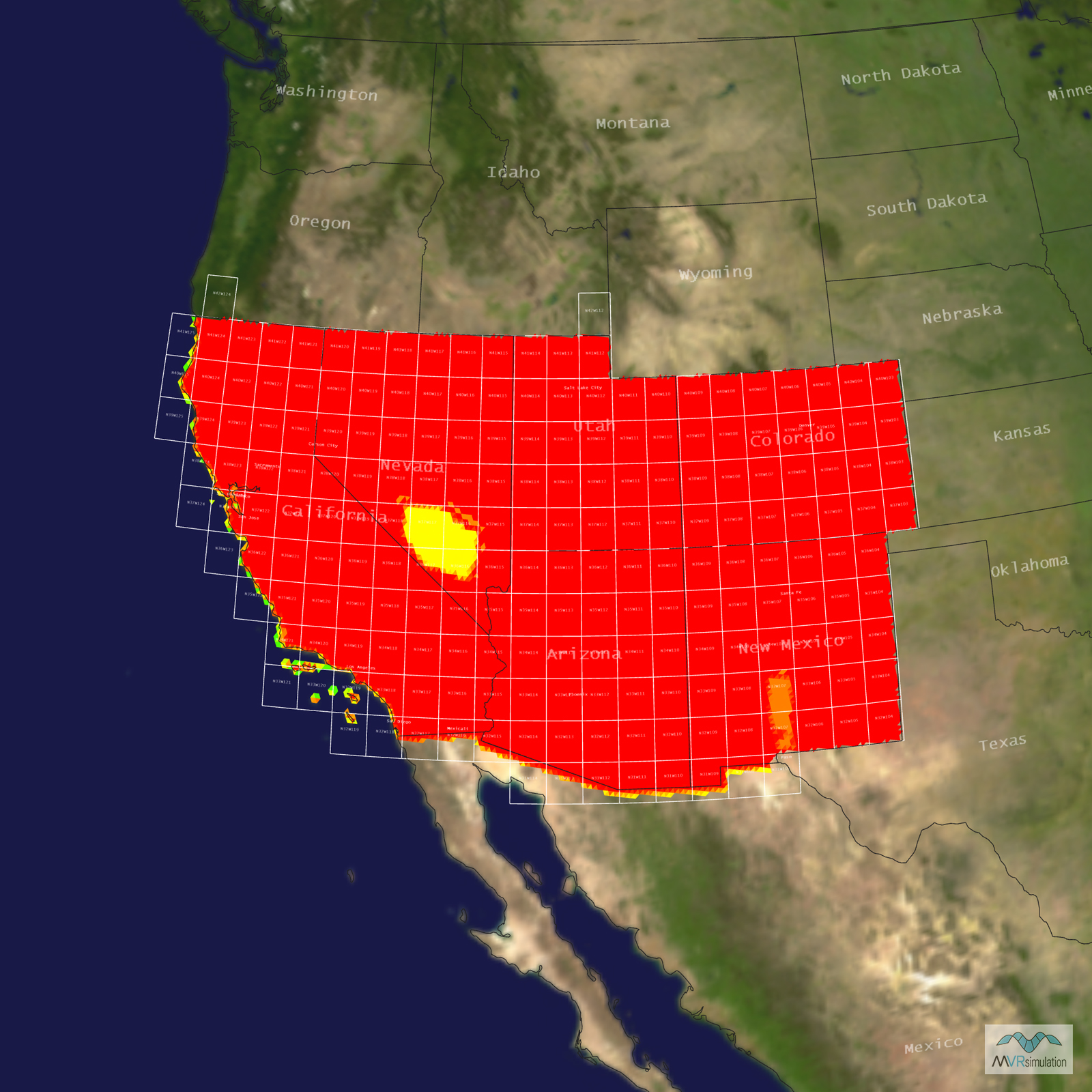
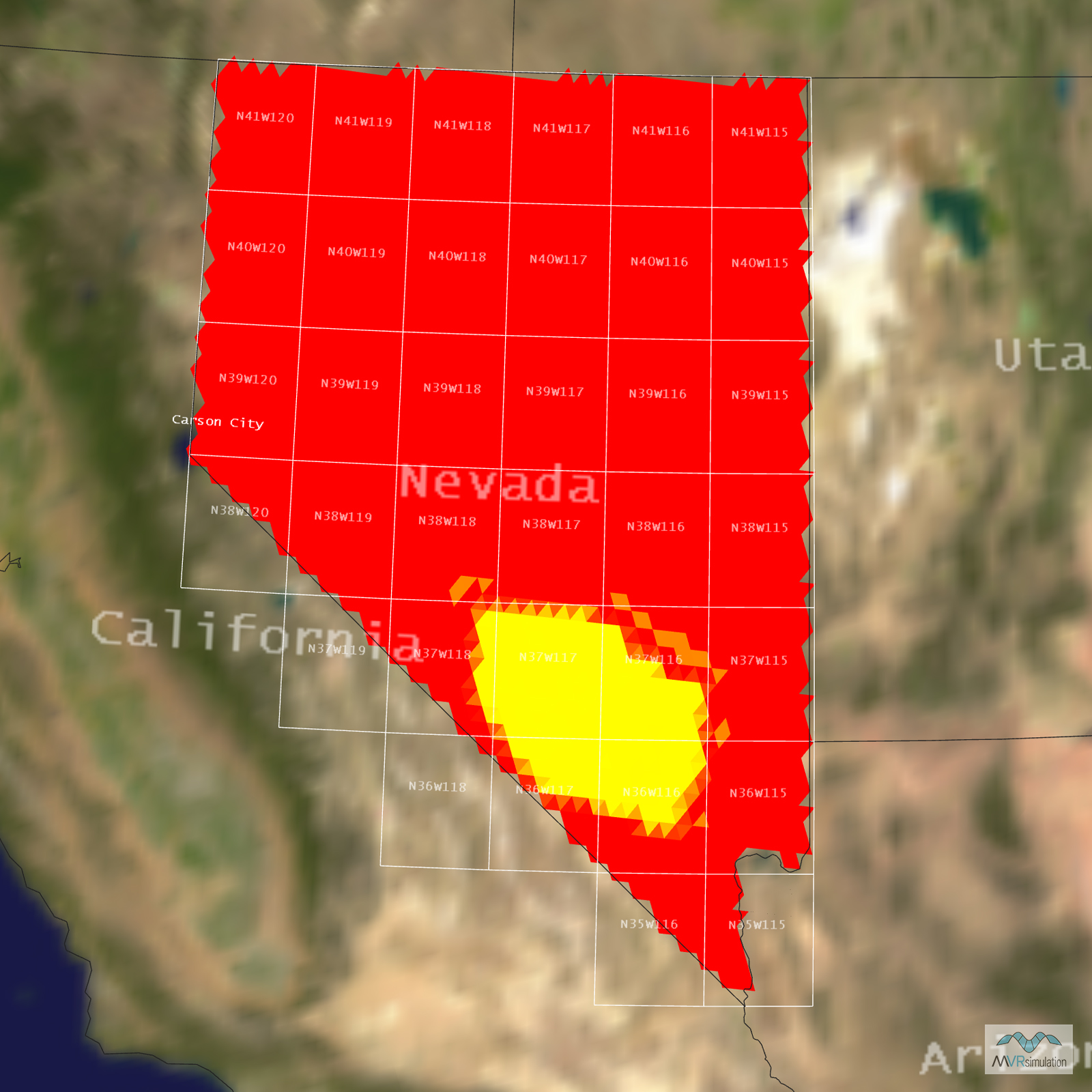
Tile Coverage Map
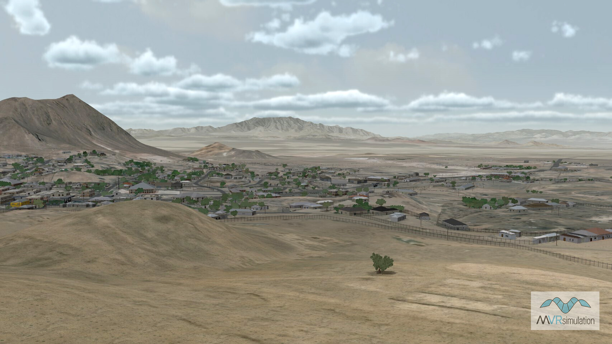
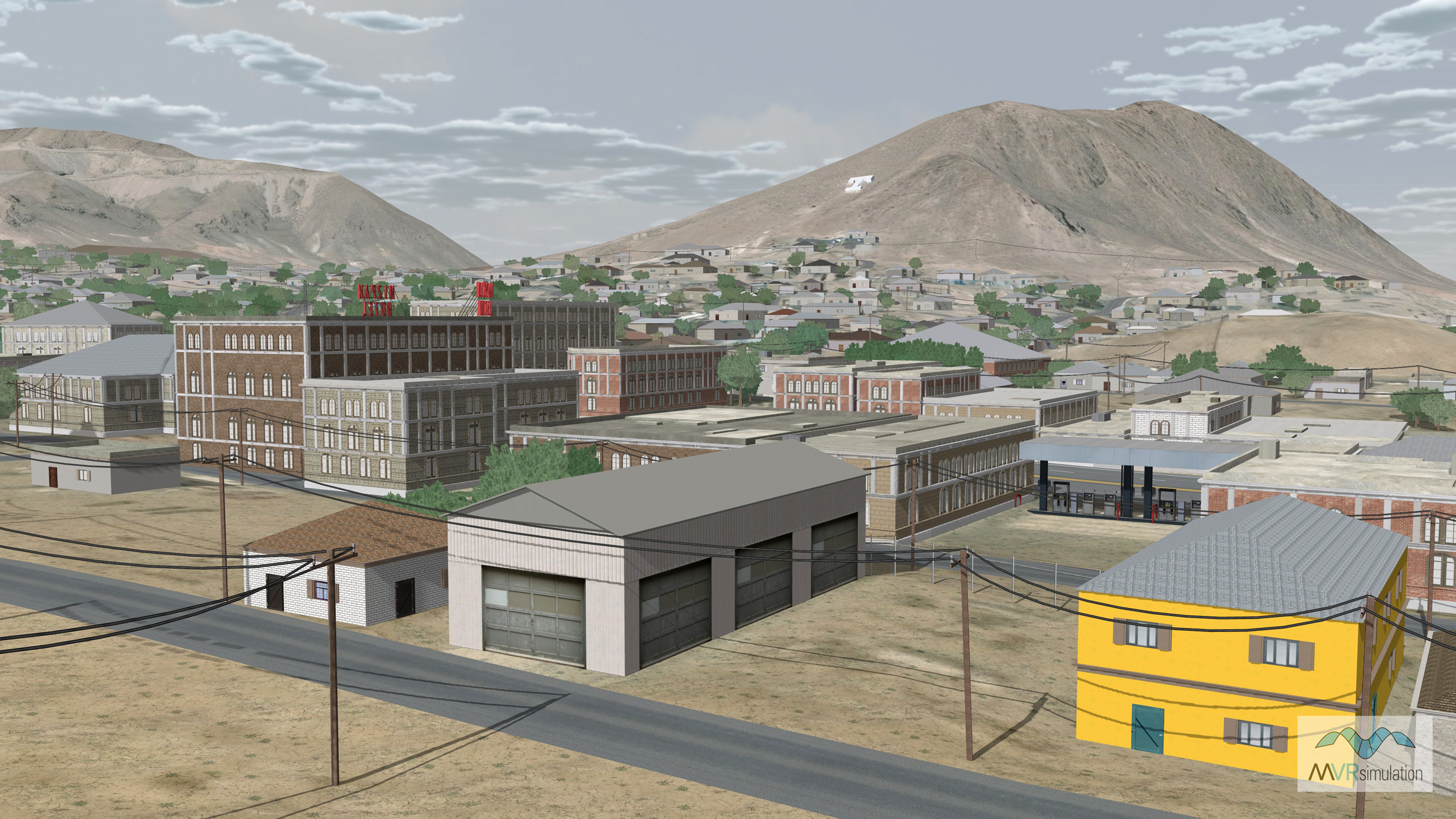
MVRsimulation VRSG real-time scene of the 3D virtual terrain of Tonopah, Nevada.
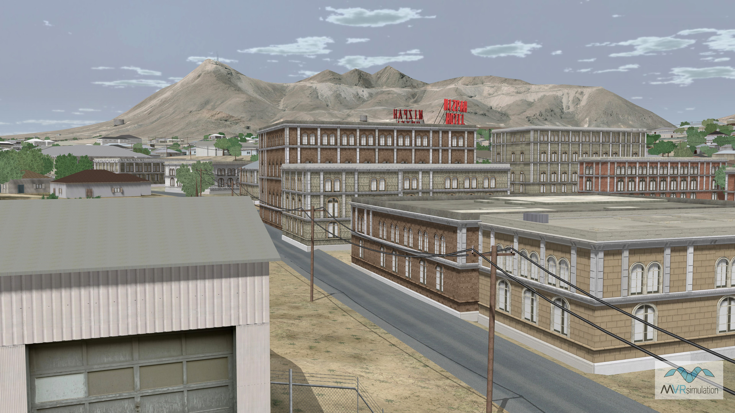
MVRsimulation VRSG real-time scene of the 3D virtual terrain of Tonopah, Nevada.
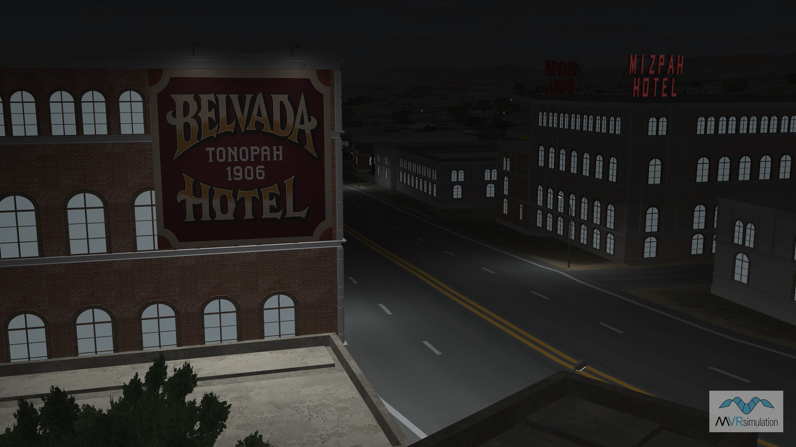
MVRsimulation VRSG real-time nighttime scene of the 3D virtual terrain of Tonopah, Nevada.
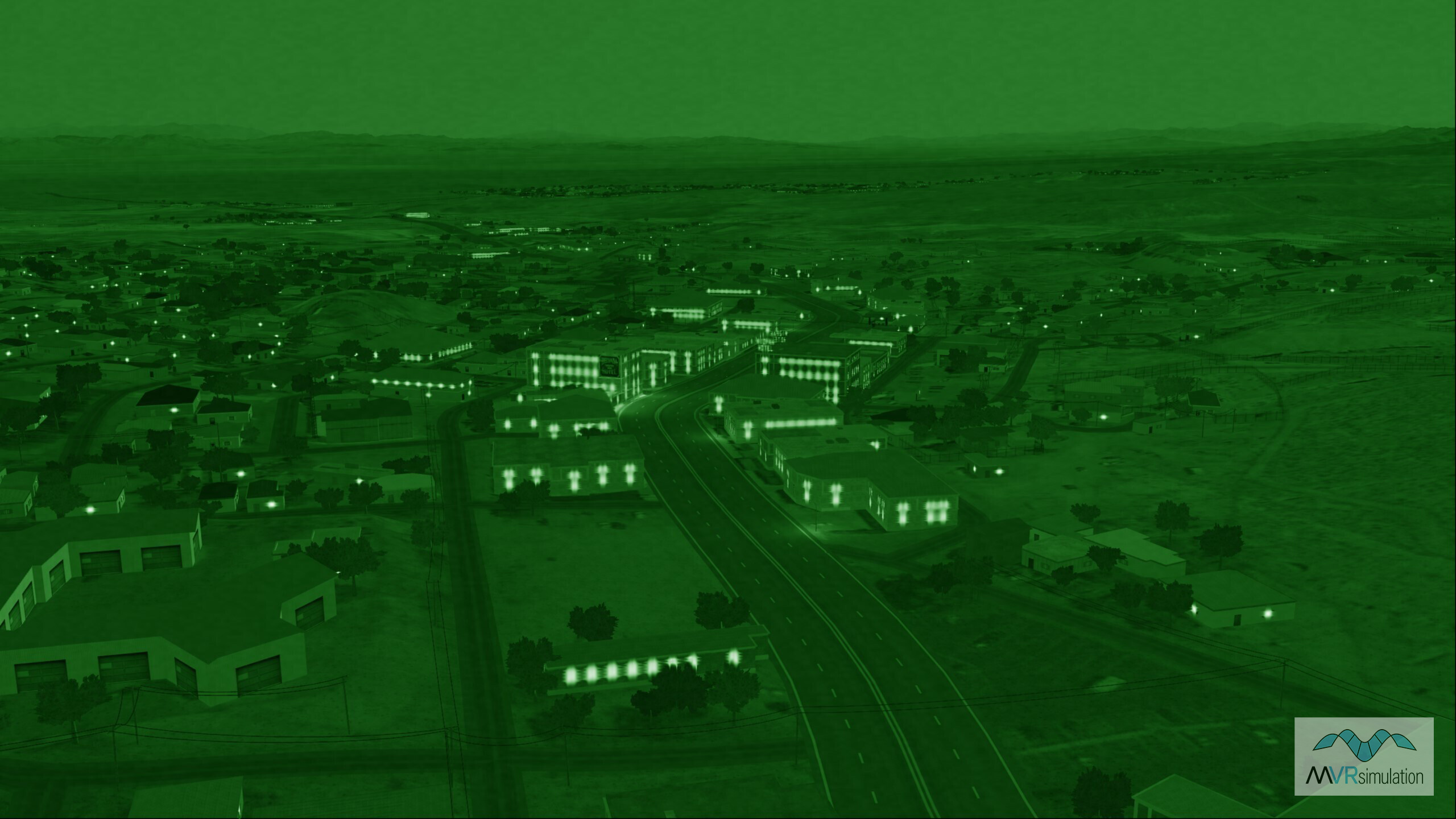
MVRsimulation VRSG real-time night-vision goggles (NVG) sensor view of Tonopah, Nevada, 3D terrain.
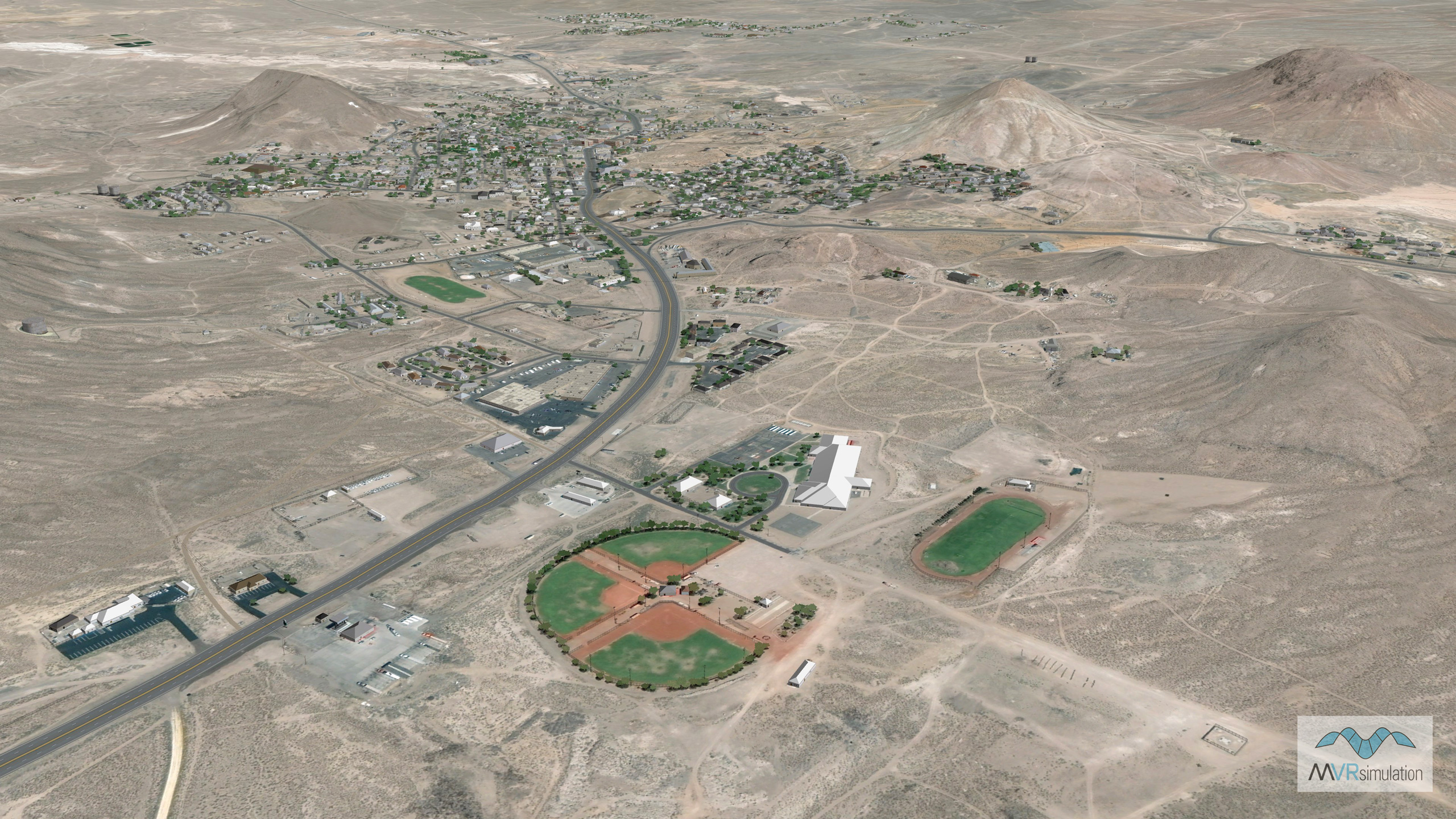
MVRsimulation VRSG real-time scene of the 3D virtual terrain of Tonopah, Nevada.
MVRsimulation VRSG real-time scene of the 3D virtual terrain of Tonopah, Nevada.