Aden, Yemen Terrain Database Information
- Imagery: 50cm high-resolution
- Elevation: 30m SRTM.
- Terrain Drive: Asia & Middle East
- Geospecific landmarks: Big Ben Aden, Aden Container Terminal
- Airfields: Aden International Airport (OYAA)
- Cultural features: Apron or Ramp Areas, CityEngine (Geotypical) Buildings, Control Tower, Cultural Landmarks (Statues and Monuments), Custom Models, Fences, Geospecific Bridge, Port/Bathymetric Data, Roads, Runway, Runway Lights, Taxiways and Associated Markings, Trees, Utility Poles, Powerlines or Transmission Lines, Water Features (Lakes, Rivers, etc), Water Tanks/Towers.
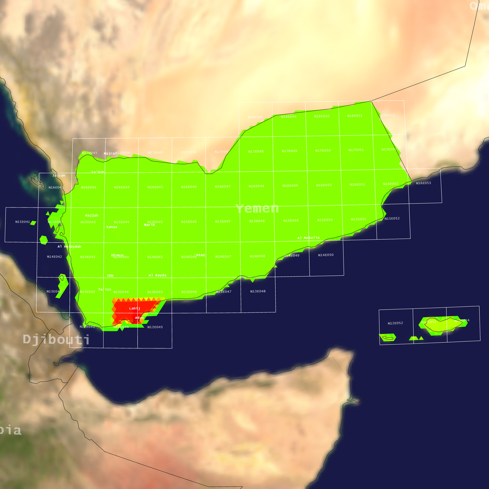
Tile Coverage Map
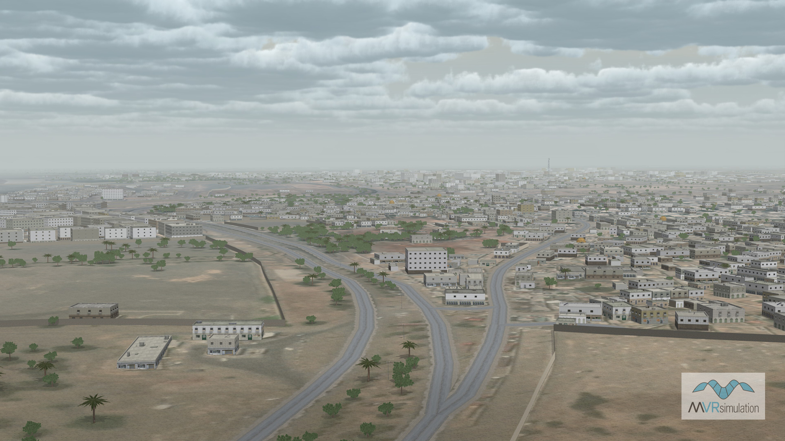
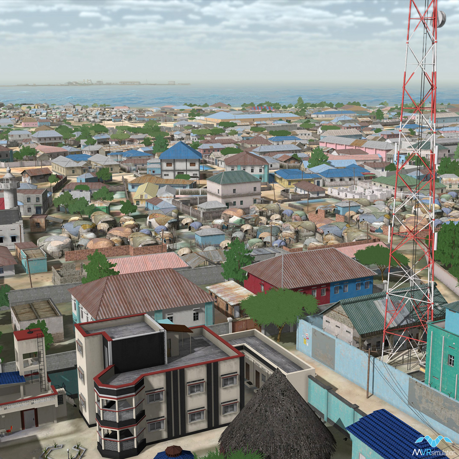
Aden, Yemen, residential VRSG scene with inlaid road microtectures.
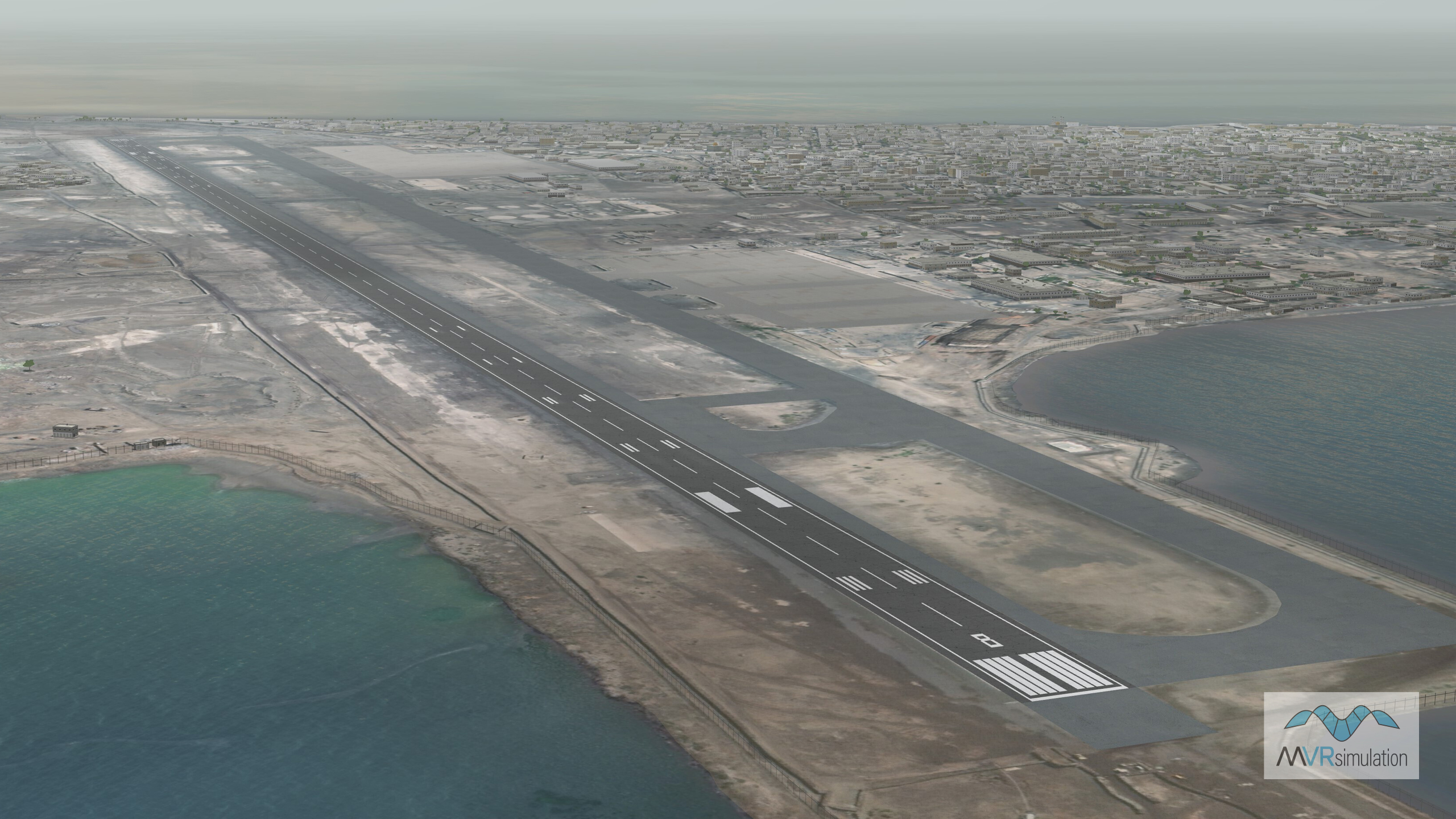
VRSG real-time scene of 2D runway at Aden International Airport.
VRSG real-time scene of compiled roads and geotypical CityEngine buildings in Aden, Yemen.
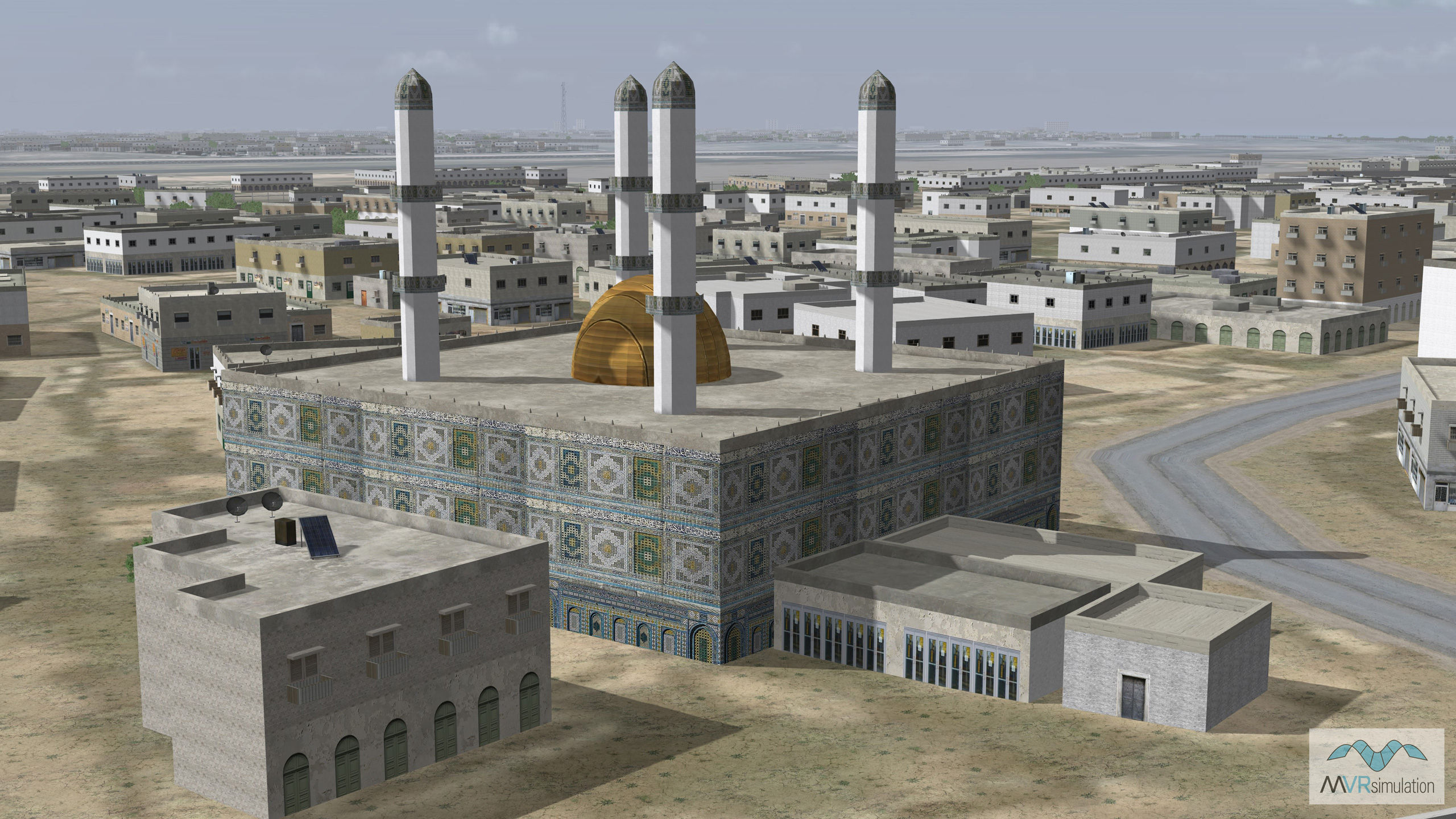
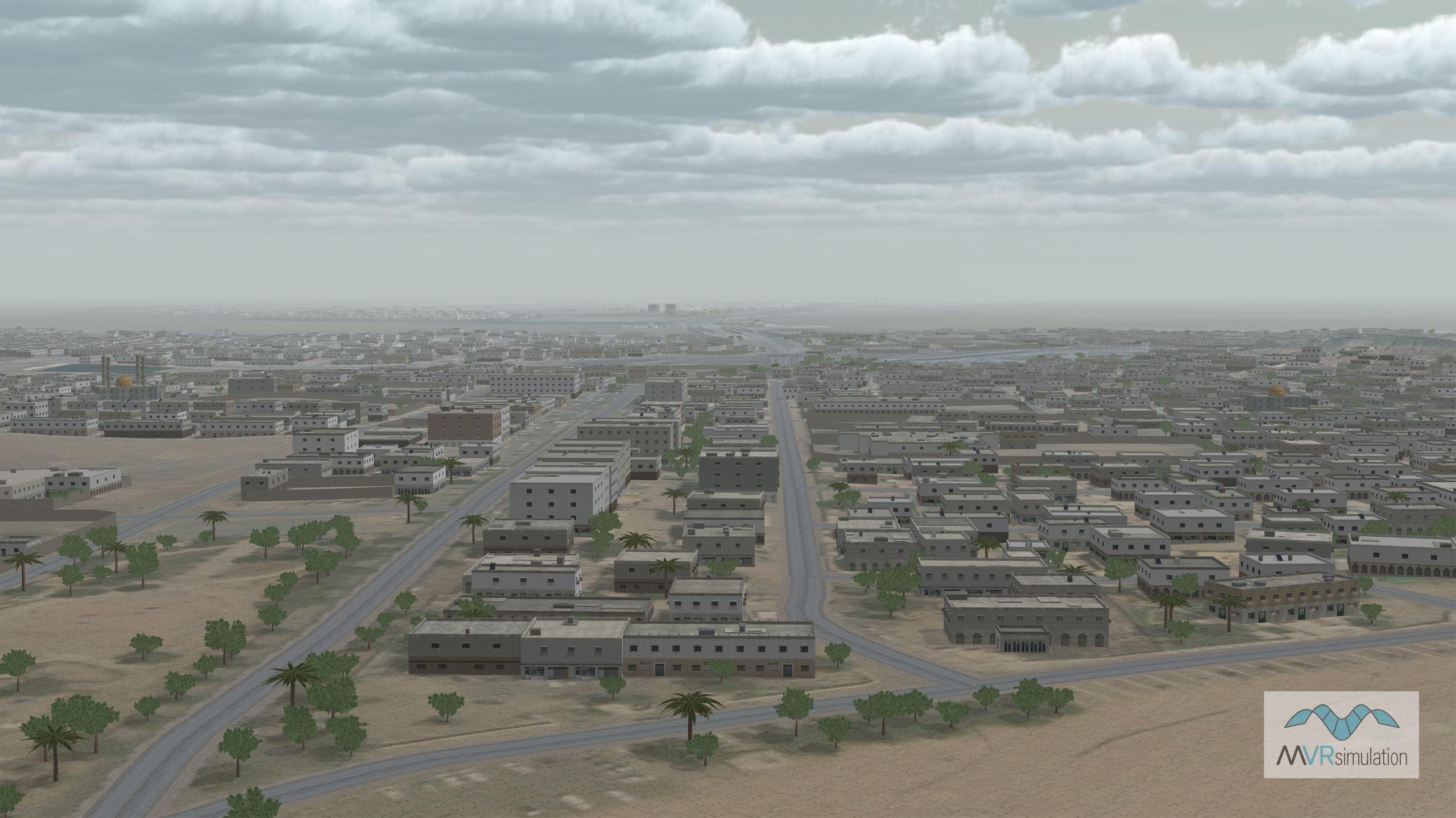
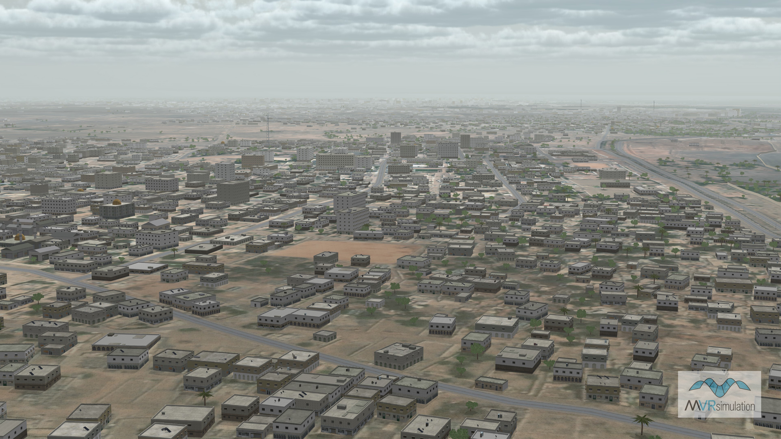
VRSG real-time scene of Aden, Yemen.
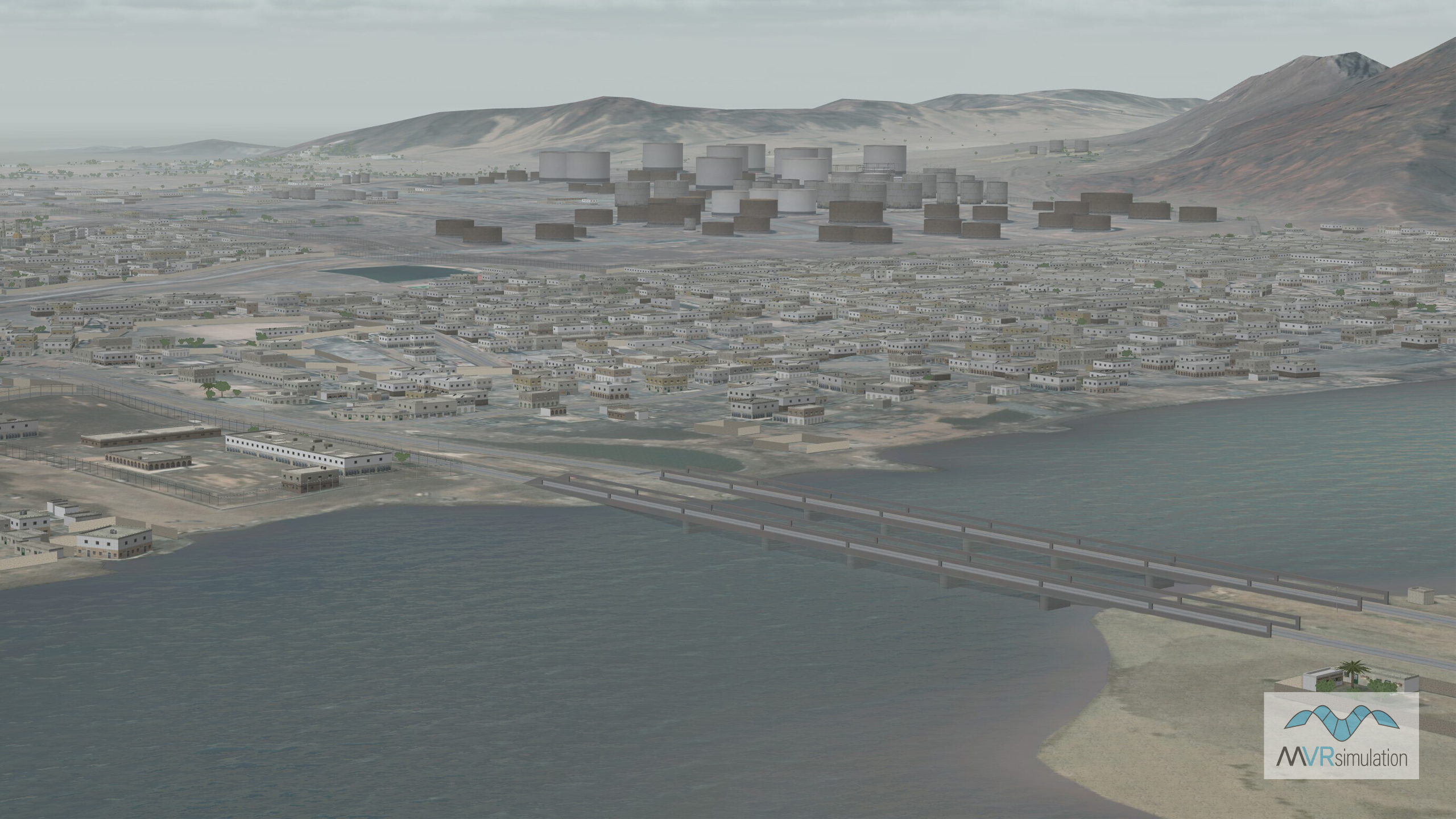
Bridges connecting mainland Aden to Little Aden with geotypical oil tanks in the background.
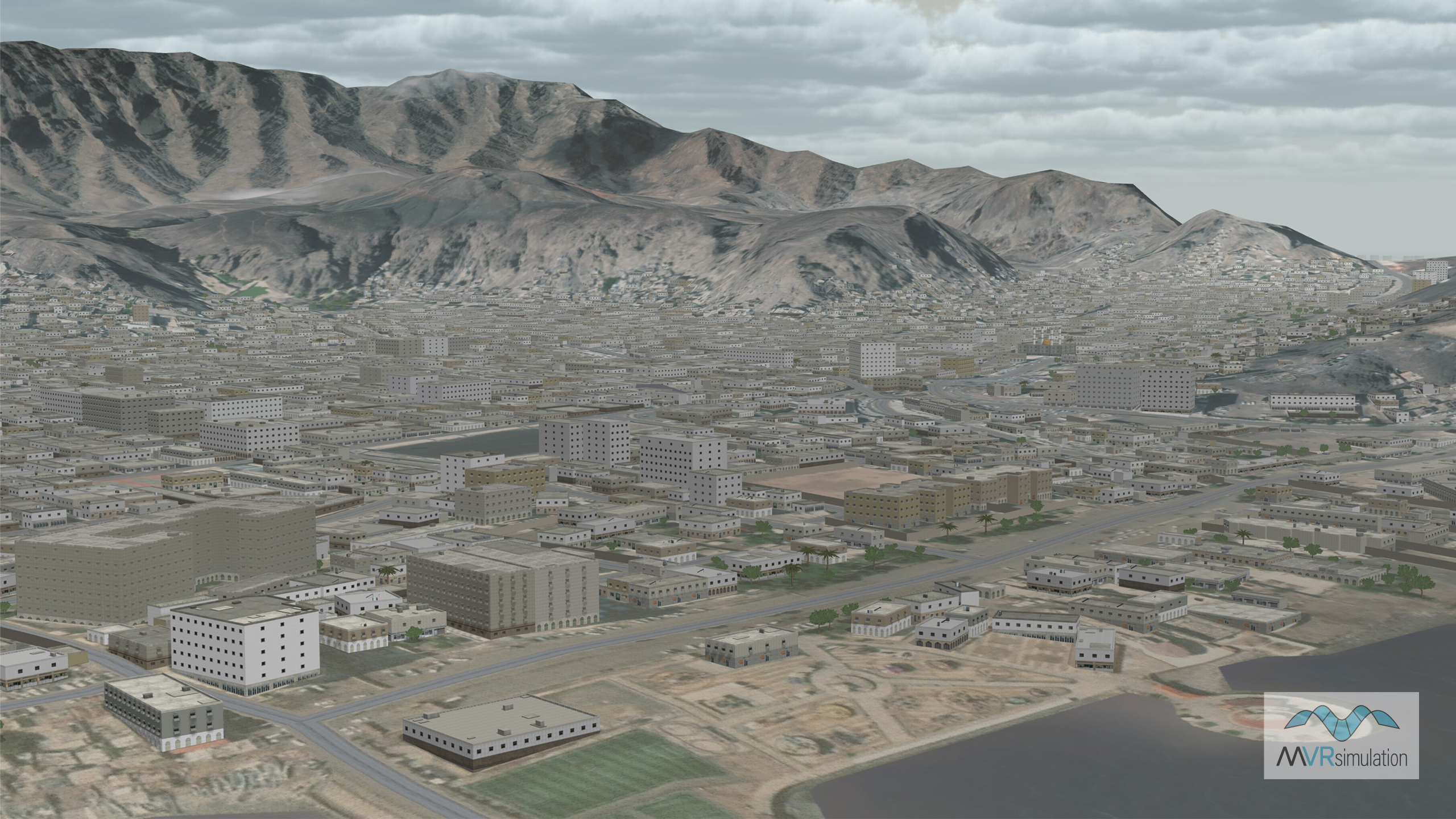
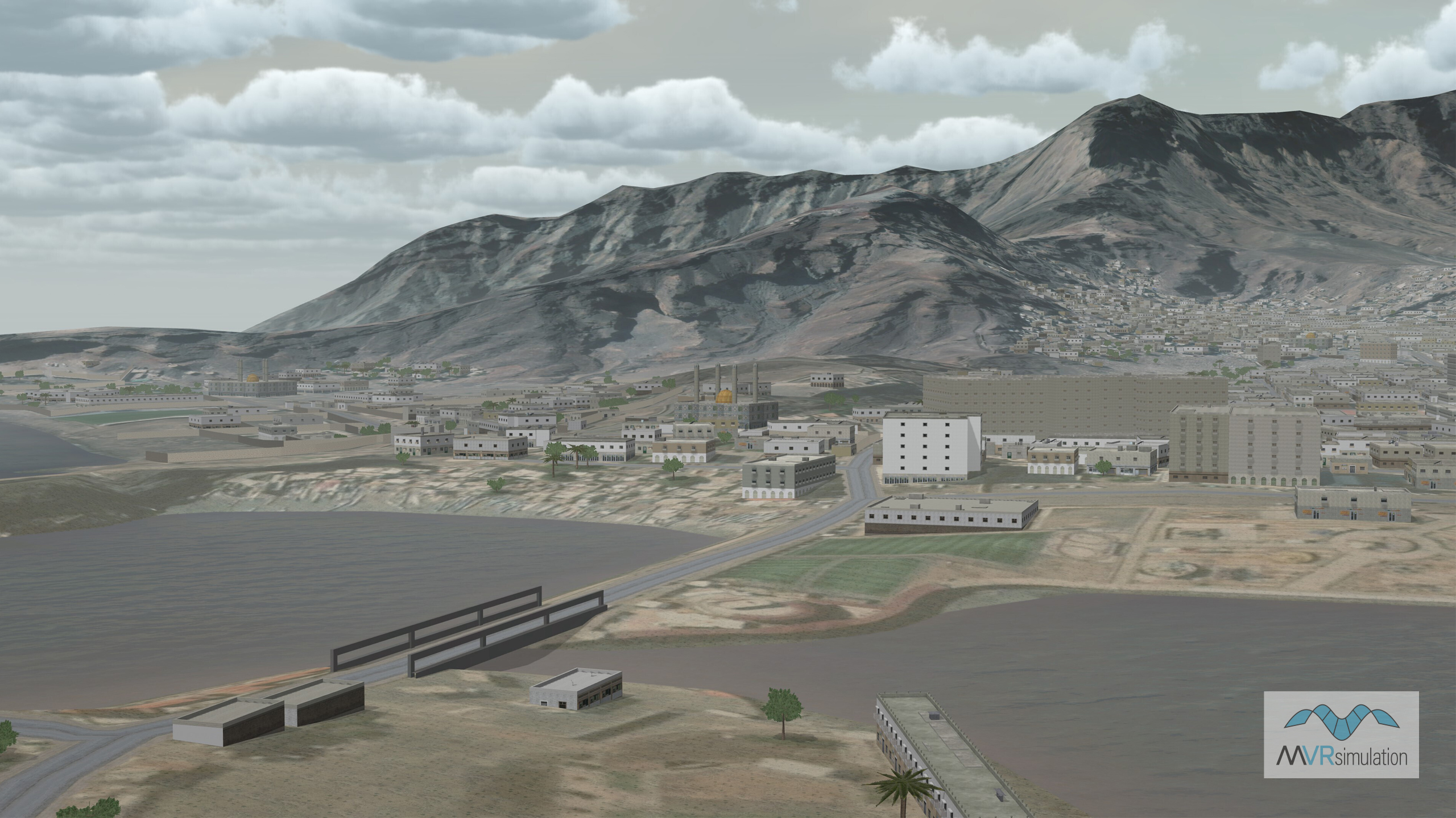
Port City of Aden, Yemen, with the Sarawat Mountains in the background.