Japan Terrain Database Information
- Imagery: 1m
- Elevation: SRTM 30
- Terrain Drive: Asia & Middle East
- Source for Elevation Data: Geospatial Information Authority of Japan, referred to as "GSI tiles." Details on tile sources can be found on the GSI tile list page.
- Cultural Features: Trees
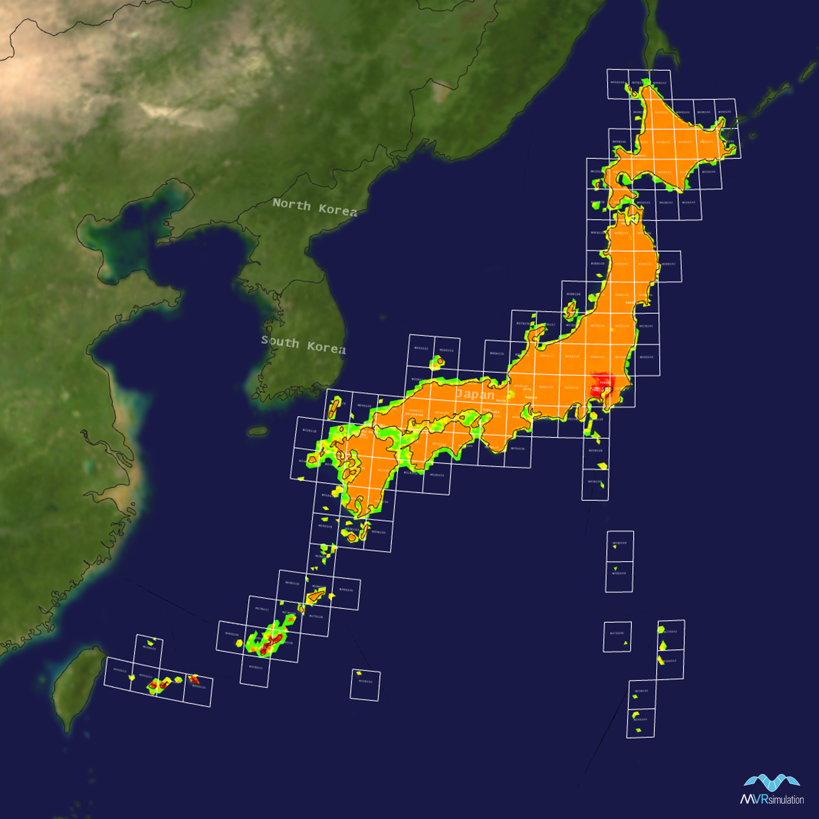
Tile Coverage Map
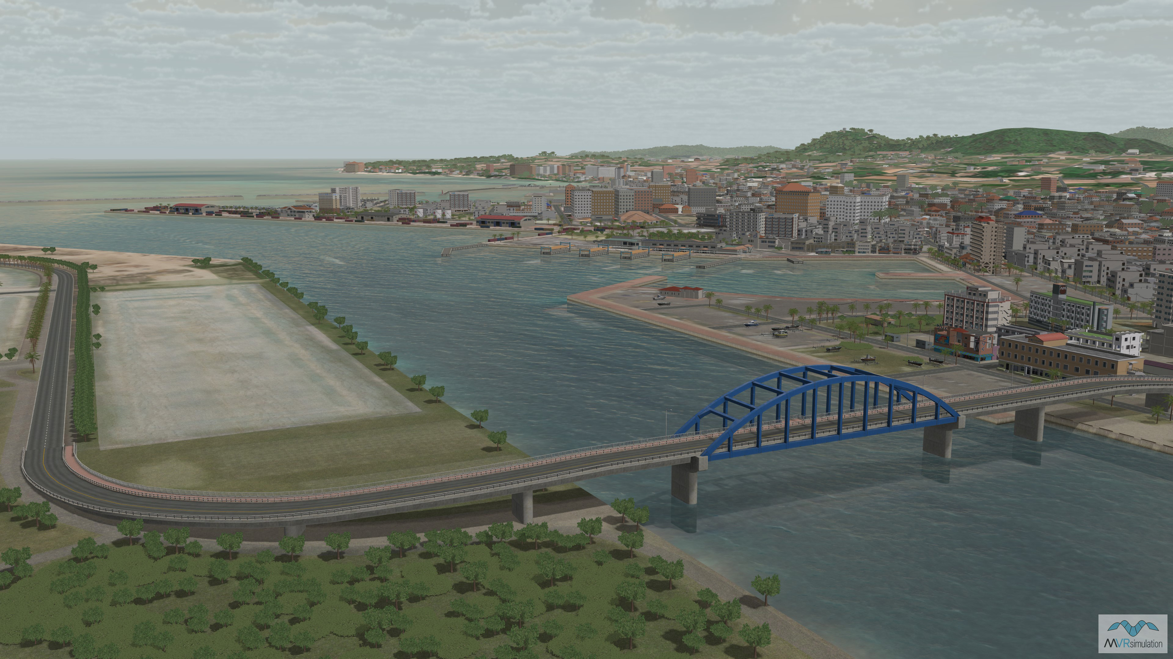
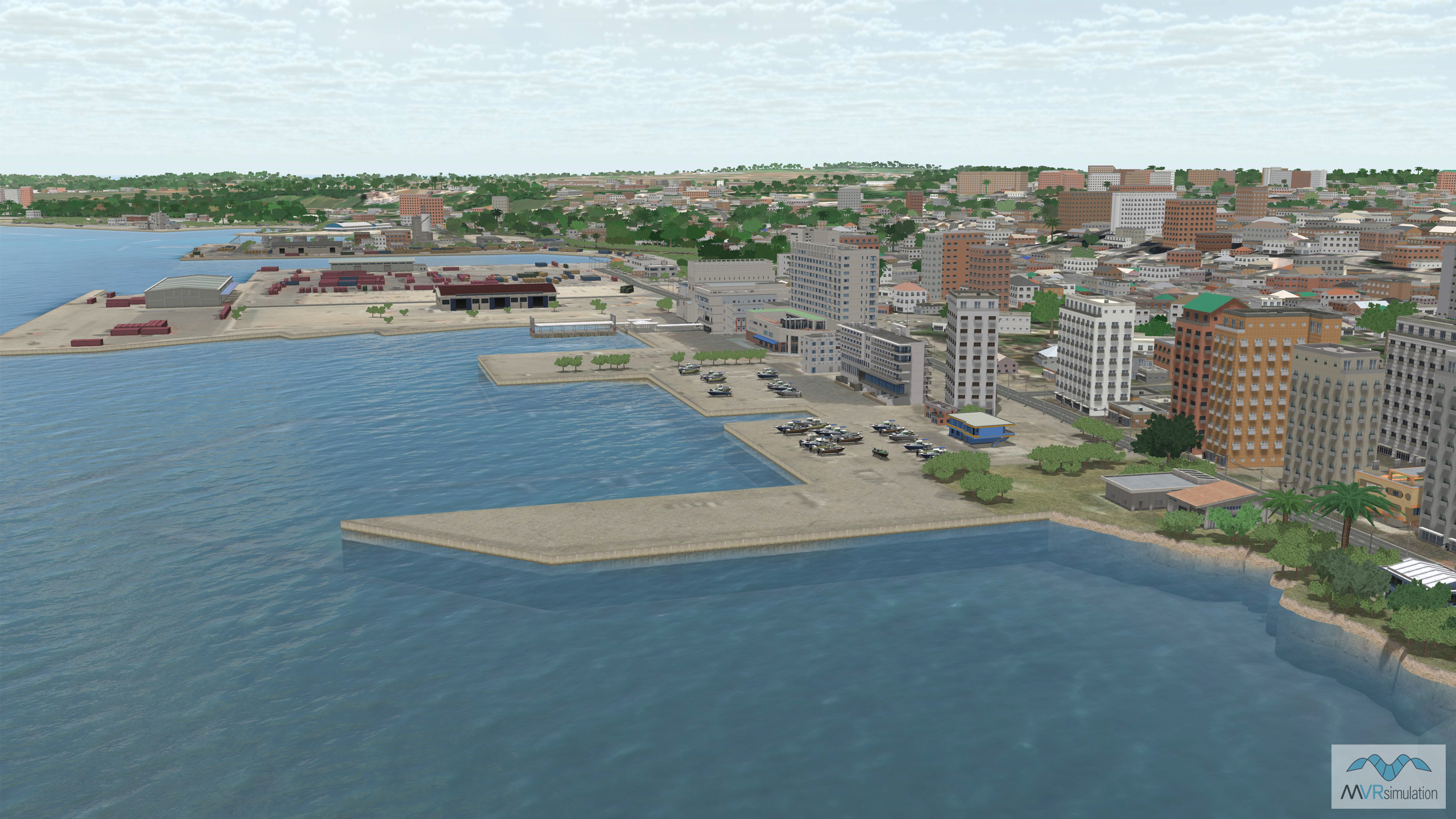
3D Modeled & High-resolution Areas of Interest
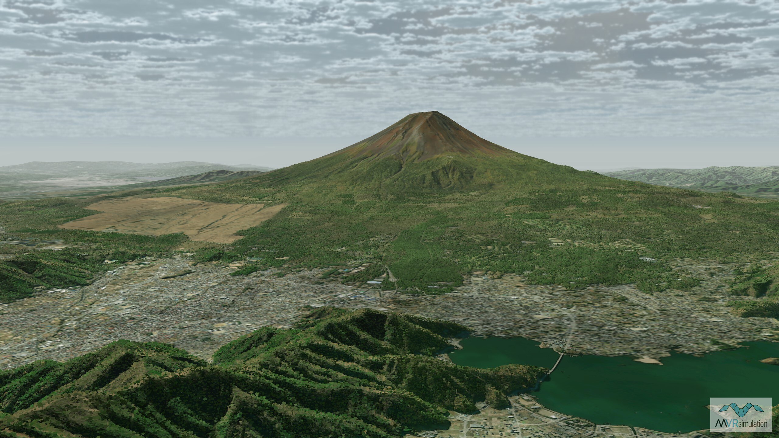
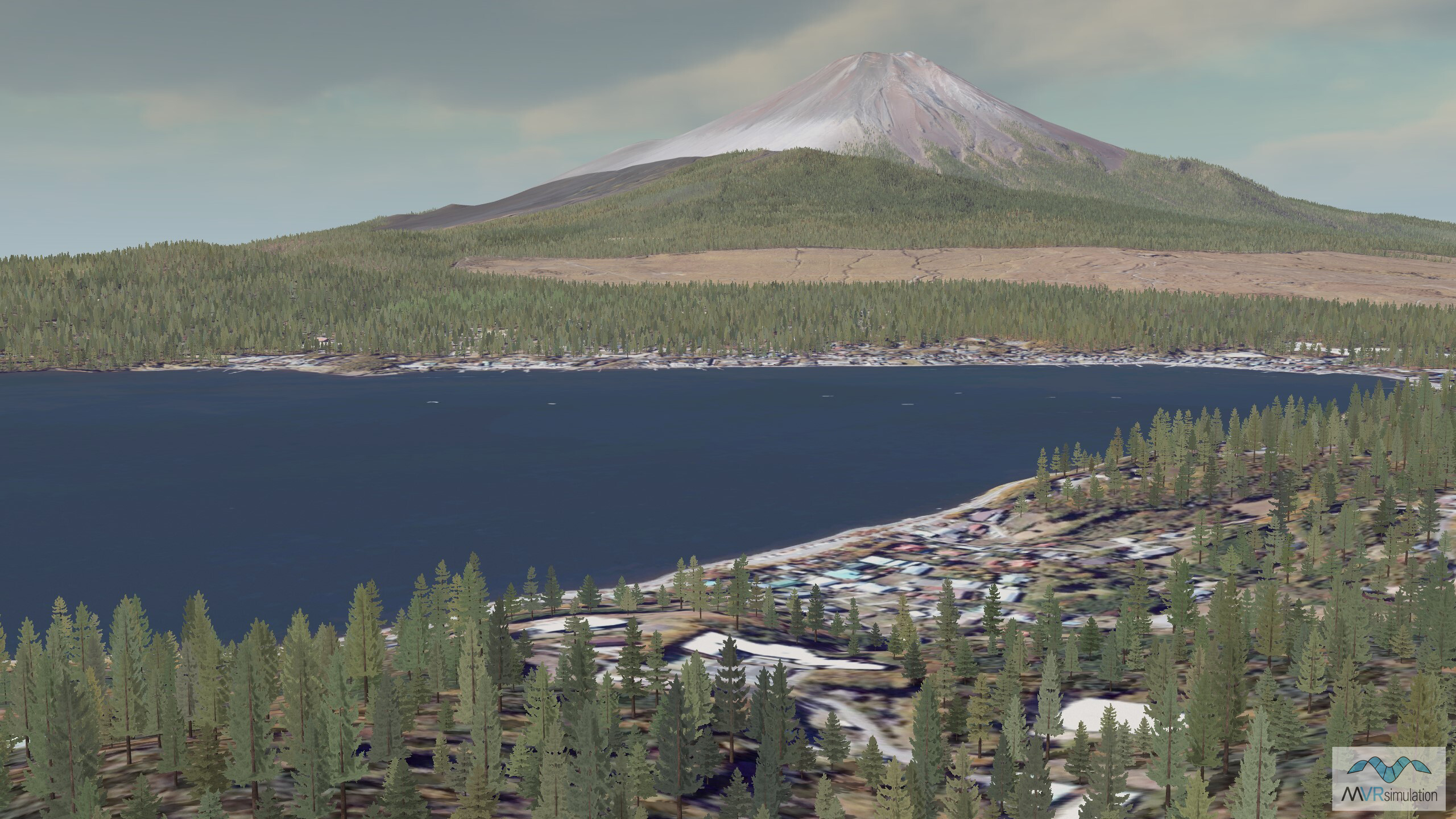
Mount Fuji is part of the Japan terrain database.
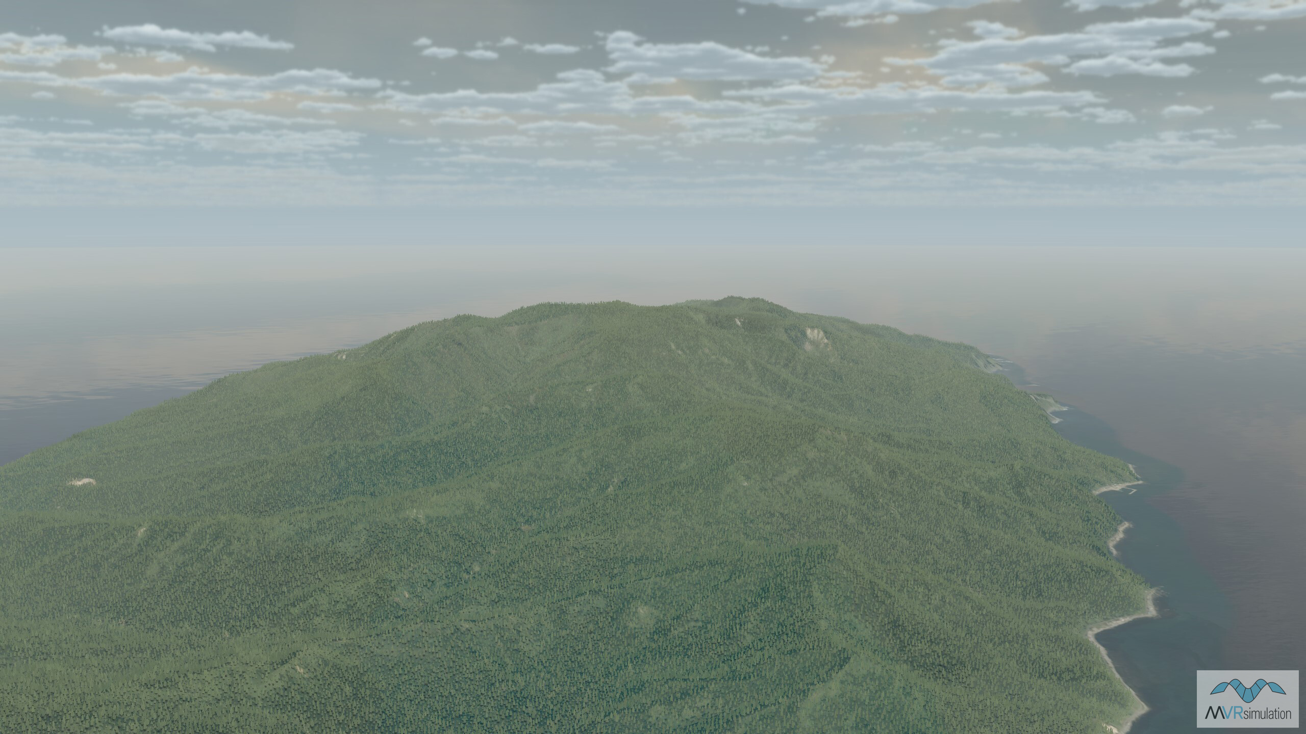
Near the town of Nemuro, on the easternmost tip of Hokkaido. Part of VRSG's Japan terrain.
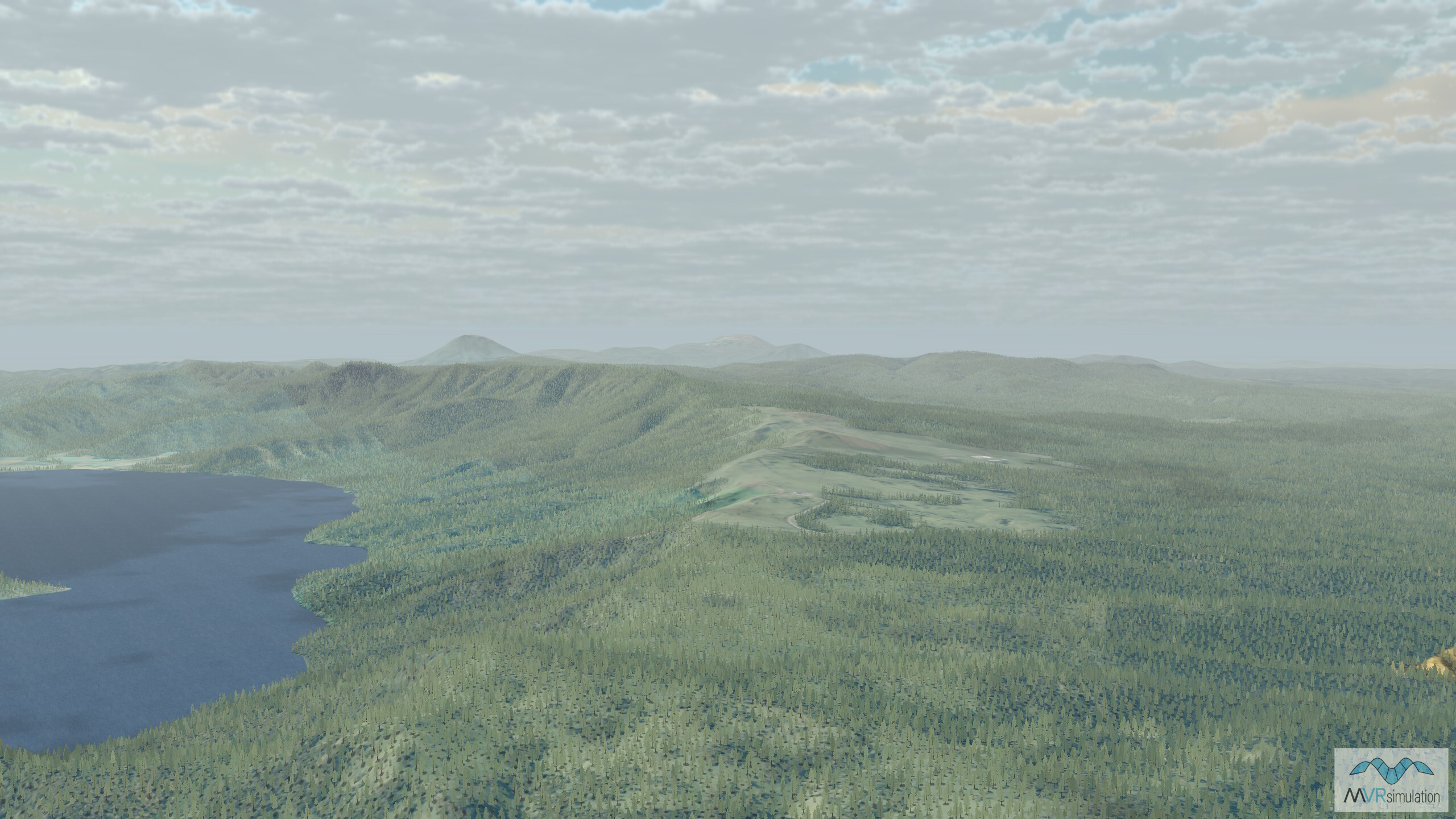
Near Kushiro, a city in eastern Hokkaido. The area is known for the Kushiro Shitsugen National Park, which features expansive wetlands and diverse wildlife.
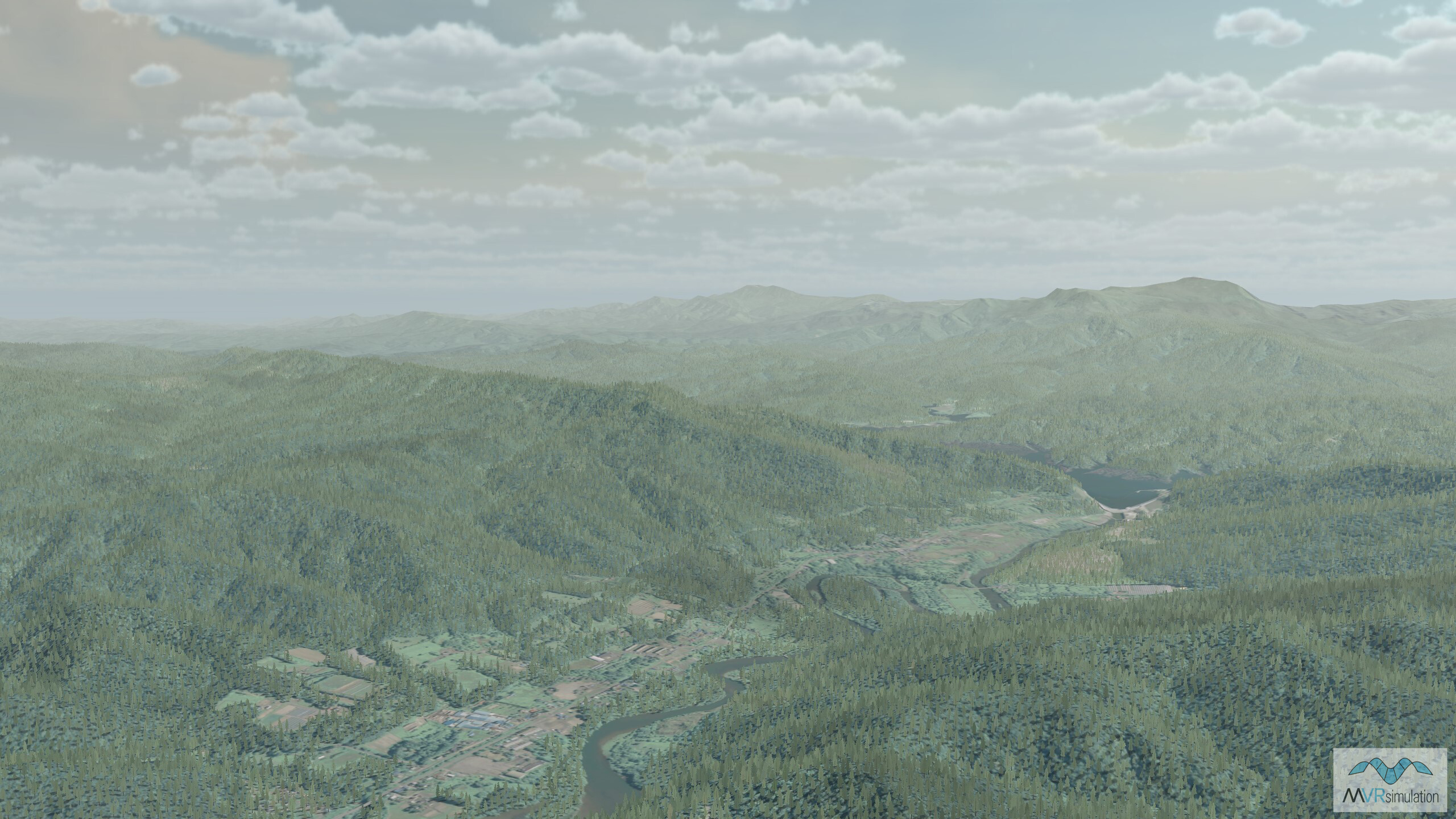
Hokkaido, the northernmost of Japan’s main islands.
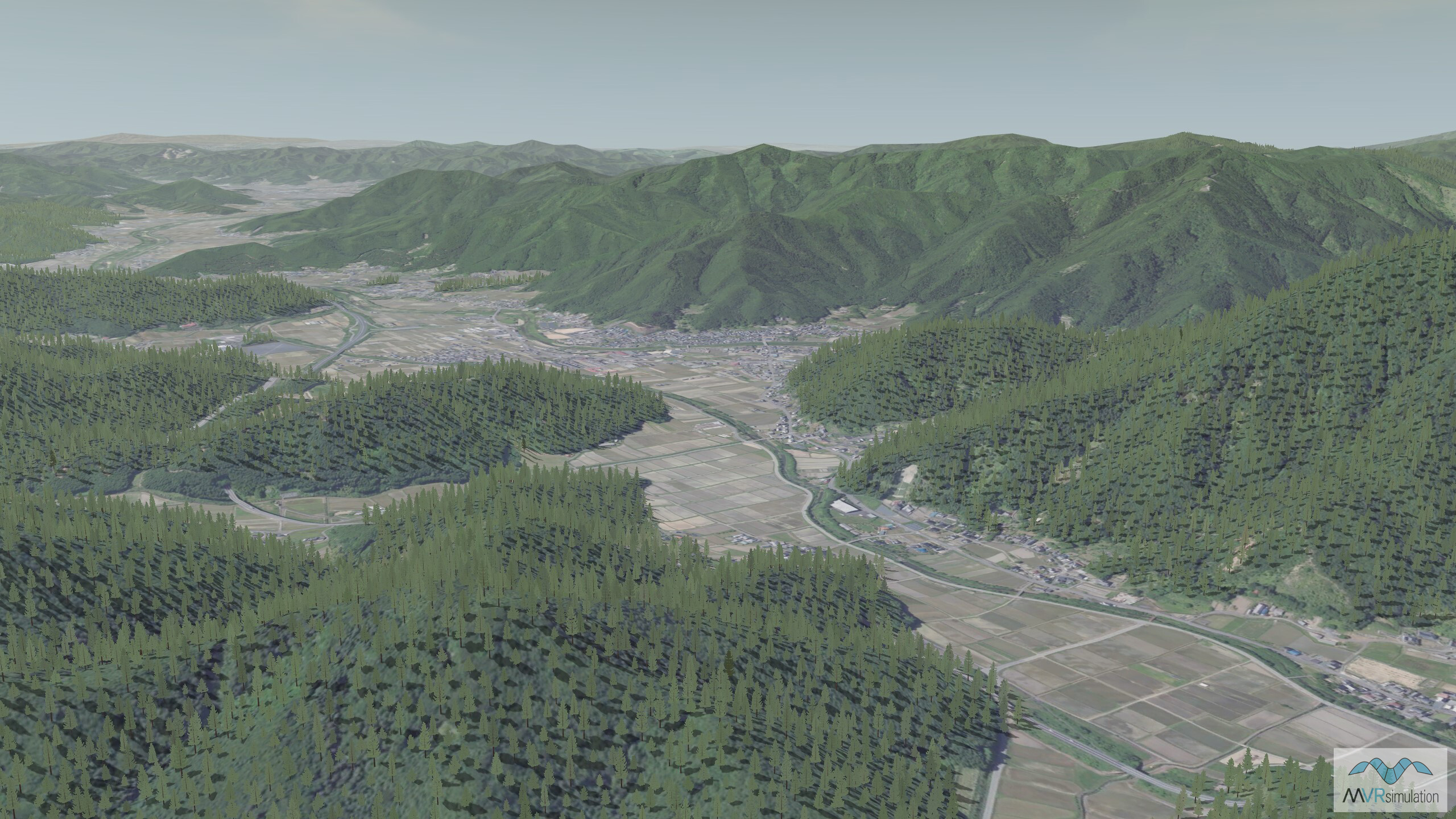
Near the city of Kyoto in the Kansai region of Japan.
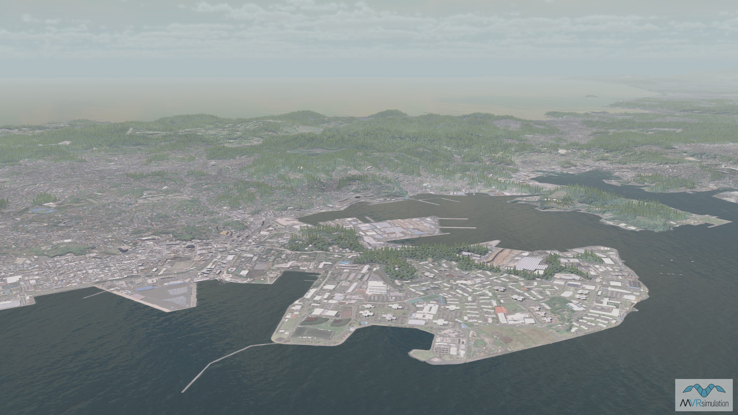
Yokosuka, a city located in the Greater Tokyo Area.

