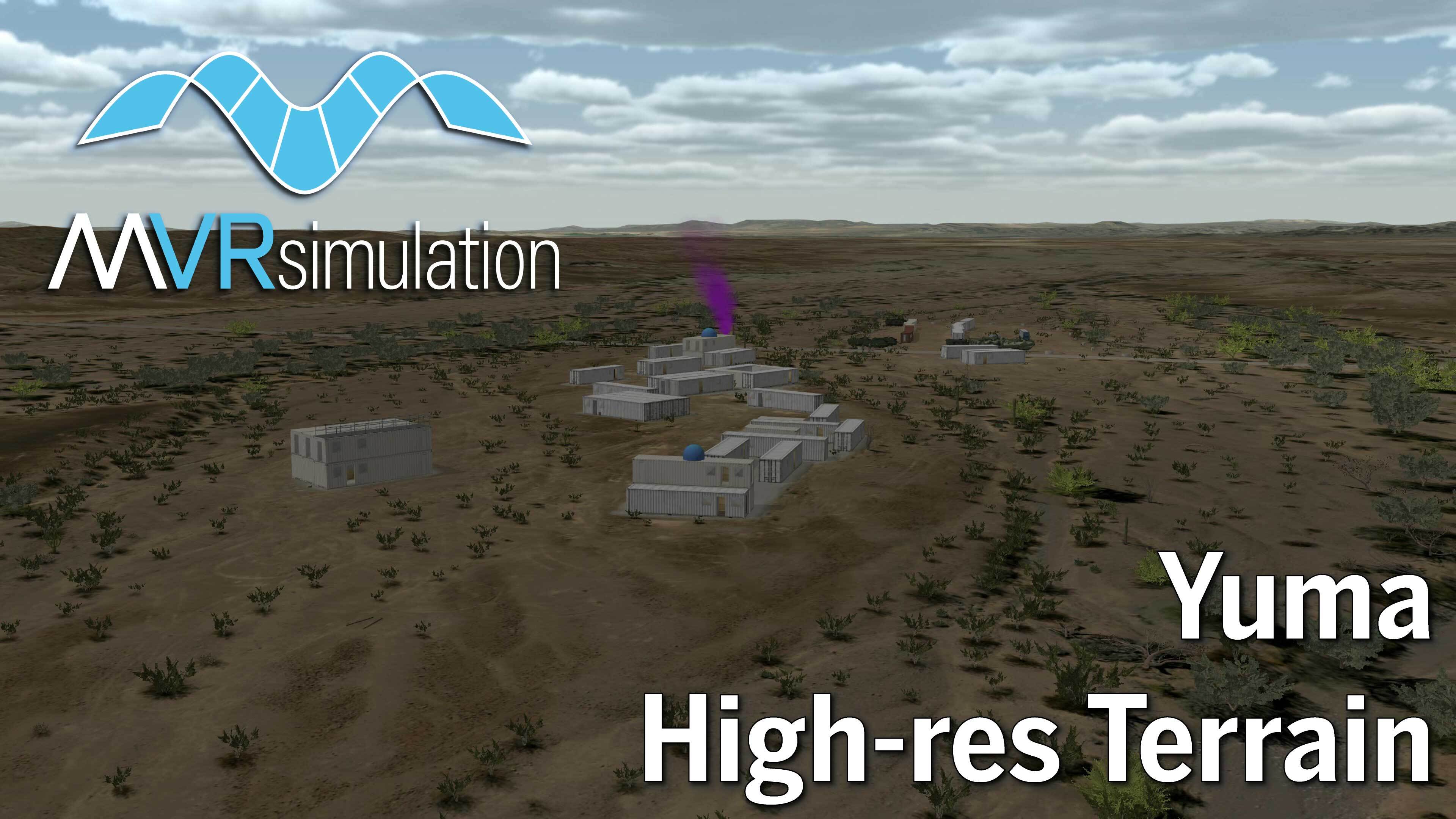
MVRsimulation has built geospecific 2 cm per-pixel resolution 3D terrain of the Prospect Square area of the U.S. Army Yuma Proving Ground (YPG), Arizona. The terrain imagery was captured by MVRsimulation's small UAS for imagery data collection. The collected imagery was orthorectified and used for building the 3D terrain for rendering in VRSG. The 2 cm resolution 3D terrain is combined with NED 10 meter elevation data and blended with the surrounding CONUS NAIP terrain: 1-meter per-pixel (mpp) National Agriculture Imagery Program (NAIP) imagery. The terrain was built in MVRsimulation's round-earth VRSG terrain architecture with Terrain Tools for ArcGIS® Pro.
Situated in southwestern Arizona, near the Arizona-California border in the Sonoran Desert, YPG is one of the largest military installations in the world, spanning 1,307.8 mi². This multiple purpose test facility is part of the U.S. Army Test and Evaluation Command. Apart from the U.S., ten other nations use YPG for testing. Specific proving ground capabilities include testing of: artillery, mortars, mines, ground and aircraft weapons, target acquisition and fire control systems, wheeled and tracked vehicles, and air delivery material, equipment, and techniques. The facility also contains a military reservation where weapon systems and military technology are tested.
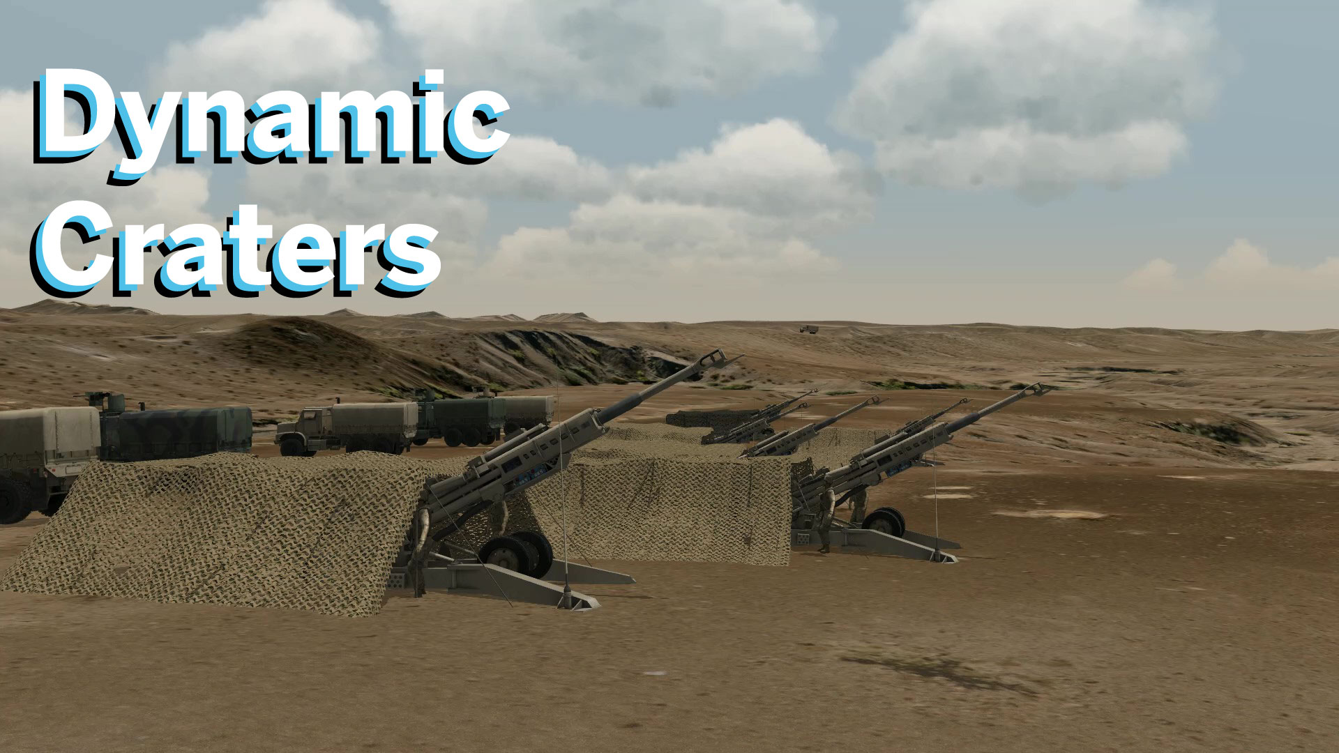
MVRsimulation's Yuma Proving Ground 3D terrain database includes areas of interest including a replica Military Operations on Urban Terrain (MOUT) site, virtual Laguna Army Airfield, helicopter pad and other static 3D models to support virtual training needs. The 3D terrain also has examples of 3D craters from munition blasts. Samples of these features can be seen in MVRsimulation's real-time scenarios in VRSG.
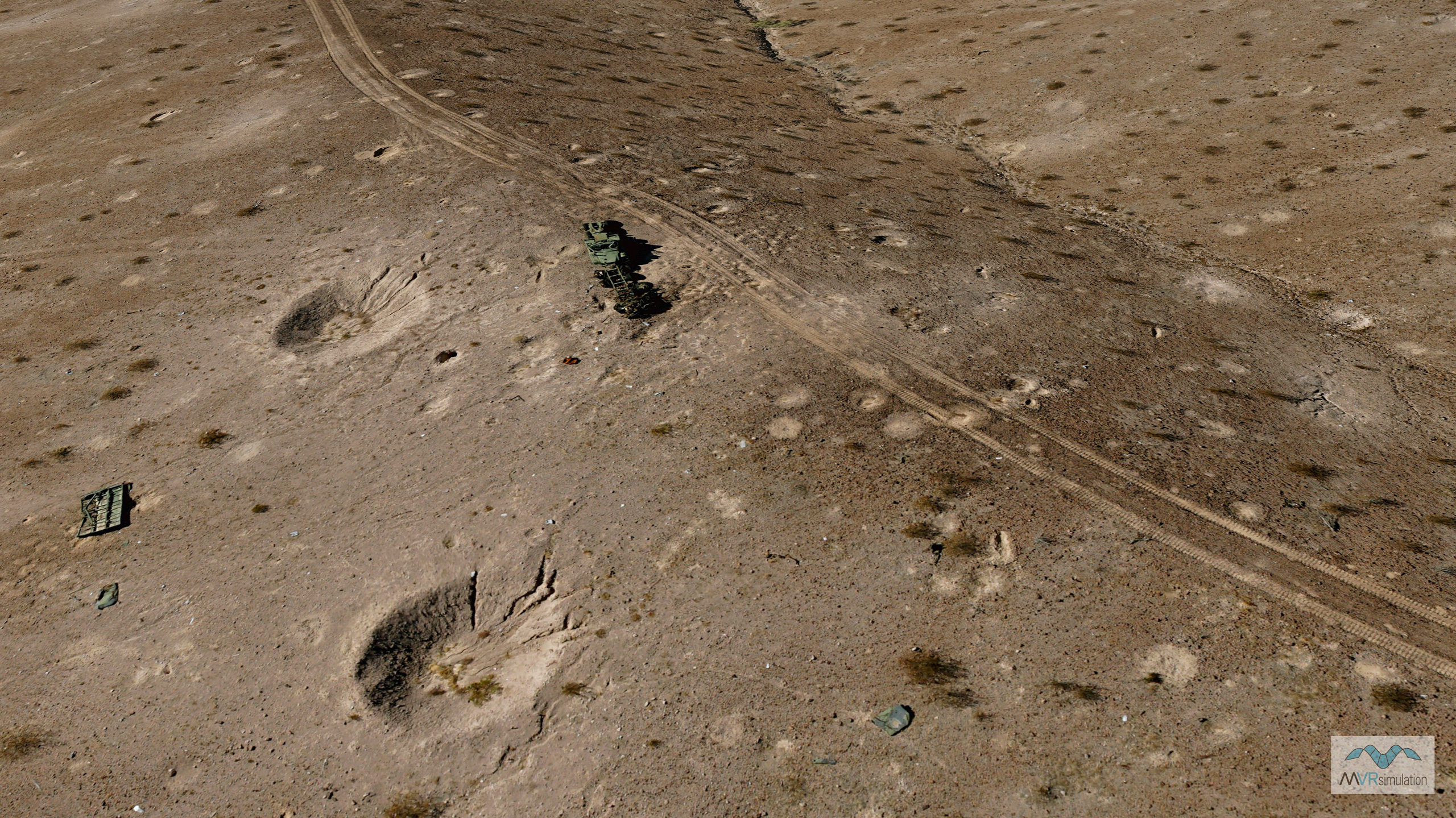
VRSG 3D terrain with 2 cm per pixel resolution imagery of the Prospect Square area of the Yuma Proving Ground with 3D craters.
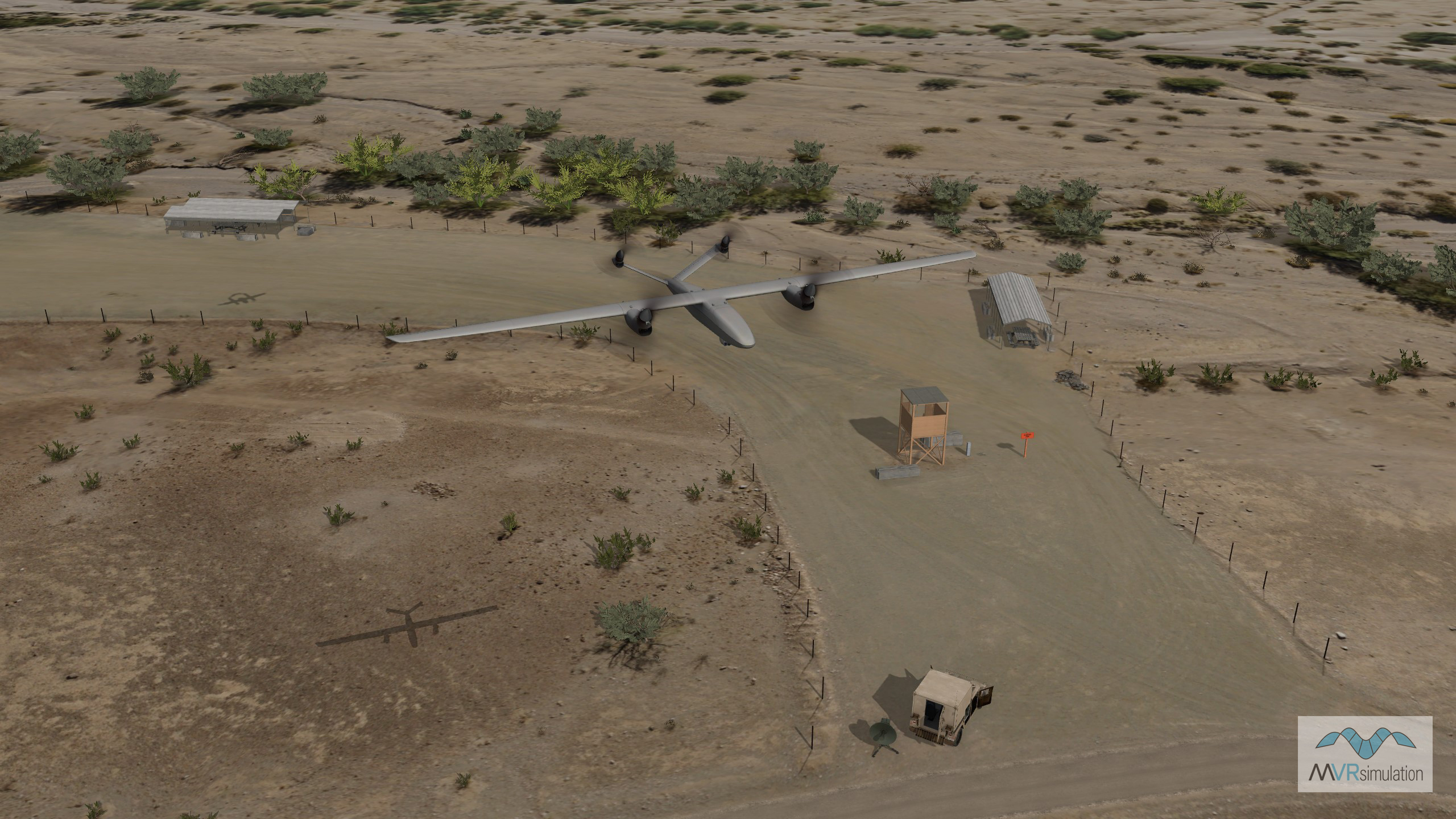
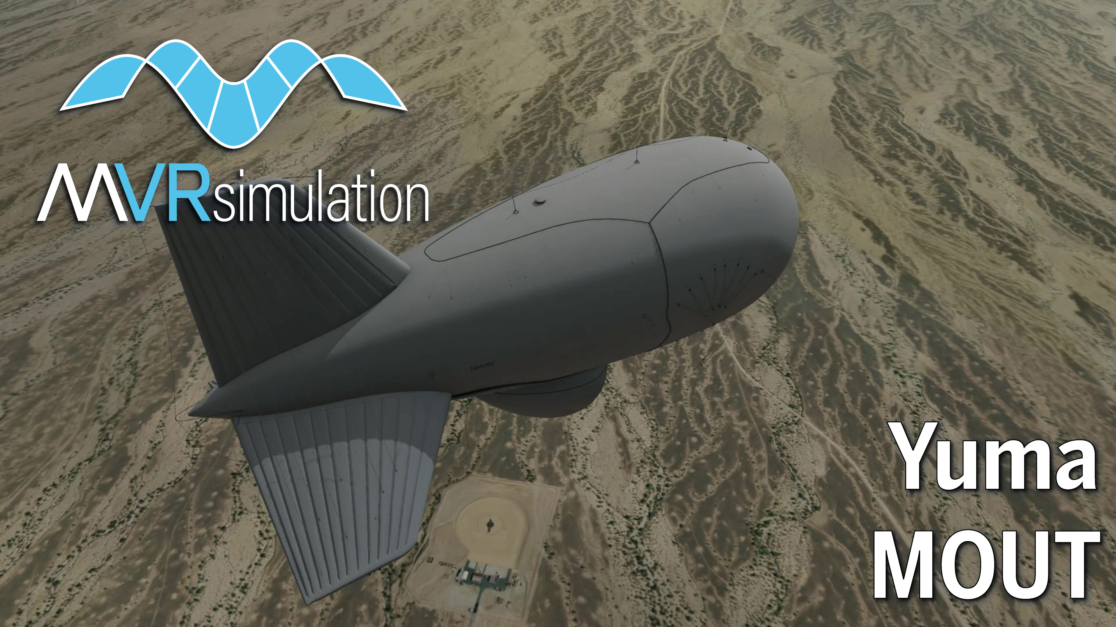
MVRsimulation VRSG 3D model of the Valiant future tactical uncrewed aircraft system in flight over the Yuma Proving Ground helipad.
SOTACC Village MOUT Site
The Yuma Proving Ground terrain database includes a virtual twin of the Special Operations Terminal Attack Controller Course (SOTACC) training facility. The virtual MOUT site, built from 30 cm per-pixel imagery and 2 meter per-post elevation data, contains mobile storage containers (many with modeled interiors), fortifications, retired/stored equipment, and other elements from MVRsimulation’s 3D content libraries geolocated from aerial imagery references on the terrain.
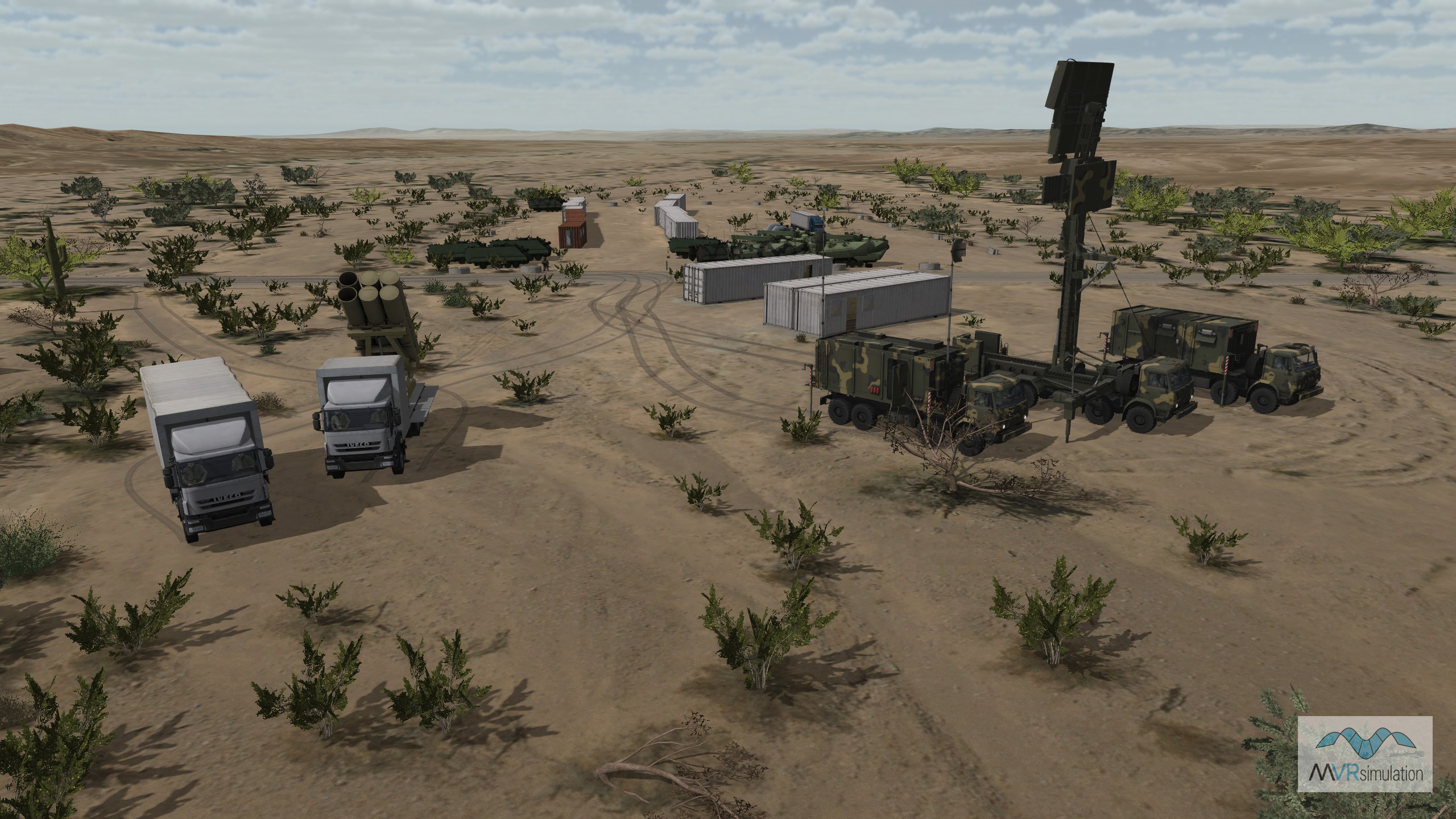
Real-time image of a VRSG scenario at the SOTACC Village MOUT site including wheel tracks of the platforms visible in the terrain.
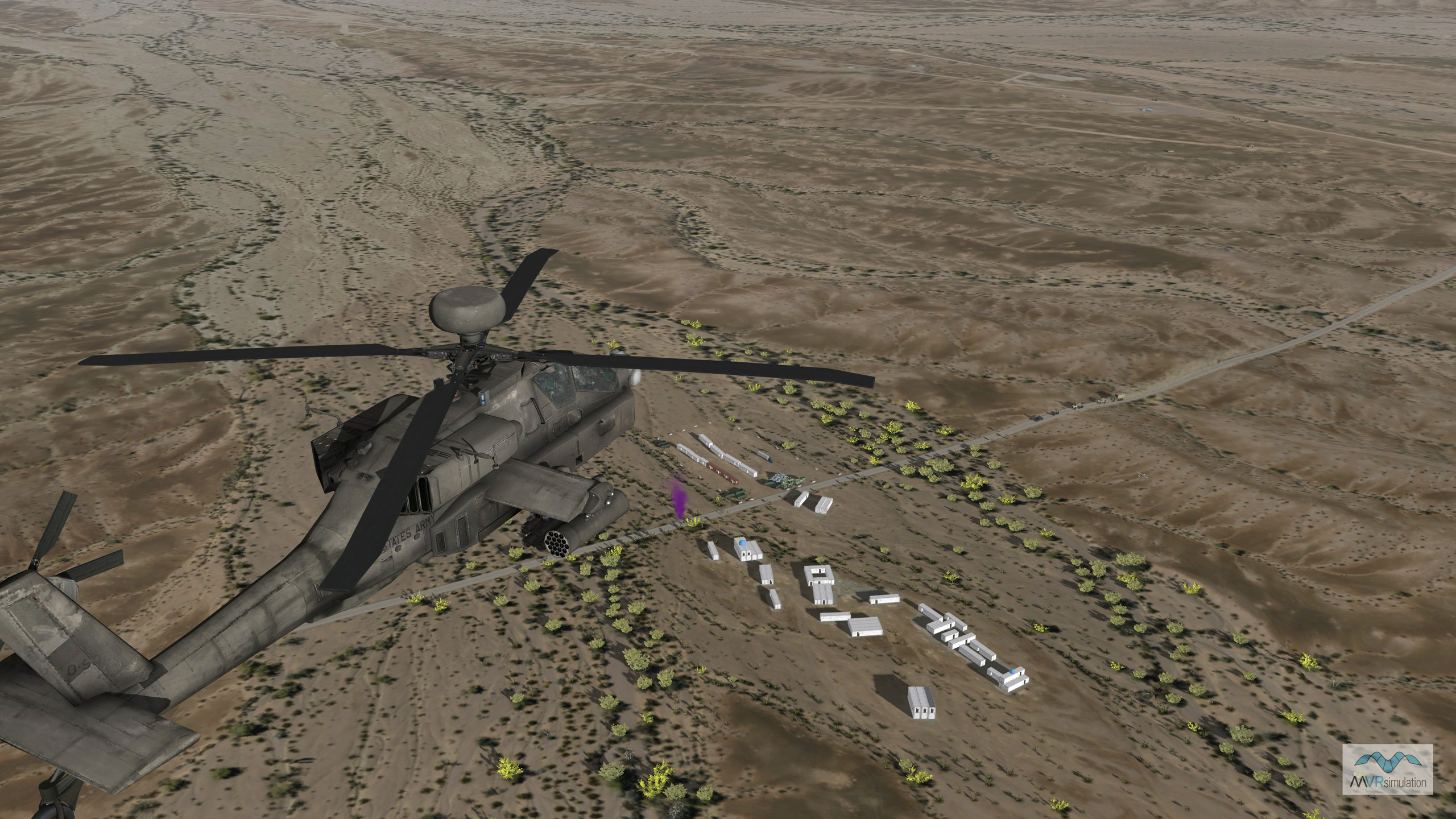
VRSG real-time scenario with an AH-64E entity in flight over the virtual SOTACC Village MOUT site with smoke signal visible.
Laguna Army Airfield (KLGF)
The Laguna Army Airfield (KLGF) was build as part of the MVRsimulation's Yuma Proving Ground 3D terrain database. The airfield includes 30 cm per-pixel imagery combined with NED 10 meter elevation data and blended into the surrounding 1 mpp CONUS NAIP imagery. Cultural features of the airfield include runway, runway lights, runway signs, geotypical hangars and buildings.
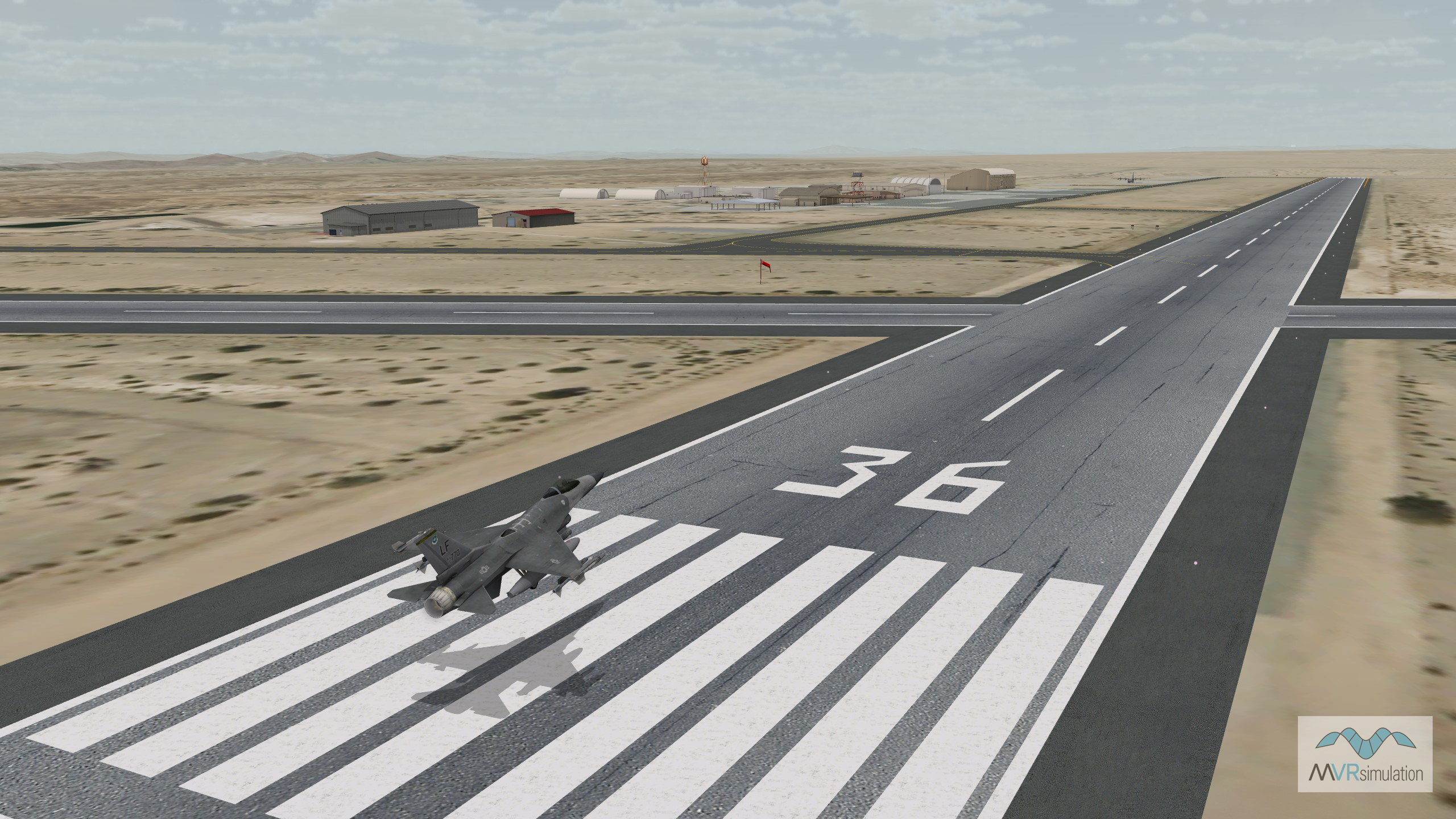
Virtual Laguna Army Airfield runway with F-16 at the Yuma Proving Ground, AZ.
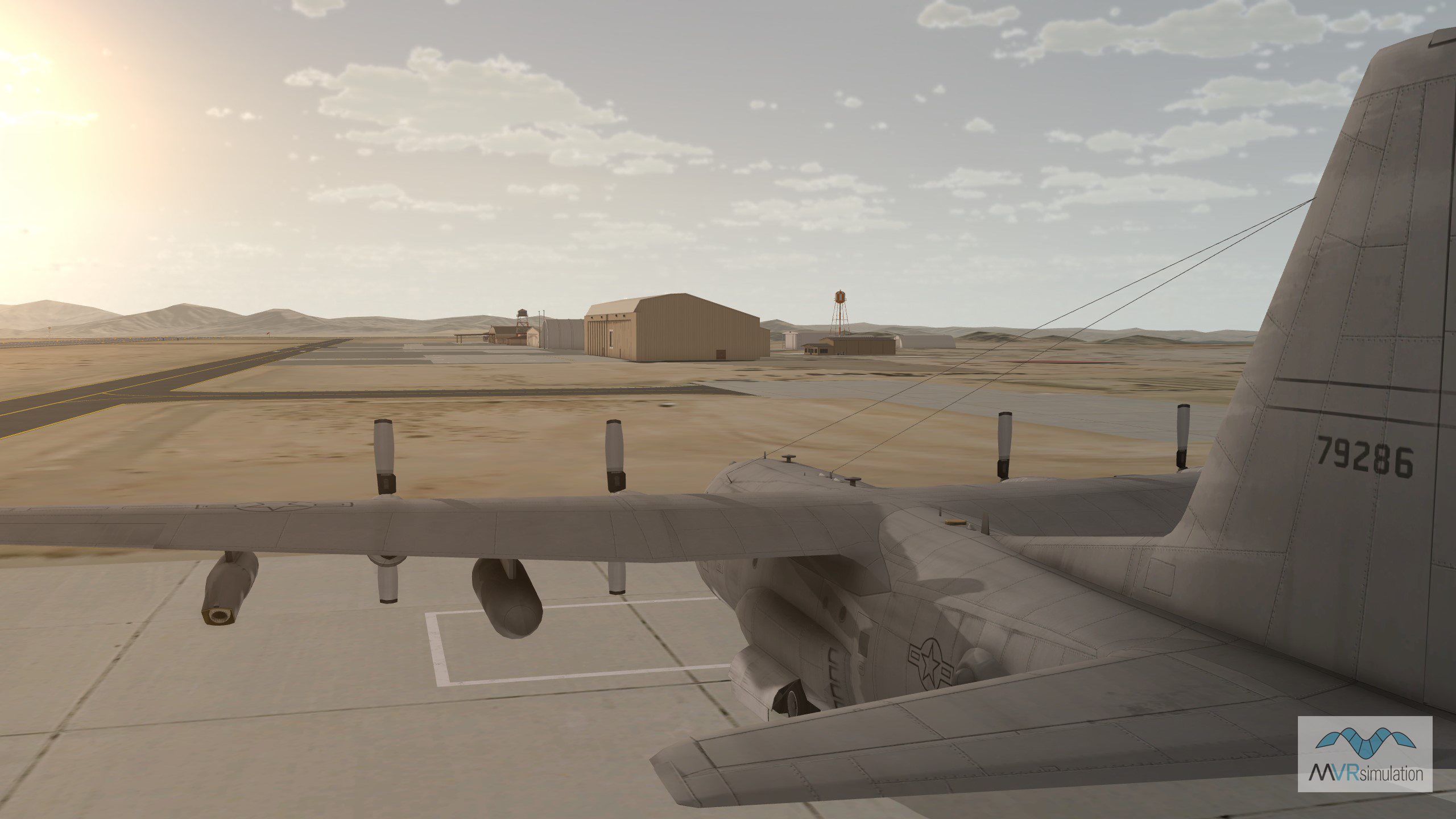
Cultural features on the virtual Laguna Army Airfield (KLGF) at the Yuma Proving Ground, AZ.
Videos of the Yuma Proving Ground Terrain
The Yuma Proving Ground terrain database is available on MVRsimulation's CONUS NAIP Southwestern drive. The CONUS NAIP 3D terrain, in round-earth VRSG terrain architecture, is available for use by all customers who are on active VRSG software maintenance and are US Government agencies or contractors (for official use only). For US-domestic use only, not available for export.

