
Prescott, AZ Terrain
About the database
MVRsimulation built a high resolution dataset of an area in Prescott Valley, AZ, as part of work to validate our ability to render sub-inch imagery into Virtual Reality Scene Generator (VRSG) terrain tiles using MVRsimulation’s Terrain Tools for Esri ArcGIS. This approach enables small high-res insets to be built quickly, including in response to customer requirements.
Image collection
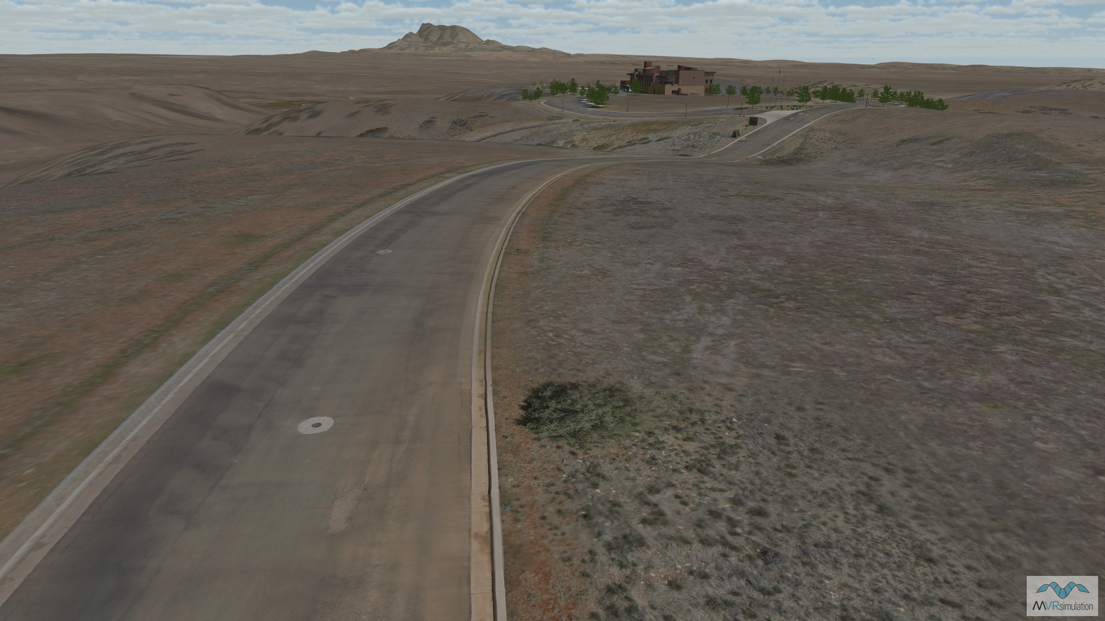
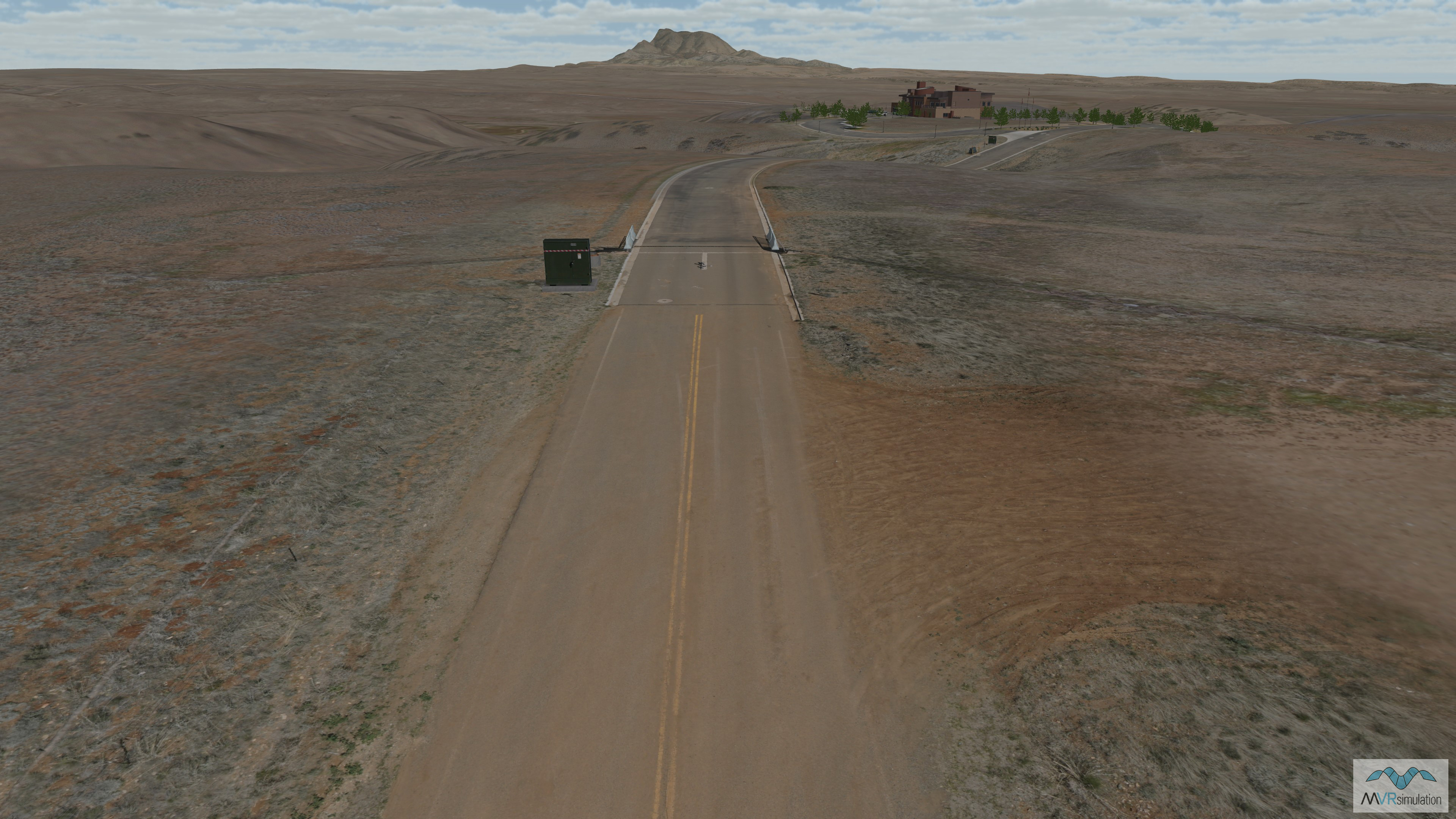
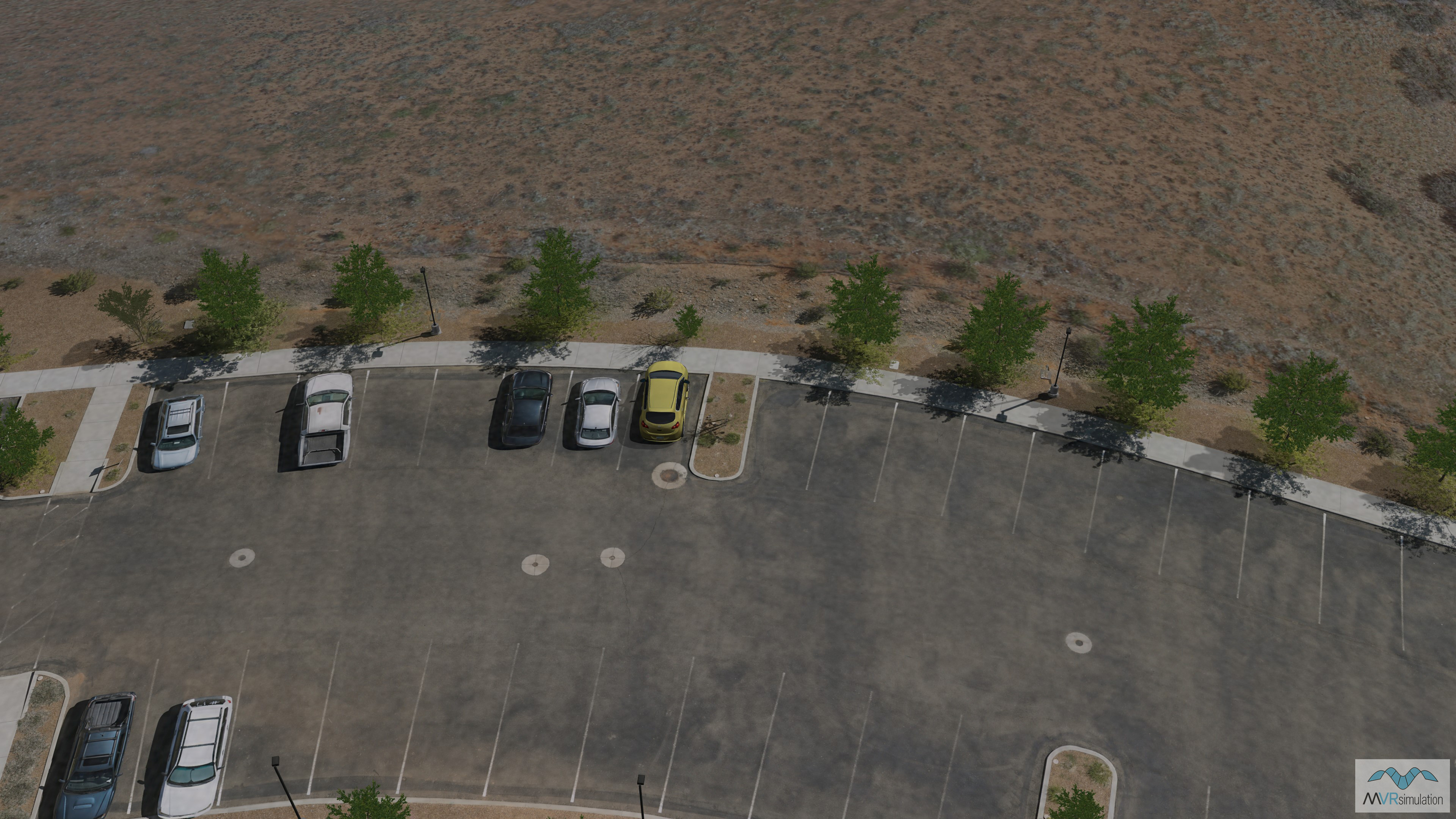
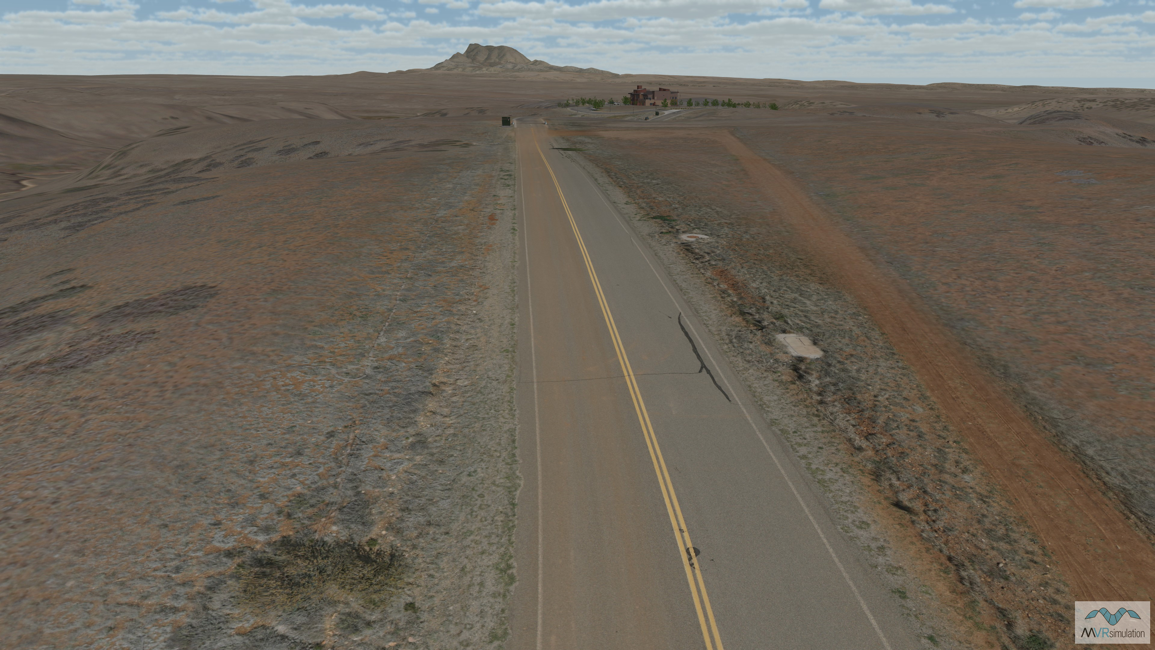
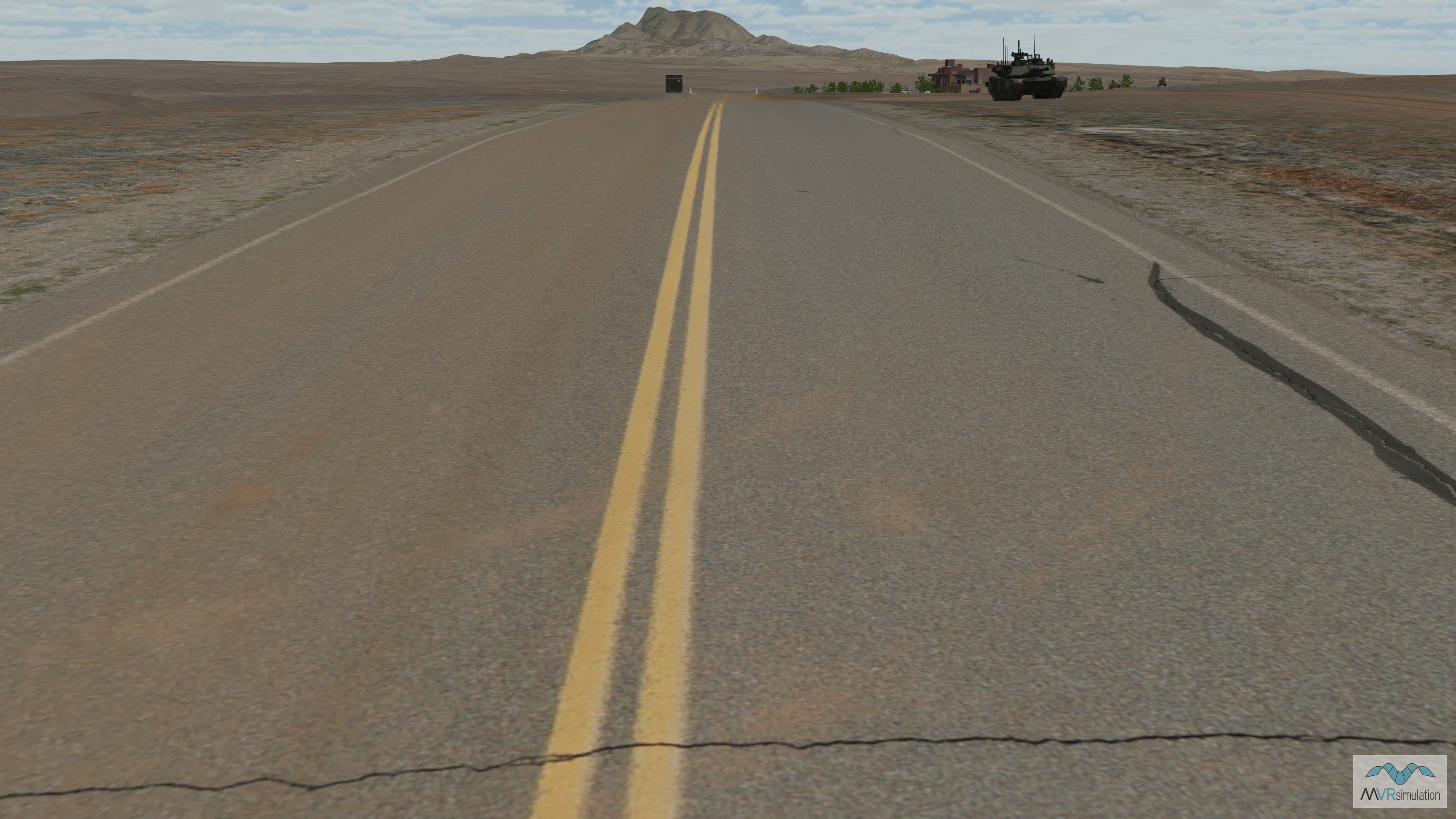
High resolution imagery was collected using a small UAS designed for autonomous aerial survey, built and operated by SRP Aero. The UAS flew at low altitude over the area, collecting imagery at a resolution of 2.5 cm (1 inch) per pixel; with imagery of specific terrain features, in this case the main road through the area, collected at a higher resolution of 5 mm per pixel.
Terrain production
The collected imagery was then orthorectified and processed, and compiled into the existing VRSG Southwest CONUS NAIP terrain tiles in such a way that the 5 mm imagery of the road was blended into the 2.5 cm imagery at the shoulder of the road; and the 2.5 cm imagery was blended into the underlying 1-meter NAIP imagery with 10m elevation data.
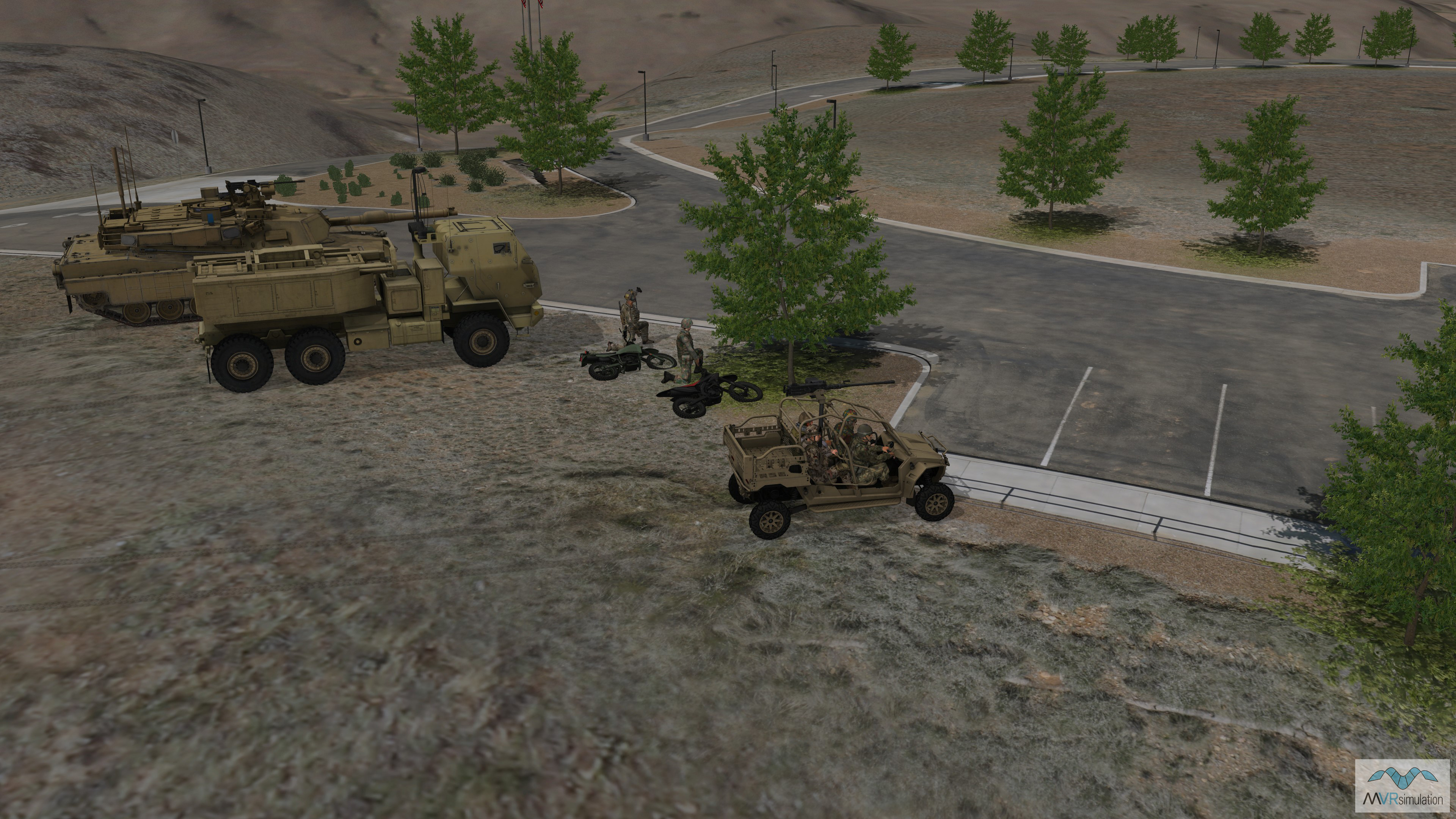
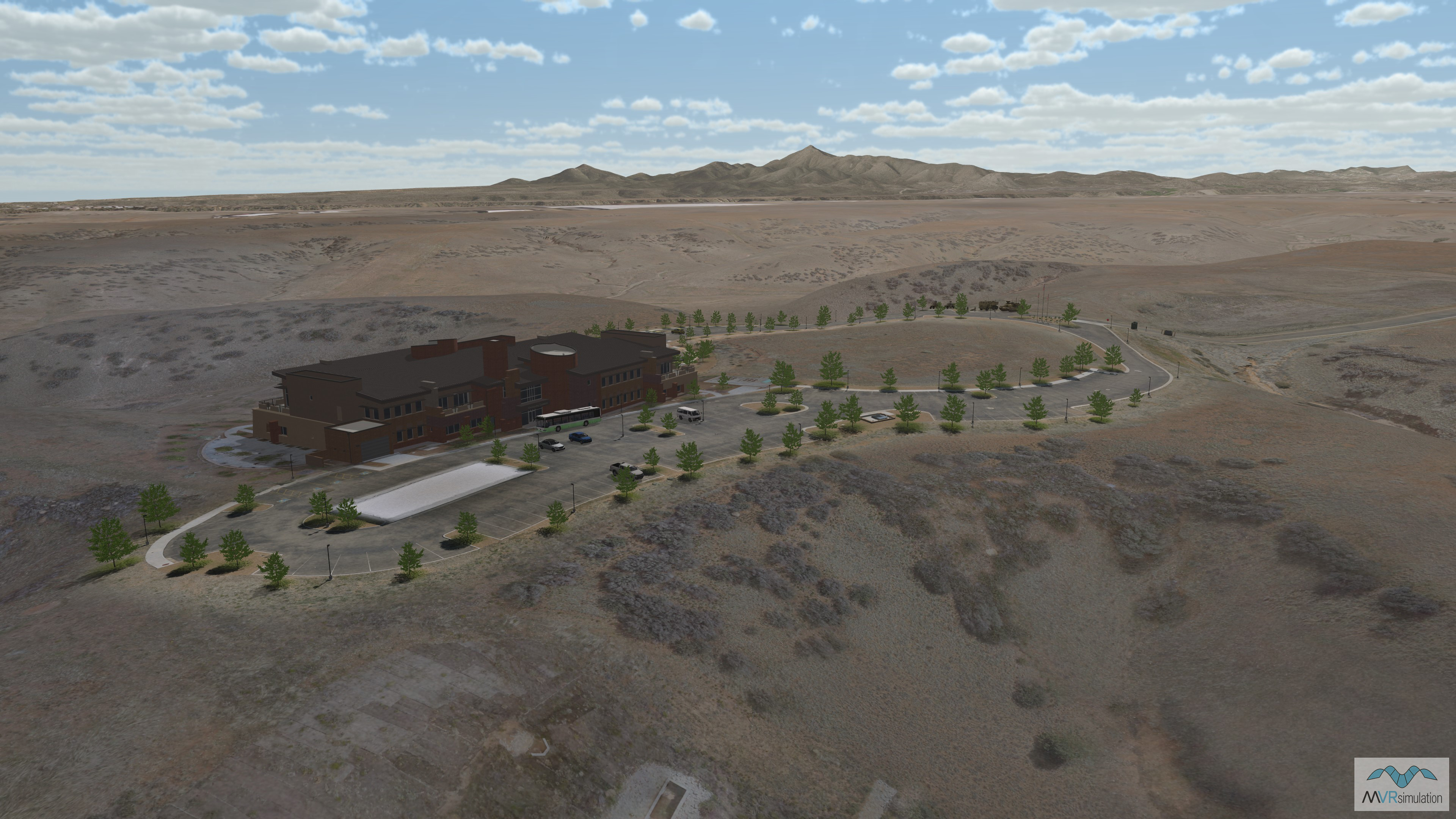
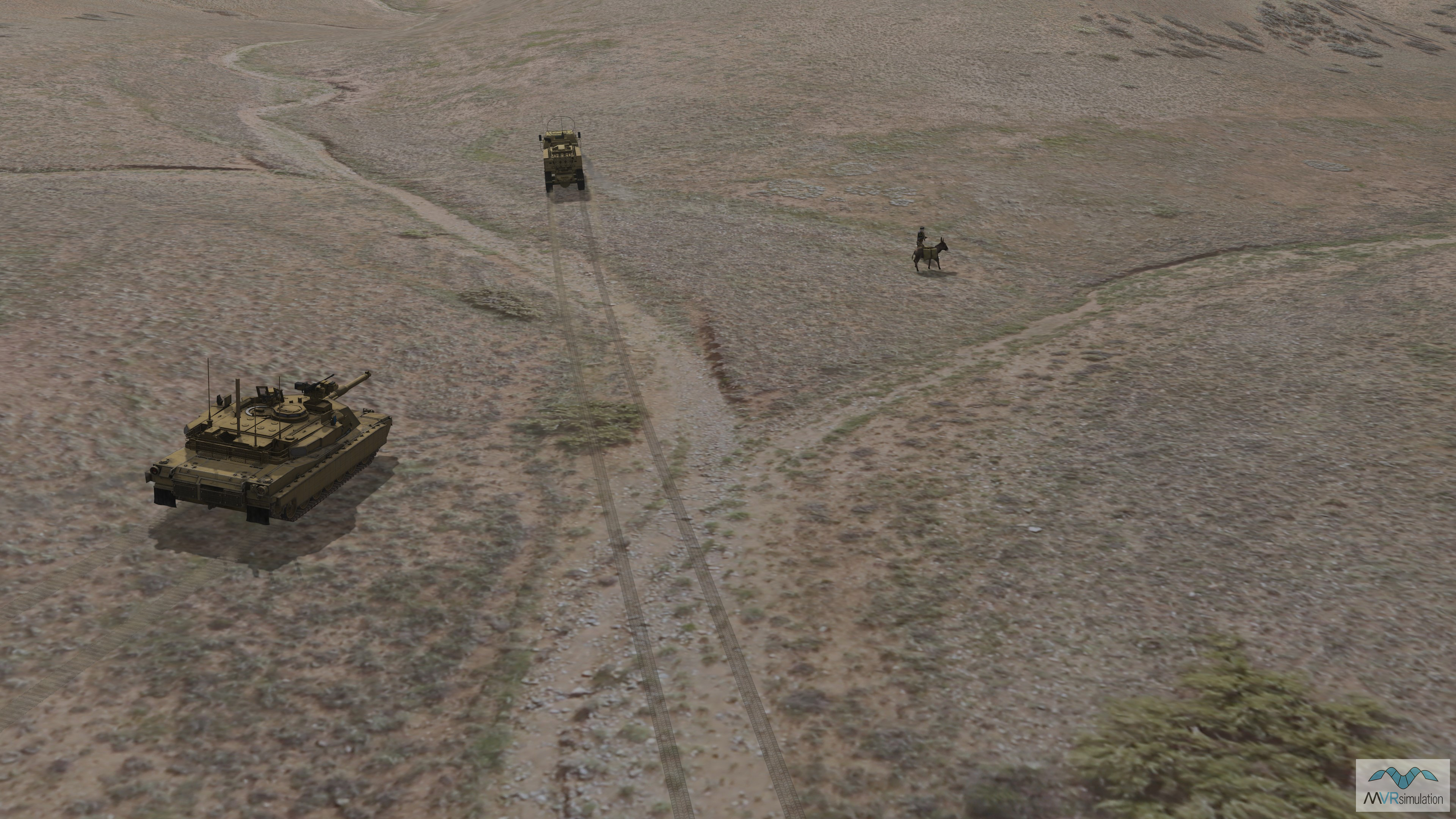
The result is a high-resolution dataset that features ultra-high resolution terrain features that are critical for training scenarios. The terrain can be further enhanced by placing cultural elements from the VRSG model library in the scene.
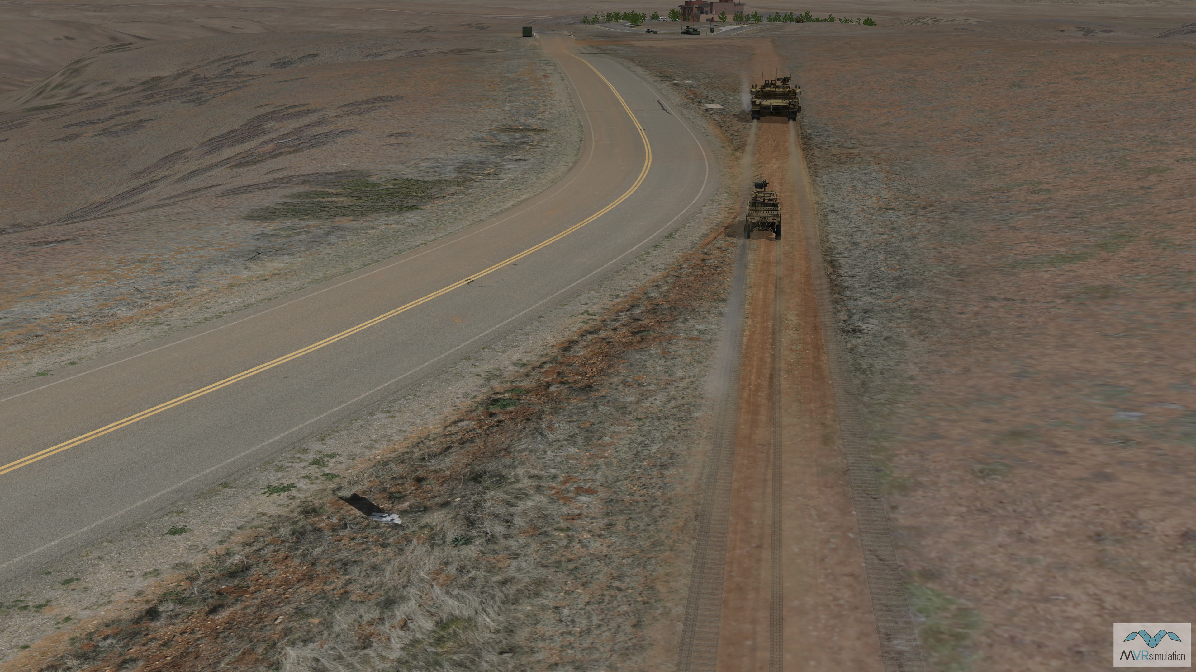
The high-resolution road through Prescott, AZ, with real time 3D vehicle models from VRSG's model library.
MVRsimulation’s Prescott, AZ, inset is available as part of the Southwest US region of VRSG's CONUS NAIP terrain, available to customers who are on active VRSG software maintenance. The terrain is provided in MVRsimulation's round-earth terrain format and will only run with a valid VRSG software license with valid software maintenance. More information about ordering a new terrain area of interest can be found here.